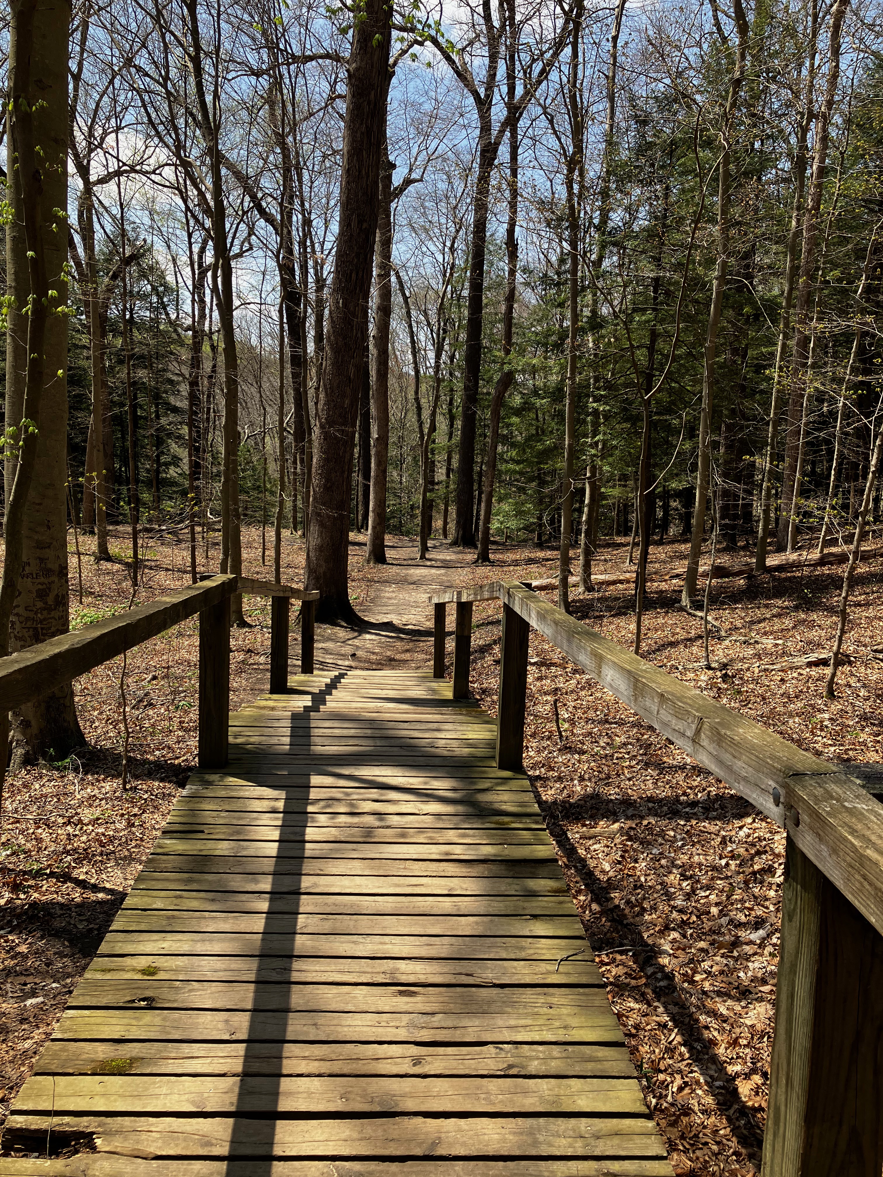
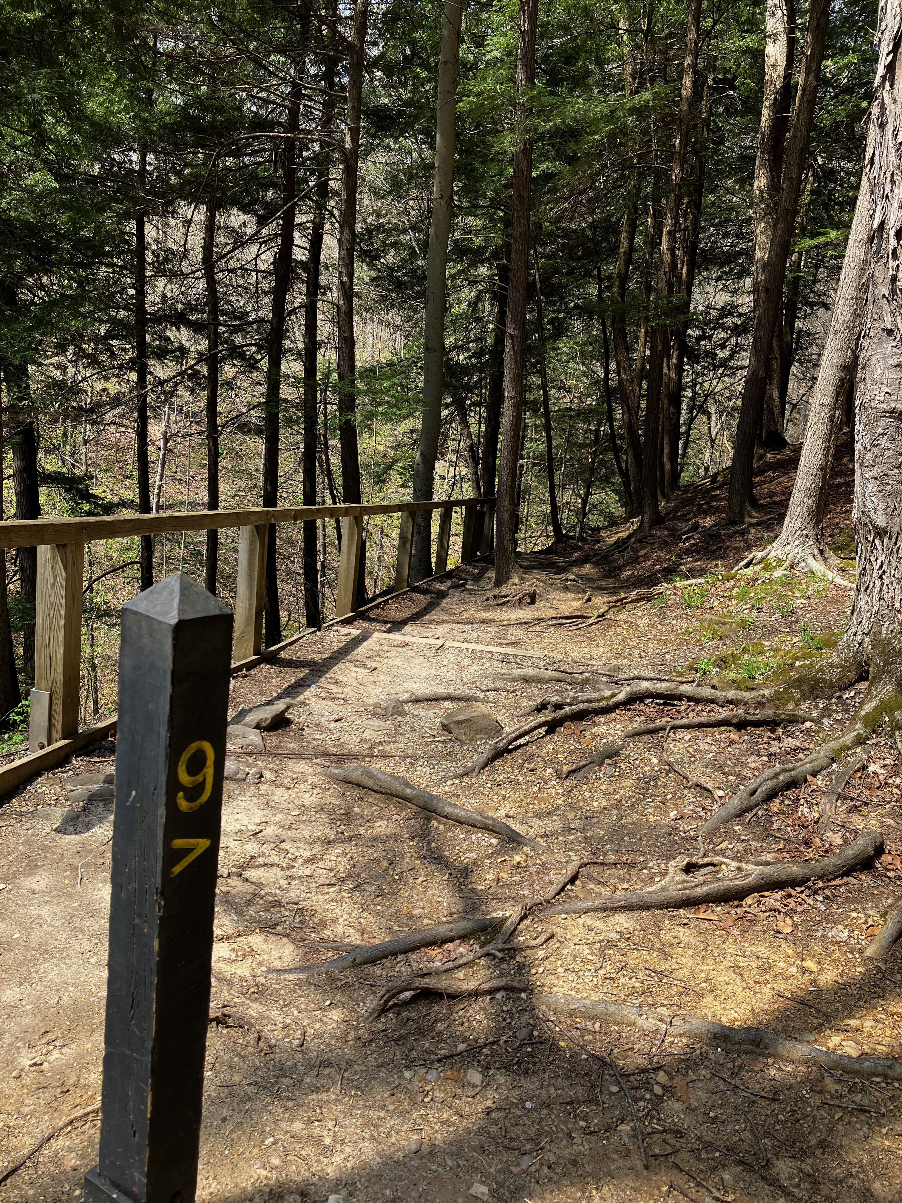
Category Archives: Hiking

Shingles Adventure

The night before I was set to go skiing, my arm was sore enough to question whether I could properly use my ski poles. The next morning, my wife immediately diagnosed the rash on my right arm as Shingles. Surprisingly, I was able to see my doctor who confirmed it was Shingles. Within an hour, we had the Famciclovir medication immediately thereafter. The week’s worth of pills, taken 3 times daily, seemed to keep the rash under control, and I never had much scabbing. I used Lidocaine for topical pain relief (this was critical) and ibuprofen offered the best overall pain relief. After about 3 weeks, I felt like the Shingles was receding so that I could return to hiking, but that has turned out to be an entirely different recovery journey.
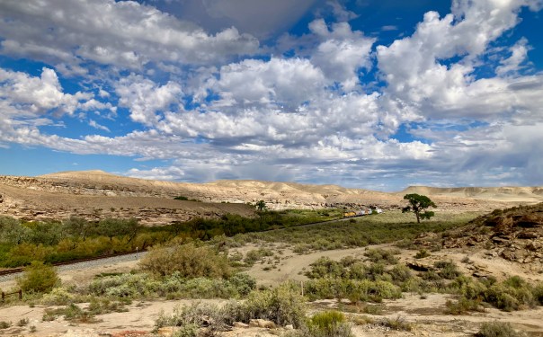
If you have followed my Adventures, you know that I am going through a major life change which placed me in Indiana for about 18 months, and now my new wife and I are adapting to our final destination of Grand Junction, CO. Backpacking has become a memory stretching back to February of 2022 on the Lost Coast Trail. I did hike many of the Indiana State Parks and I had been aggressively hiking the best of the day hikes around the Grand Valley. I desperately want to get back to backpacking and I do have plans for building up to a bucket list trek of the Four Pass Loop Trail in the Maroon Bells Snowmass Wilderness next to us. I felt like I was on track for restoring my almost 70 year old body to backpacking shape, but then came this Shingles setback. No I did not get the vaccination, Shingles was not on my radar, plus I probably believed I was invincible. I will get the vaccination soon.
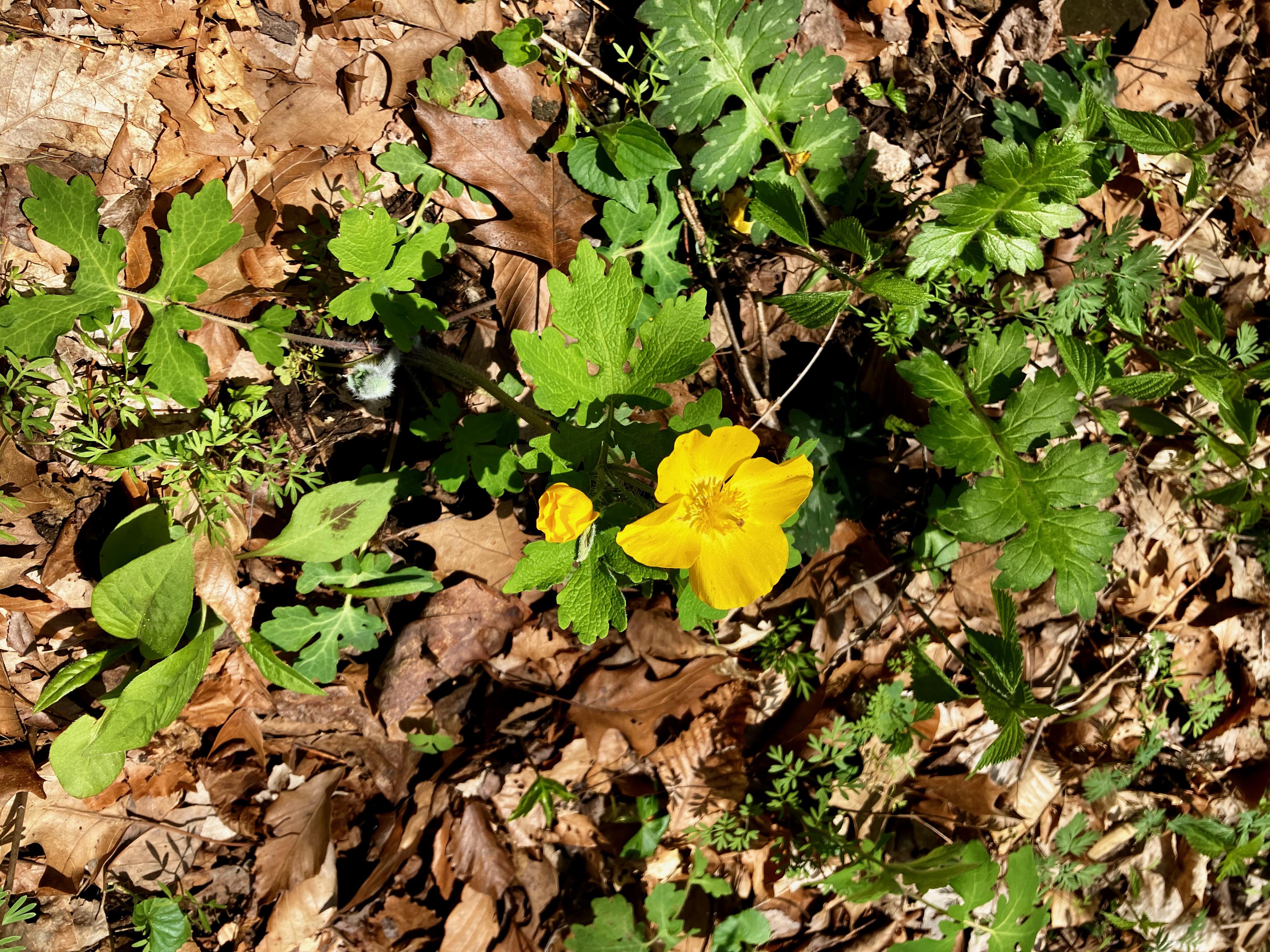
The visible aspects of Shingles was fading away so I began walking in the neighborhood, quickly realizing how out of shape I felt. But it was more then being out of shape, my body was obviously affected by the Shingles (Herpes Zoster) virus which was totally zapping my energy. I could barely walk a mile and if I pushed it further I paid the price with renewed arm pain.
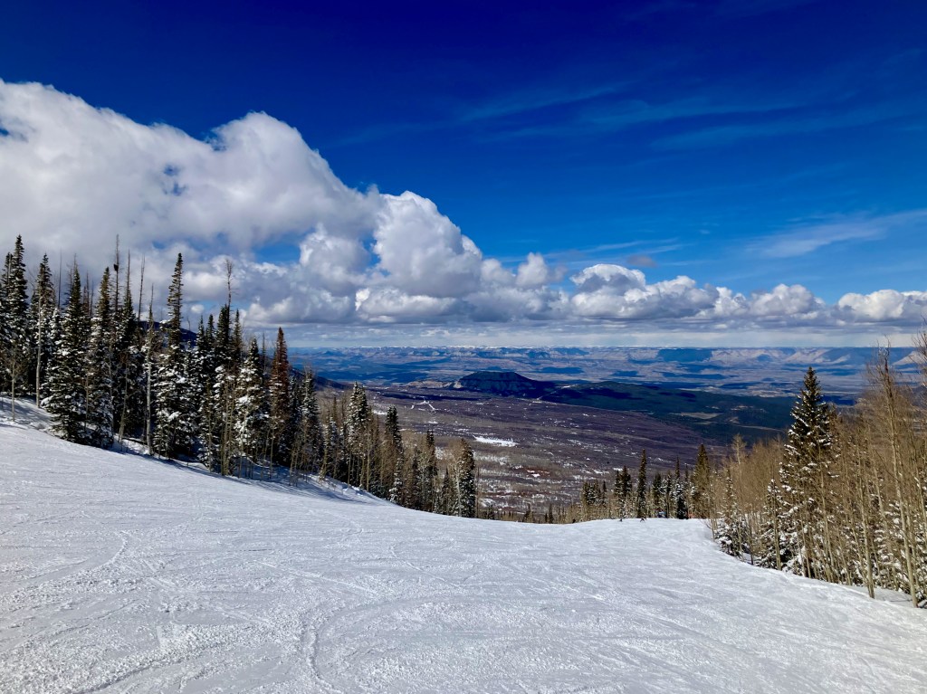
This struggle continued for weeks as the winter ski season was coming to a close, and I had 3 lift passes that I needed to use. By March I was hiking the trails in our new subdivision where our house is being built and the ill effects were acceptable. Plus golf season was beginning and I wanted to join a Senior’s Golf League,so it was time to push the body. I went skiing doing about 7 runs with a few days of recovery. I walked 9 holes of golf a couple of times, barely able to finish. But now at the end of March, I had to get back in the saddle. I used up my lift passes and was satisfied enough to buy a season pass for next year.
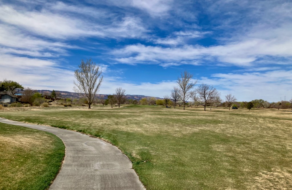
I played 18 holes with the Seniors by using a riding cart. I did some aggressive 2+ mile hikes and returned to my Oculus SuperNatural workouts. On most of these outings I would come home and crash, but recovery was acceptable. Of course I made the mistake of believing I could walk 18 holes on my second Senior’s outing. I barely was able to finish, so maybe I better ride for a while longer.
This was not an Adventure I wanted, but one that taught me a lot about aging. I am not invincible and the body is wearing down. My priorities are adjusting, but I’m still gonna push for many more Adventures as I finish up the 4th Quarter of my life. Life is good and The Adventure Continues.

My Goto Hikes around the Grand Valley
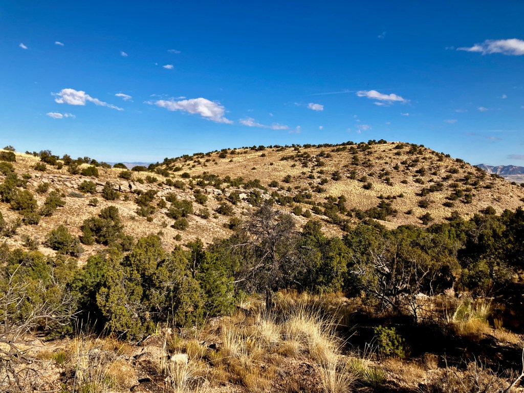
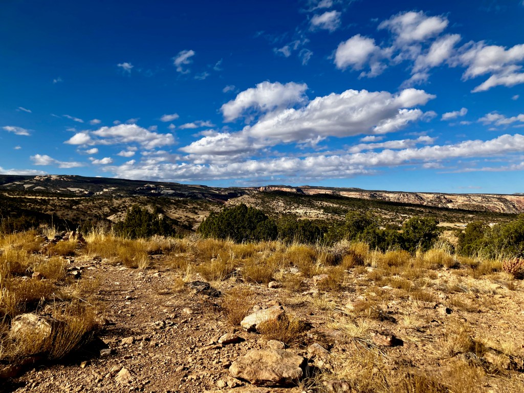
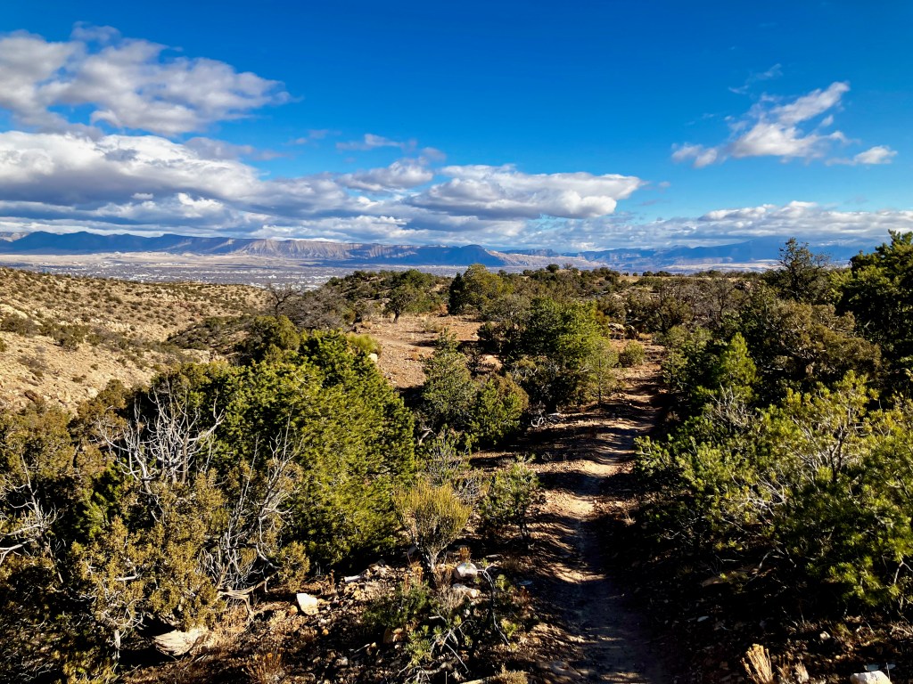
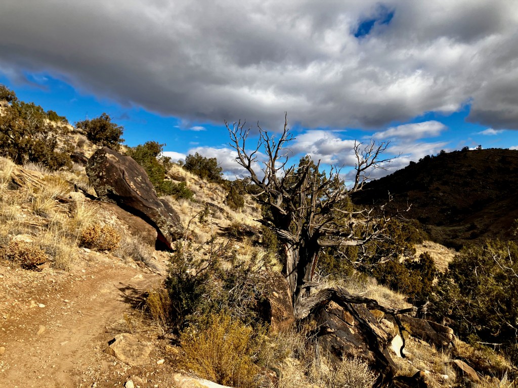
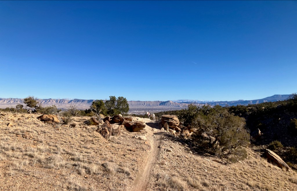
This post will highlight hikes around the Grand Valley that I use for training and bliss. I will try to link an AllTrails link for each hike to offer some navigation and directions. I would also recommend looking up these hikes on the gjhikes.com site.
I have set up this list from easy to hard.
- Miracle Rock Trail, 1 mile 200′ vertical
- Devils Kitchen Trail, 1.5 mile 311′ vertical
- Echo Canyon Trail, 2.4 mile 500′ vertical
- Mica Mine Trail, 2.6 mile 290′ vertical
- Palisade Rim Trail, 3.3 miles 616′ vertical
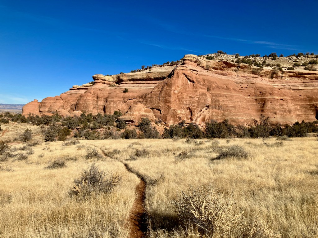
- No Thoroughfare Canyon Trail, to 1st waterfall ~ 3 miles
- Gunny Loop/Connector, 4 miles 480′ vertical
- Gunnison Bluffs, 4.3 miles 305 ‘ vertical
- Flume Canyon Western Loop, 4.5 mile 505′ vertical
- Flume Canyon, 5 mile 500′ vertical
- Second Thoughts + Twist-N-Shout Trail, 4.9 miles 617′ vertical
- Monument Canyon Loop Trail, 5 miles 750′ vertical
- Devil’s Canyon D1 and D7 Loop, 5.1 miles 670′ vertical
- Pollock Bench Trail, 7 miles 920′ vertical
- Rough Canyon Loop Trail, 4.5 miles 900′ vertical
- Devils Canyon Loop Trail, 7 miles 800′ vertical
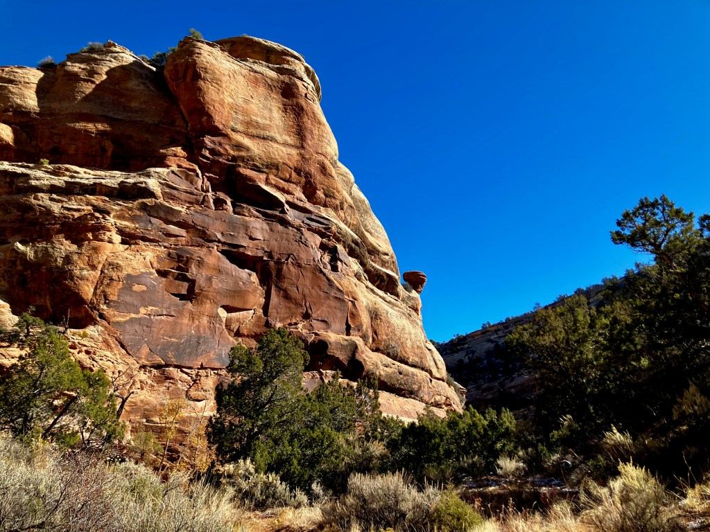
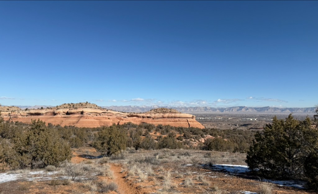
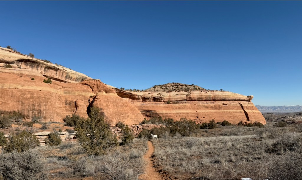
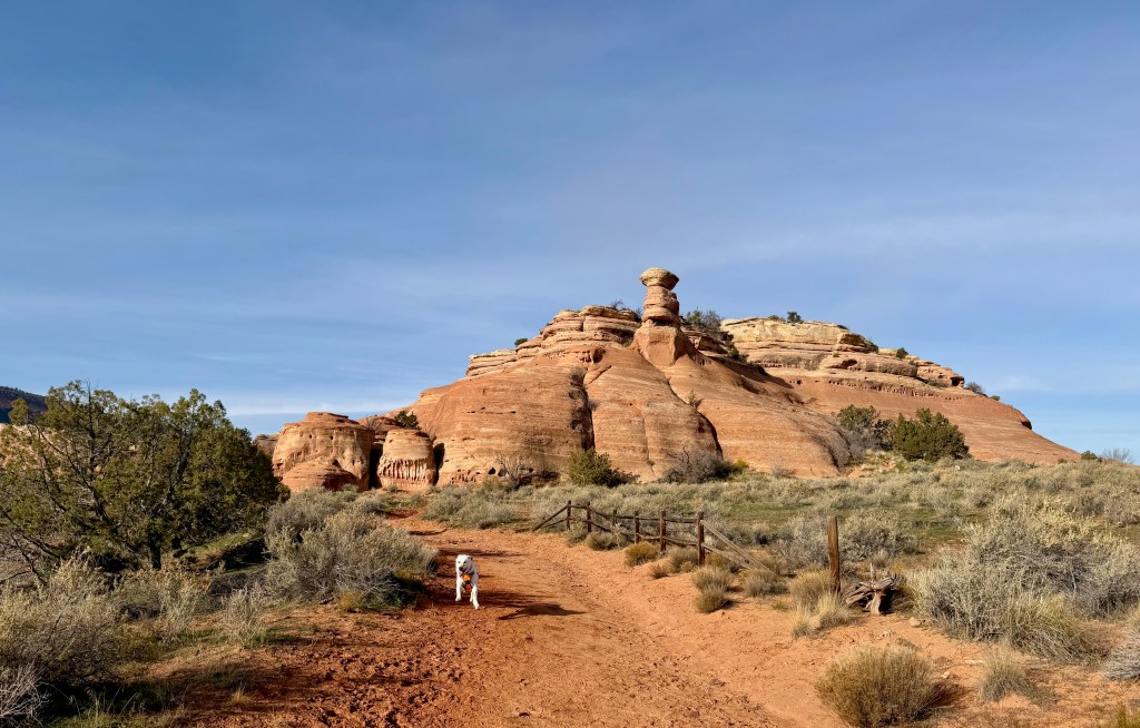
Miracle Rock Trail, 1 mile 200′ vertical
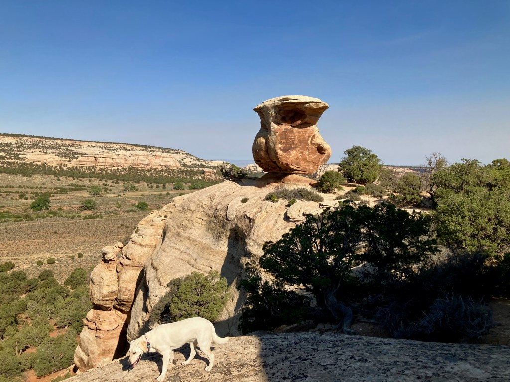
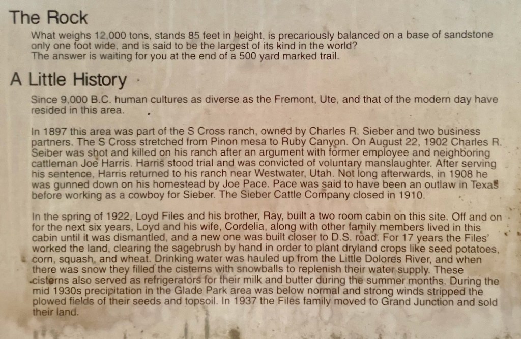
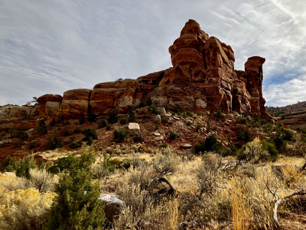
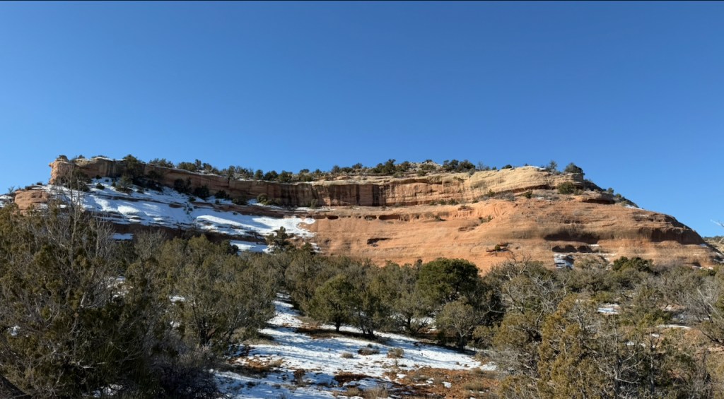
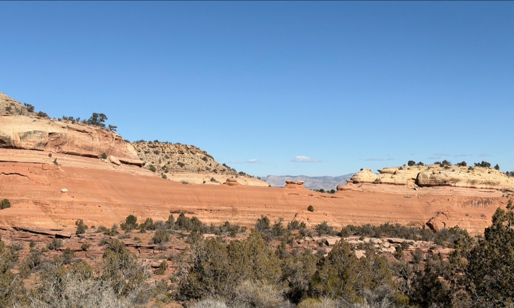
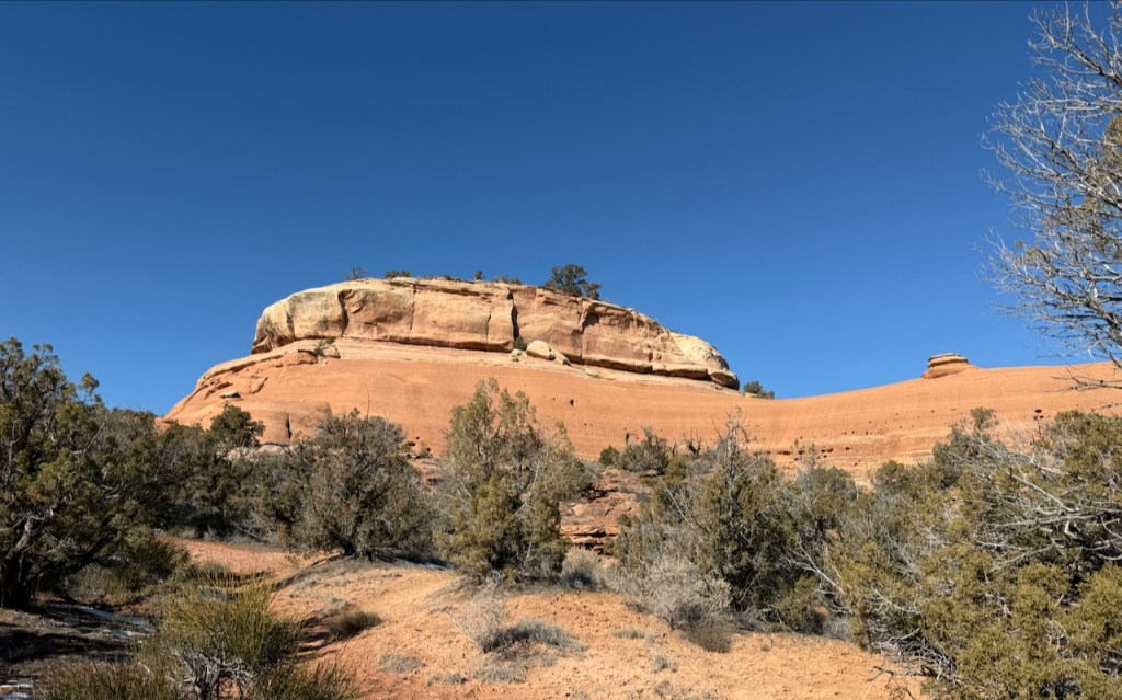
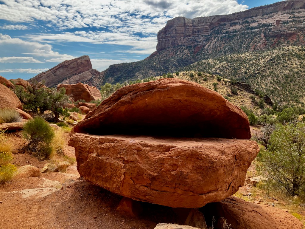
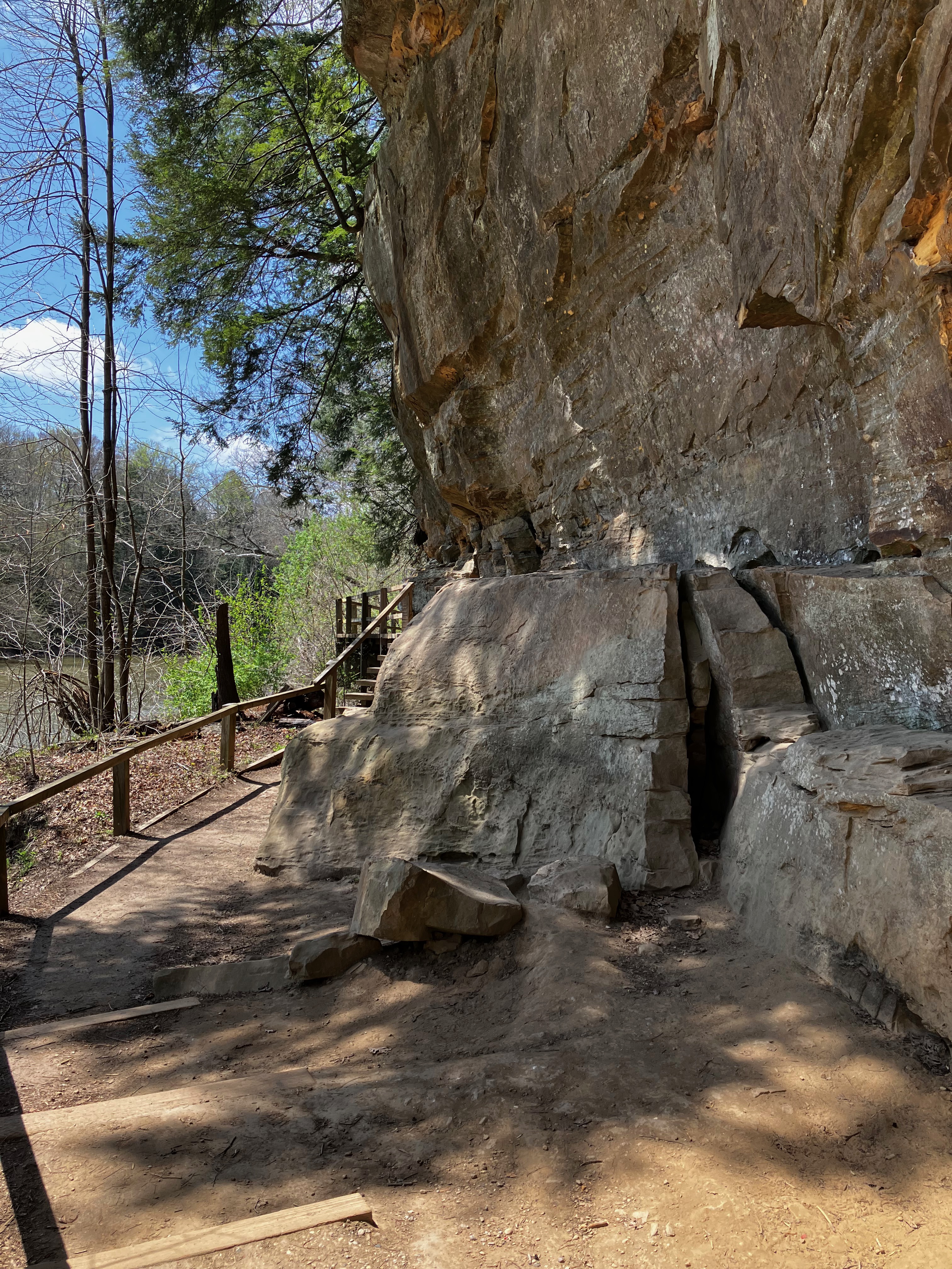
Miracle Rock Trail is located in the area of Glade Park just off of 9 & 8/10 Road. Miracle Rock weighs 12,000 tons and stands 85 feet tall, massive boulder, weighing hundreds of tons, that is perched on top of an area that is only 1 foot wide. The Trailhead is a very nice Picnic Area with a pit toilet.
Some interesting history of this site.
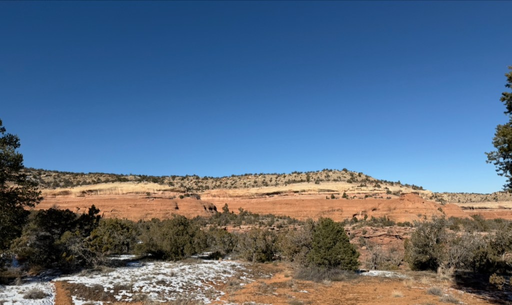
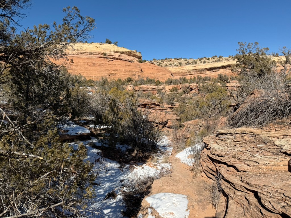
The hike up to the Miracle Rock is fairly straightforward of moderate difficulty. The primary views are of the Glade Park area but also some views toward the Little Dolores River valley.
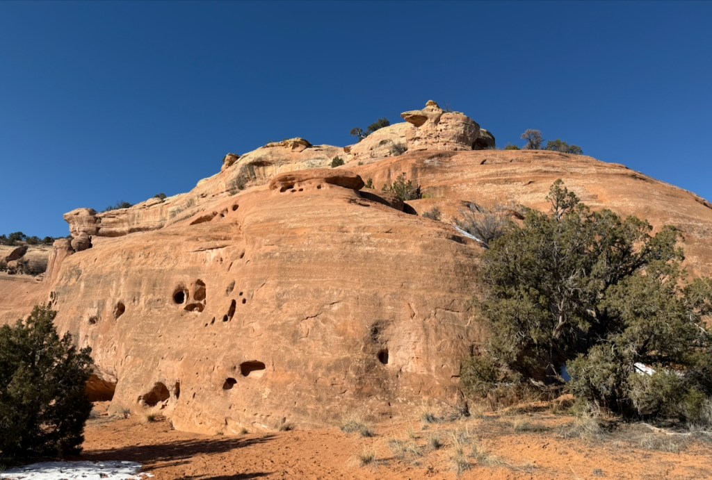
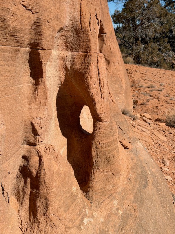
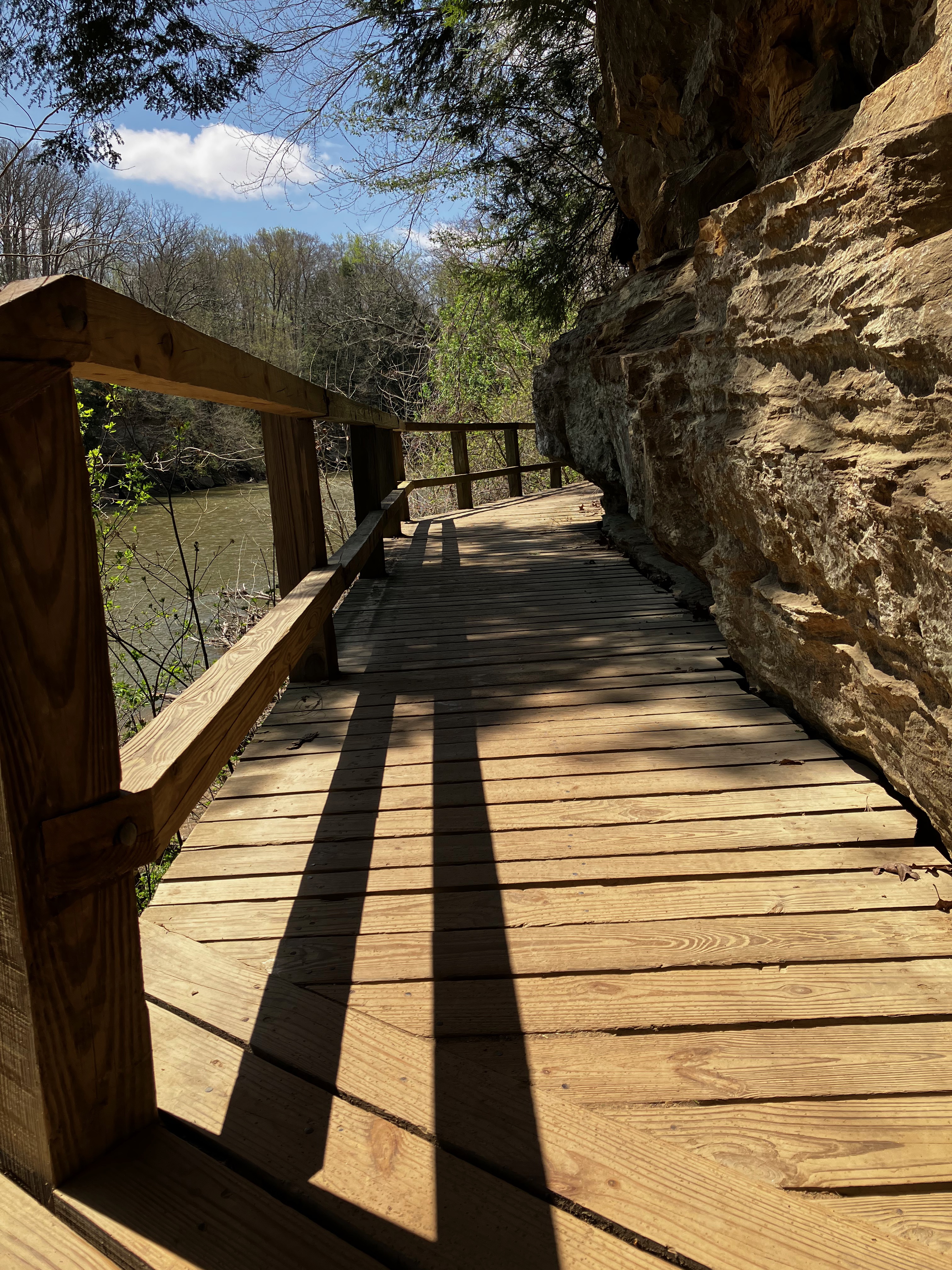
I hiked beyond the Miracle Rock at first. where the trail wraps around a rock wall, but there were some interesting formations and a nice place for a campfire.
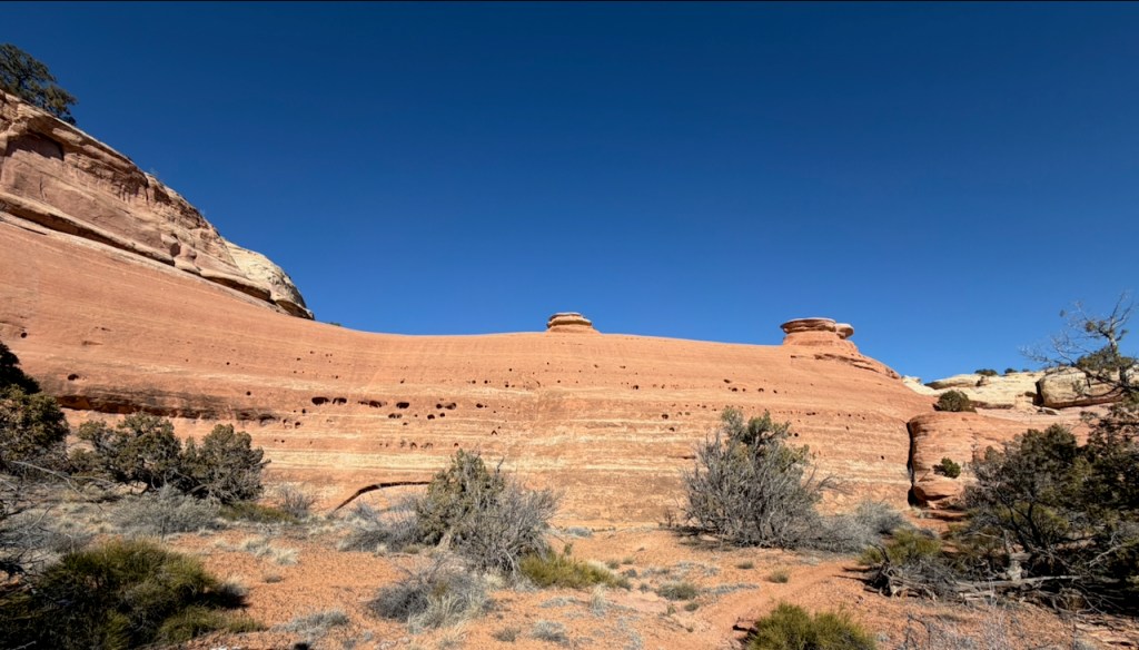
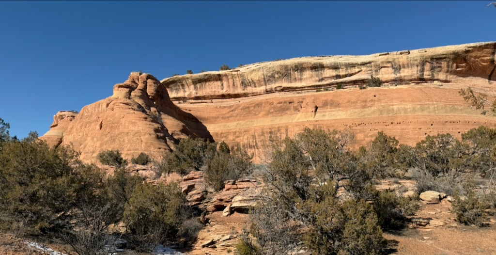
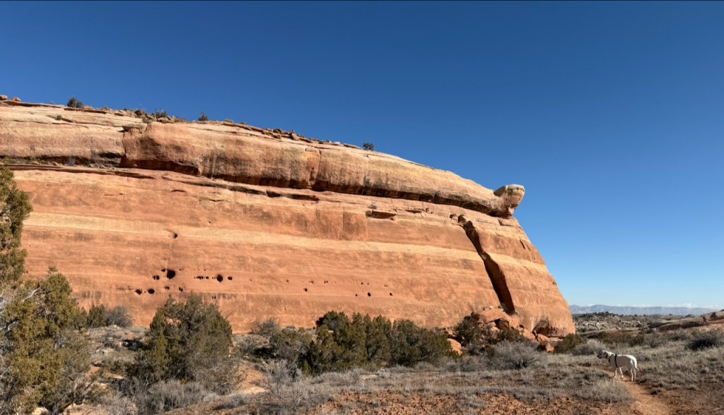
Heading back north toward the Miracle Rock began the array of views of this amazing perched rock.
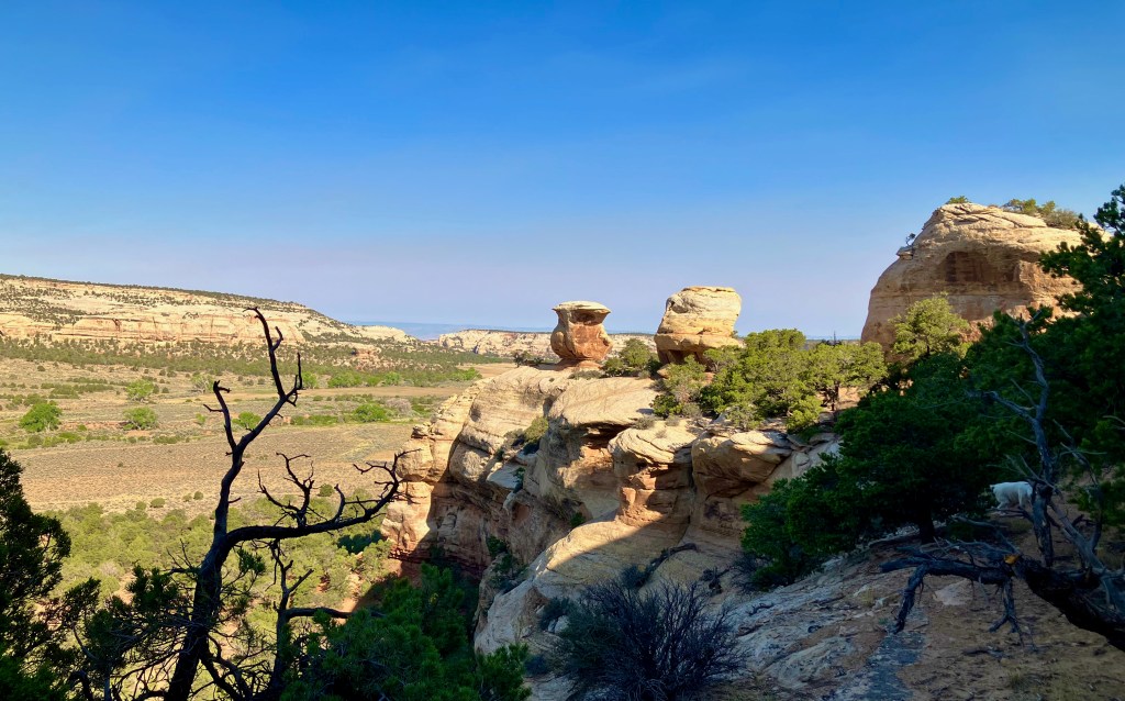

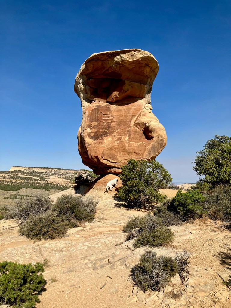
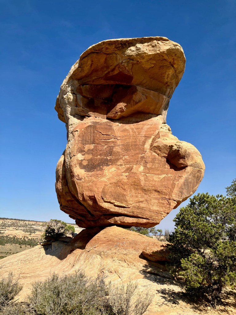
Views up close help to show how precarious this perch really is. You can’t help but wonder when this rock will fall over, hoping it is not when you are under it.
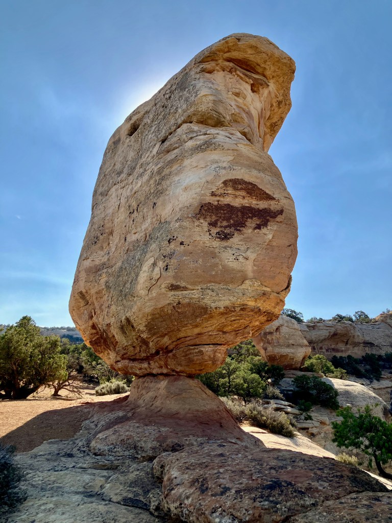
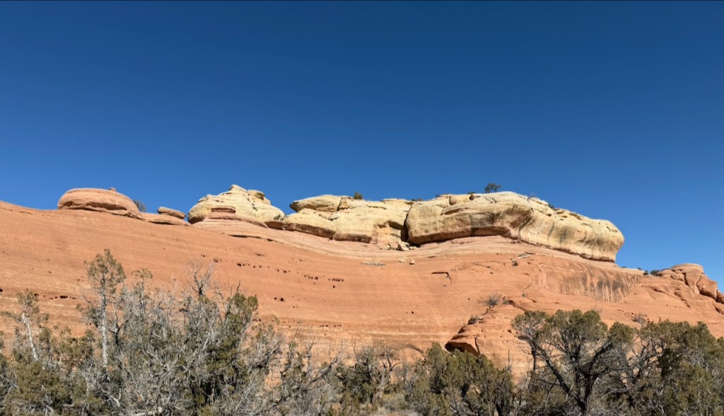
Overall Miracle Rock was an amazing reward for such a simple hike.
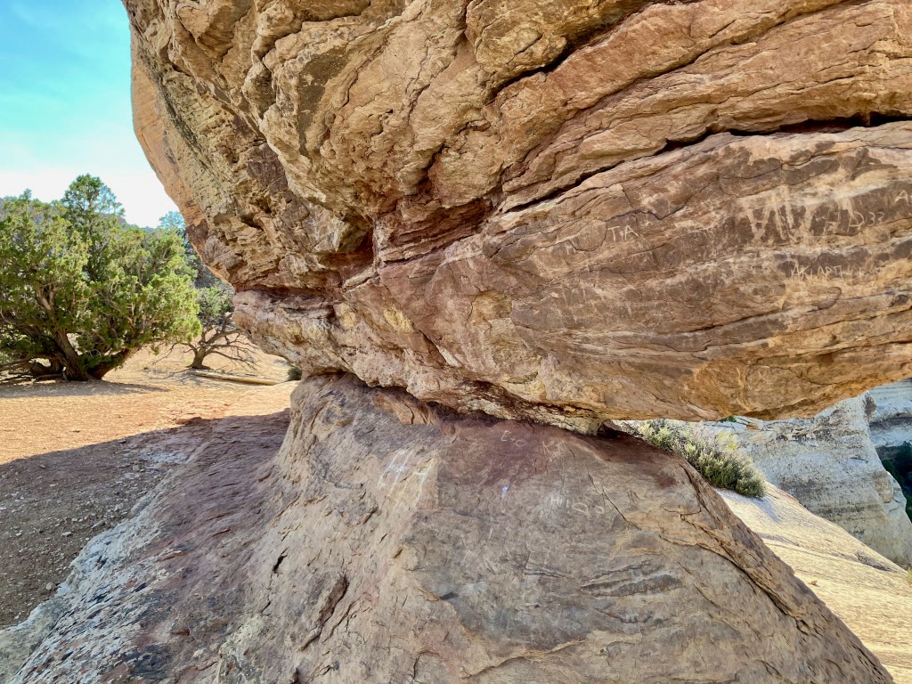
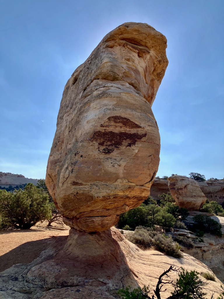
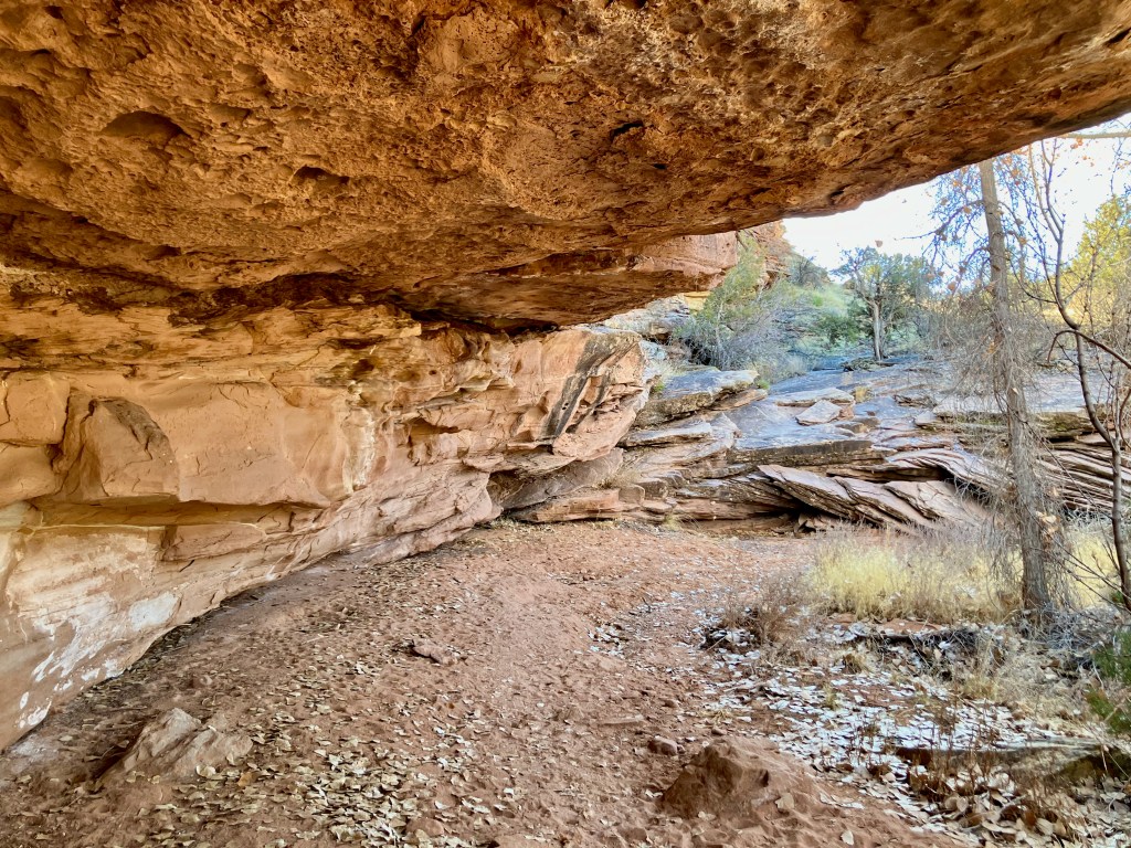
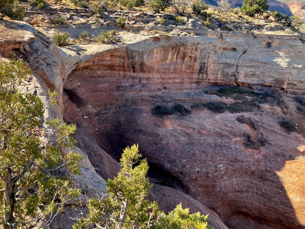
Devils Kitchen Trail, 1.5 mile 311′ vertical
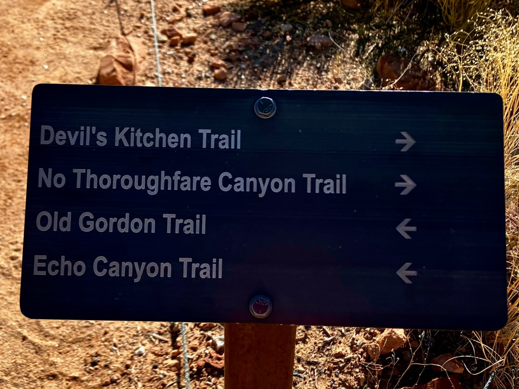
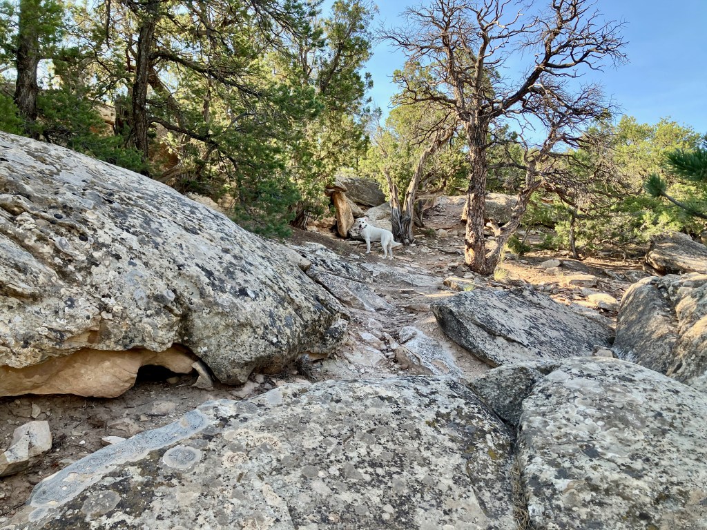
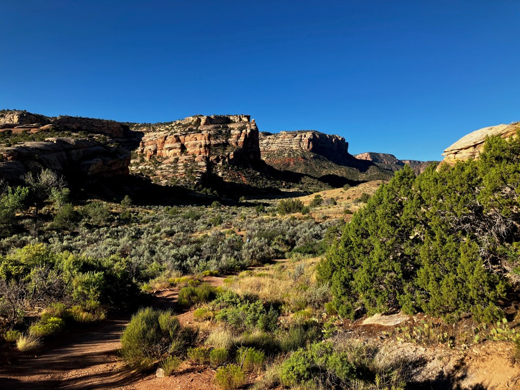
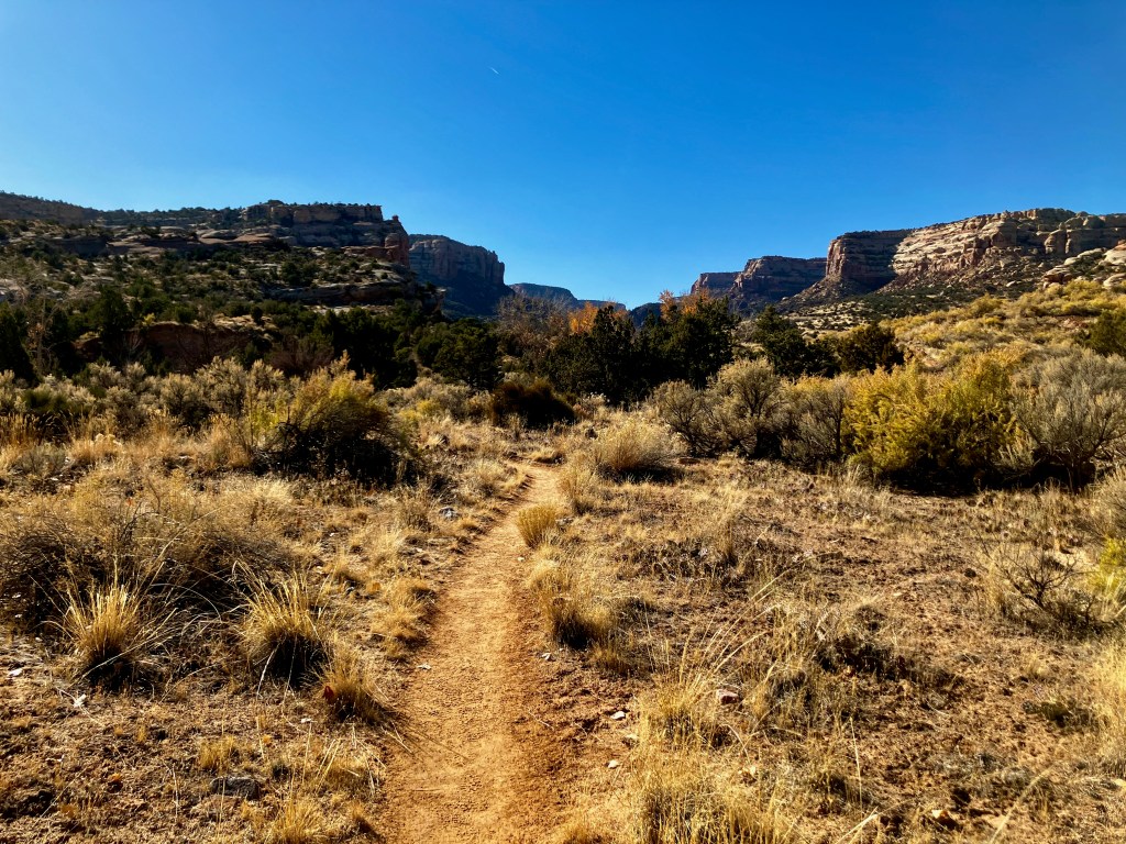
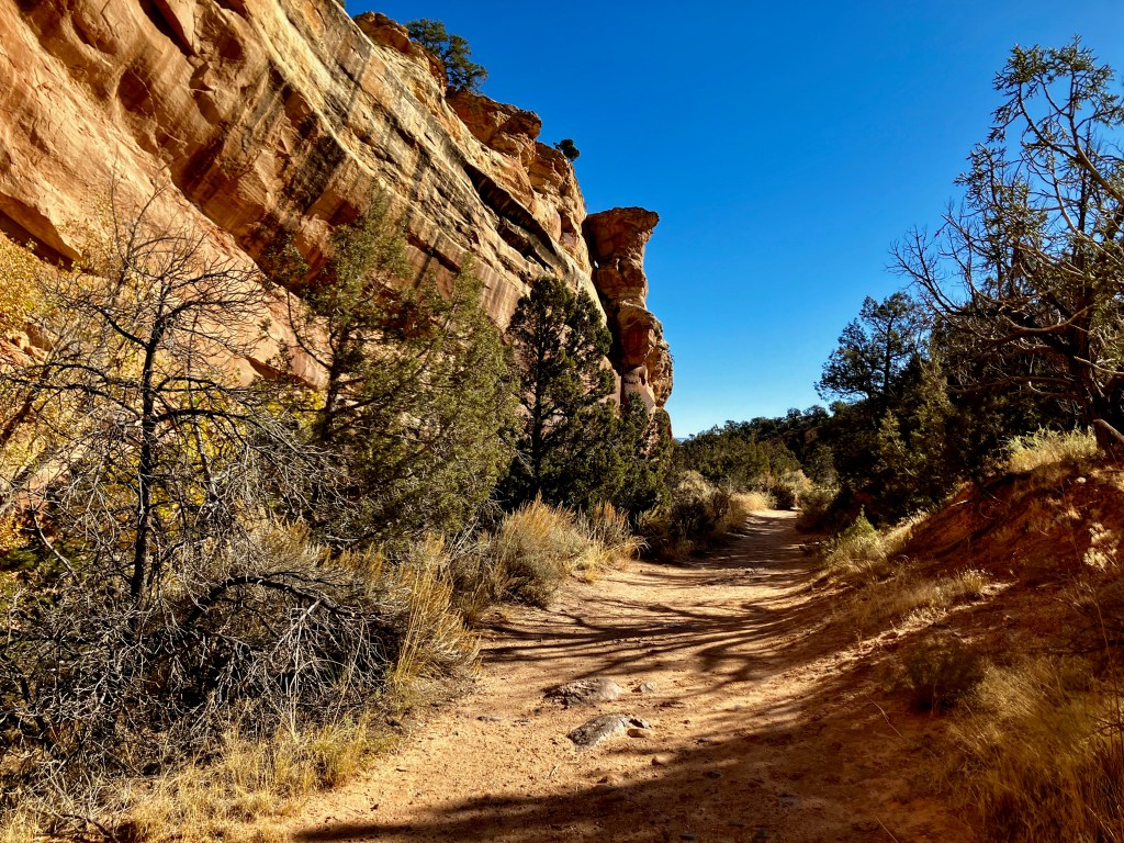
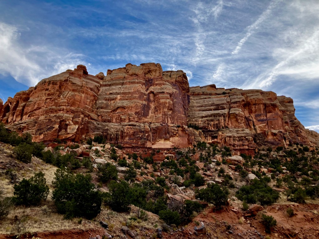
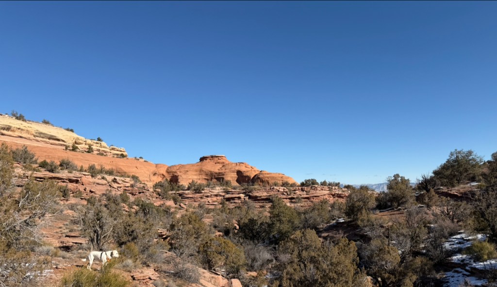
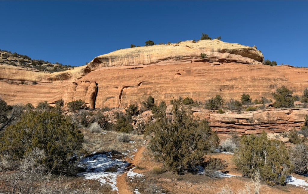
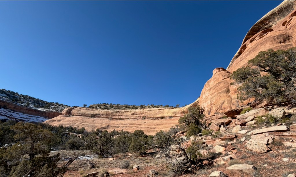
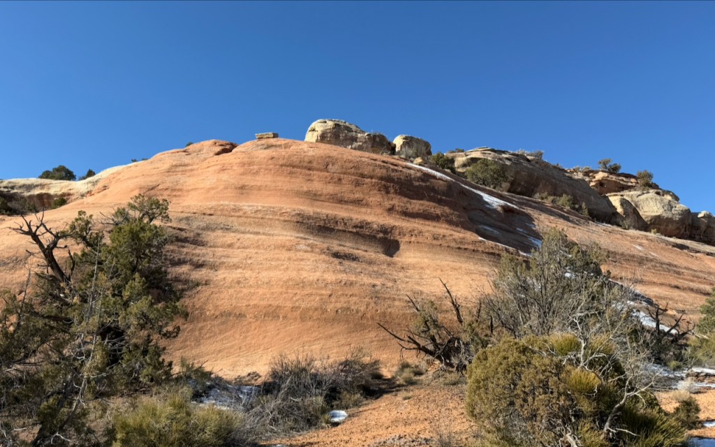
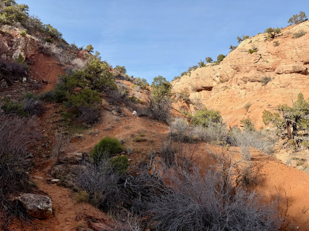
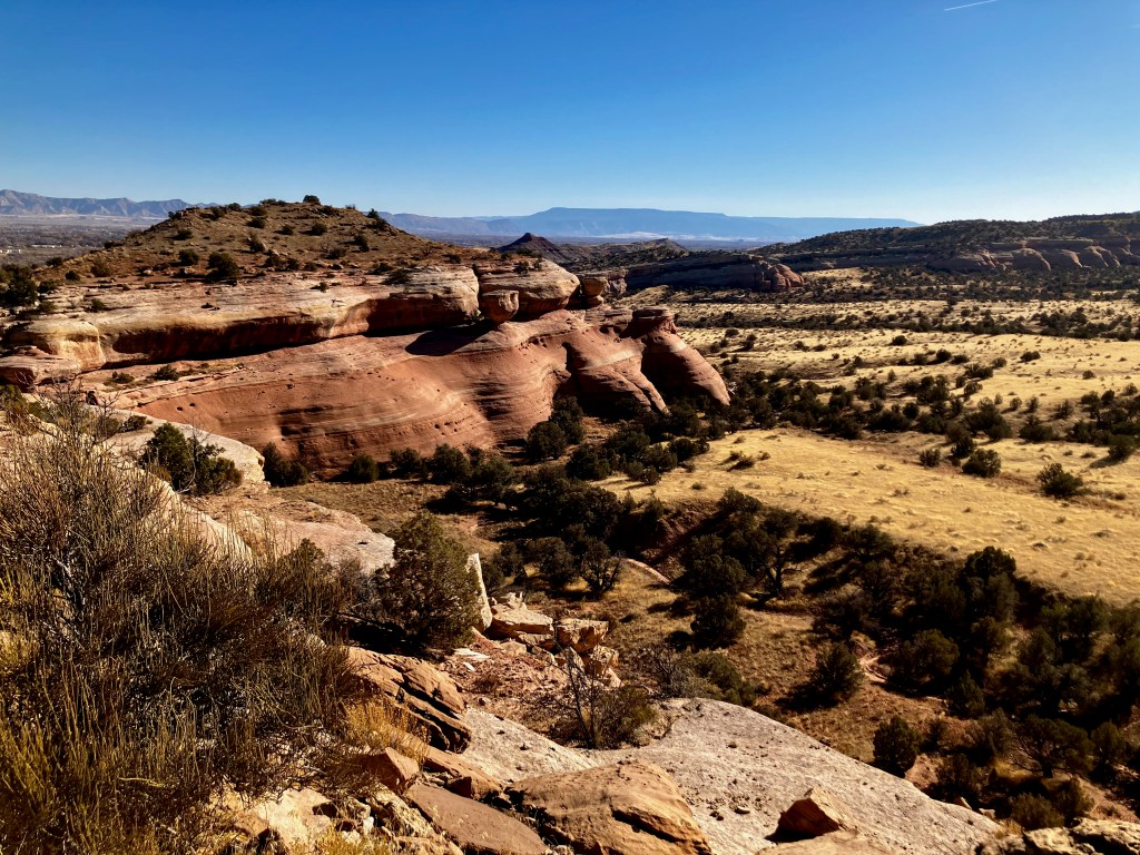
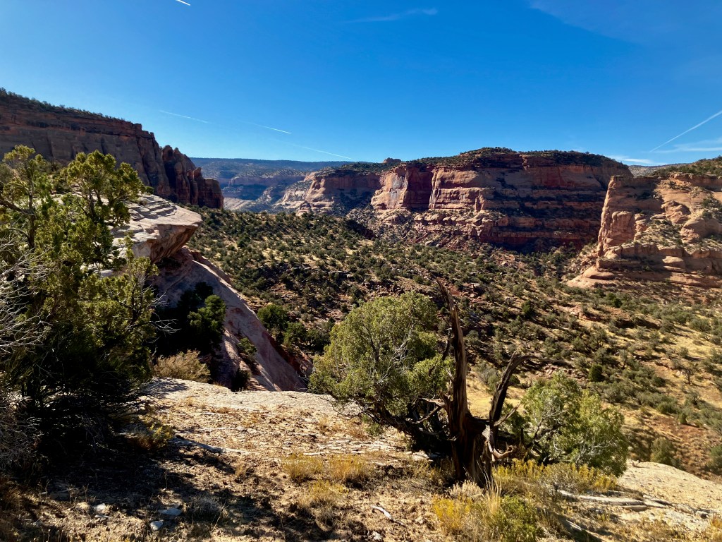
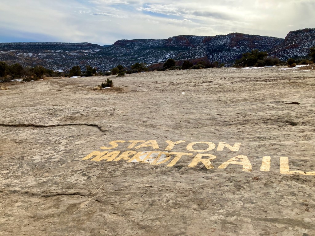
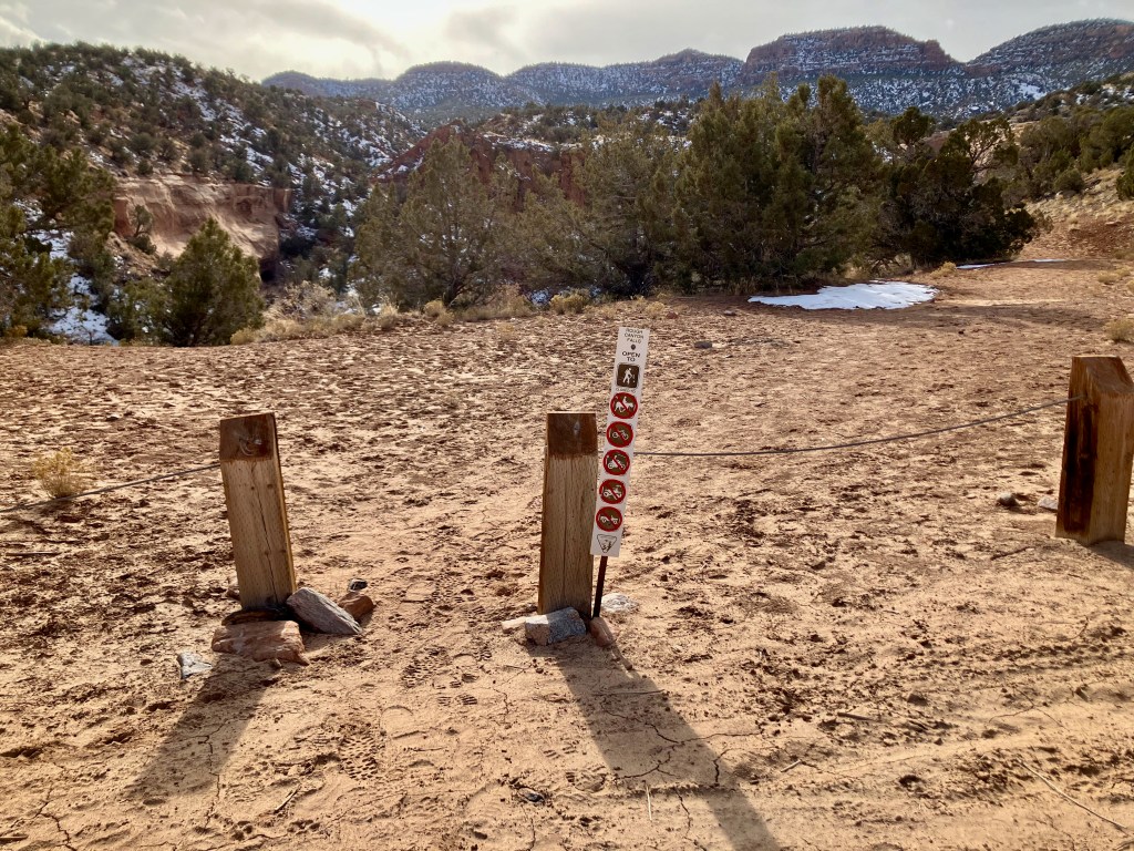
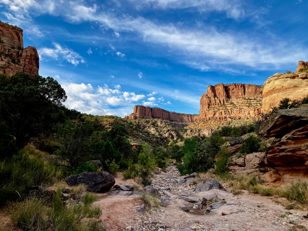
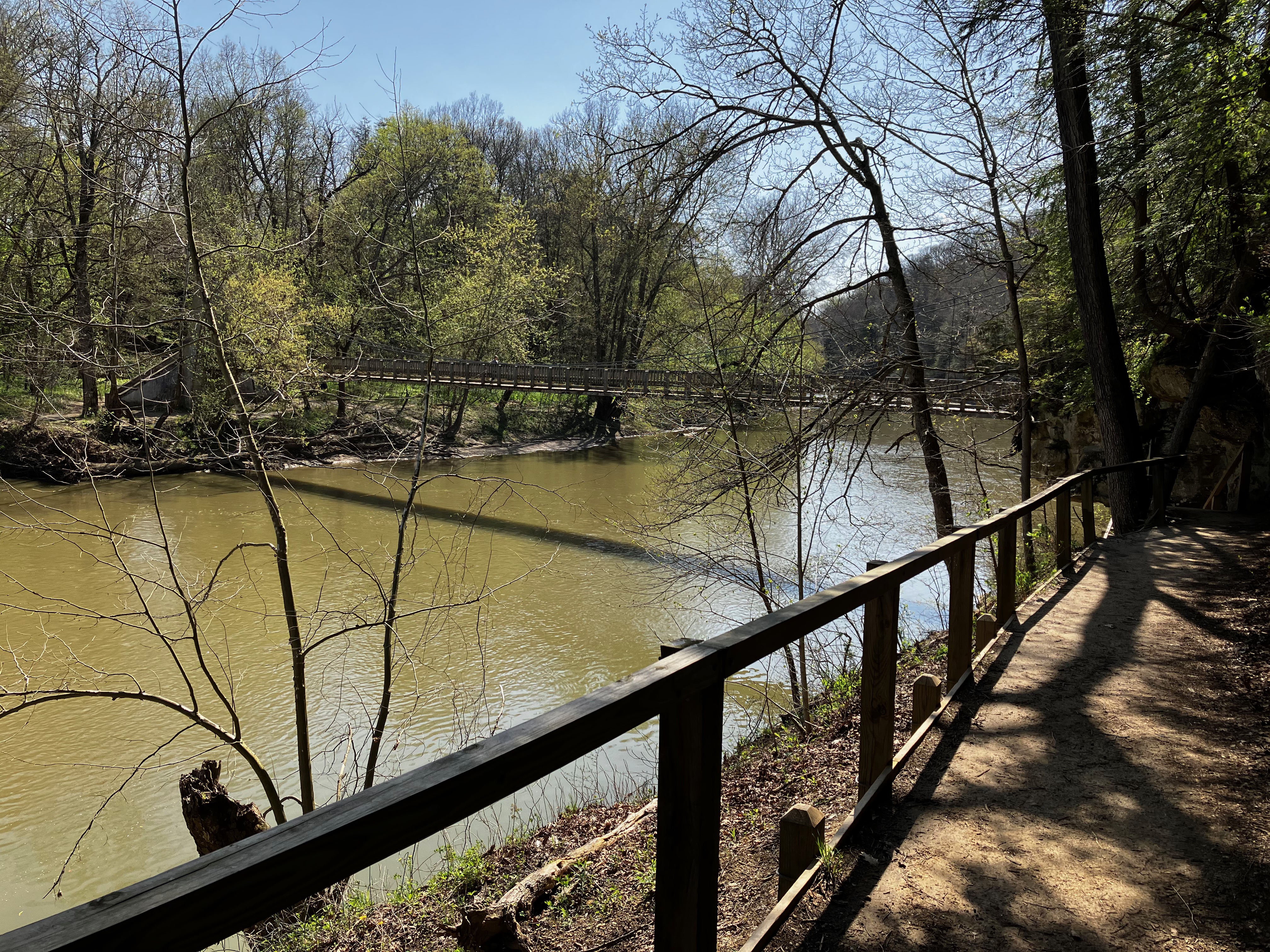
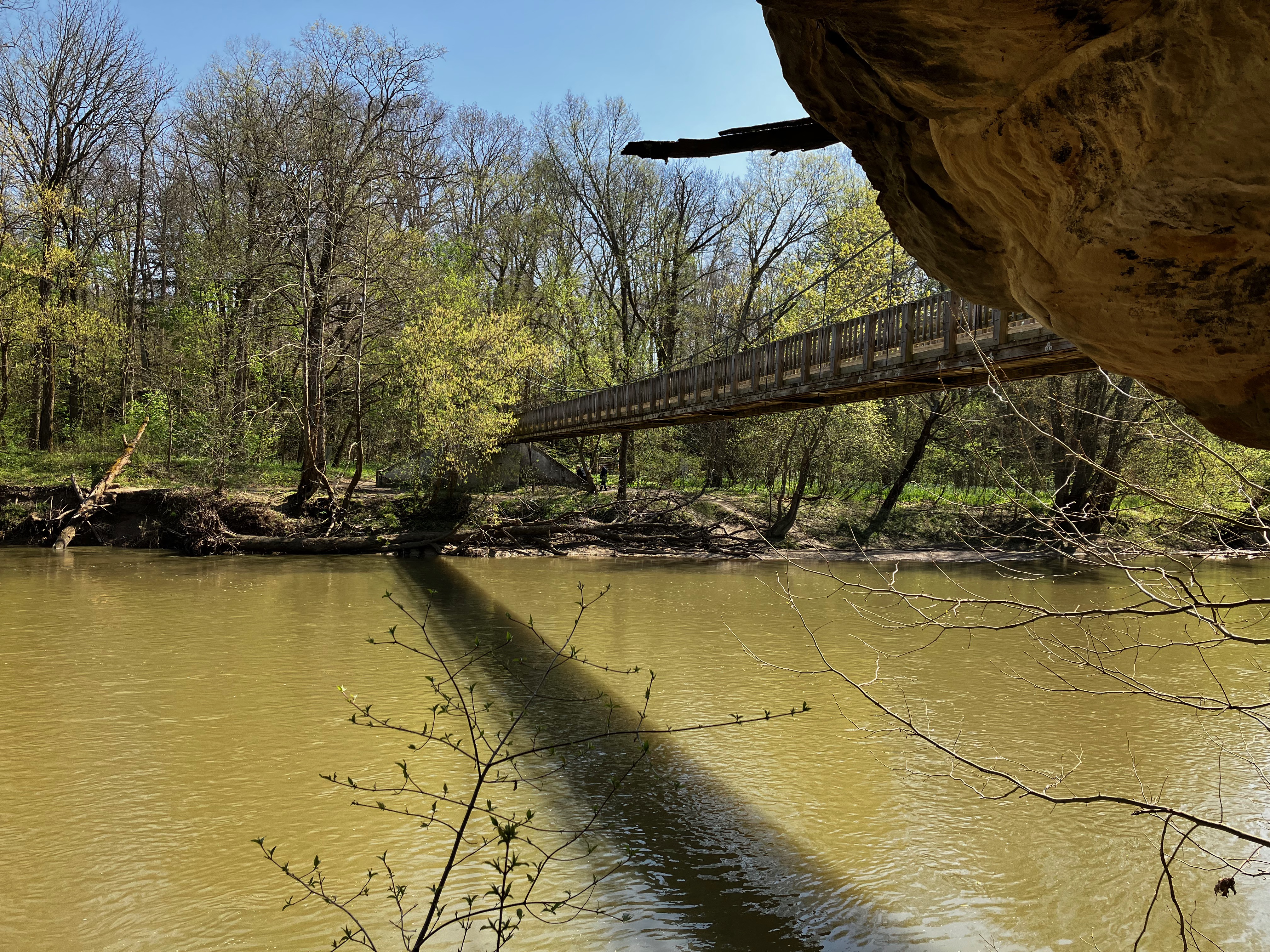
The Devils Kitchen Trail located just inside the East portal of the Colorado National Monument is perfect for getting started. I ended up hiking more then the 1.5 mile 311 ft vertical but that was because I was a bit rusty at using my hiking app. But this trail is doable by most anyone who can walk and the beauty offered the inspiration I needed. This hike starts from the Devil’s Kitchen Trailhead which serves the 4 hikes listed on the sign.
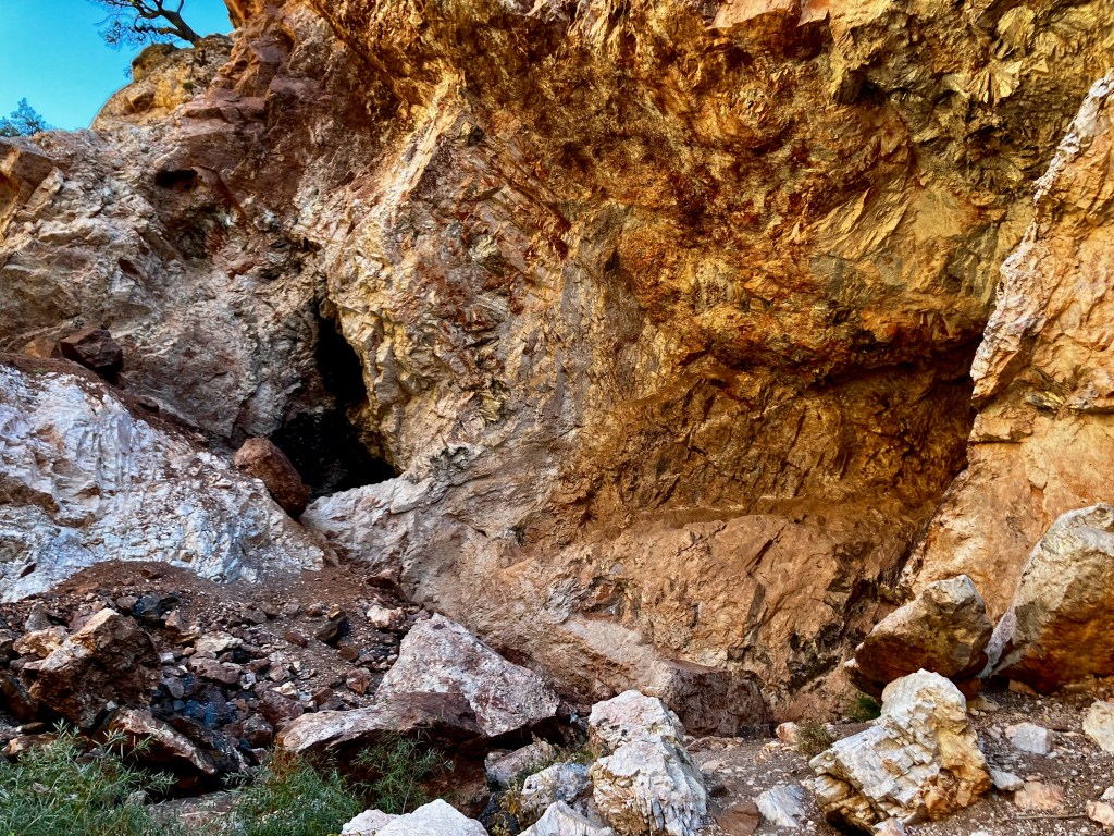
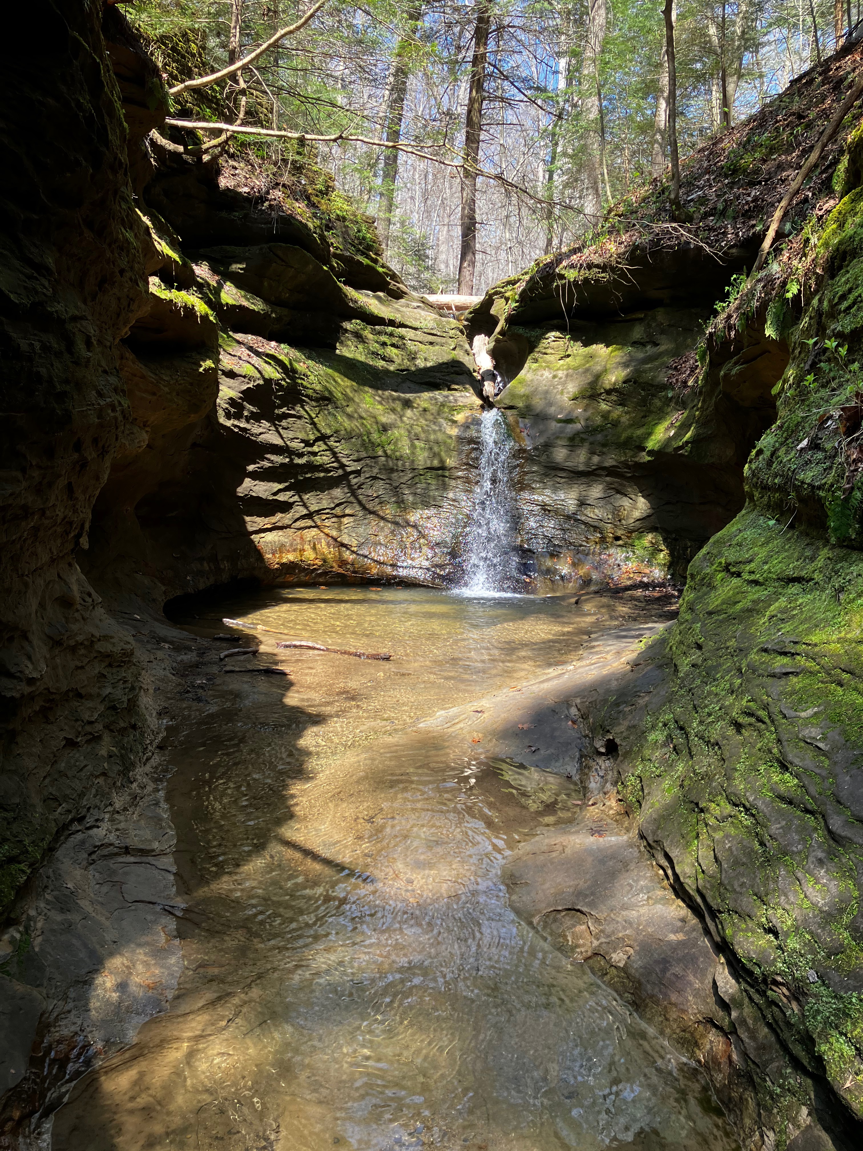
Echo Canyon Trail, 2.4 mile 500′ vertical
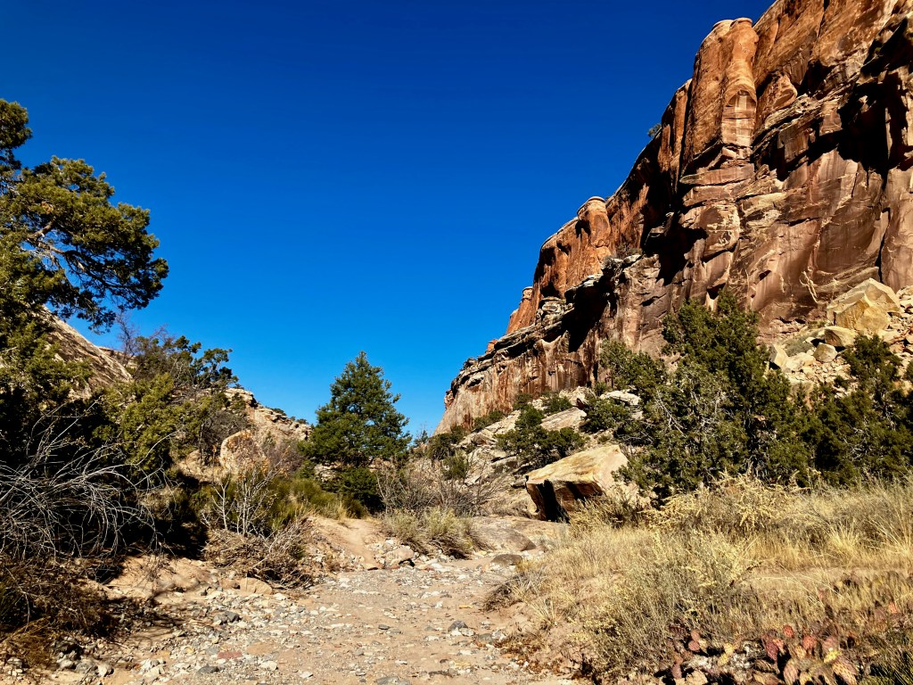
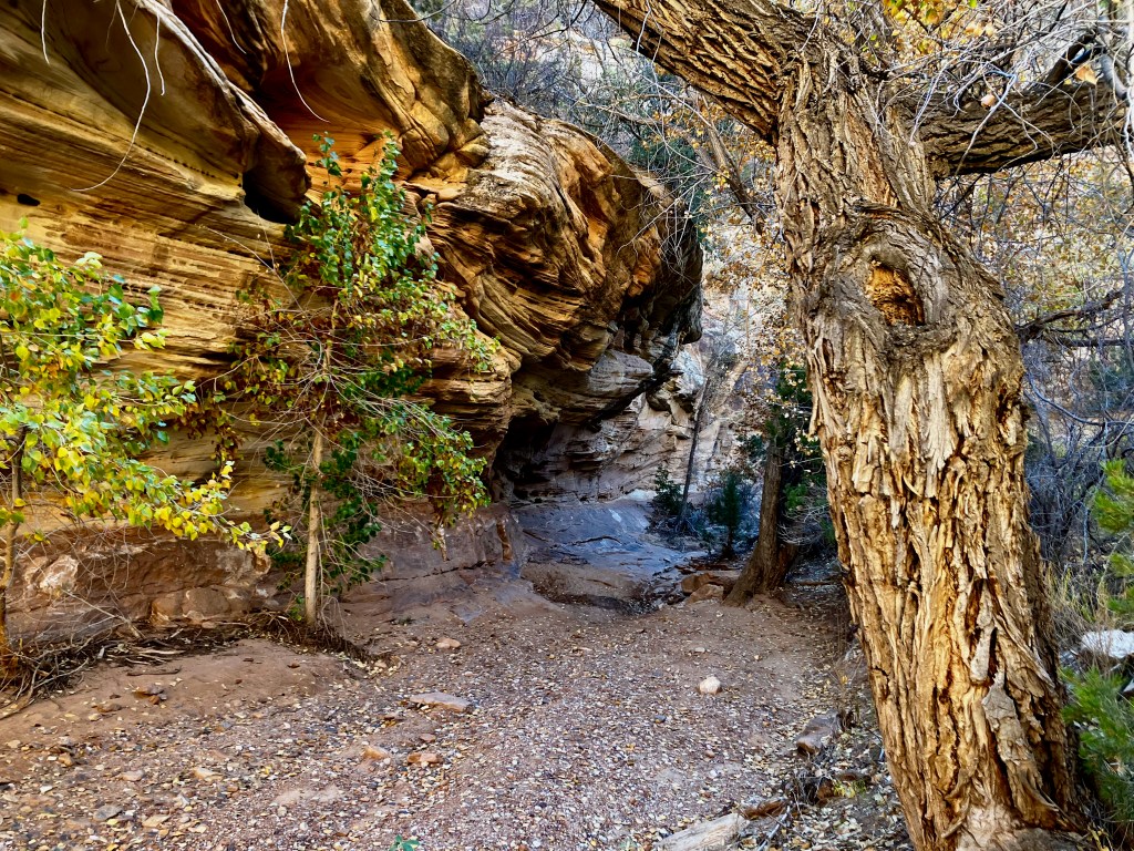
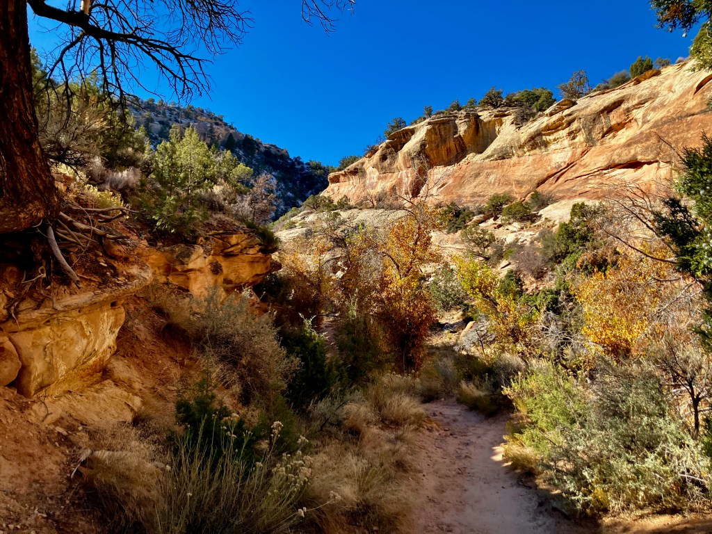
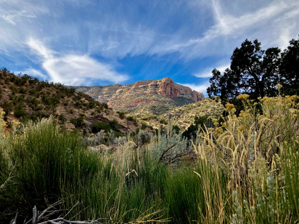
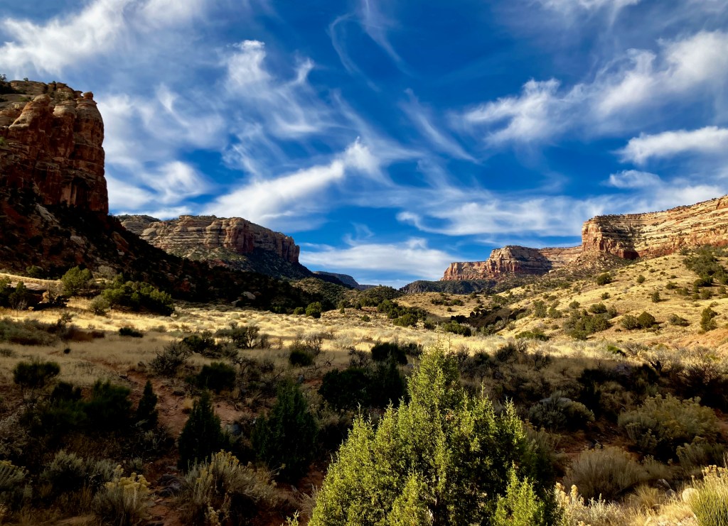
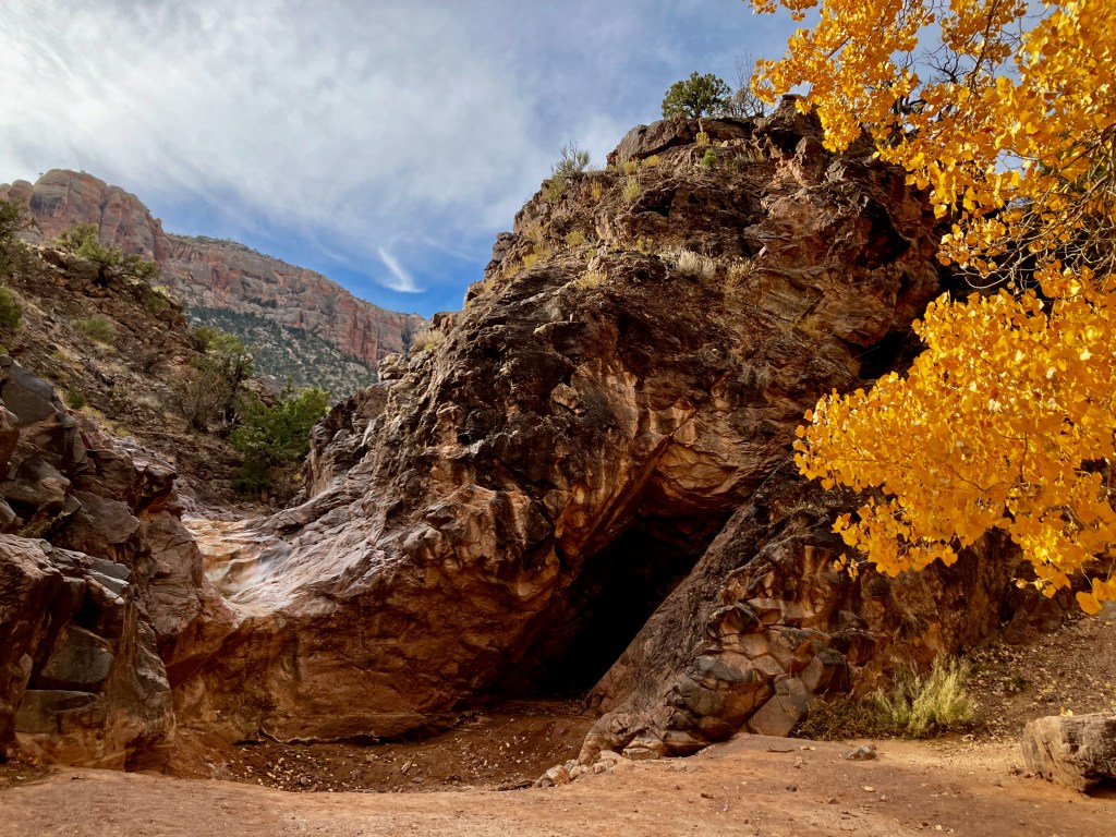
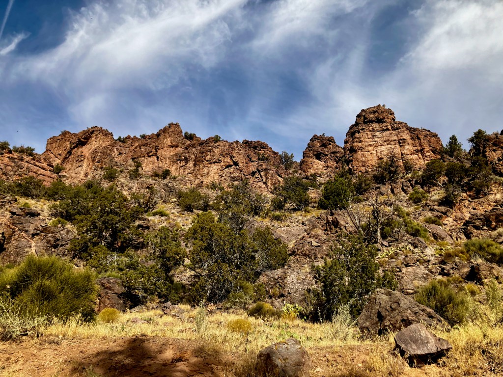
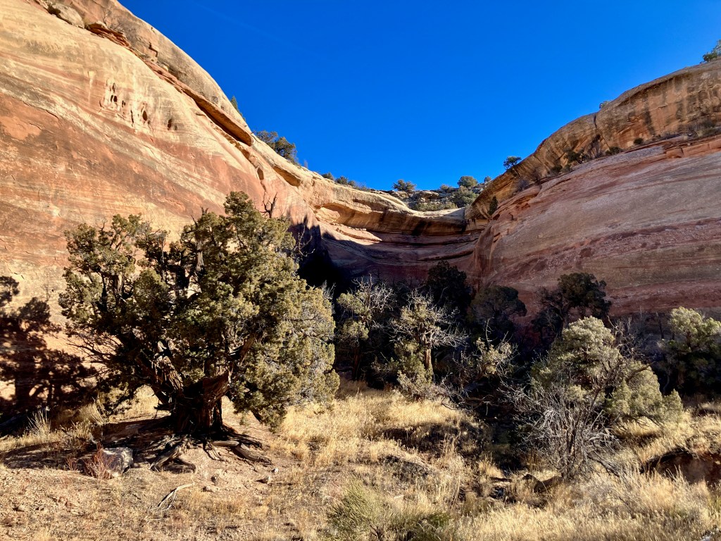
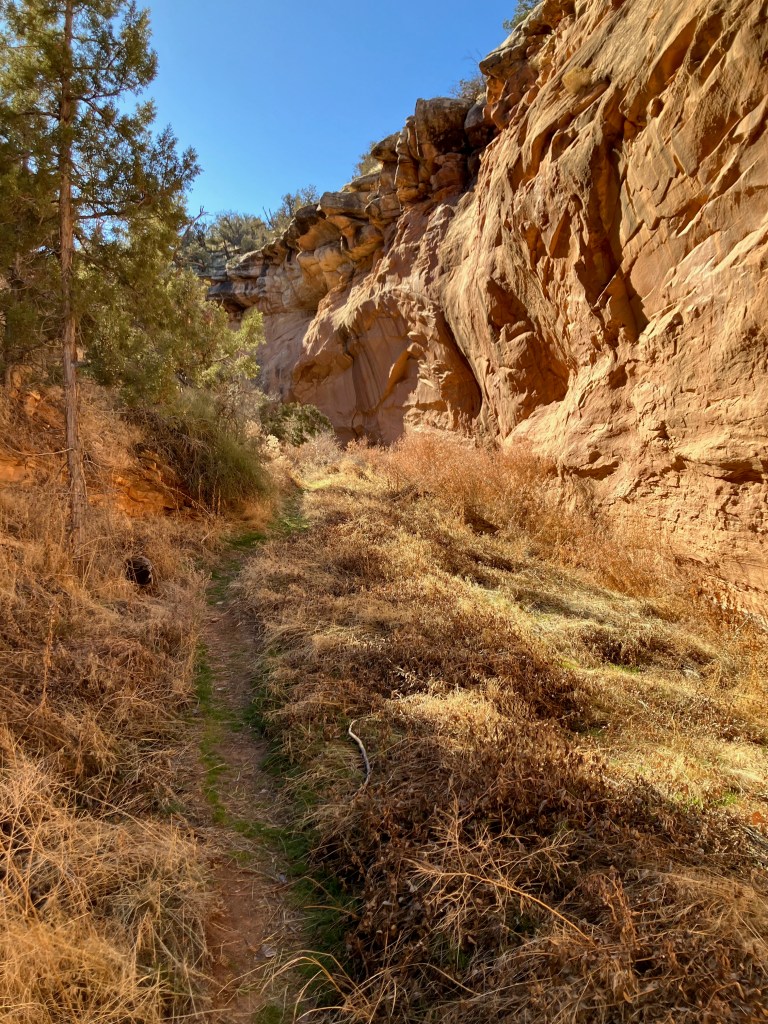
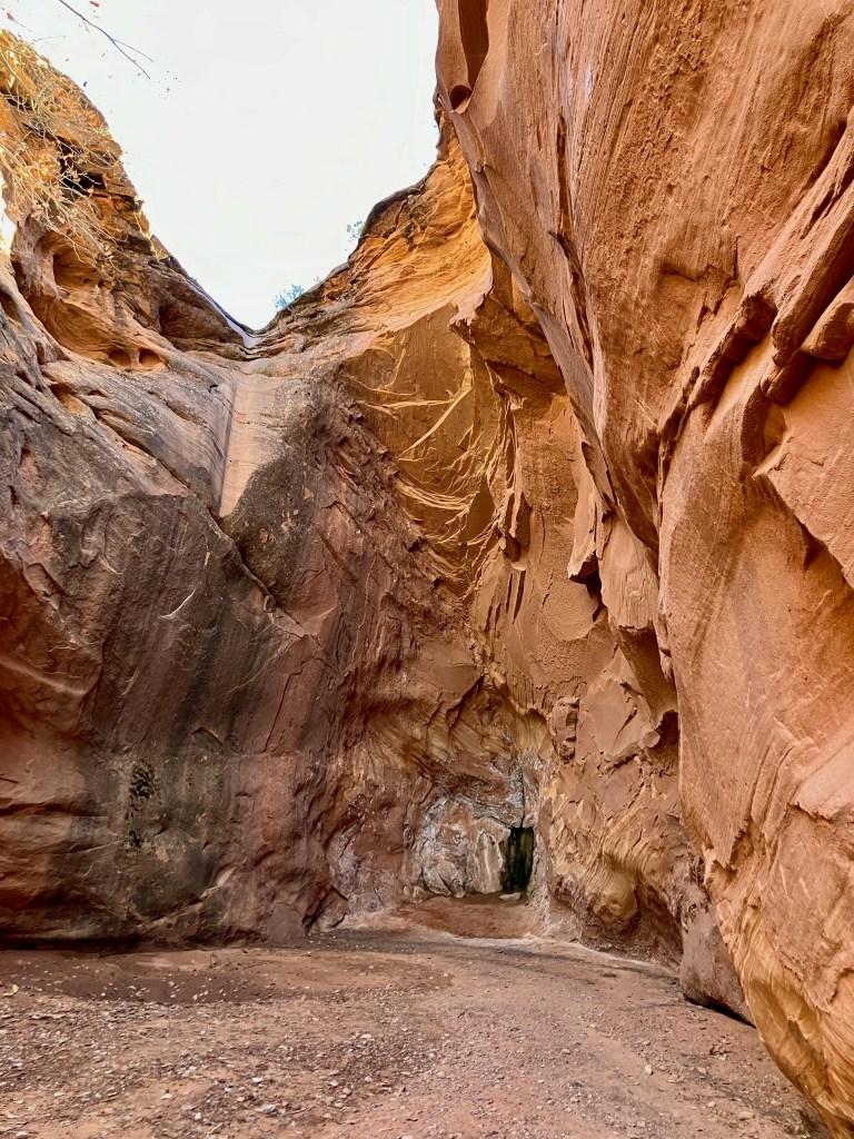
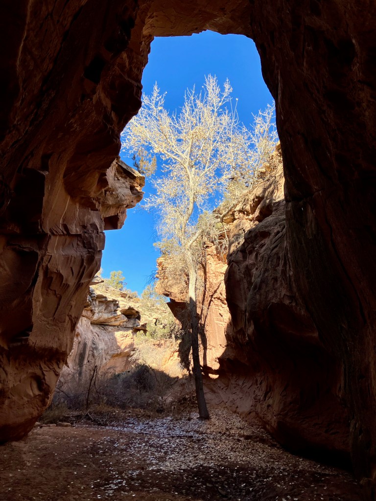
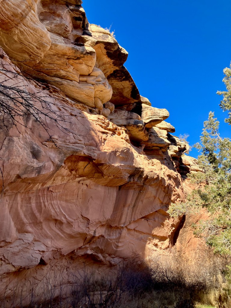
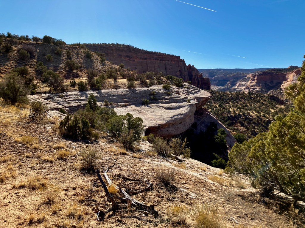
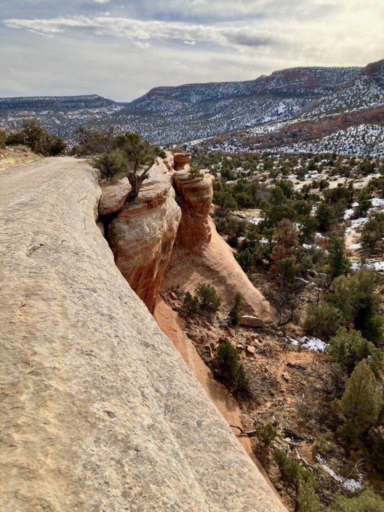
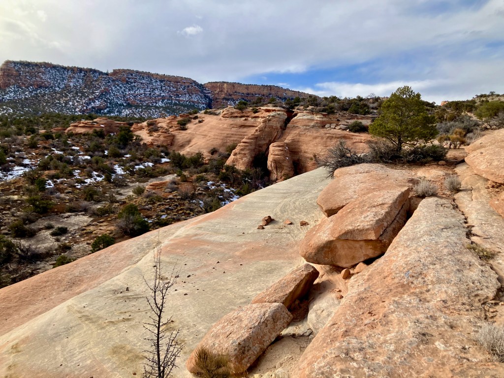
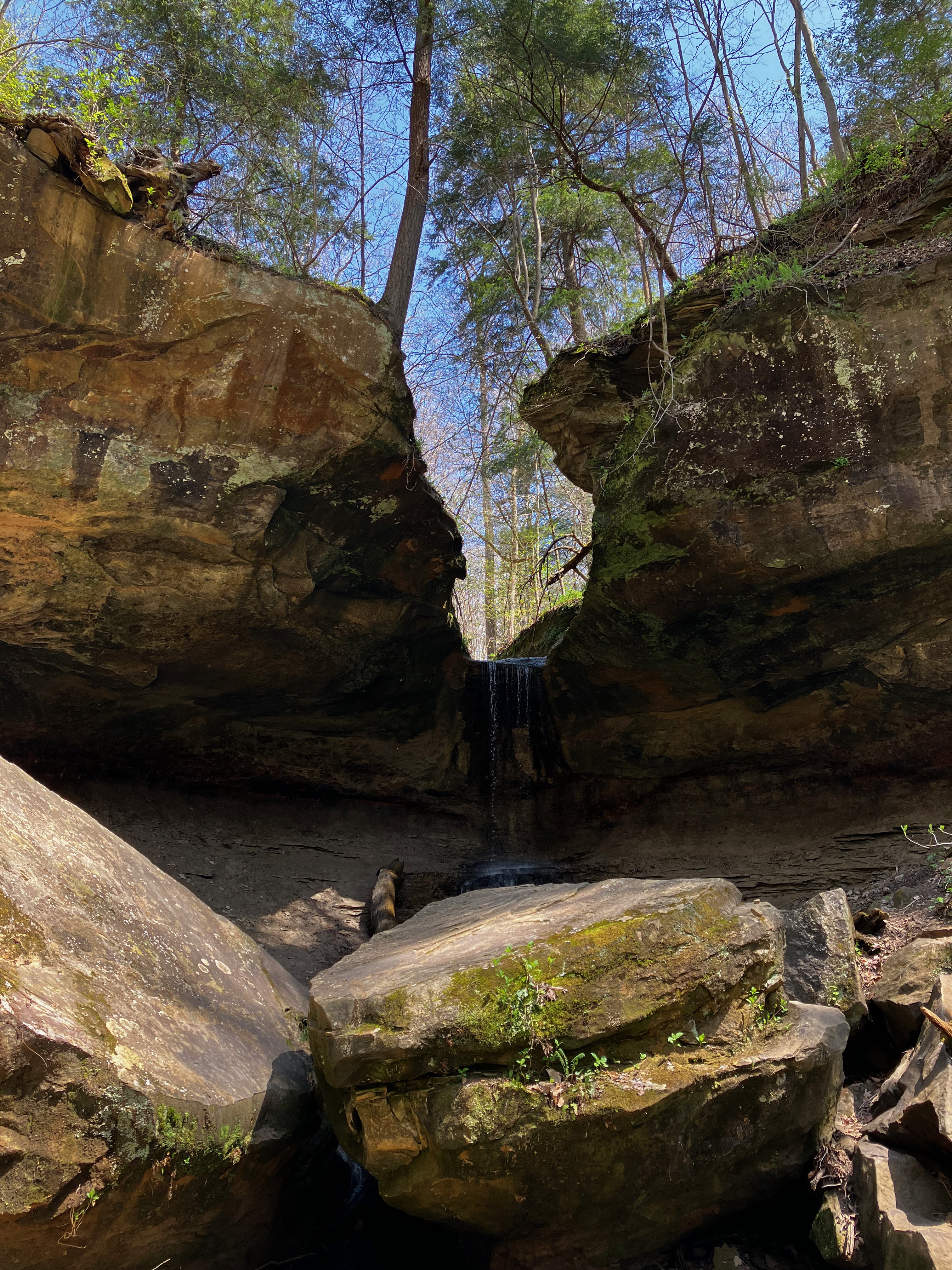
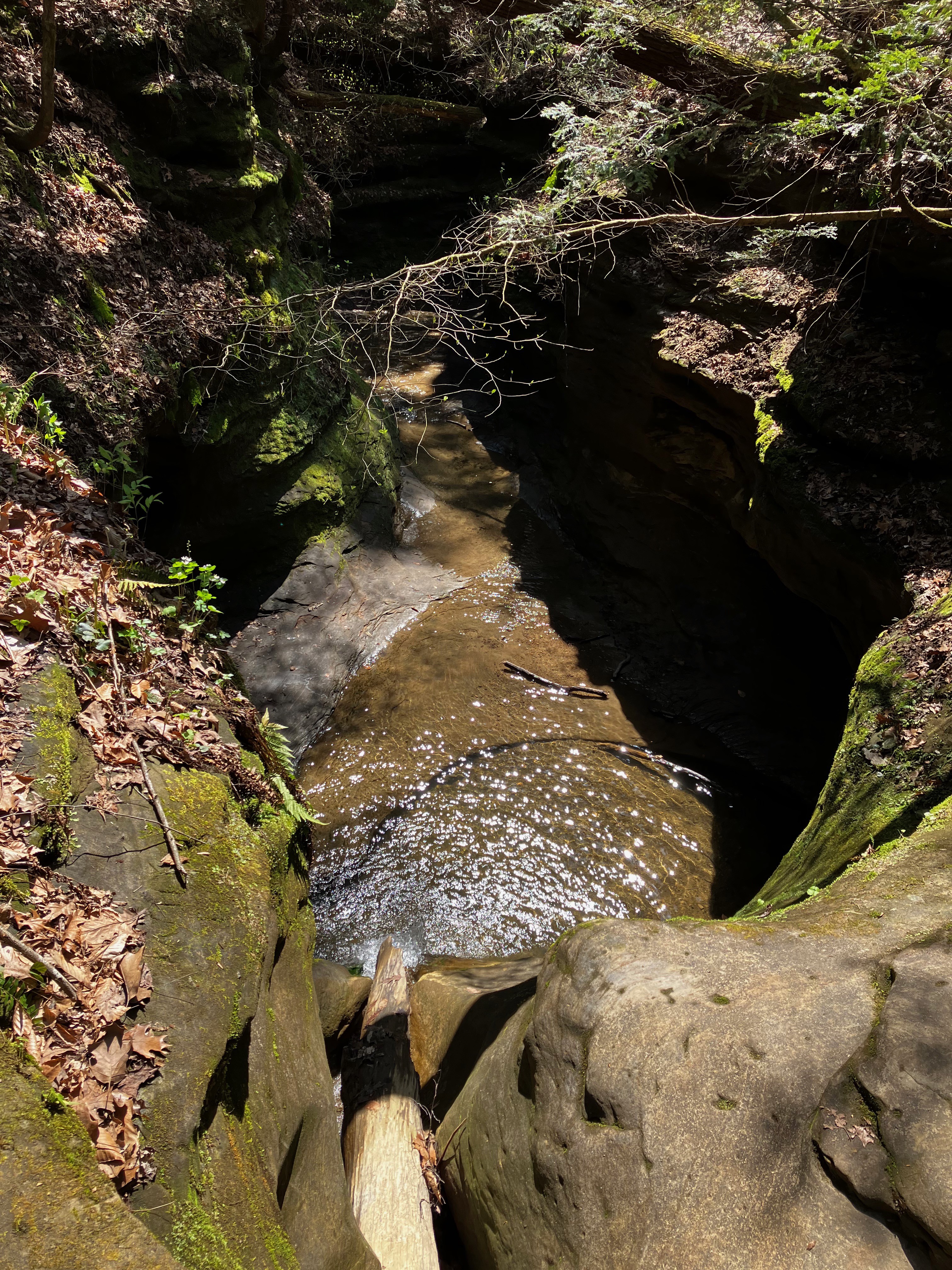
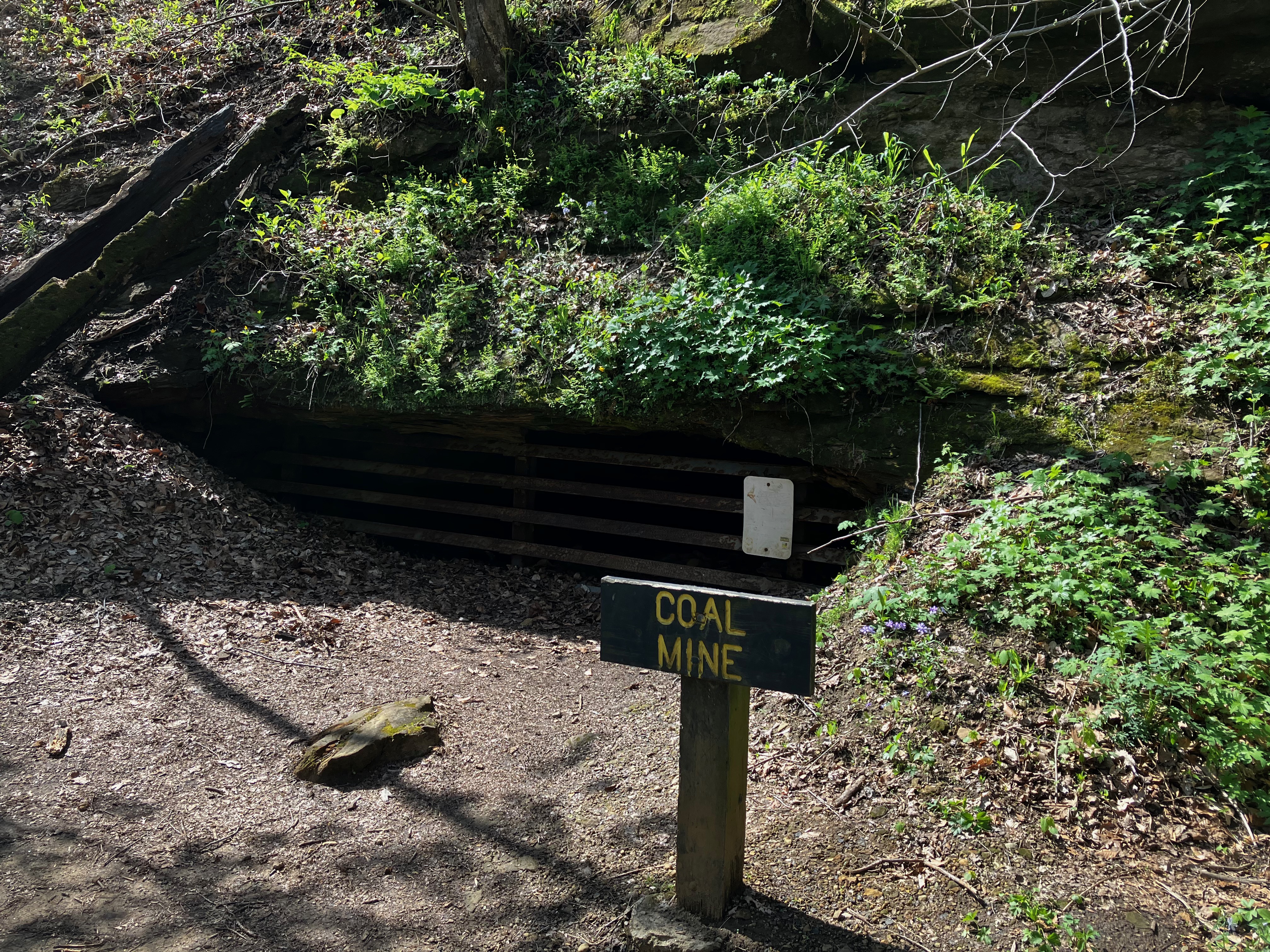
The Echo Canyon Trail in the Colorado National Monument is a moderately challenging 2.4 mile hike into what is truly an echo canyon. The waterfall is probably dry most of the year but the canyon and water spout is beautiful. This hike starts from the Devil’s Kitchen Trailhead which serves 4 hikes.
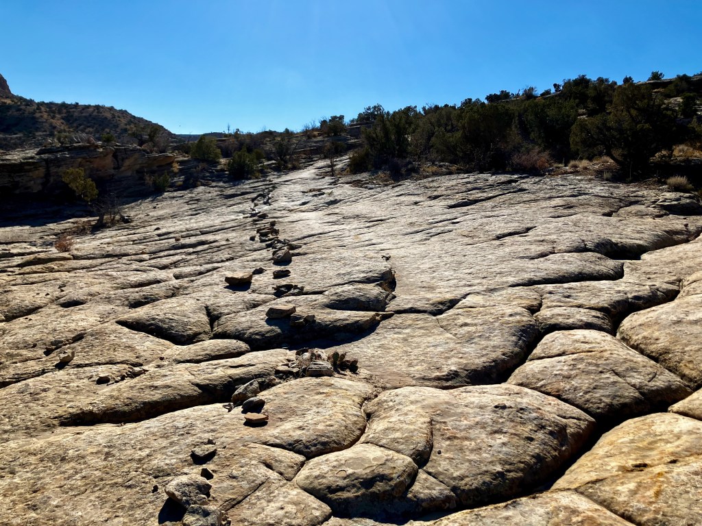

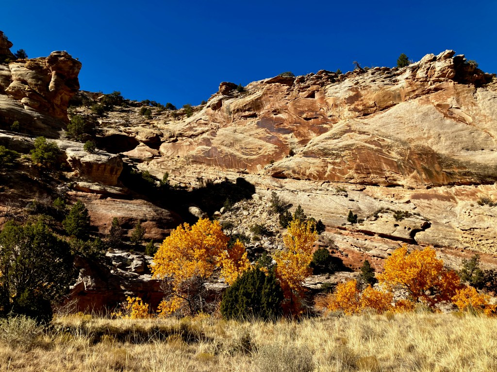
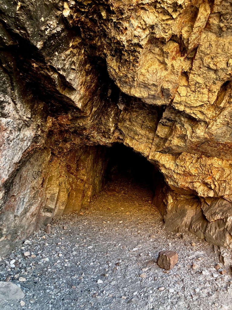
The echo canyon is the end of the trail and then you return. There are some minor boulder climbs of about 2 or 3 feet but not too difficult. There is a mining cave in the side wall, but it does not look like it was ever seriously used.
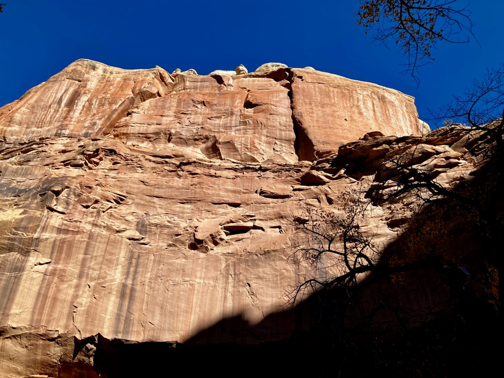
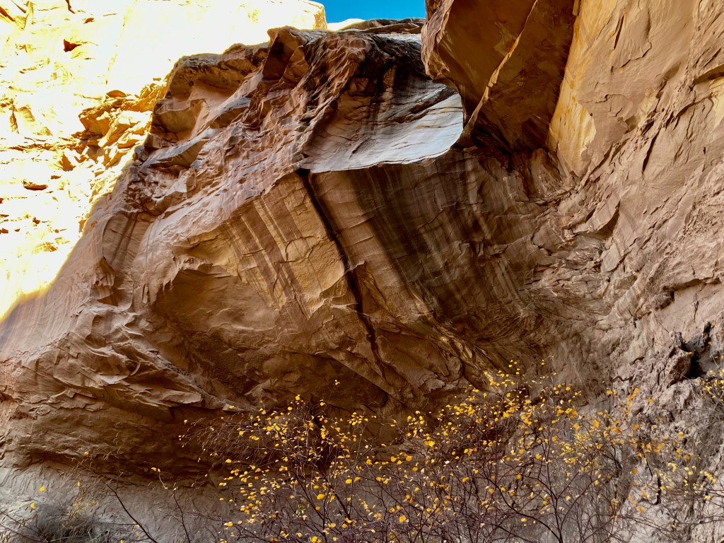
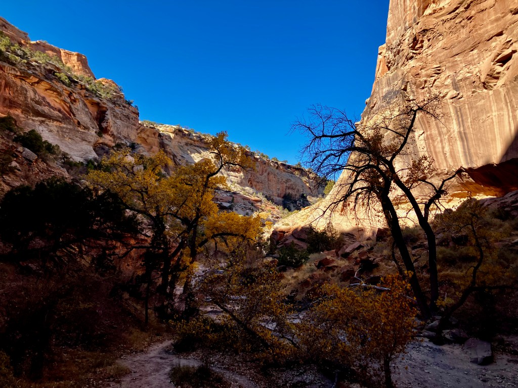
The hike back to the trailhead is just as beautiful. Overall this is a short hike with a lot of scenic value.
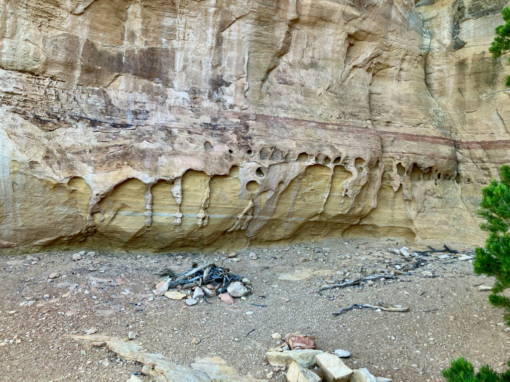
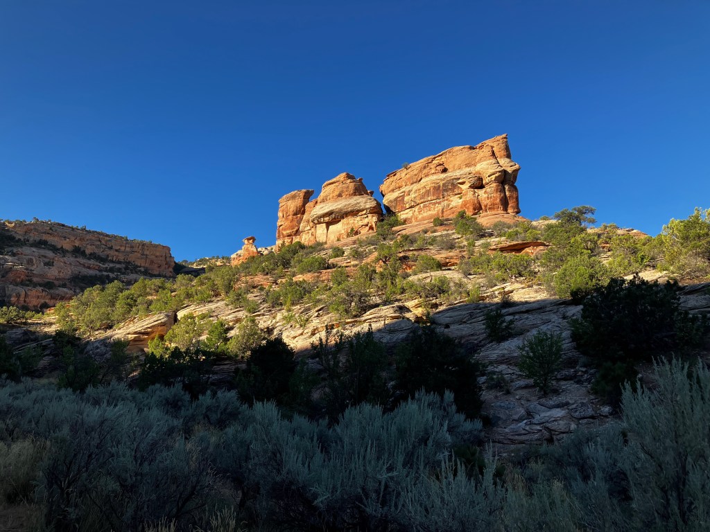
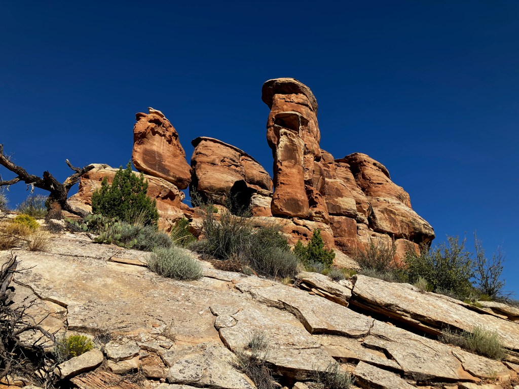
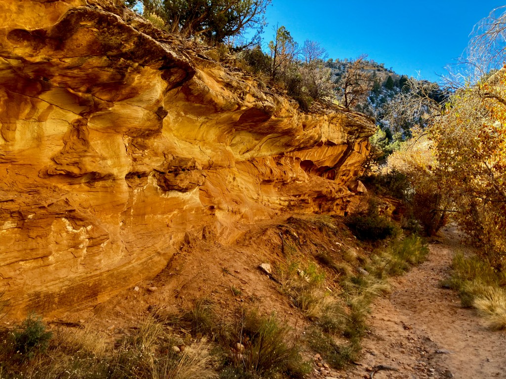
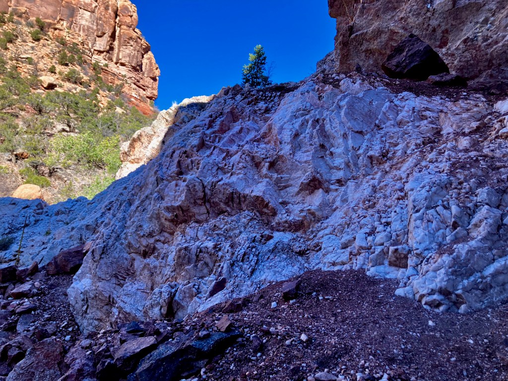
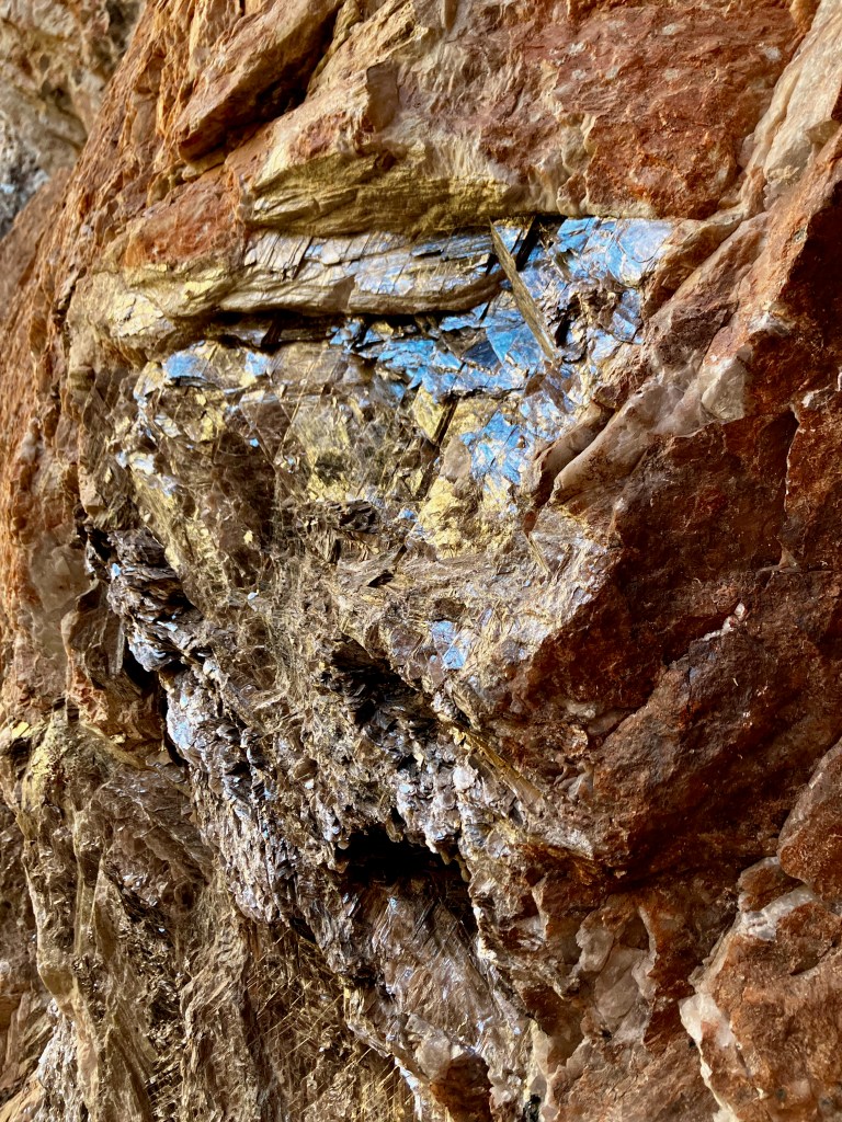
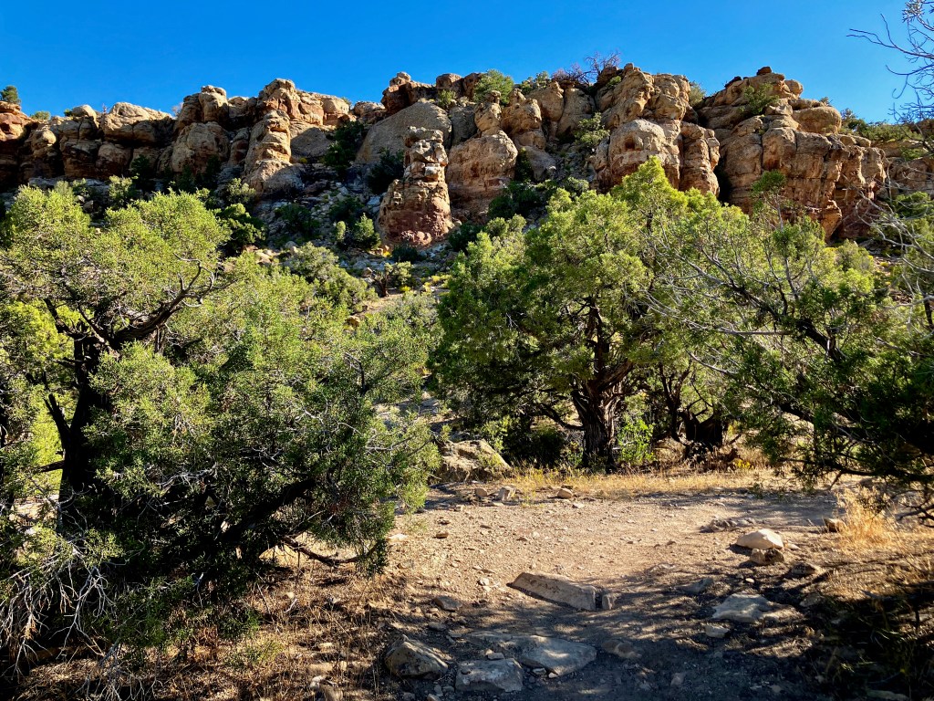
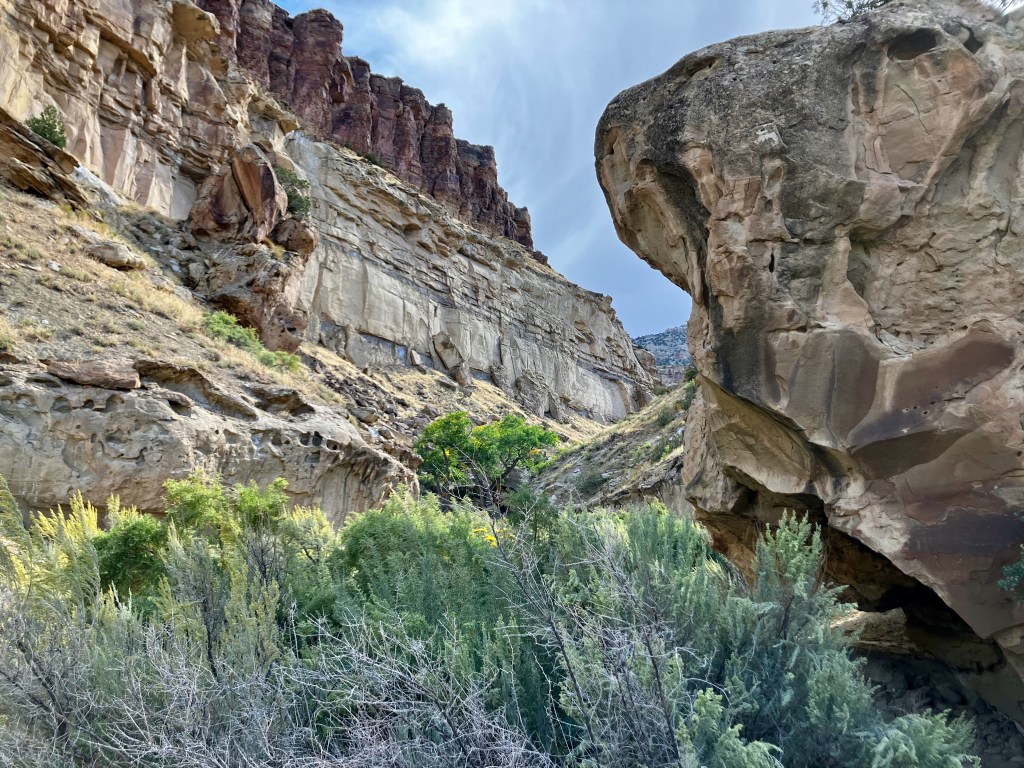
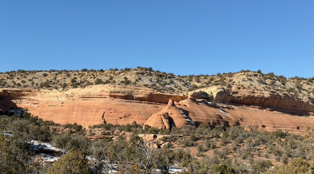
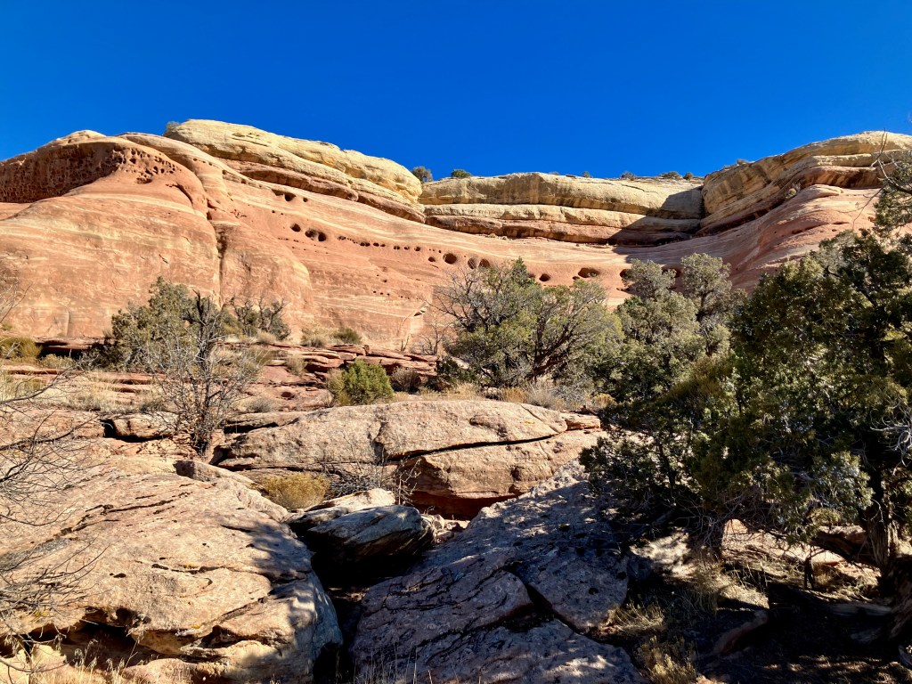
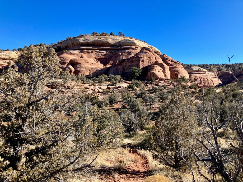
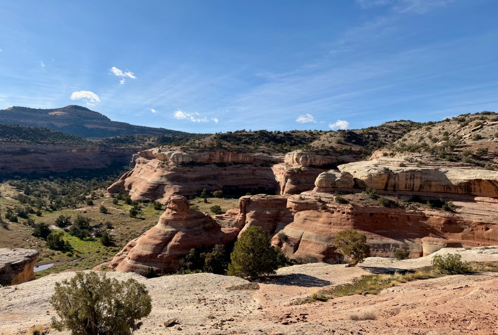
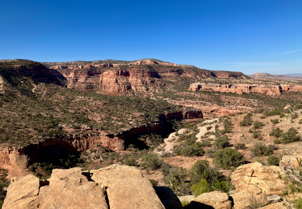
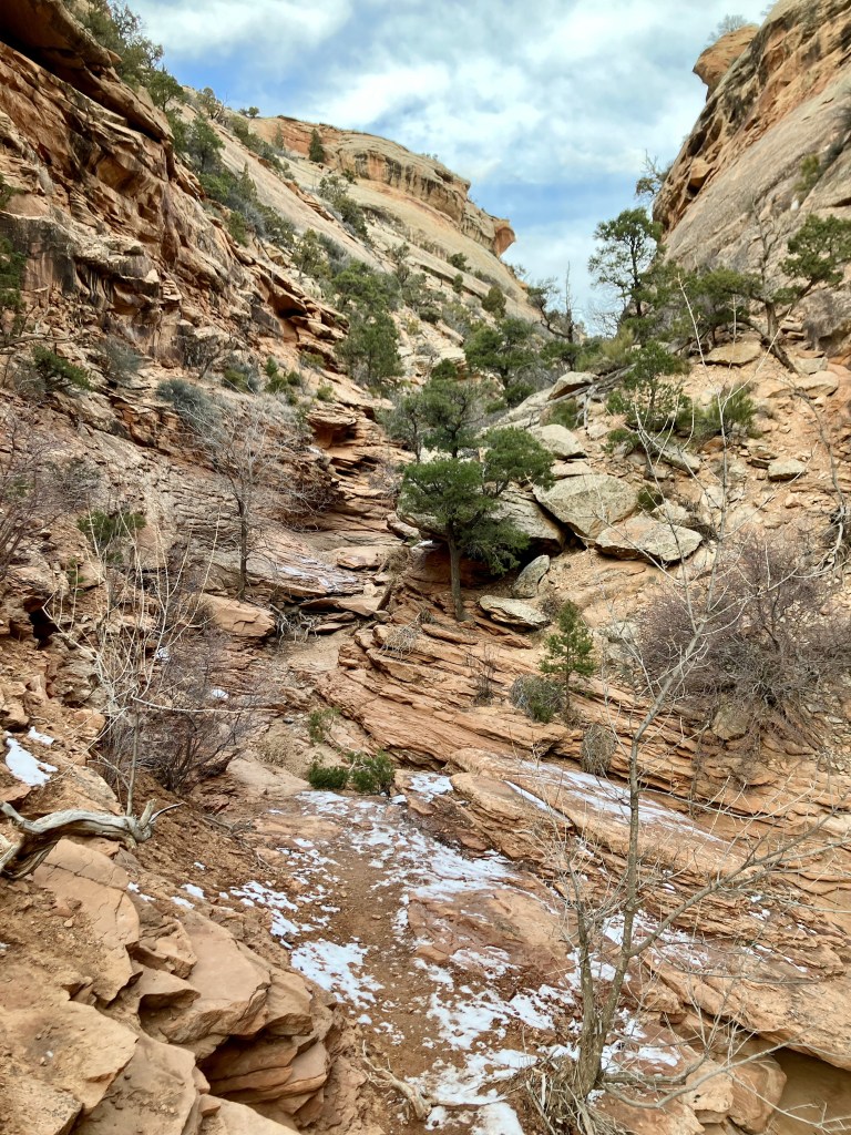
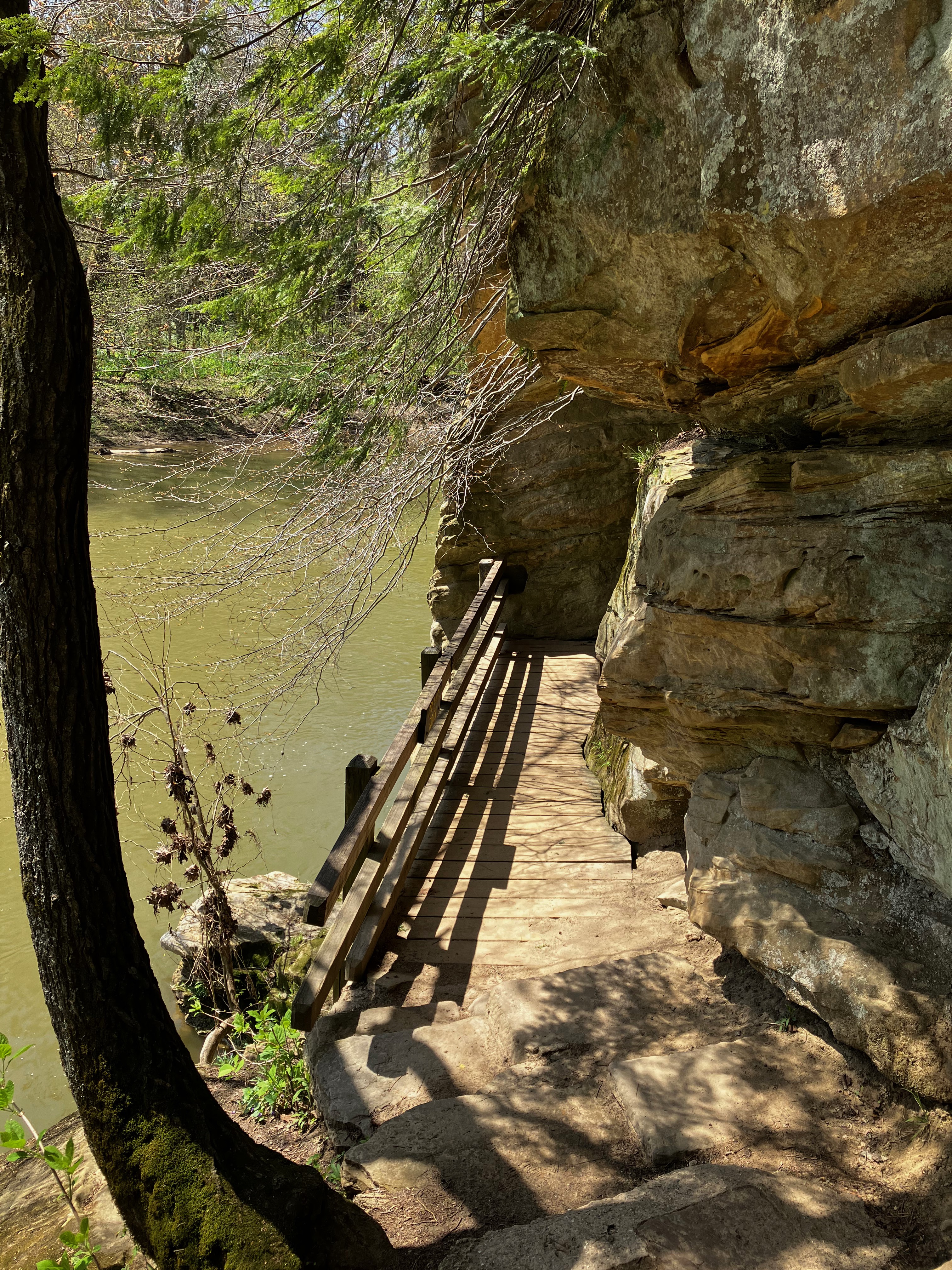
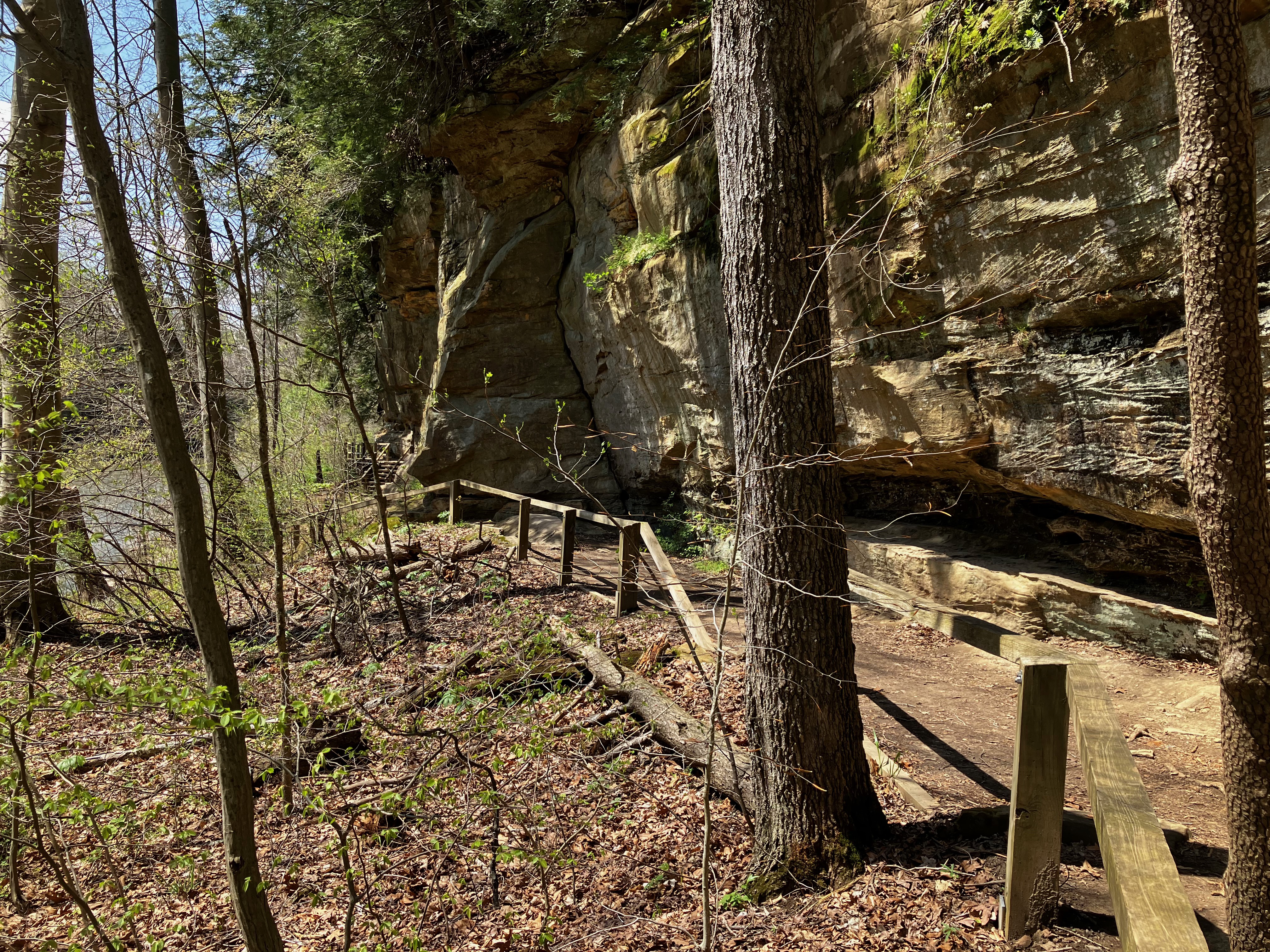
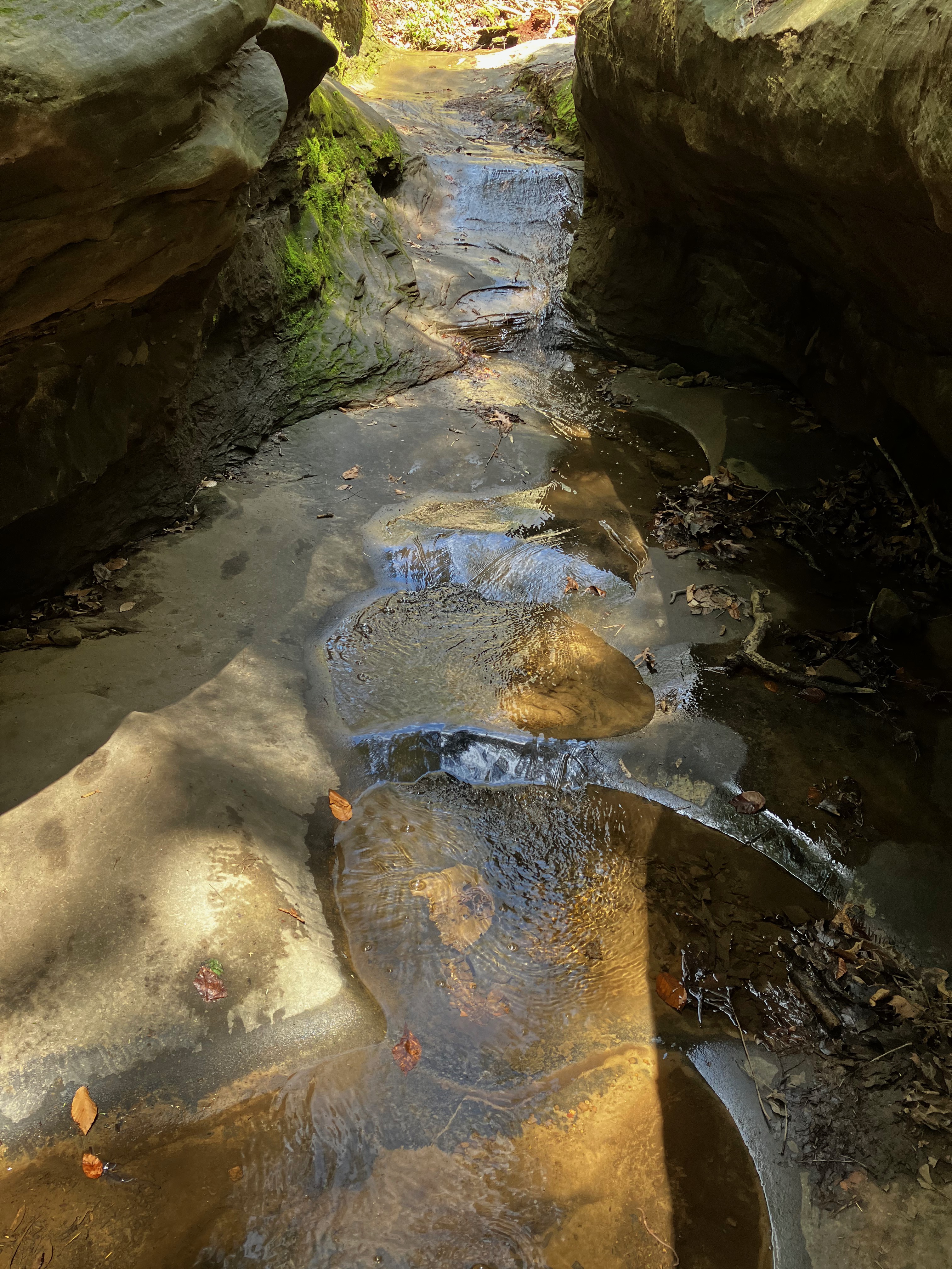
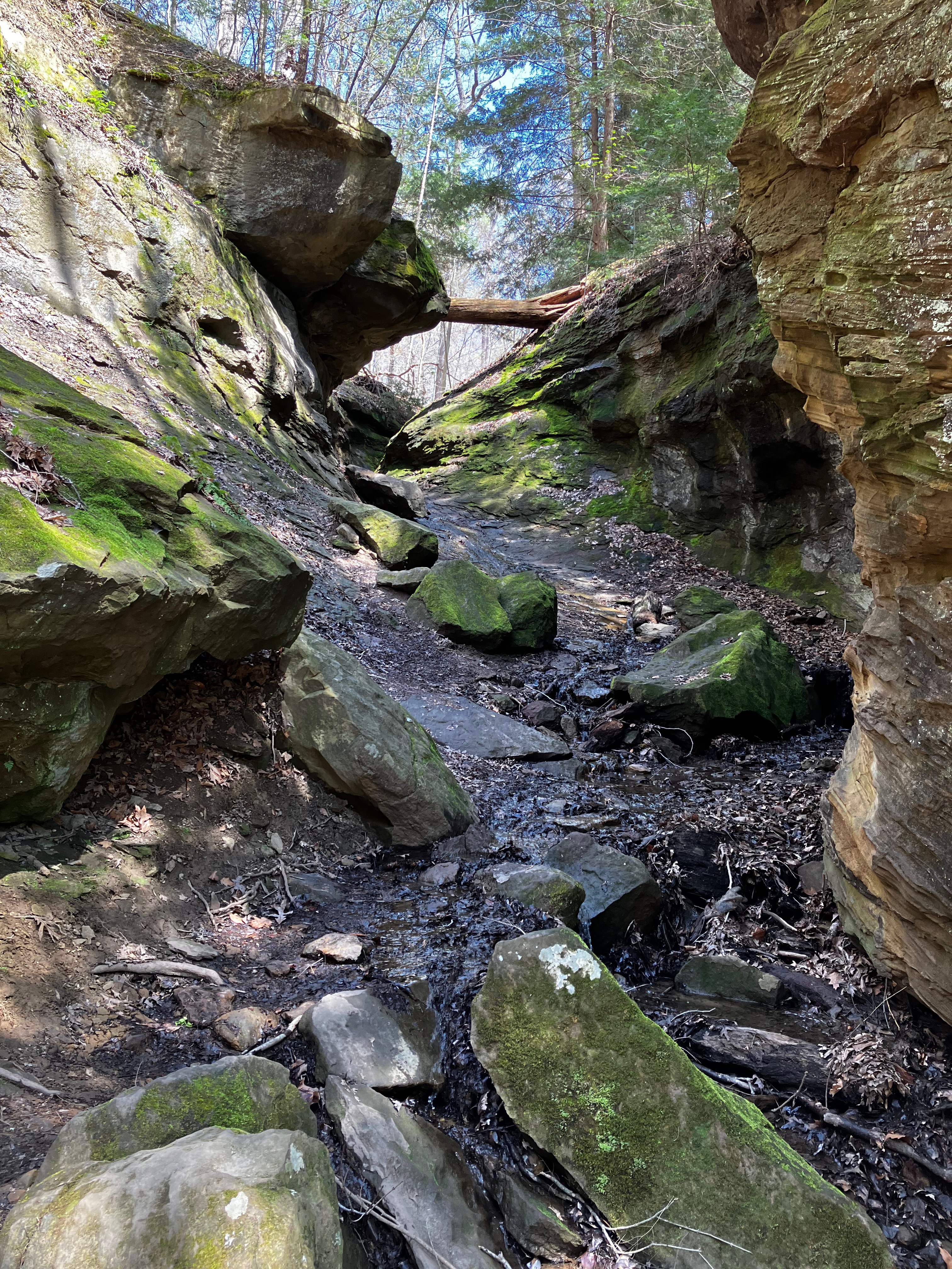
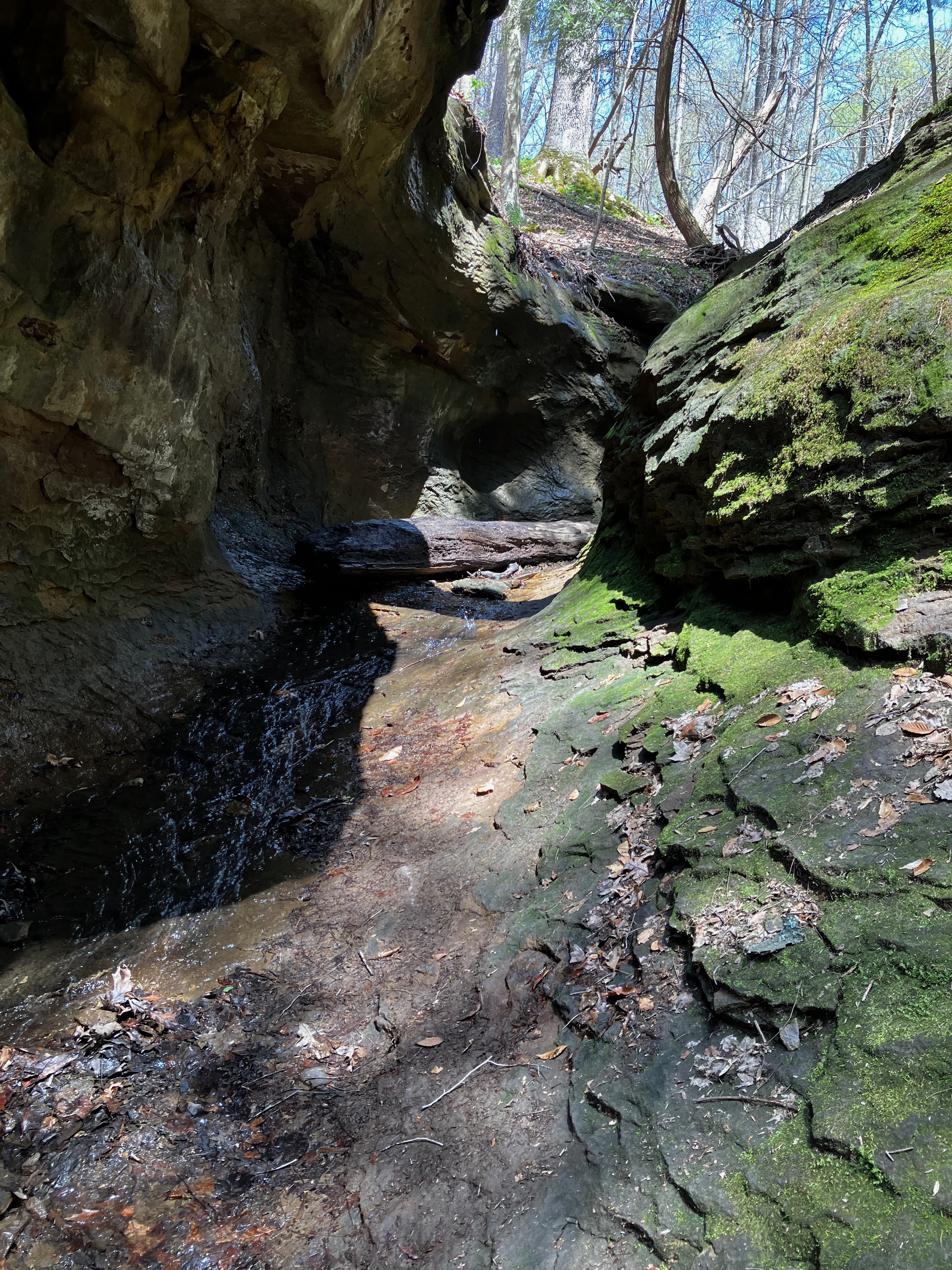
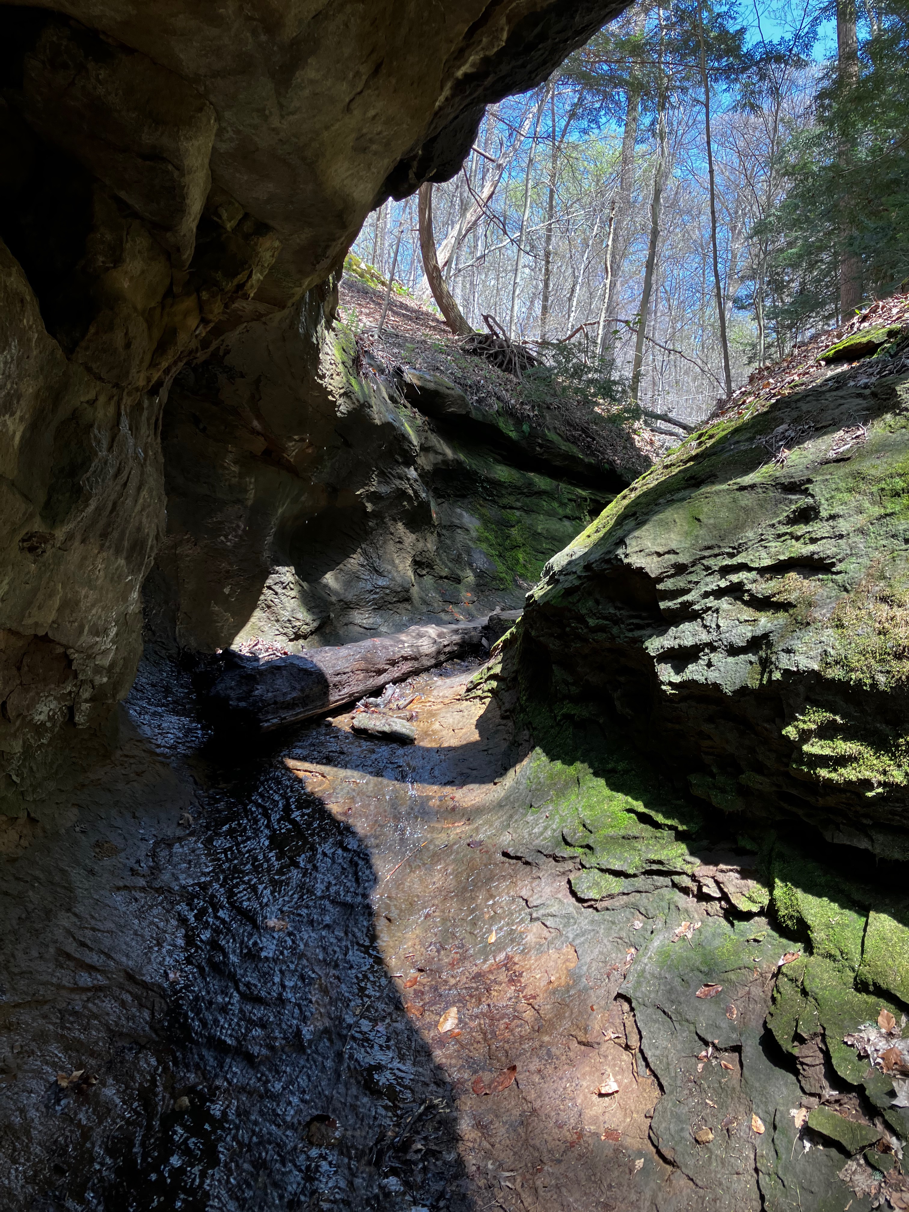
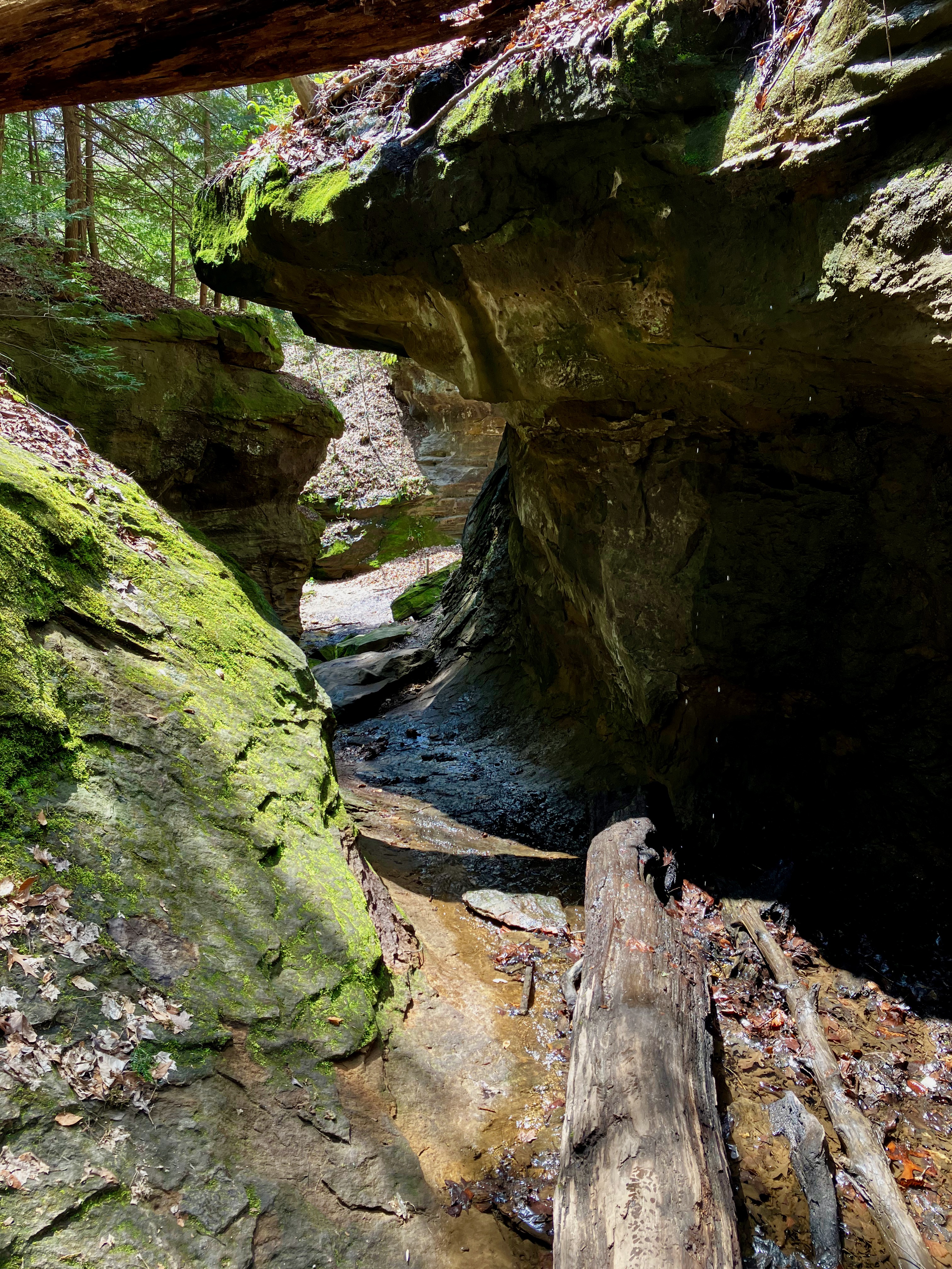
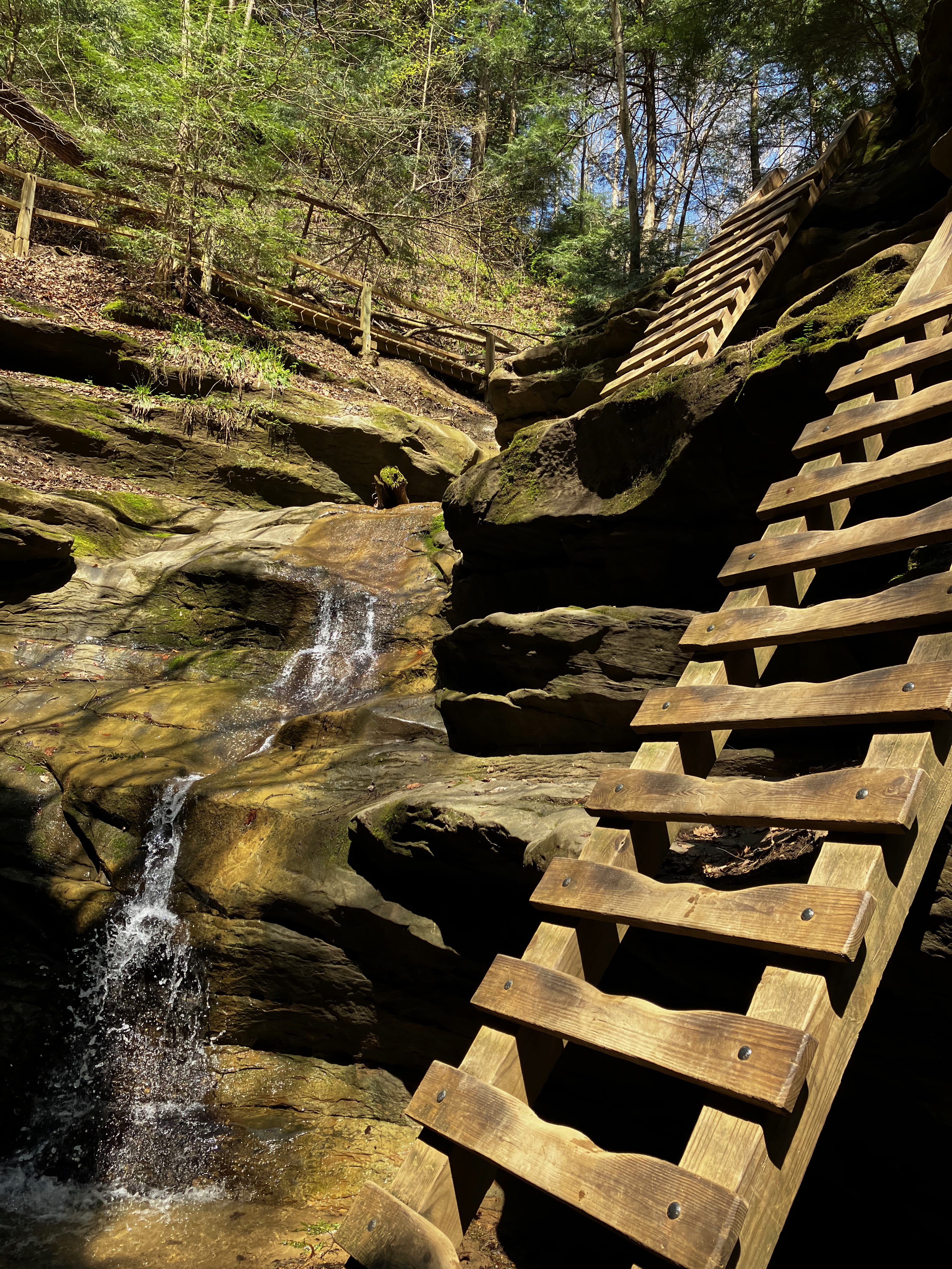
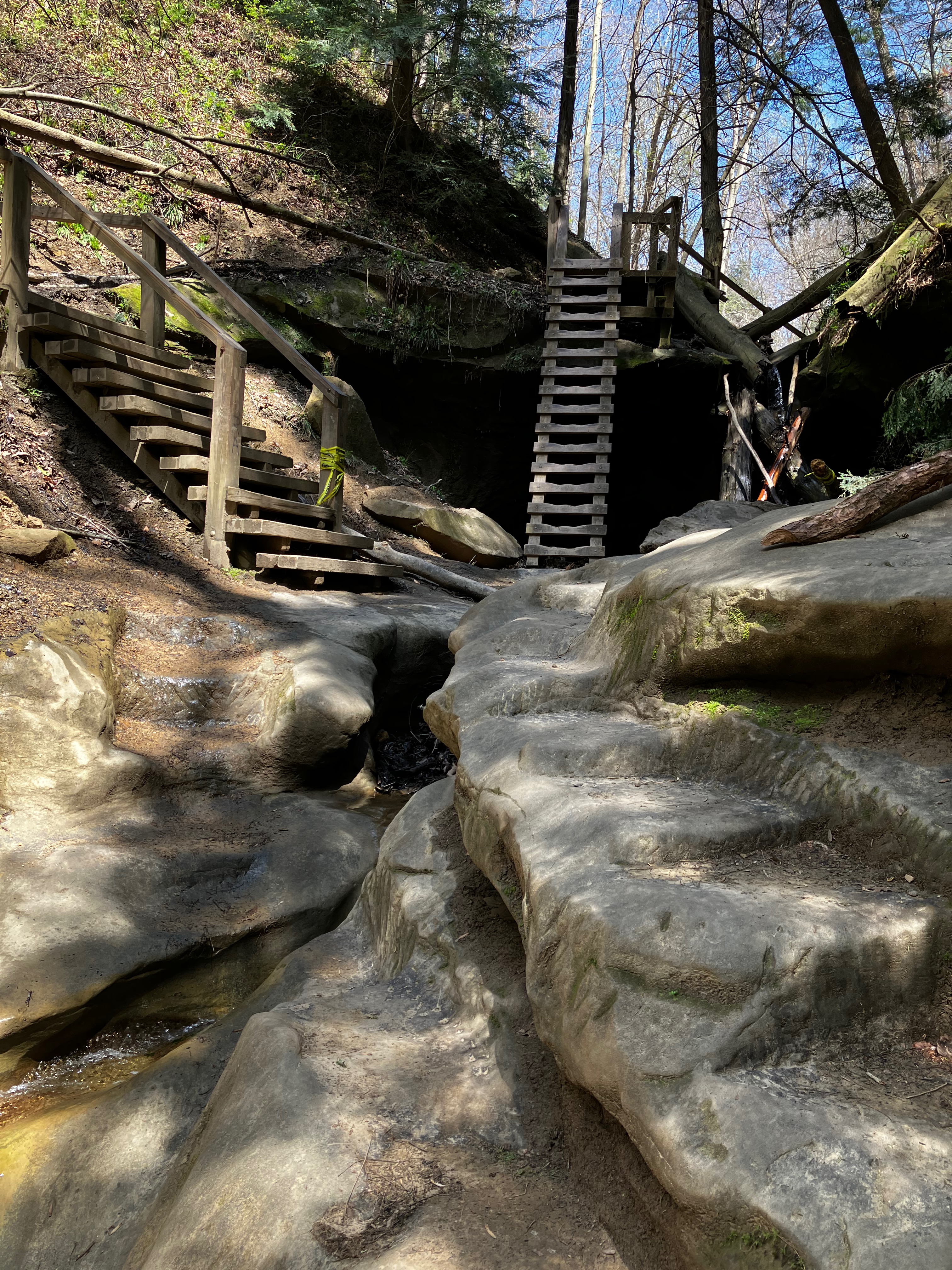
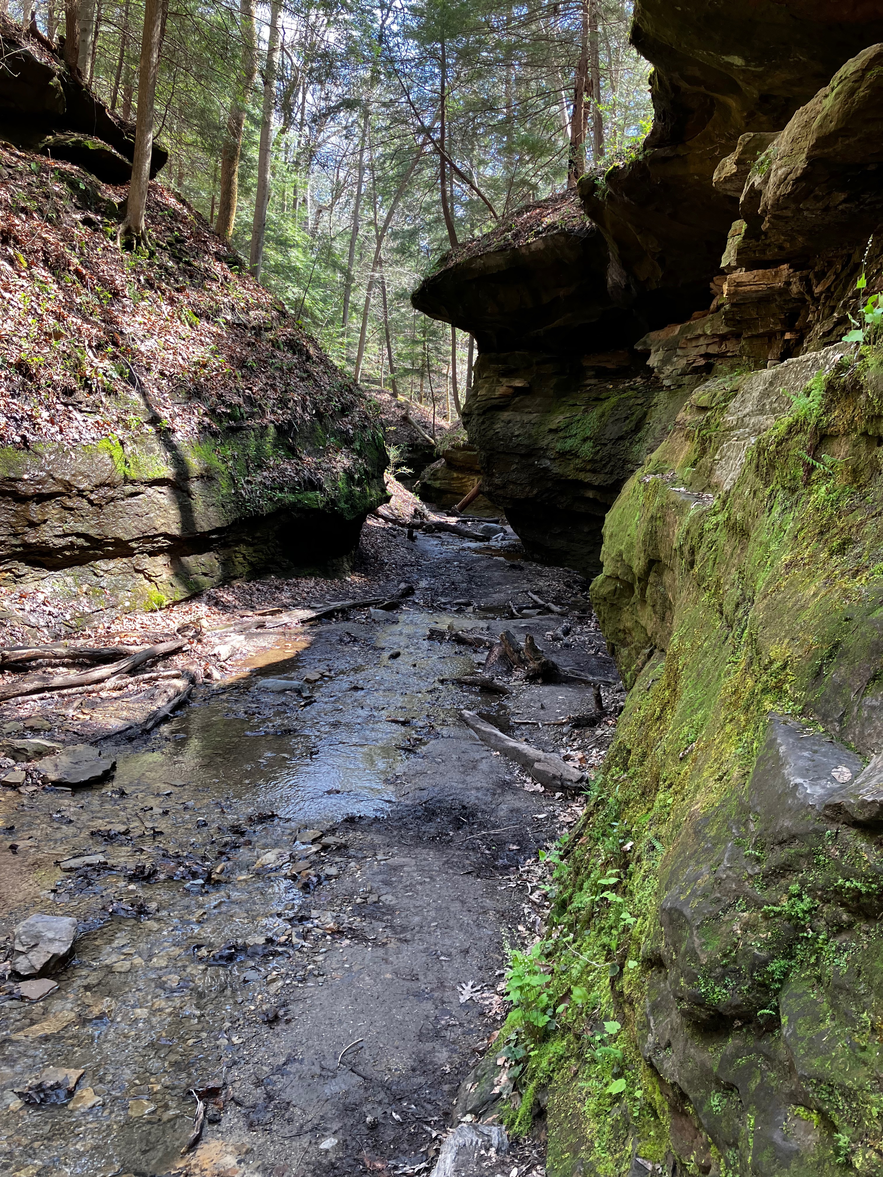
Mica Mine Trail, 2.6 mile 290′ vertical
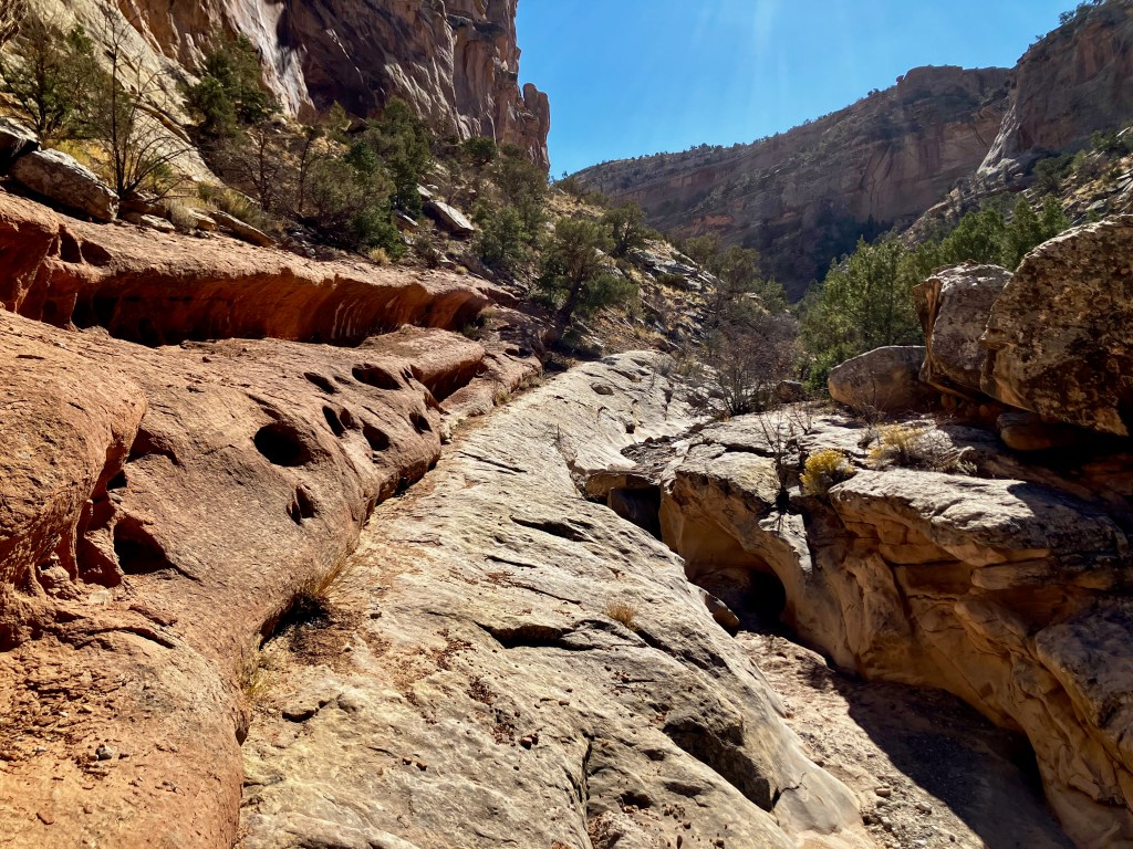
The Mica Mine Trail was a 2.6 mile pleasant surprise for shear beauty. The reviews talk about the incredible rock formations which are totally confirmed. I was snapping photos all the way.

This is an easy hike, however, there are some high stepping in the beginning. You are basically hiking in a small stream canyon with very interesting rock formations, but what impressed me the most were colors & striations of the rock.
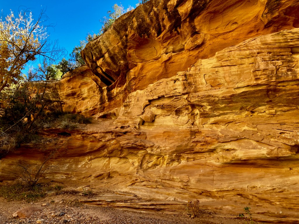
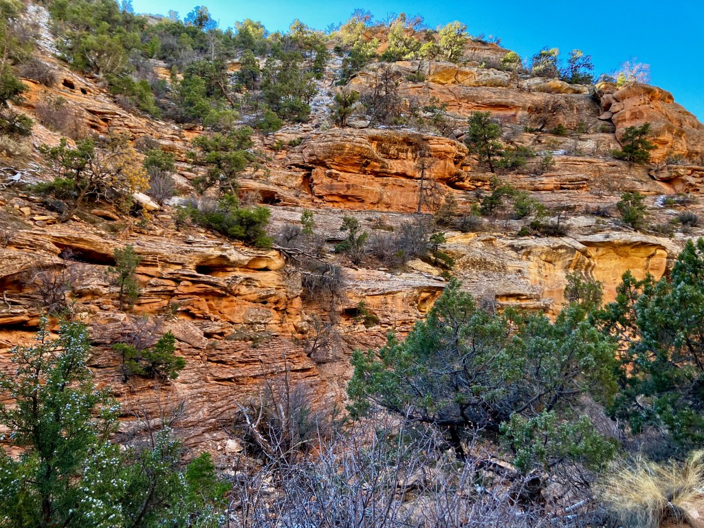
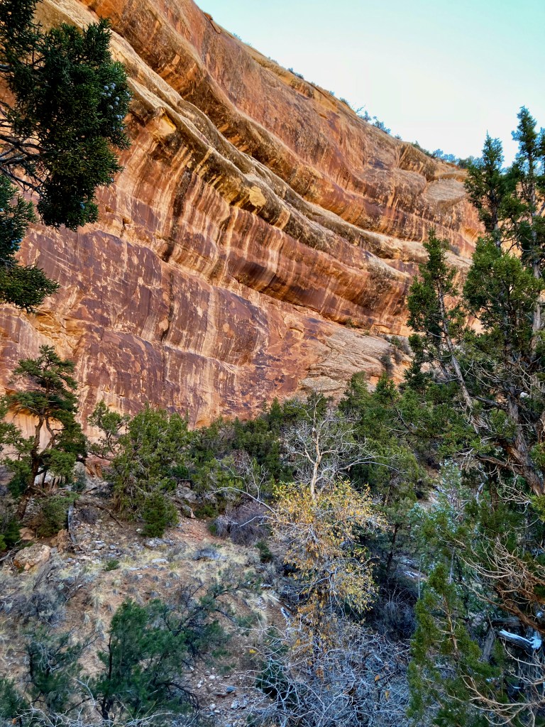
Of course the canyon rock formations grab your attention.
The added treat for this hike is the investigation of the old mica and quartz mine.

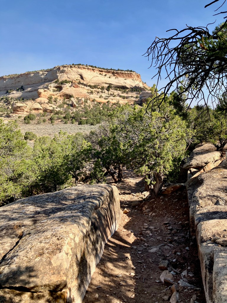
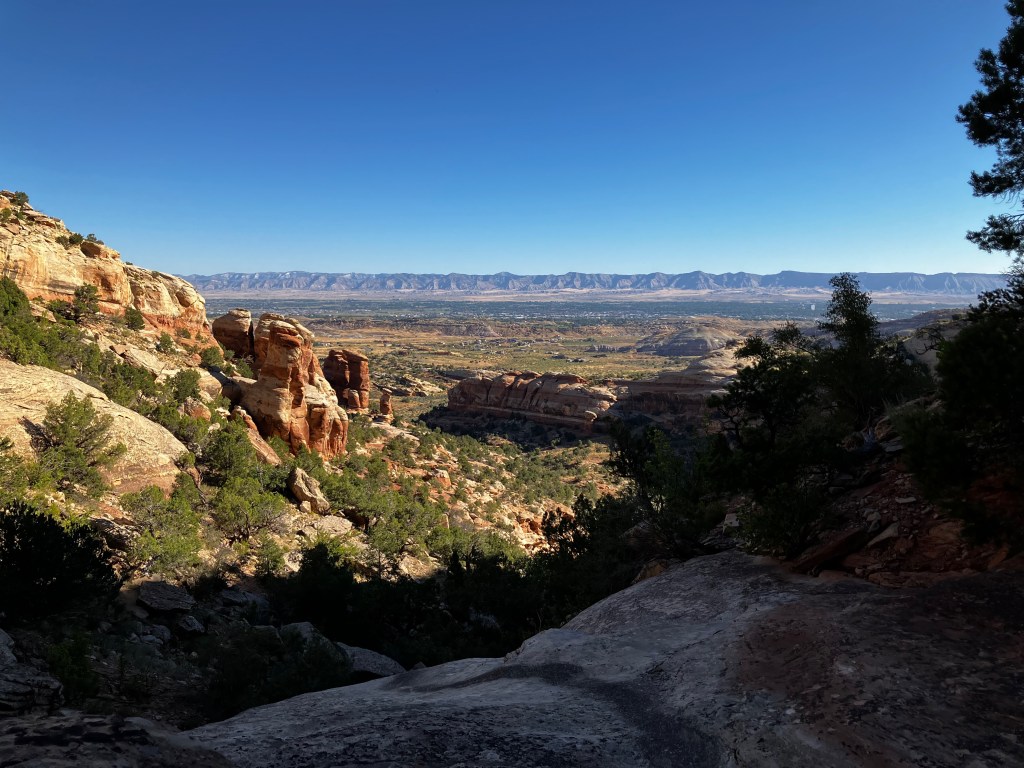
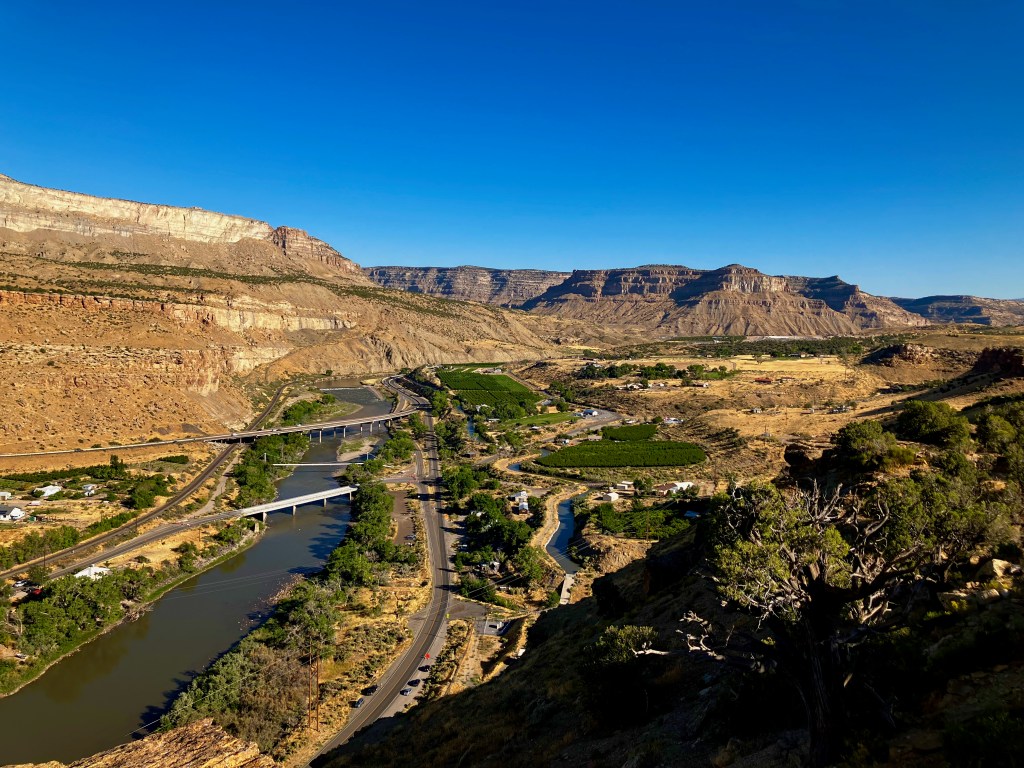
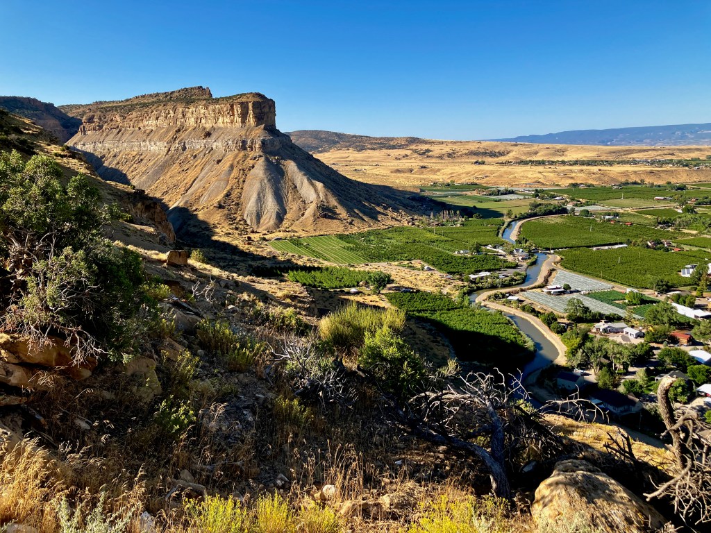
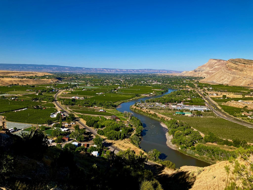
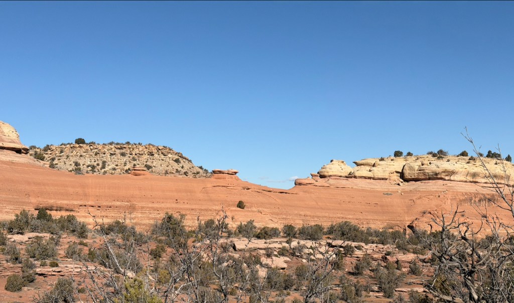
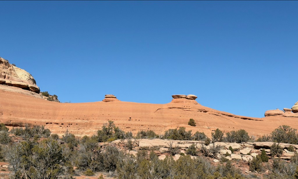
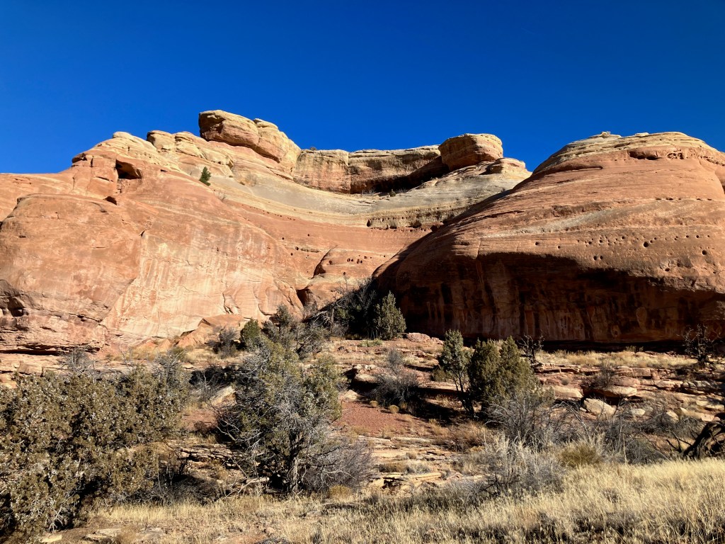
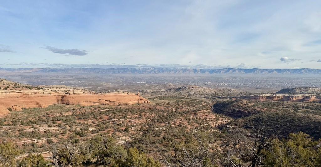
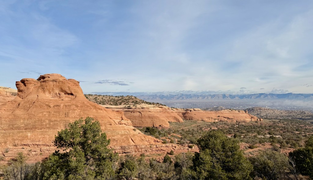
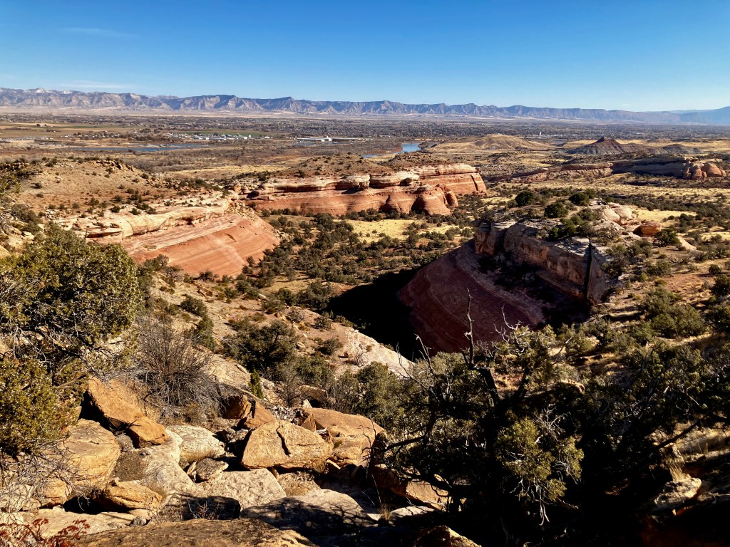
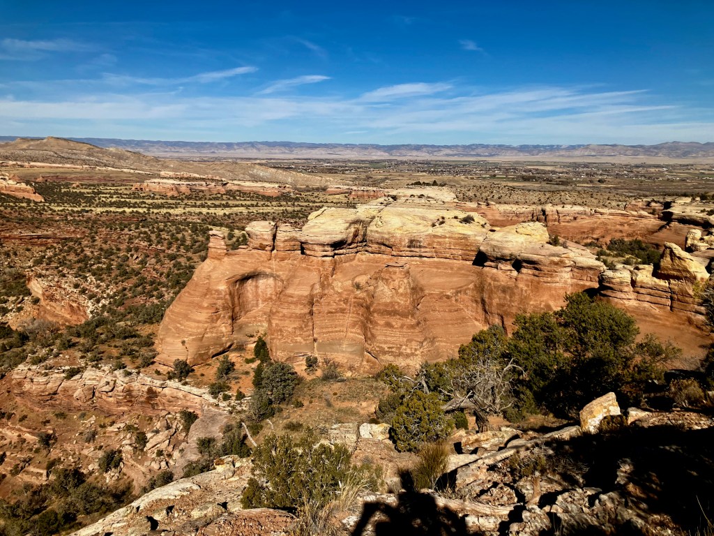
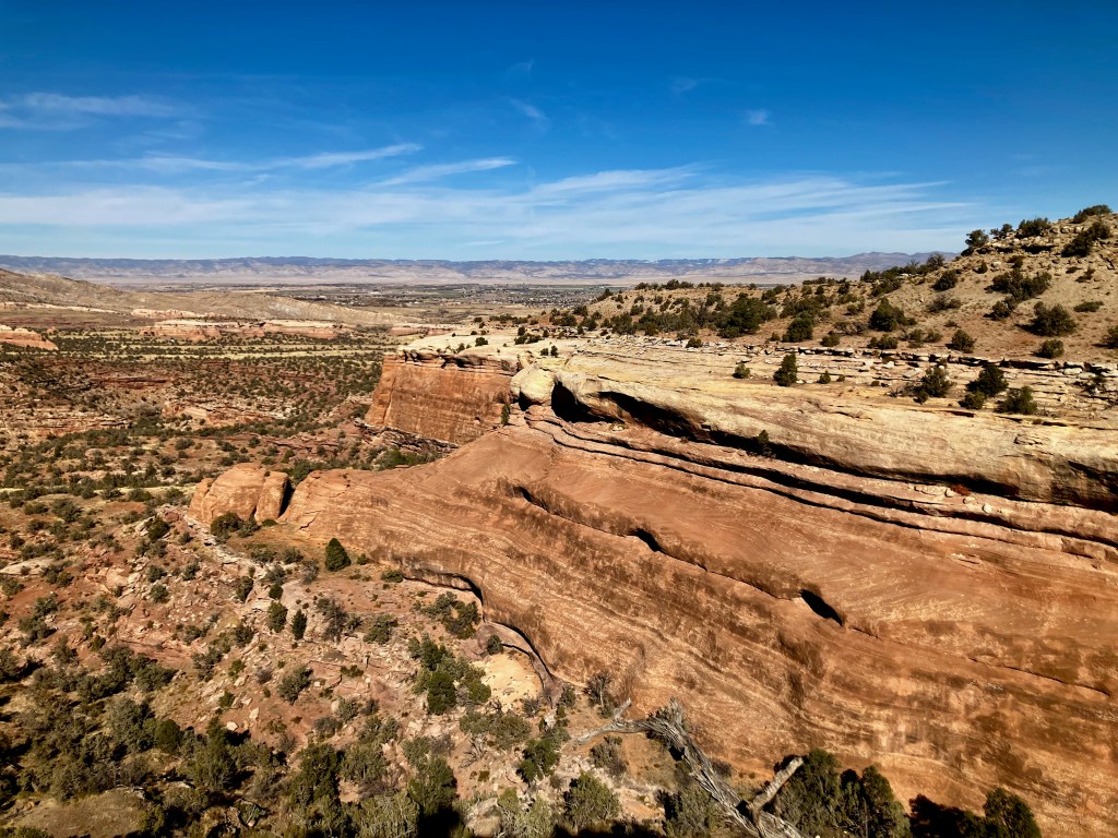
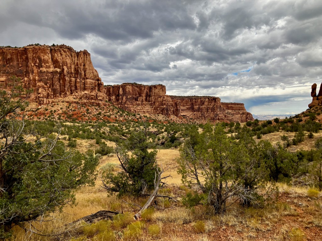
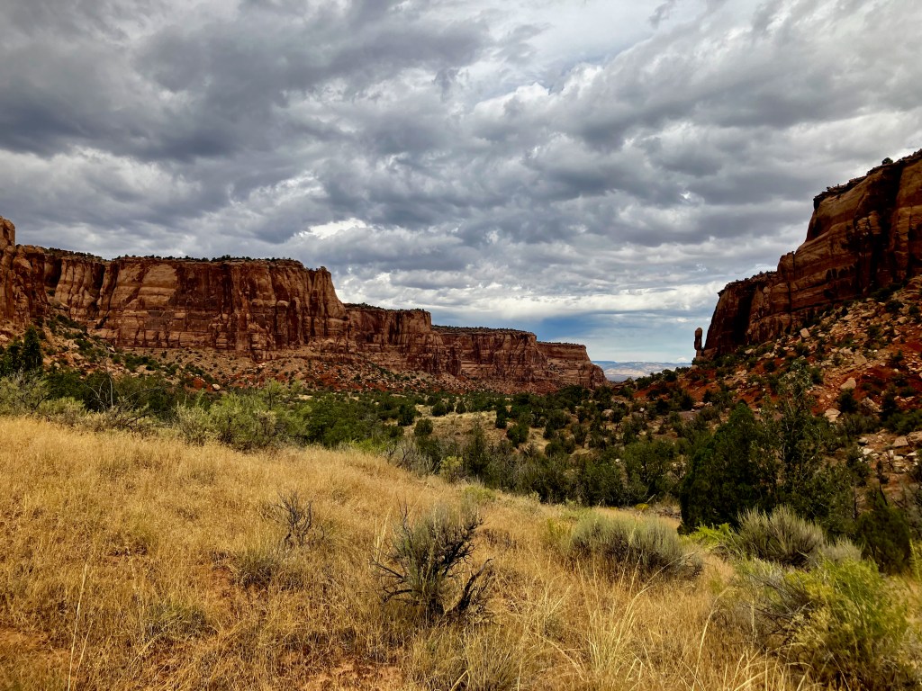
Palisade Rim Trail, 3.3 miles 616′ vertical
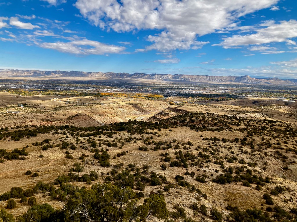
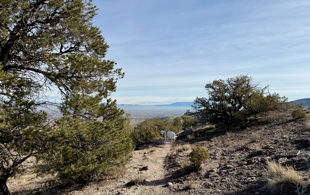
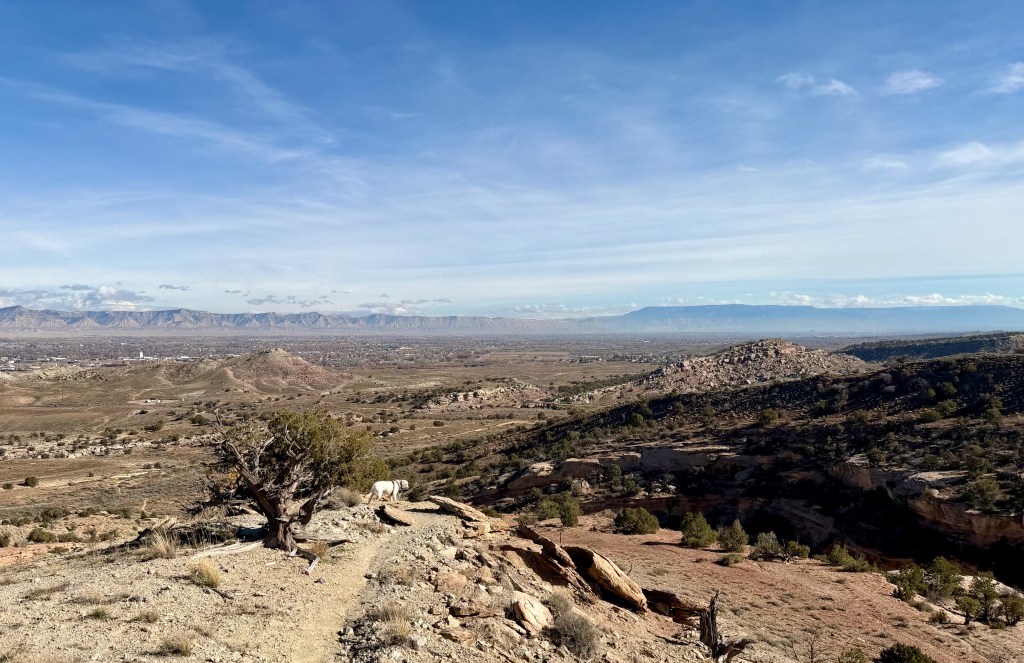
The Palisade Rim Trail gave me a different view of the valley and increased the physical effort to 3+ miles and 600+ vertical. This trail is located on the East end of Palisade up against the canyon wall created by the Colorado River. The distance and vertical were double that of my first hike but just right to create some positive pain in my legs. The fabulous views of the Grand Valley looking west confirmed for me how lucky I was to be living here. The trail is moderately challenging with a loop portion that highlights the view and the back canyon.
I recently returned to the Palisade Rim Trail to checkout the backside Palisade Plunge Trail.
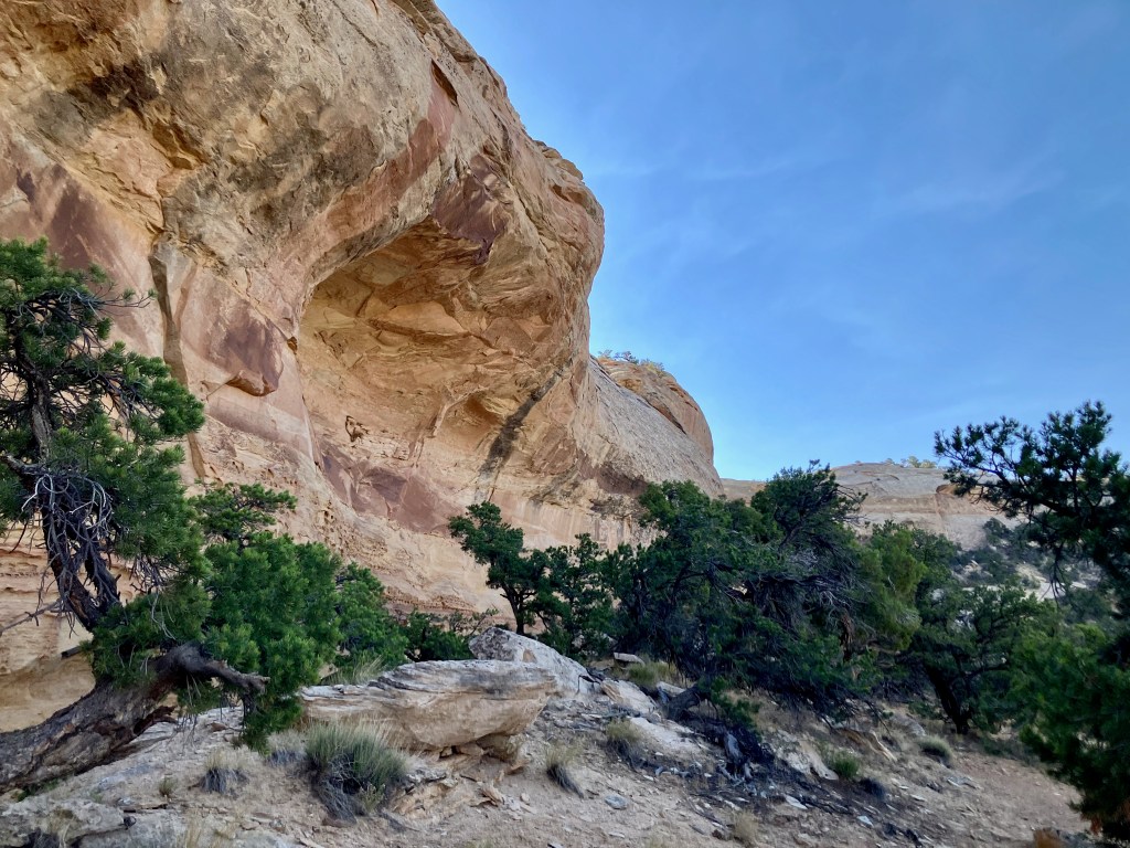
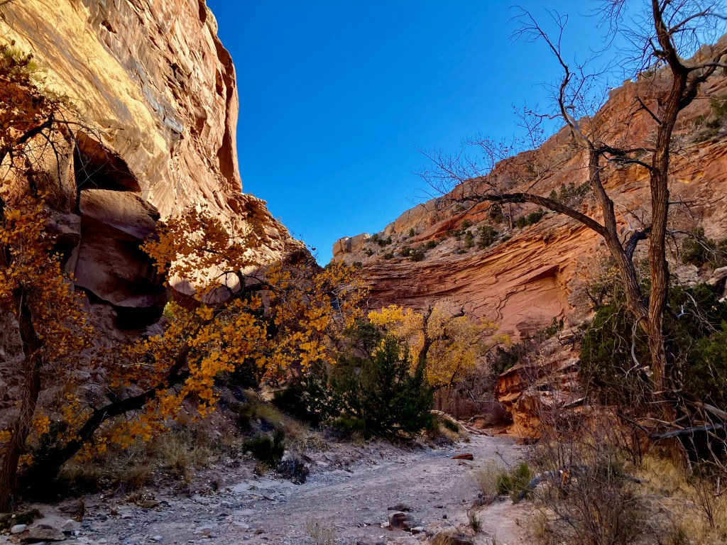
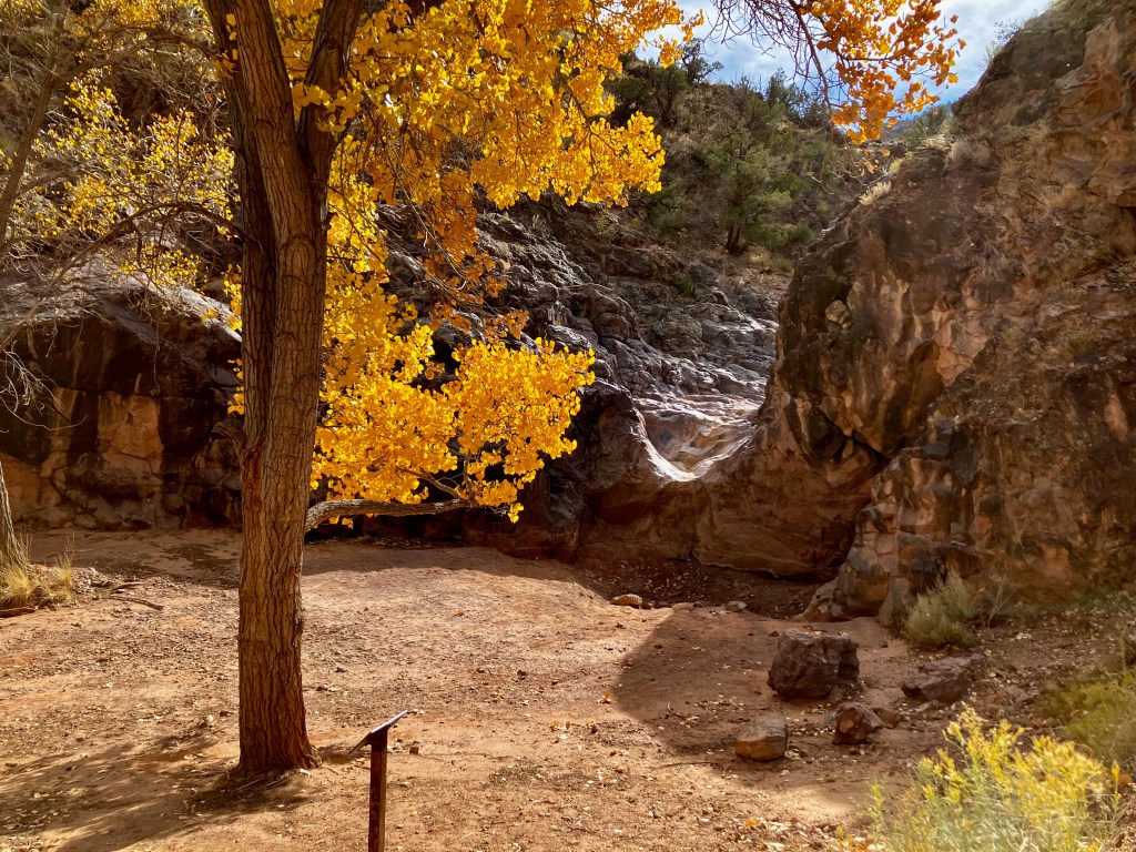
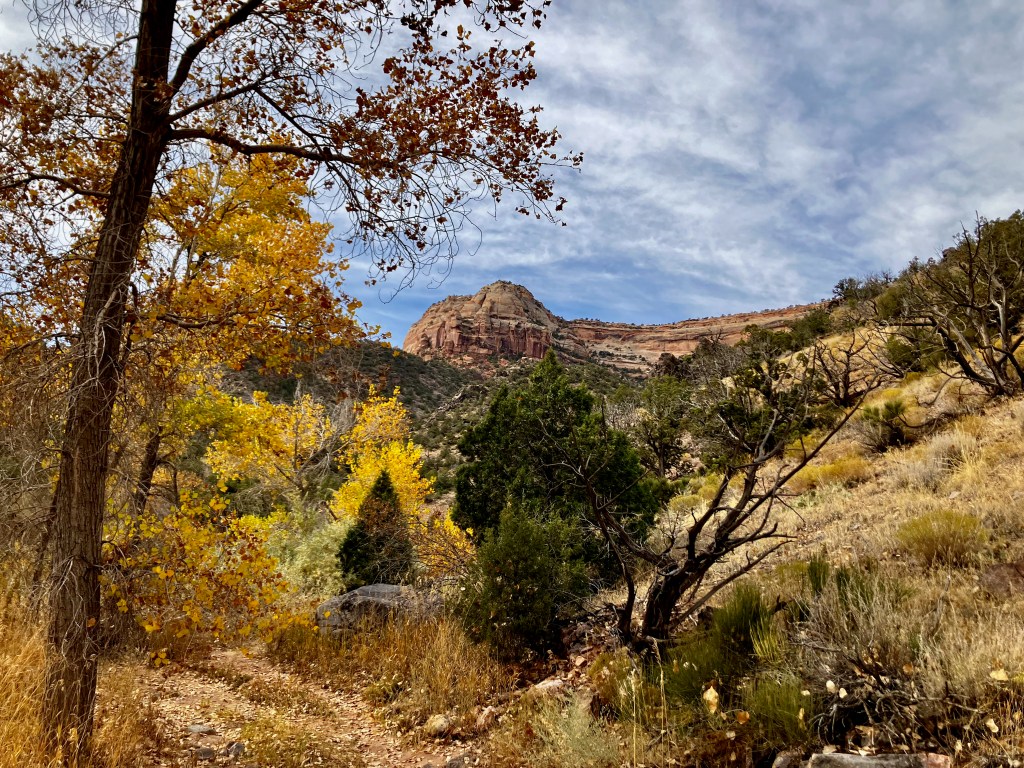
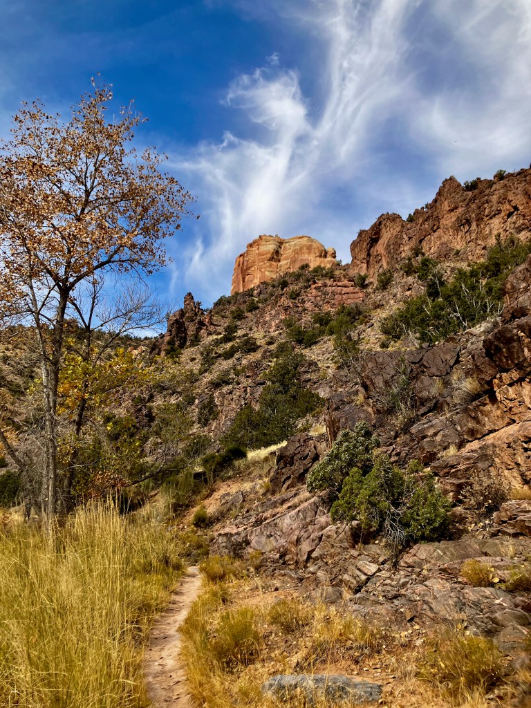
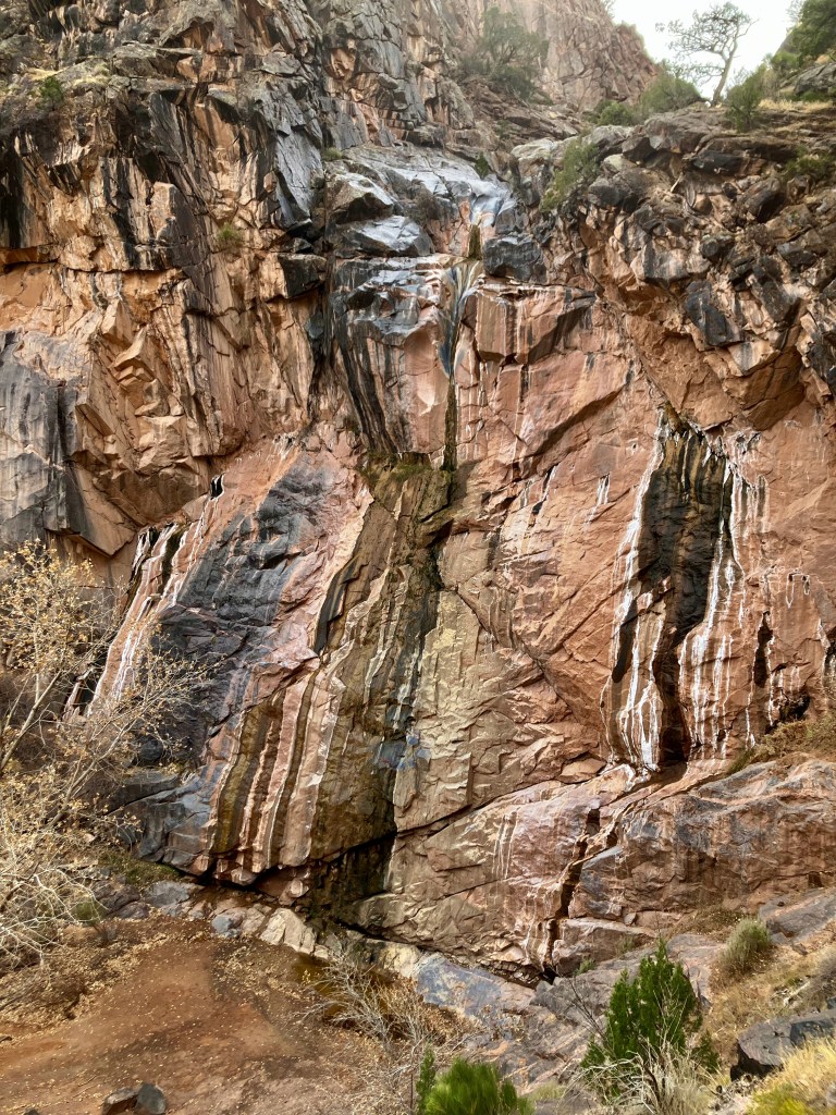
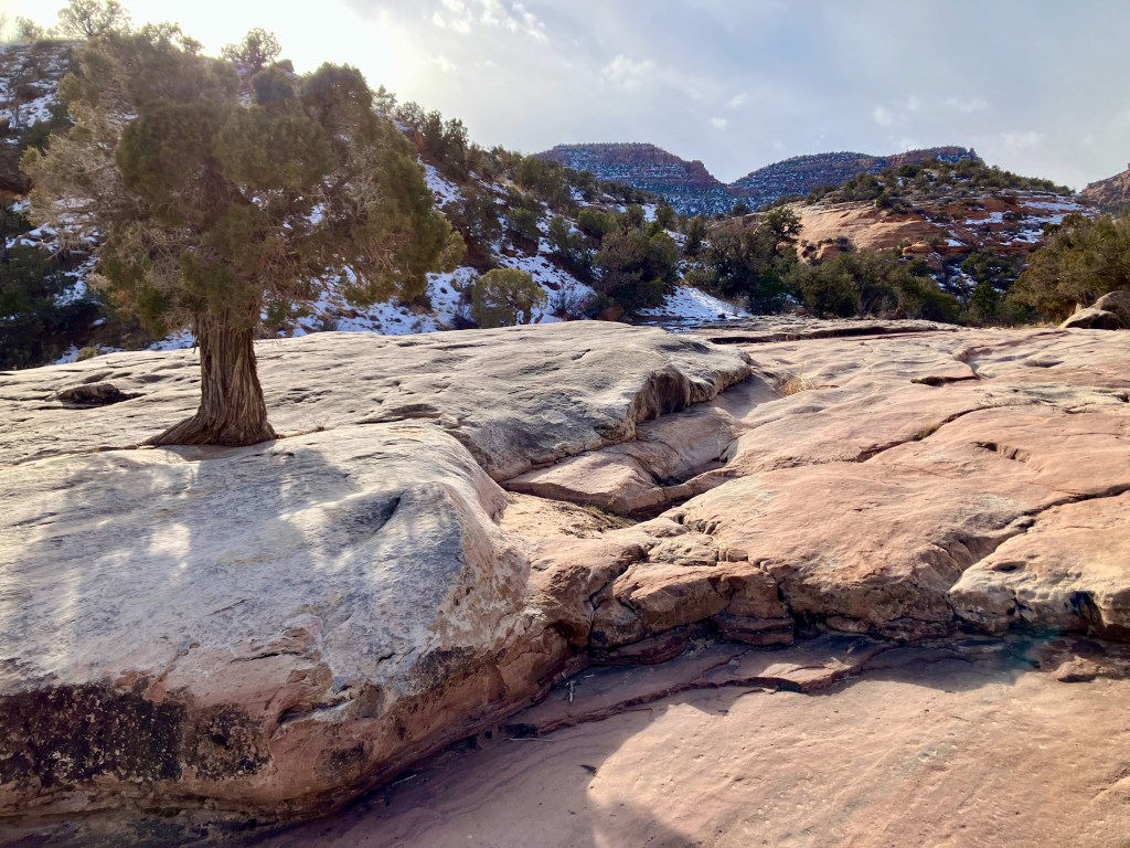
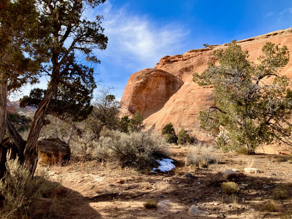
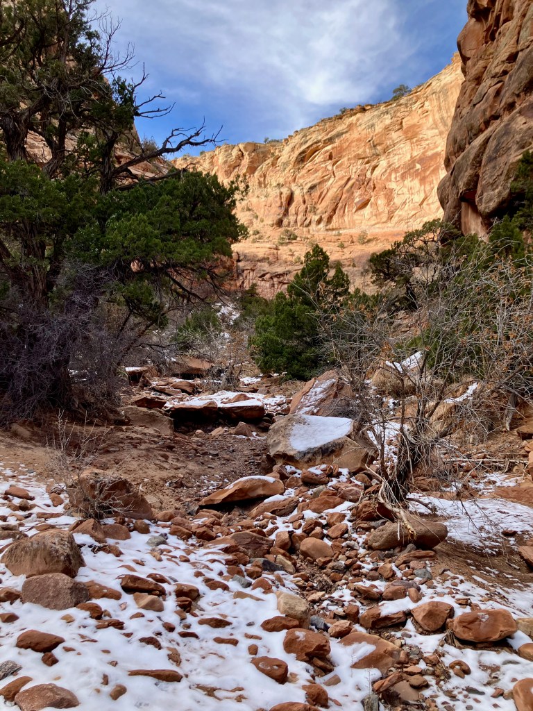
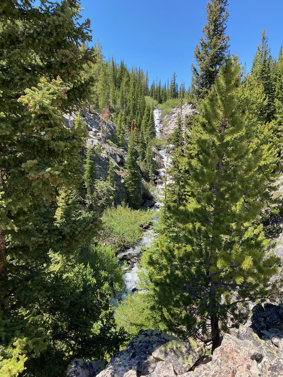
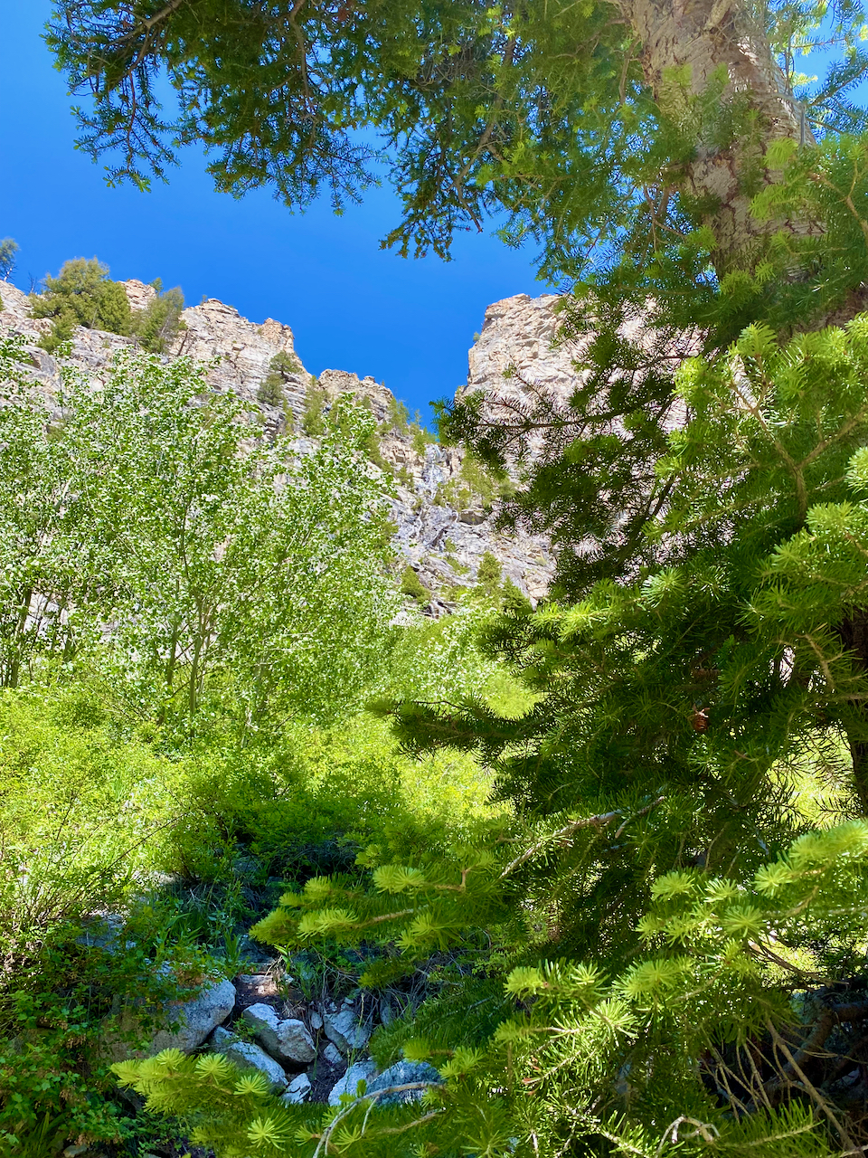
No Thoroughfare Canyon Trail, to 1st waterfall ~ 3 miles
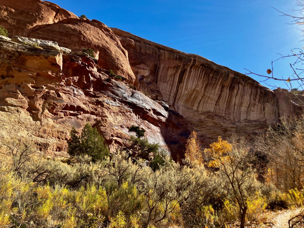
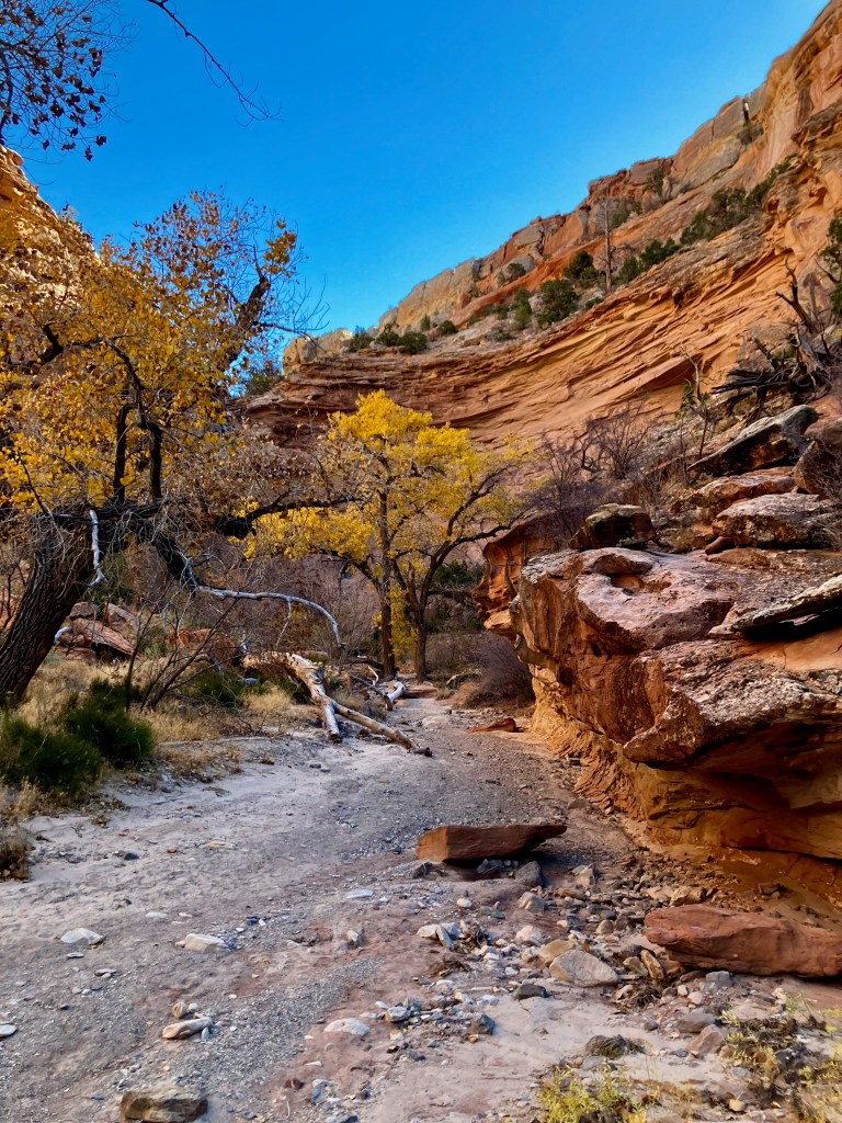
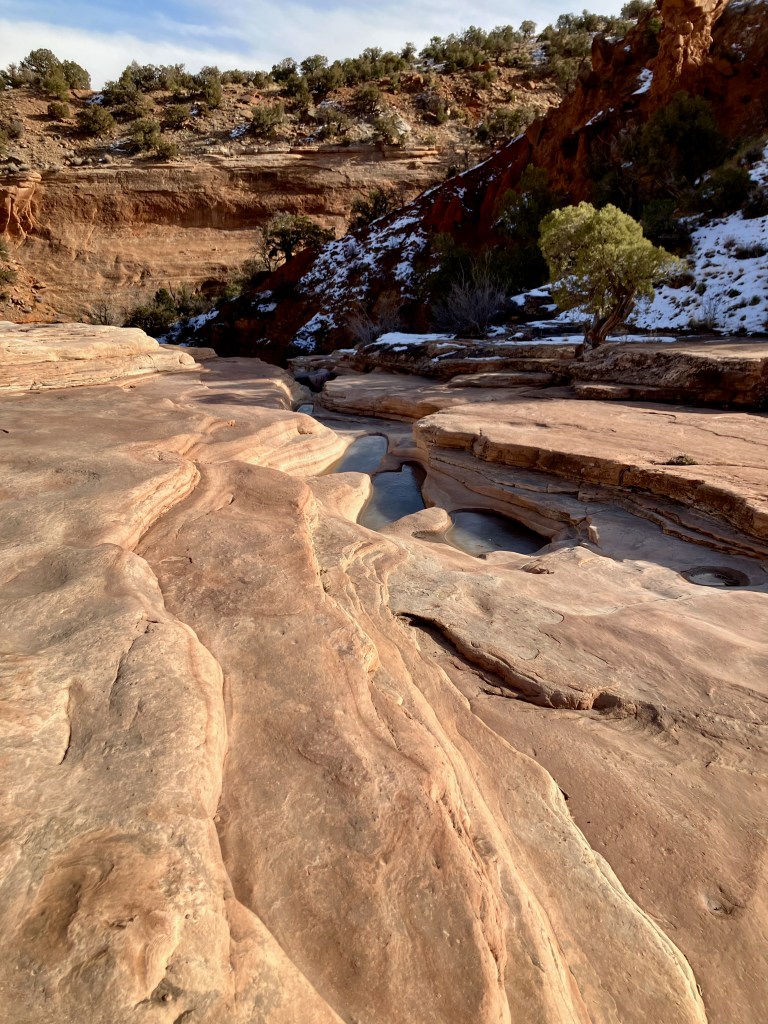
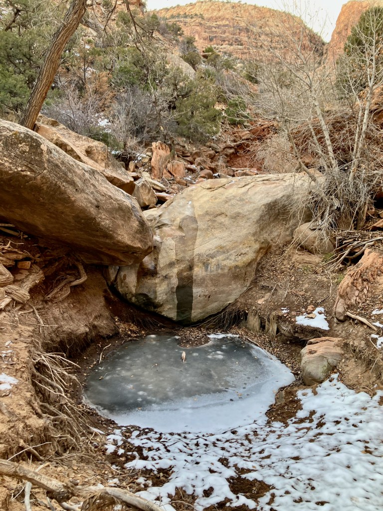
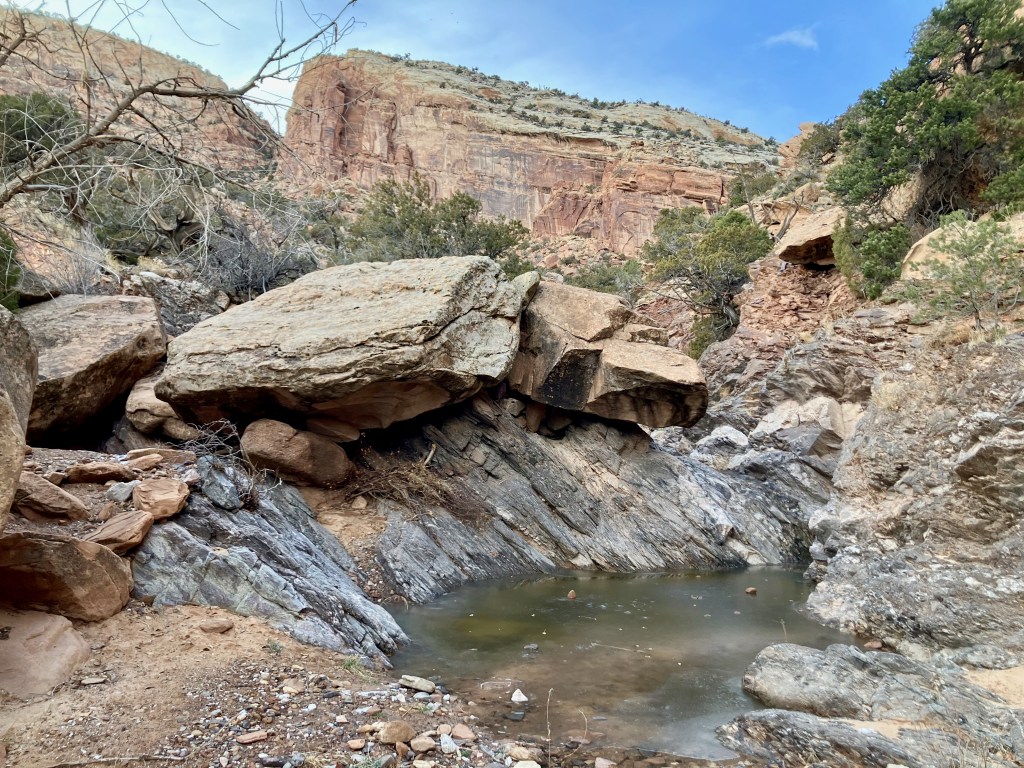
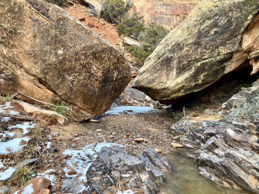
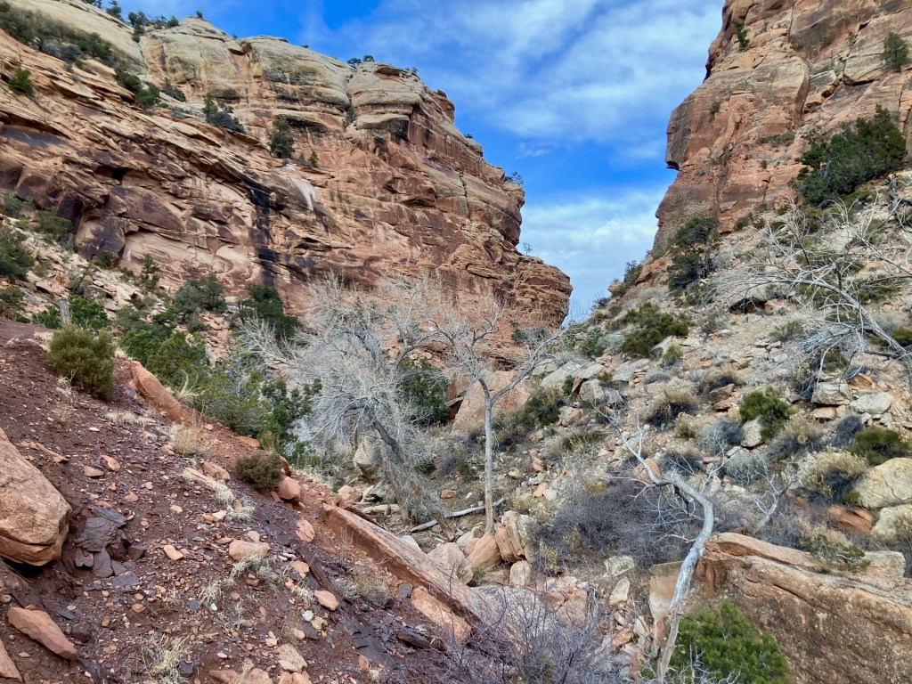
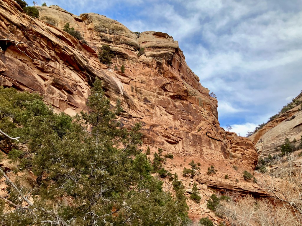
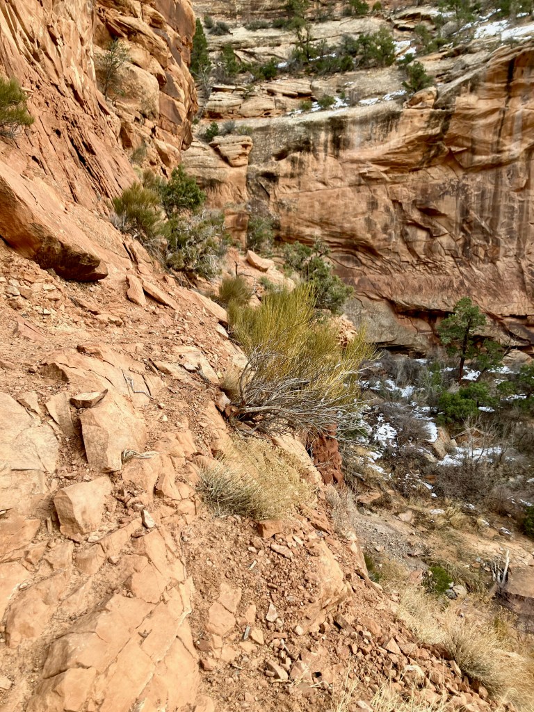
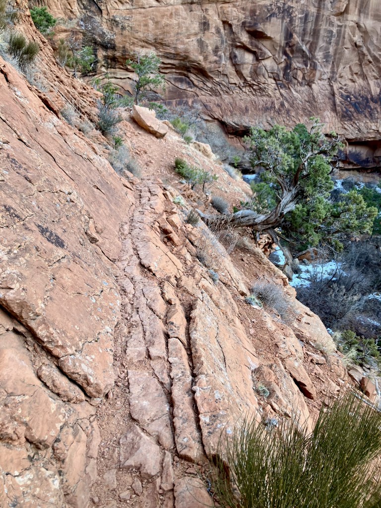
The No Thoroughfare Canyon Trail in the Colorado National Monument was intriguing to me because I wanted to hike the 6 mile version from above, but I needed to hike the popular portion of the trail from the Devils Kitchen Trailhead up to the first 2 waterfalls. I tried to climb above the first waterfall, however, I chickened out so I definitely won’t be doing the longer version of the trail from the upper trailhead. The beginning of the hike offers these amazing fortress views.
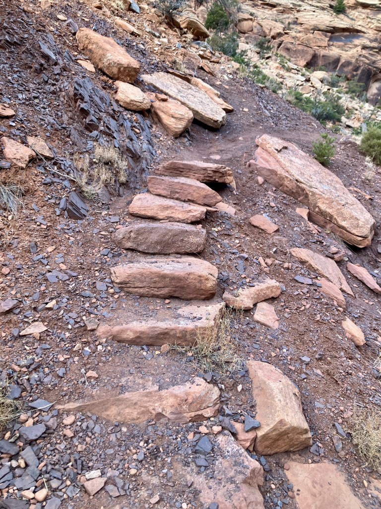
You come to a water pool area which is like a small waterfall, the around it is beautiful. You then climb up and over via a fairly nice step climb.
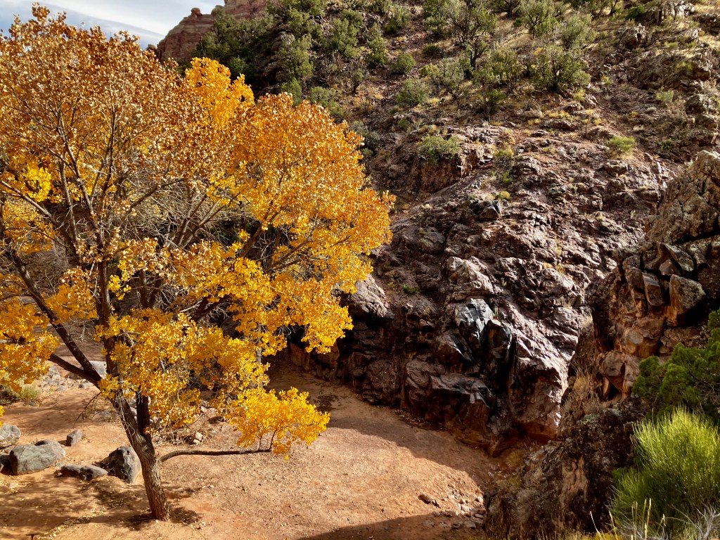
The hike up to the first falls provides more canyon beauty.
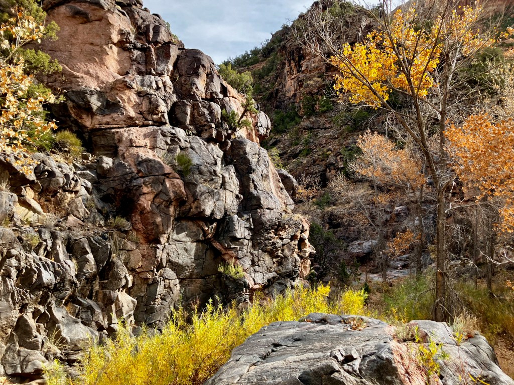
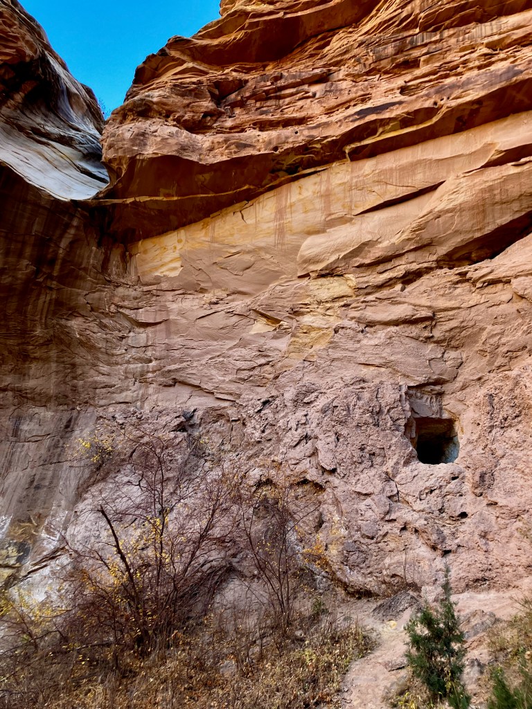
The first falls present interesting wall stains from the dry waterfall.
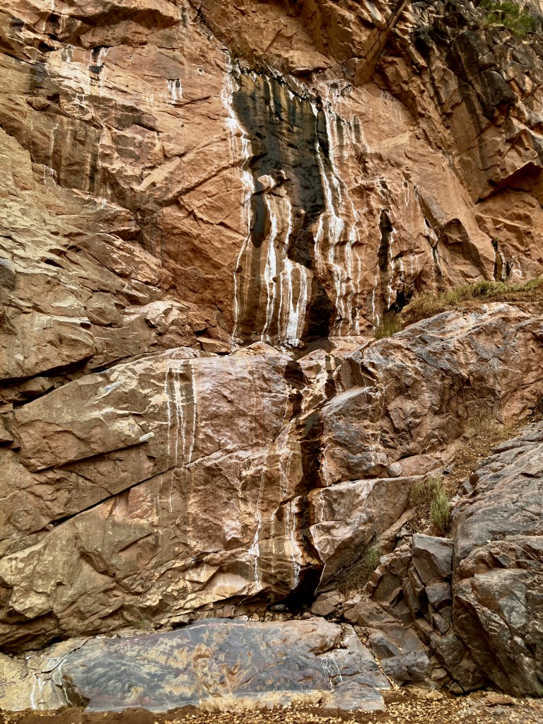
This is where I tried to climb up and over but halfway up I chickened out due to a narrow slanted section that if I slipped up would have been a 50′ fall.
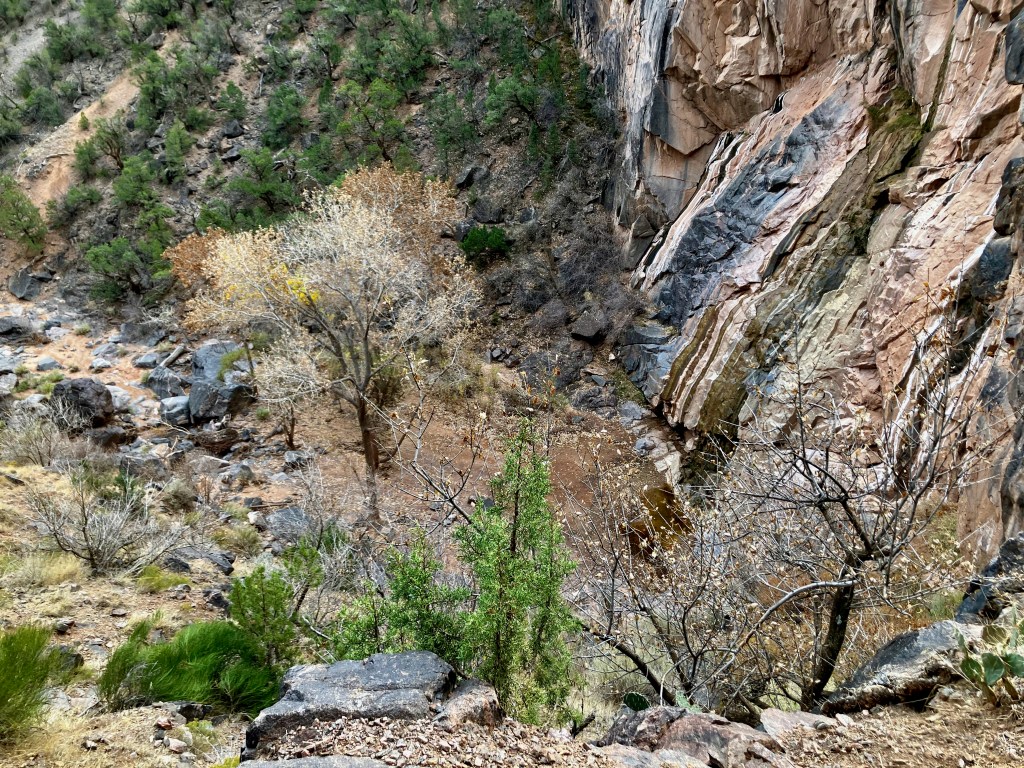
Heading back down to the Trailhead was an easy downhill trek.
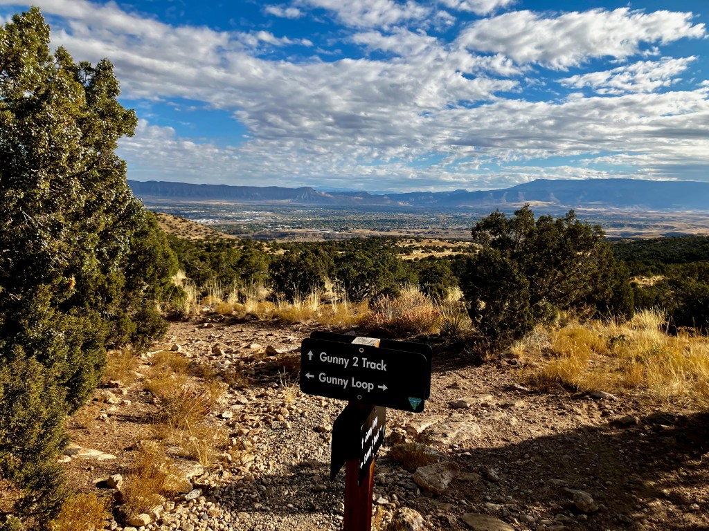
Gunny Loop/Connector, 4 mile 480′ vertical

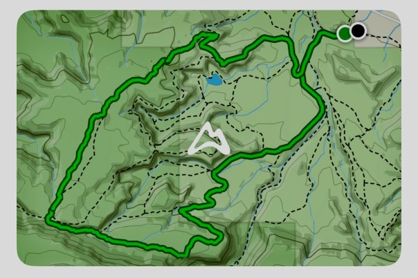
The Gunny Loop combined with the Gunny Loop Connector is one of many trail options in the Lunch Loops Trail area of the Bangs Canyon SRMA. This Gunny Loop reference from AllTrails is pretty close to accurate. This map to the right shows my path. I turned this hike into about a 4 mile 480′ vertical loop with a side link up to a great lookout at 5424′.
This hike is one of many in the area which are designated for foot or bike traffic. I would definitely classify this route a moderate. The trail hiked clockwise offers excellent signage and is well maintained. The first half of the hike offers numerous excellent views of the Grand Valley.
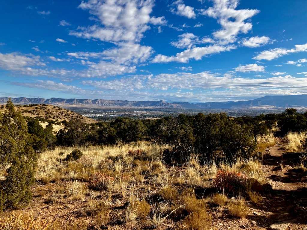
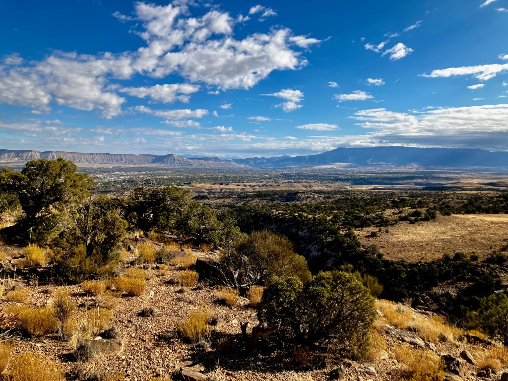
The second half of the trail back to the trailhead provides access to small interesting canyon undulations with views to the South and West.
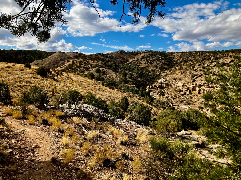
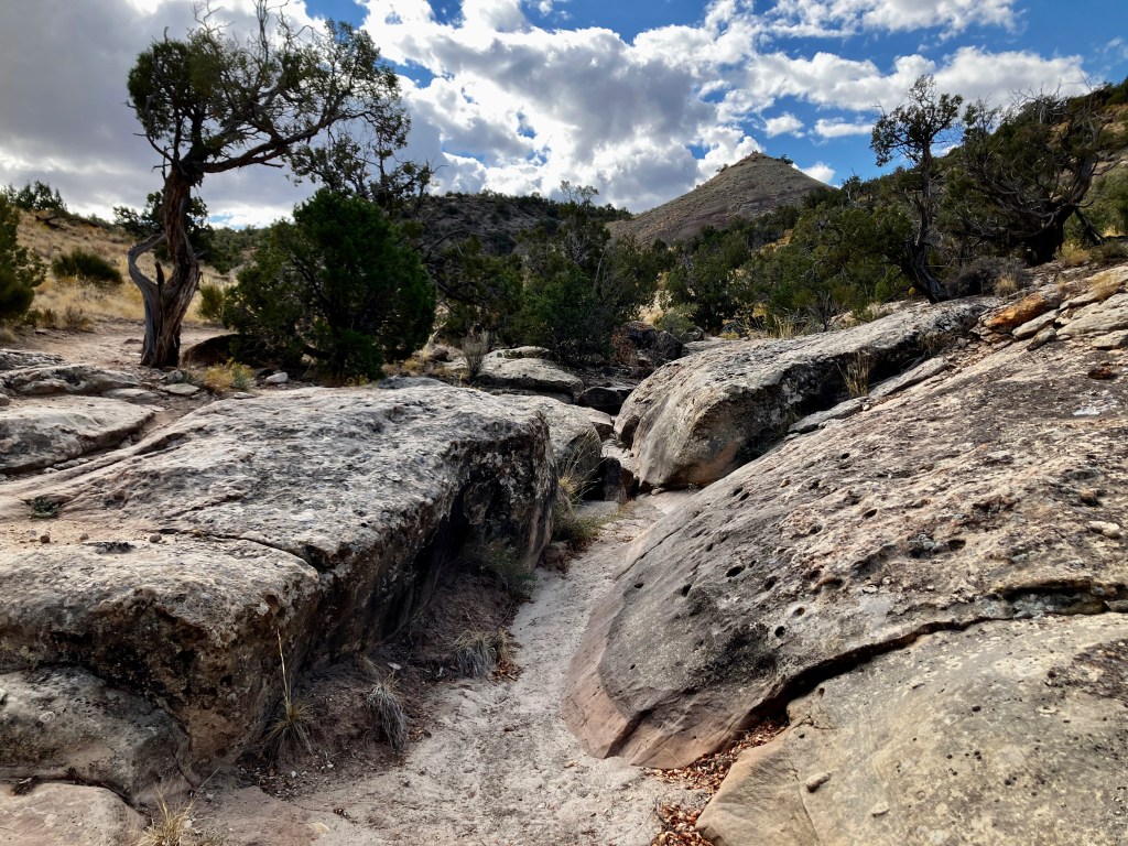
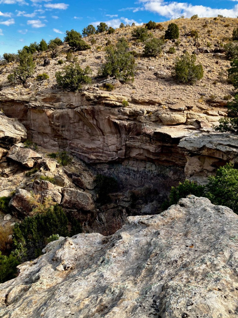
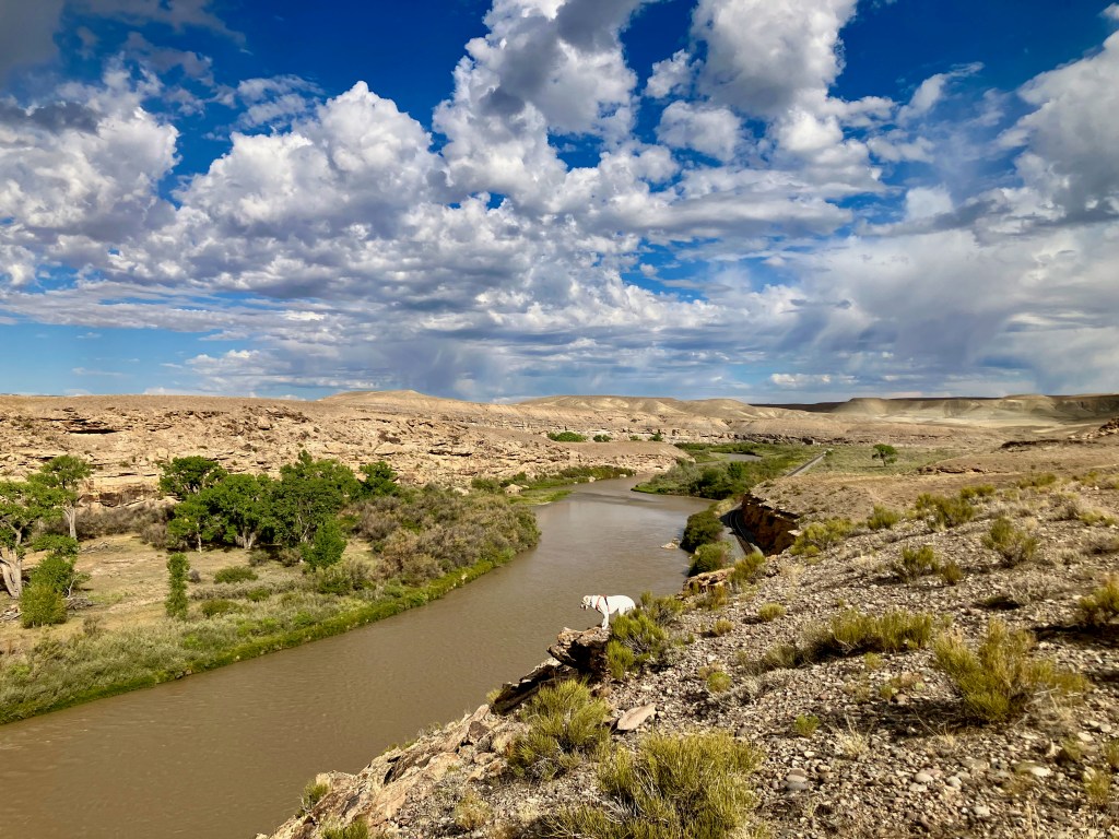
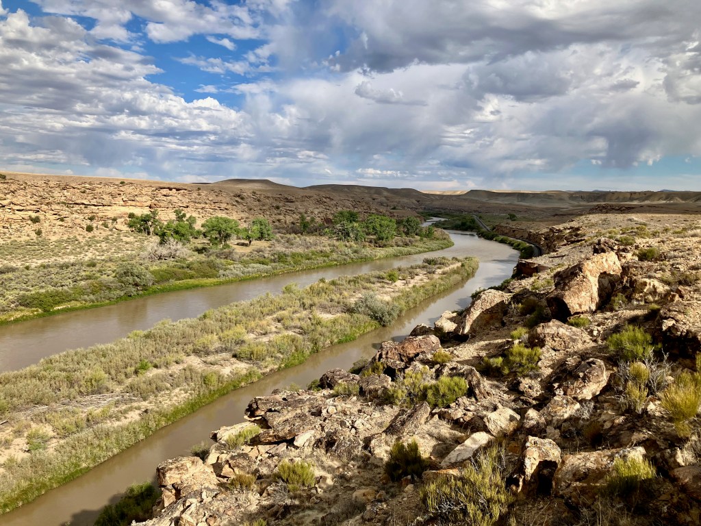
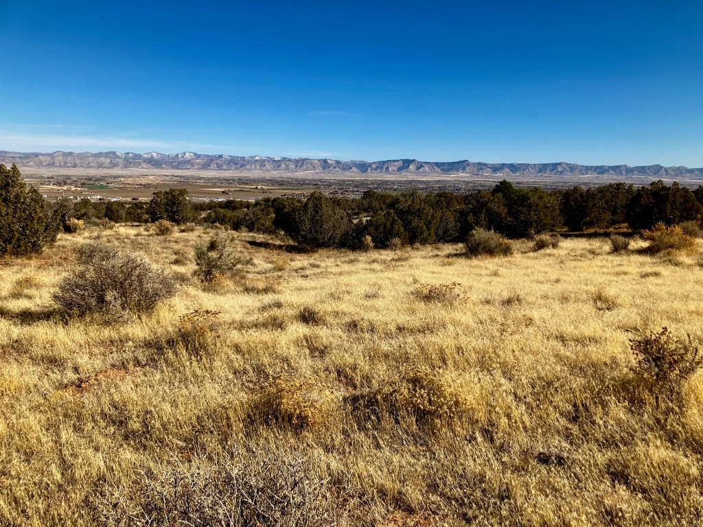
Gunnison Bluffs, 4.3 miles 305 vertical
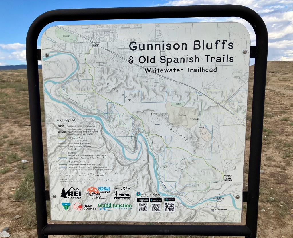
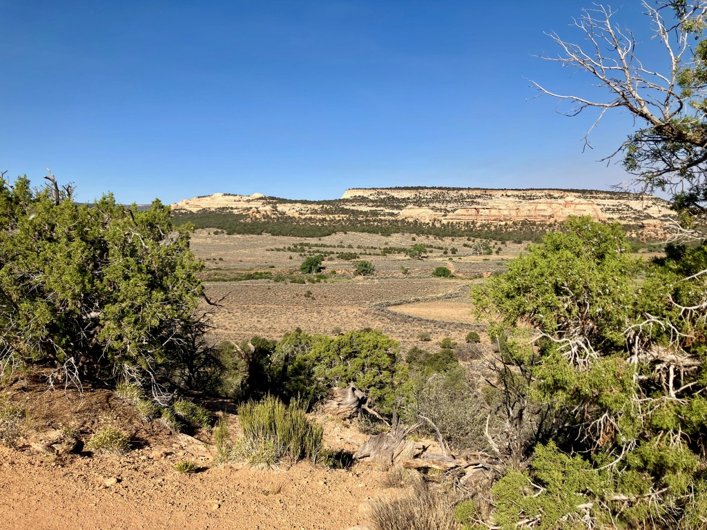
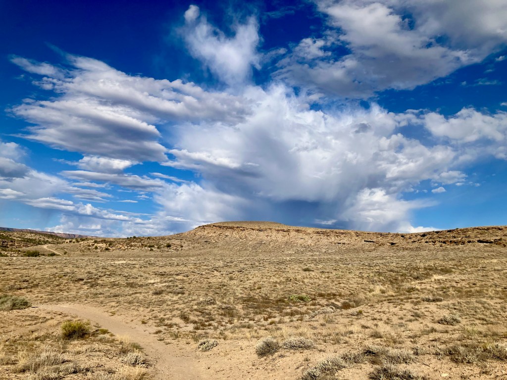
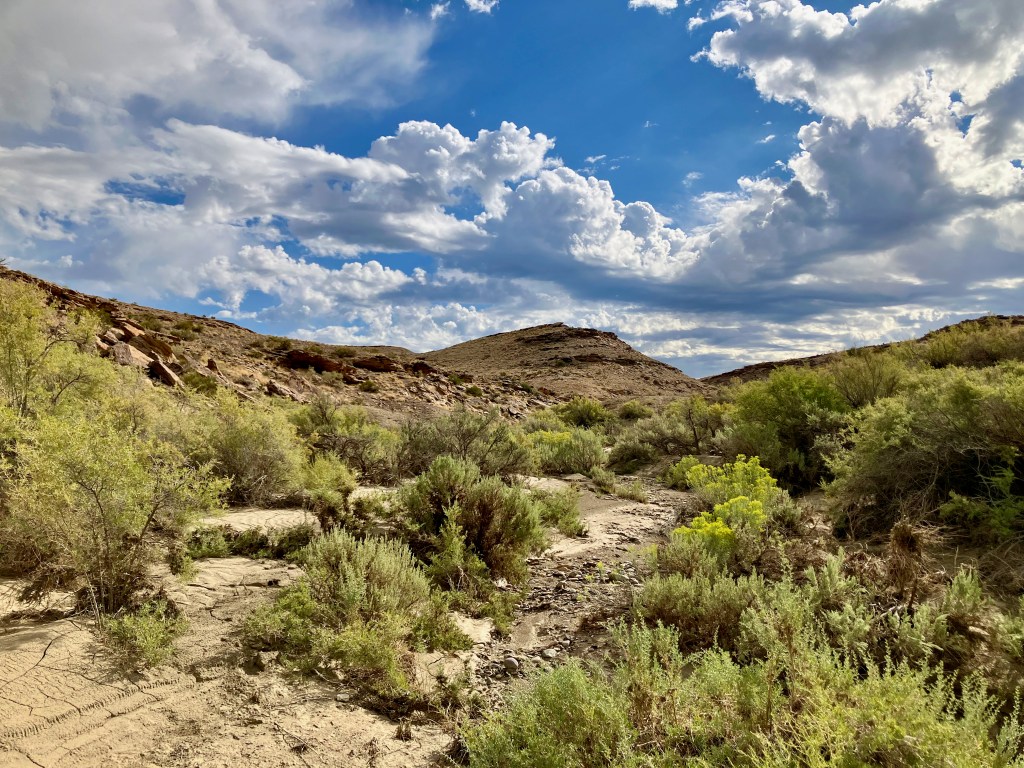
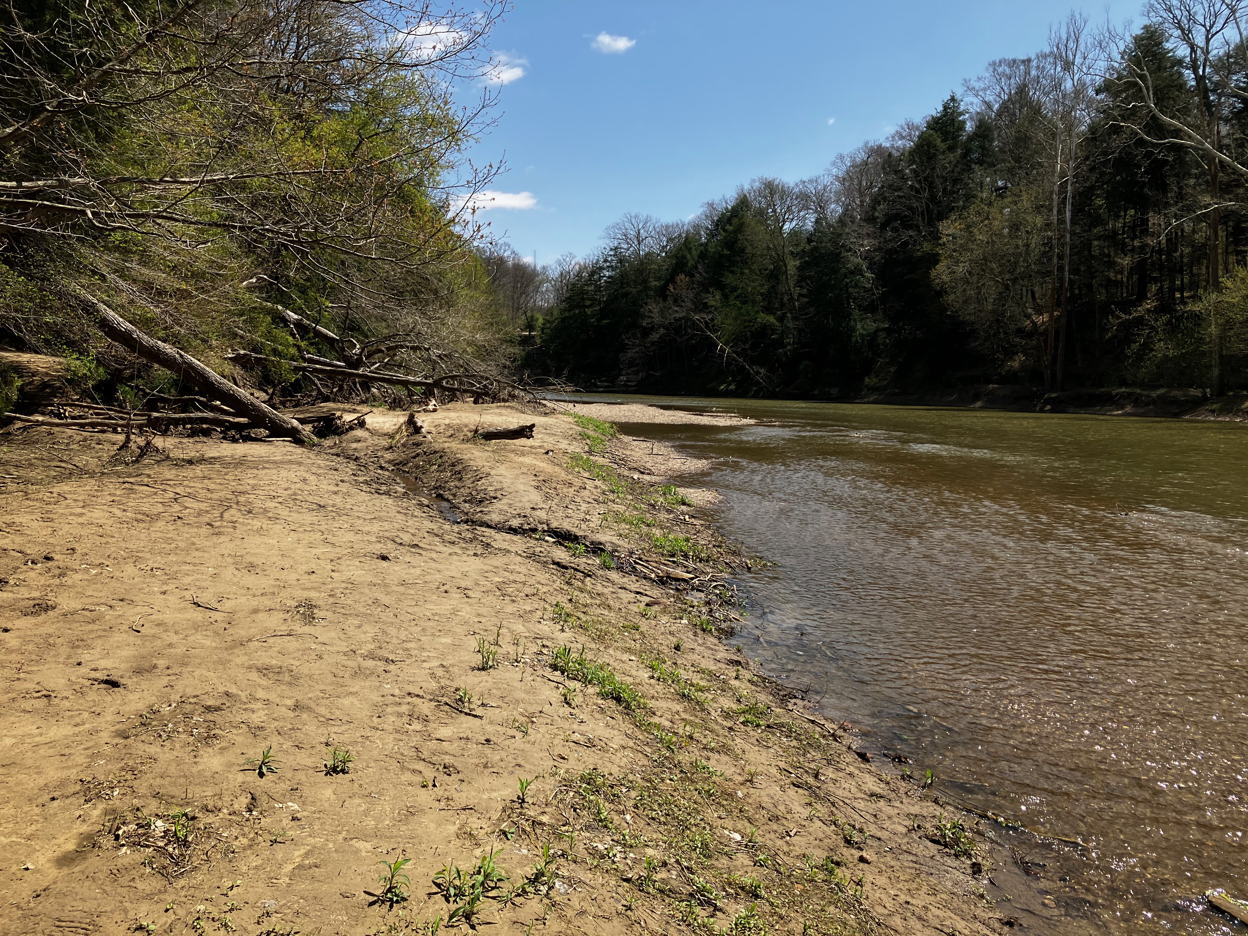
The Gunnison Bluffs Trail is a beautiful and easy hike along the bluffs of the Gunnison river just east of Grand Junction outside of Whitewater. This hike is part of the Old Spanish Trail System and is mostly on private land that . The trail travels along the bluffs above the north side of the Gunnison River. The typical semi arid desert terrain of the area is enhanced by bluffs overlooking the green vegetation along the river corridor. I loved the expansive desolate views which offer their own form of beauty. The views of the Gunnison truly reflect how a river brings life to the desert.
The loop identified in Alltrails may only be 4.3 miles, however, you can create whatever length hike you desire. Definitely some nice options for mountain bikers with side trails.
You may also be joined by a train chugging through the little canyon.
This is a great hike to feel the great open space with awesome views of the Gunnison river from the bluffs and the view of the Grand Mesa to the Northeast.
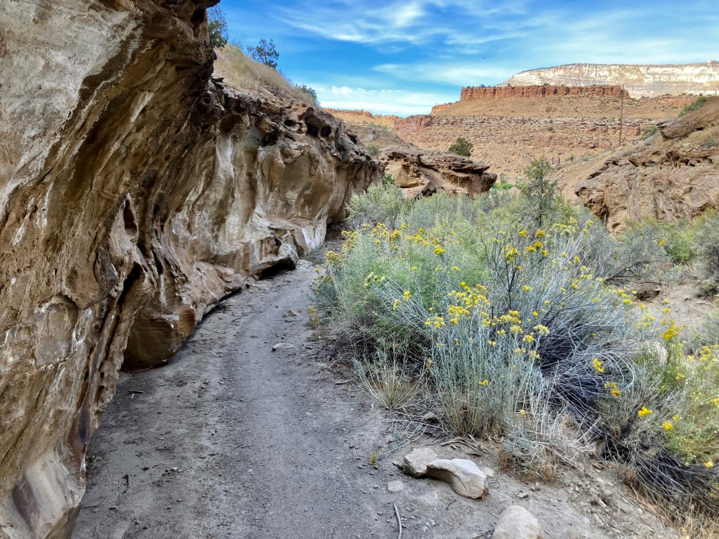
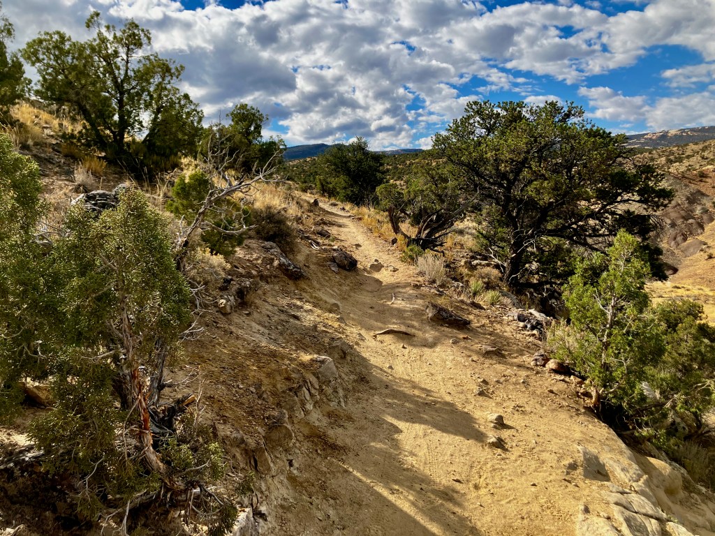
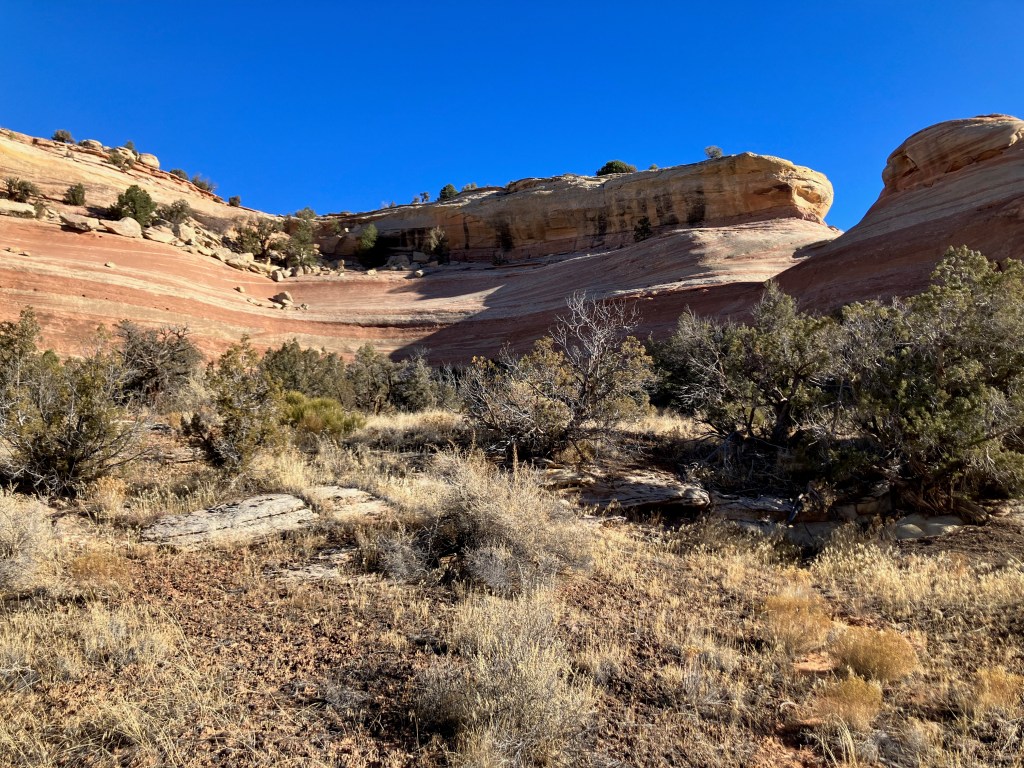
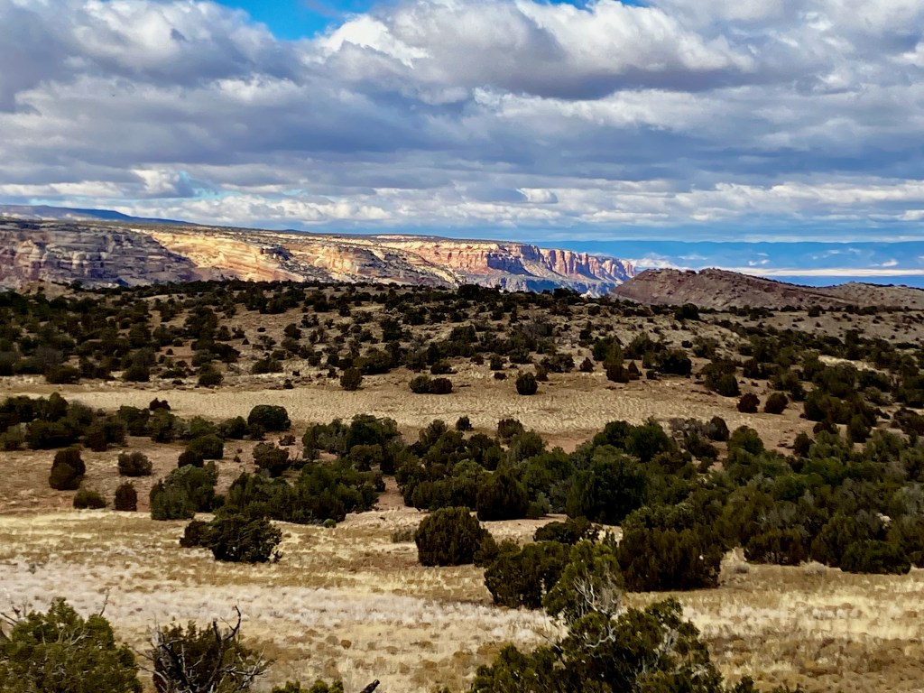
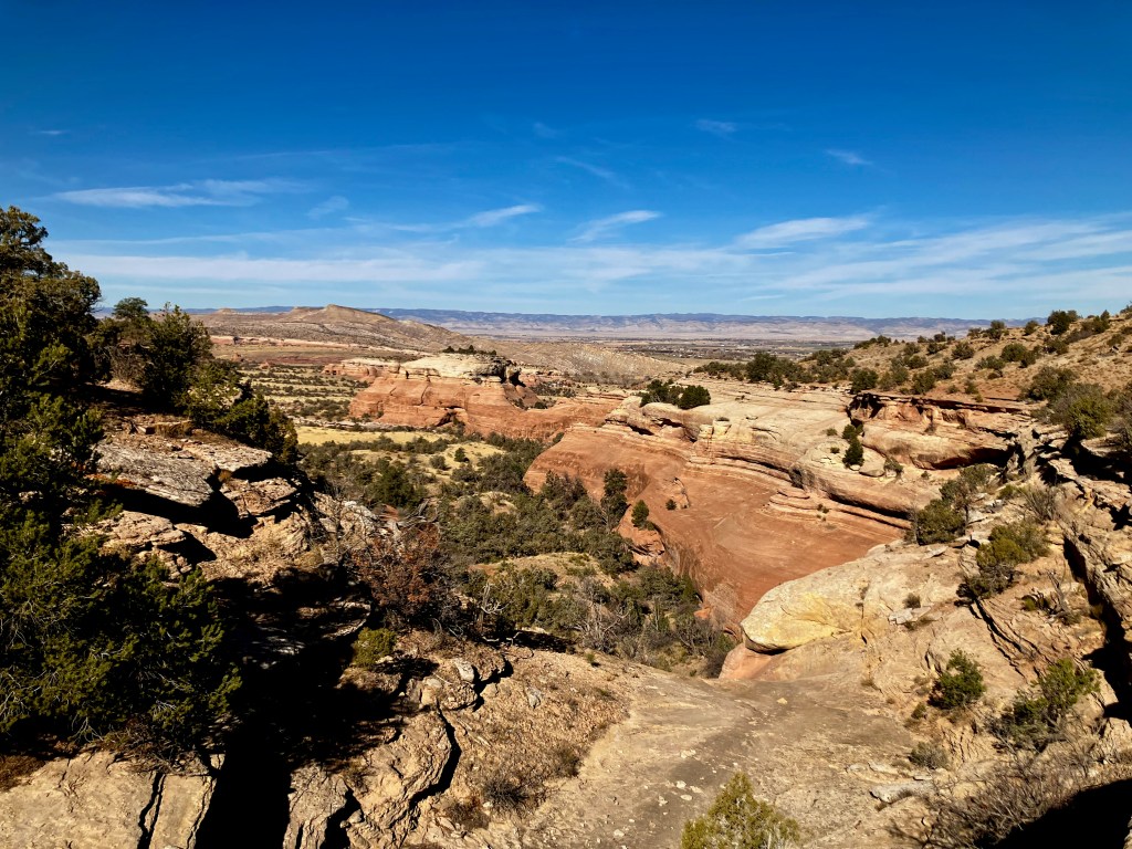
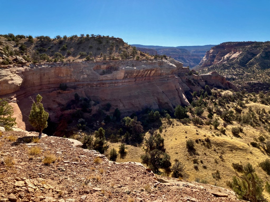
The Flume Canyon Western Loop, 4.5 miles 505′ vertical
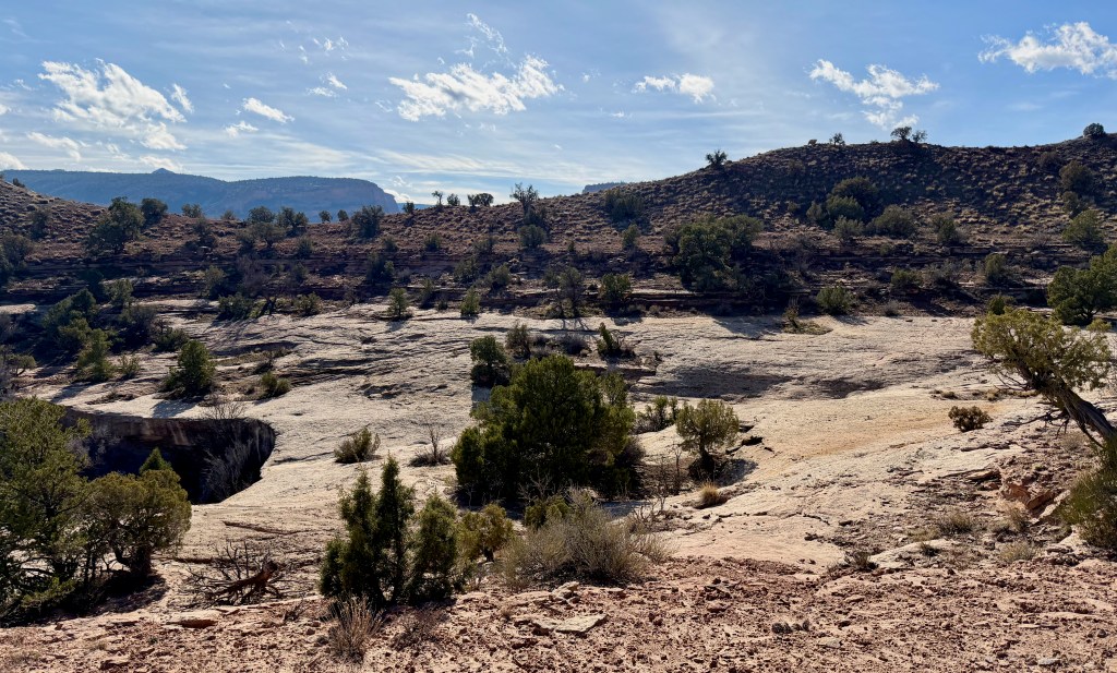
The Flume Canyon Western Loop Trail is just west of the Flume Canyon taking you south & west to return under the Pollock Bench. The trail was always worthy of a good hike and the views were excellent from below the Pollock Bench. I parked at the Pollock Bench Trailhead but you could park along the road just before the turn in to the Trailhead. The hike is a gradual climb of about 500 feet to the loop return point.
The trail is an continuous presentation of rock ridges and formations.
The return part of the loop takes you over to below the Pollock Bench. I did notice more runners on this trail probably because of the consistency of the dirt trail.
Heading back.
There are so many small holes in the sandstone rock walls that do serve as nesting sites for falcons, wrens and swallows. And then there are some unique rock art forms created by millions of years of weather..
Finishing out the hike takes you around the base of the bench with panoramic views.
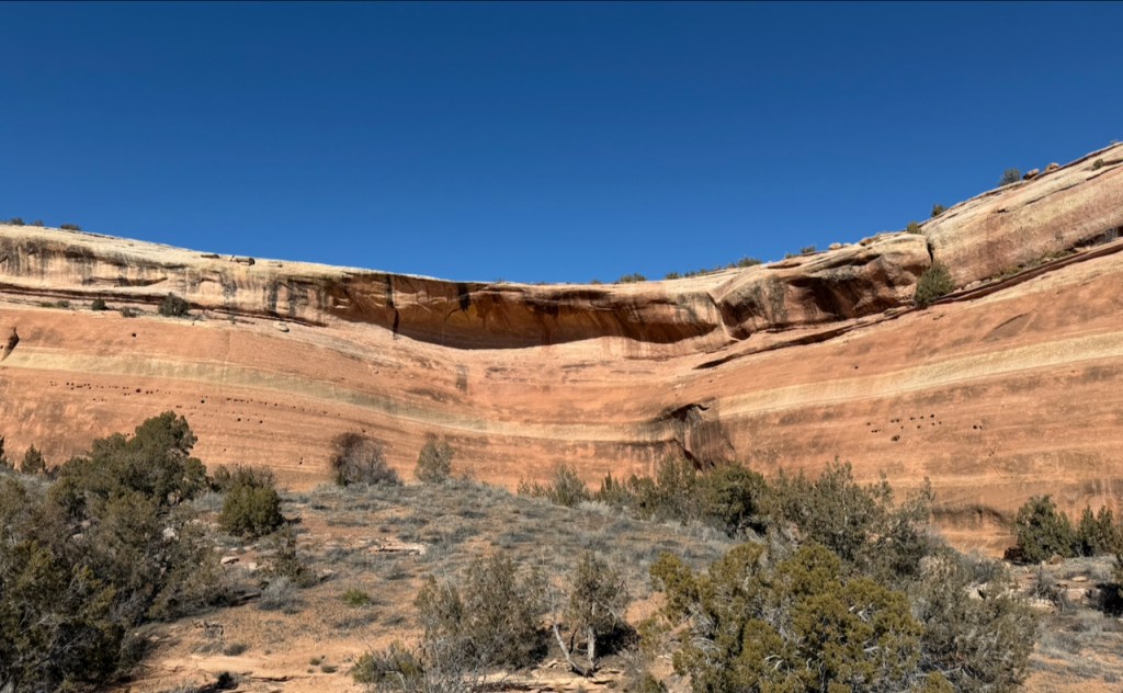
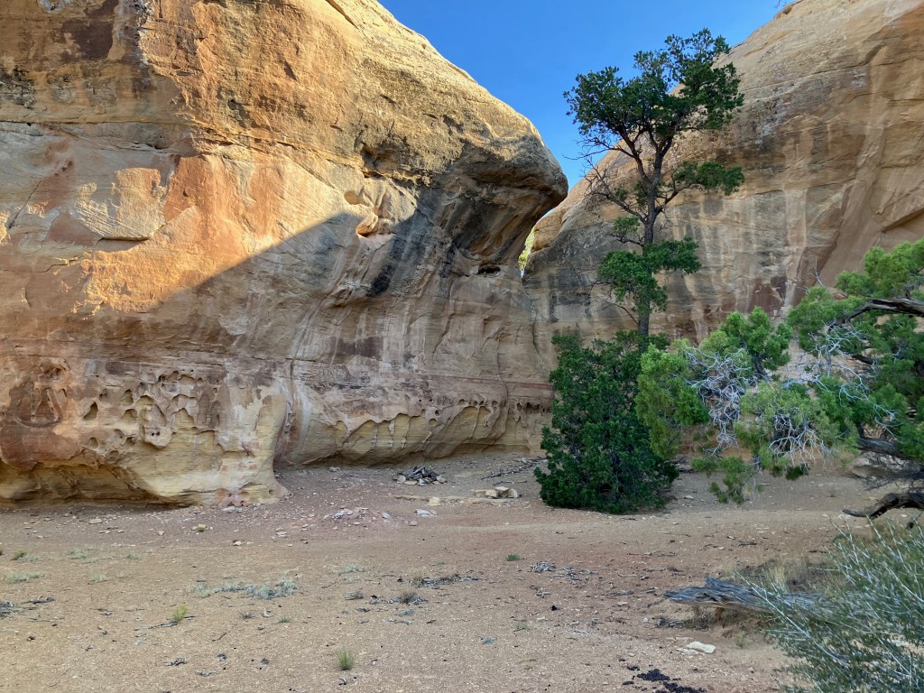
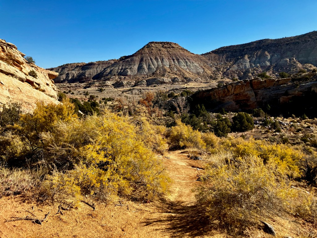
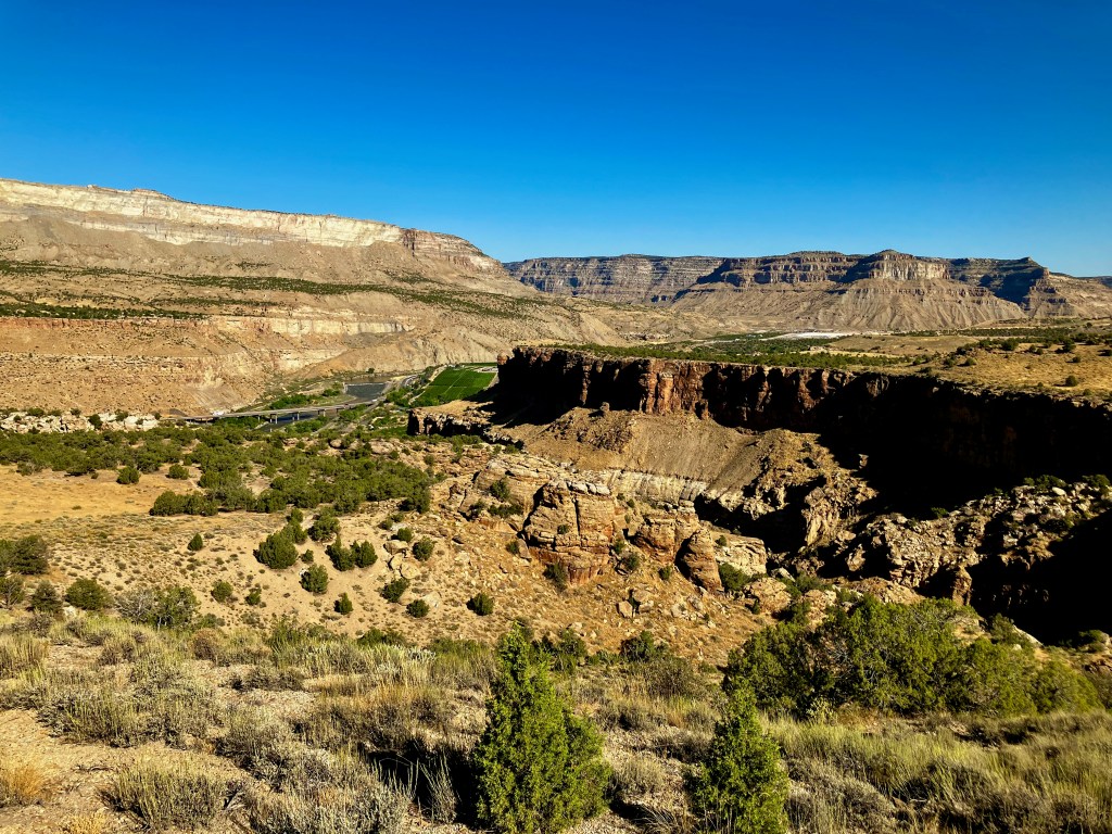
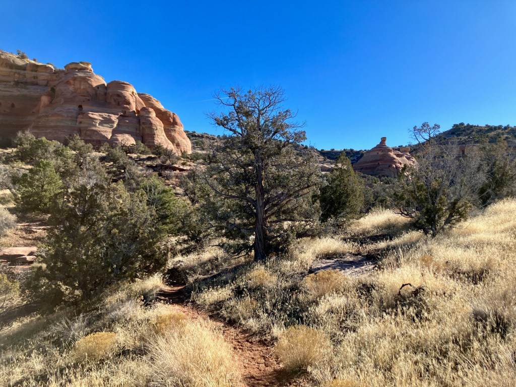
The Flume Canyon, 5 miles 500′ vertical
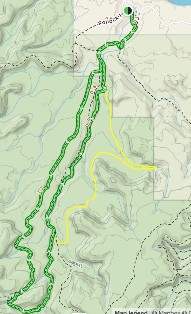
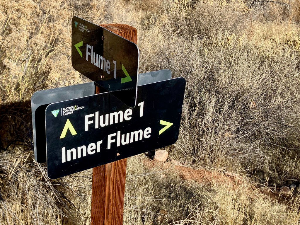
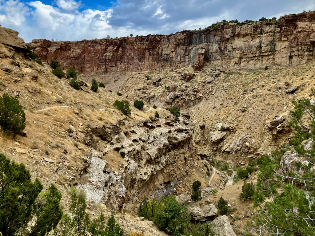
The Flume Canyon Trail in the McInnis Canyons National Conservation Area does not get high marks for excitement but that is only based on the trail documented on Alltrails. I would rank the area as exceptional using the actual Flume Canyon Trail as a baseline. You definitely want to do the actual Flume Canyon referred to as the Inner Flume. Plus there is reference to the Flume 1 Trail which confuses what should be the best path. I came to a fork in the trail which I assumed was the Flume Canyon Trail because it took me into a small canyon to the east for the actual trail. The yellow line shows my exploration. I knew I was off the main trail but used a path that took me to a small box canyon. I did end up hiking about 5 miles.

Then it was easy to backtrack a bit and find a real trail that took me to the Devils 1 Trail which merged with the east side of the Flume Trail.
Shortly after rejoining the Flume Trail I came across the end of the canyon from above.

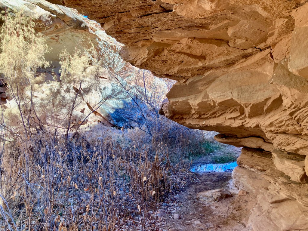
As I travelled back toward the trailhead on the Flume Trail I realized that this canyon was the true Flume Canyon and it looked like it needed to be explored. After about a mile I could tell that the canyon was shrinking enough to allow me to find a trail down into it. If I had stayed on the Flume Trail I would have seen the sign designating the Inner Flume which is basically what I was able to access.
Overall this Flume Canyon area was awesome and definitely calls me back to properly identify a new route. BTW, I met a couple my age who had set out to hike the Devils Canyon Loop but got stuck on the Devils D1 Trail taking them over to Flume. As I was leaving I found this out after I offered them a ride back to the Devils Canyon Trailhead.
Second Thoughts Trail and Twist-N-Shout Trail Loop
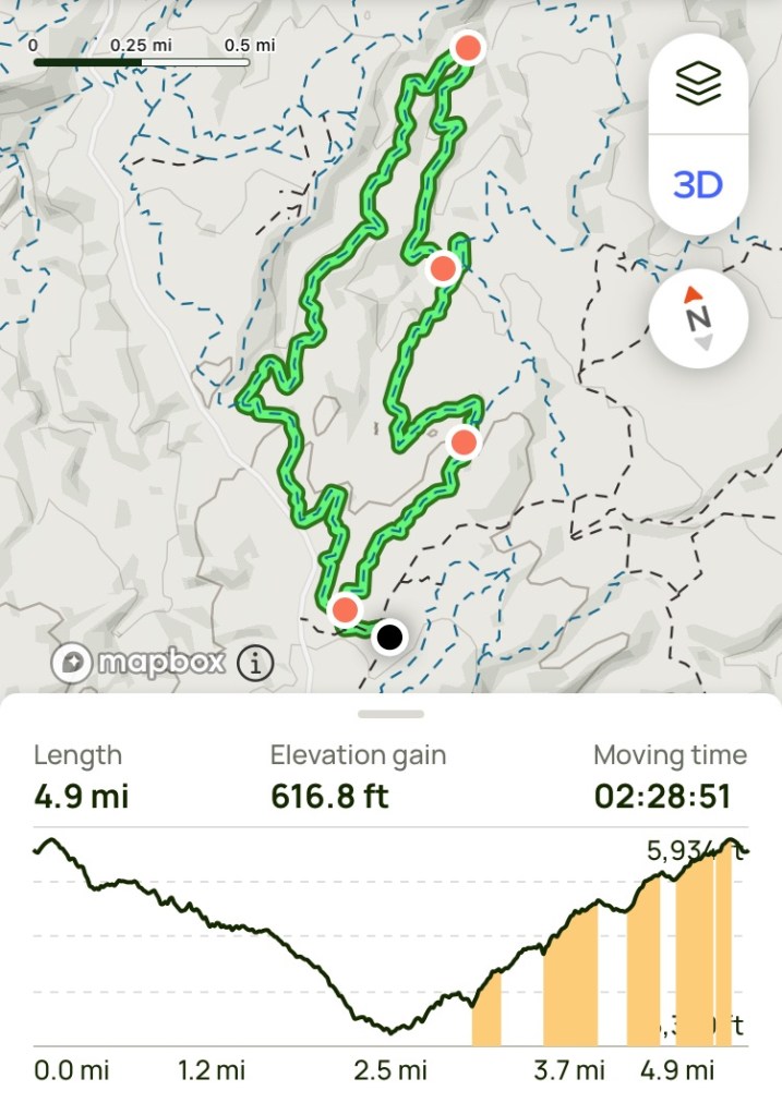
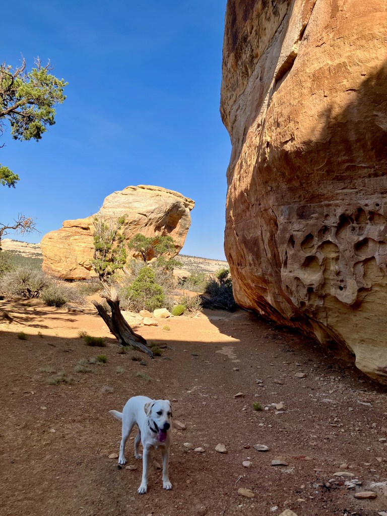
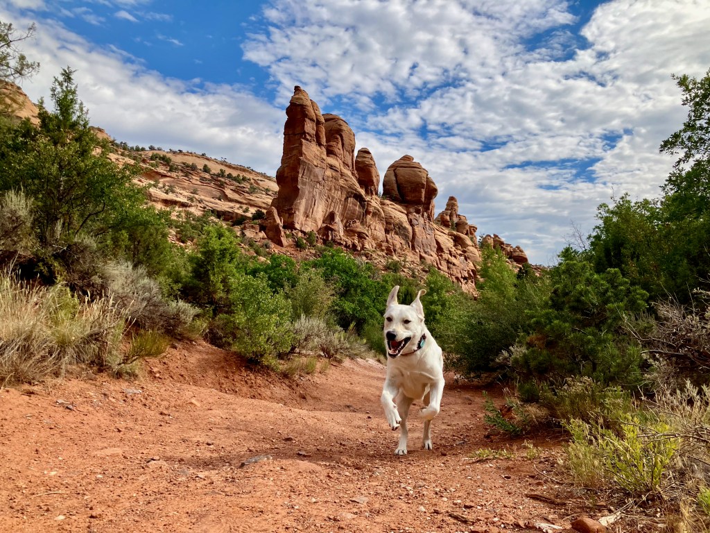
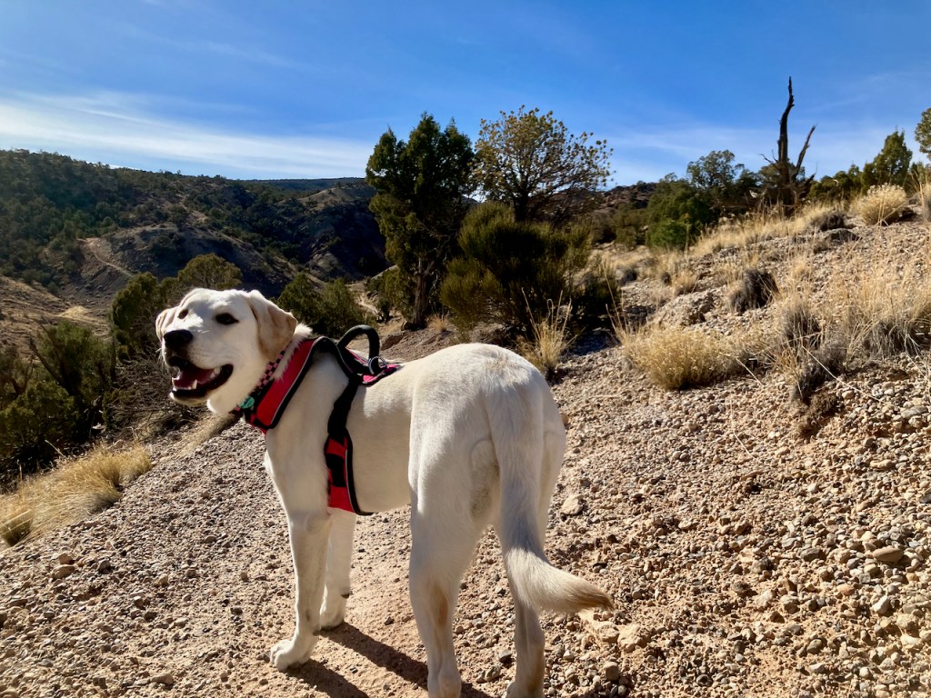
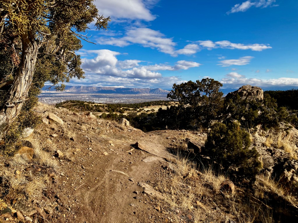
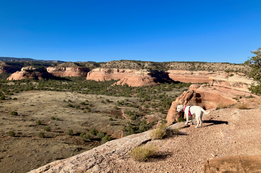
The Second Thoughts Twist-N-Shout Trail is another hike from the Lunch Loop Trail System of the Bangs Canyon Recreation Area, BLM. This moderate 4.9 mile 600+ vertical hike provides almost a constant view of the Grand Valley. I started this hike from the Third Flat Trailhead, but it also appears you could park along the Little Park road and start. My first try for this hike was after a rainstorm which cut it short due to the heavy mud. My second try allowed me to complete the entire loop starting with the Second Thoughts route and then finishing with the Twist-N-Shout to complete the loop. The vertical does give you a serious workout. My recent hike with my 7 month old Lab, Gracie, definitely wore her out. I was also surprised by the view of our new house in Spyglass Ridge to the north.
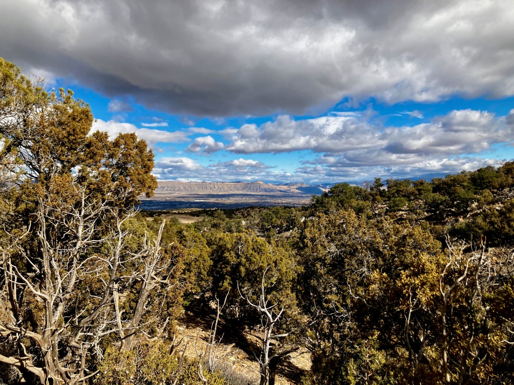
I also like the view over to the Black Ridge of Colorado National Monument.
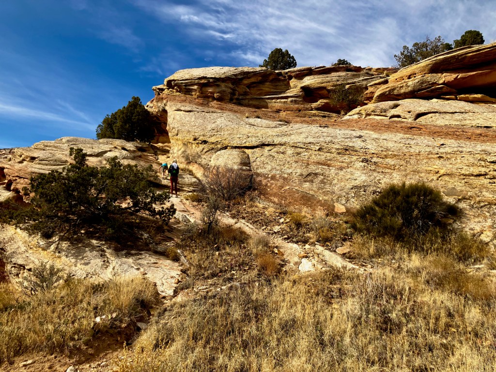
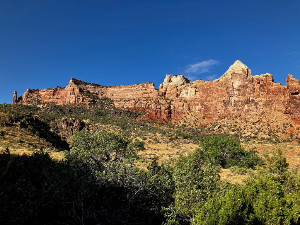
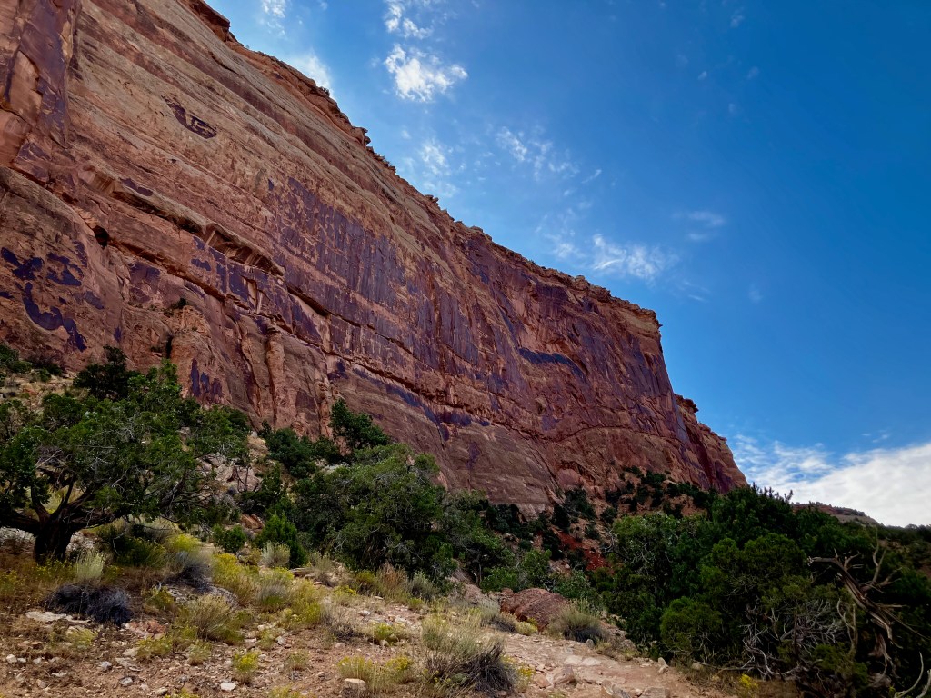
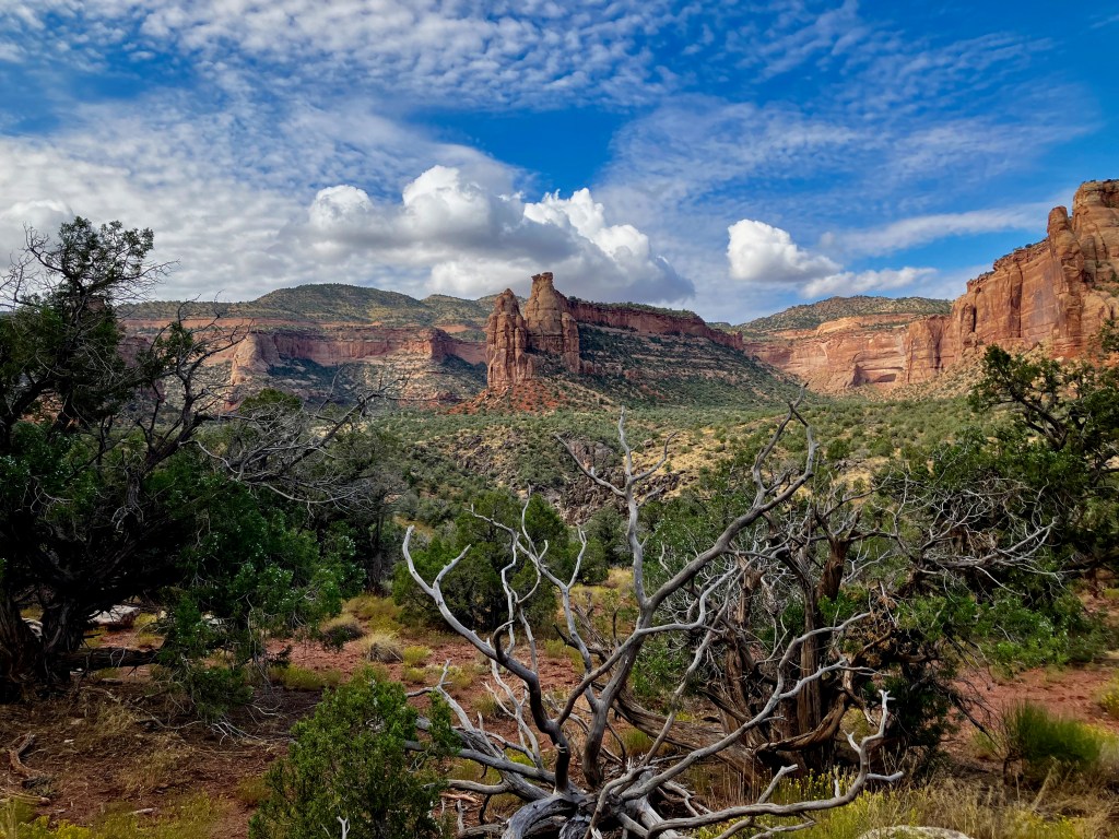
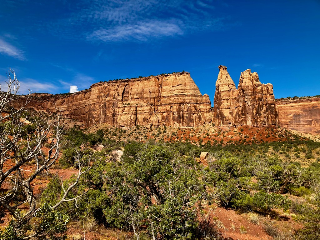
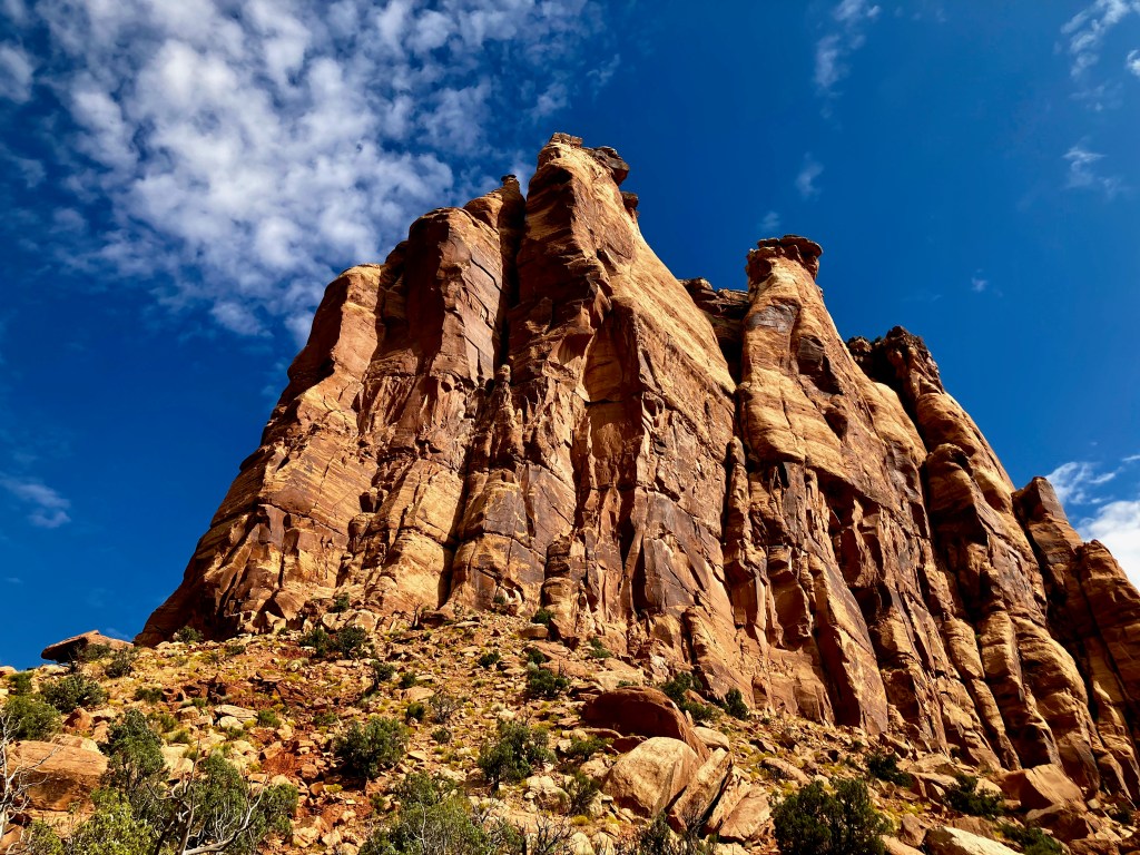
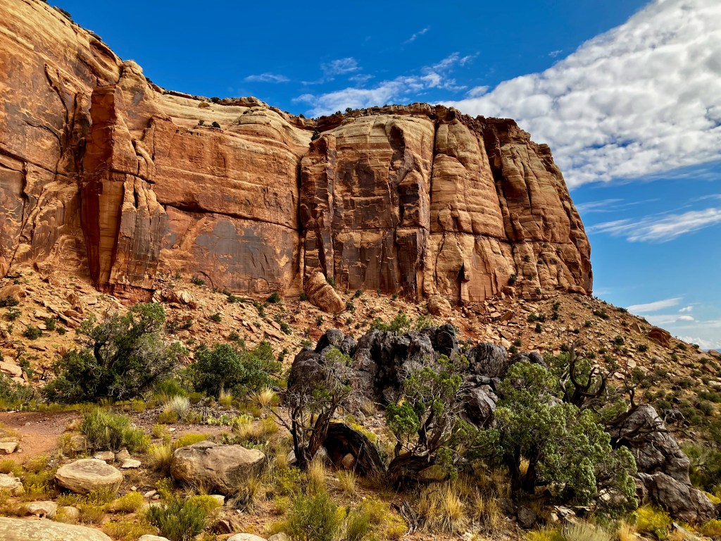
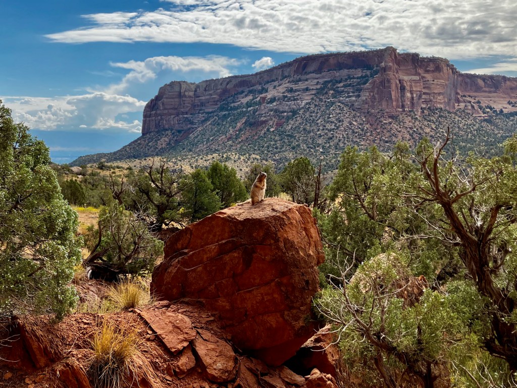
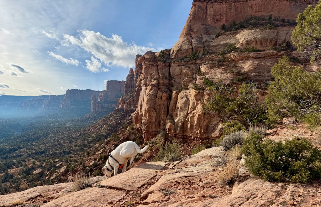
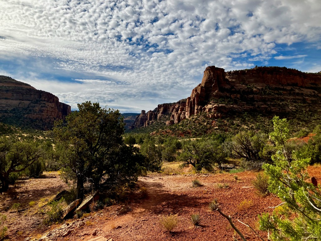
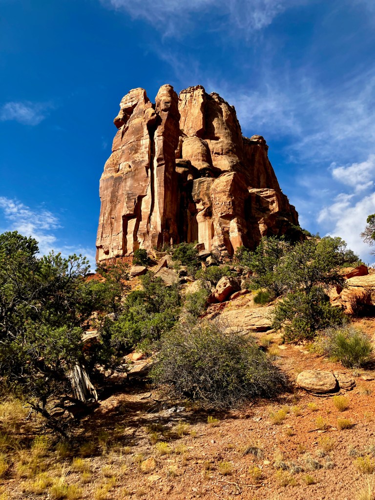
Monument Canyon Loop Trail, 5 miles 750′ vertical
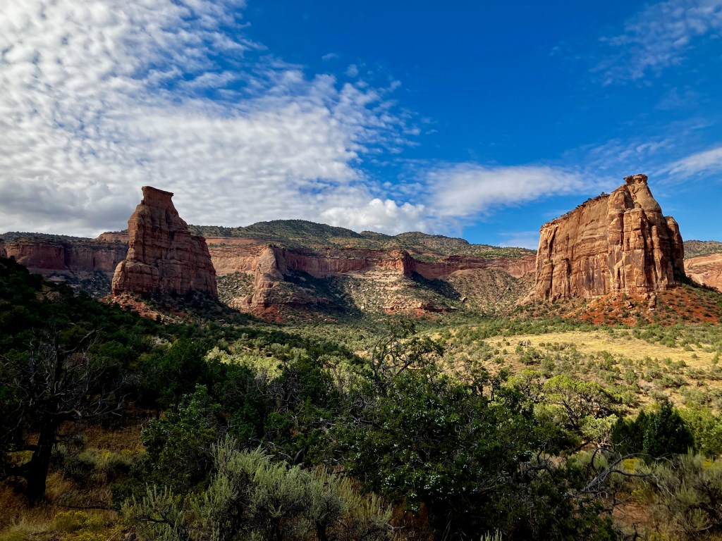
The Monument Canyon Loop Trail gives you access to the amazing rock sculptures that you typically take in from the road above through the Colorado National Monument.
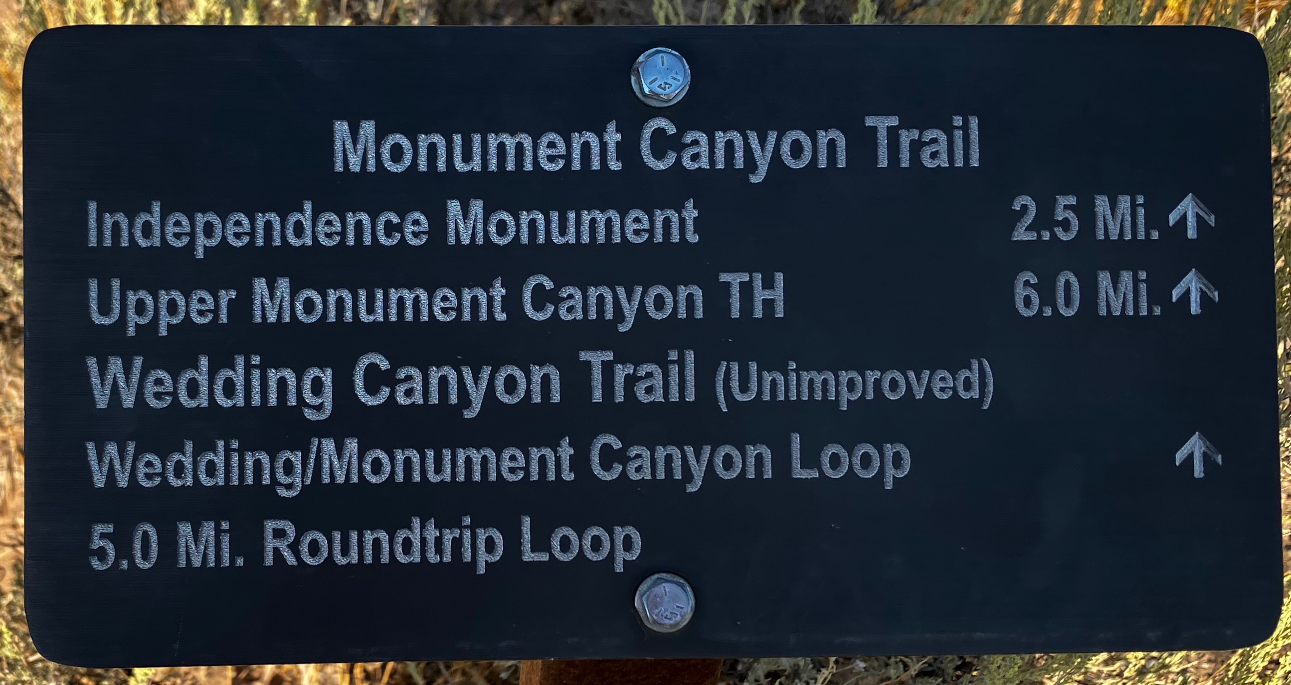
The loop is created by combining the trail to Independence Monument and the Unimproved Wedding Canyon Trail. I believe starting the loop counterclockwise with the Wedding Canyon Trail is the most scenic direction. The term “unimproved” is apt, with a few steep sections that slow you down a bit but are not a problem. There are magical views as you approach the Independence Monument section of the loop. This hike takes you below a number of scenic overlooks used by visitors to the National Monument. The photos follow the counterclockwise direction of the loop.
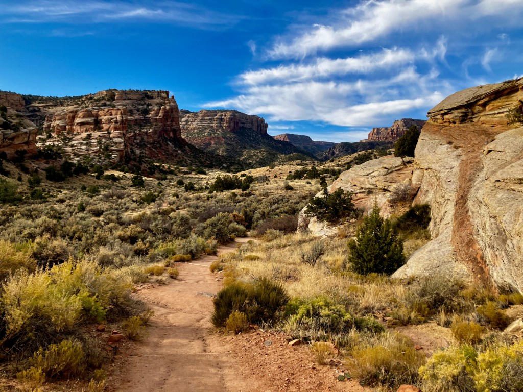
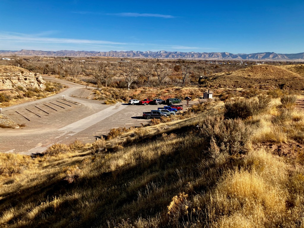
Devil’s Canyon D1 and D7 Loop
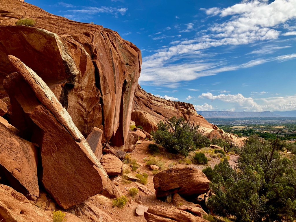
The Devil’s Canon D1 to D7 Loop was 5.2 miles and 679′ vertical when I hiked it. It is accessed from the very popular Devil’s Canyon Trailhead in the McInnis Canyons National Conservation Area. The main hike that I started on was the Devil’s Canyon Trail, but I have come to appreciate all of the D Numbered Trails that are to the west of Devil’s Canyon. In fact, there are various connector trails over to the Pollock Bench Trails.
The D1 trail can take you to the Devil’s Canyon trail or it will take you to a western side overlook of the canyon, which is spectacular. However, the D1 trail climb is all uphill with a final climb up and over a pass that puts you on the D7 trail. There are many unique rock formations and great views of the Fruita end of the Grand Valley along the climb.
The mini pass over to the D7 trail which is a bit steep reminded me of the many passes I have conquered in my backpacking adventures.
This is the high point so it is all downhill from here. The D7 trail provides more valley views along with more unique rock formations as you head back to the trailhead from the west.
Pollock Bench Trail, 7 miles 920′ vertical
The Pollock Bench Trail is a 7 mile loop with 900+ vertical just east of Devils Canyon is accessed from the Pollock Bench Trailhead. This easy hike offers the different perspective of being above the canyons with great views of the Grand Valley. You are more exposed on this hike so ideal to hike this in the Spring or Autumn. The early part of the hike hits you with most of the climb and the best views of the Grand Valley.
The loop portion of the hike walks you around the top of various canyons that offer unique stone sculptures.
The last portion of the loop offer views back toward Devils Canyon.
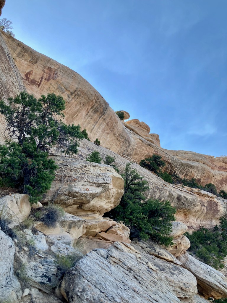
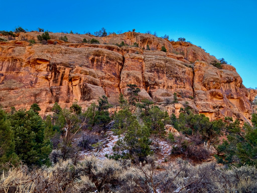
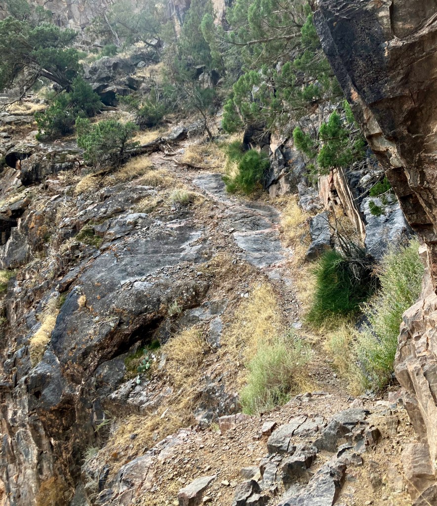
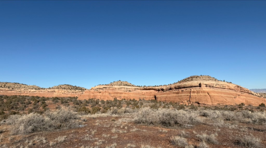
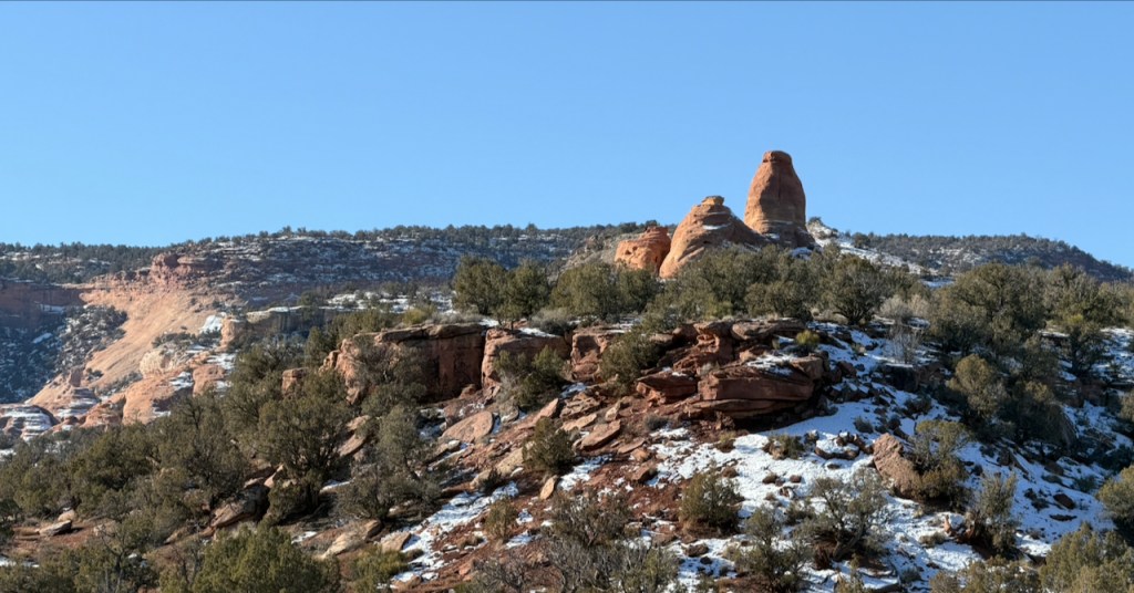
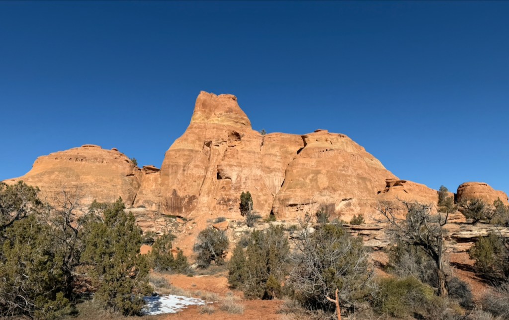
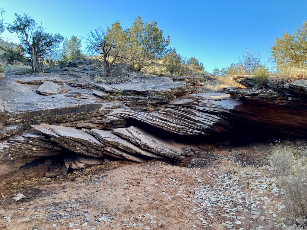
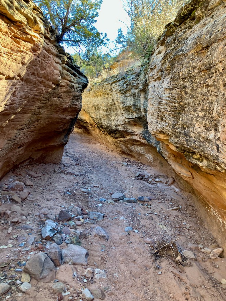
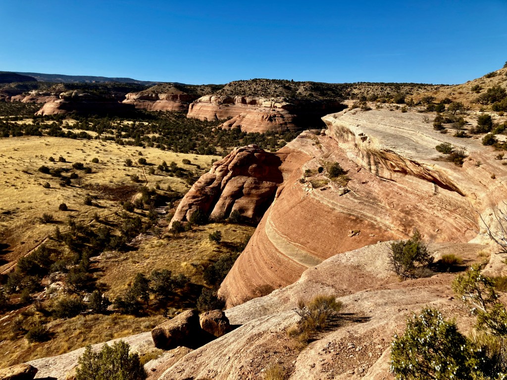
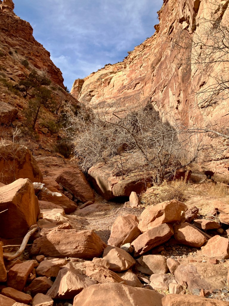
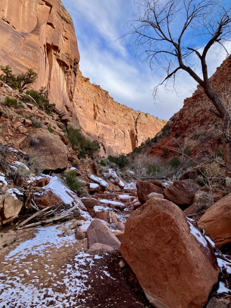
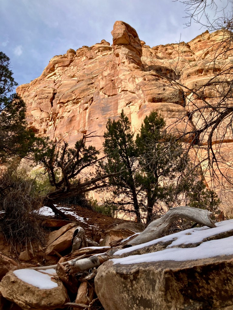
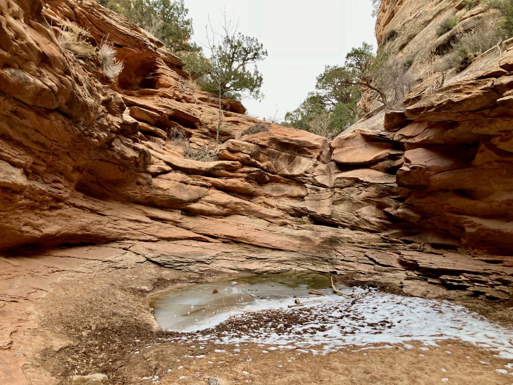
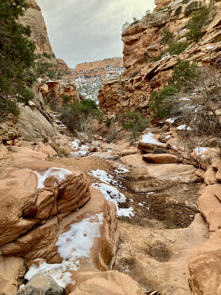
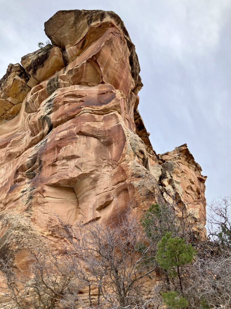
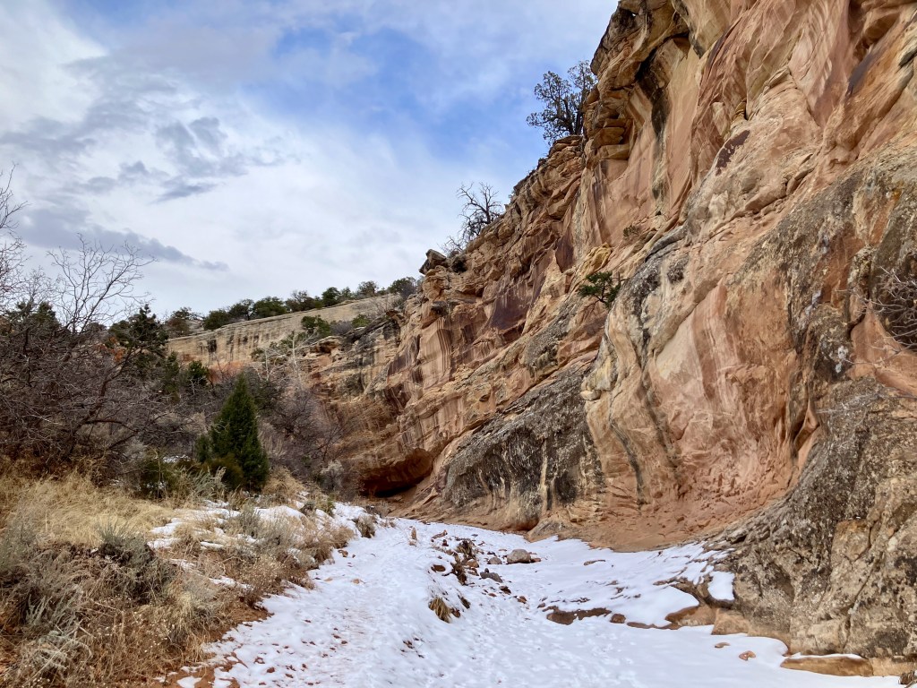
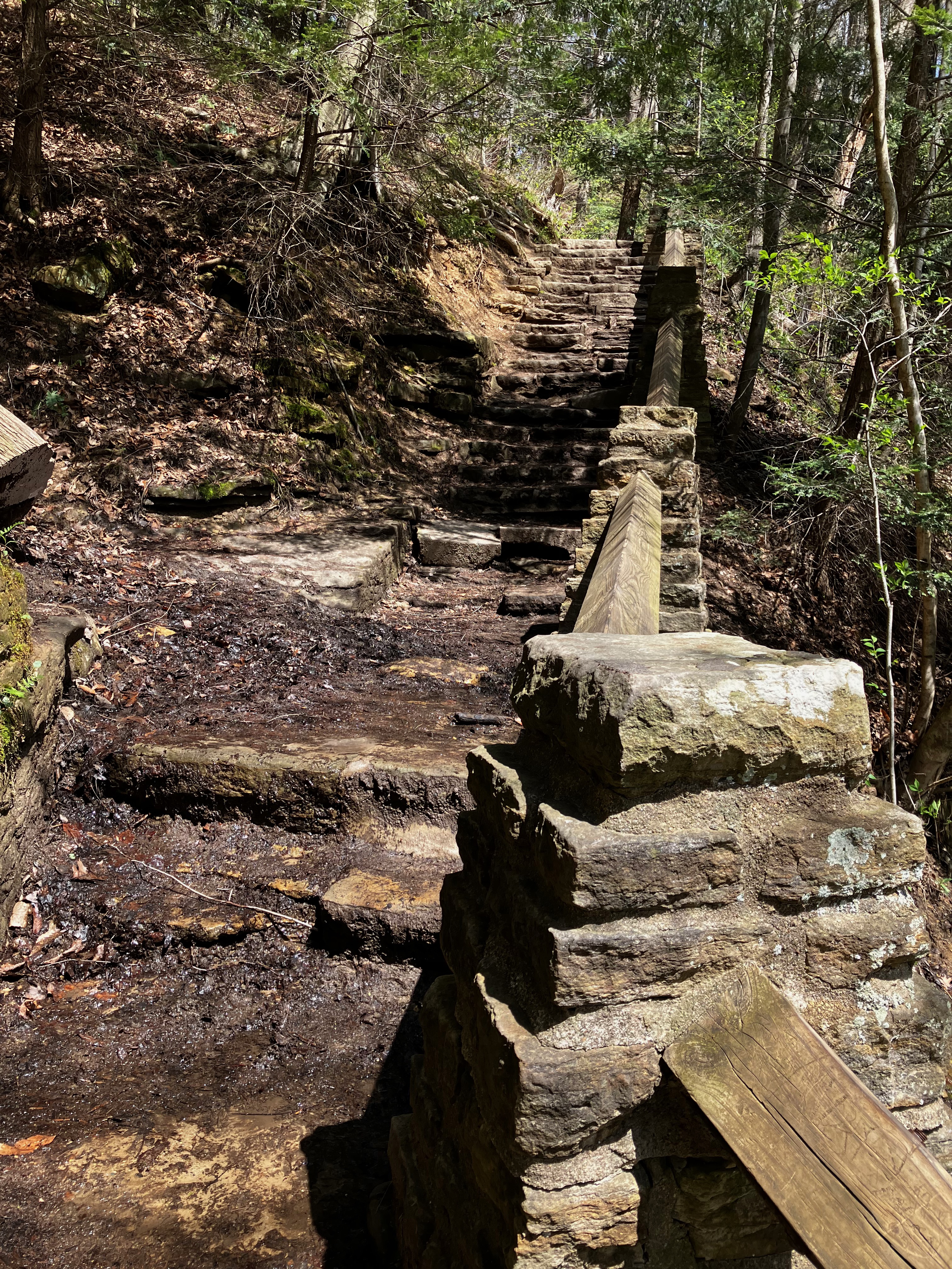
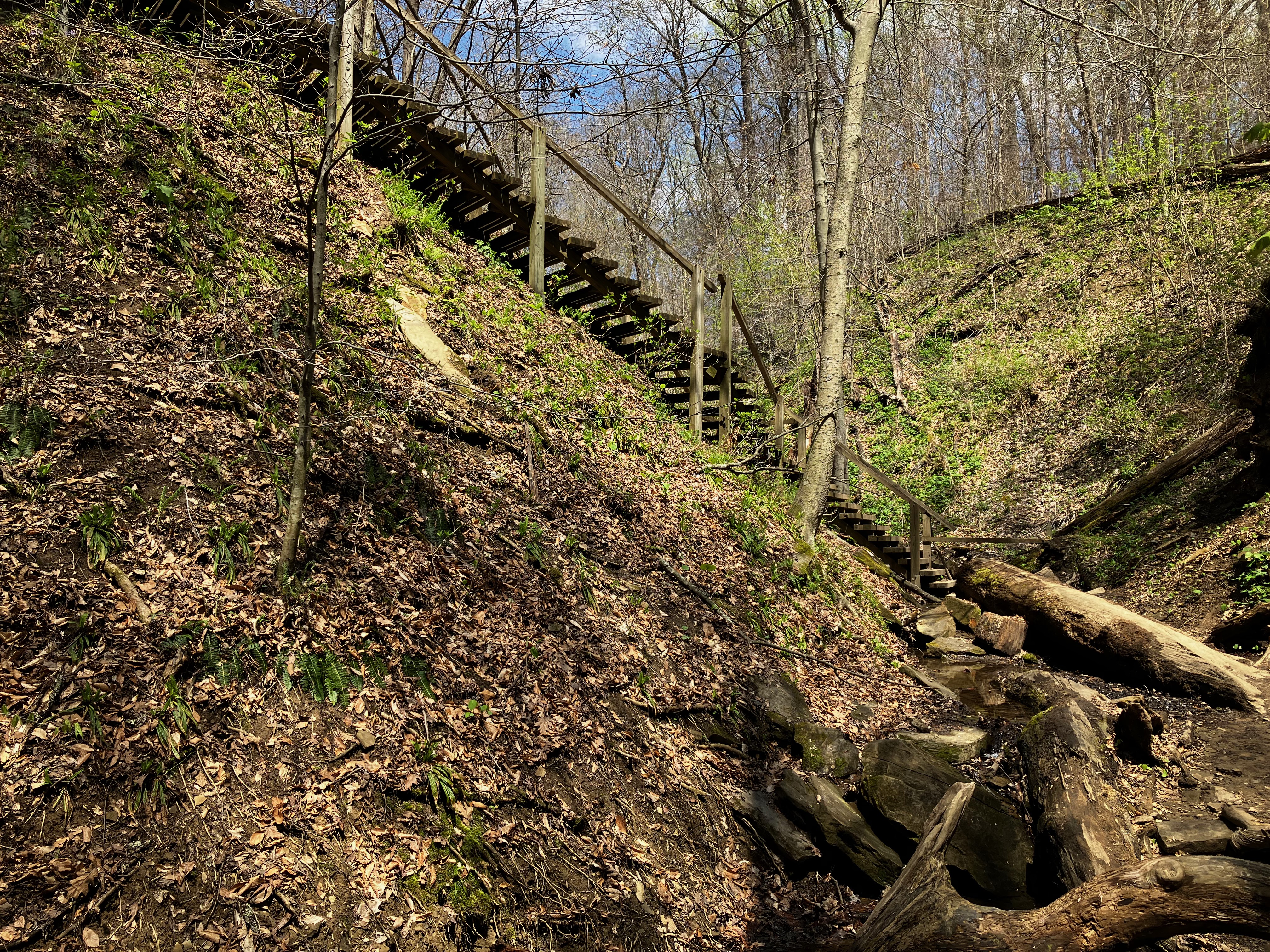
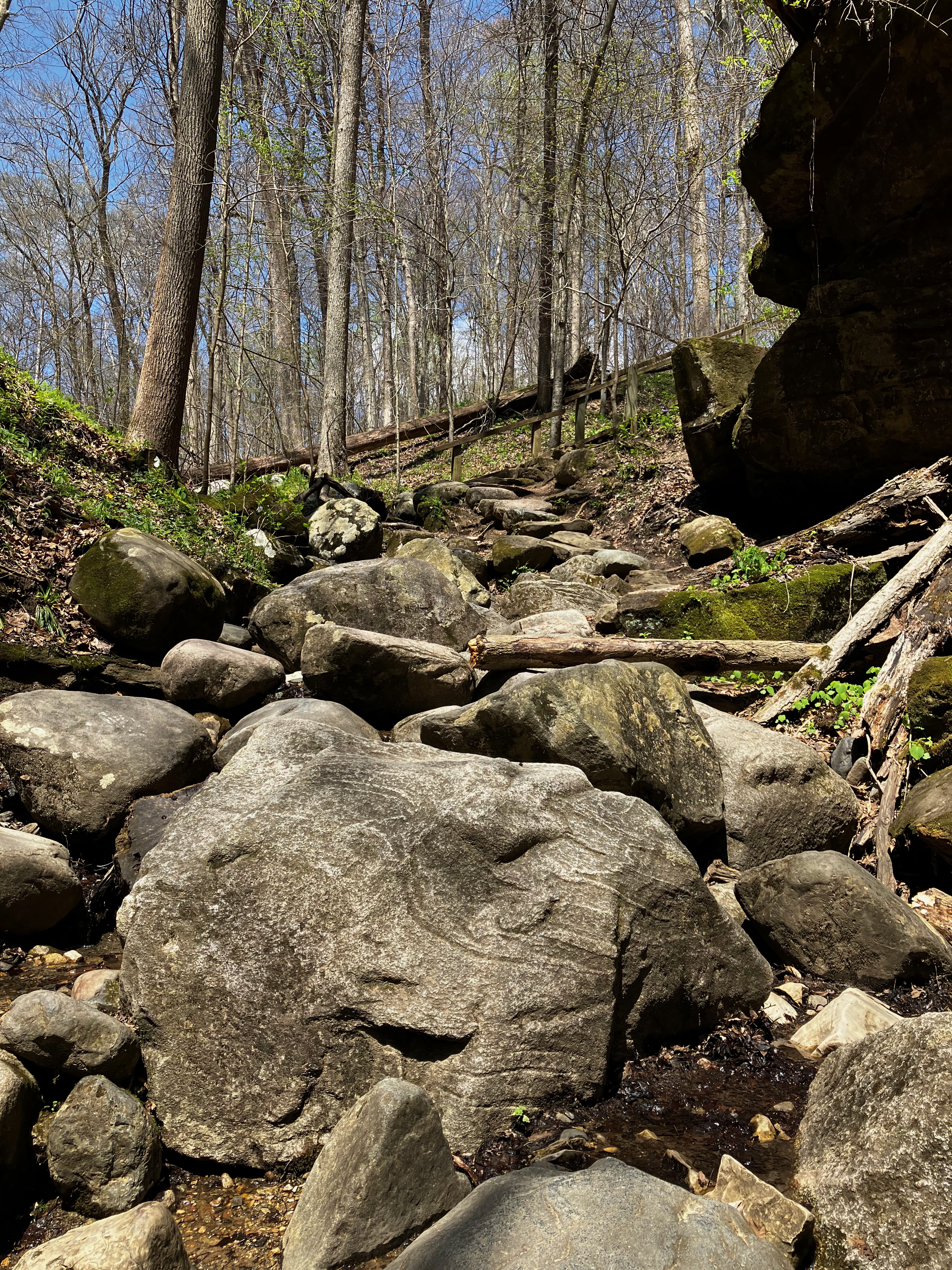
Rough Canyon Loop Trail, 4.5 miles 900′ vertical
I enjoyed the Mica Mine trail so much I wanted to go back to take on the Rough Canyon Loop from the same trailhead. This 4.5 mile trek is listed as moderately challenging but I would categorize the canyon portion as difficult. You want to do this hike clockwise which means you start out going down the ATV road which is above the canyon to the north. This first half of the hike is easy with good views of the Grand Mesa. This trail also accommodates ATVs until you begin the return up the Rough Canyon.
The Rough Canyon return begins with a shift to a less travelled trail that comes upon a sculpted rock trail and scenery. But then you enter into the canyon which on this day in December had a white coat of snow.
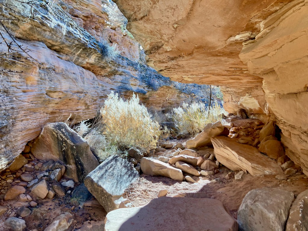
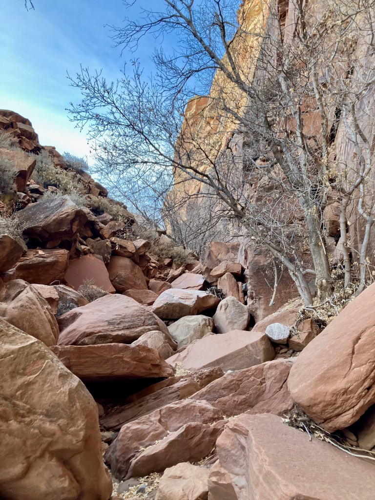
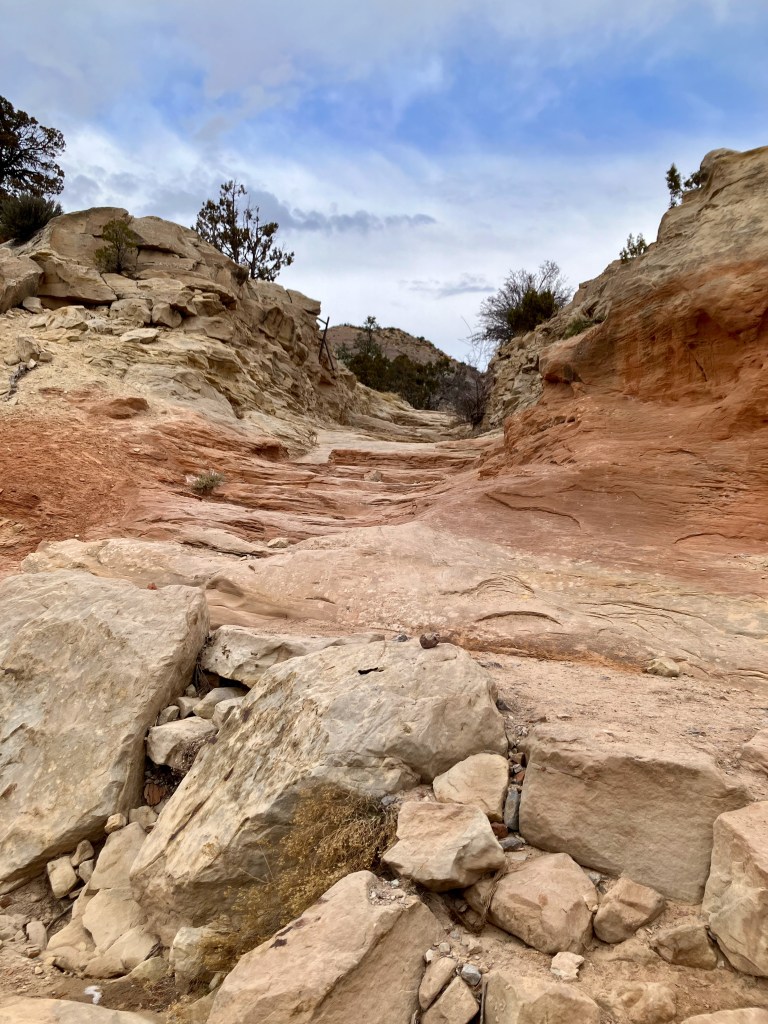
The canyon then presents you with one challenging section after another typically requiring you to select the correct route around blocking boulders. If you choose the wrong way just turn around and try another. Lots of 4-5′ boulder climbs which tends to really wear you out.
As you start to approach about a mile from the end you come upon a a canyon obstruction that can’t be climbed over. Then you see stairs leading off to the left which looks like it means traversing along narrow ledges above the unpassable waterfall type area. It does turn out to look worse then it is, but you need to call on your no fear of heights mentality.
The trail goes back to typical boulder climbing, but it does begin to broaden out as you near the finish.
Slideshow Below
Overall a good hike that does push you physically.
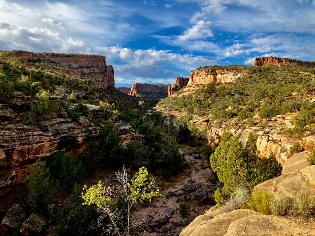
Devils Canyon Loop Trail, 7 miles 800′ vertical
I needed a trail that would push me enough to validate whether I was ready for more serious hikes and backpacking trips in the mountains. The Devil’s Canyon Loop Trail located in the McInnis Canyons National Conservation Area ended up being 8 miles with about 900′ vertical, which when packaged with approaching storms, gave me just the test I needed. The lower portion of the trail before the loop is a nice hike, but the real magic is found on the upper portion.

I always lose the trail at about the 1.1 mile point where the D1 rejoins the Devils Canyon Trail. You need to drop down to the Devils Canyon Trail. However, you could just stay on the D1 trail and enjoy the great options of the D1, D4, D5, D6 and D7 trails (map right.
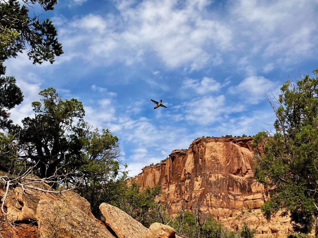
I had a close encounter with a hummingbird (photo below), which provided me with numerous amazing photos.
The old shed/cabin signifies the furthest point from the trailhead when I realized that the weather was changing more rapidly than I expected.
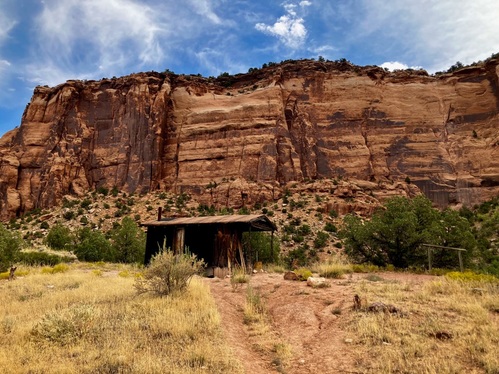
I had to rush back to the car, which was actually a perfect way to confirm that I was prepared to resume my old backpacking adventures. The Adventure Continues now.
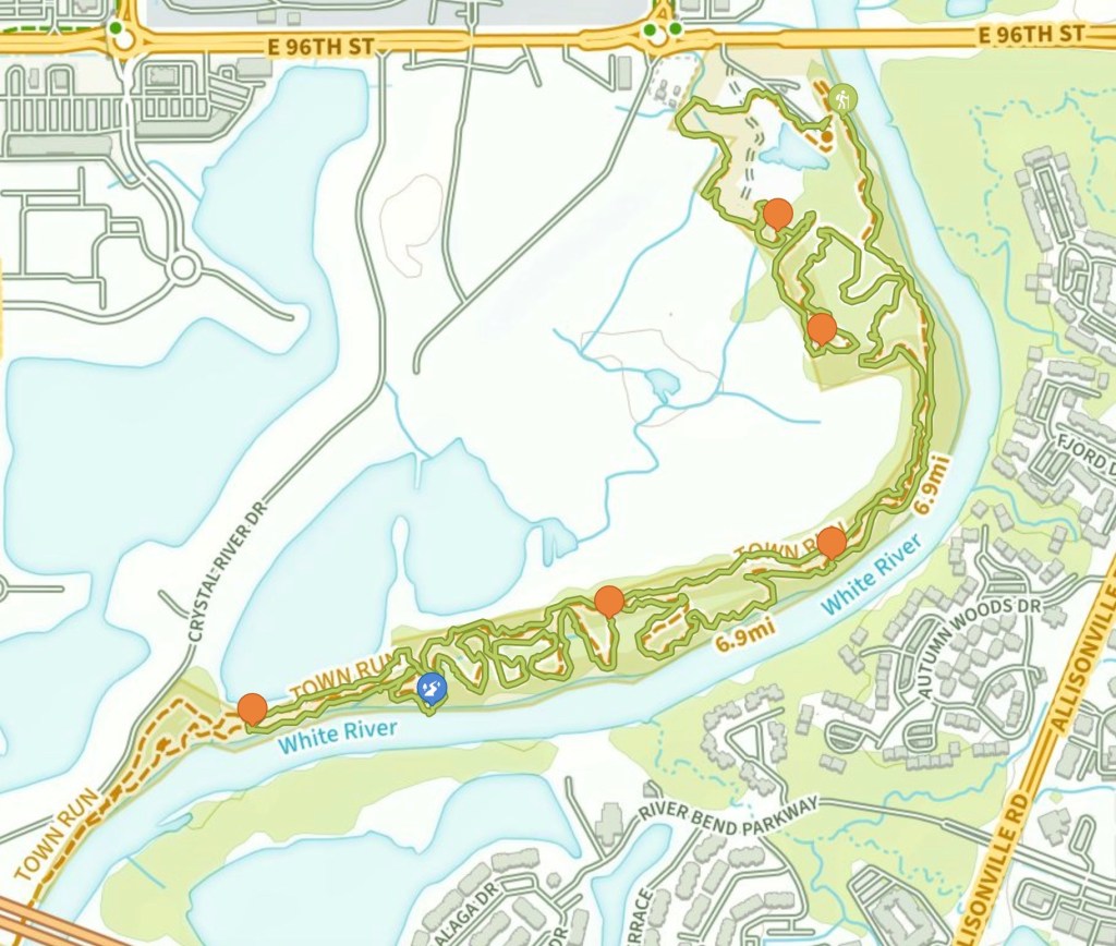
Town Run Trail Talking Tree Loop

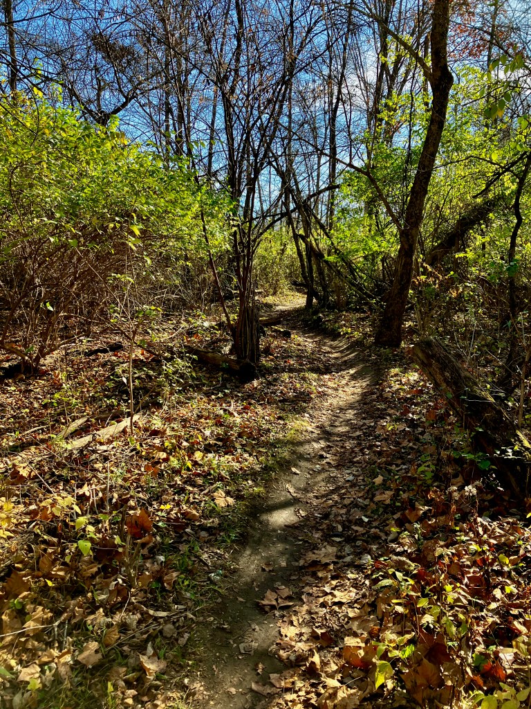
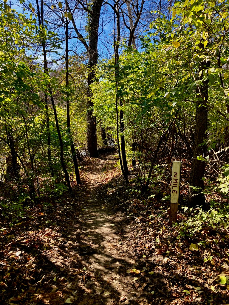
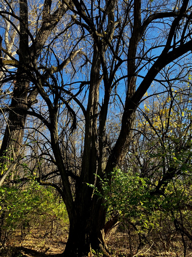
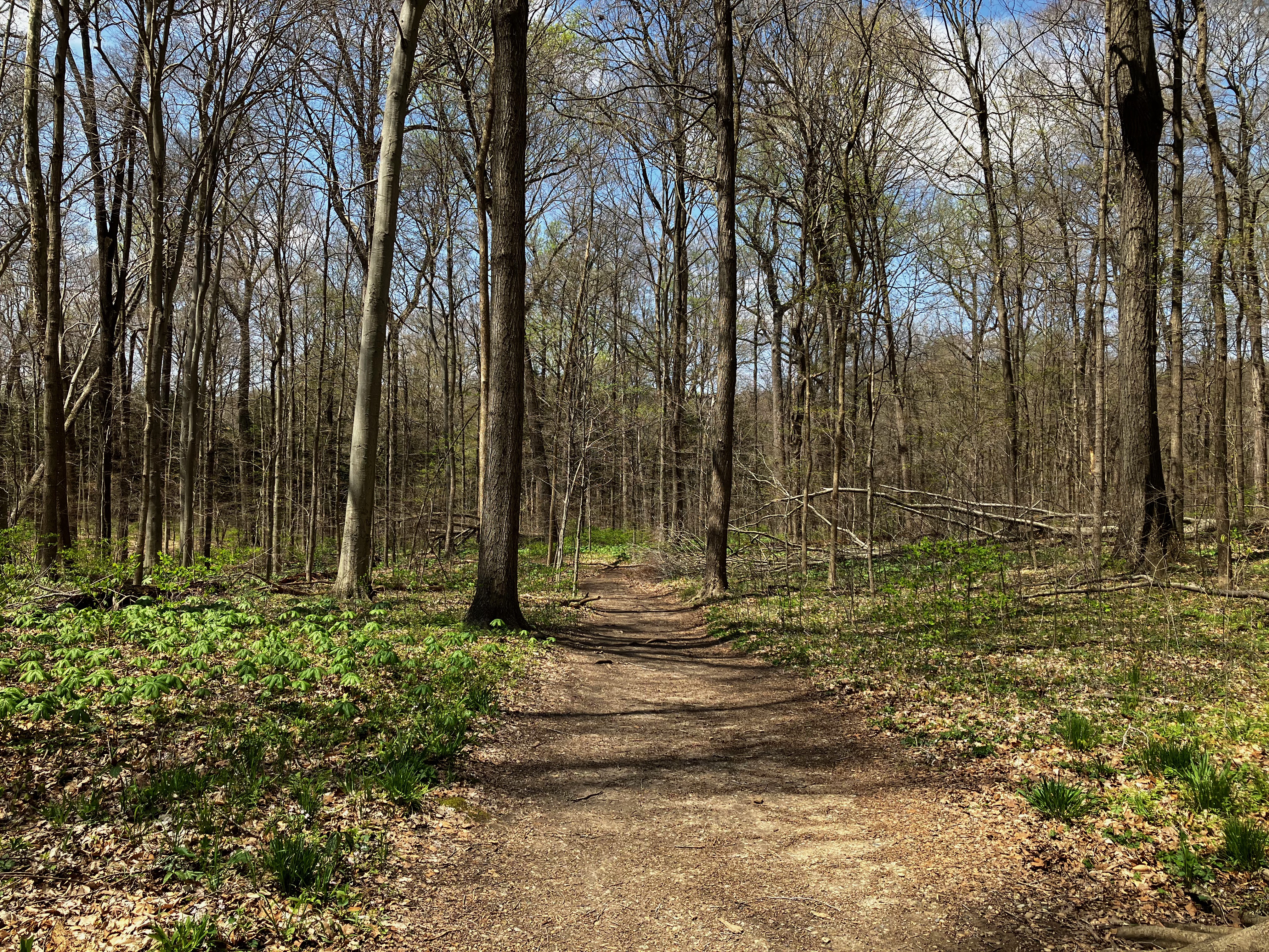
I found a new trail to hike today on the Northeast side of Indianapolis. The Town Run Trail is an excellent bike trail but it served me well for hiking on this beautiful Autumn day. Located between 96th and I465 along the White River, this trail has been optimized for off road bikers (so no headphones while hiking). The full trail is 6.6 miles but I cut it down to 4.4 miles by turning back at the Talking Tree. Remember this is a primarily a bike trail which is a one way trail out and back, which also means don’t jump the trail because you really don’t know which way it might be going. I captured my hike with my latest Beta Test version of the Natural Atlas App. My hike is named the Talking Tree Loop.
The Trailhead is just south of 96th on the westside of the White River. There is a nice parking lot at the trailhead.
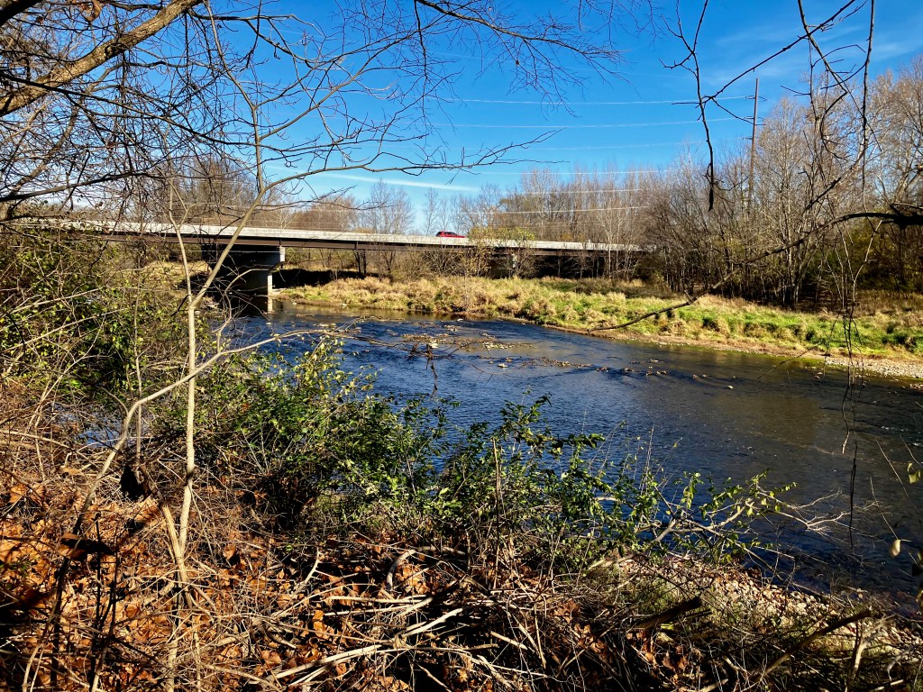

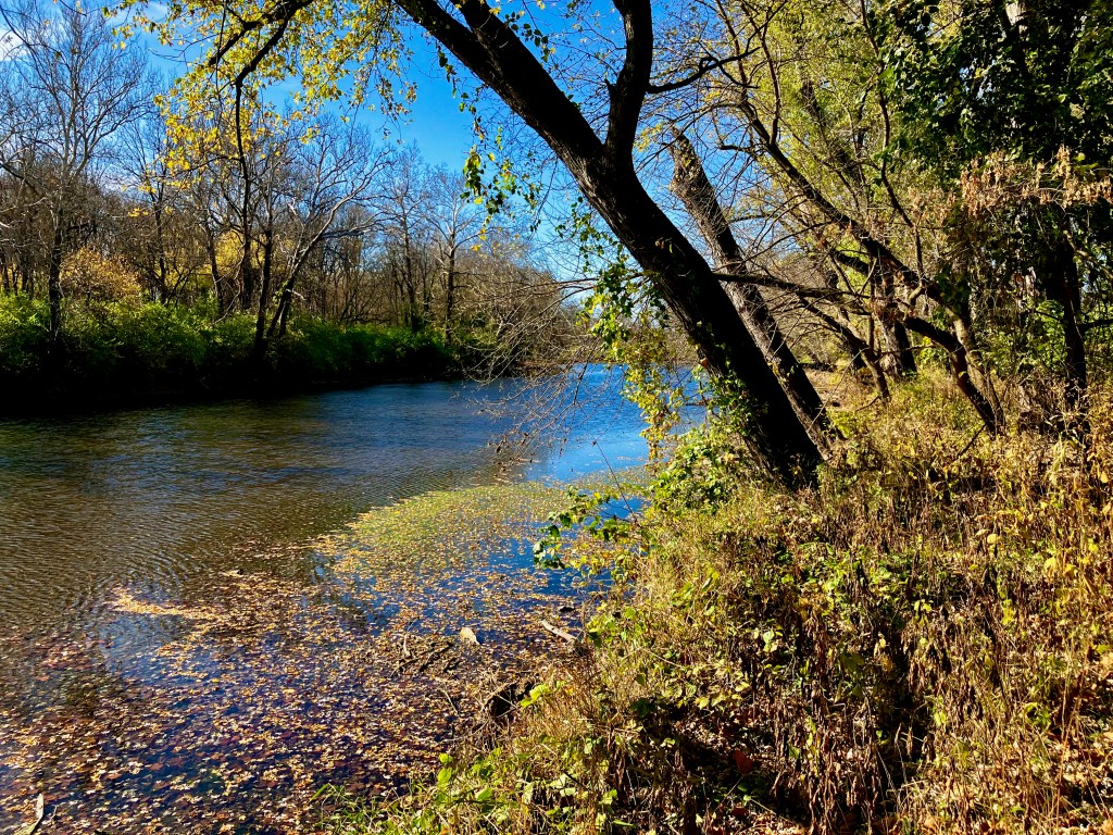
The trail is a very typical Indiana river corridor meandering along the White River near housing and industrial activity. I liked doing it after the leaves have fallen partly for awareness of bikers and partly to have a sense of where I was at.


The trail is designed for bikers so there are many alert signs announcing upcoming trail conditions for the bikers. There are also a few built up trail enhancements.

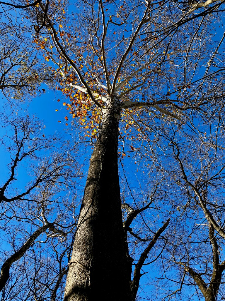
I do love the trees in Autumn.
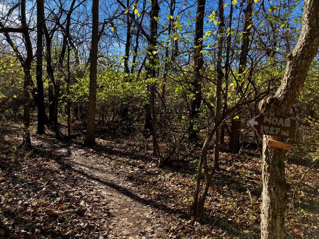
Since I am planning on moving to Grand Junction next year I appreciated this sign alerting me to how far it is to the finest bike trails in America,
I did see many squirrels and had a cool eye to eye contact with a large mule deer about 20 feet away from me. And of course the Talking Tree.


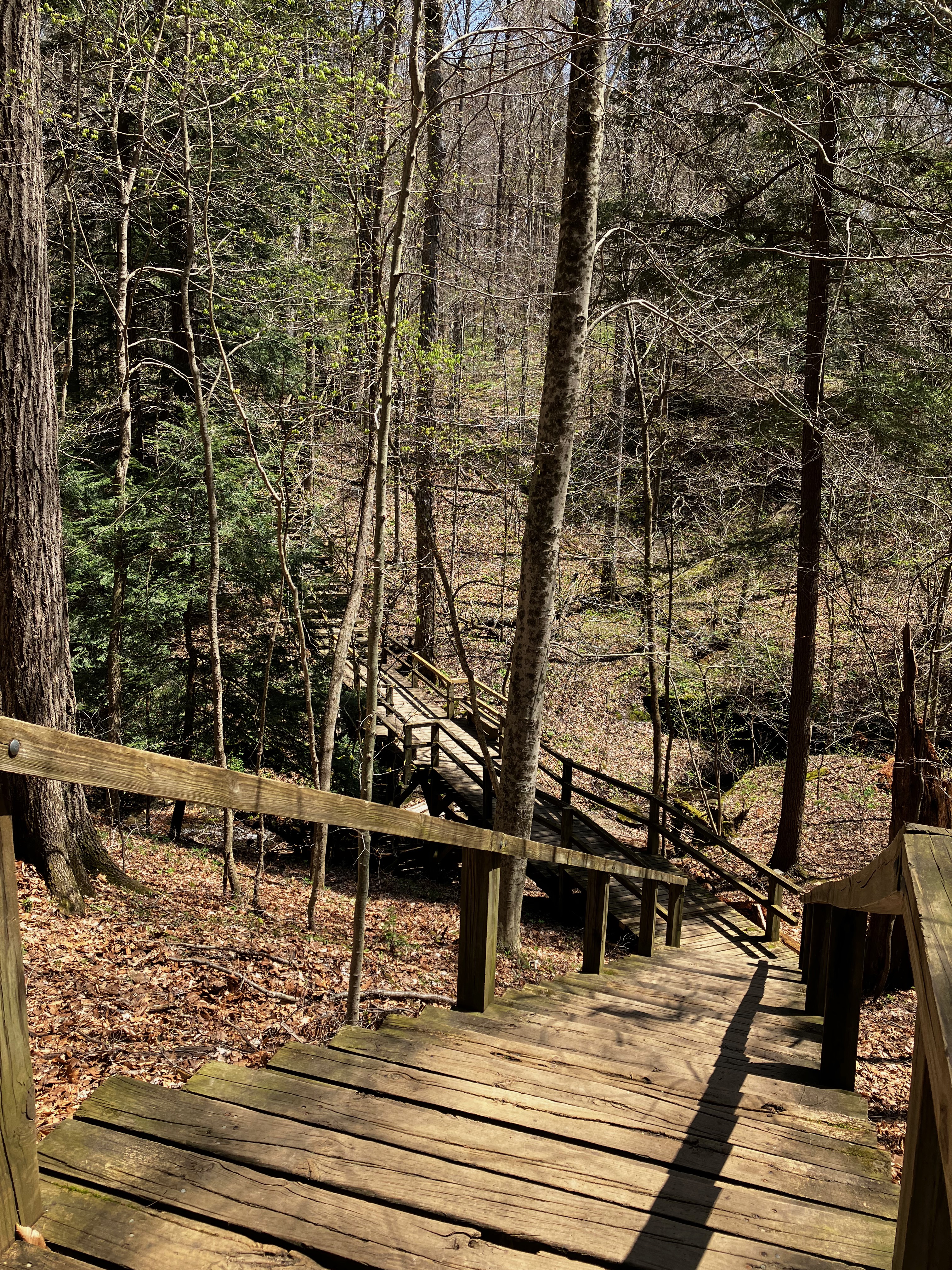
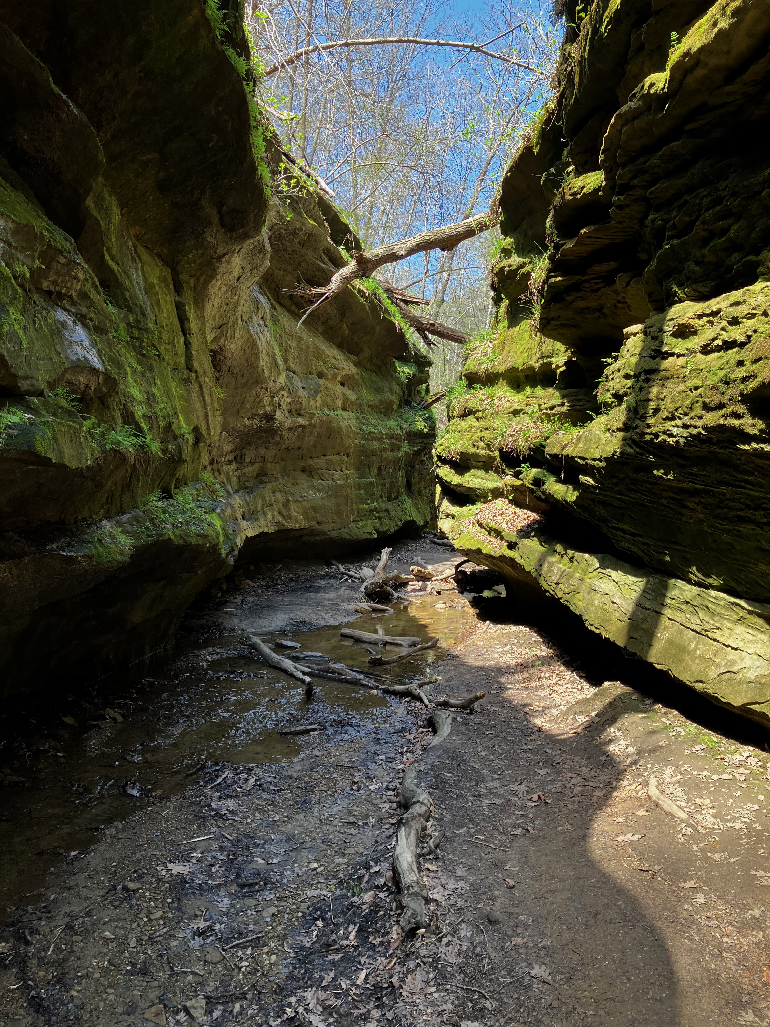
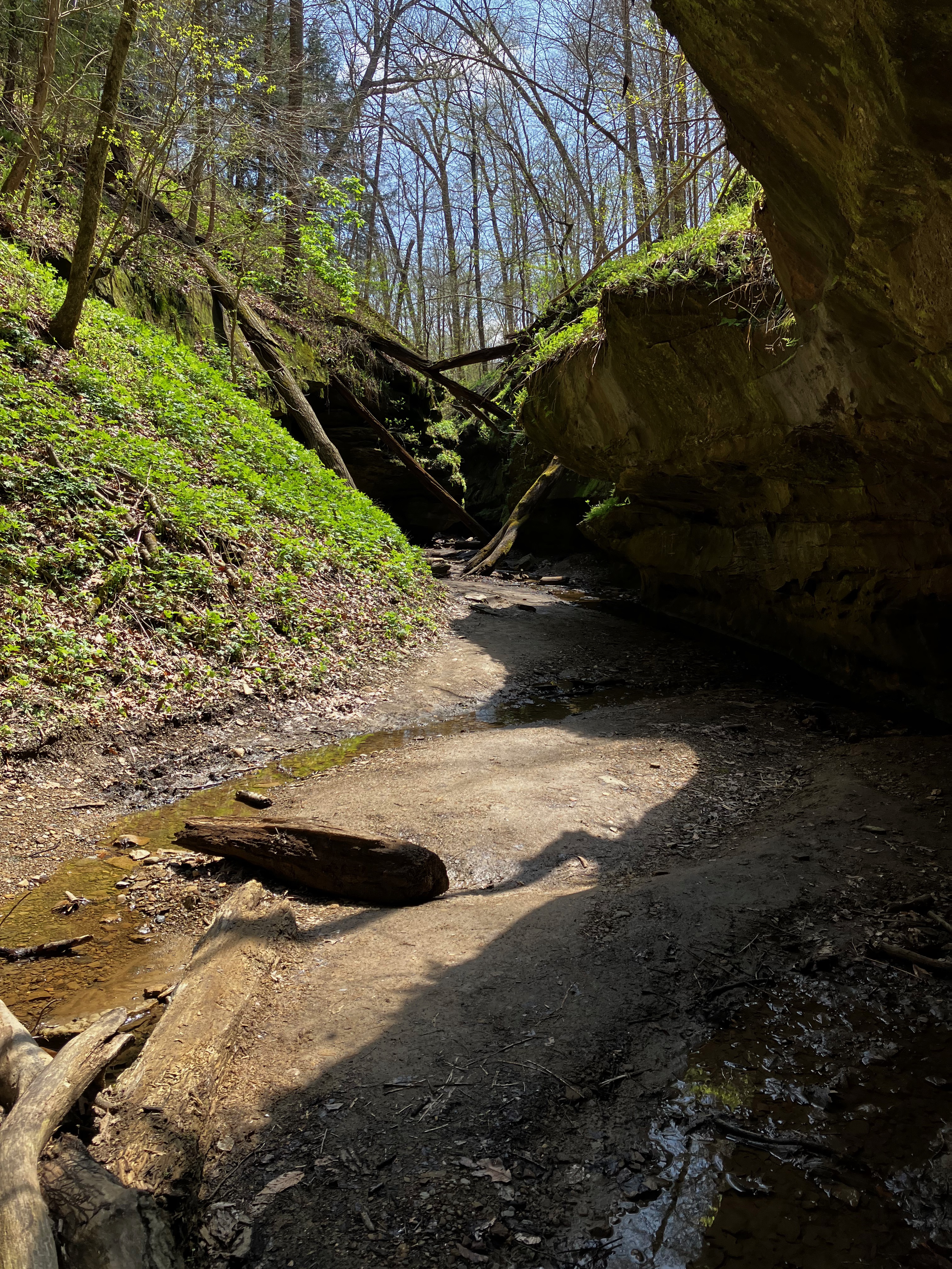
Turkey Run State Park
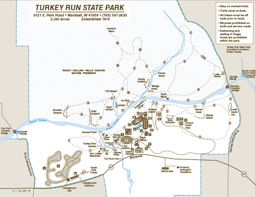
It is late April on a perfect weather day that I decided to visit Turkey Run, my favorite Indiana State Park when I was growing up. I was always impressed with the canyons cut through the limestone but I was worried that those canyons might seem smaller and less significant now that I am returning as an old man. But no, the park was all that I remembered it to be and even better hiking it on a perfect spring day. I will reference the trail map for perspective about my hiking path. I started at the Turkey Run Lodge which I have stayed at with my family back in the 90’s.
First I hiked down to Sunset Point past the Lieber Cabin, the best overlook of Sugar Creek

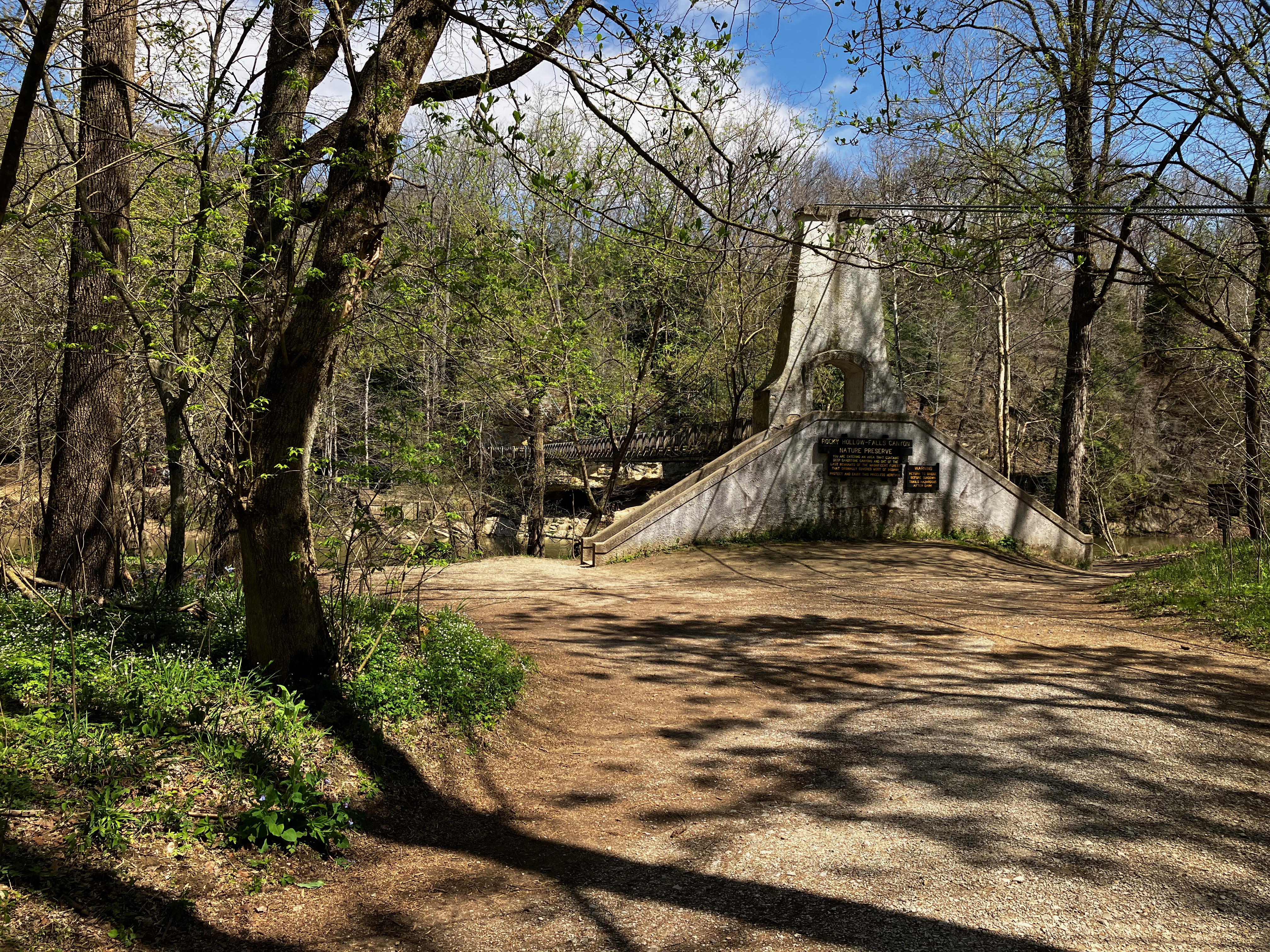
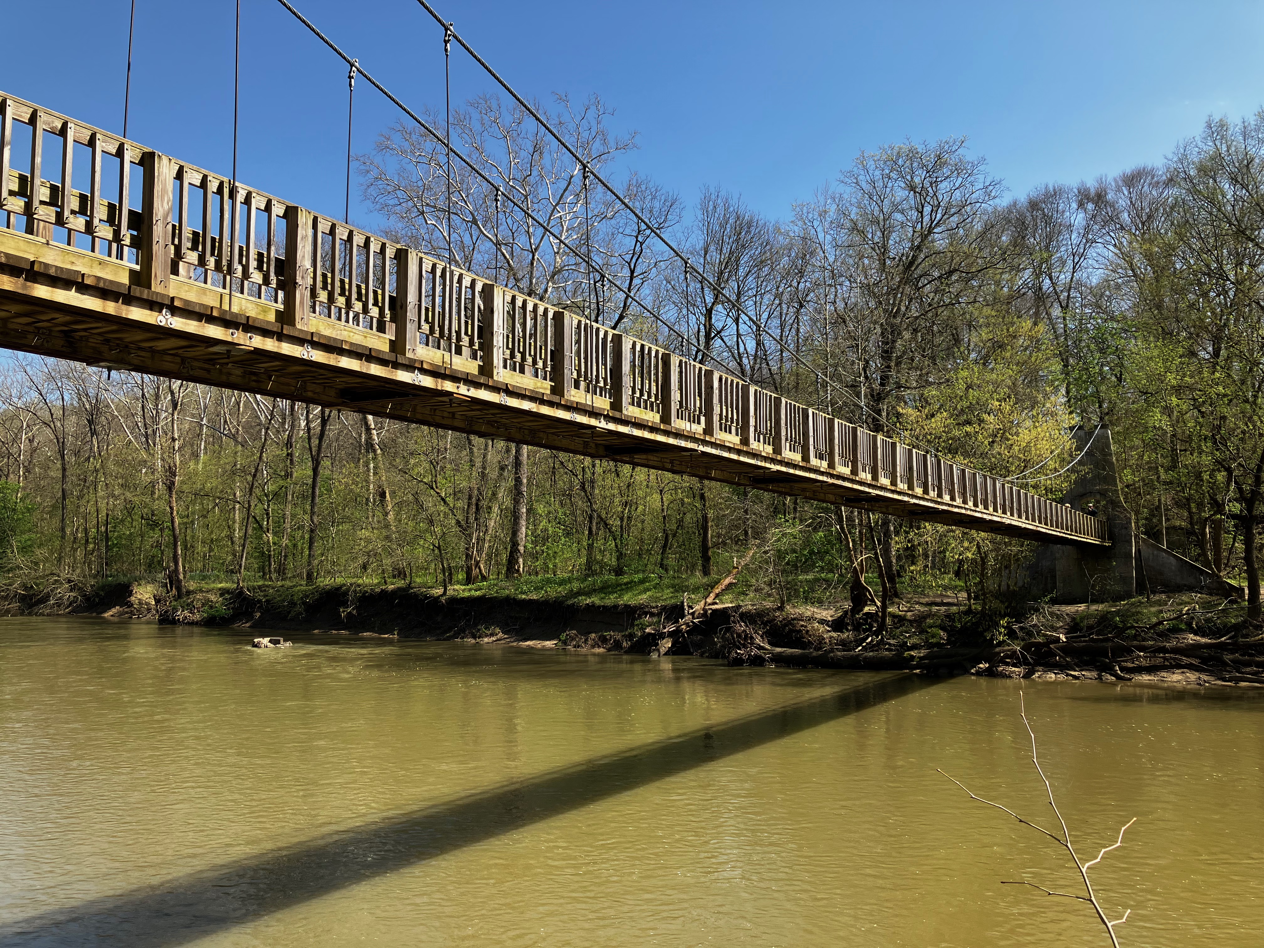
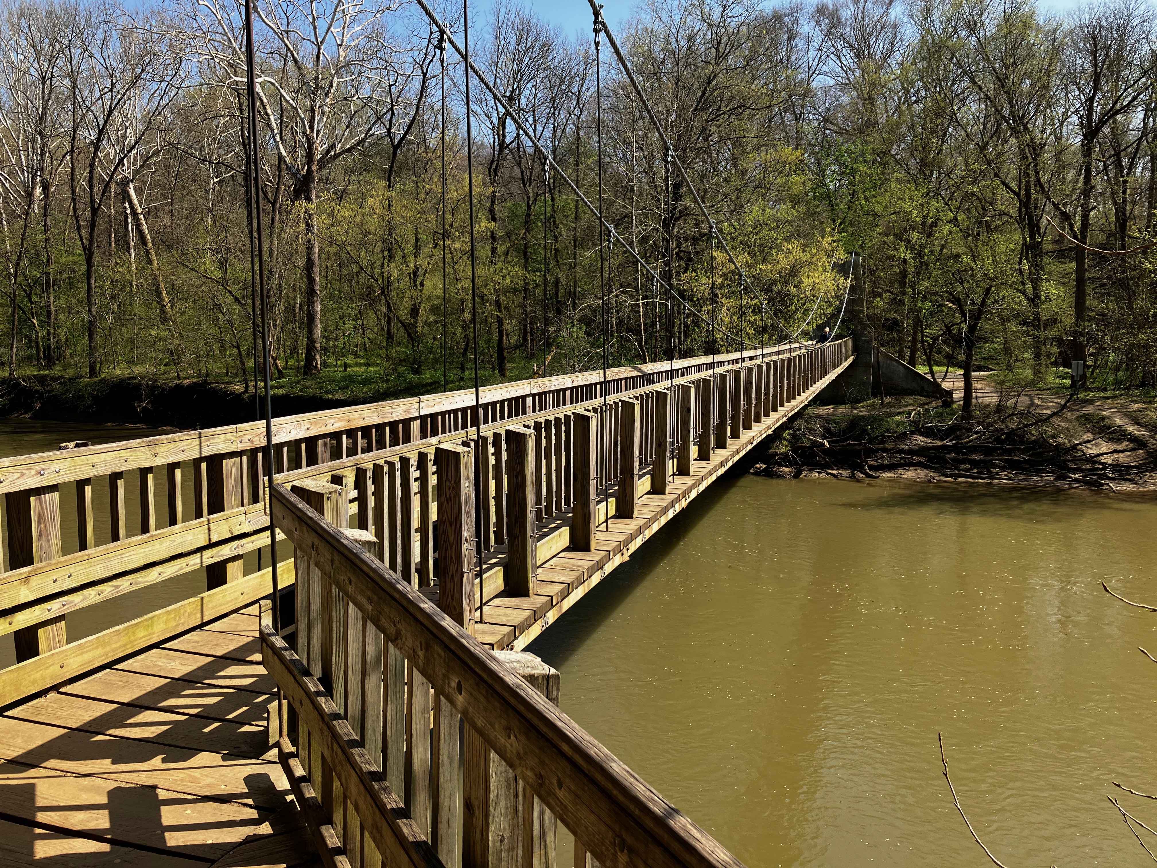
But the best trails are accessed via the suspension bridge over Sugar Creek.

The first trail leading from the suspension bridge is #10 that takes you up through one of the deeper canyons but ends up with a narrow trail up a creek bed. I actually decided that this portion of the trail was too dangerous for an old guy and I turned around to take on the next trail option.
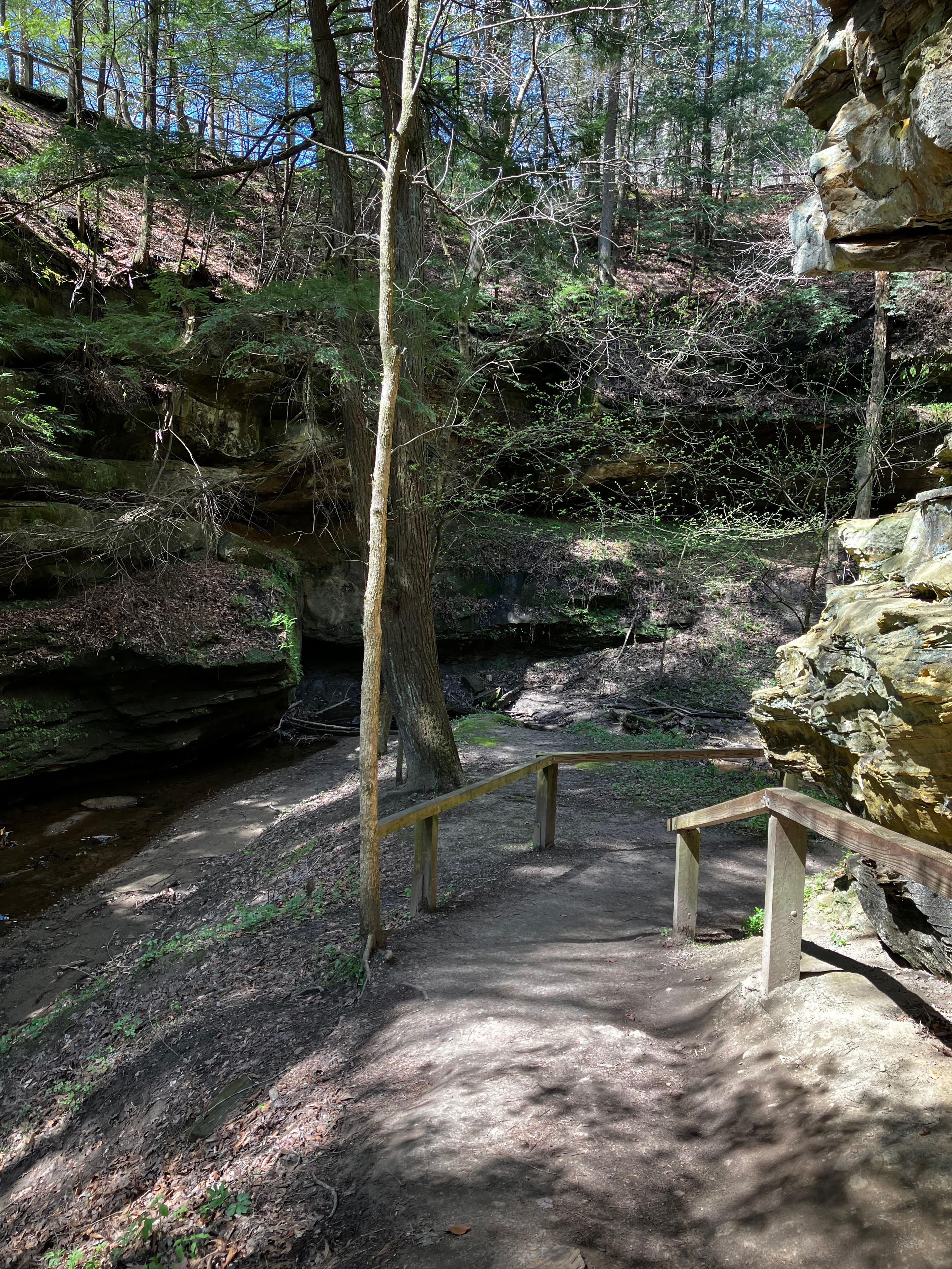


I next took on trail #3 that skirted the rocks near Sugar Creek heading over to the Ice Box. This is also where I started to experience the hundreds of steps that contributed to the overall day’s exercise.


I kept to the Creek by continuing on trail #5 and may more steps.

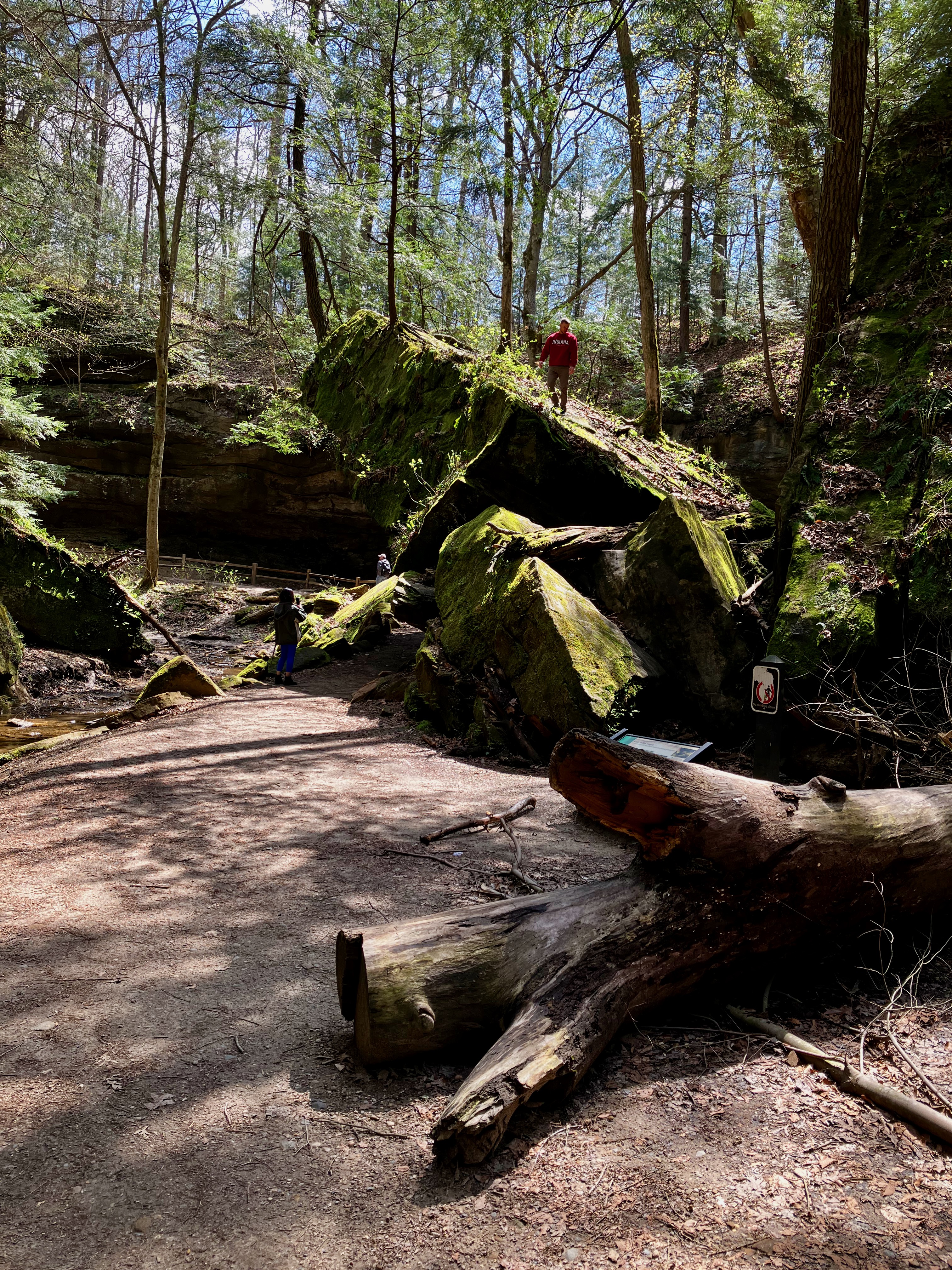
I decided to continue on to trail #9 to go up Falls Canyon and then over to Boulder Canyon.


Boulder Canyon reminded me of boulder jumping that you need to do on Pacific coastal hikes.


I hiked back down trail #5 to then go up to the Ladders portion of the park.


At the top of the ladders I proceeded on trail #3 crossing the upper trail #10 that I backed off from earlier.

At this point in the day I was feeling the miles and the vertical that I had hiked and I was ready to work my way back to the suspension bridge.
It was a great return to Turkey Run, probably the park that first helped me appreciate the wonders of hiking in the wilderness.

Eagle Creek Park Red Trail
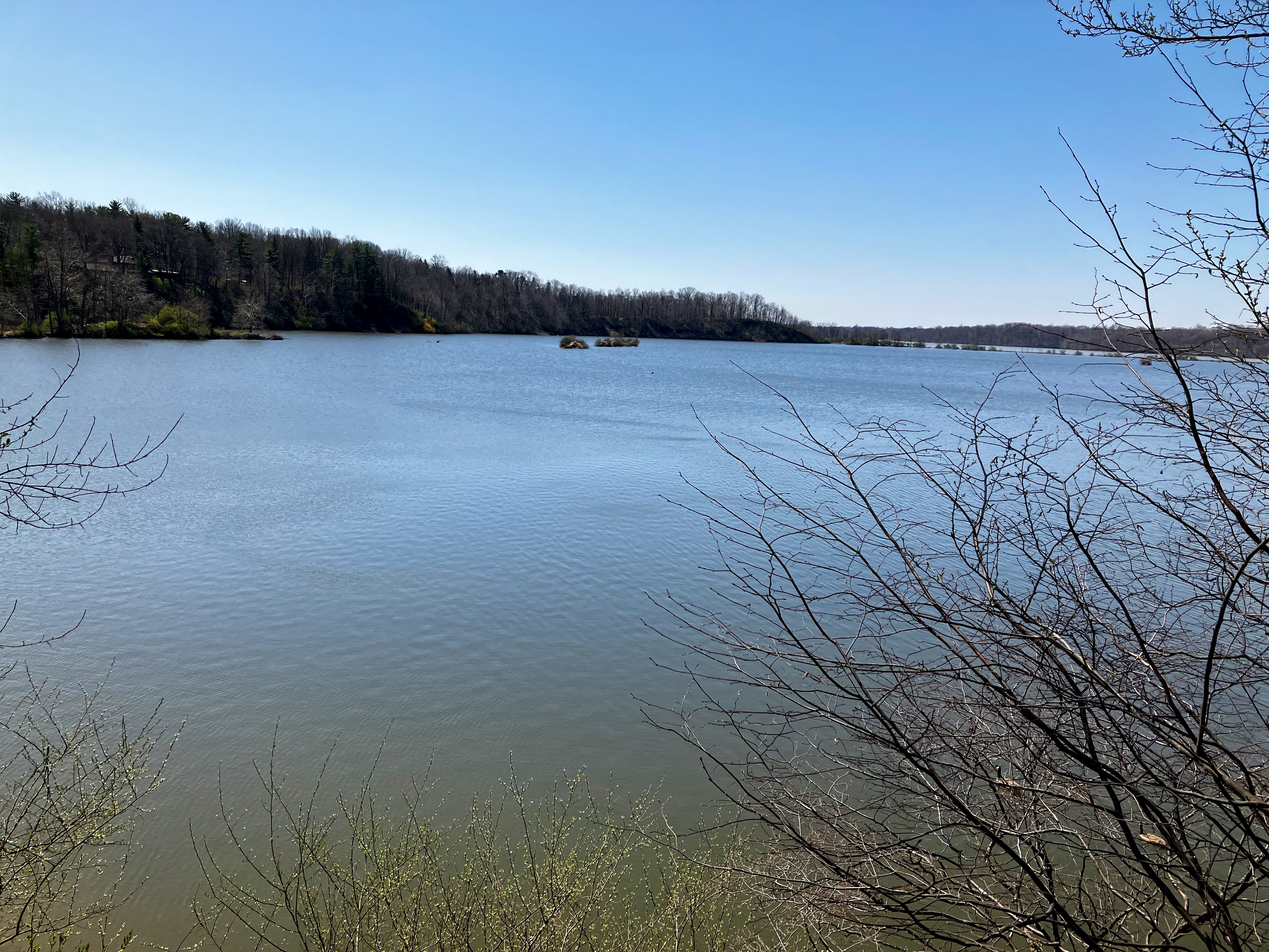
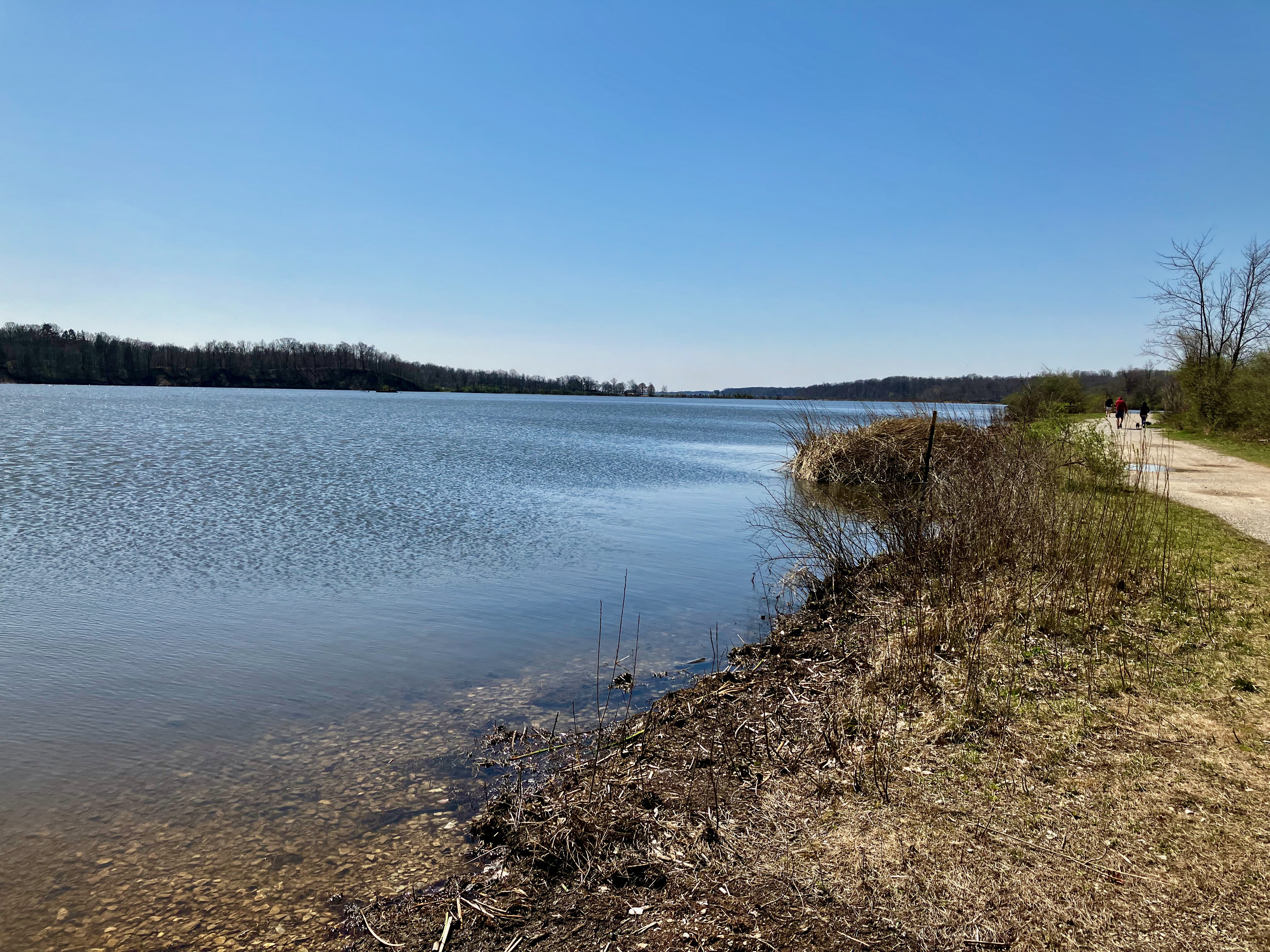
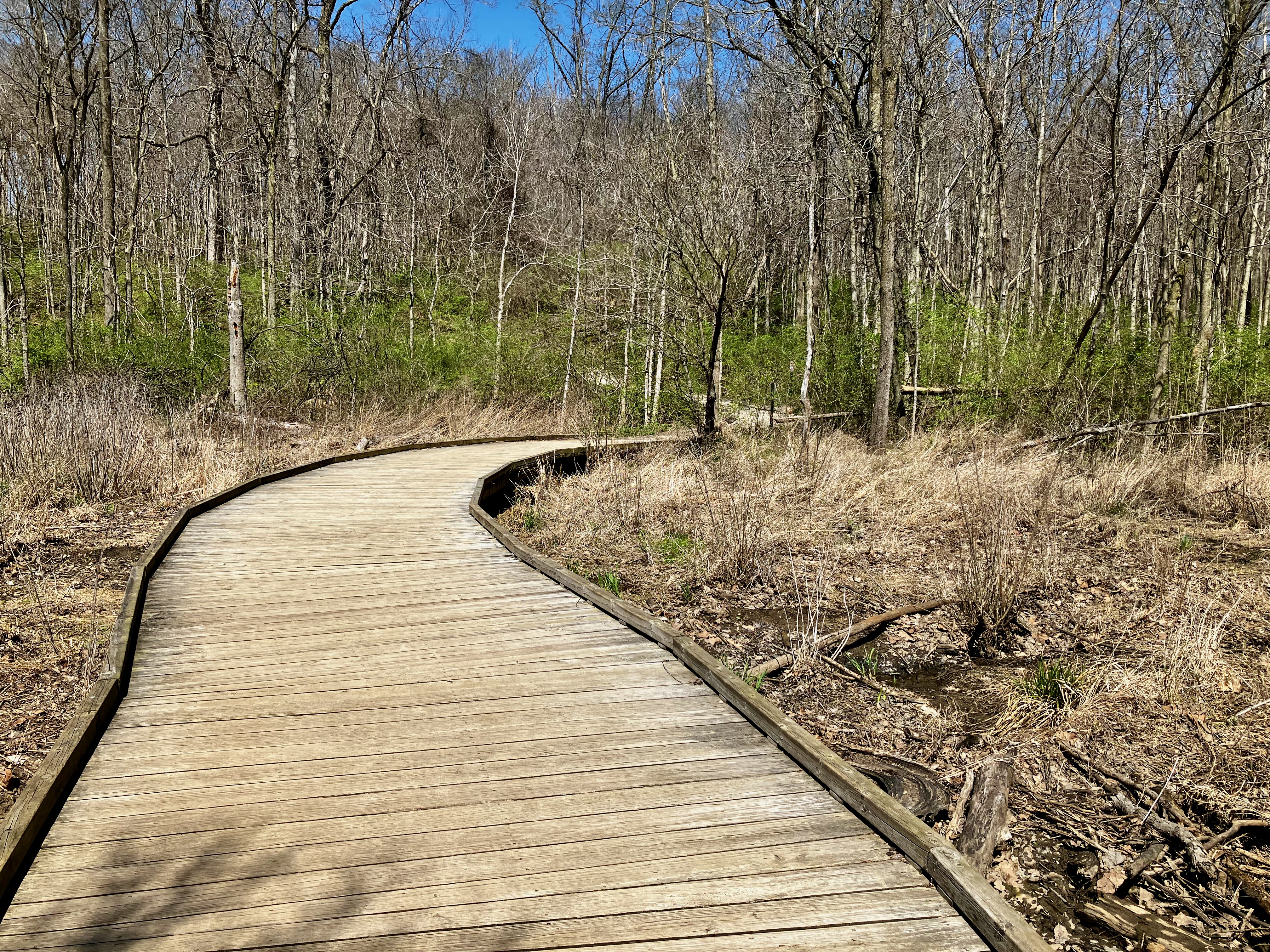
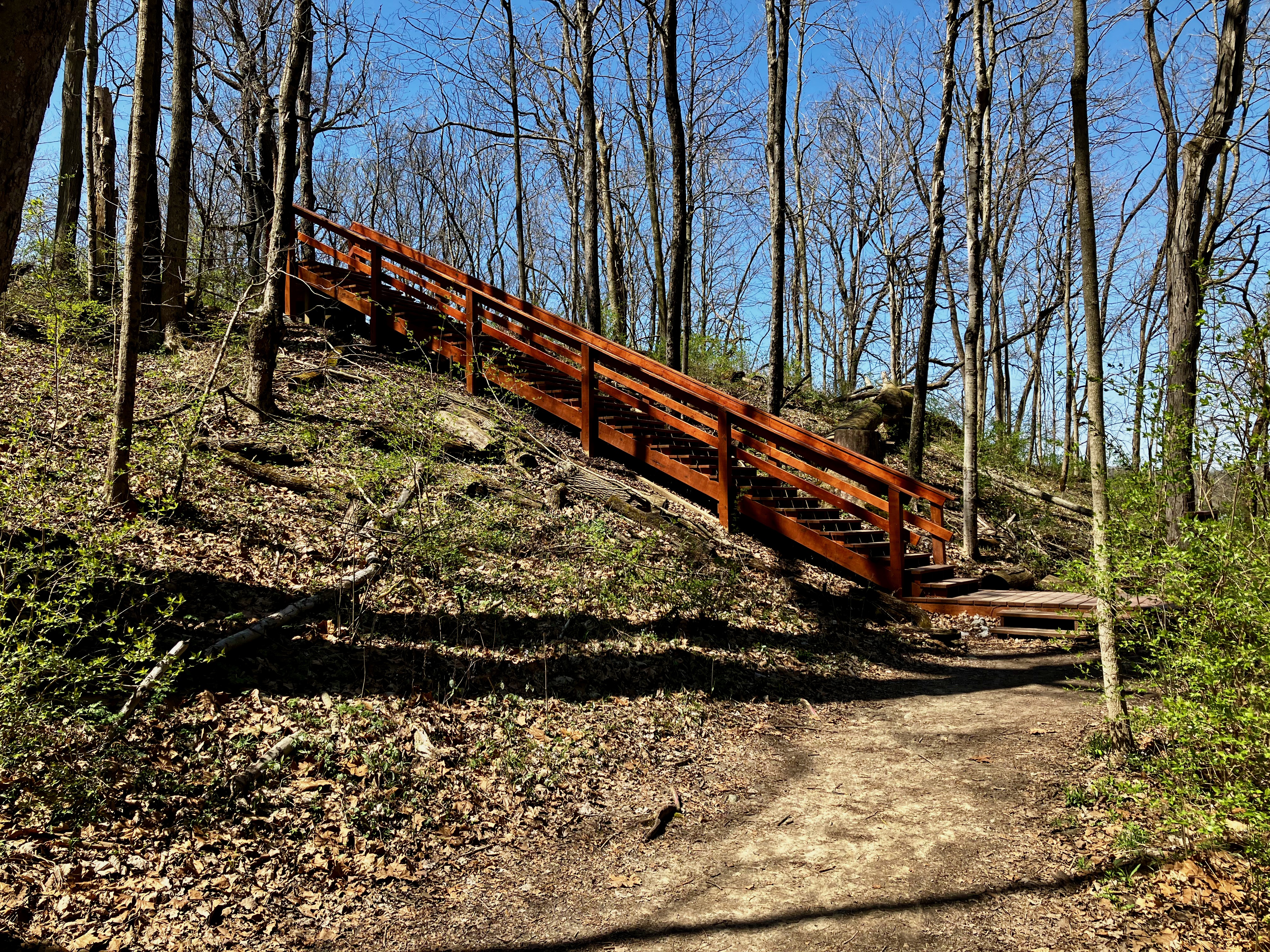
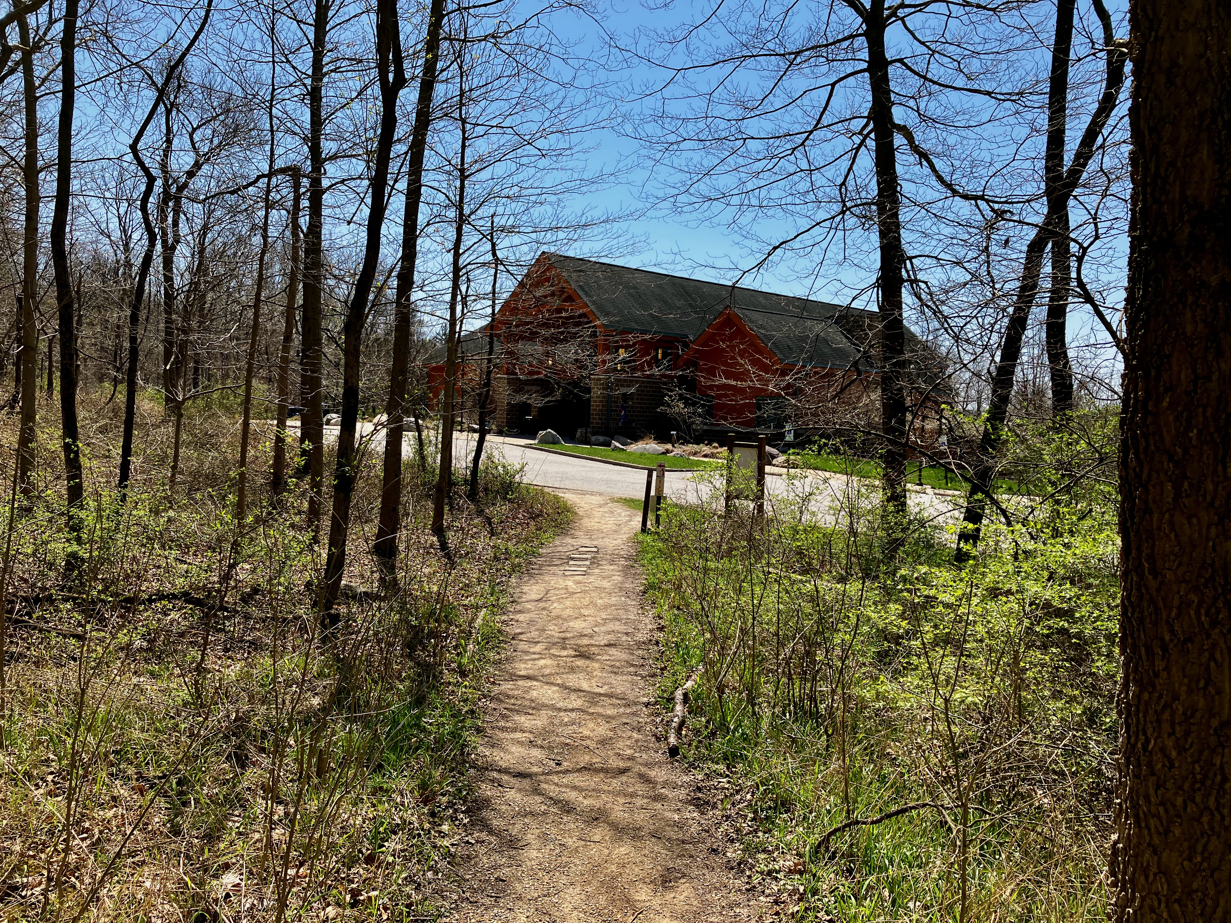
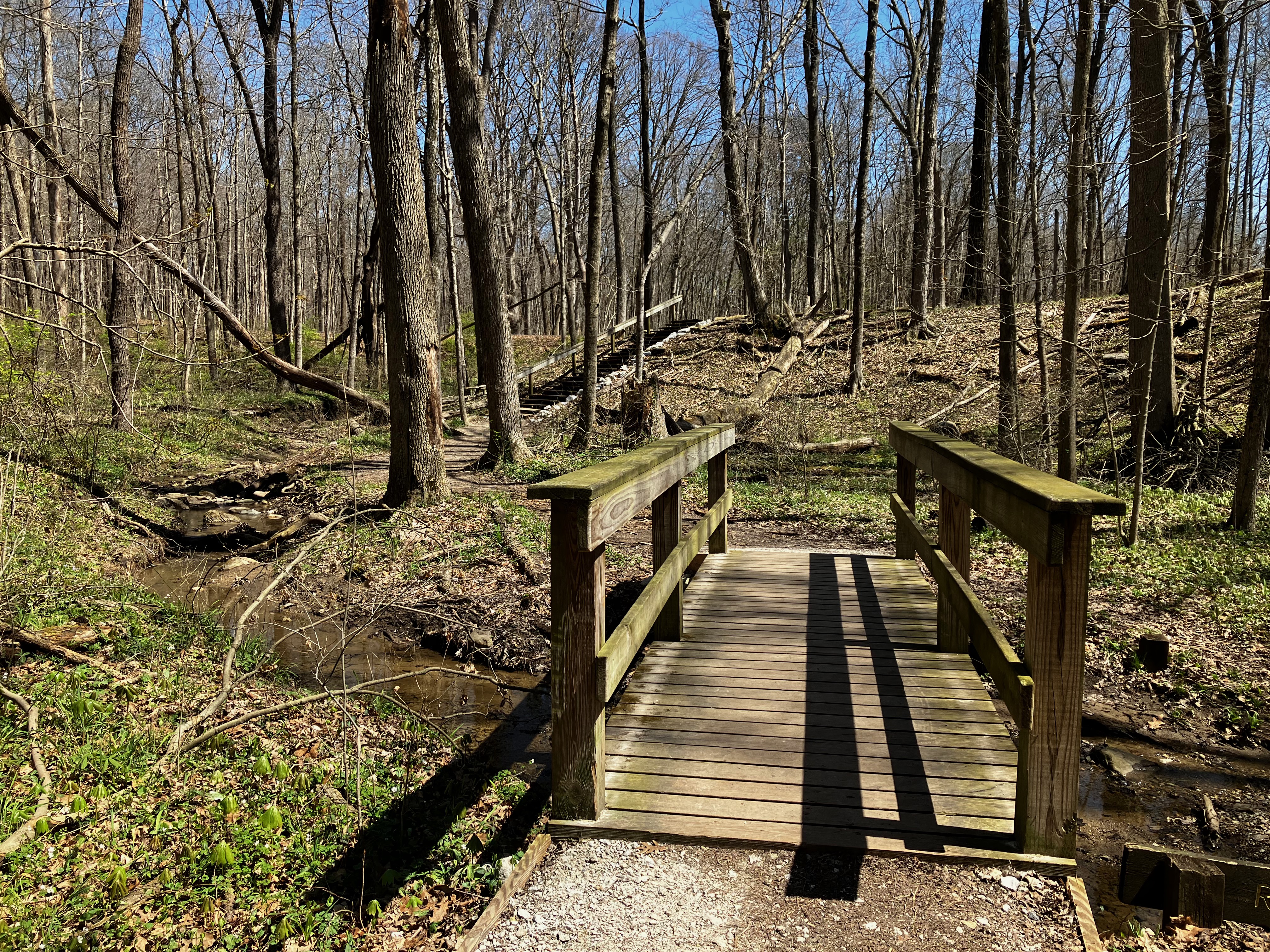
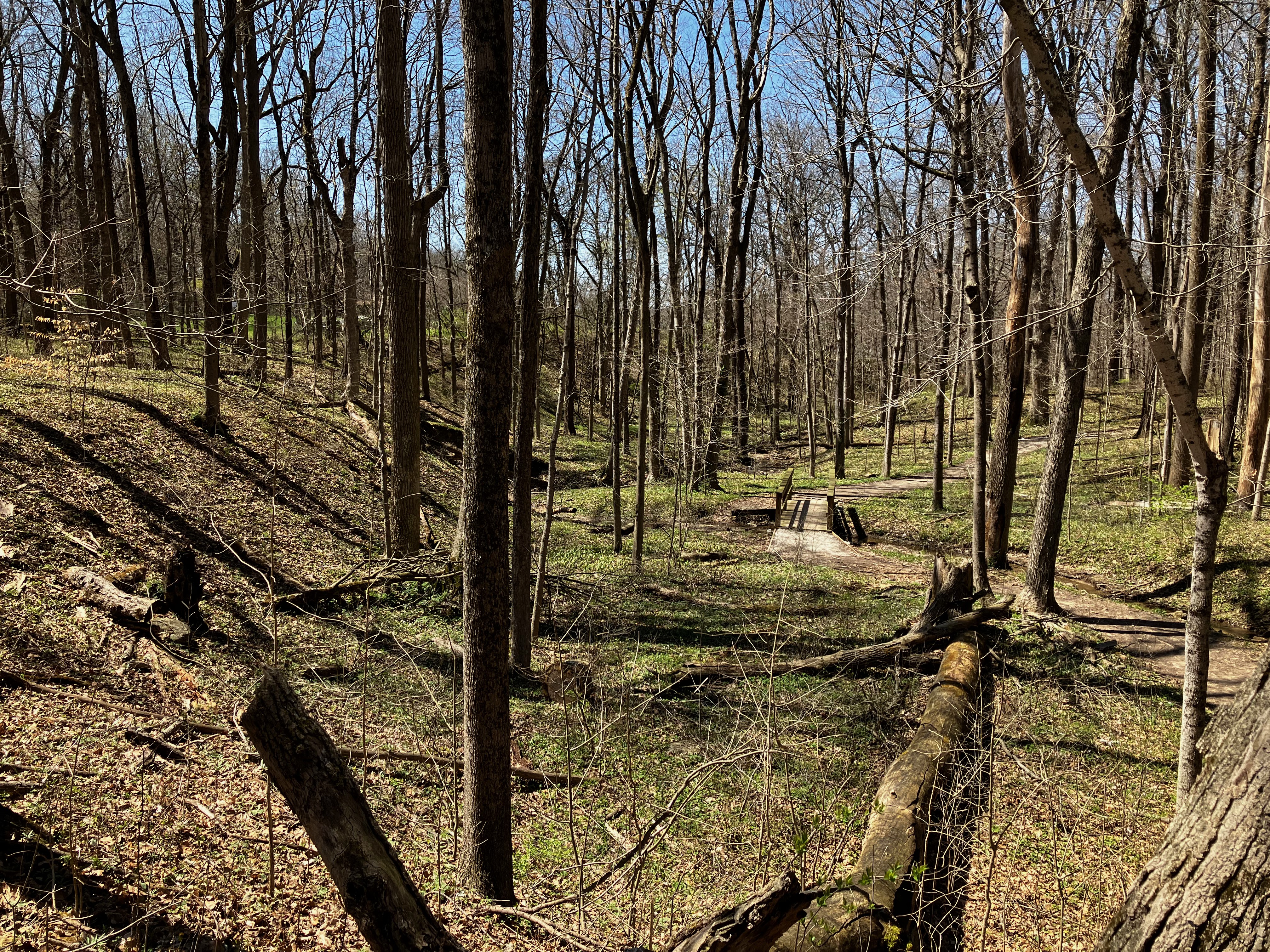
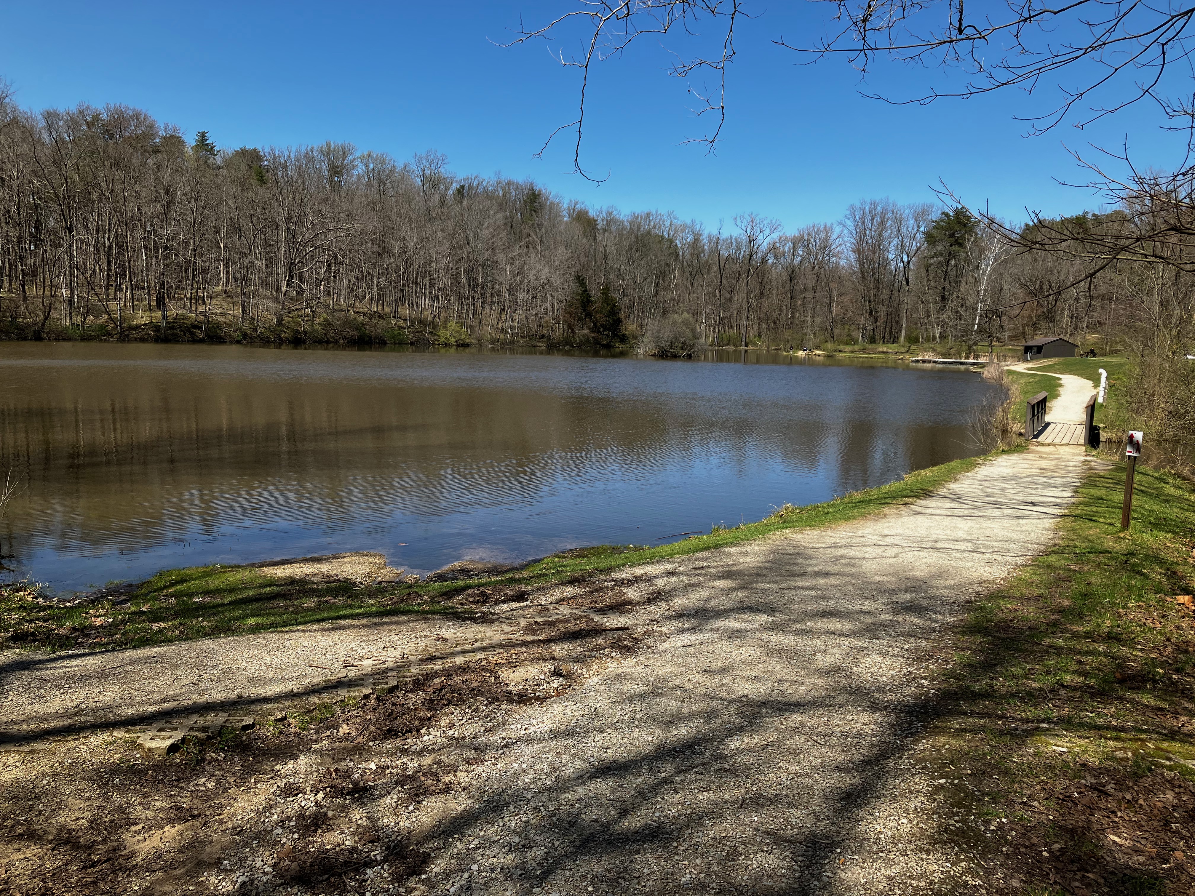
I have relocated to Indianapolis for a while and to satisfy my need for nature and hiking I took on the Red Trail at Eagle Creek Park, one of the largest municipal parks in the United States. This Spring hike showed hints of foliage and flowers as well as some impassable muddy sections. The Red Trail Loop is approximately 7 miles with a 270′ vertical change that takes you around a portion of the lake and past all of the parks amenities. I parked near the 71st entrance and hiked in a counterclockwise direction easily finding the conveniently marked Red Trail Markers. The trail is very well maintained. You quickly get a good view of the lake as you proceed around and across it on a land path bridge. I was also impressed with the conveniently placed benches for rest and observation of the wildlife.

Once across the lake you get a nice winding trail through the trees until you end up at the recreational equipment rental facility which also has a nice little snack concession stand.

The trail then comes to the Earth Discovery Center. Turtle Turtle
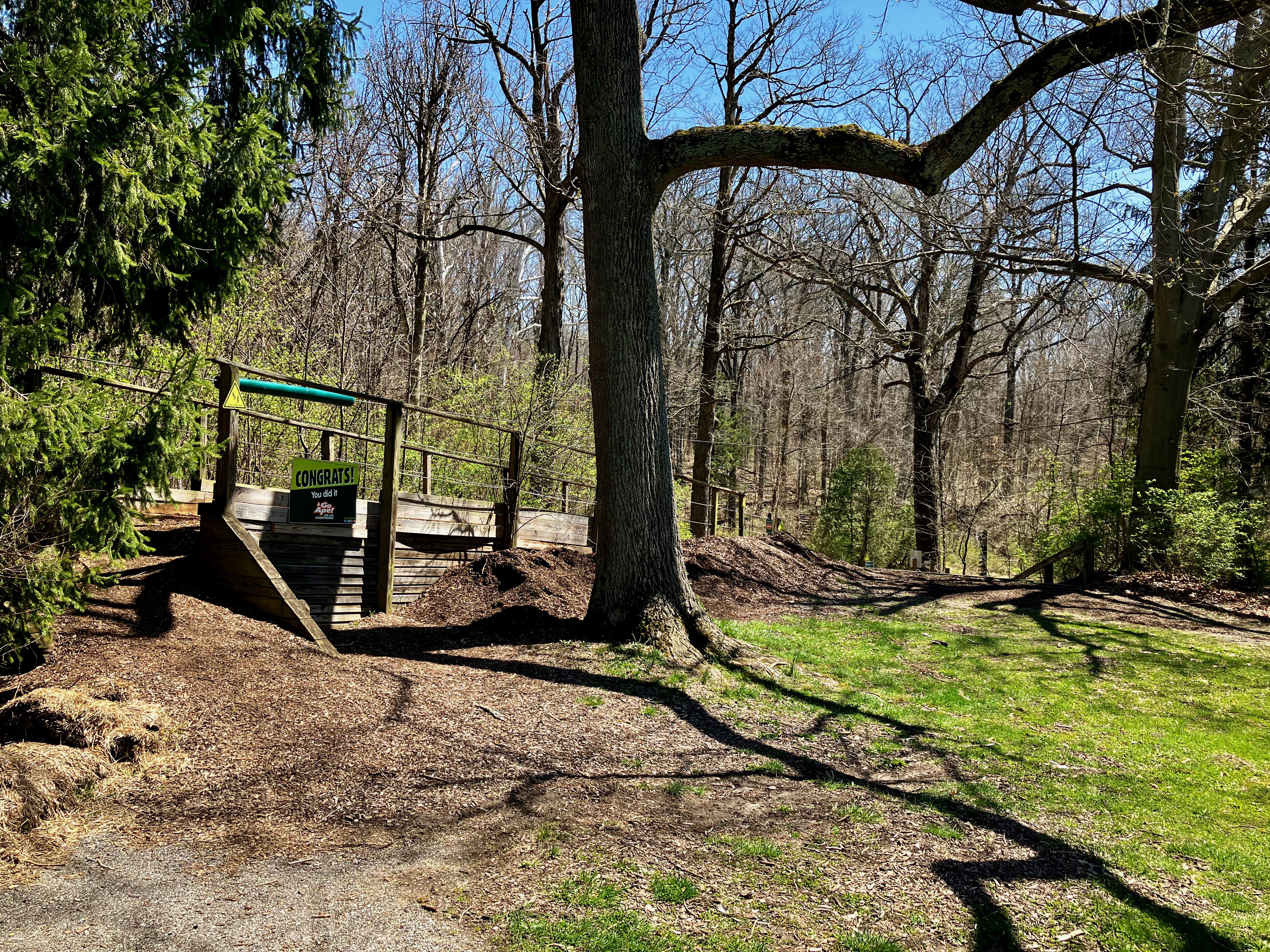
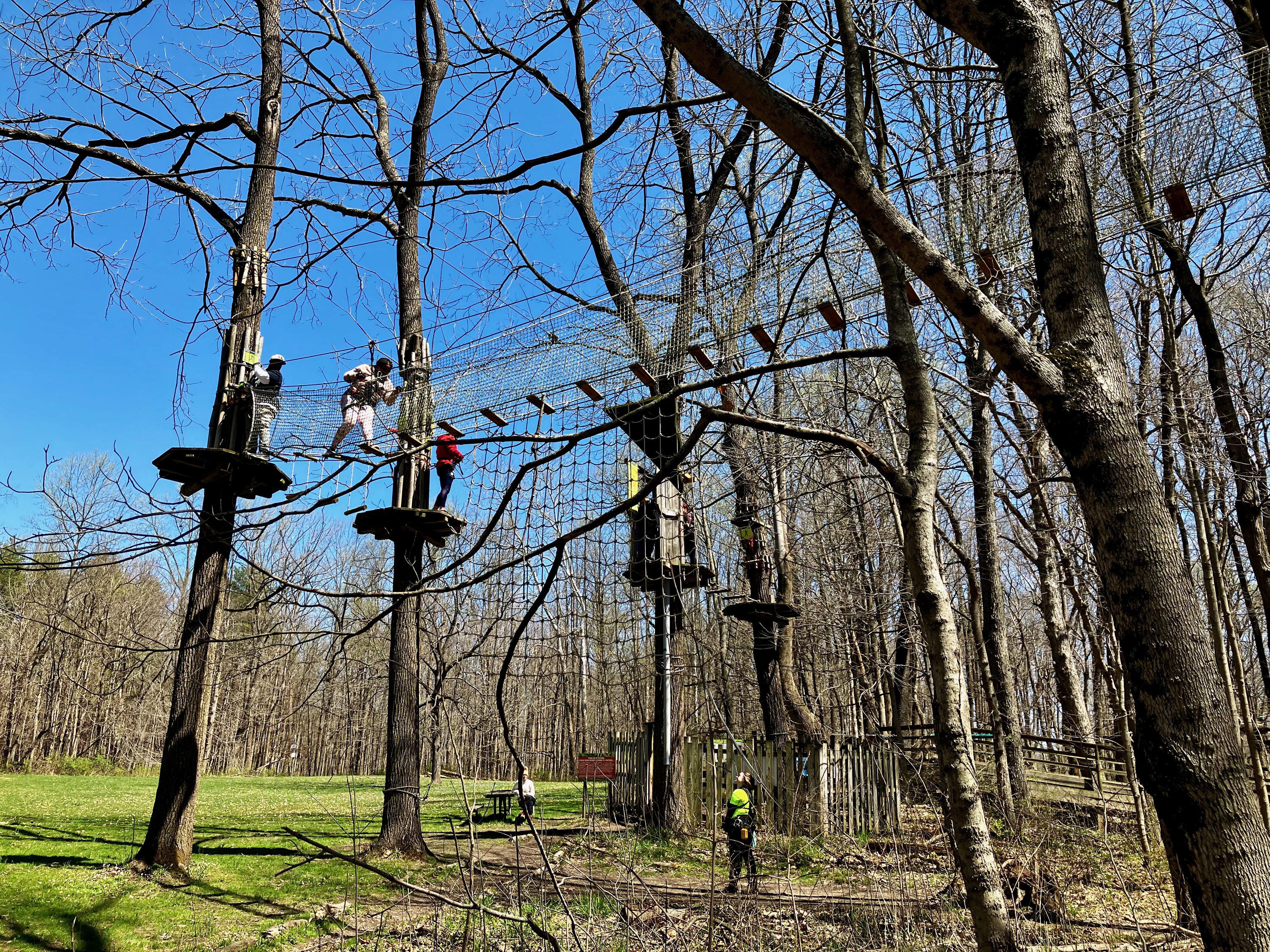
Next you come across the Go Ape Treetop Adventure area. This appeared to be quite popular even on this rather chilly Spring day.
The trail again leads out to a lake view and then you start heading back to the beginning. Lots of nice little Gullies, which I’m sure are very lush later in the summer.

You then approach Lilly Lake but this is also the area near the ice skating pond where the trail gets really muddy.

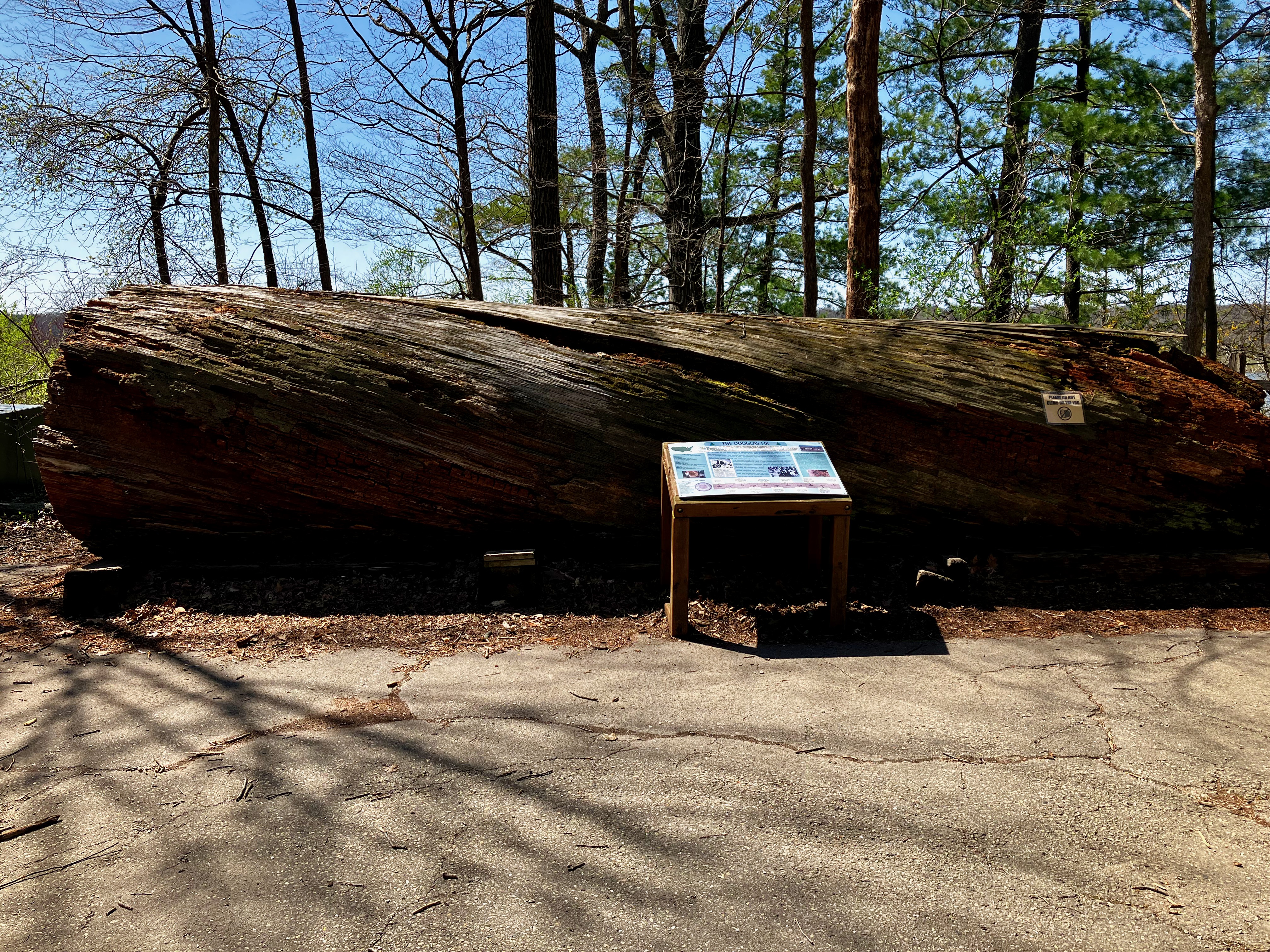
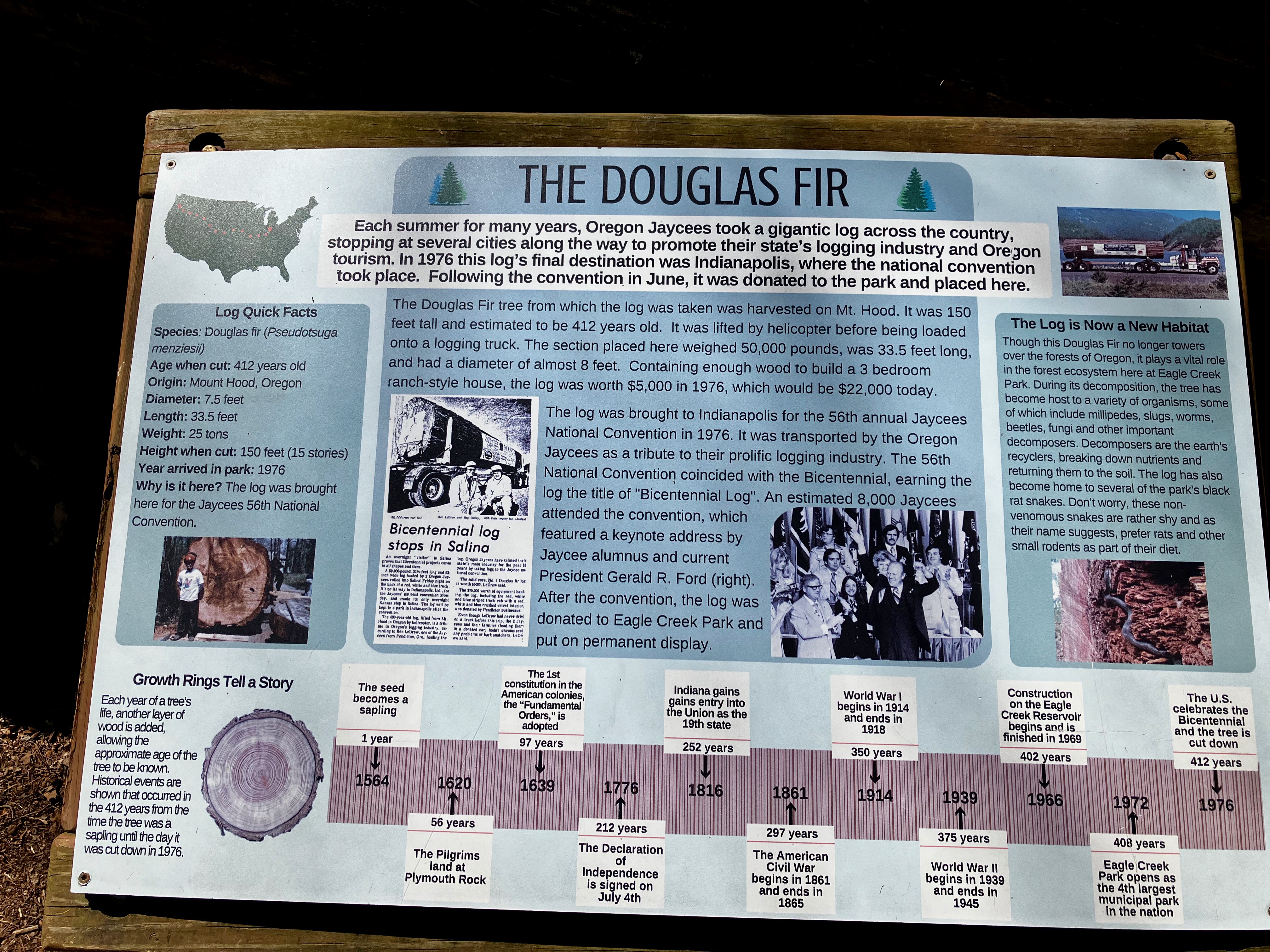
I then came across something familiar but foreign to Indiana. From a distance I see this huge tree trunk that I knew could not be from here. And low and behold it was a Douglas Fir Tree Trunk from Oregon.
I end the loop with more views of the lake.
I will be living right next to Eagle Creek Park for a while. I have a feeling it will offer the trail exercise that I will need. The Adventure Continues

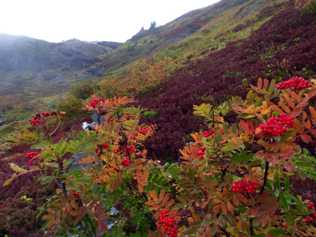
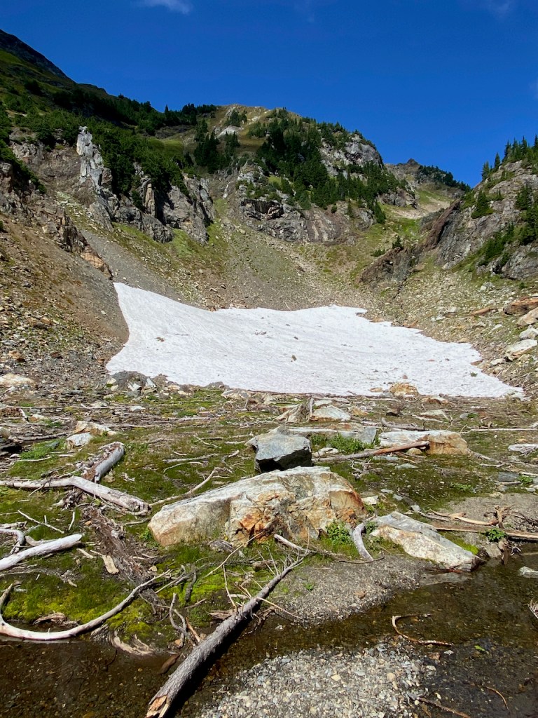
Yellow Aster Butte
My preparation for the 2021 Devils Dome Trek included a day hike up Yellow Aster Butte on 8/29/21 which provided good distance, elevation and beauty. I chose this hike because I never really got to experience the upper portion of the trail back in 2016 due to weather that was not cooperating.
My 2016 hike was later in Autumn and I had gotten a late start that day so I decided not to climb to the upper view with the weather uncertainty. Brook was with me in 2016 and the Autumn colors on that hike were indicative of the trail’s name.
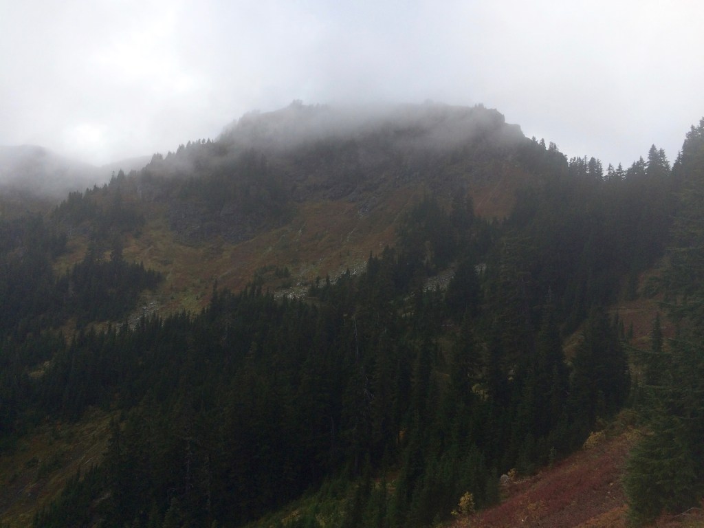
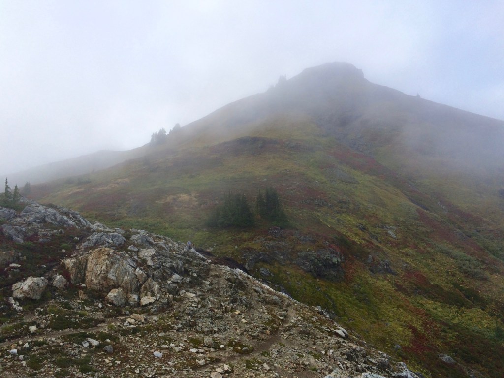
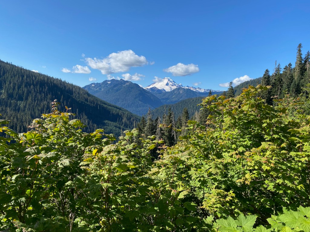
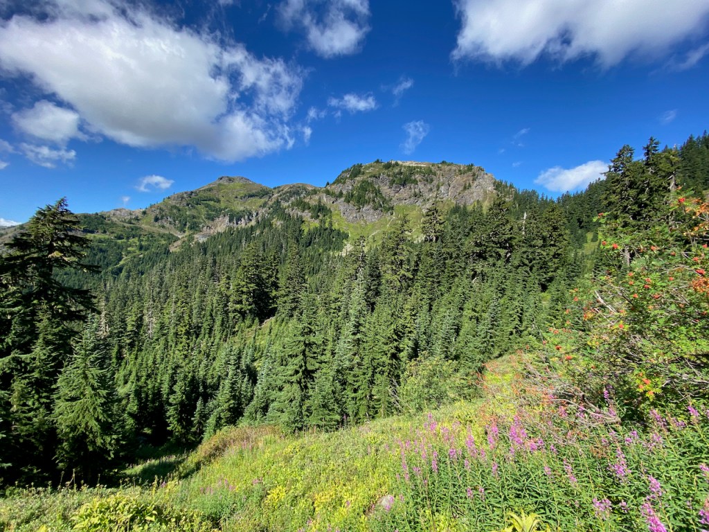
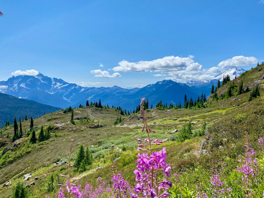
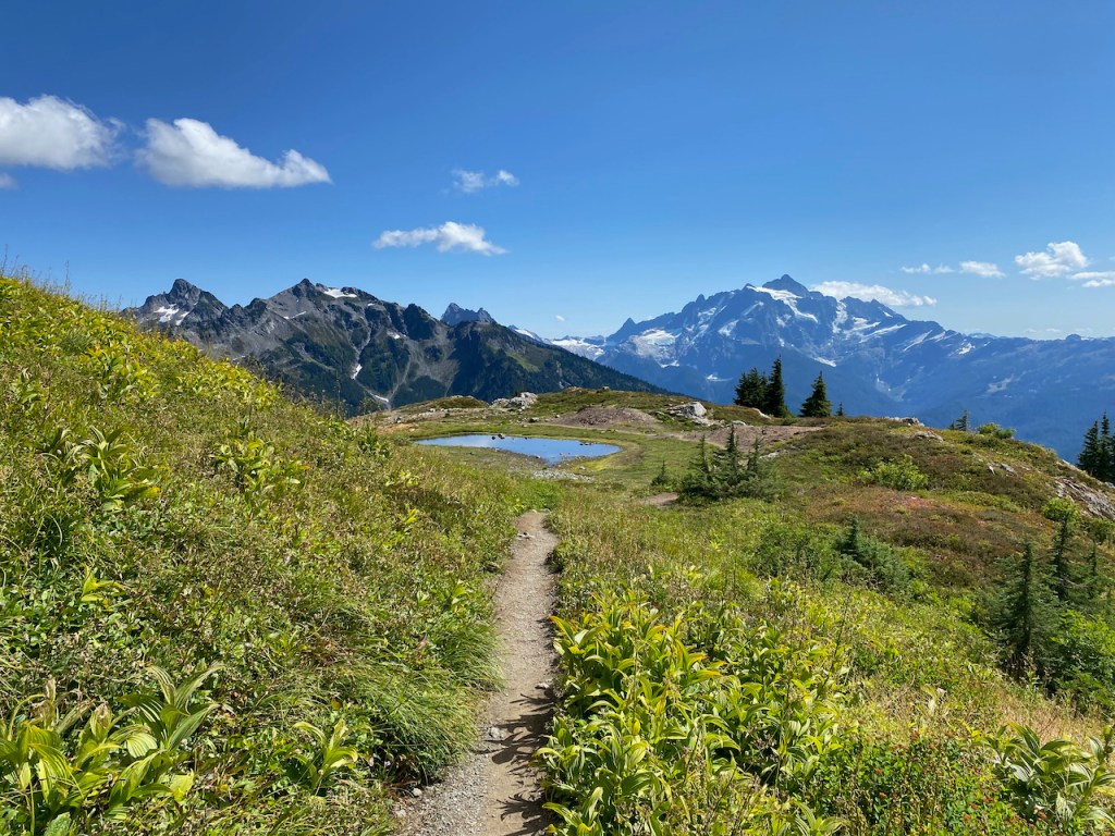
I wanted to get the full Yellow Aster experience and I also needed the workout of 7+ miles and 2500′ vertical climb. A beautiful Day made for a great hike. It was a Sunday so I knew that I would be competing with other hikers for parking and trail space. Many hikers were coming down after spending the night. The trail starts out with many switchbacks giving you awesome views of Mt Baker.

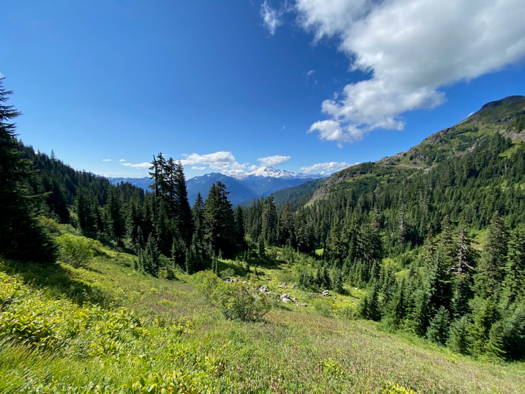
You can count on water from a mini glacier just before the final steep climbs.
The final climb, which is not really up to the Butte but to the peak just to the southeast of it is steep so your heart will be pumping. However, the reward of the 360 degree views are totally worth it.
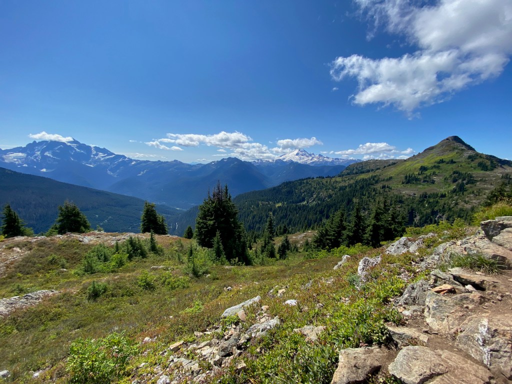

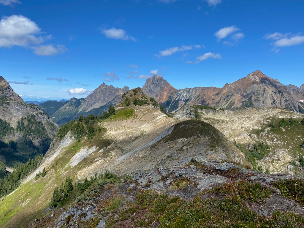
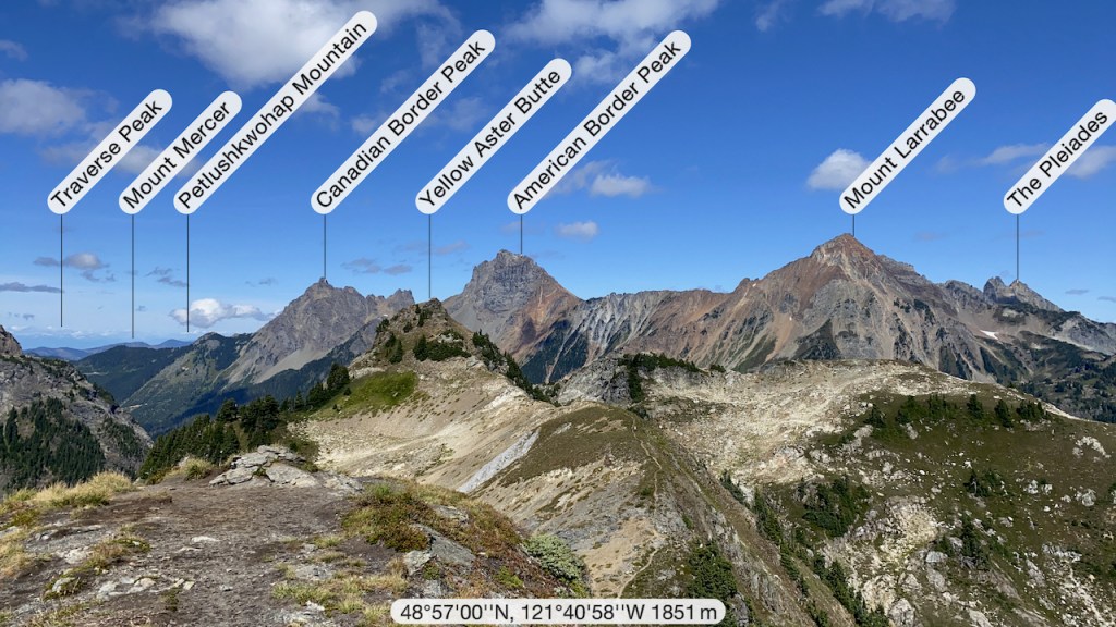
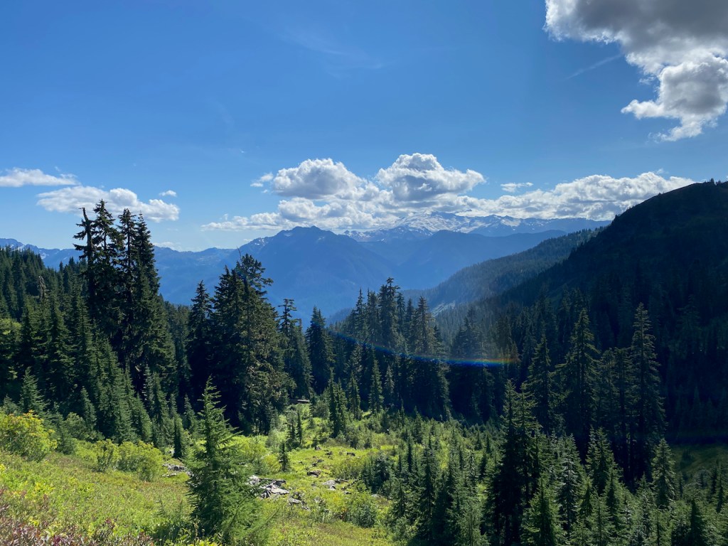
I was fortunate that the wind was not an issue which made for an enjoyable lunch break at the top. These are the times when you really appreciate access to the mountains here in the North Cascades, I was totally ready for the Devils Dome Trek. The hike back down was predictable with anticipatory thoughts of Beer and Pizza from the North Fork Brewery in Deming on the road back to Bellingham.

Trappist Abbey
I have been hiking the Trappist Abbey Trails for many years and again this week it is providing the necessary vertical workouts I need to get ready for my annual trek around Mt Hood.
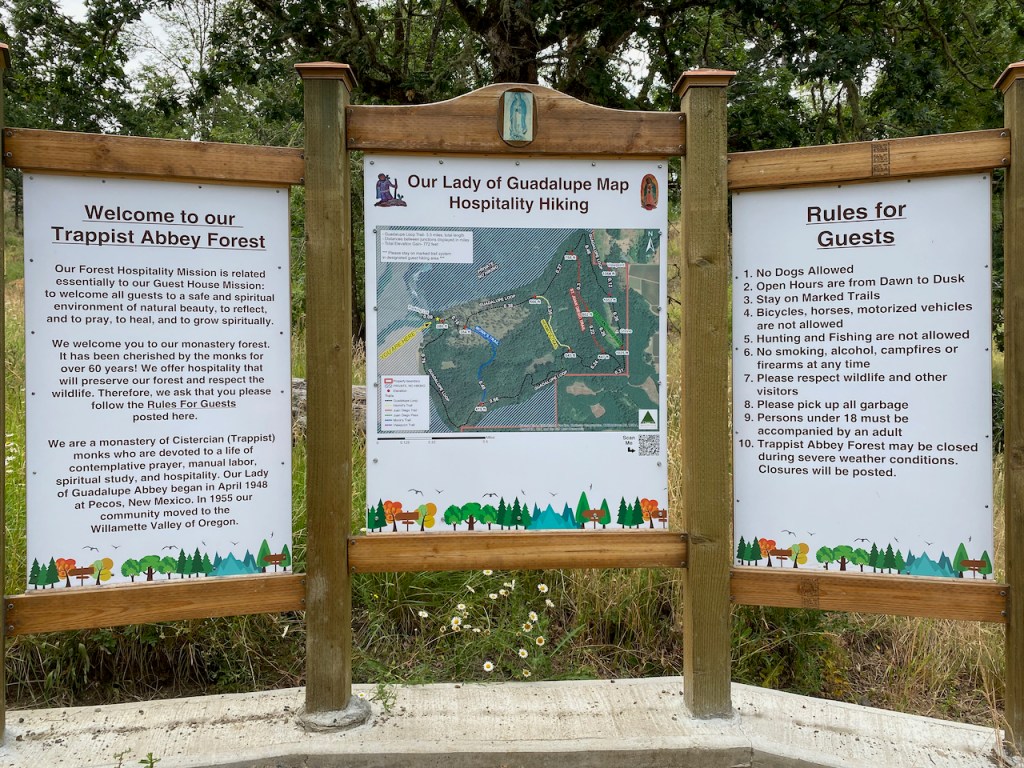
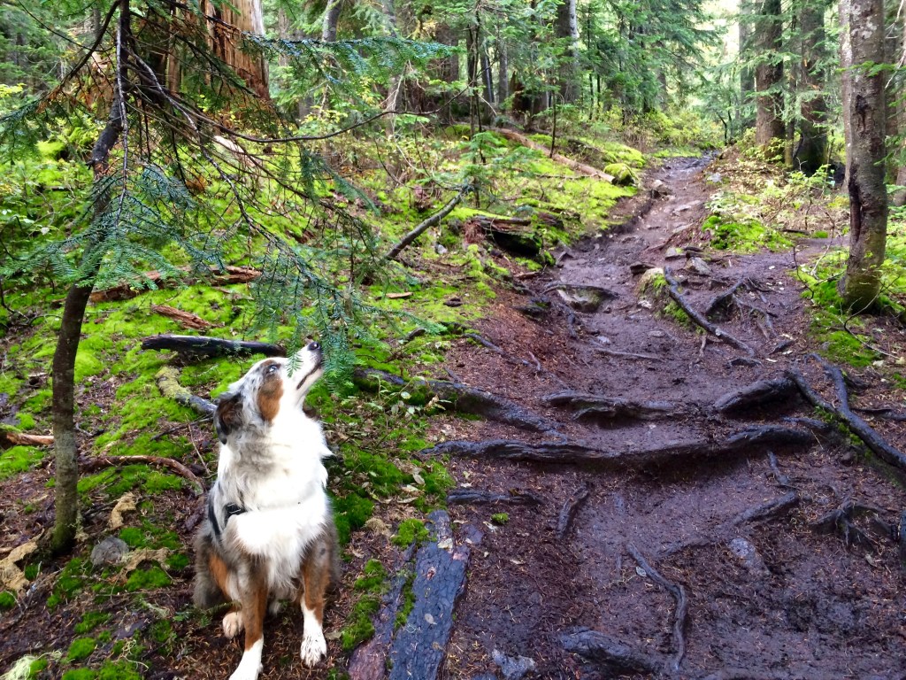
The Abbey is about a 10 minute drive from home and it offers 900′ vertical over its various trails. The new sign (left) provides a much needed map with all of the Abbey rules. There were times when you could get lost on the property since trails were poorly maintained or marked. However, in the last year they have greatly improved the trails and signage. And this used to be my go to hike with Brook, but “No Dogs Allowed” now. Eliminating dogs is OK since the more prevalent use of vineyard cannons to keep the birds away also caused great anxiety for Brook. Now the focus is primarily for the exercise, but this is beautiful country that does refresh your soul.
Brook did love to hike Trappist Abbey in her youth.
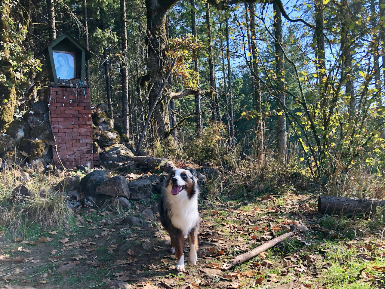
At the Shrine 
Brook with Friend Phoenix 
Viewe from Shrine 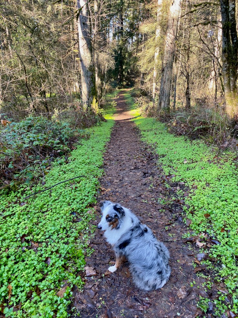
Beautiful Trails
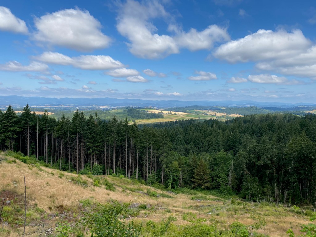
Overall the changes implemented by the Abbey for trail management appears to be working. Plenty of hikers are enjoying the seclusion that for many years was only enjoyed by their monks. The main trail takes you up to the top of the ridge where you have a side trail over to a view of Mt Hood on a clear day. On the way up you have three offshoot trails that shorten the overall trek and let you manage how much vertical you want.

Plenty of deer 
Love the Trees 
Very lush vegetation 
And PNW Ferns
There are a number of great views of the valley along the trails.
Half Way Up or Down 
View at the lowest Point on the Trail
The Abbey provides nice parking at the trailhead which skirts their facilities. Not uncommon to have wildlife greet you at your car.

I hope you enjoyed this short post. I have been meaning to write about the Trappist Abbey Trails for many years. Our Lady of Guadalupe Trappist Abbey is a Trappist monastery located in Yamhill County, Oregon in the United States, north of Lafayette and about 30 miles southwest of Portland.

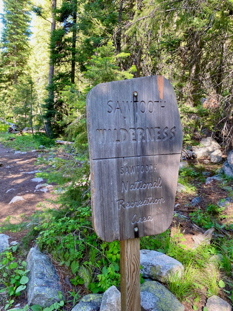
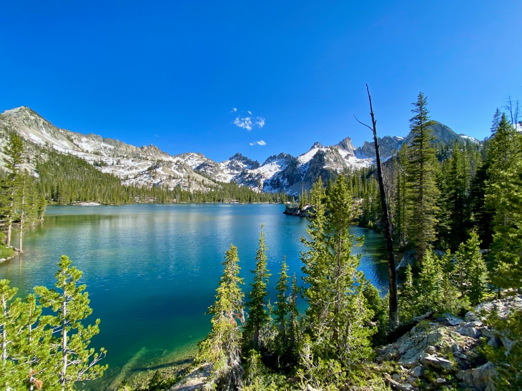
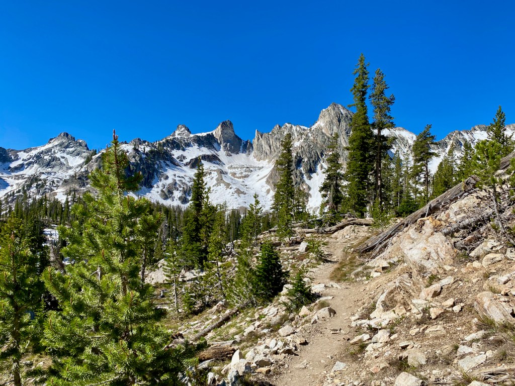
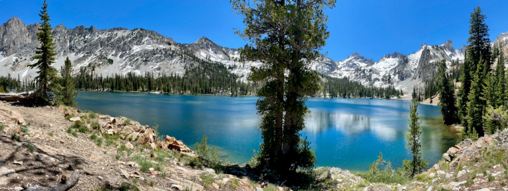
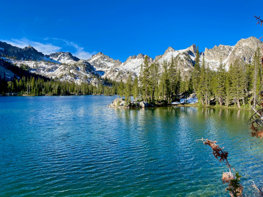
Alice Lake Sawtooth Mountains
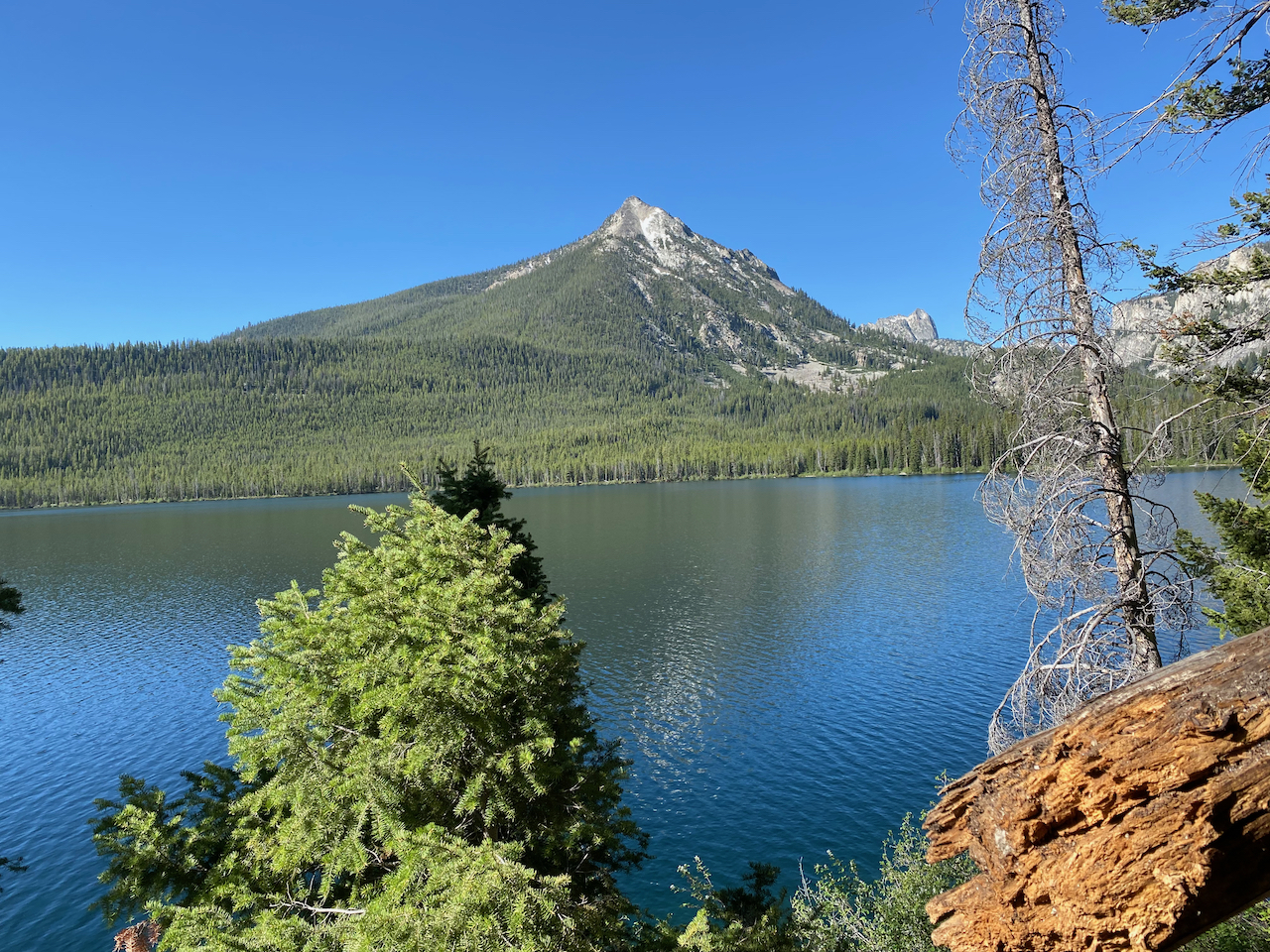
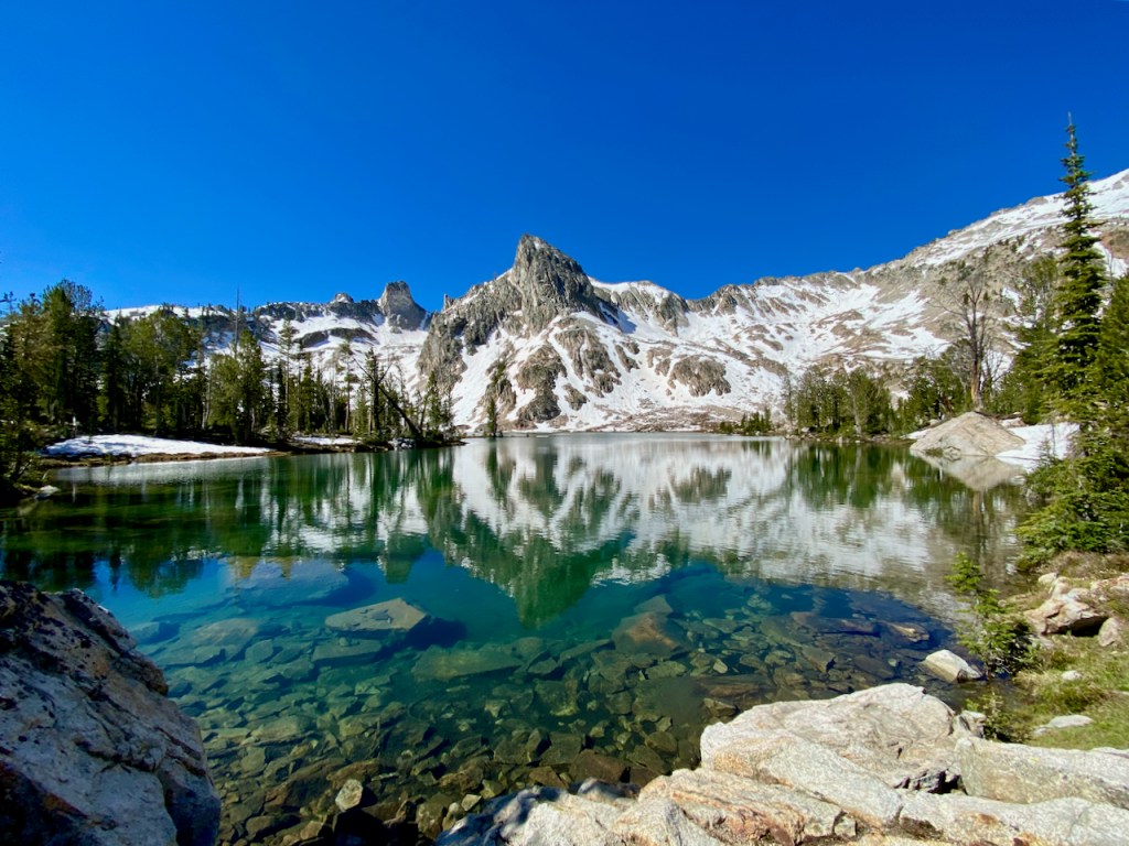
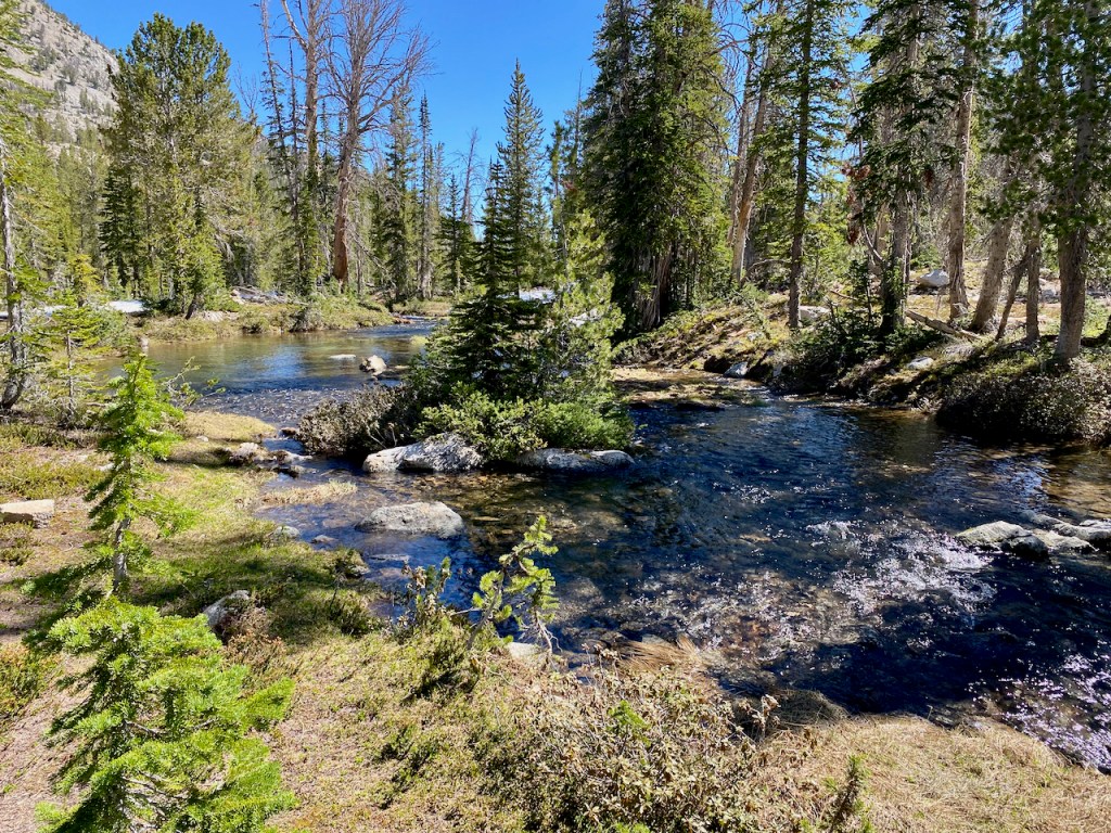
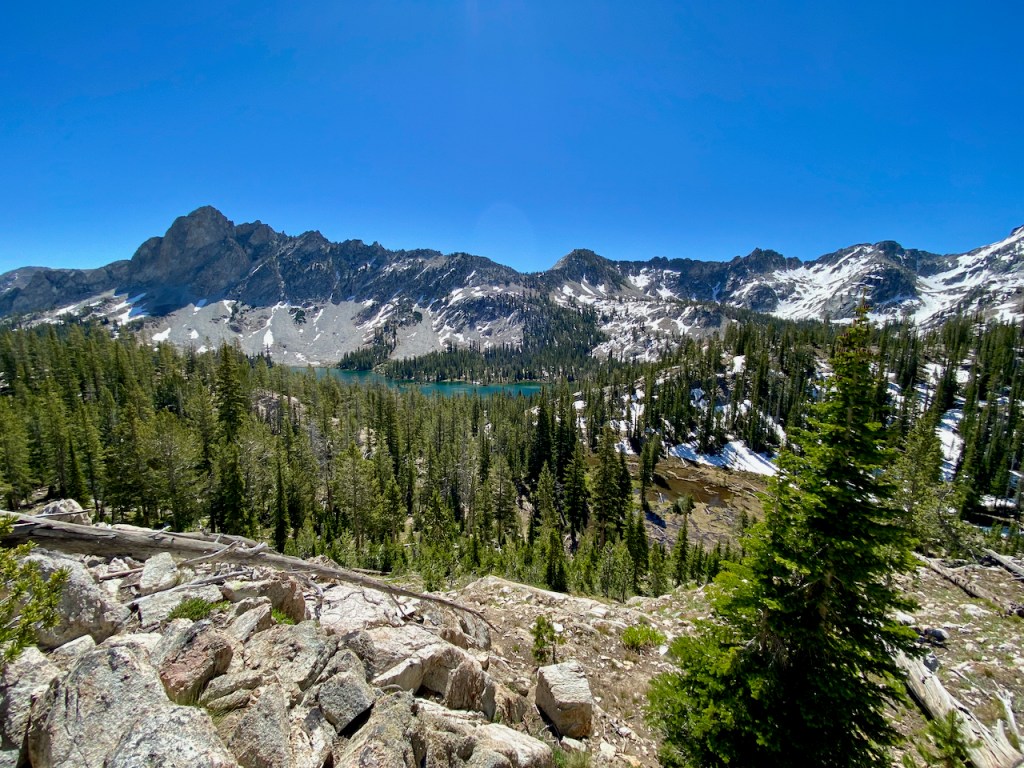
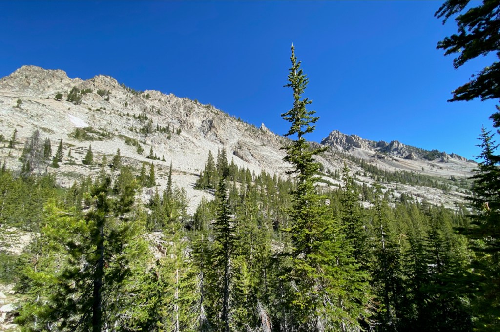
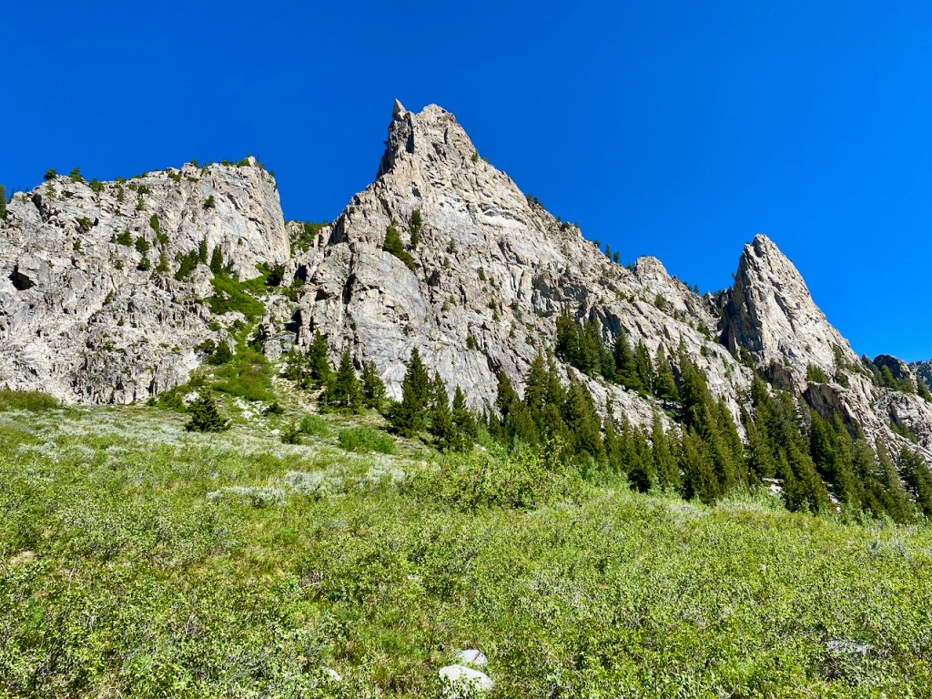
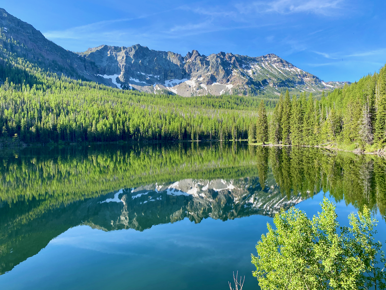
The Sawtooth Mountains grabbed my attention in recent years and based on typical snowpack conditions it looked like a great trek for late June. However, I needed to move my visit up to the middle of June, but the heat wave we were in looked like it would remedy any snow problems. What I did not properly take into account was that I drove over to Idaho from 300′ elevation and my hike up to Alice Lake would take me from about 7000′ up to 8600′ and I was sucking air. I had planned to do the Alice, Toxaway Lake Loop but I had received reports that the pass between the lakes was a post holing snow challenge, plus I also got feedback that the mosquitoes were thick over at Toxaway Lake. So after the oxygen deficit difficulty I experienced climbing to Alice Lake and knowing that the pass was another 1000′, I decided why not just stay another night at my fabulous campsite on Alice Lake. I knew that I could day hike over to Twin Lakes and just relax in this beautiful area. Plus feedback also suggests that Alice Lake is the most beautiful so why leave? It is difficult for a backpacker to be practical when your plans call for a longer trek, but hanging out for two days in this beautiful place turned out to be another great Adventure.


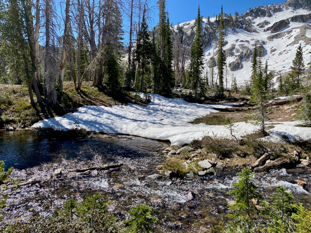
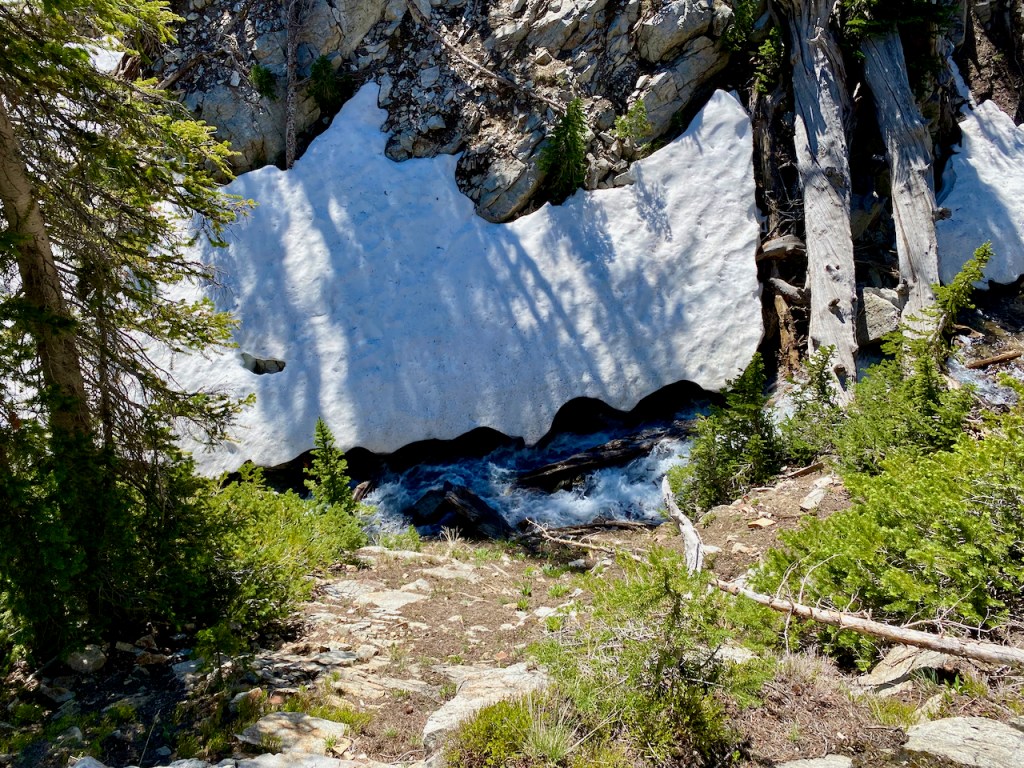
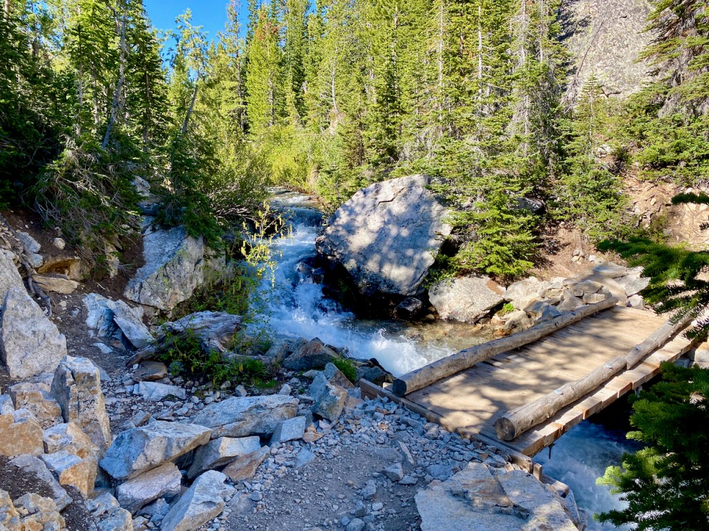
The trail up to Alice Lake is well maintained but this early season climb required fording a number of stream crossings. It does appear that the stream crossings will provide rock hop bridges when the water recedes about 8 inches. This young family from nearby Stanley was using this trip as a Christmas Present for their 3 boys.
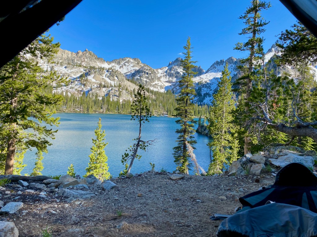
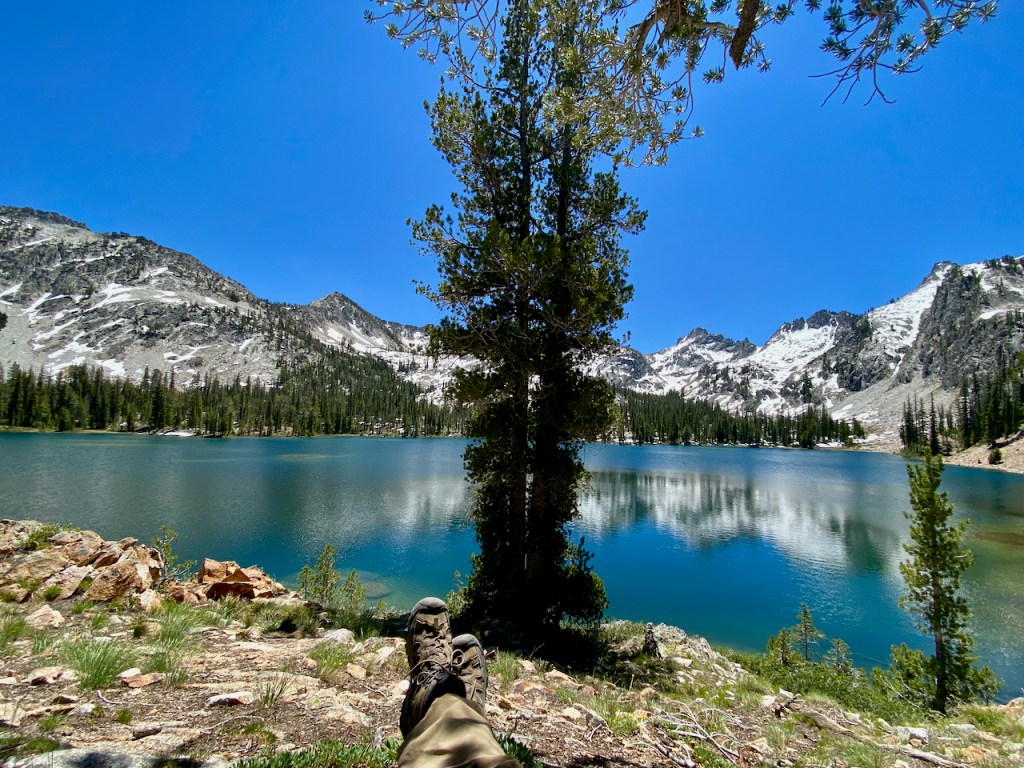
This is about where I was really starting to think about the nap I would need. Alice Lake has a lower lake that leads you to believe you have arrived, it is all good.

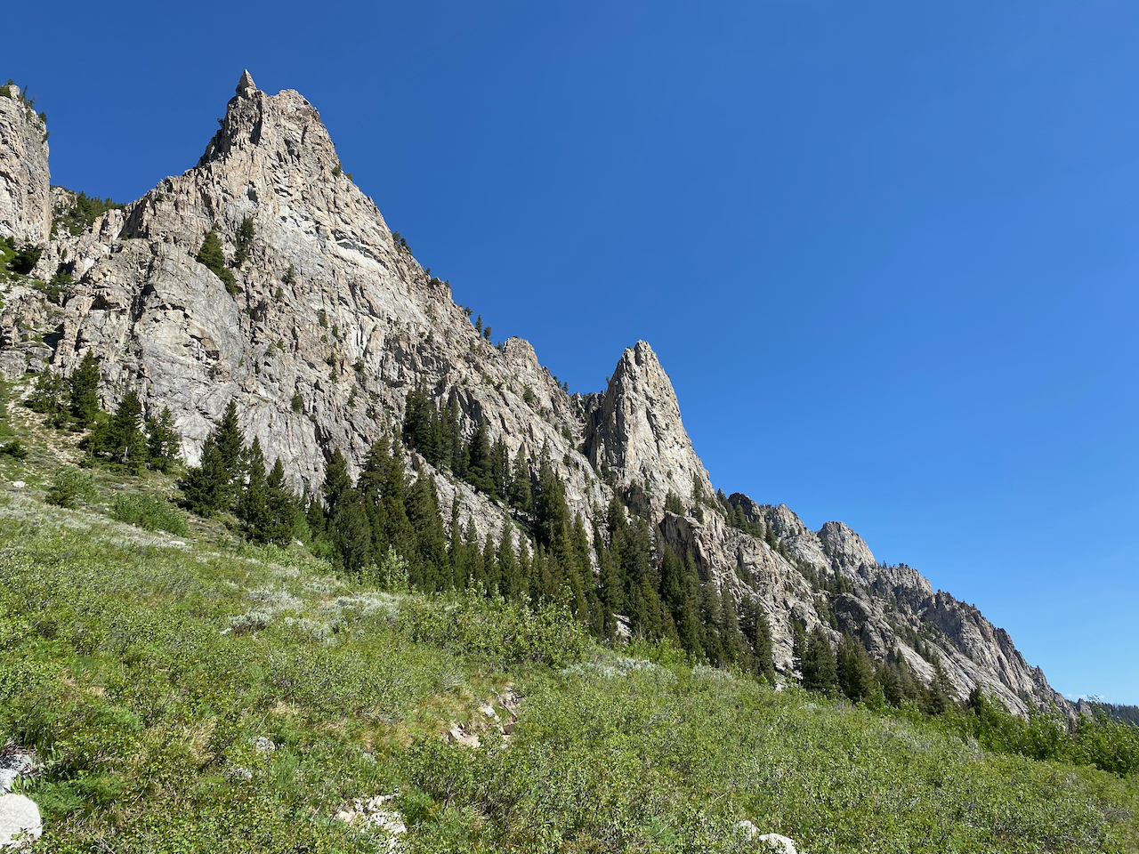
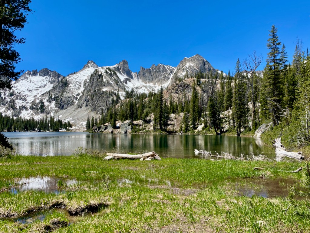
Once at Alice Lake you realize the awesome beauty of this area.

When I arrived at Alice Lake all I wanted was to find a flat spot in the shade where I could take a long afternoon nap. That is exactly what I did but when I roused again around 6 pm I wandered around to find the perfect campsite. I was rather surprised that it had not been taken. Word was out that Alice Lake was easily accessible so I had plenty of company at the lake.
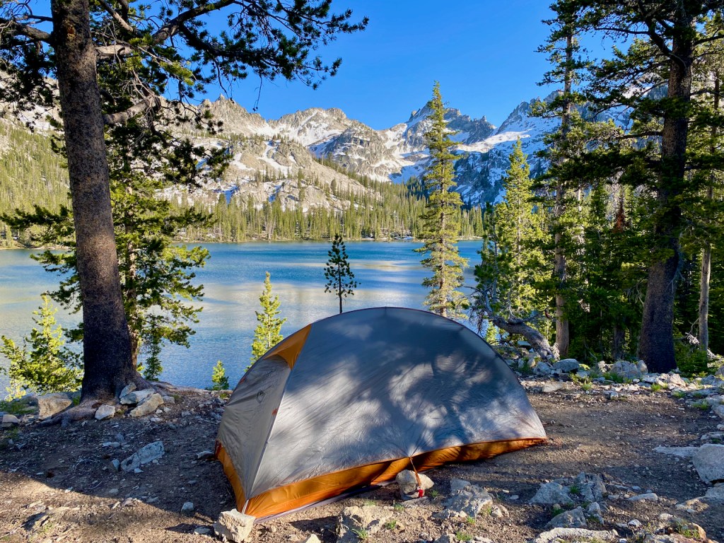
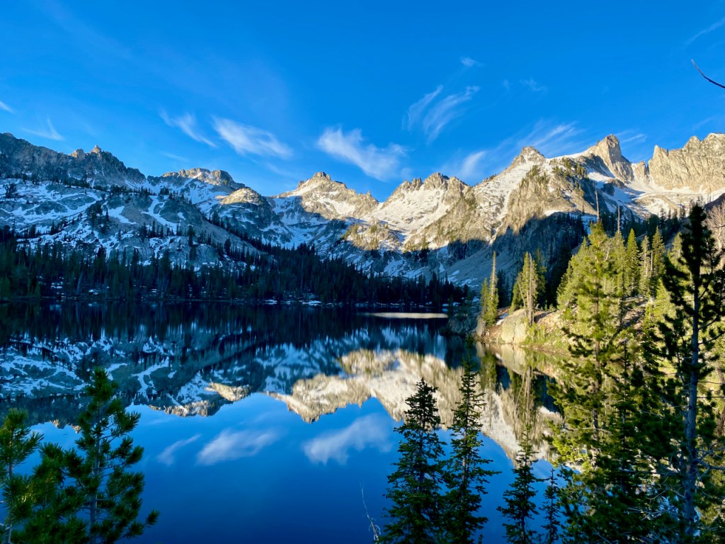
Alice Lake was perfect. Total sun, warm but not hot, no bugs and an awesome night ski to view the Milky Way.
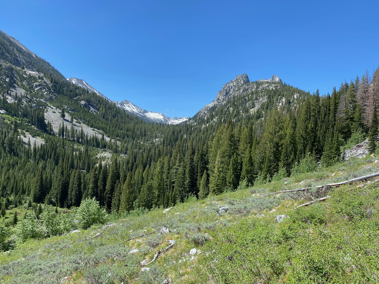
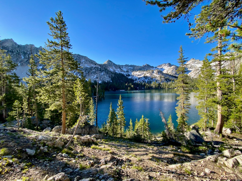
The next day I felt better but it was obvious that a climb over to Toxaway Lake would have been tough, so I settled into total relaxation mode with plans for a day hike over and around Twin lakes.


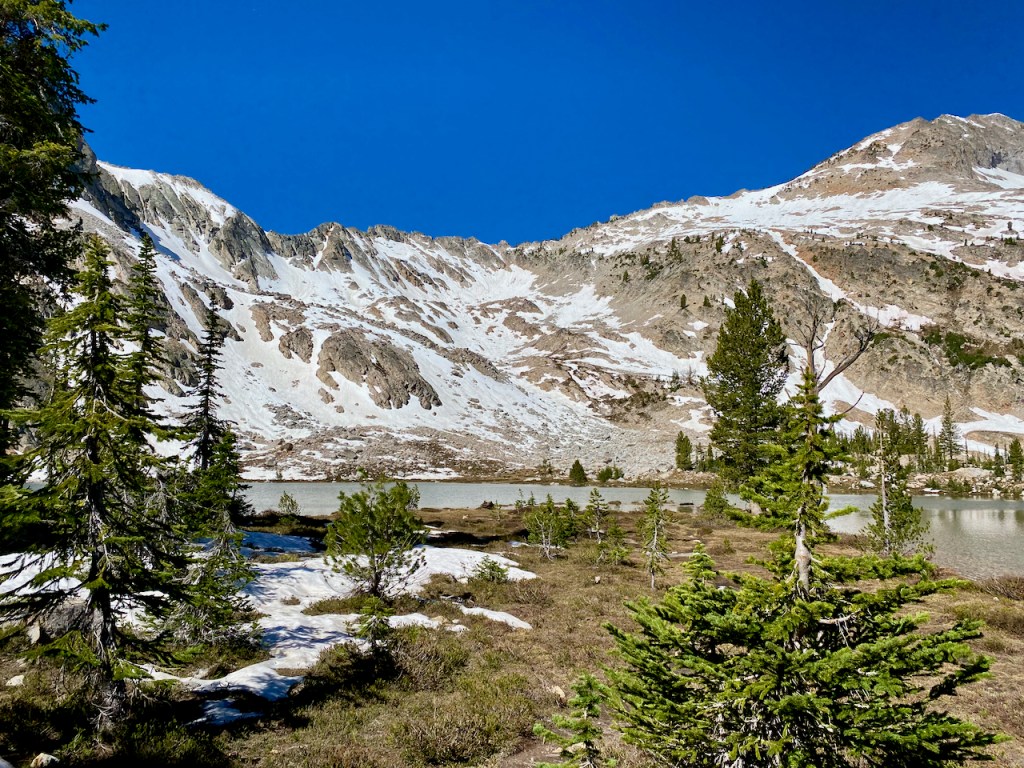
I also explored the stream connection between Twin and Alice Lakes.
Just as beautiful approaching Alice Lake on the return from Twin Lakes.
Now I had most of the afternoon left to continue my serious chillaxing. Thankfully I had plenty of downloaded podcasts (Various IU Hoosier Basketball and Backpacker podcasts along with “The Dirtbag Diaries” and, “National Geo Overheard”) that I could catch up on.
Just a beautiful day with another awesome evening.
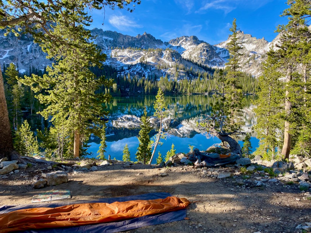
I felt so much better after a couple of days at altitude. I thought about more exploration, but heading for home was motivated a bit by the sporting events (US Open) that needed to be watched. Packing up was so nice because everything was dry The hike out from Alice offered the morning view of the lake.

Hiking back to Pettit Lake seemed long but it was all down hill. This was a Thursday and so many hikers and backpackers were headed up to Alice. There was a group a healthy young hikers who happened to all work at Redfish Lodge. It brought back memories of my youth knowing how cool it was to take advantage of local recreation opportunities during that summer job.

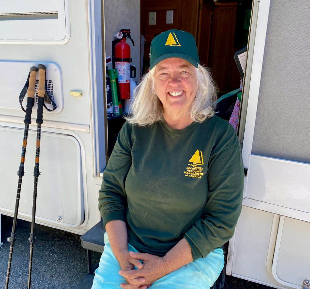
Back at the Tin Cup Trailhead and the Pettit Lake Campground I needed to say goodbye to Jane, the wonderful campground host. She plans on taking care of this campground for many years to come, plus she is looking forward to also backpacking up to the many nearby lakes.
I drove back to Oregon by way of Stanley and roads that took me north of Boise. A few things struck me such as the frenzy of tourists wanting to start their weekend. Also very little cellular access, maybe Biden’s infrastructure bill will help with that.
I hope to return to the Sawtooth Mountains better prepared for a more complete exploration. This is truly one of the most beautiful places in the US.

Strawberry Mountain Wilderness
 Starting June 22, Bryce and I spent 5 days backpacking in the Strawberry Mountain Wilderness. It was one of those perfect weeks for weather, crowds, bugs, but a bit early for flowers. The Strawberry Mountain Wilderness is an island in the high plains of Eastern Oregon surrounding Strawberry Mountain which climbs to over 9000 feet.
  We accessed the wilderness via Prairie City with great meals in and out at 1188 in John Day. From the Strawberry Lake Campground we planned on spending the first night at Strawberry Lake which is only 1.2 mile in. If this area was anywhere but in the middle of nowhere it would be overwhelmed by hikers and campers. But it is 3.5 hours from Bend or Boise and 6 hours from Portland. The lake itself is pristine and there is fairly good fishing.
Strawberry Lake
We got to the lake in late afternoon and just missed getting the primo campsite on a grassy beach next to an inlet stream.  However, we took the campsite at the south end of the lake and immediately caught our Brook Trout dinner.
  Our plan was to do the loop starting with Slide Lake, however, Brook, decided that she did not want to carry her backpack and just took off to avoid her duty. Well, if you have followed Brook’s backpacking over the last few years you know that we have had some similar issues. Brook is complicated and this trip was her test for the 2020 season, and she failed. Of course she was not lost but she wasted half of our day as we had to look for her. The outcome was to spend another night at Strawberry Lake and do a day hike up to Strawberry Falls and Little Strawberry Lake.
Bryce decided to haul his float tube up to Strawberry Lake since it was not that far and it did turn out to be a nice recreational option. Bryce had some success fishing from it, but we also just used it to cool off in the lake.


Strawberry Falls and Little Strawberry Lake are must see. About a 1.5 mile hike further with some climb which set into to motion a gradual daily routine to get in better shape and acclimate to the altitude.


Hike to Strawberry Falls & Little Strawberry Lake
Strawberry Lake is at about 6200 feet but we would eventually top out at over 9000 at the end of the week by taking daily hikes.

The purpose of this wilderness get-a-way was to explore the Strawberry Mountain area but also to get in shape for the 2020 backpacking season. What I quickly realized was that it was about acclimating to elevation since I live at 300 feet. Each day I could feel my body adapt to an extra 1000 feet. I am so glad I did this since it should set me up well for the Timberline Trail around Mt Hood in another week.
Night 2 at Strawberry Lake
We ended up camping at a different spot on Strawberry lake on our second night. It was on the east side of the lake with a much nicer view of the lake and stars. Our plan was to backpack to Slide Lake or further and still keep the loop option open to us by circling back to Strawberry Lake. However, I still had my eye on that great grassy beach campsite on the SW side of the lake. We decided that if that site opened up before we left for Slide Lake we would go take it over and then just day hike to Slide Lake. That is exactly what happened which set us up for camping the rest of the week at Strawberry Lake and just doing day hikes. This is not my normal strategy but in the case for this wilderness I now feel that it was the most attractive option.


Hike to Slide Lake
The hike to Slide Lake pushed most of the 1000′ vertical at the beginning and it was probably the steepest climbing we did all week, so the heart was pumping but it hurt so good.
Slide Lake
Slide Lake is beautiful with a hike that provides views to the East with a view point of Prairie City providing a cell signal. From this point on the trail flattens out with occasional small snow fields.

Strawberry Lake Grassy Campsite
You can hike around the lake which offered us some nice fishing holes. Hiking back to our primo campsite on Strawberry Lake made for a very complete day.
We were feeling really good about our exercise progress so we went to sleep that 3rd night hoping to hike to the summit of Strawberry Mountain on our last full day.
The hike from Strawberry Lake to the summit of Strawberry Mountain would require about 9 miles and a 2800 vertical climb. We got to pass by the falls again and then up into the meadows below the ridge-line over to the final summit ascent. The problem was getting to the ridge-line which was guarded by an imposing wall of snow. It probably would have been wise to have our ice axes but our drive to get to the summit gave us the motivation to take it on. We were careful and the snow was more firm in our ascent which helped a lot. Coming back down would present some new options.


Once on the ridge-line you traverse over to the north side at about 8700′ and your pumping heart is telling you that you may have come far enough, but you do need to finish the climb to the summit at 9038′.

Strawberry Mountain Summit
After communicating with our families thanks to cell service on top we began our return to Strawberry Lake knowing that it would be so much easier going down, however, we still had the snow ridge to contend with. Bryce decided to glissade down it.
The glissade did look like fun but I opted for the conventional descent. The hike back to Strawberry Lake was an awesome end to a great week of hiking in the Strawberry Mountain Wilderness.  One last night on our primo campsite just enjoying the beauty of this place.

Exercise so the Adventure Can Continue
I do love to take off on a strenuous backpacking or hiking trip most anytime of the year with most treks concentrated during the warmer months. However, as a 65 year old man with 2 artificial hips, a suspect back weighing in over 200 pounds, I have to be careful not to overdue it. That means staying in relatively good shape year round which is only getting more difficult as the years pile on.
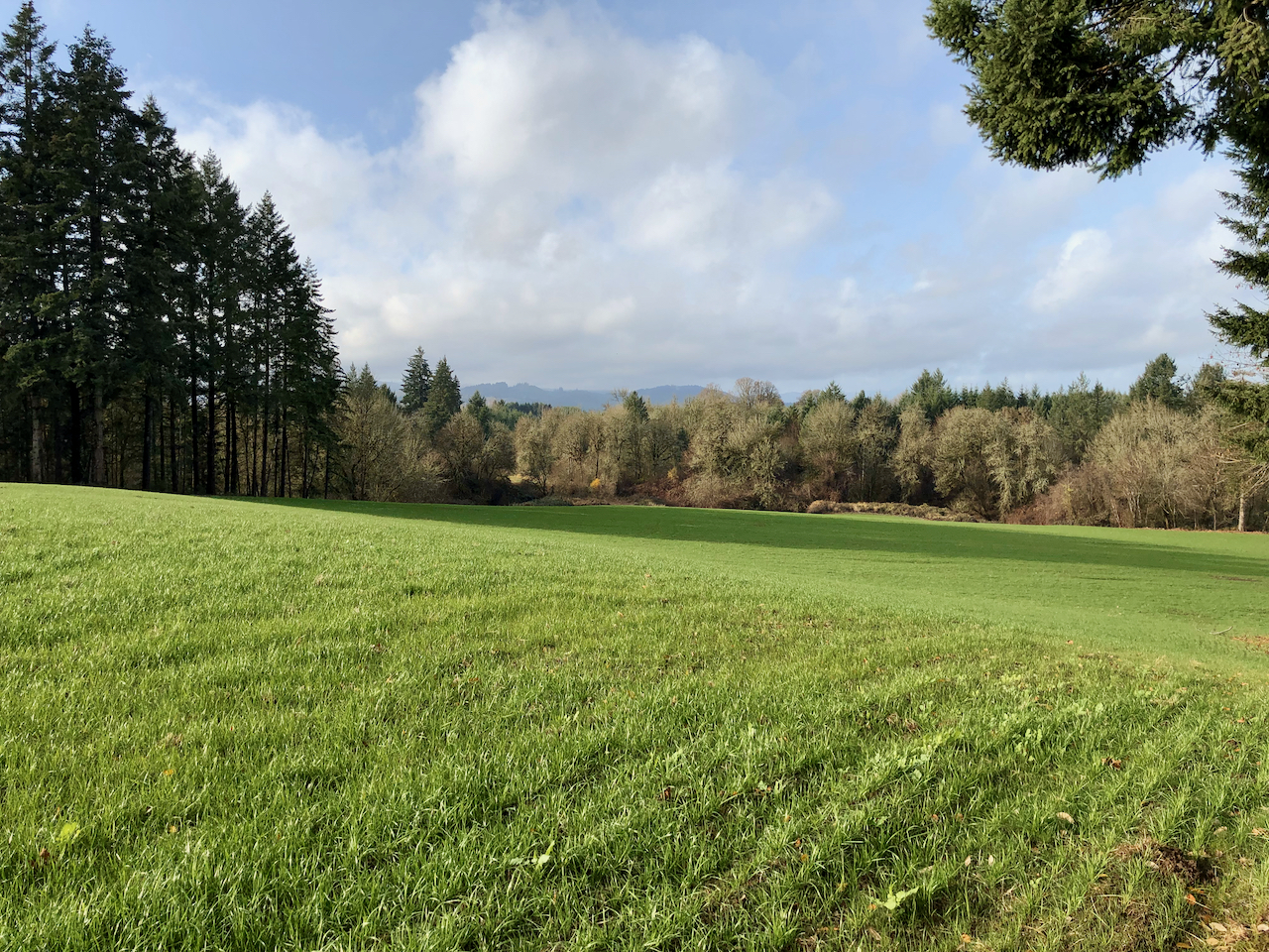
Hiking on the Farm
This translates into a push for daily exercise which is primarily accomplished thanks to my dog, Brook’s, need for exercise. We are fortunate to live on the outskirts of town next to a farm that provides ample routes for interesting dog walks. Brook and I probably average 4 miles a day of flatland hiking but that is not enough to keep me ready for the hike we went on yesterday.
Every week, typically on a decent weather day, I motivate myself to take on a hike that includes a vertical climb.
Trappist Abbey Hike
Many times that may be a 5 mile loop up and around the Trappist Abbey which gives us a 1000 foot vertical. Yesterday, 12/26/2019, we took on Elk Mountain in the Tillamook State Forest which is only a 3 mile round trip but the 2000′ vertical over such a short route is punishing. One of those hikes where you do have to stop many times to let your heart slow down. A hike where an old guy does think about turning around before the summit, but that cannot happen. Of course the reward of making the vista summit is worth it, but the true reward comes from your sore legs that confirm that your body can still perform.
 Yesterday was a beautiful cold sunny Oregon day in the coastal range which was ideal for the Elk Mountain climb. The trail was in excellent condition partly due to the frozen ground.


The views are better in the winter when vegetation is at a minimum. Overall, Elk Mountain is a great hike that will challenge any physically fit hiker. So I feel good that I only have some sore legs which tell me that I am still able to participate in my passion.
(See previous backpacking Elk Mountain Post – Mountain Top Experience)
What is the correct prescription of exercise for an old guy like me. I have had 65 years to learn what my body can handle. I have paid the price for being out of shape and then over exerting myself which might typically lead to back problems. I was young enough to recover and learned to be more cautious but I was able to cheat on staying in shape. Those days are over, My greatest fear is that I will injure my back causing me to become out of shape which I know will severely impact my ability to pursue my passion. Thank God, I have avoided these back injuries for many years but only because I know that I must keep my overall body strong. A back is protected by all of your muscles working in harmony. Routine exercise is a requirement for living my dream so the Adventure Can Continue.


