Category Archives: nature

Turkey Run State Park
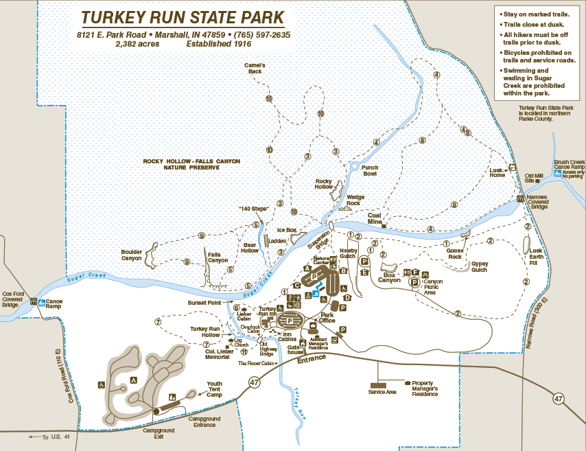
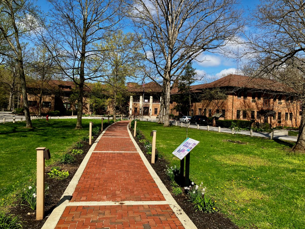
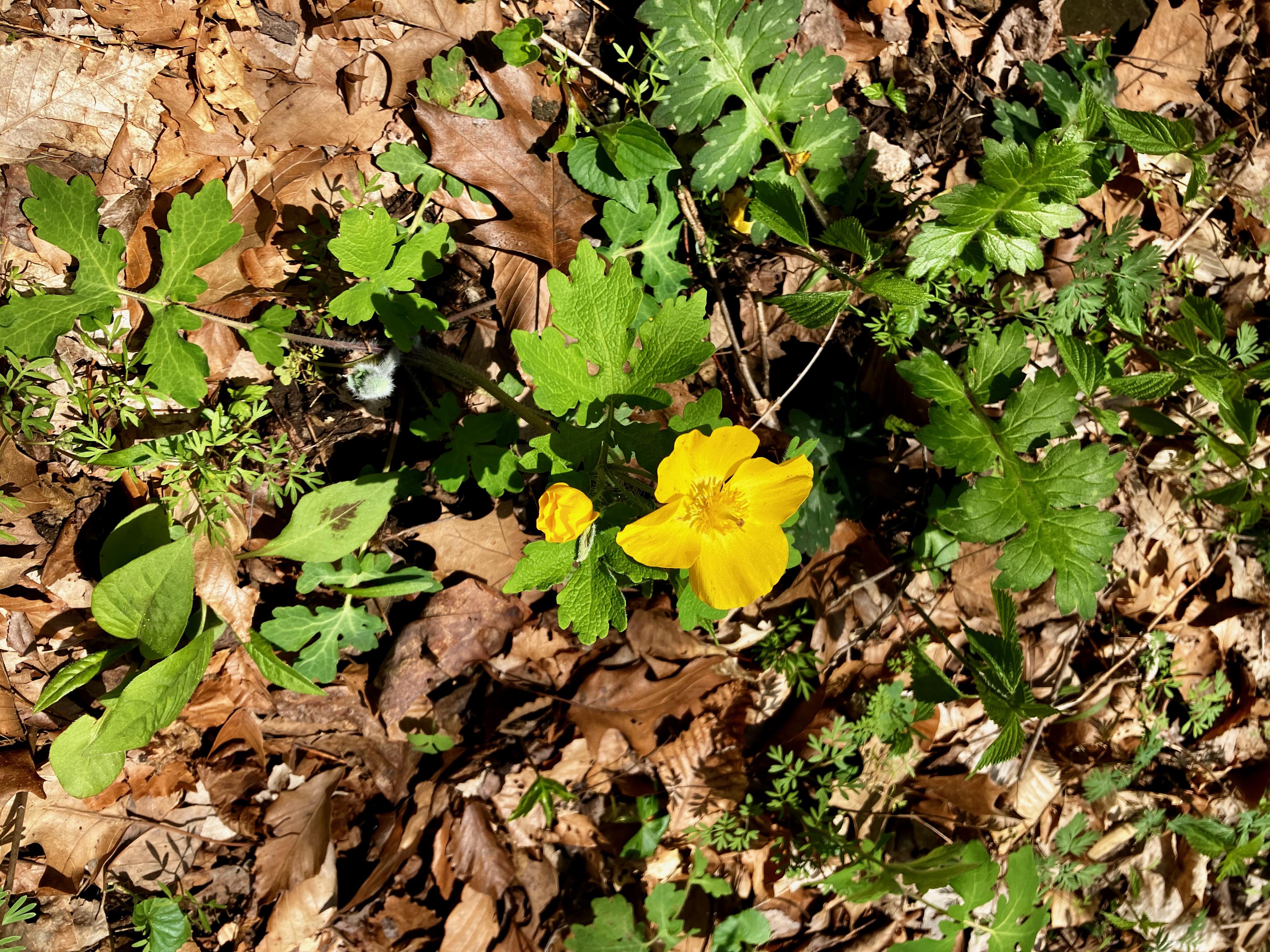
It is late April on a perfect weather day that I decided to visit Turkey Run, my favorite Indiana State Park when I was growing up. I was always impressed with the canyons cut through the limestone but I was worried that those canyons might seem smaller and less significant now that I am returning as an old man. But no, the park was all that I remembered it to be and even better hiking it on a perfect spring day. I will reference the trail map for perspective about my hiking path. I started at the Turkey Run Lodge which I have stayed at with my family back in the 90’s.
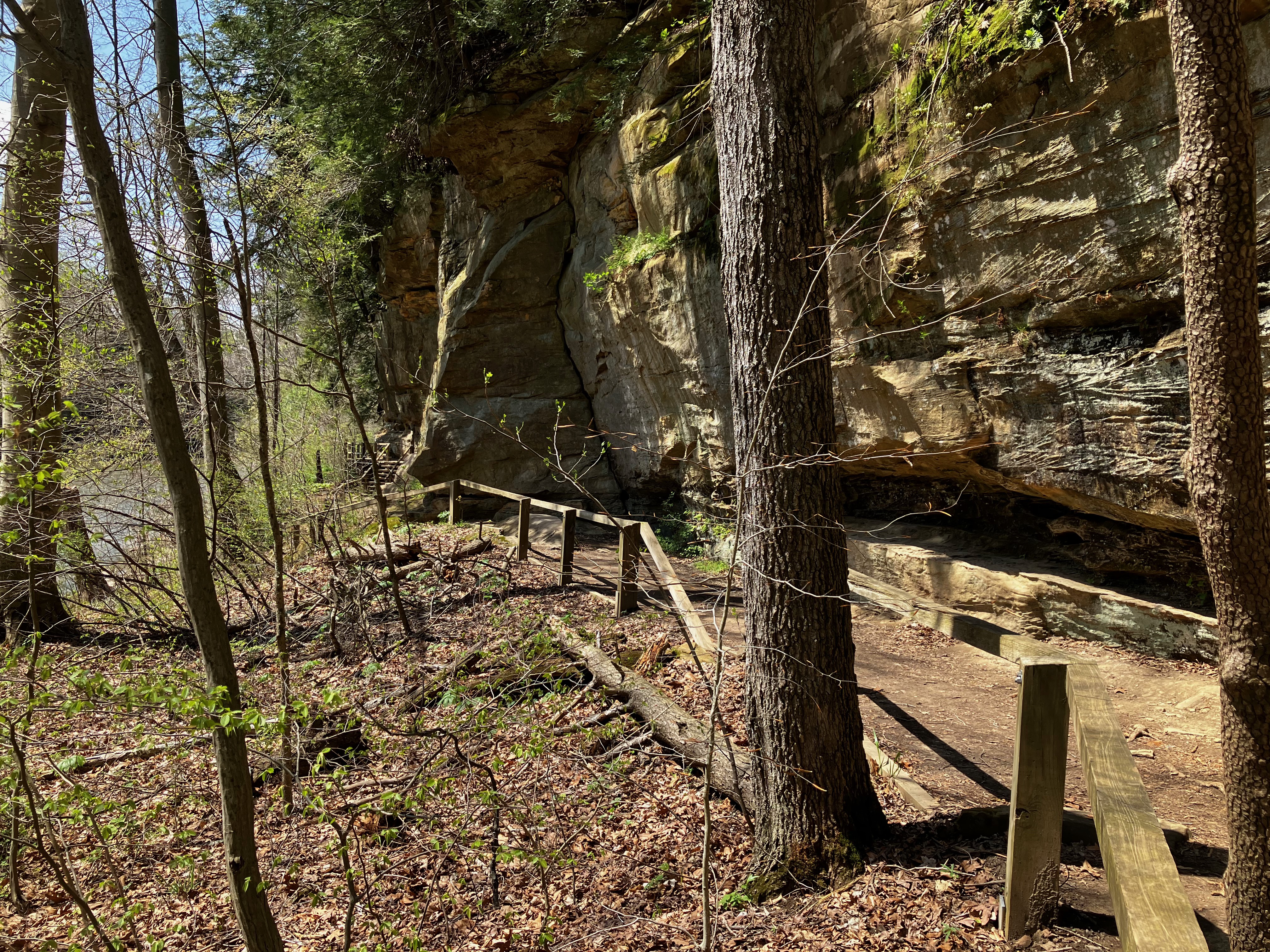
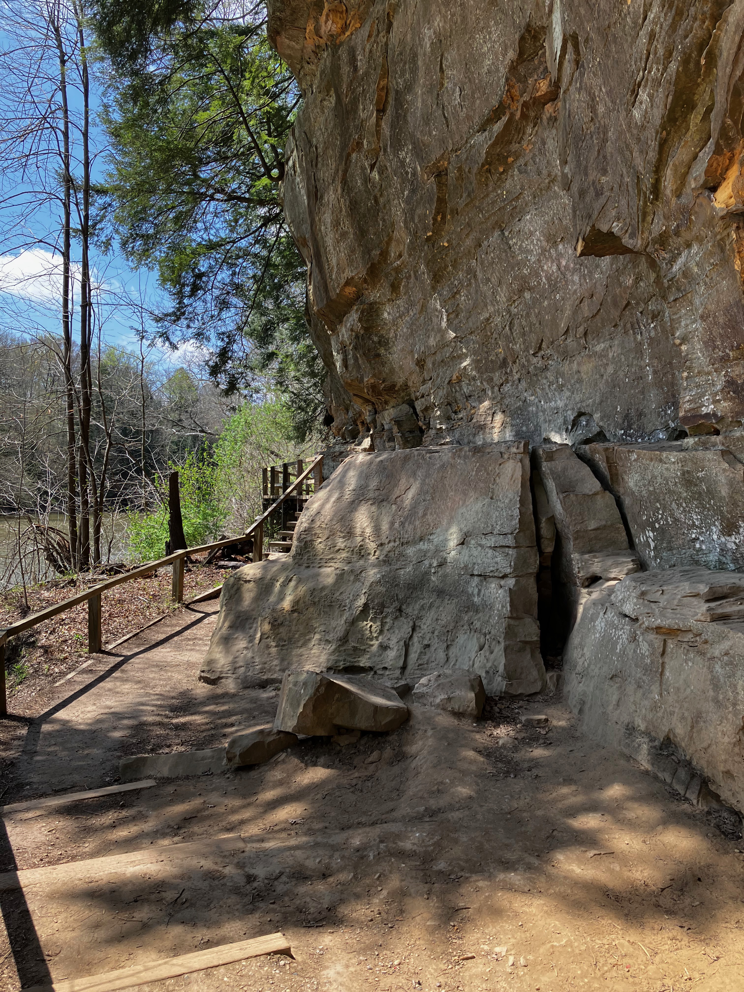
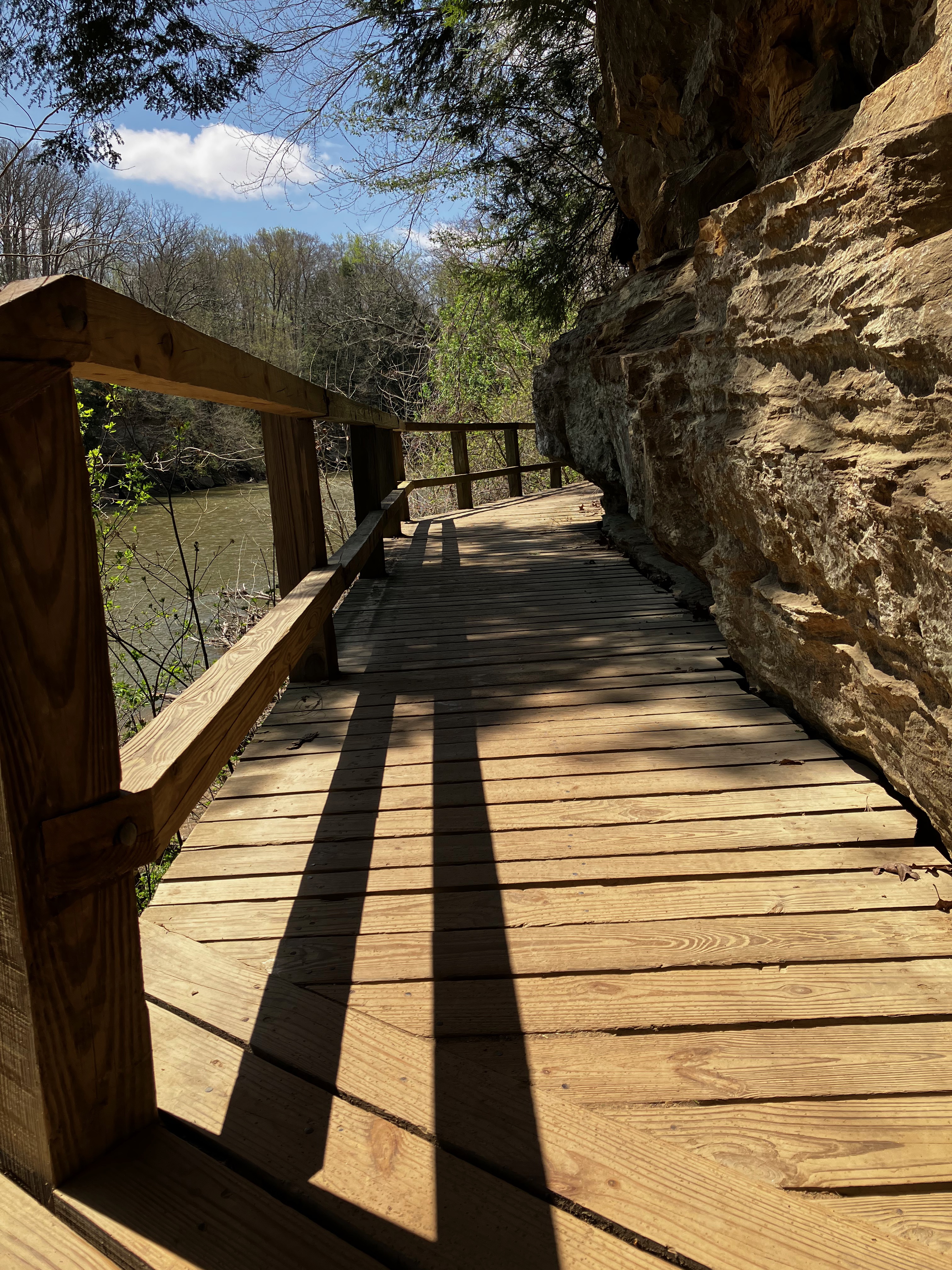
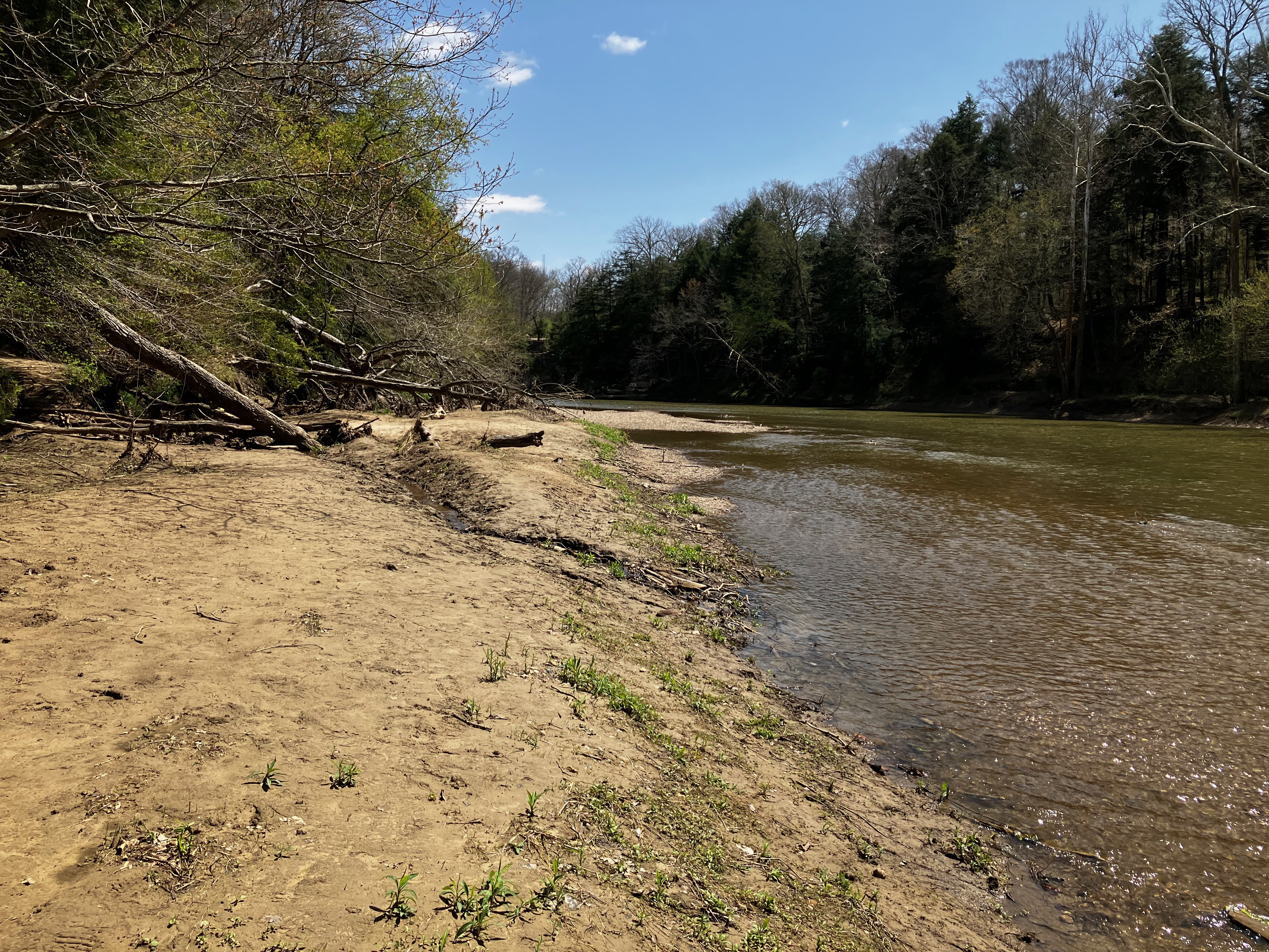
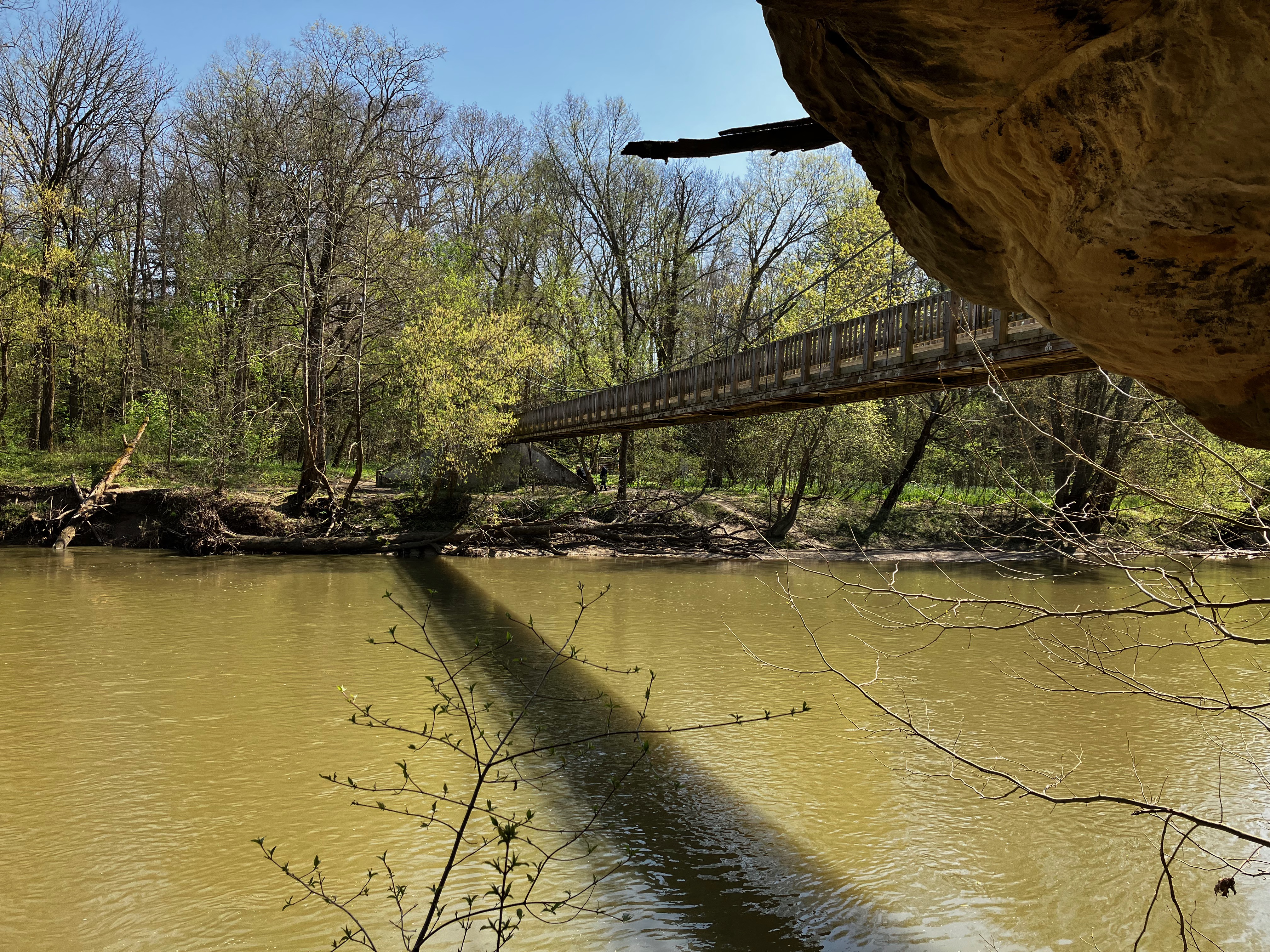
First I hiked down to Sunset Point past the Lieber Cabin, the best overlook of Sugar Creek

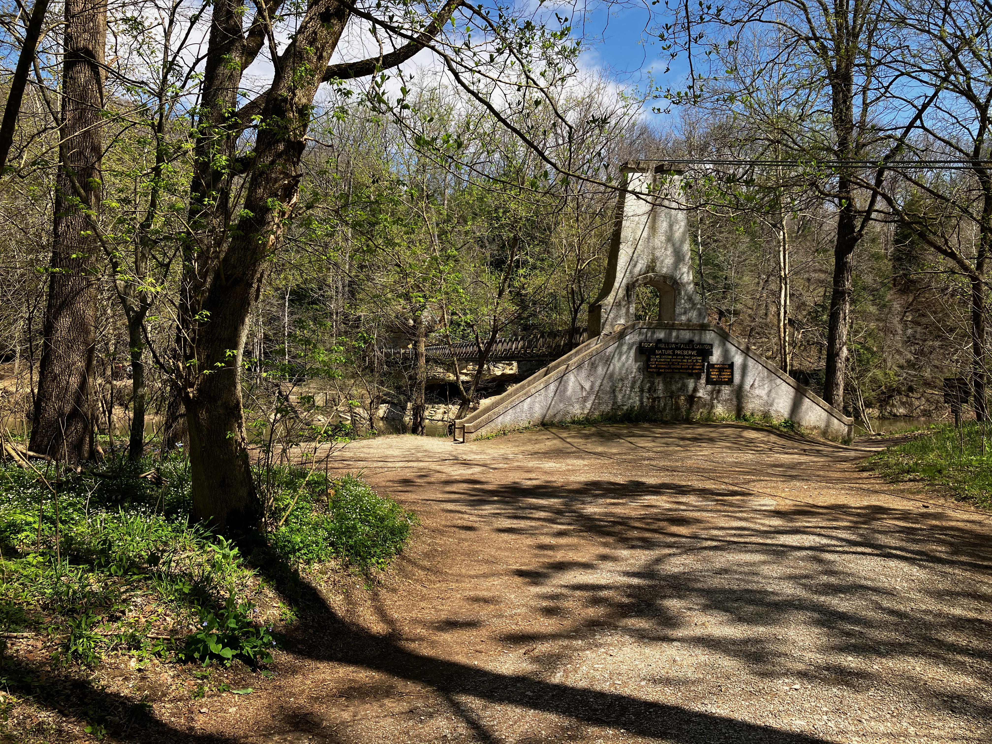
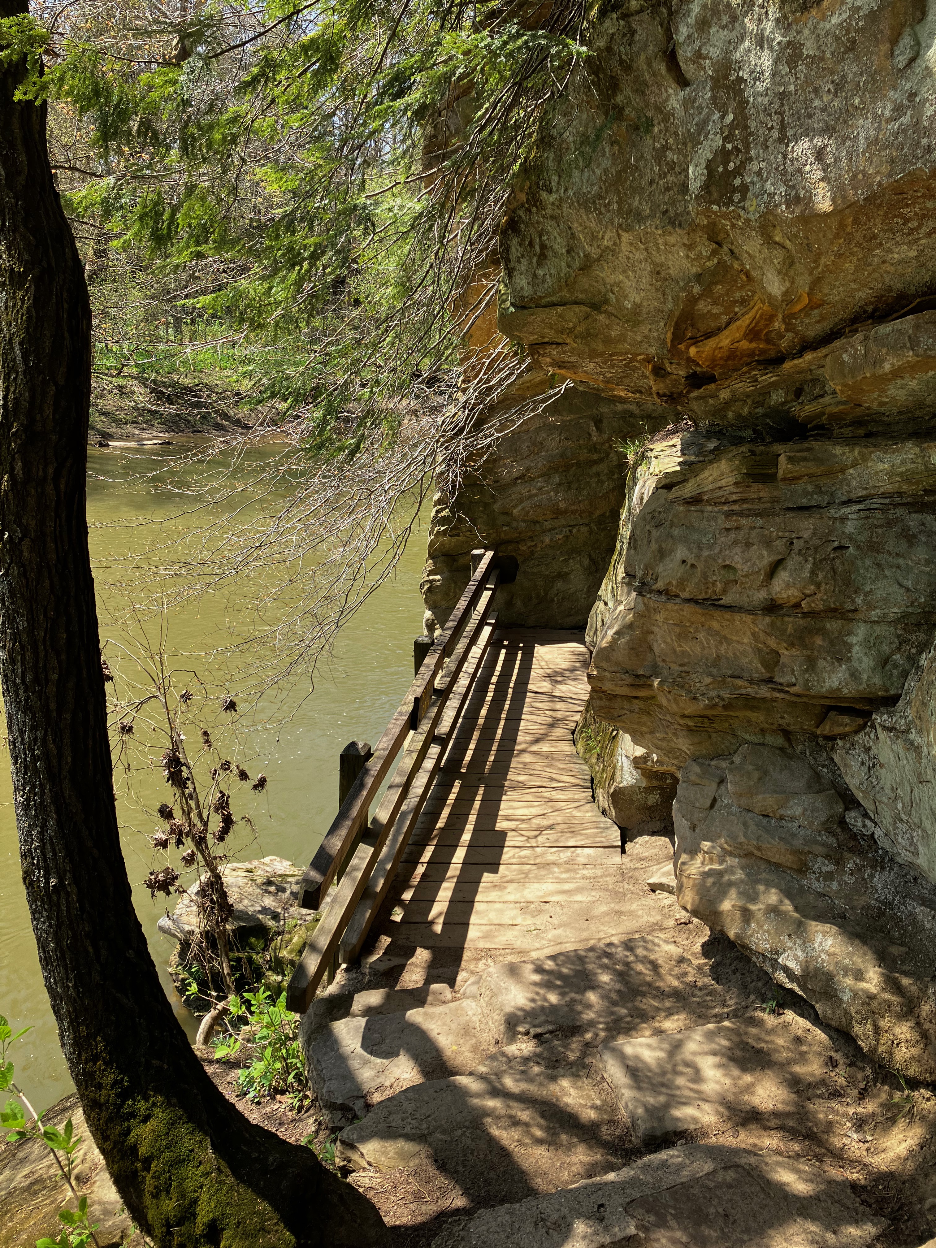
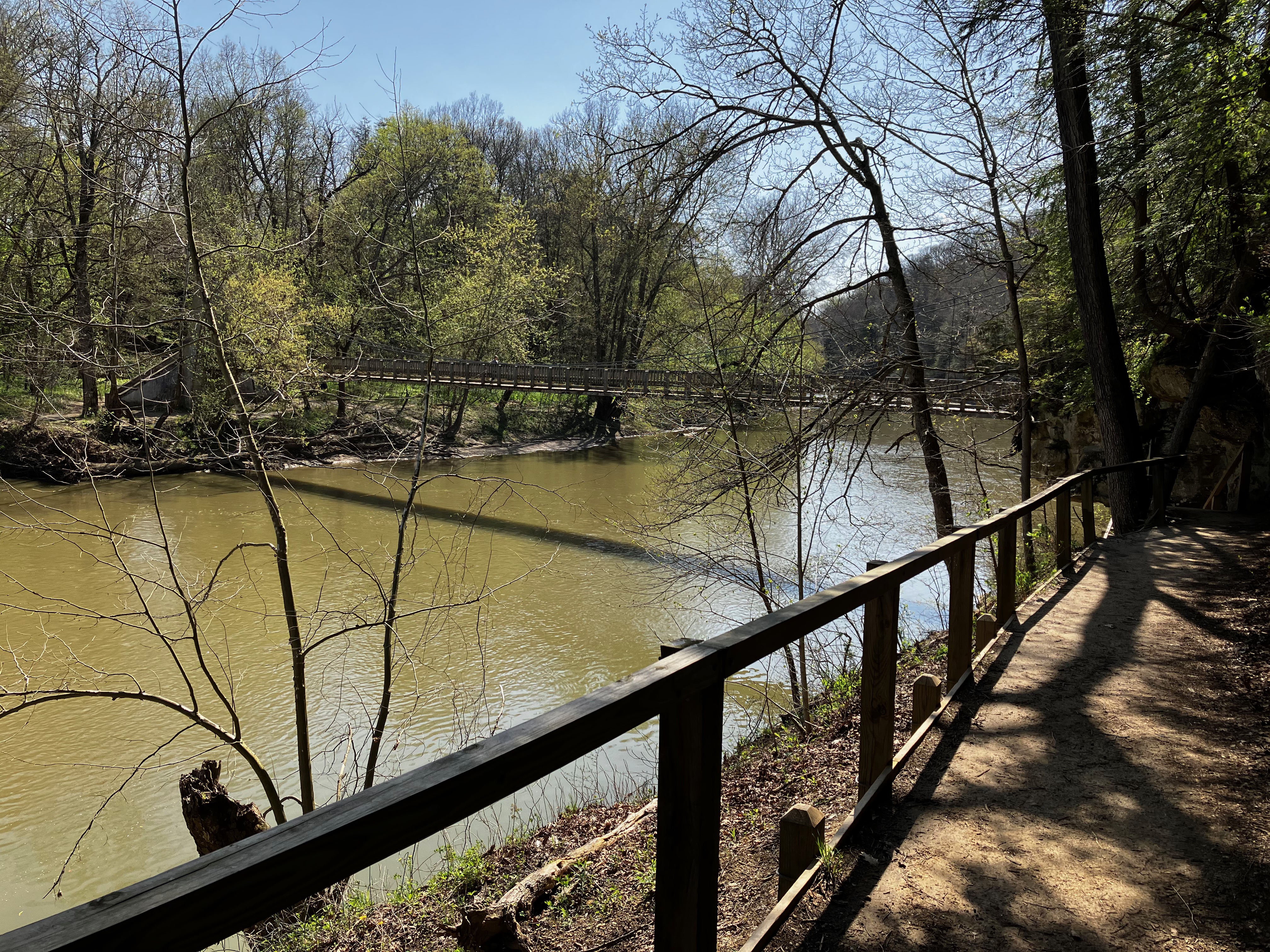
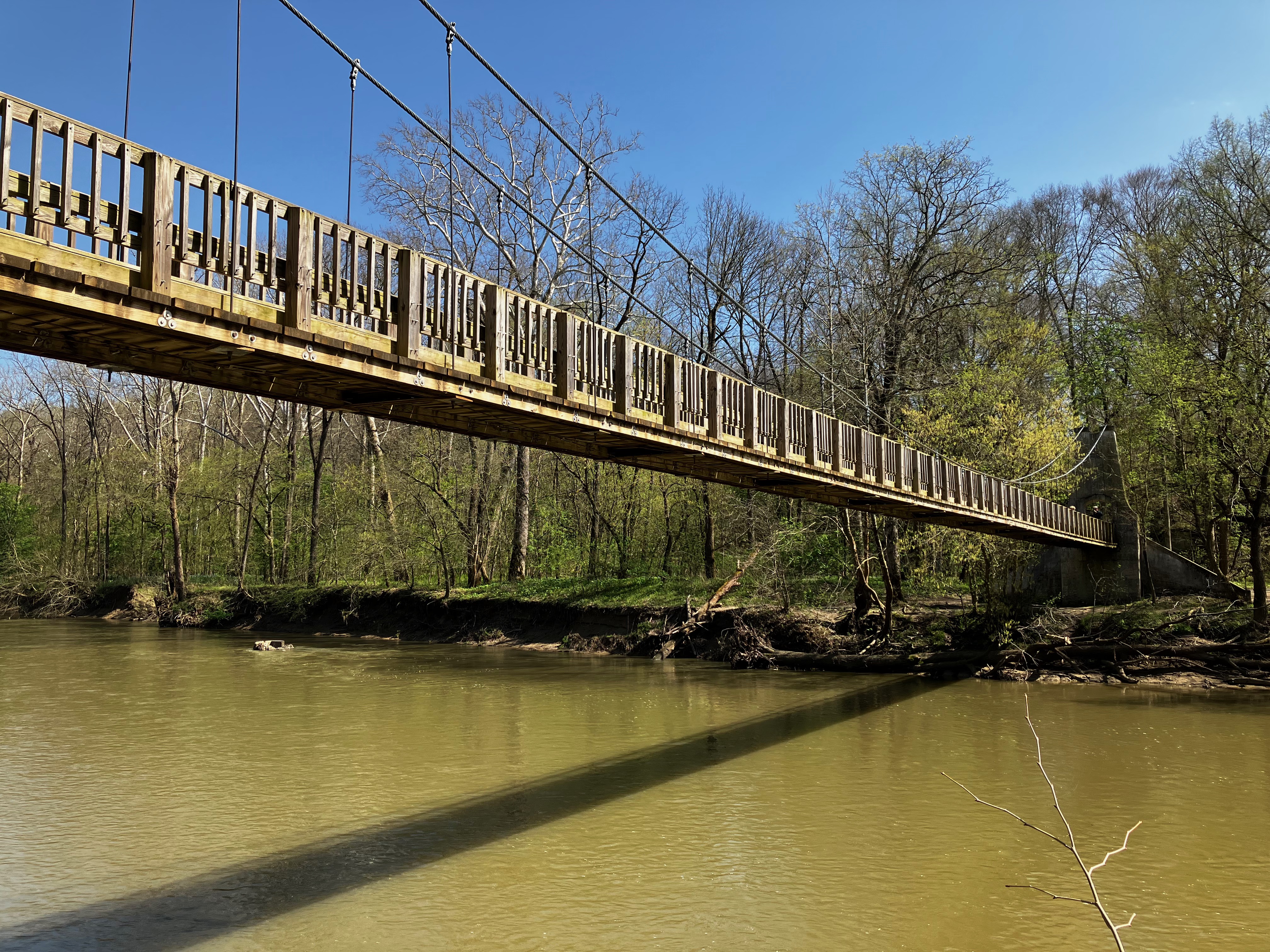
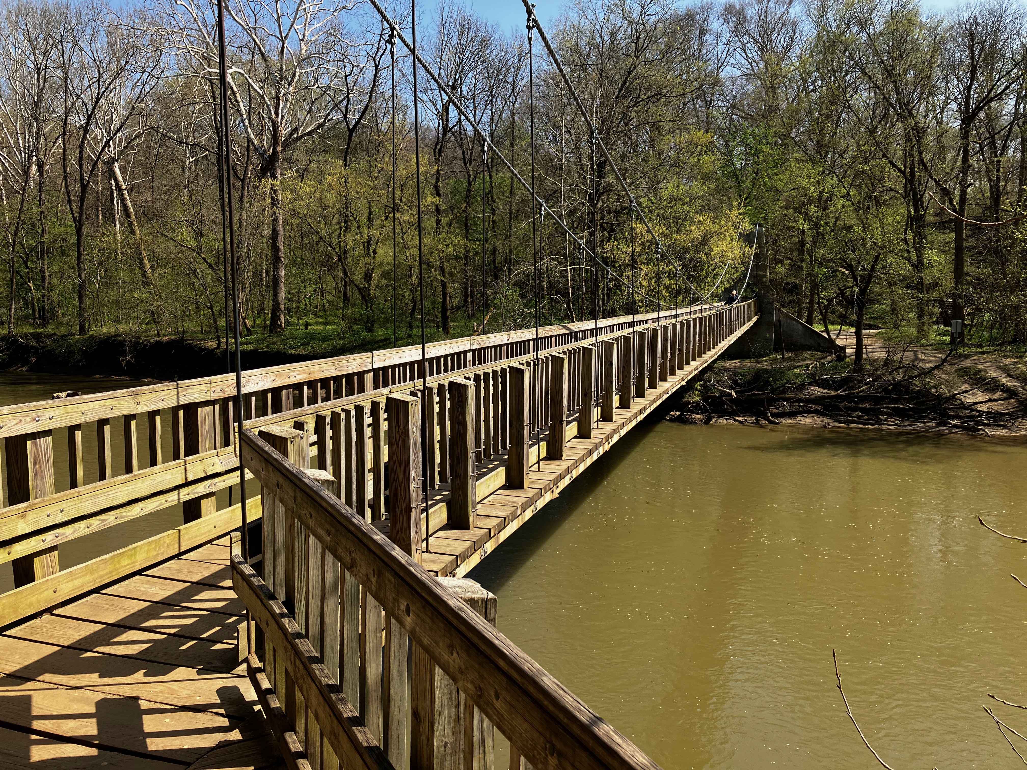
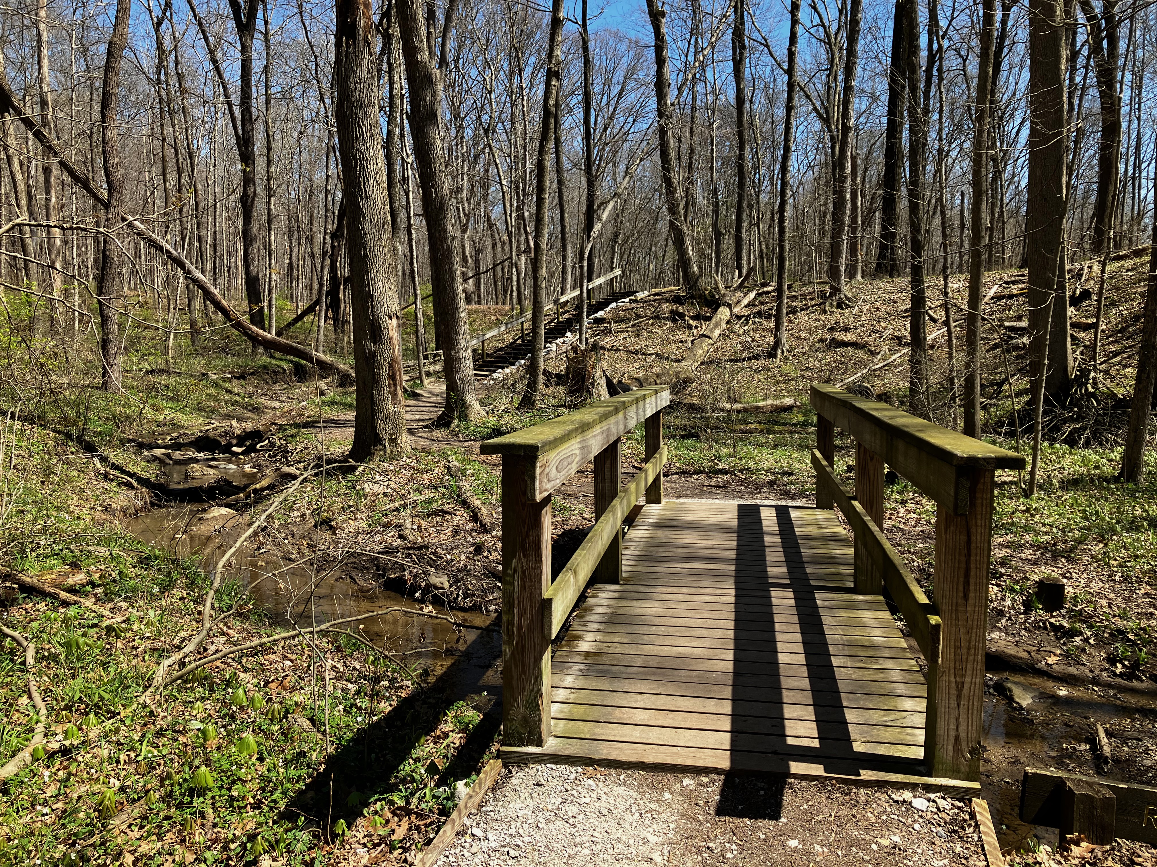
But the best trails are accessed via the suspension bridge over Sugar Creek.

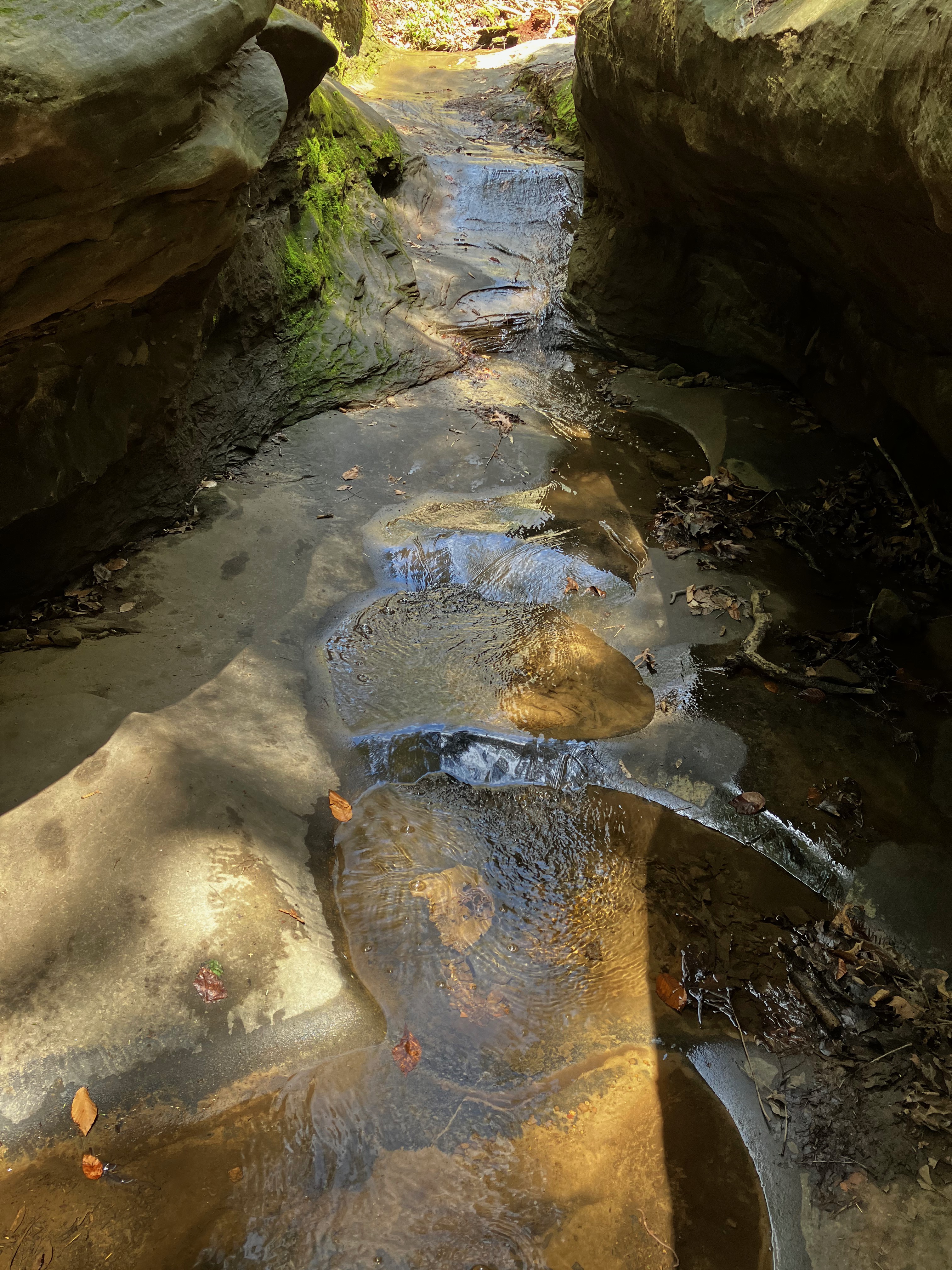
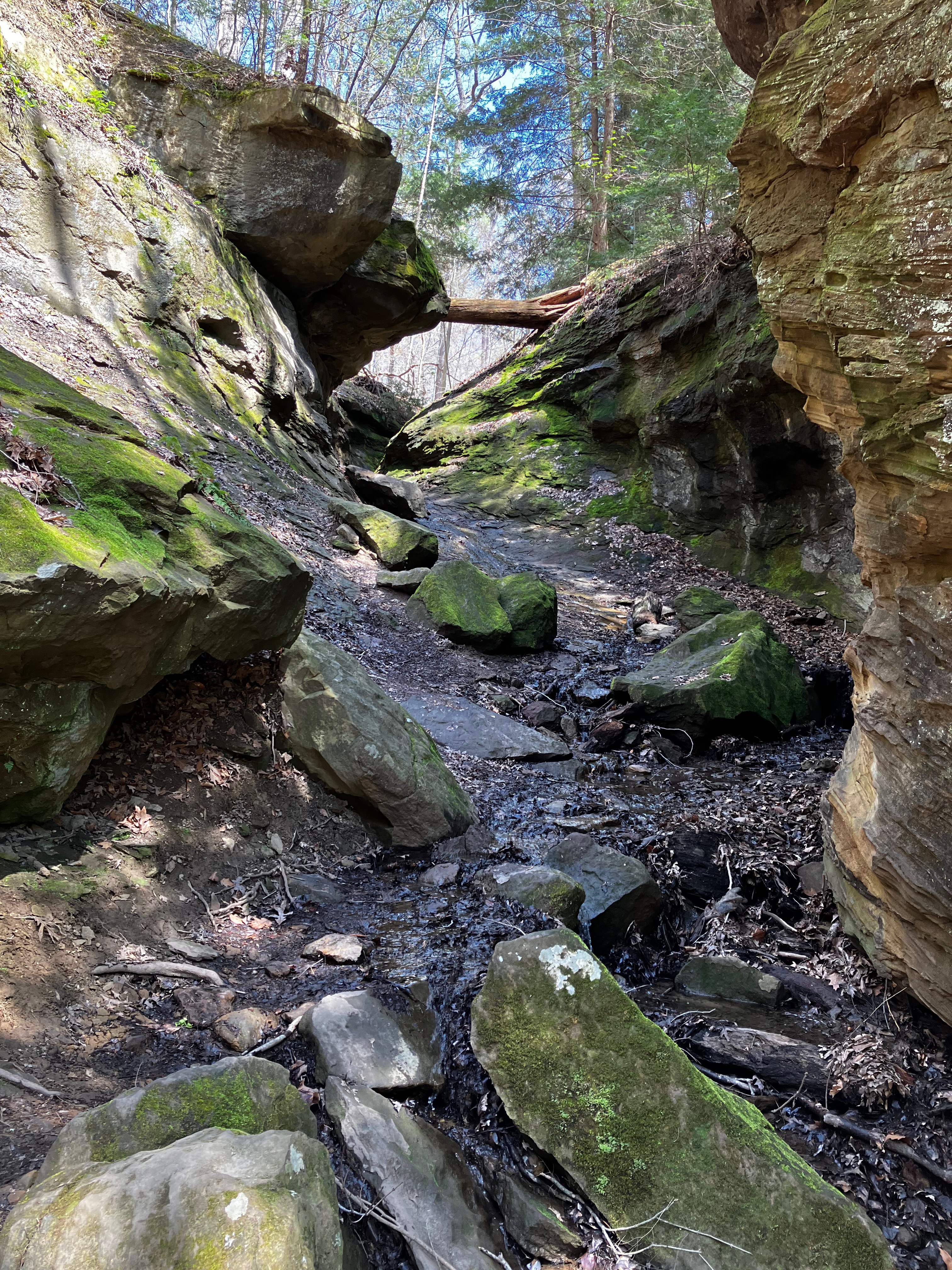
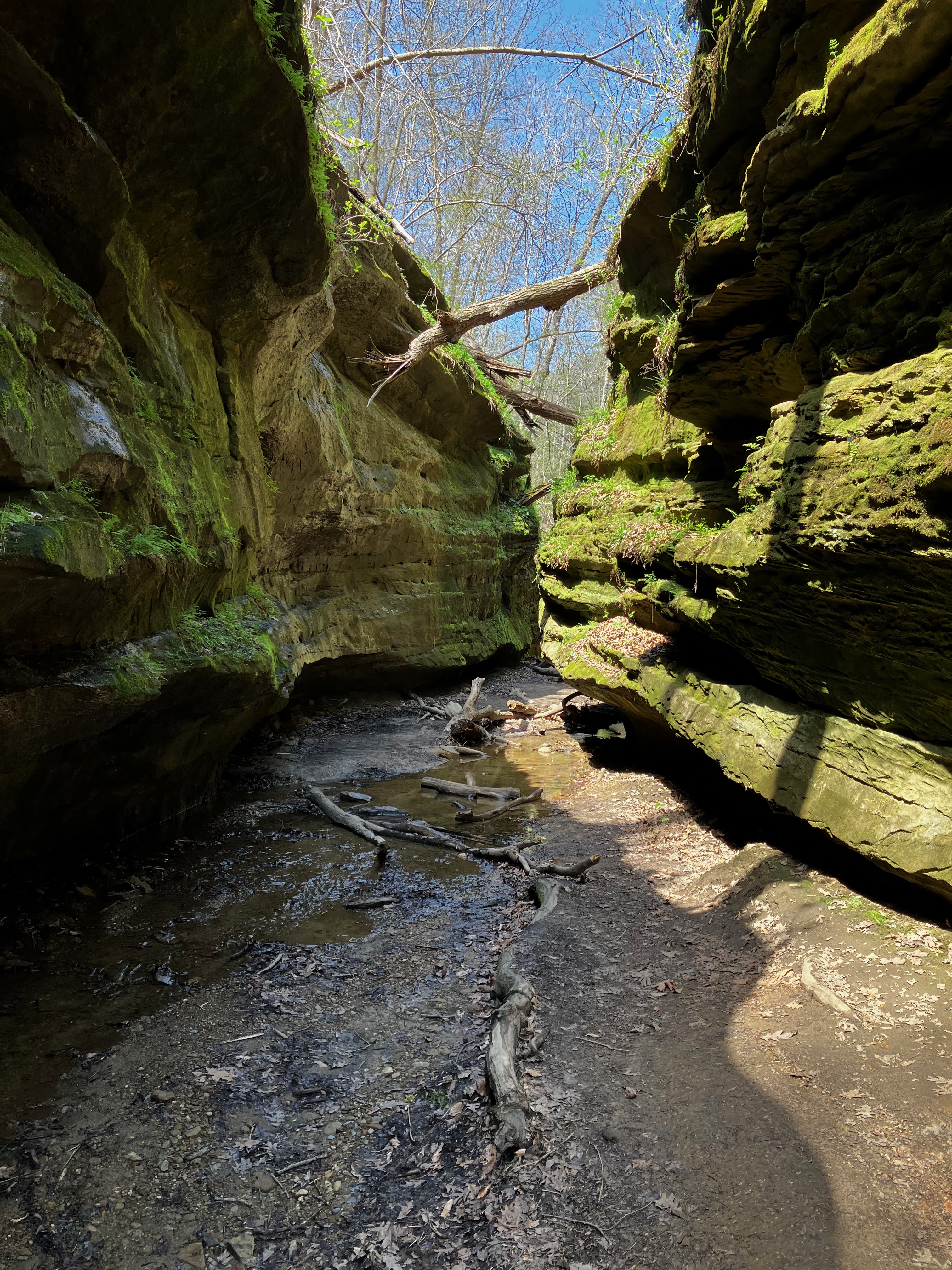
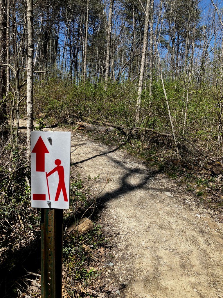
The first trail leading from the suspension bridge is #10 that takes you up through one of the deeper canyons but ends up with a narrow trail up a creek bed. I actually decided that this portion of the trail was too dangerous for an old guy and I turned around to take on the next trail option.
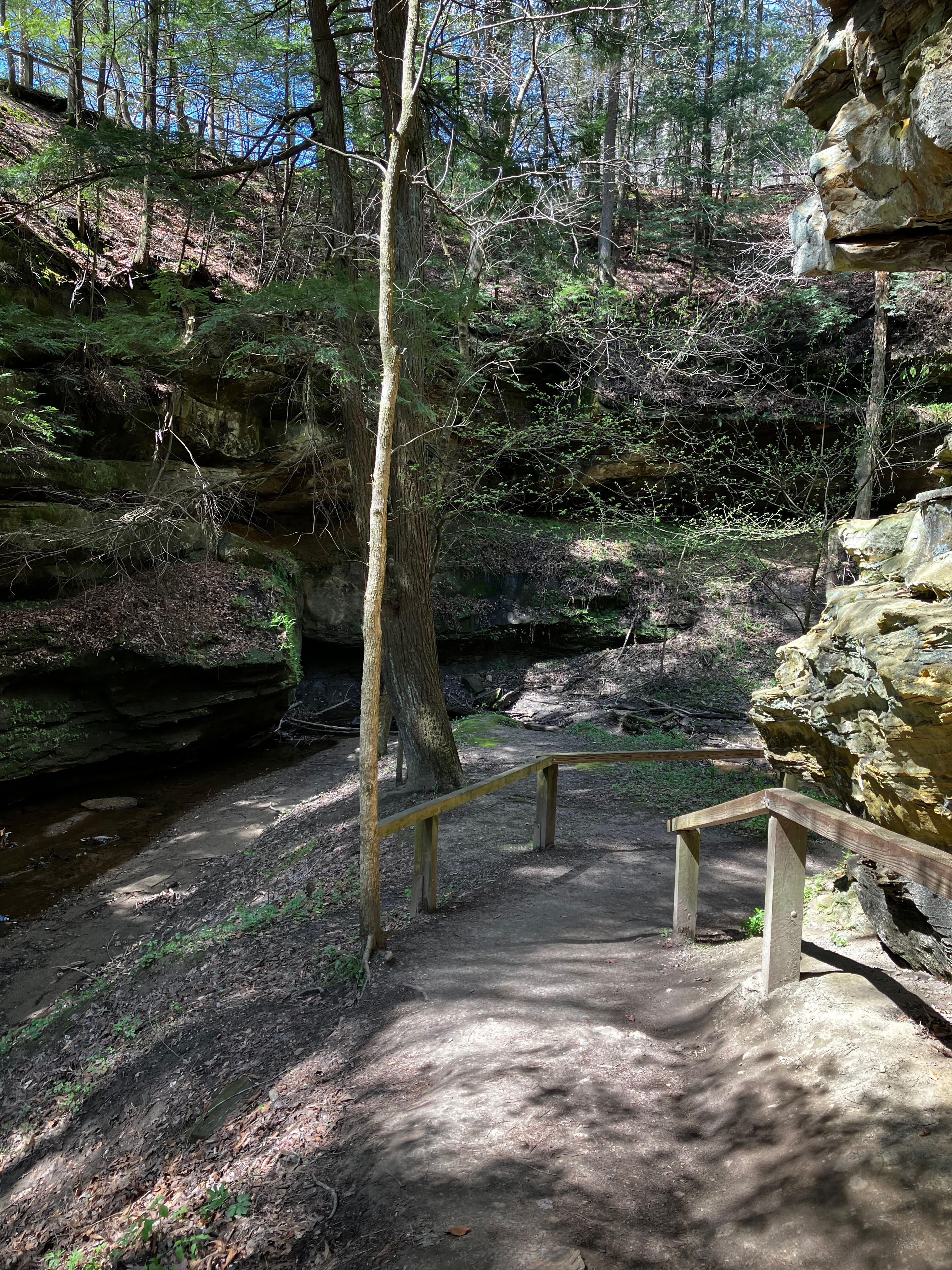

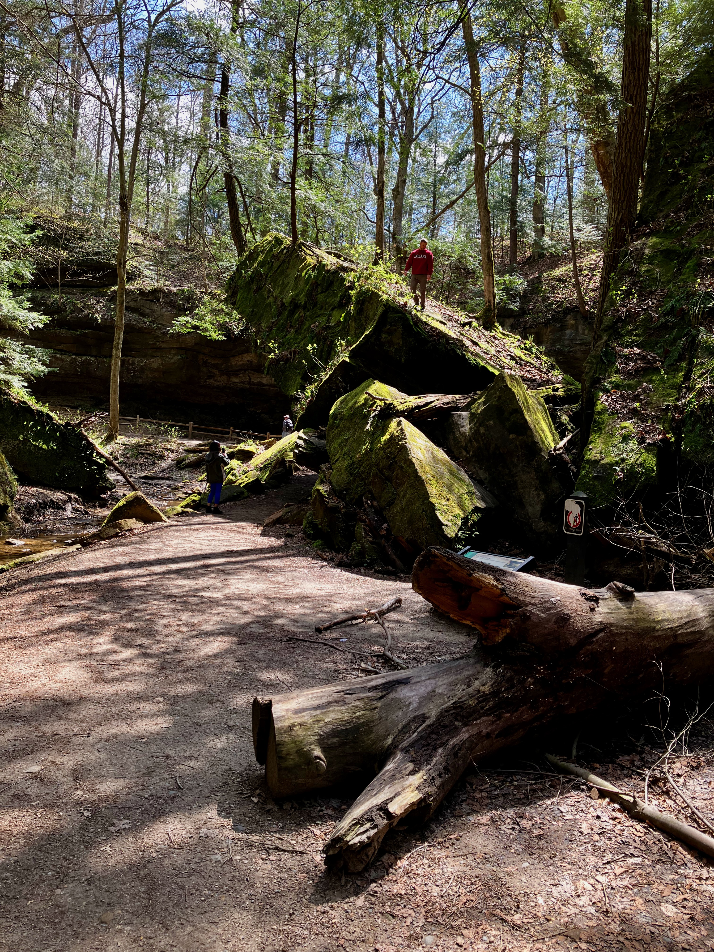

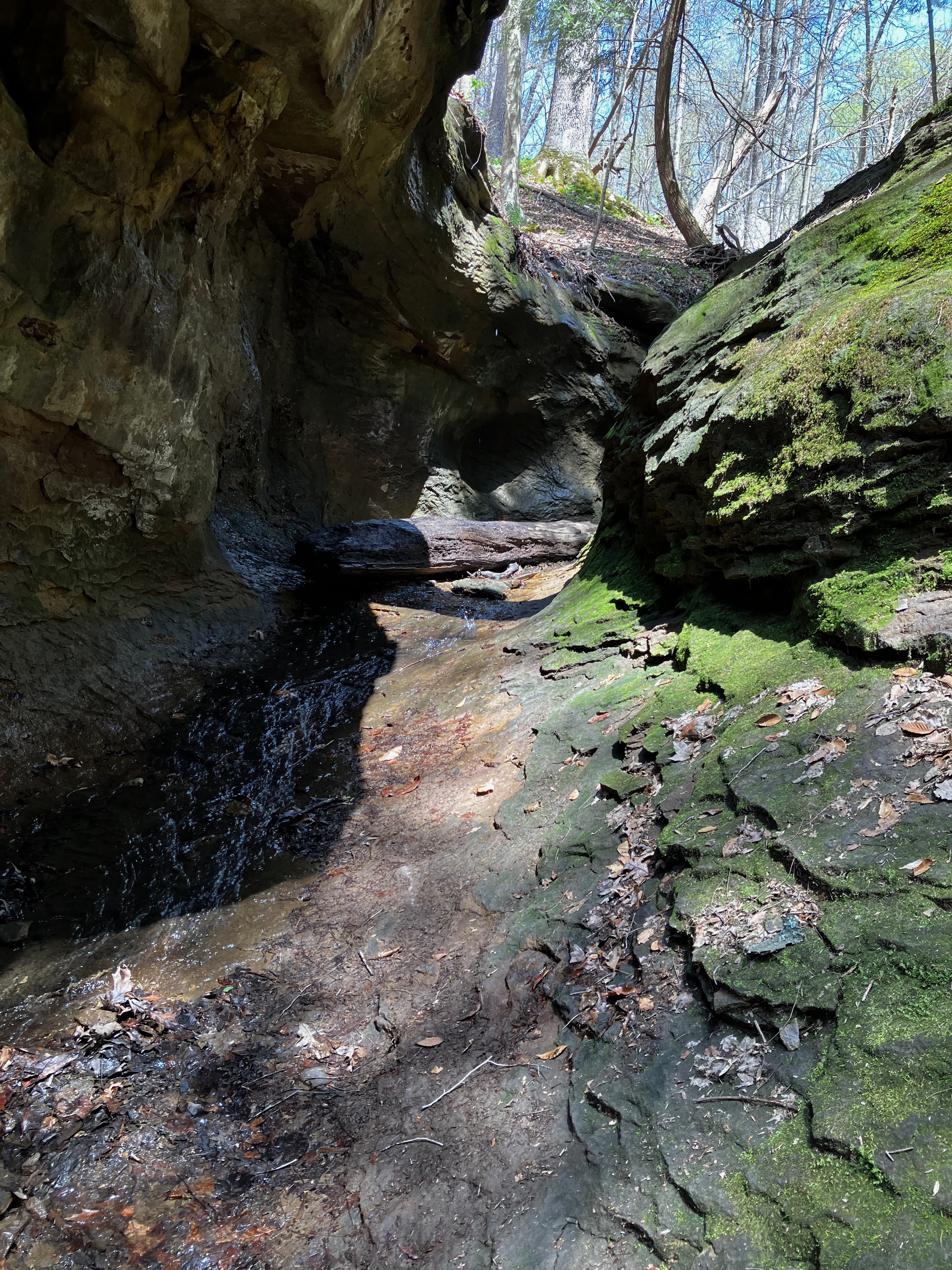
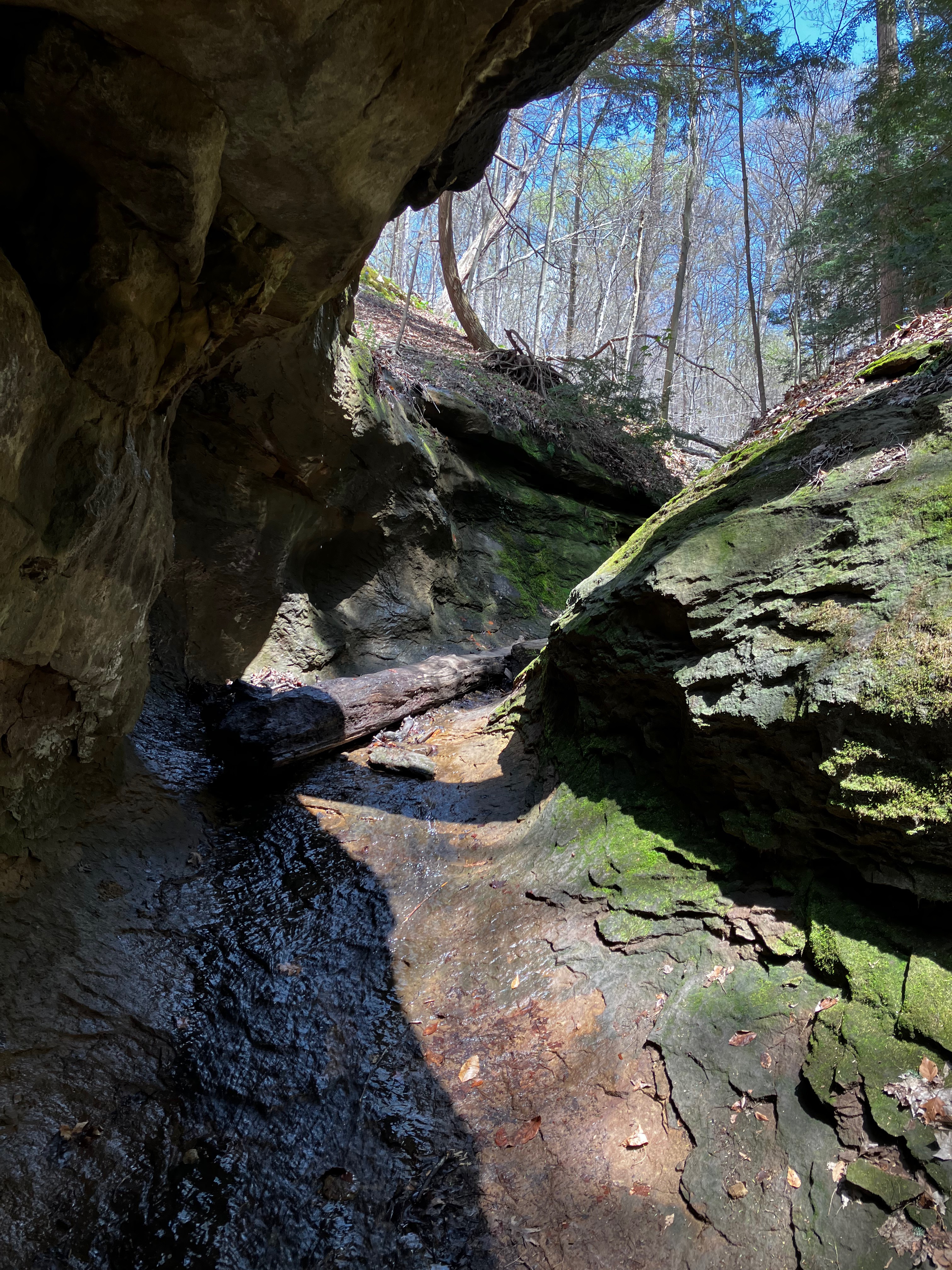
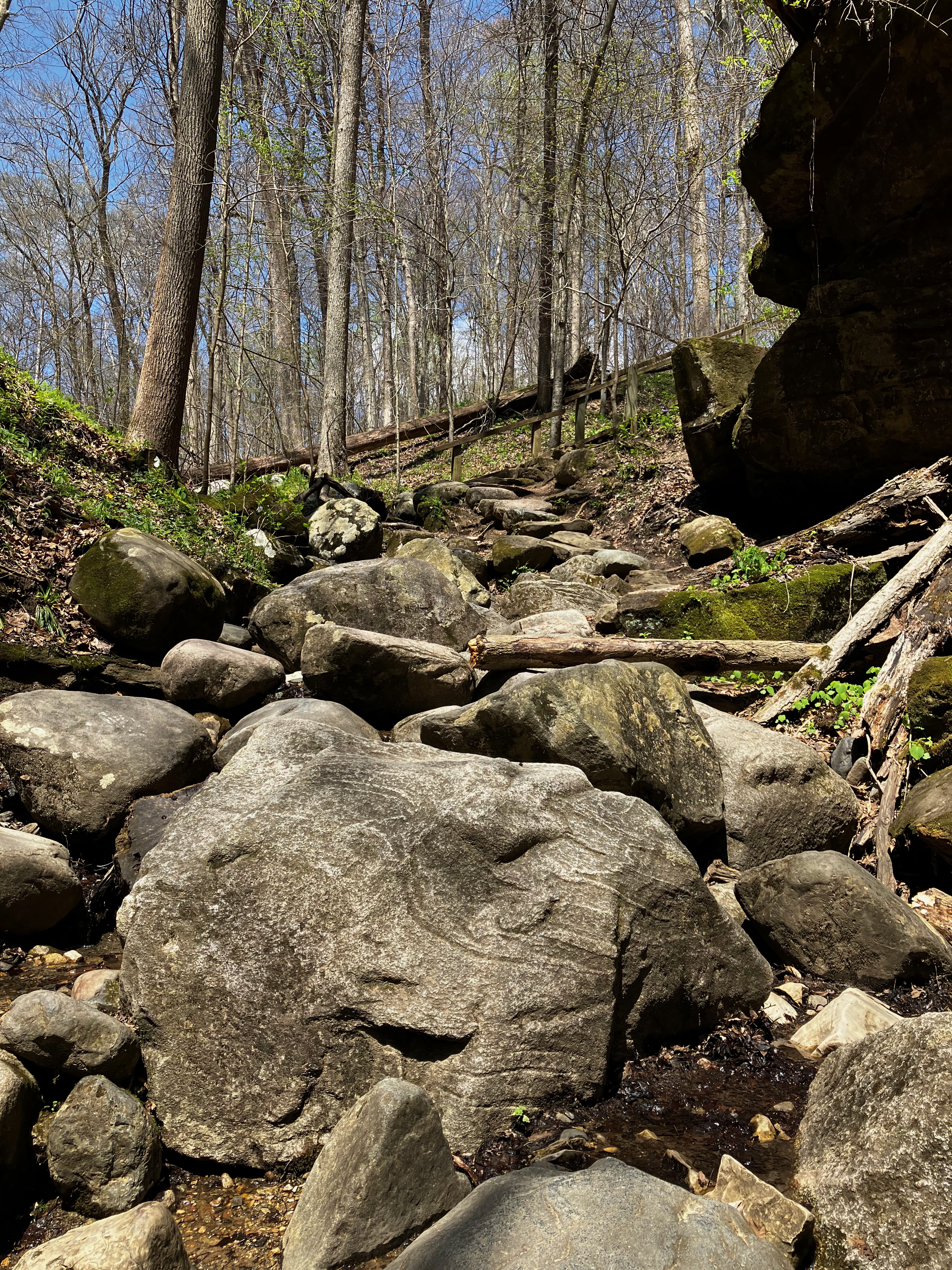
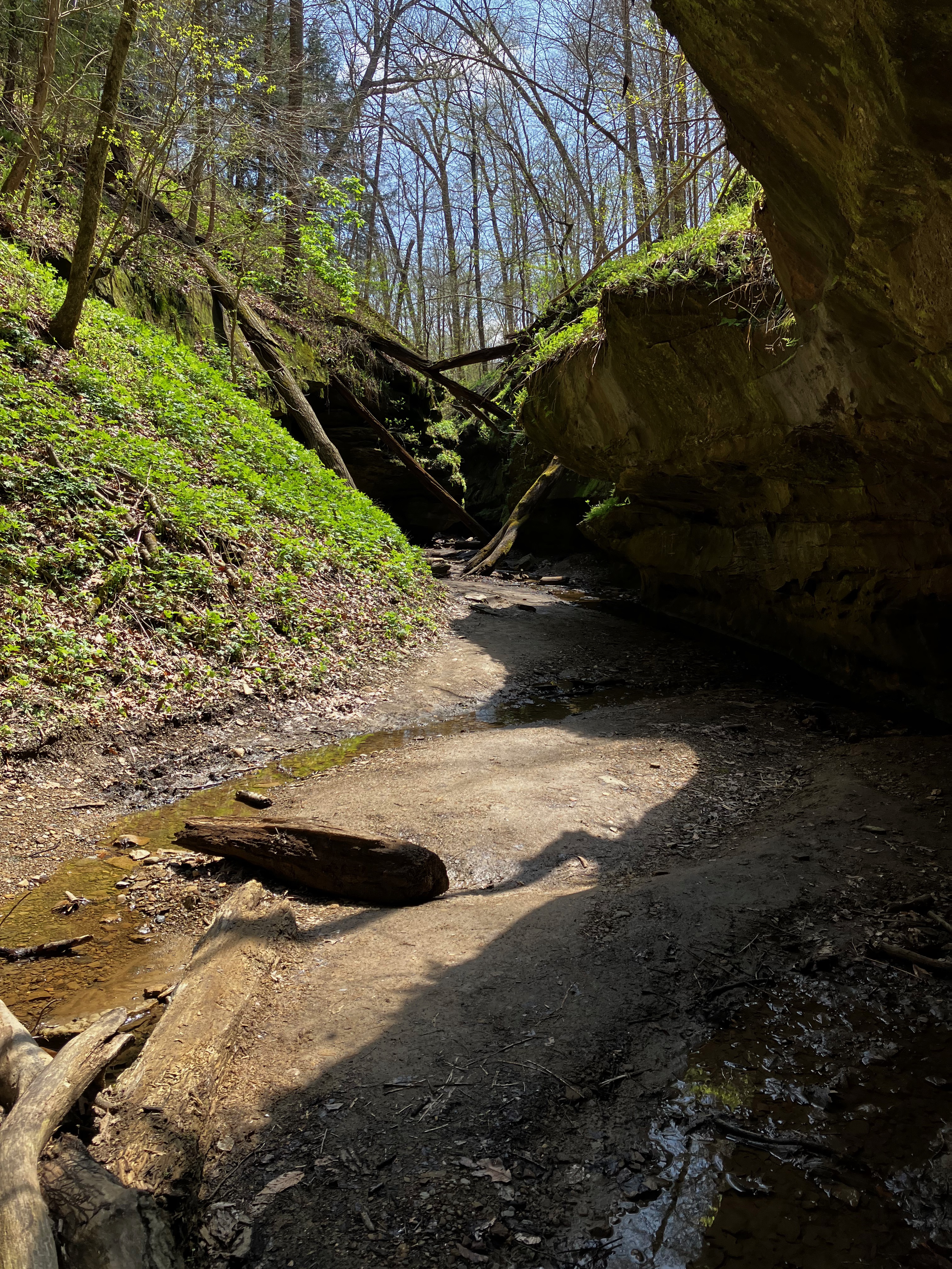
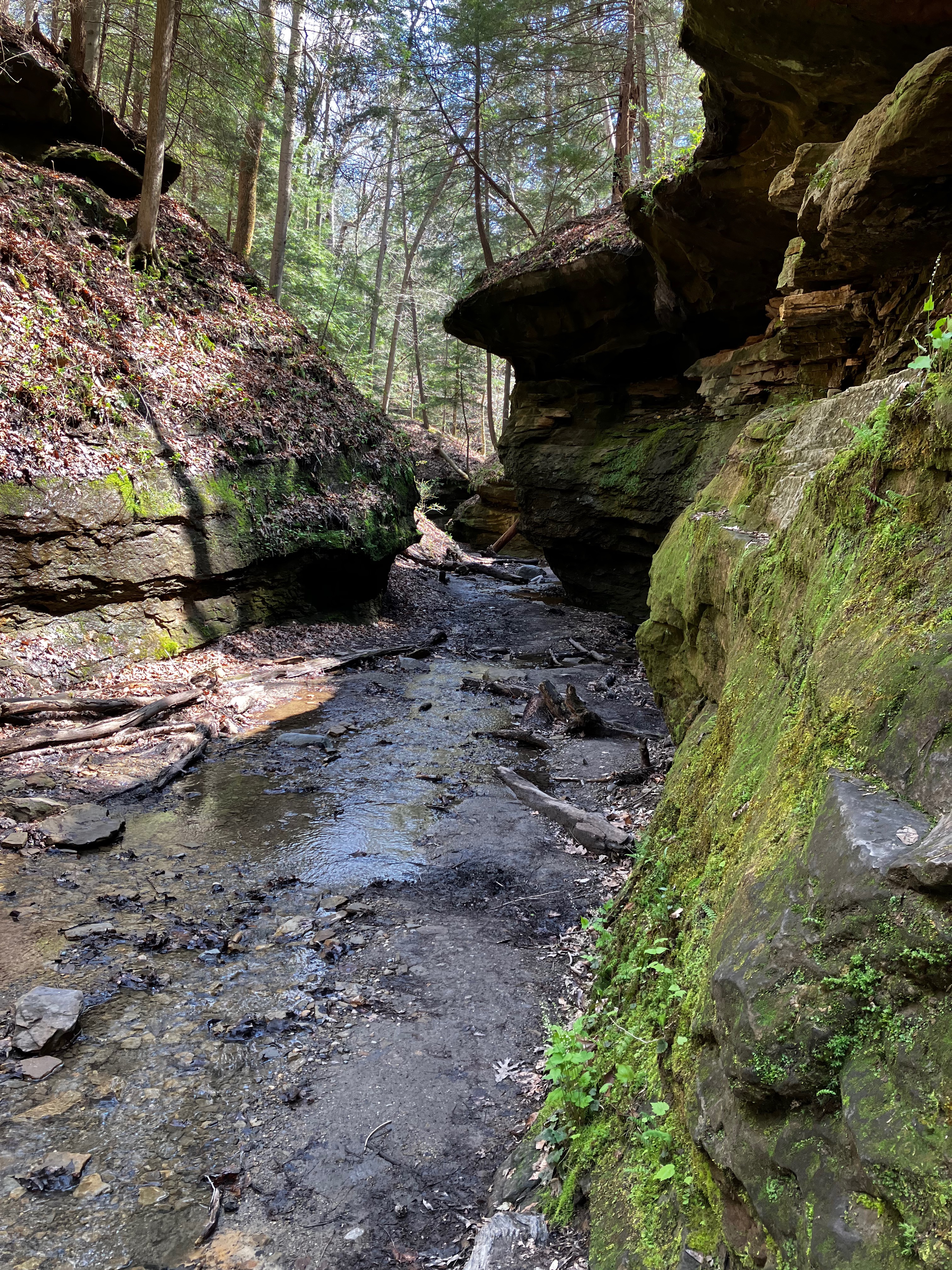
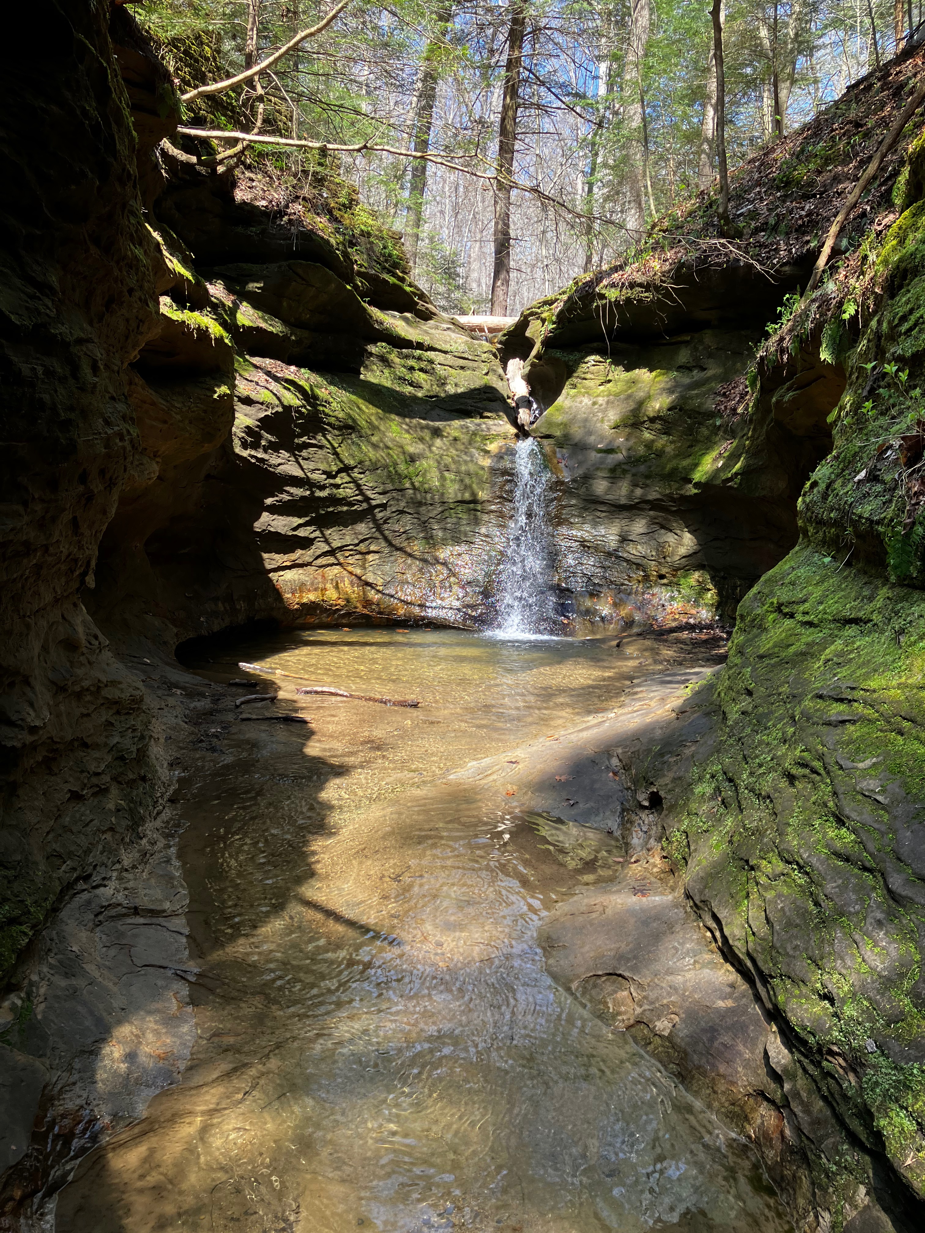
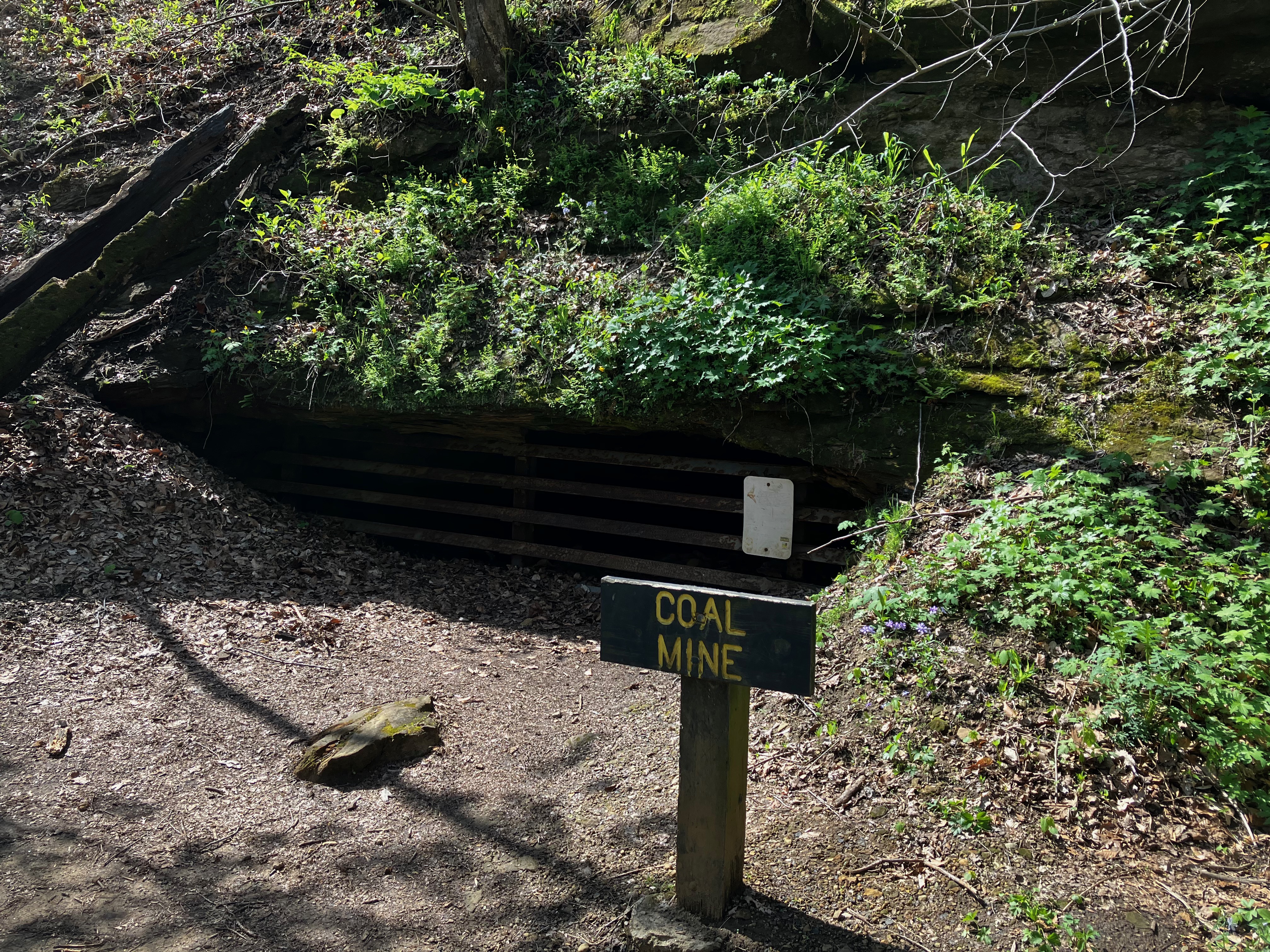
I next took on trail #3 that skirted the rocks near Sugar Creek heading over to the Ice Box. This is also where I started to experience the hundreds of steps that contributed to the overall day’s exercise.

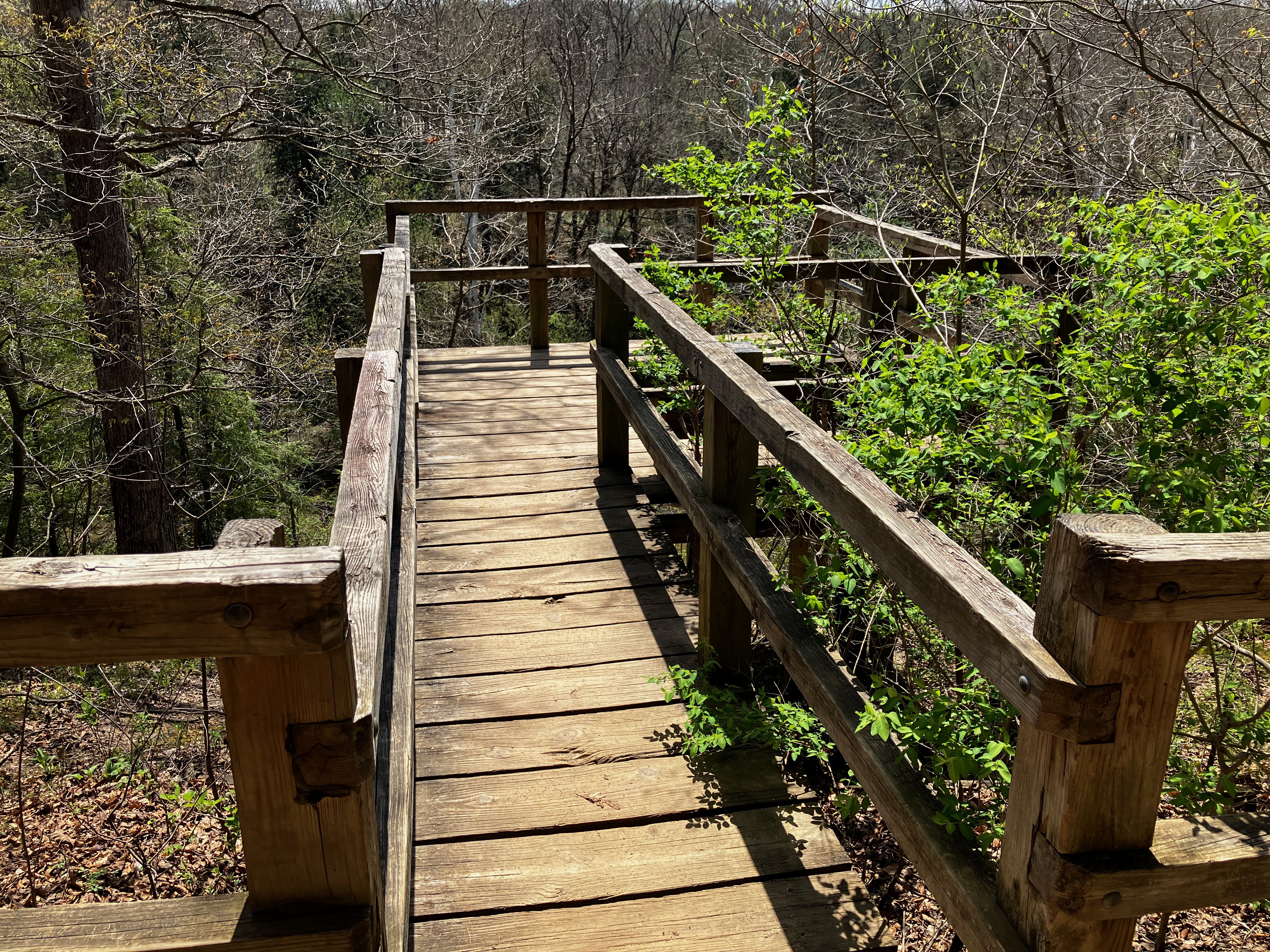

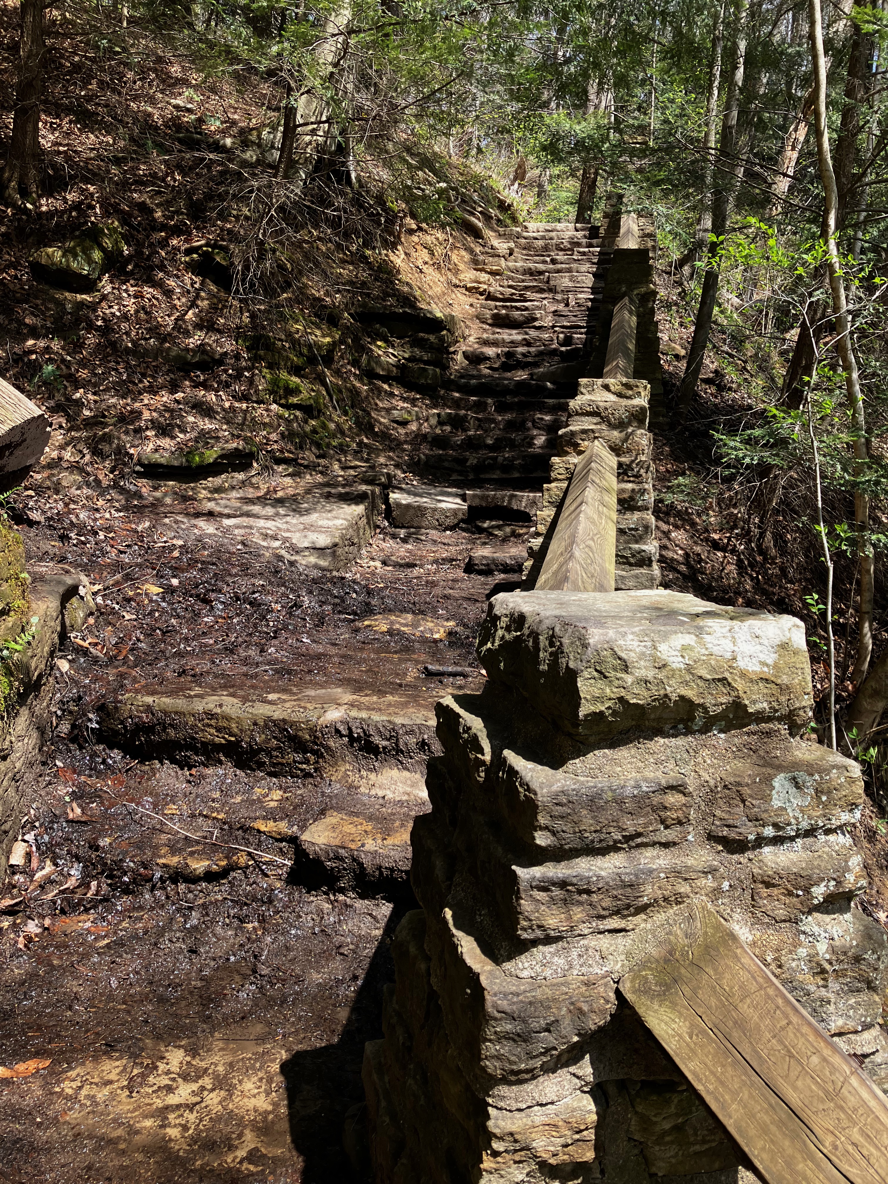

I kept to the Creek by continuing on trail #5 and may more steps.

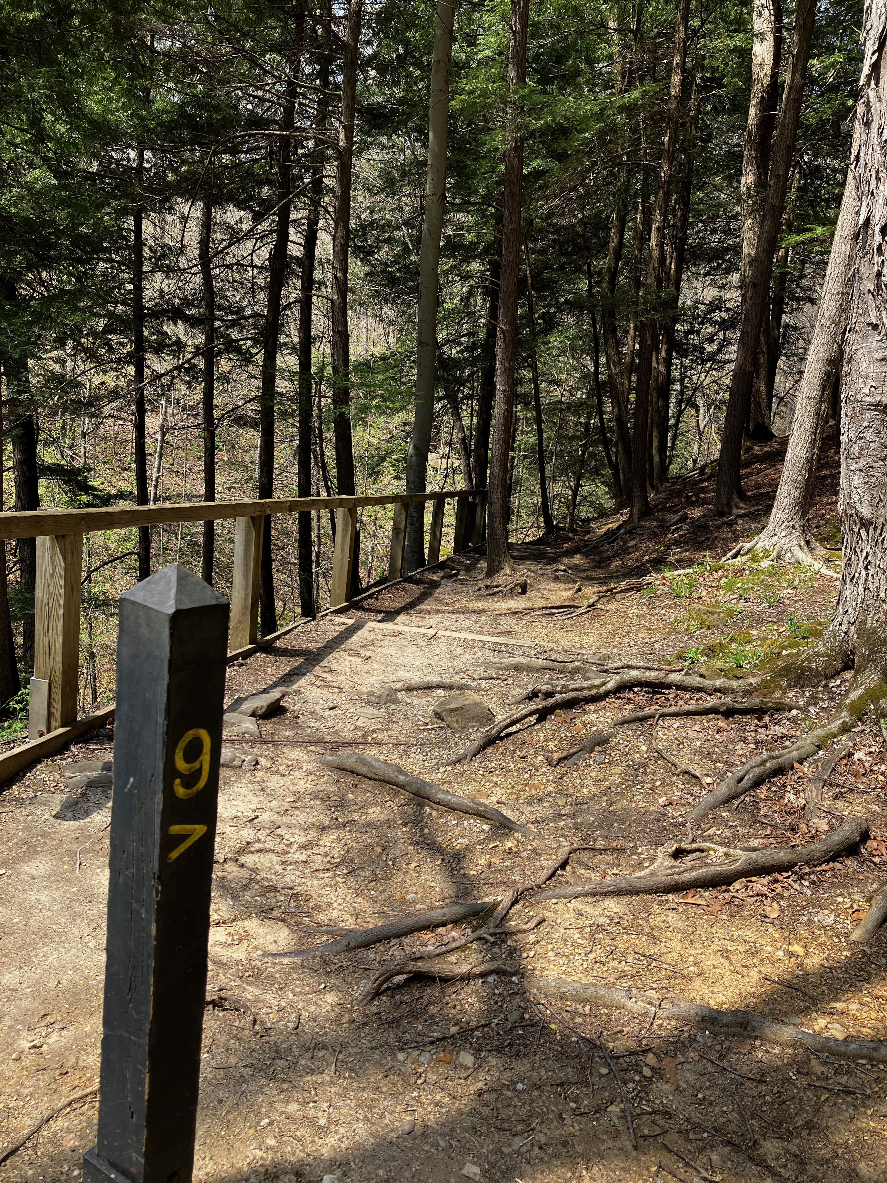
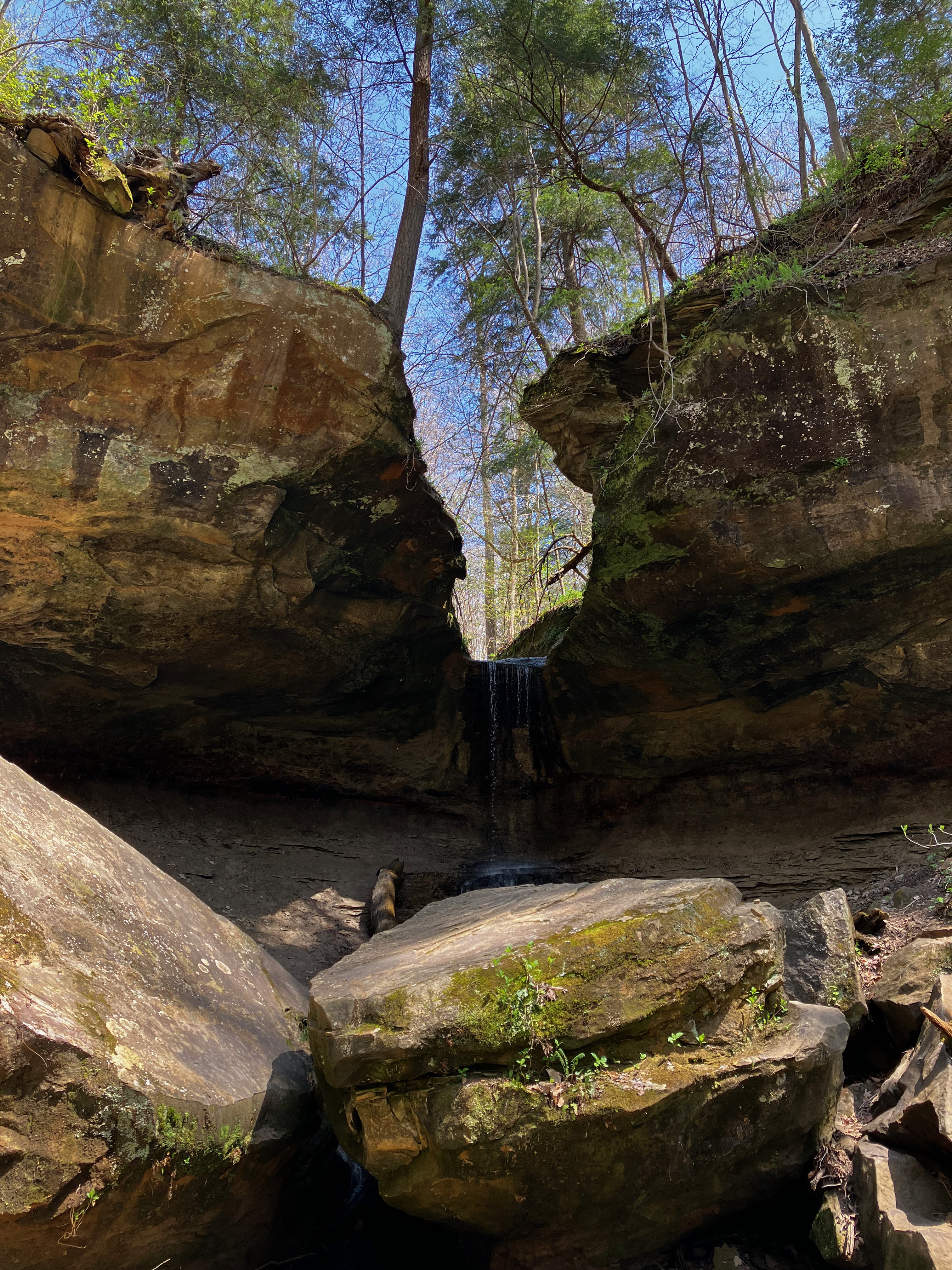
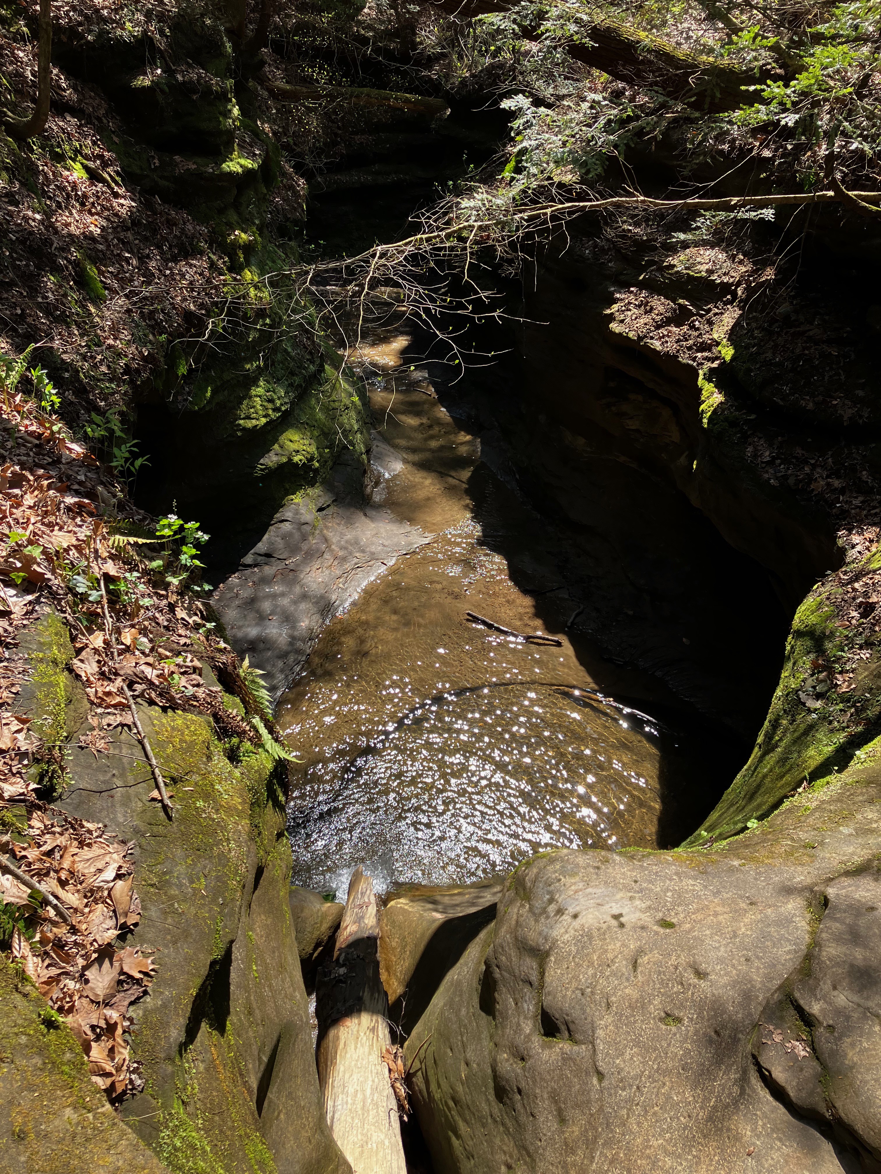
I decided to continue on to trail #9 to go up Falls Canyon and then over to Boulder Canyon.


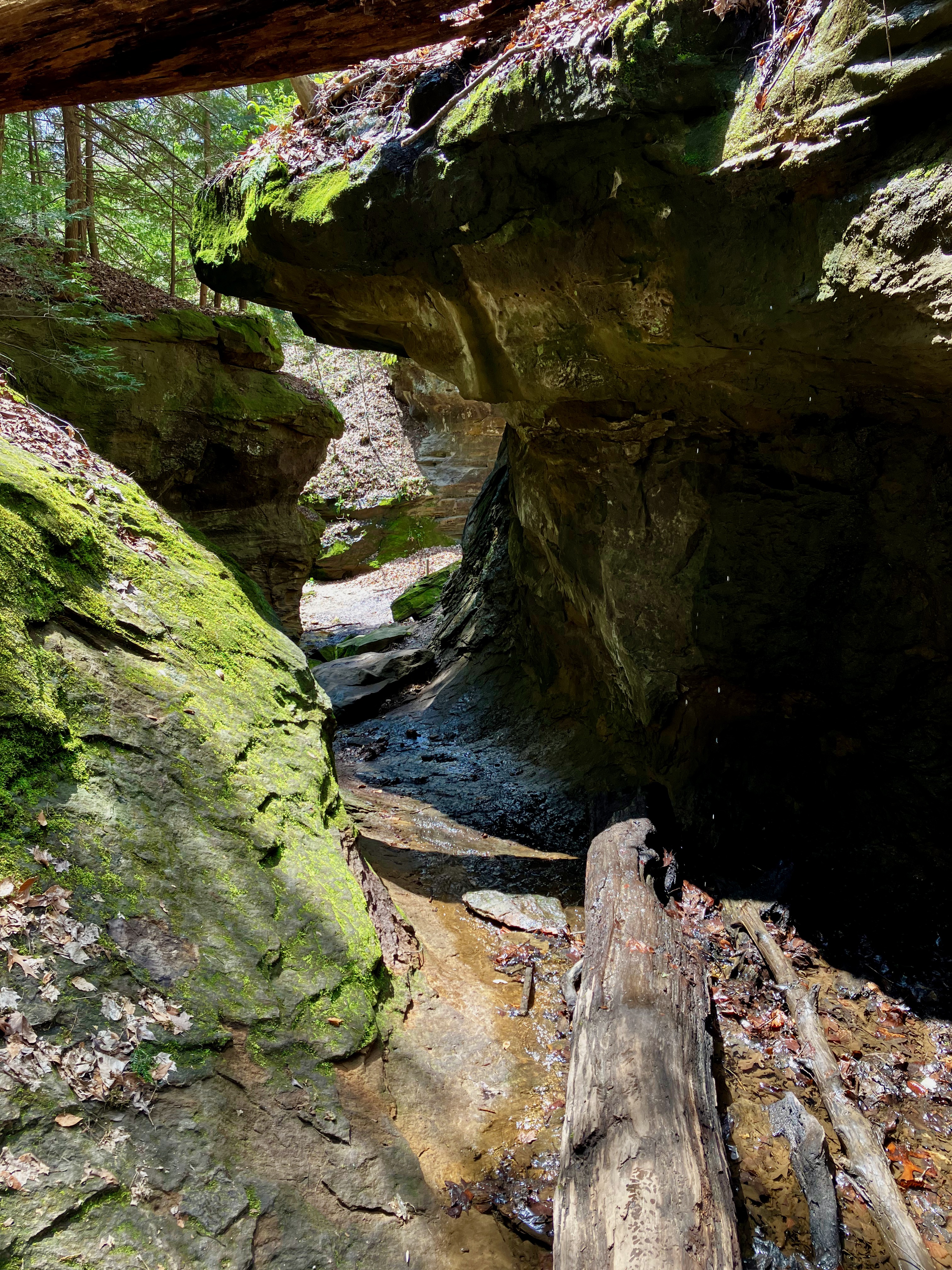
Boulder Canyon reminded me of boulder jumping that you need to do on Pacific coastal hikes.


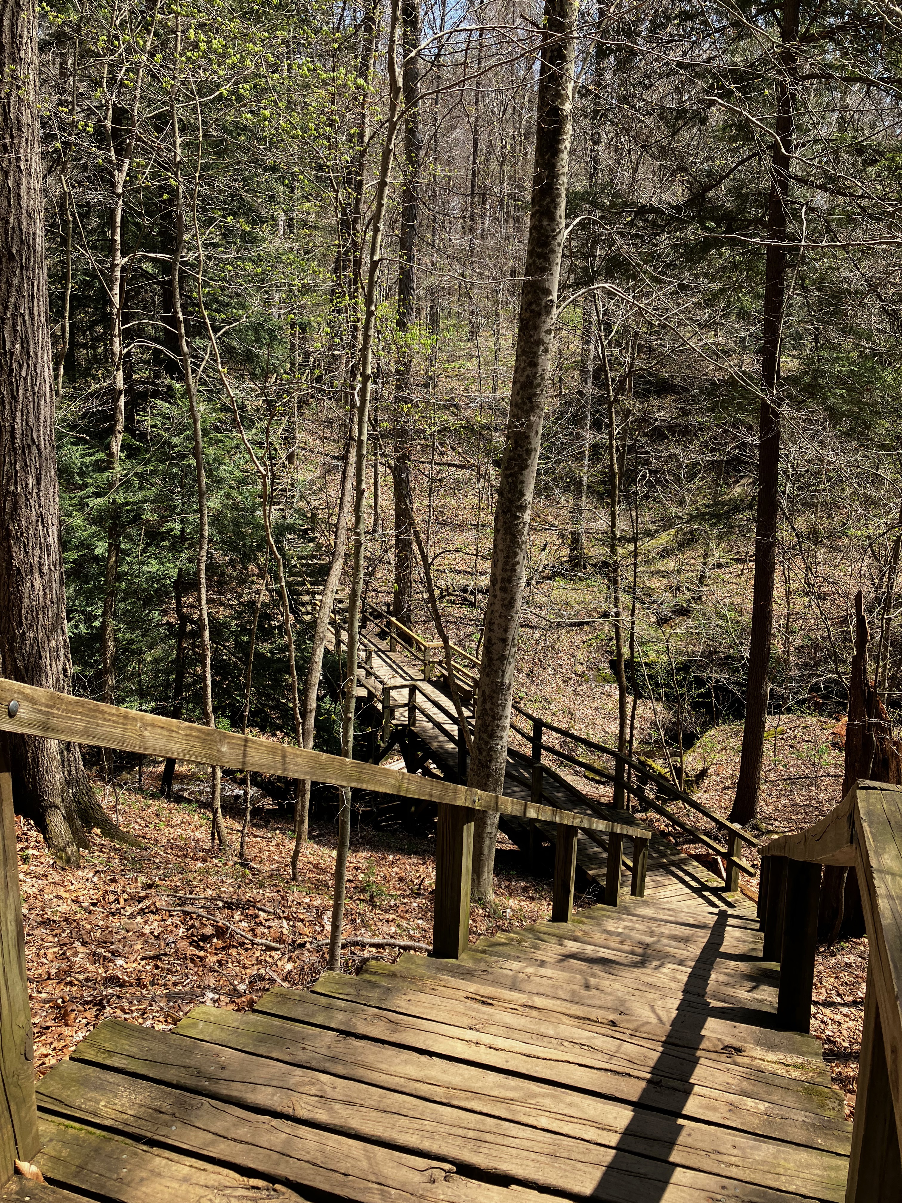
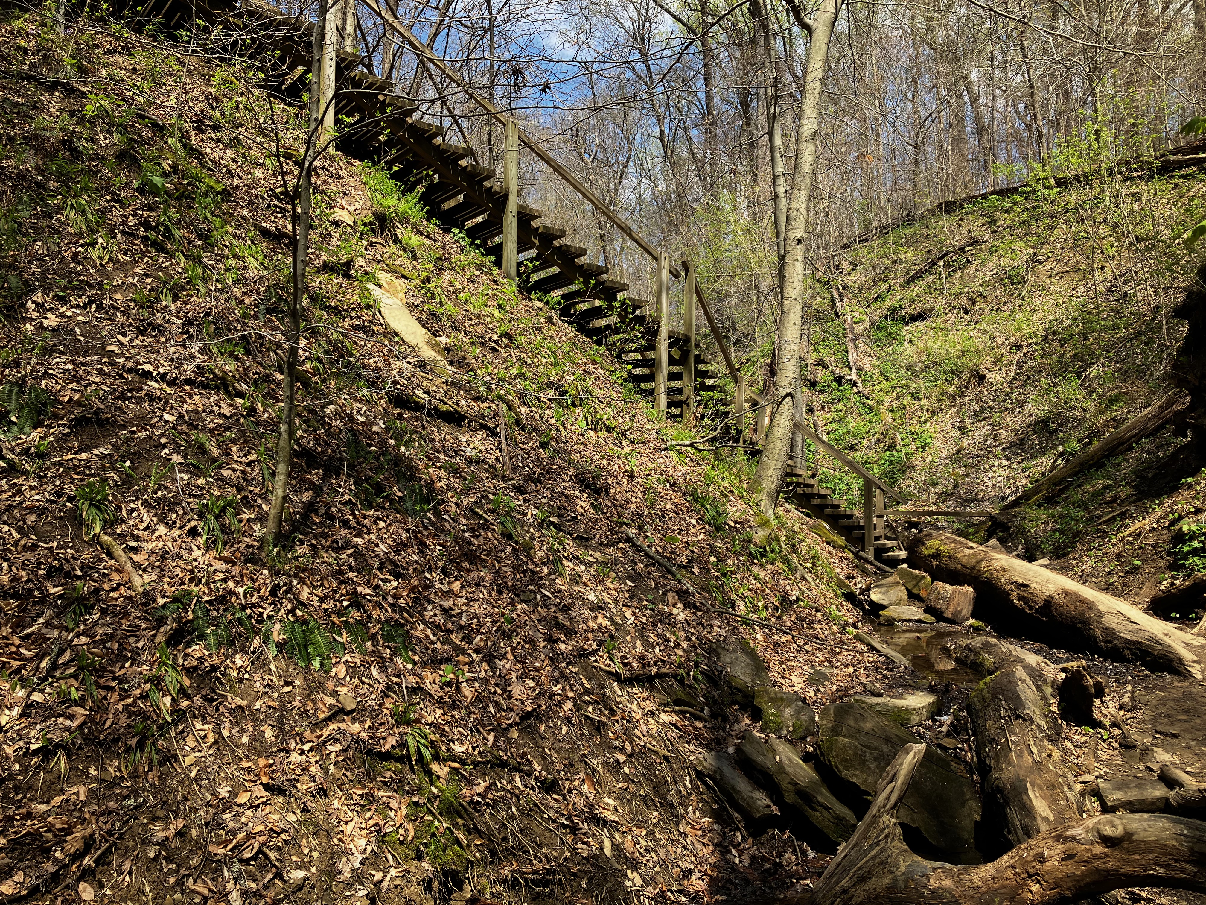
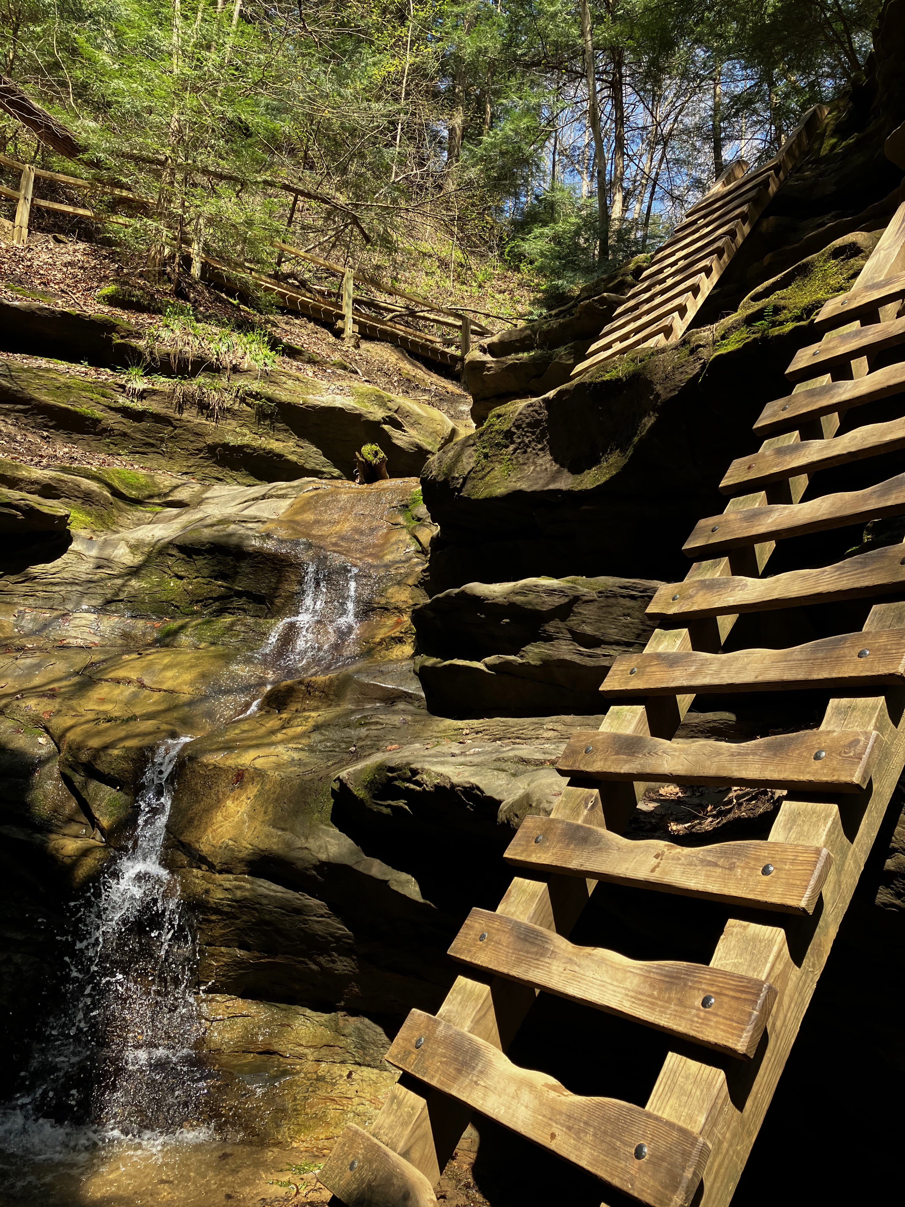
I hiked back down trail #5 to then go up to the Ladders portion of the park.


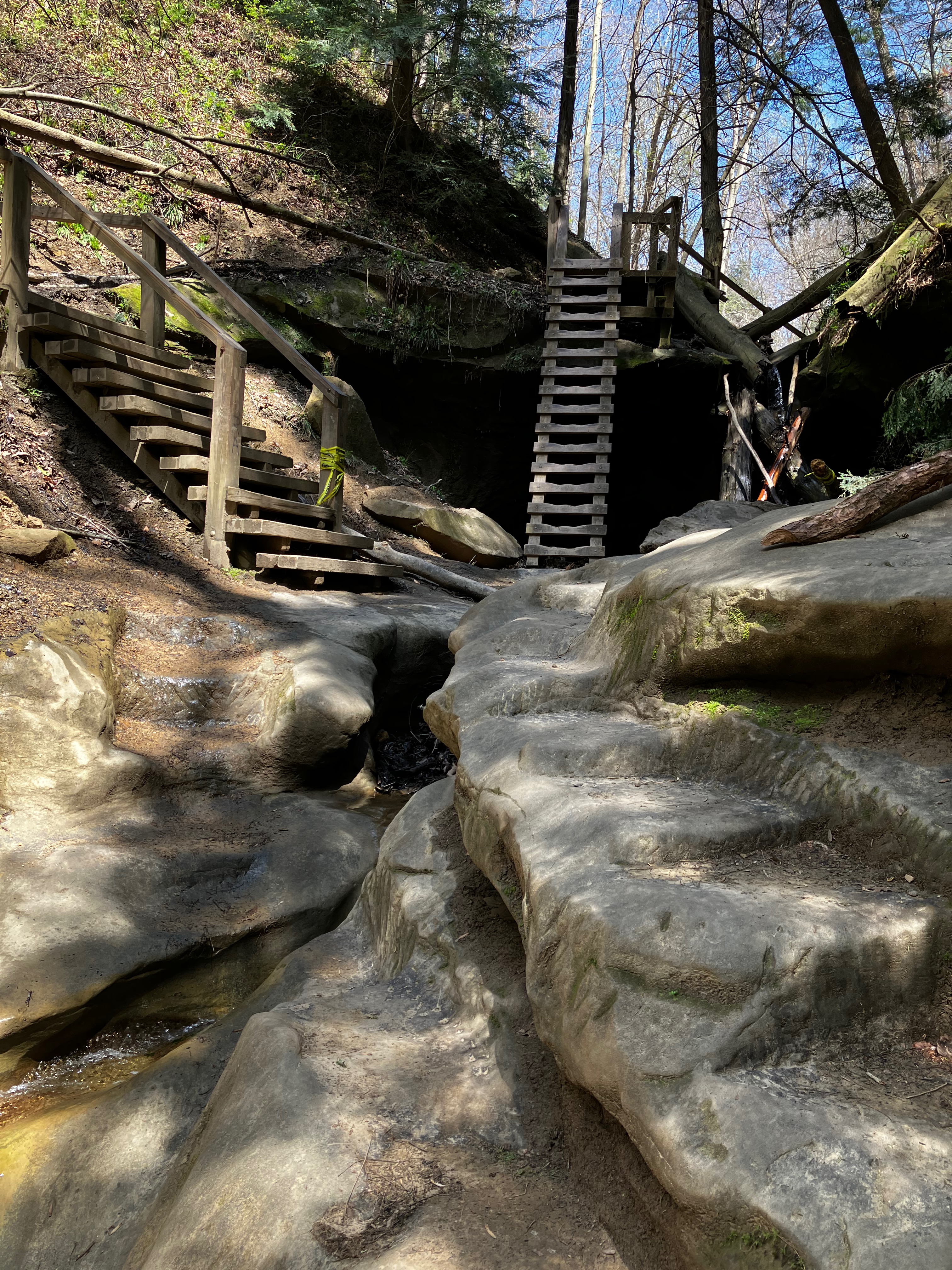
At the top of the ladders I proceeded on trail #3 crossing the upper trail #10 that I backed off from earlier.

At this point in the day I was feeling the miles and the vertical that I had hiked and I was ready to work my way back to the suspension bridge.
It was a great return to Turkey Run, probably the park that first helped me appreciate the wonders of hiking in the wilderness.

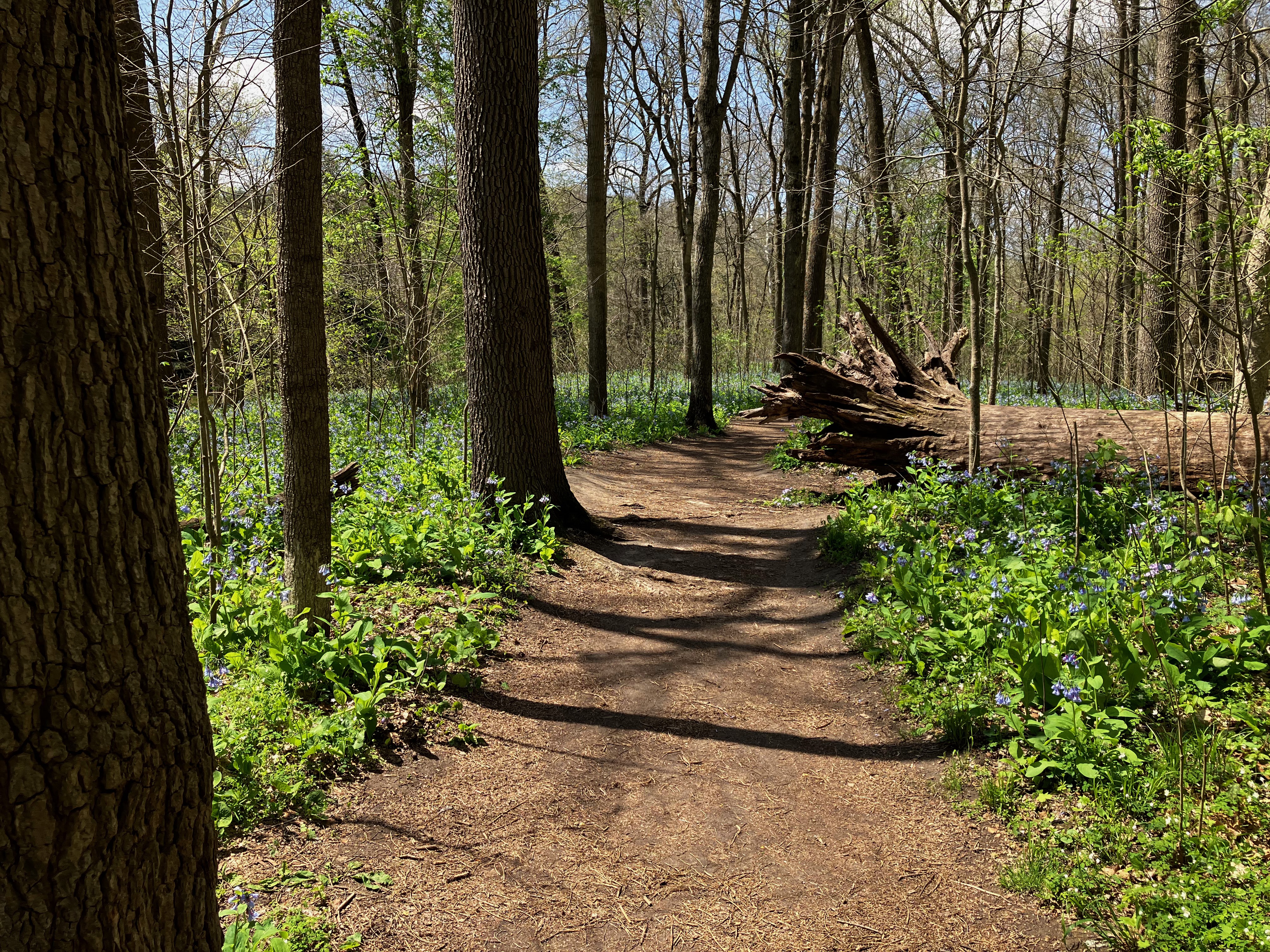
Eagle Creek Park Red Trail
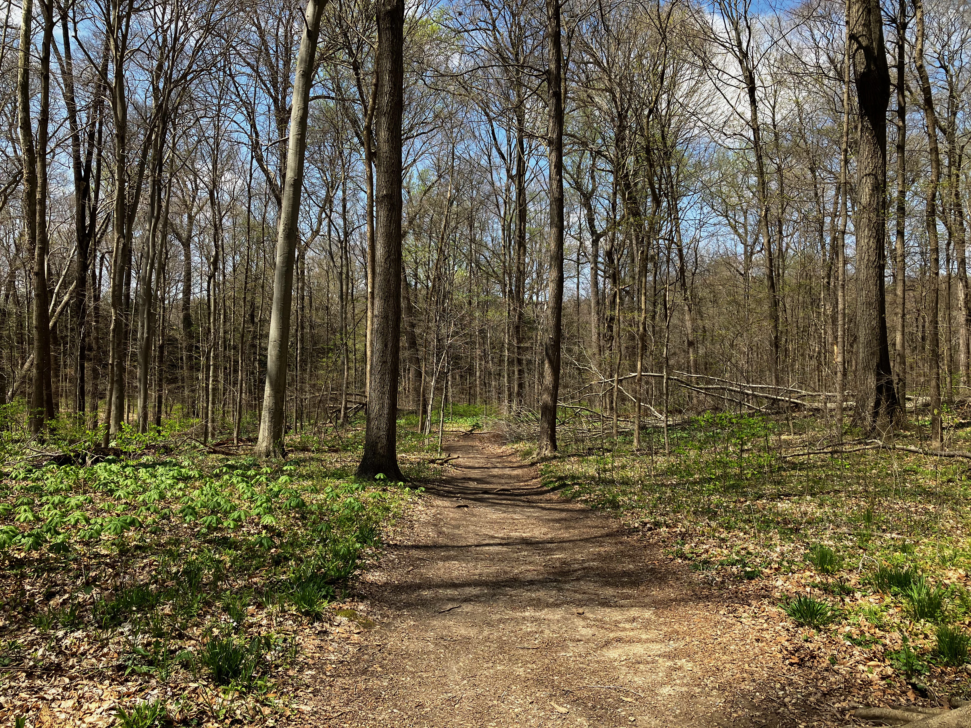
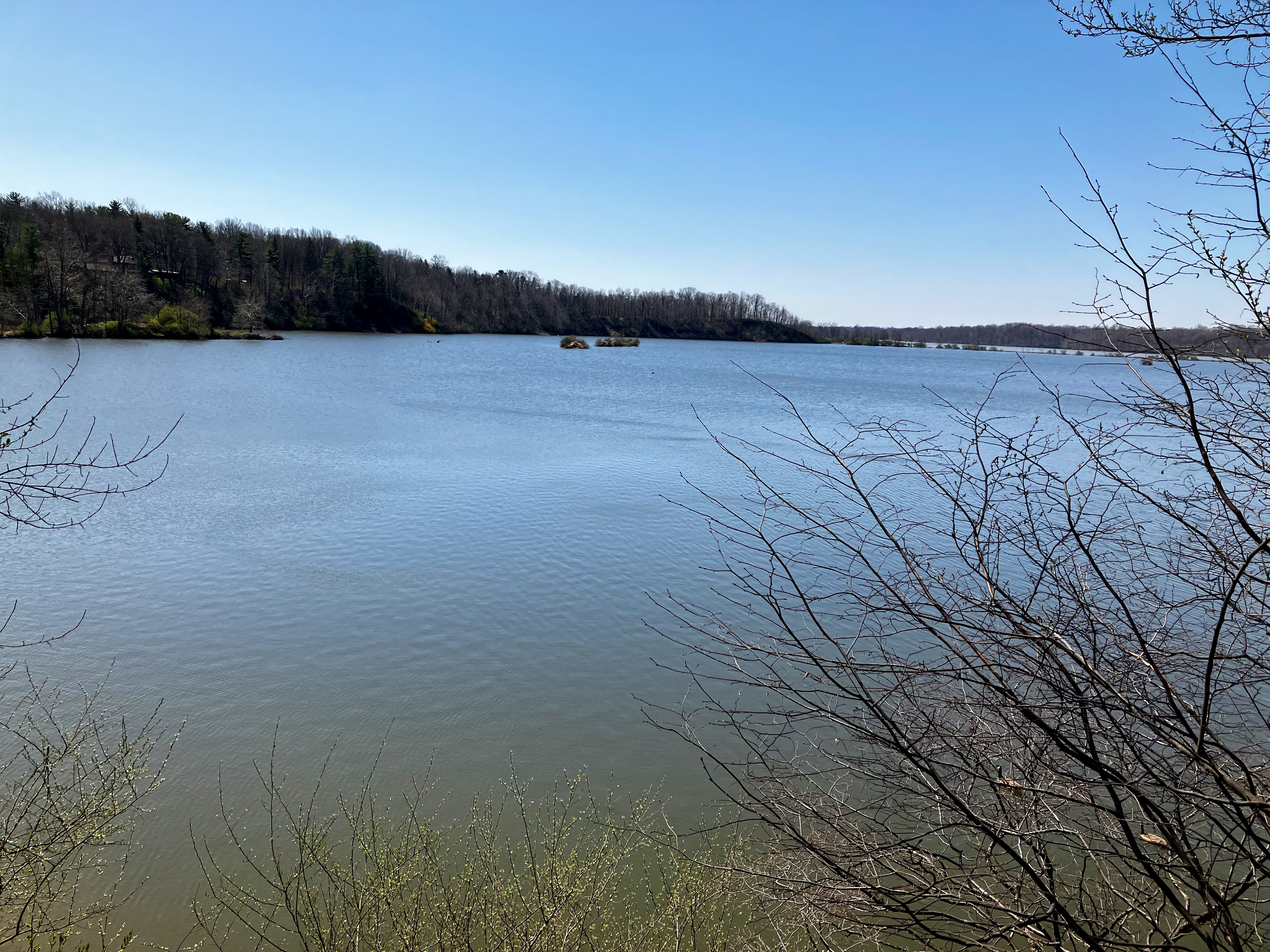
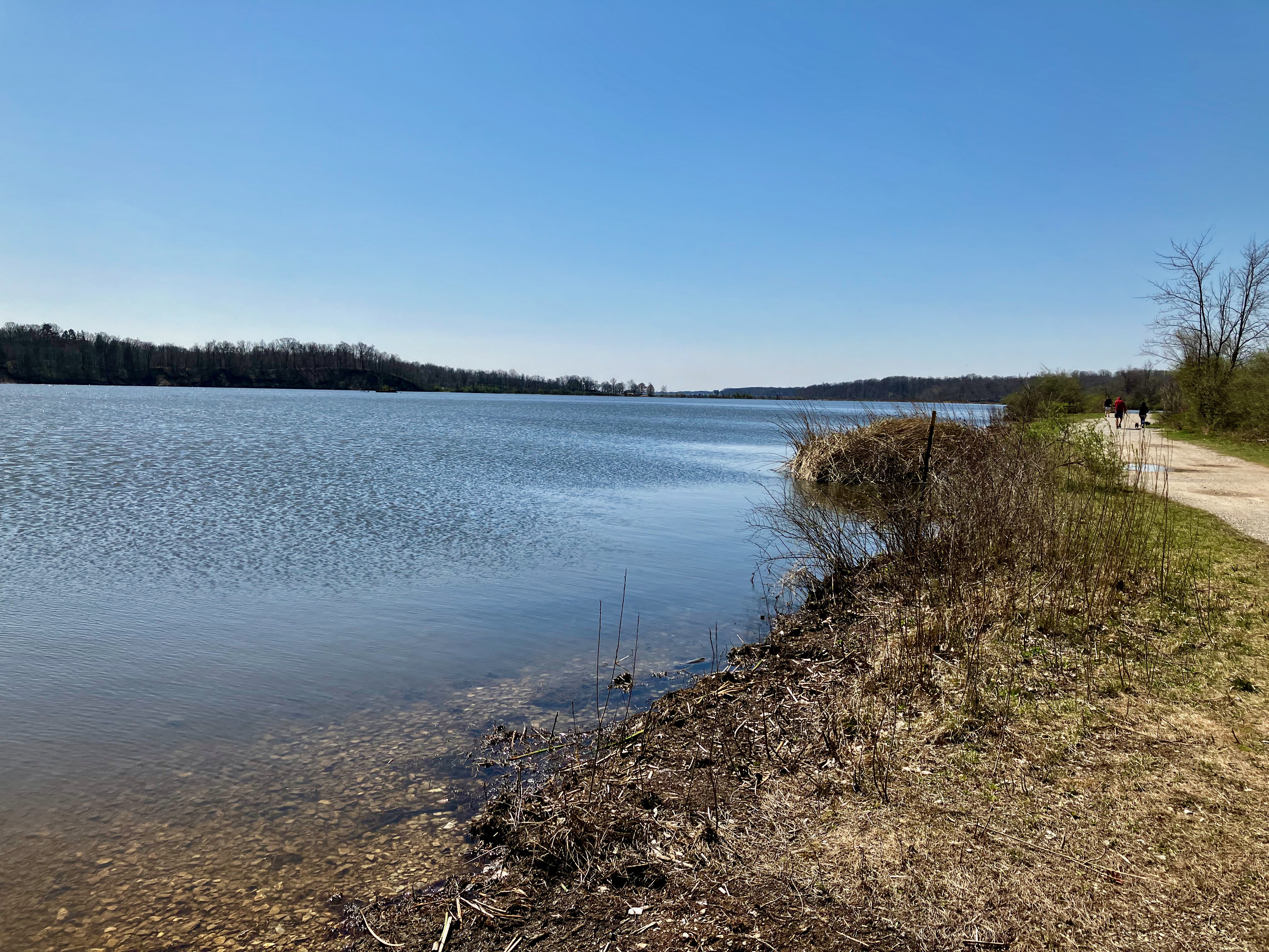
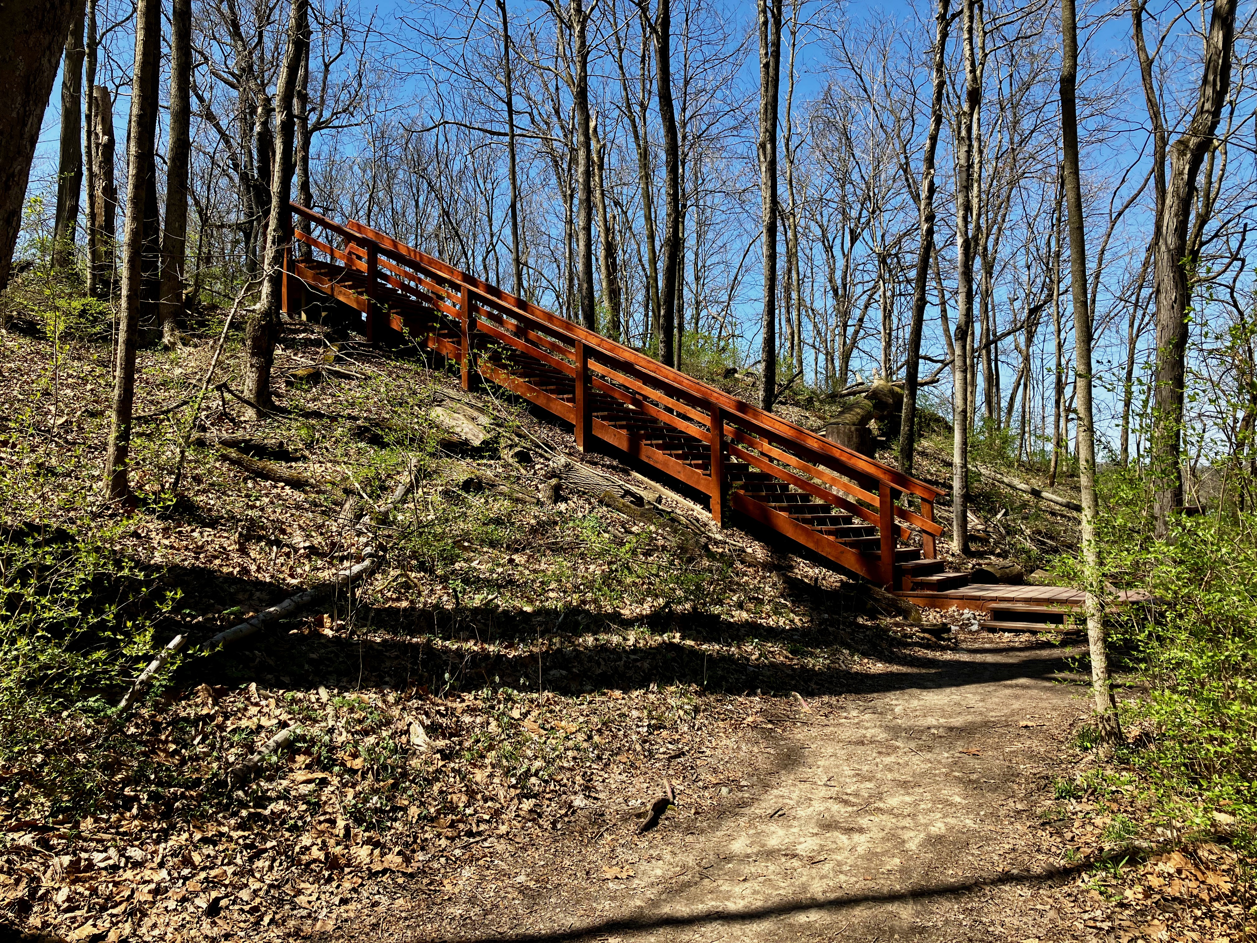
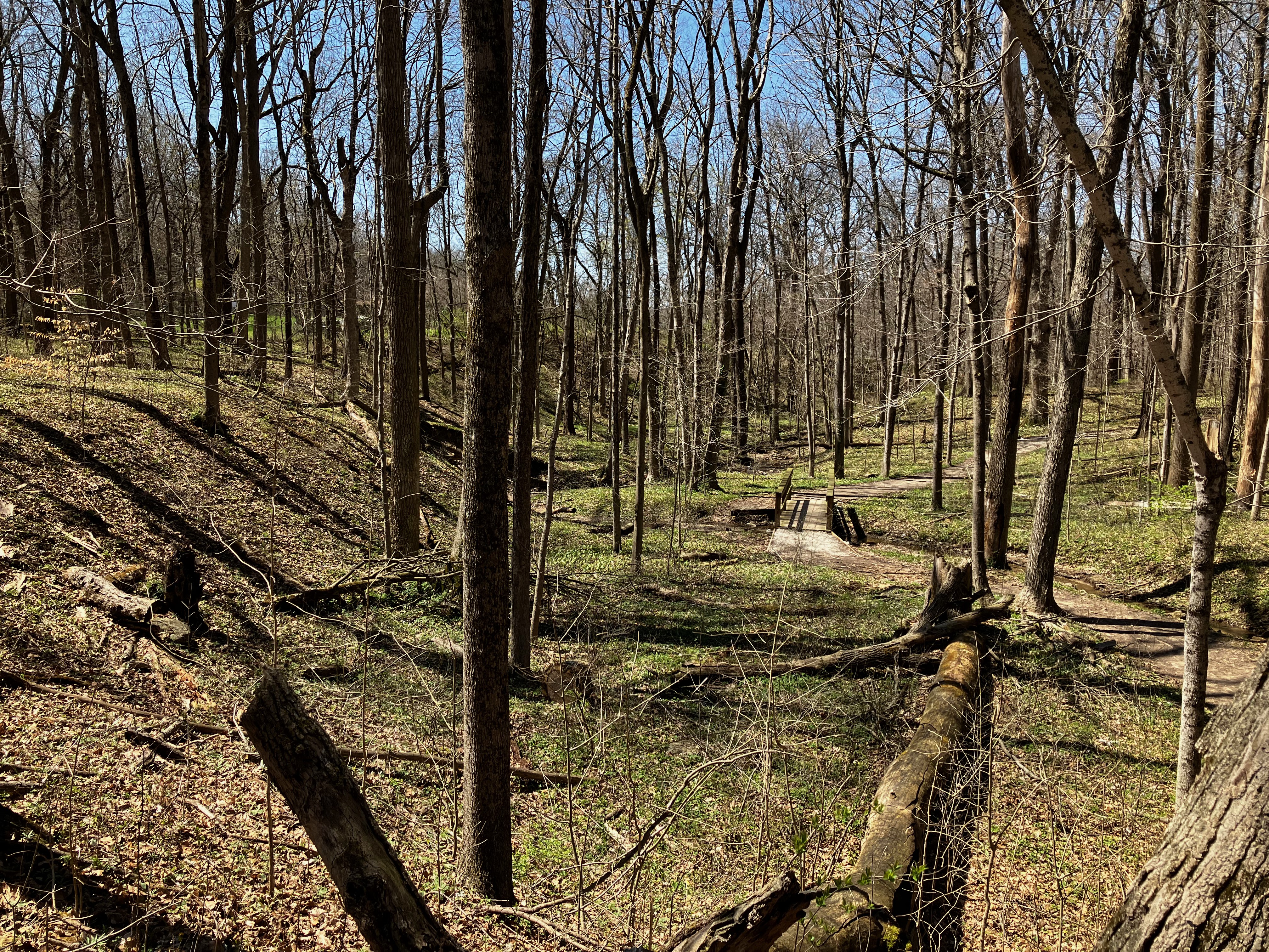
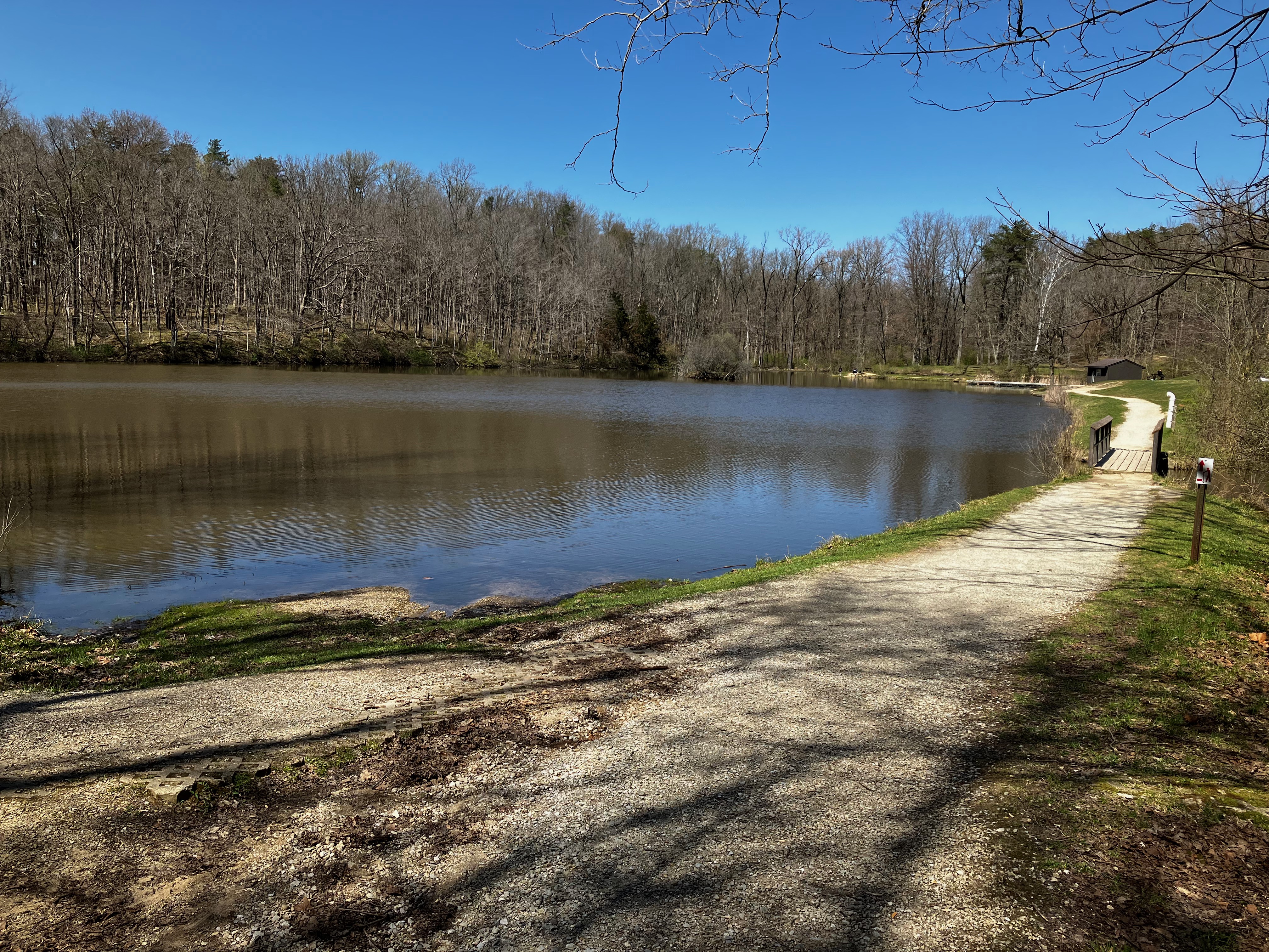
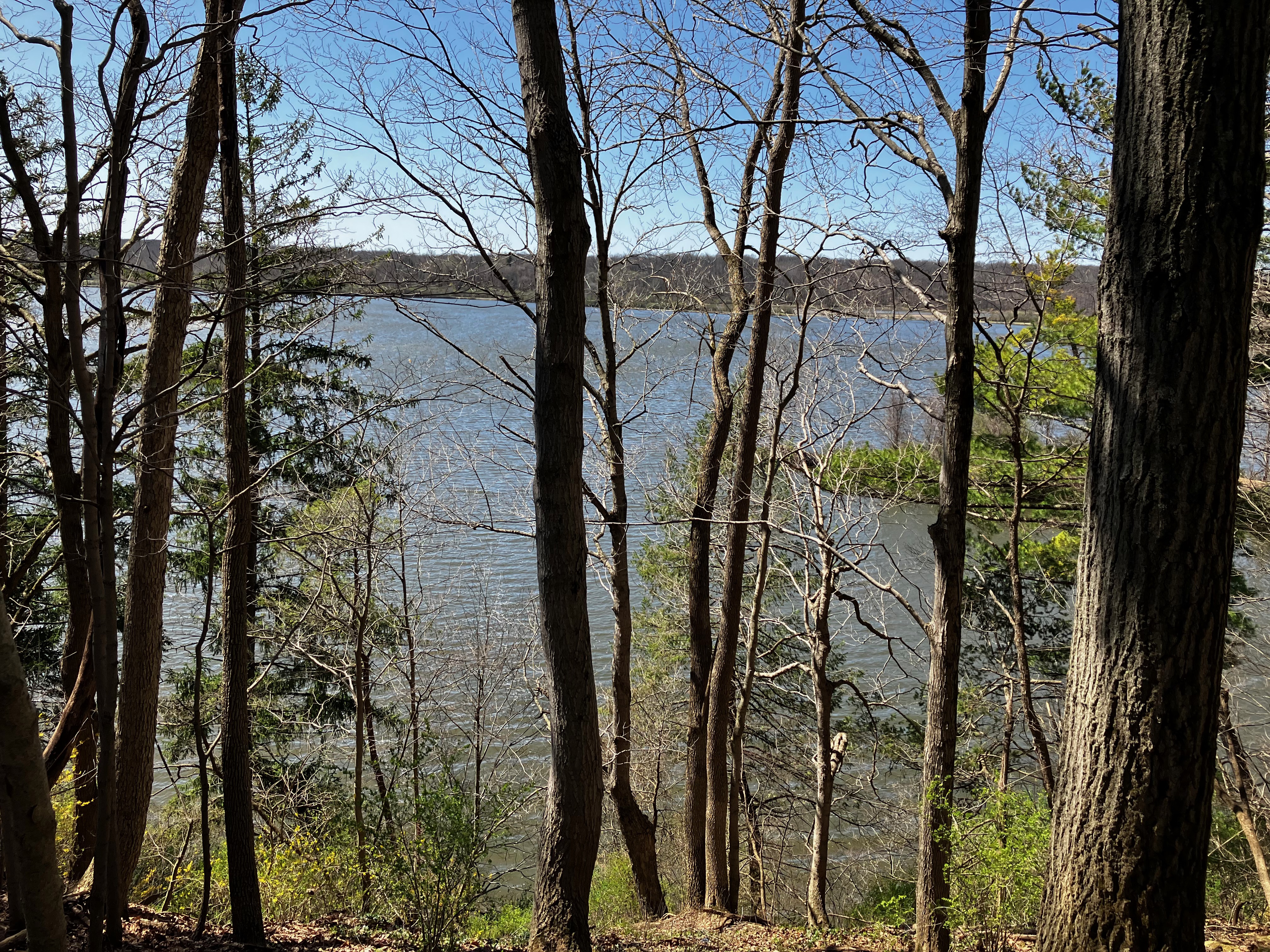
I have relocated to Indianapolis for a while and to satisfy my need for nature and hiking I took on the Red Trail at Eagle Creek Park, one of the largest municipal parks in the United States. This Spring hike showed hints of foliage and flowers as well as some impassable muddy sections. The Red Trail Loop is approximately 7 miles with a 270′ vertical change that takes you around a portion of the lake and past all of the parks amenities. I parked near the 71st entrance and hiked in a counterclockwise direction easily finding the conveniently marked Red Trail Markers. The trail is very well maintained. You quickly get a good view of the lake as you proceed around and across it on a land path bridge. I was also impressed with the conveniently placed benches for rest and observation of the wildlife.

Once across the lake you get a nice winding trail through the trees until you end up at the recreational equipment rental facility which also has a nice little snack concession stand.
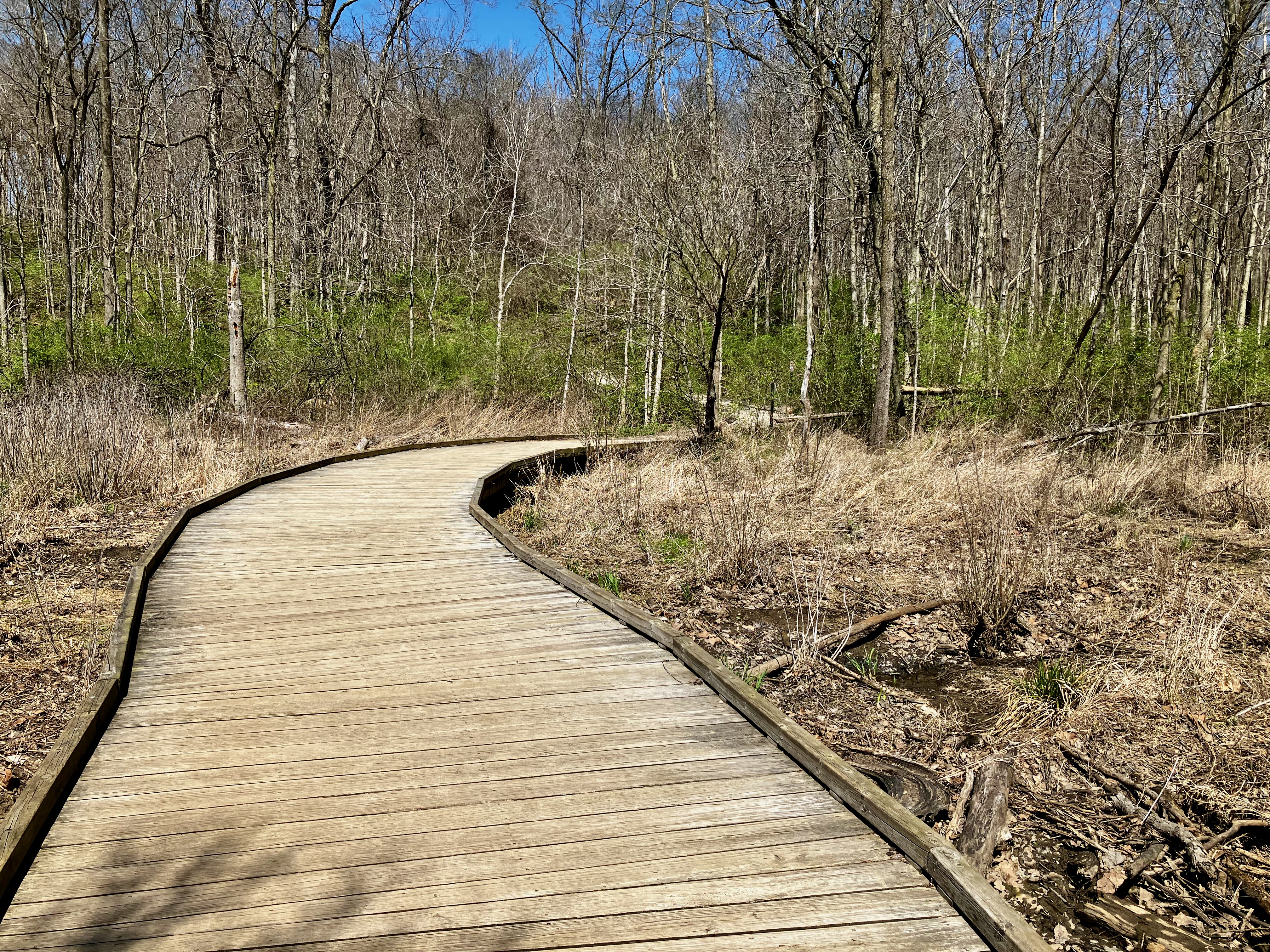

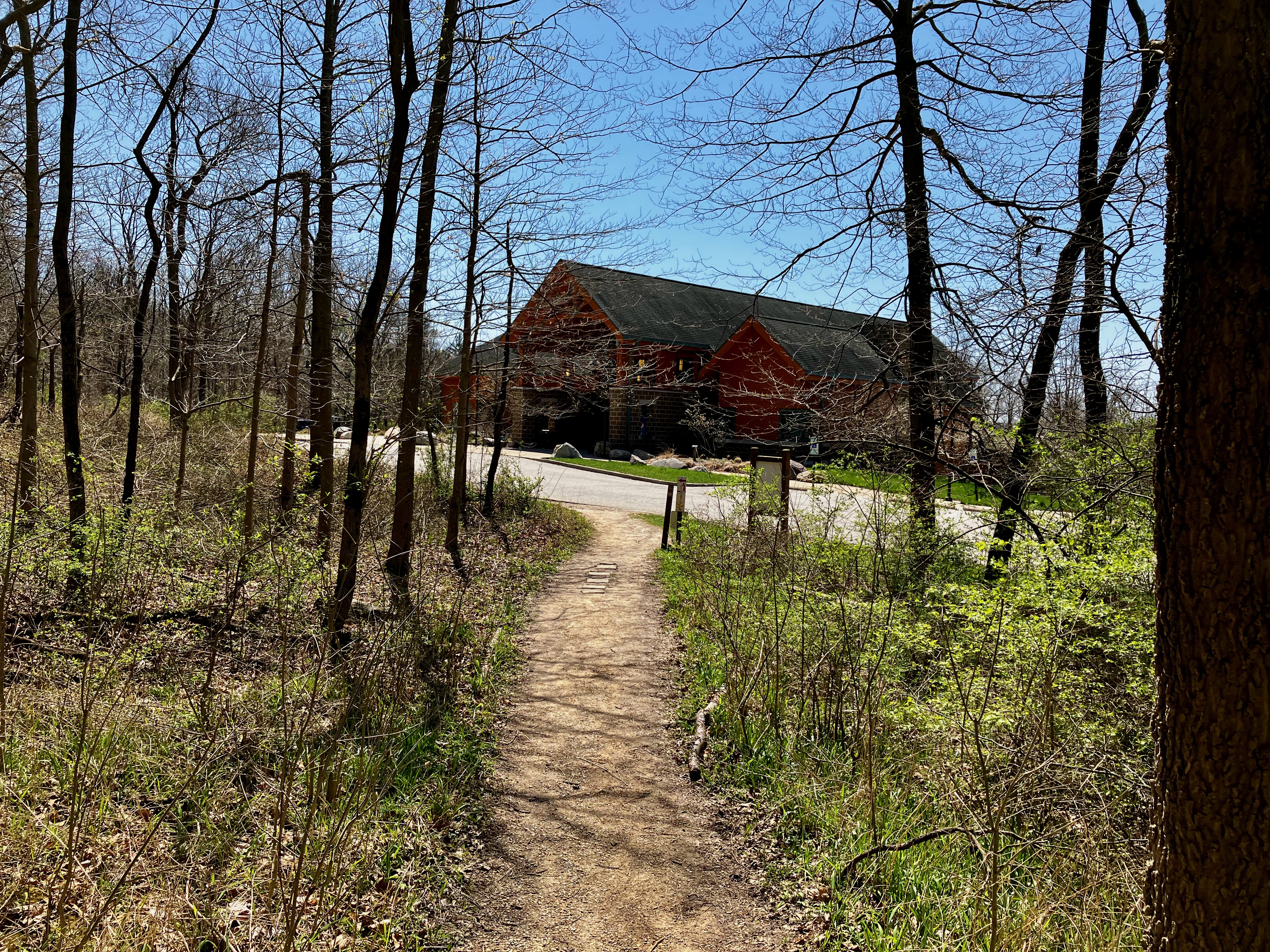
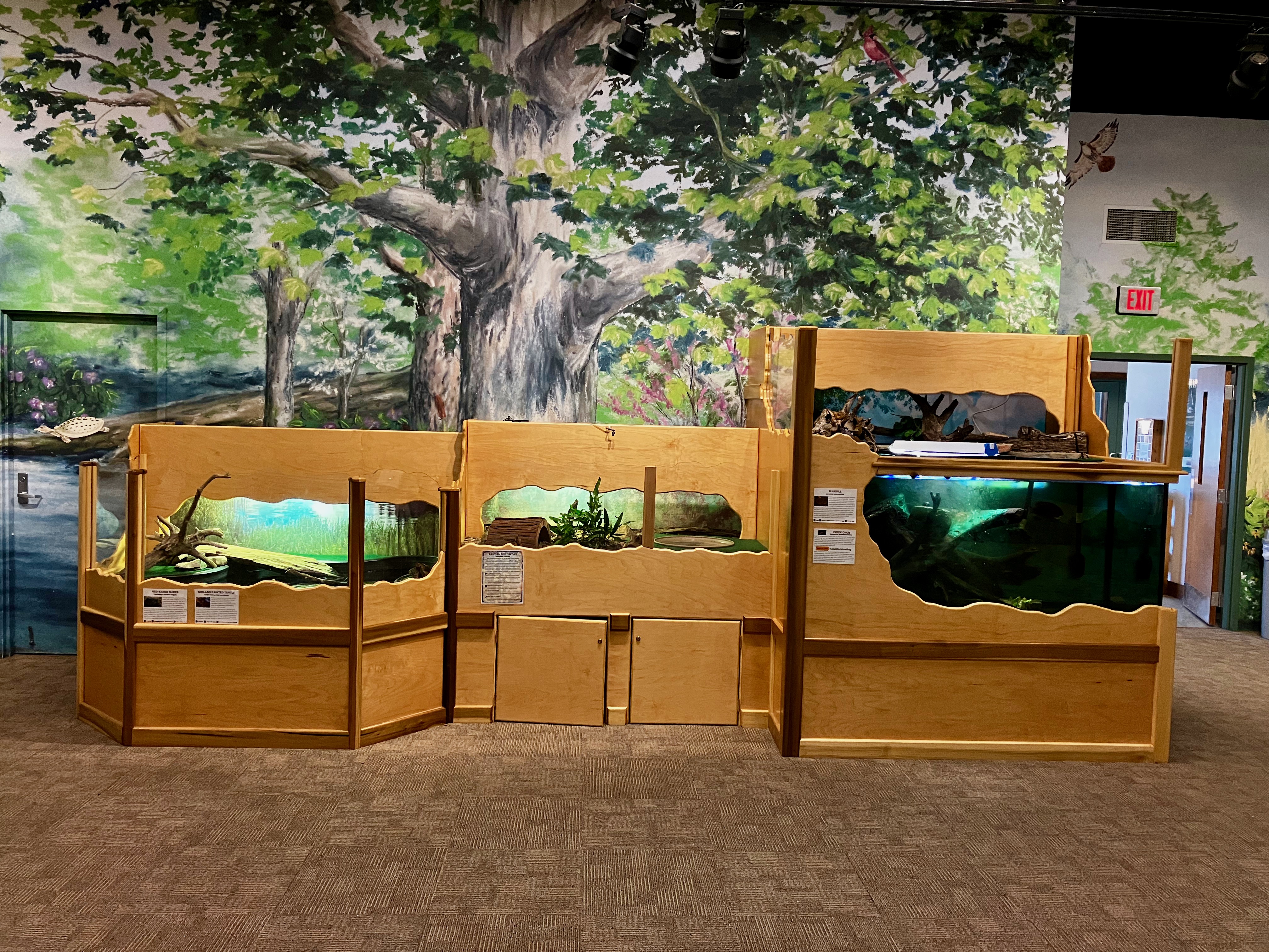
The trail then comes to the Earth Discovery Center. Turtle Turtle
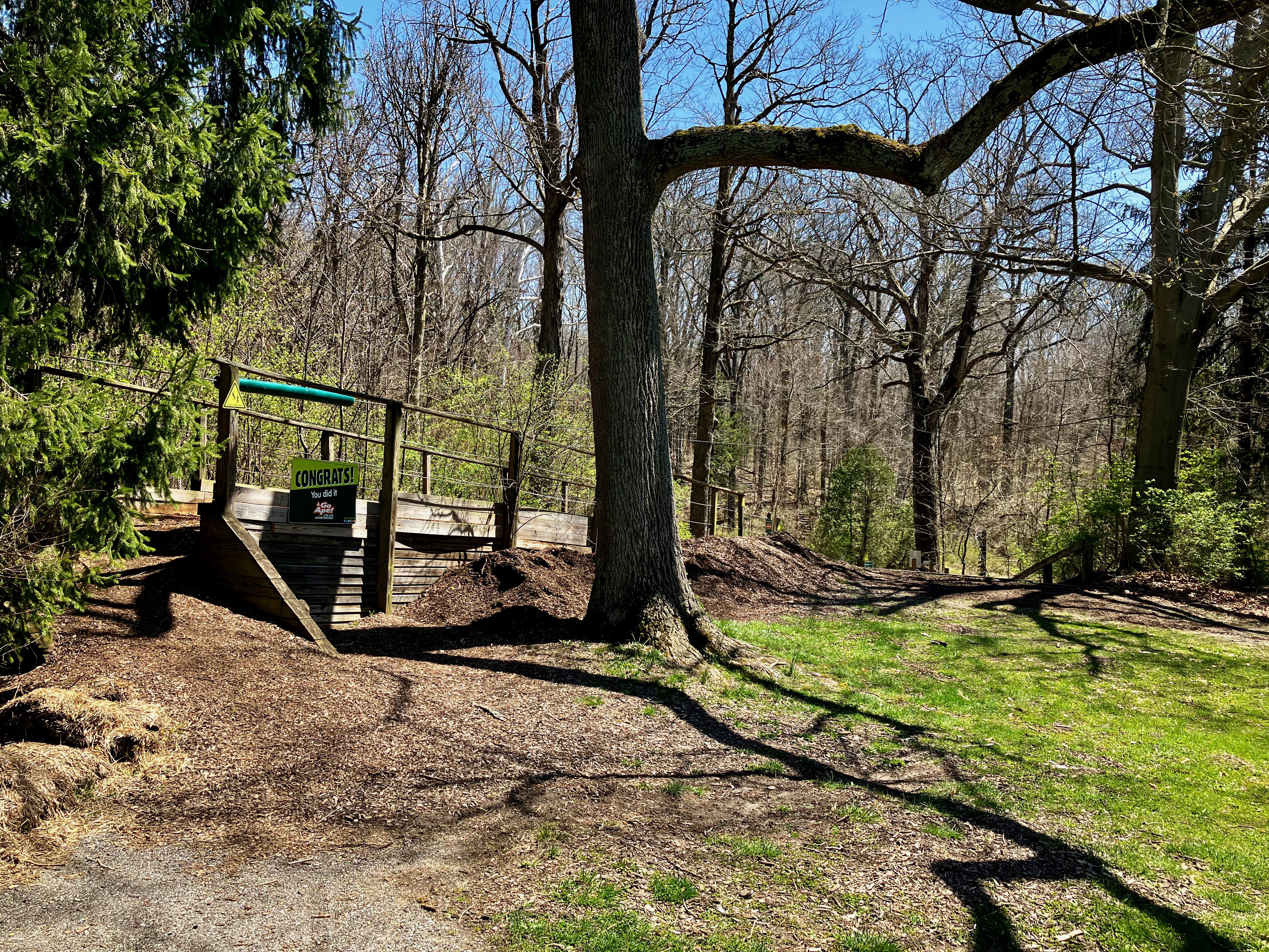
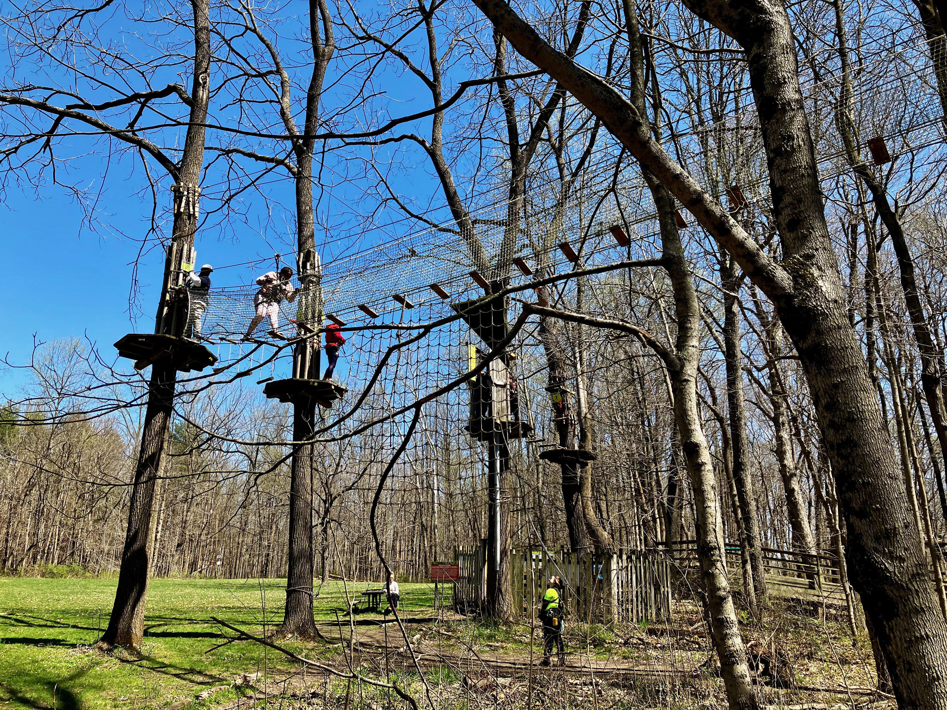
Next you come across the Go Ape Treetop Adventure area. This appeared to be quite popular even on this rather chilly Spring day.
The trail again leads out to a lake view and then you start heading back to the beginning. Lots of nice little Gullies, which I’m sure are very lush later in the summer.

You then approach Lilly Lake but this is also the area near the ice skating pond where the trail gets really muddy.

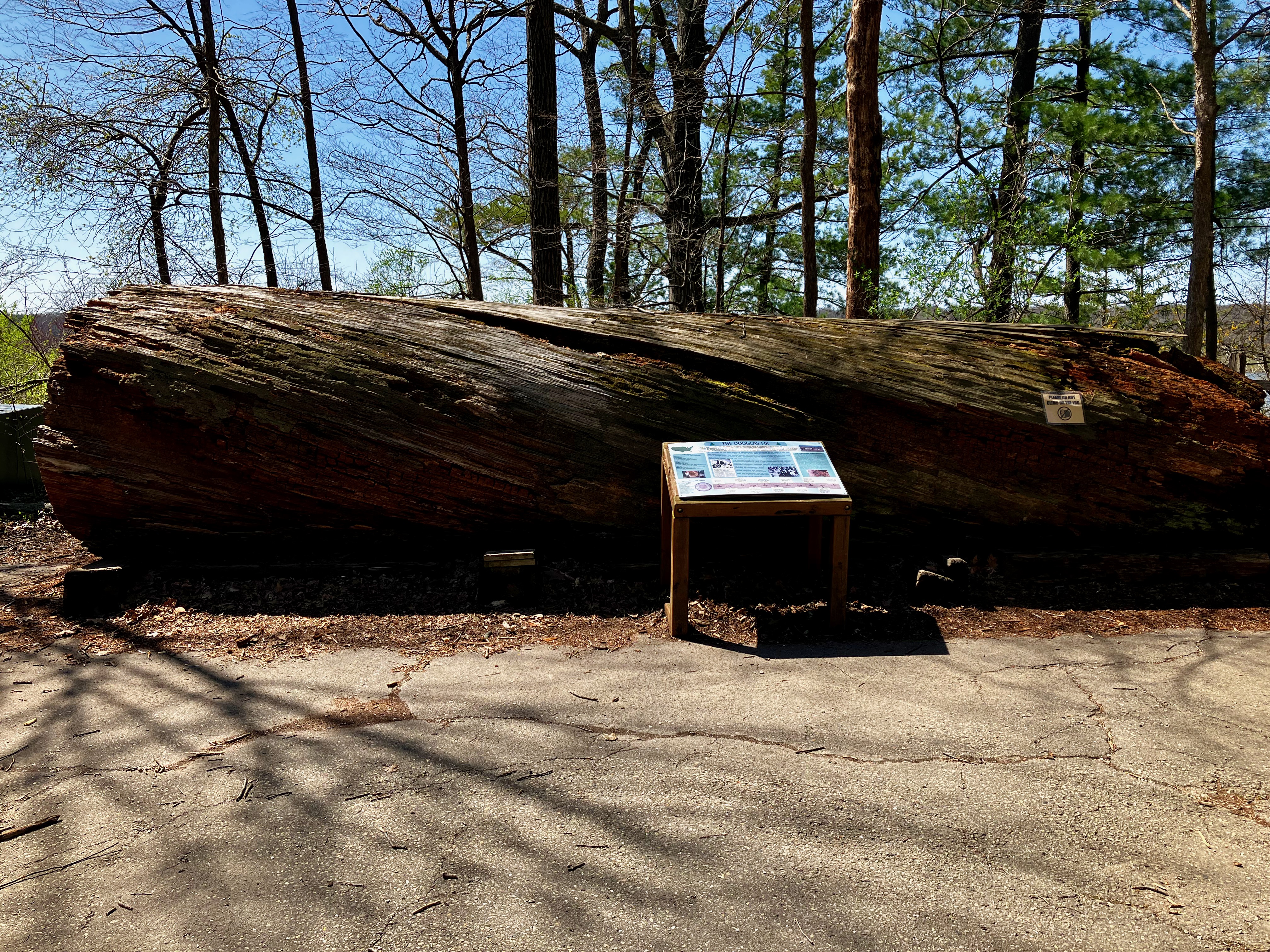
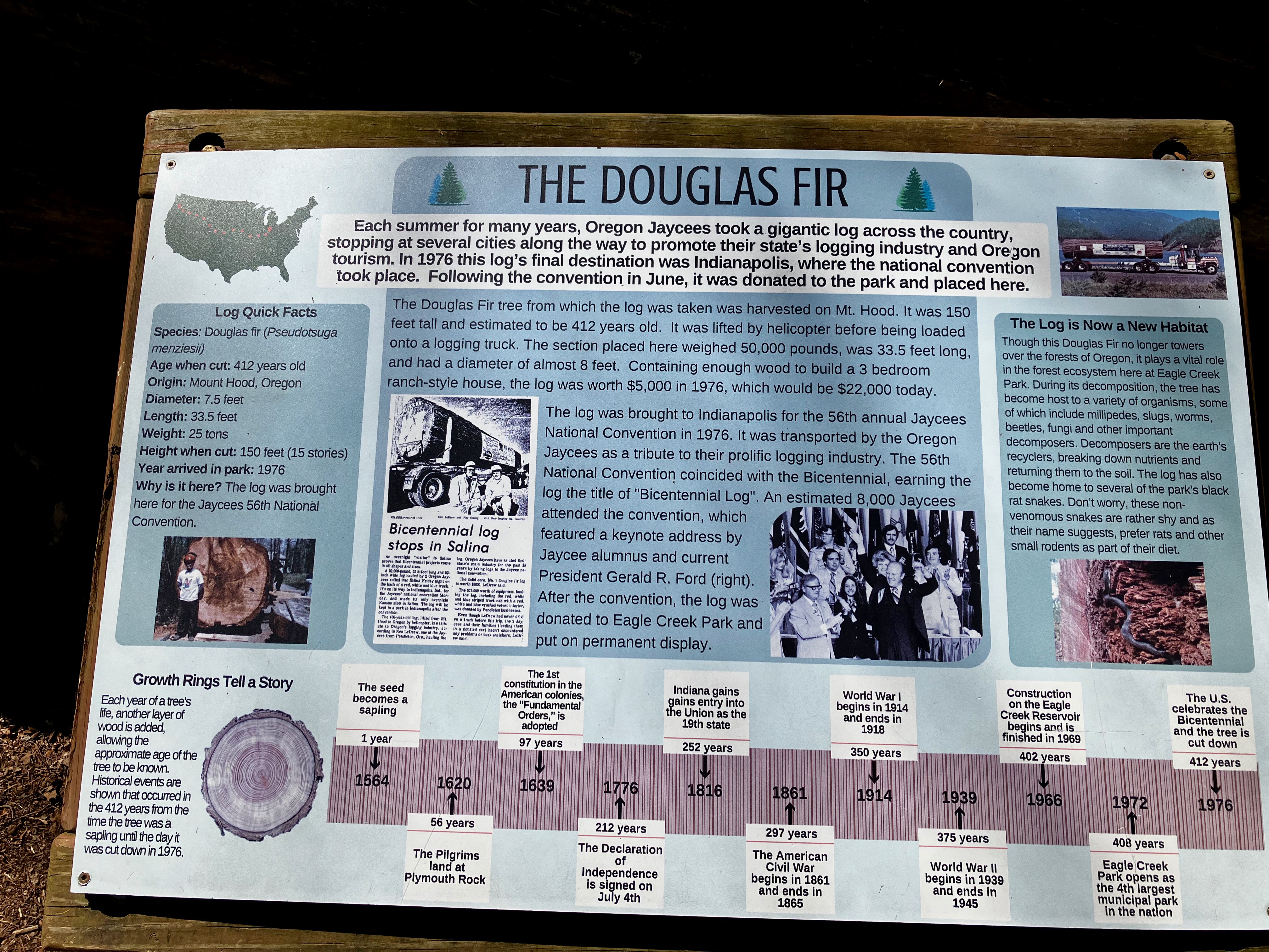
I then came across something familiar but foreign to Indiana. From a distance I see this huge tree trunk that I knew could not be from here. And low and behold it was a Douglas Fir Tree Trunk from Oregon.
I end the loop with more views of the lake.
I will be living right next to Eagle Creek Park for a while. I have a feeling it will offer the trail exercise that I will need. The Adventure Continues

Trappist Abbey
I have been hiking the Trappist Abbey Trails for many years and again this week it is providing the necessary vertical workouts I need to get ready for my annual trek around Mt Hood.
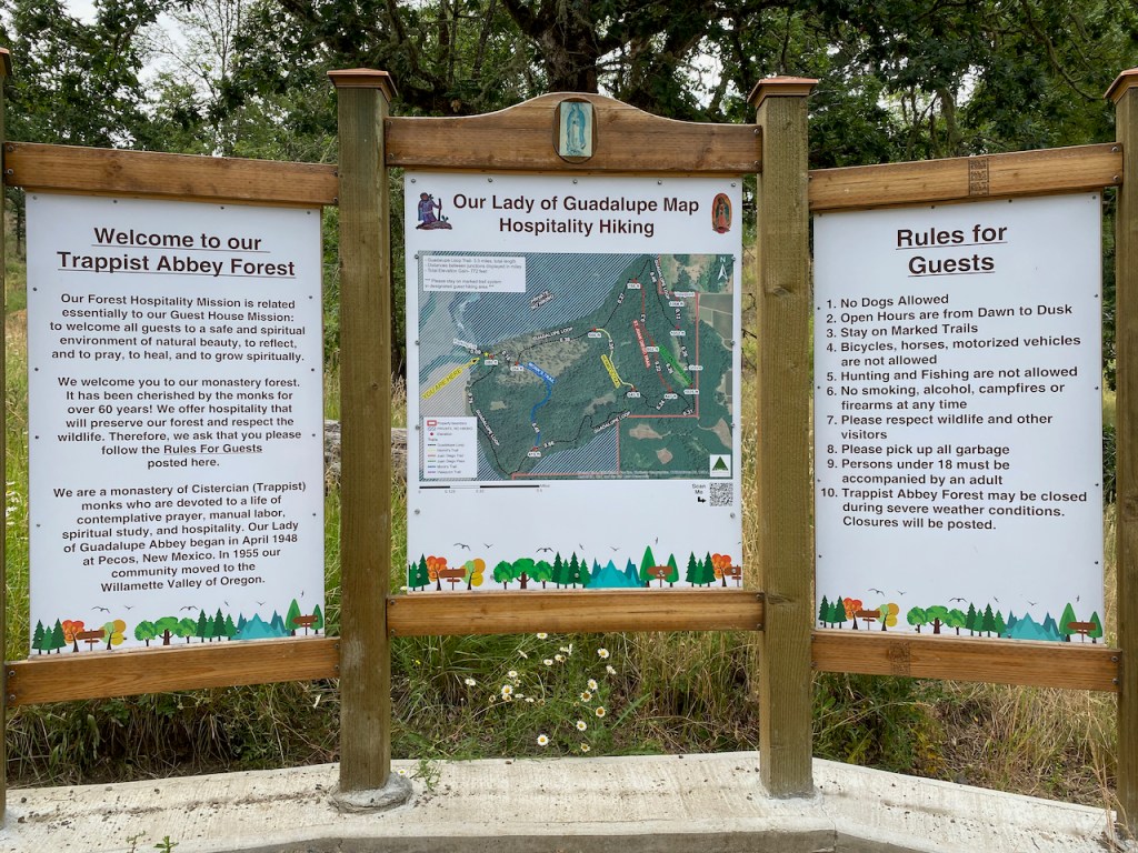
The Abbey is about a 10 minute drive from home and it offers 900′ vertical over its various trails. The new sign (left) provides a much needed map with all of the Abbey rules. There were times when you could get lost on the property since trails were poorly maintained or marked. However, in the last year they have greatly improved the trails and signage. And this used to be my go to hike with Brook, but “No Dogs Allowed” now. Eliminating dogs is OK since the more prevalent use of vineyard cannons to keep the birds away also caused great anxiety for Brook. Now the focus is primarily for the exercise, but this is beautiful country that does refresh your soul.
Brook did love to hike Trappist Abbey in her youth.
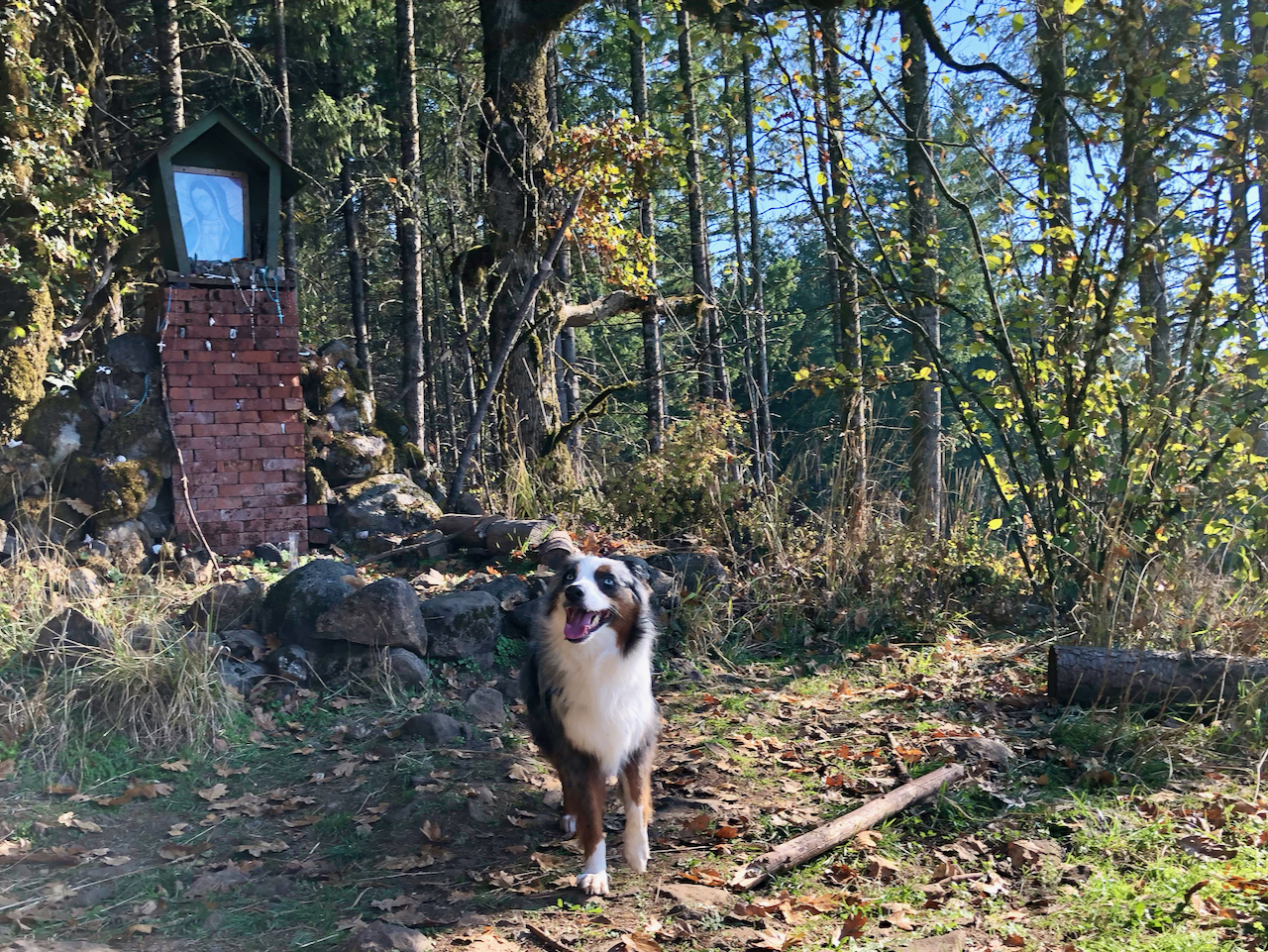
At the Shrine 
Brook with Friend Phoenix 
Viewe from Shrine 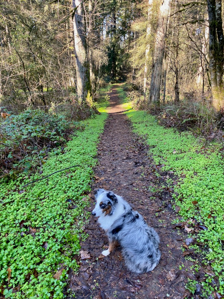
Beautiful Trails
Overall the changes implemented by the Abbey for trail management appears to be working. Plenty of hikers are enjoying the seclusion that for many years was only enjoyed by their monks. The main trail takes you up to the top of the ridge where you have a side trail over to a view of Mt Hood on a clear day. On the way up you have three offshoot trails that shorten the overall trek and let you manage how much vertical you want.

Plenty of deer 
Love the Trees 
Very lush vegetation 
And PNW Ferns
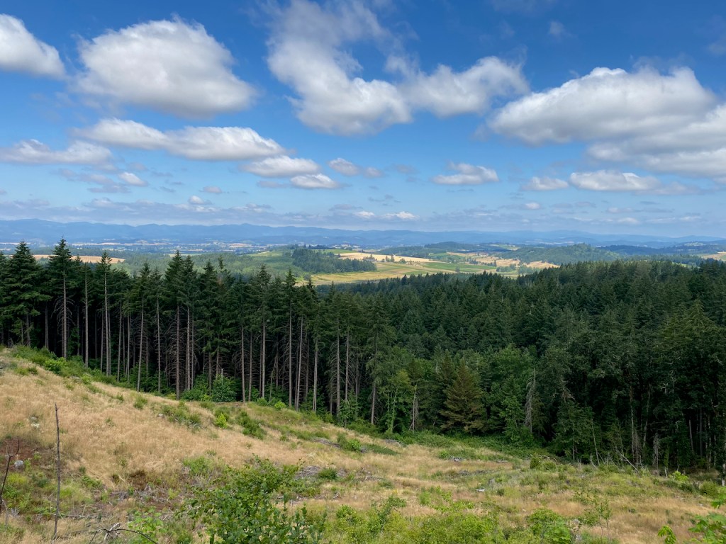
There are a number of great views of the valley along the trails.
Half Way Up or Down 
View at the lowest Point on the Trail
The Abbey provides nice parking at the trailhead which skirts their facilities. Not uncommon to have wildlife greet you at your car.

I hope you enjoyed this short post. I have been meaning to write about the Trappist Abbey Trails for many years. Our Lady of Guadalupe Trappist Abbey is a Trappist monastery located in Yamhill County, Oregon in the United States, north of Lafayette and about 30 miles southwest of Portland.

Strawberry Mountain Wilderness
 Starting June 22, Bryce and I spent 5 days backpacking in the Strawberry Mountain Wilderness. It was one of those perfect weeks for weather, crowds, bugs, but a bit early for flowers. The Strawberry Mountain Wilderness is an island in the high plains of Eastern Oregon surrounding Strawberry Mountain which climbs to over 9000 feet.
  We accessed the wilderness via Prairie City with great meals in and out at 1188 in John Day. From the Strawberry Lake Campground we planned on spending the first night at Strawberry Lake which is only 1.2 mile in. If this area was anywhere but in the middle of nowhere it would be overwhelmed by hikers and campers. But it is 3.5 hours from Bend or Boise and 6 hours from Portland. The lake itself is pristine and there is fairly good fishing.
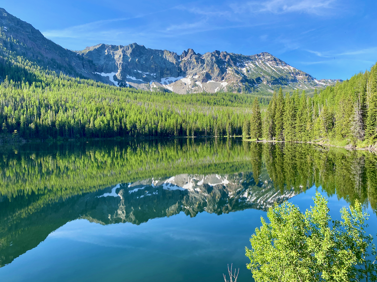
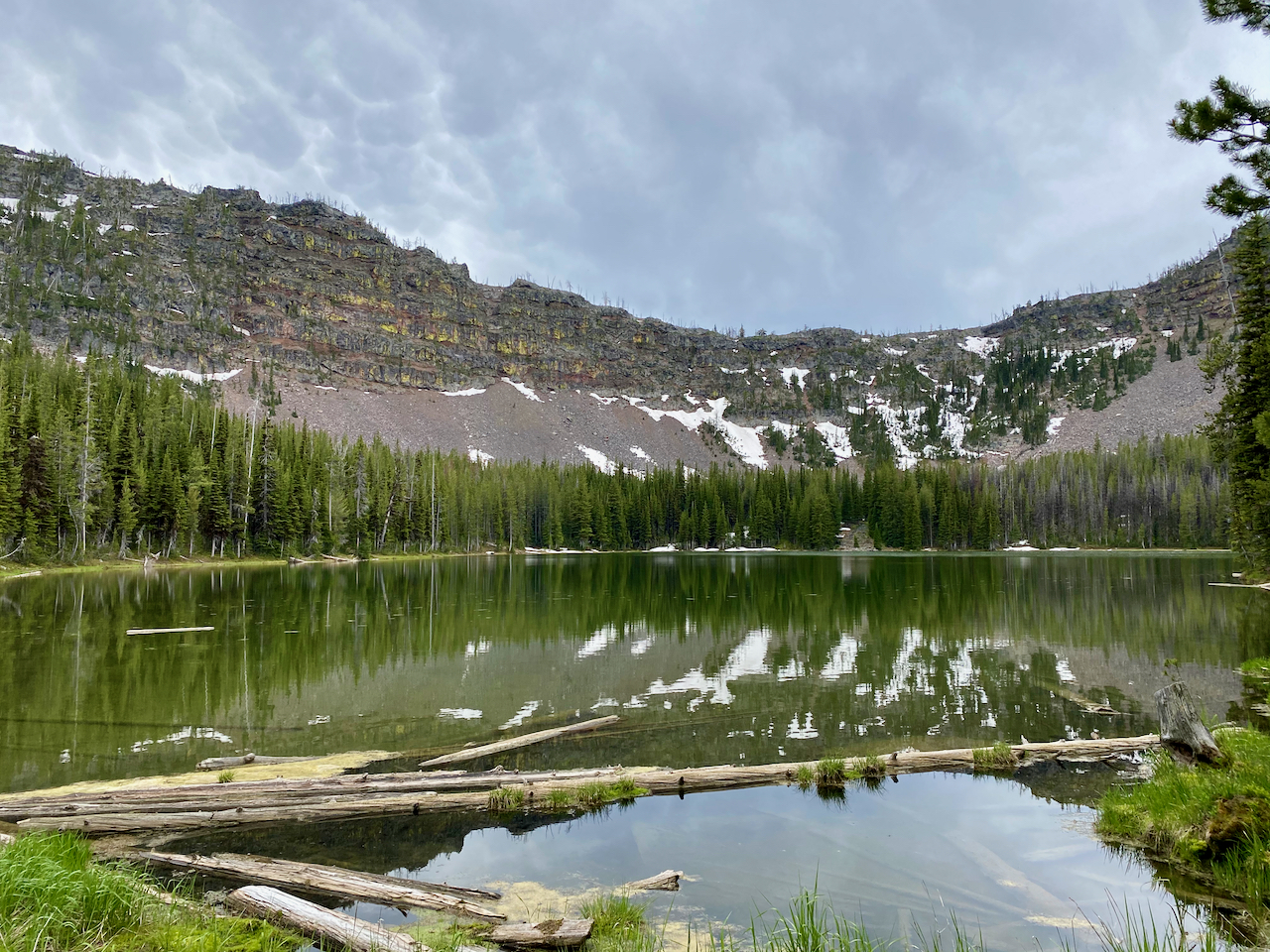
Strawberry Lake
We got to the lake in late afternoon and just missed getting the primo campsite on a grassy beach next to an inlet stream. 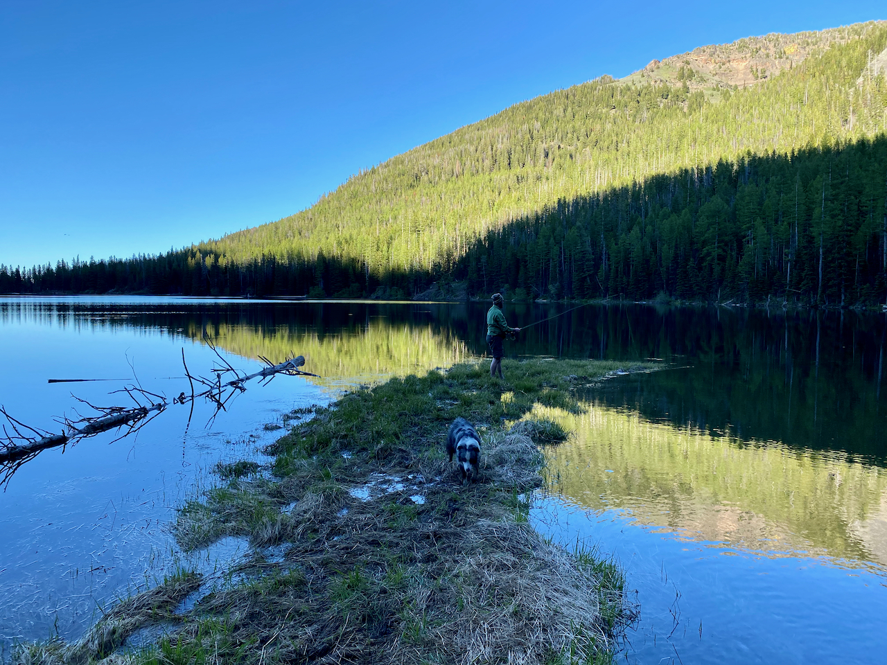 However, we took the campsite at the south end of the lake and immediately caught our Brook Trout dinner.
 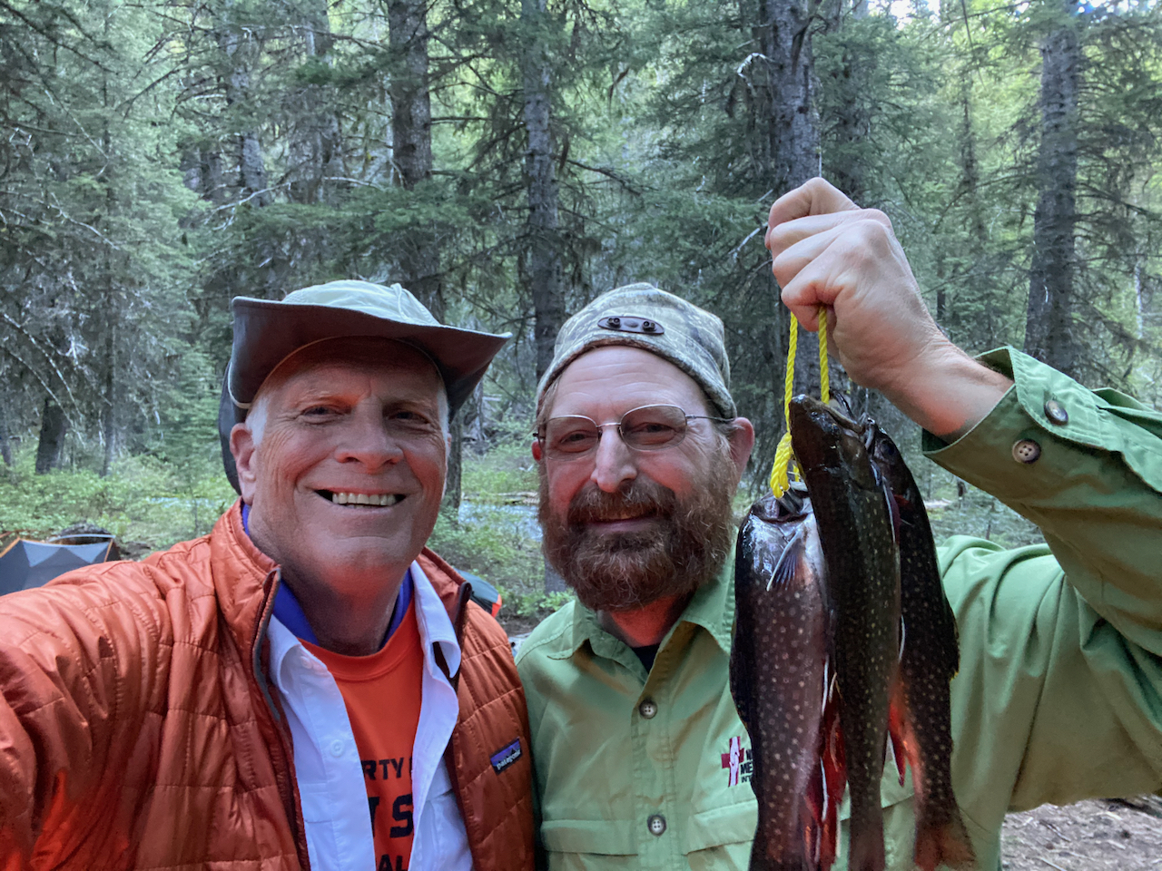 Our plan was to do the loop starting with Slide Lake, however, Brook, decided that she did not want to carry her backpack and just took off to avoid her duty. Well, if you have followed Brook’s backpacking over the last few years you know that we have had some similar issues. Brook is complicated and this trip was her test for the 2020 season, and she failed. Of course she was not lost but she wasted half of our day as we had to look for her. The outcome was to spend another night at Strawberry Lake and do a day hike up to Strawberry Falls and Little Strawberry Lake.
Bryce decided to haul his float tube up to Strawberry Lake since it was not that far and it did turn out to be a nice recreational option. Bryce had some success fishing from it, but we also just used it to cool off in the lake.


Strawberry Falls and Little Strawberry Lake are must see. About a 1.5 mile hike further with some climb which set into to motion a gradual daily routine to get in better shape and acclimate to the altitude.


Hike to Strawberry Falls & Little Strawberry Lake
Strawberry Lake is at about 6200 feet but we would eventually top out at over 9000 at the end of the week by taking daily hikes.

The purpose of this wilderness get-a-way was to explore the Strawberry Mountain area but also to get in shape for the 2020 backpacking season. What I quickly realized was that it was about acclimating to elevation since I live at 300 feet. Each day I could feel my body adapt to an extra 1000 feet. I am so glad I did this since it should set me up well for the Timberline Trail around Mt Hood in another week.
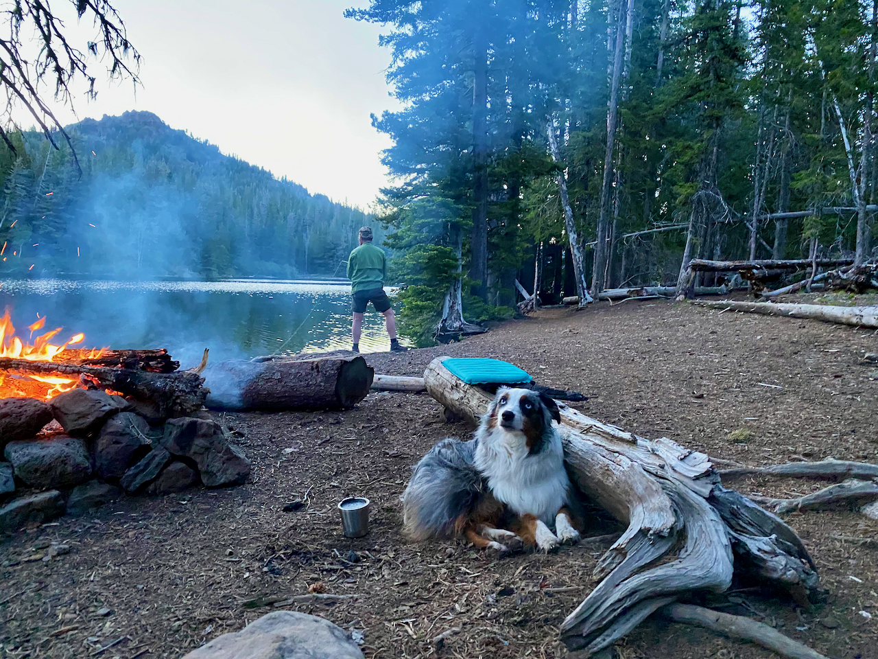
Night 2 at Strawberry Lake
We ended up camping at a different spot on Strawberry lake on our second night. It was on the east side of the lake with a much nicer view of the lake and stars. Our plan was to backpack to Slide Lake or further and still keep the loop option open to us by circling back to Strawberry Lake. However, I still had my eye on that great grassy beach campsite on the SW side of the lake. We decided that if that site opened up before we left for Slide Lake we would go take it over and then just day hike to Slide Lake. That is exactly what happened which set us up for camping the rest of the week at Strawberry Lake and just doing day hikes. This is not my normal strategy but in the case for this wilderness I now feel that it was the most attractive option.


Hike to Slide Lake
The hike to Slide Lake pushed most of the 1000′ vertical at the beginning and it was probably the steepest climbing we did all week, so the heart was pumping but it hurt so good.
Slide Lake
Slide Lake is beautiful with a hike that provides views to the East with a view point of Prairie City providing a cell signal. From this point on the trail flattens out with occasional small snow fields.

Strawberry Lake Grassy Campsite
You can hike around the lake which offered us some nice fishing holes. Hiking back to our primo campsite on Strawberry Lake made for a very complete day.
We were feeling really good about our exercise progress so we went to sleep that 3rd night hoping to hike to the summit of Strawberry Mountain on our last full day.
The hike from Strawberry Lake to the summit of Strawberry Mountain would require about 9 miles and a 2800 vertical climb. We got to pass by the falls again and then up into the meadows below the ridge-line over to the final summit ascent. The problem was getting to the ridge-line which was guarded by an imposing wall of snow. It probably would have been wise to have our ice axes but our drive to get to the summit gave us the motivation to take it on. We were careful and the snow was more firm in our ascent which helped a lot. Coming back down would present some new options.


Once on the ridge-line you traverse over to the north side at about 8700′ and your pumping heart is telling you that you may have come far enough, but you do need to finish the climb to the summit at 9038′.

Strawberry Mountain Summit
After communicating with our families thanks to cell service on top we began our return to Strawberry Lake knowing that it would be so much easier going down, however, we still had the snow ridge to contend with. Bryce decided to glissade down it.
The glissade did look like fun but I opted for the conventional descent. The hike back to Strawberry Lake was an awesome end to a great week of hiking in the Strawberry Mountain Wilderness.  One last night on our primo campsite just enjoying the beauty of this place.


