Category Archives: Grand Valley
Still Time Left
Getting old is not always pleasant, but being old is a gift. The last few years have presented some health challenges that were starting to get me down. Shingles and then metallosis from skiing on my chrome/cobalt hips hit me hard; I didn’t seem to have the energy I expected I should have. Then, over the last month, I experienced colorectal discomfort that required a diagnostic colonoscopy. There is a diagnosis associated with this that you never want to consider, which definitely concerned my wife and even had me worried. The prep is very unpleasant; however, I needed a cleanout, so there was a positive takeaway. But what the heck was wrong? Thankfully, test results turned out good: some diverticulitis and internal hemorrhoids, but no polyps, meaning no cancer. OK, relief and a wake-up call—time to improve my diet.
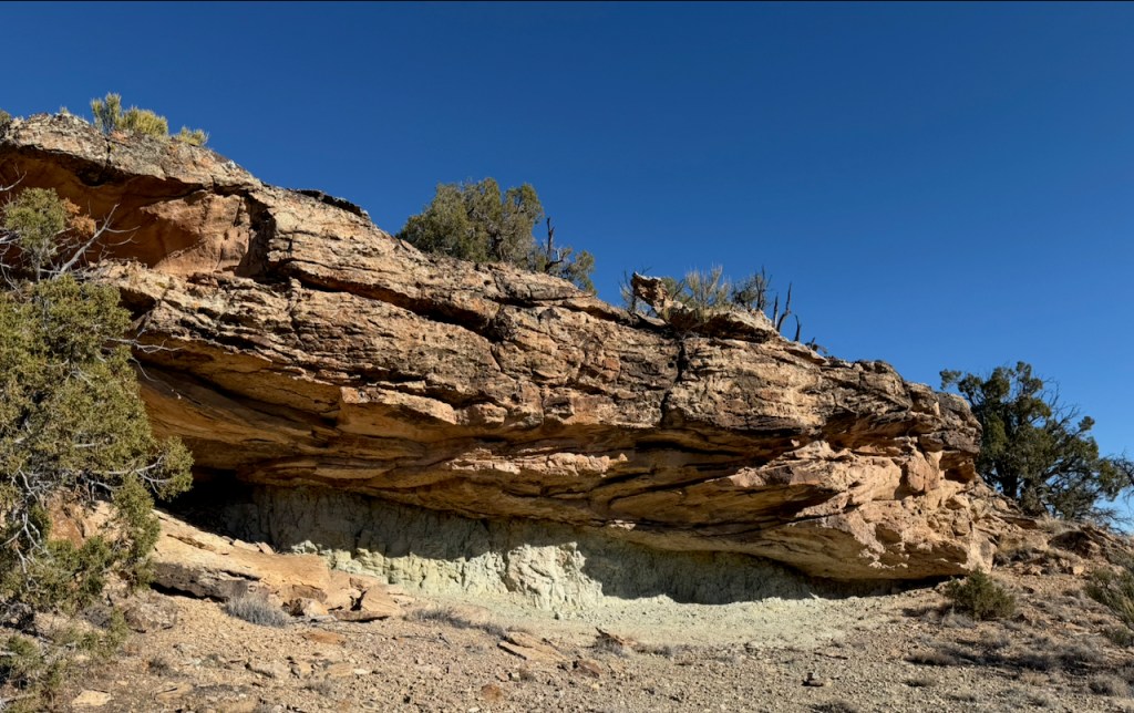
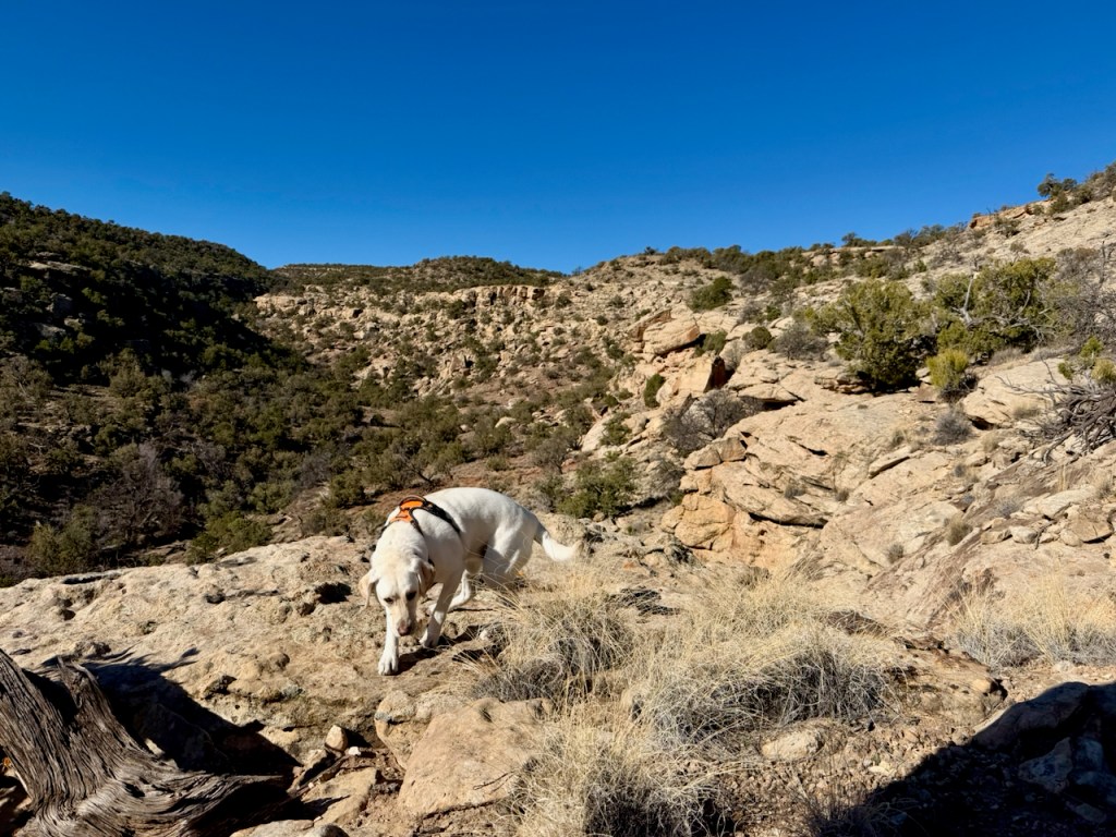
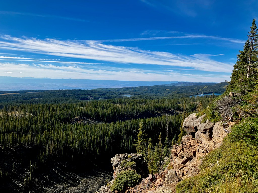
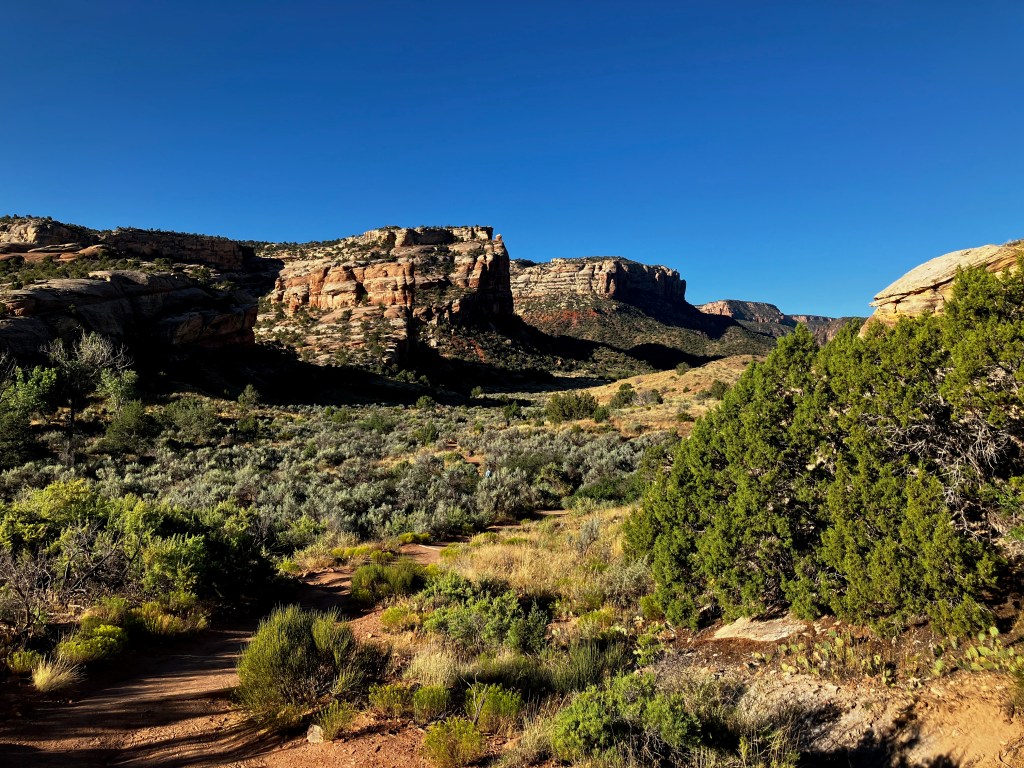
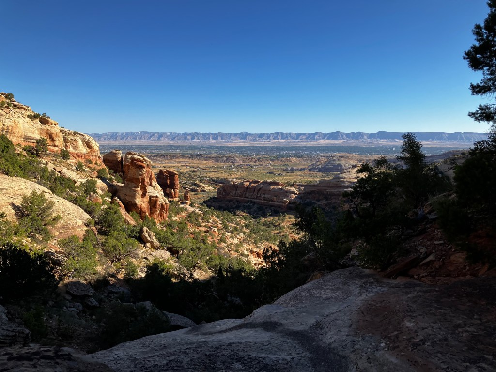
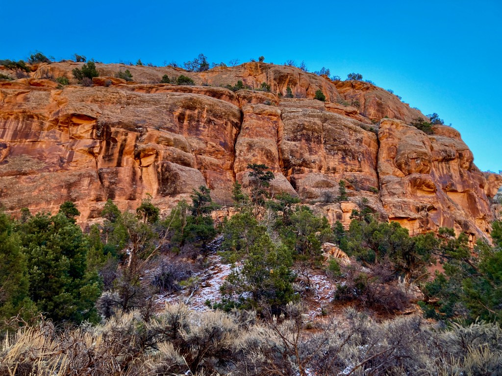
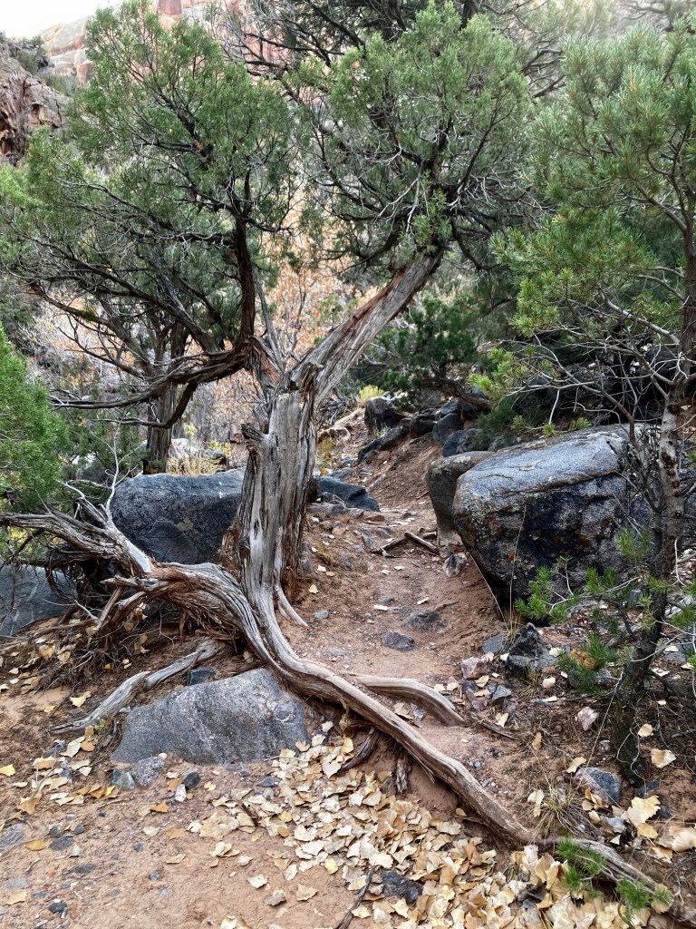
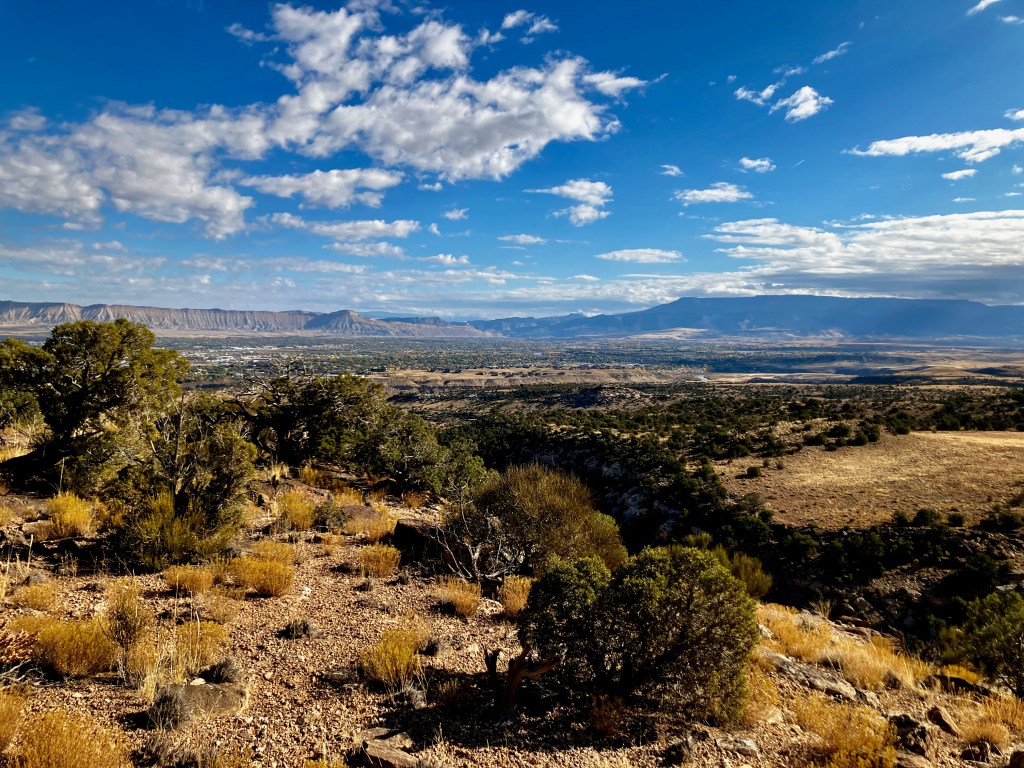
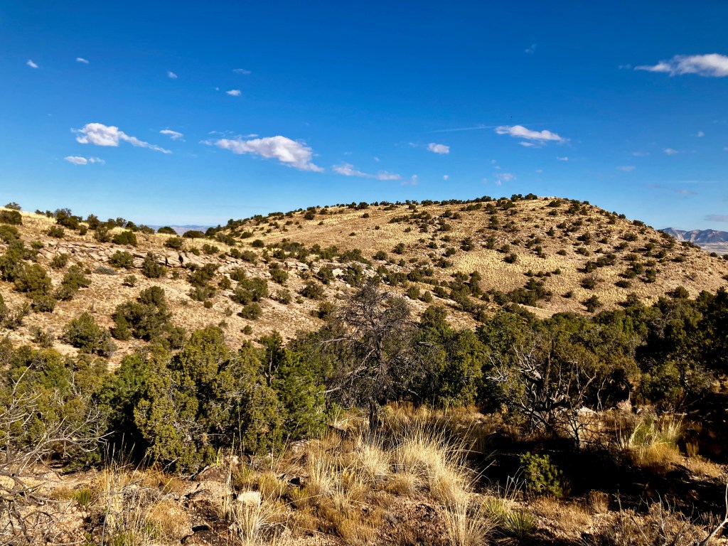
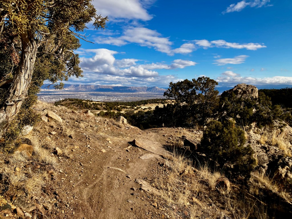
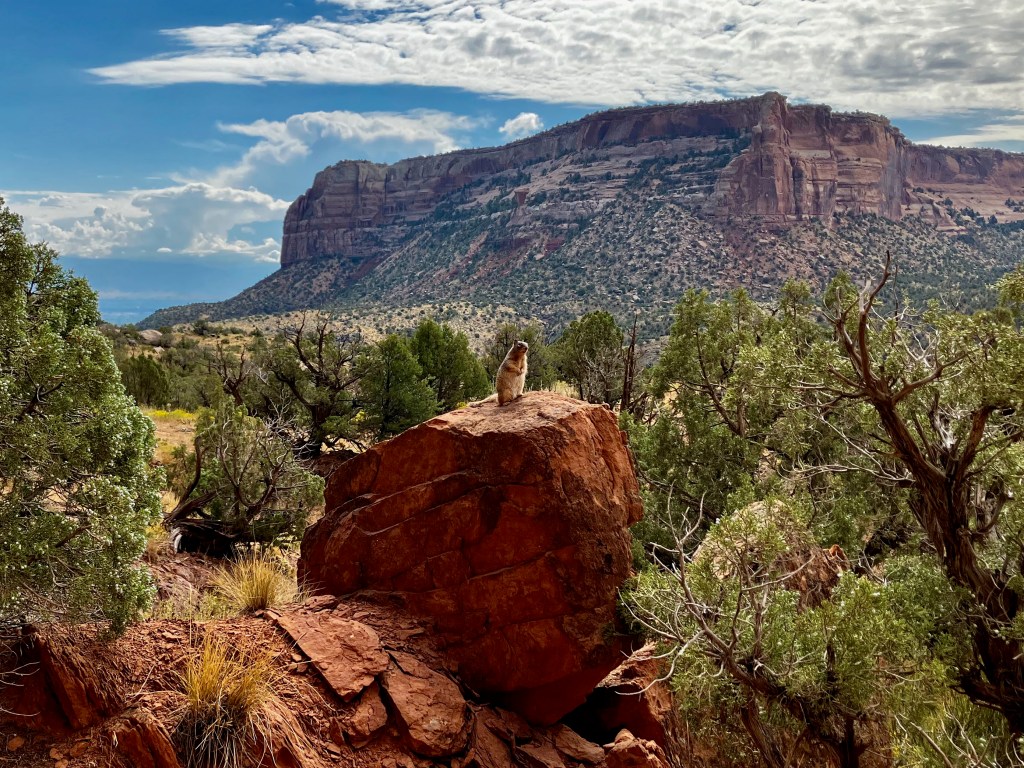
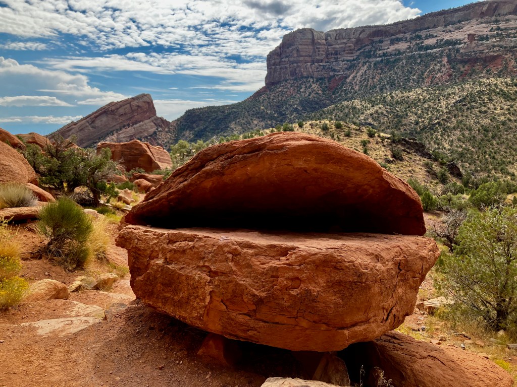
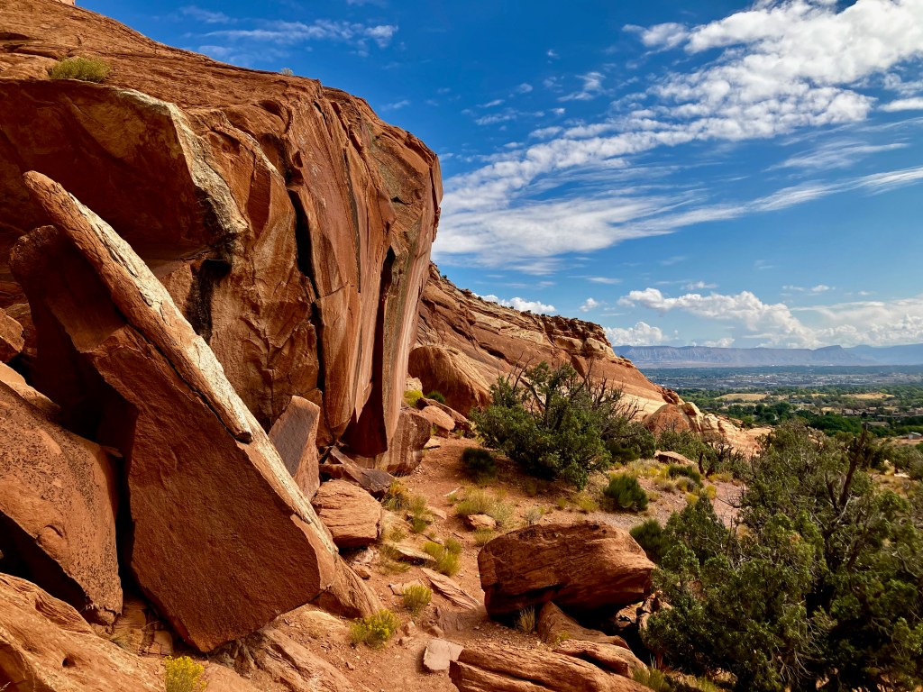
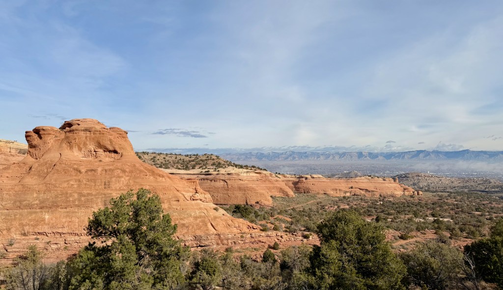
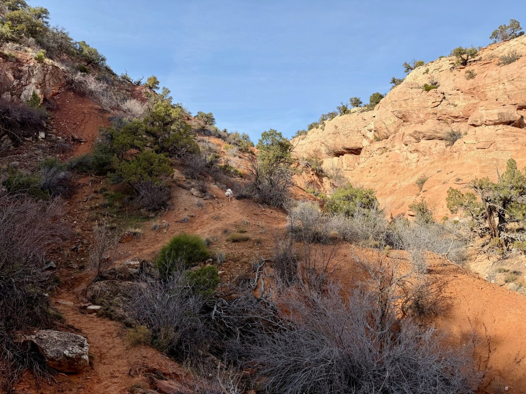
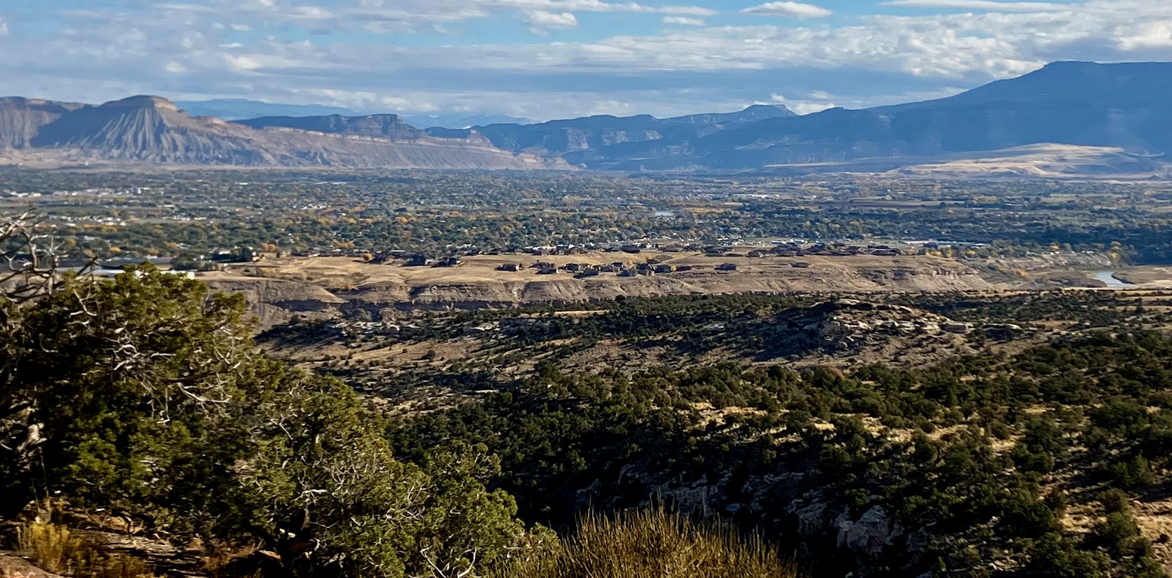
I knew that Gracie would need a good hike the day after, and I was hoping that I would feel the same. We headed for the Lunch Loop Trails, where I chose the Third Flats Trailhead to hike my modified Quad Rocker Trail. This involves a steep climb to merge with the Quad Rocker while taking in some great views of the Grand Valley. At first, I felt tired, but something was different other than my gut not being clogged up. I felt like I was getting stronger as I climbed, and the weather was perfect.
I finished my Dirtbag Diaries Podcast and then decided to just listen to my favorite music to enjoy how great I felt.
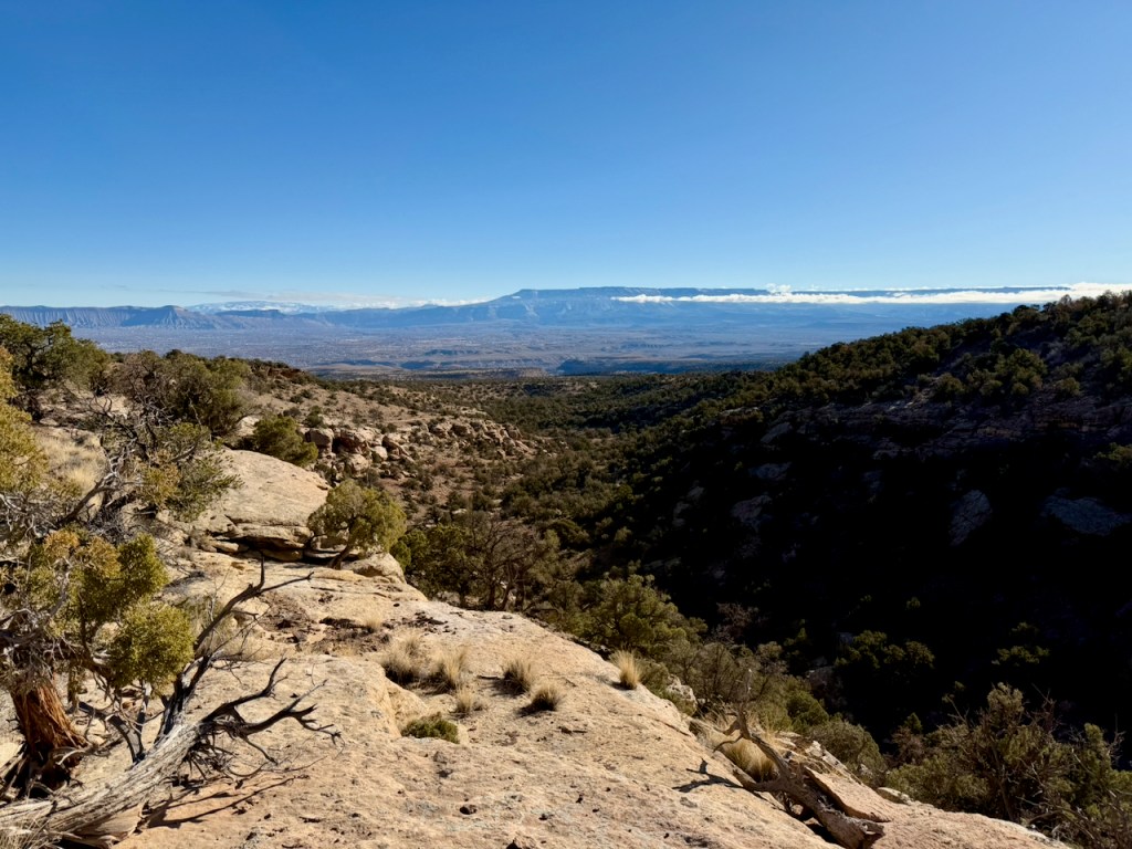
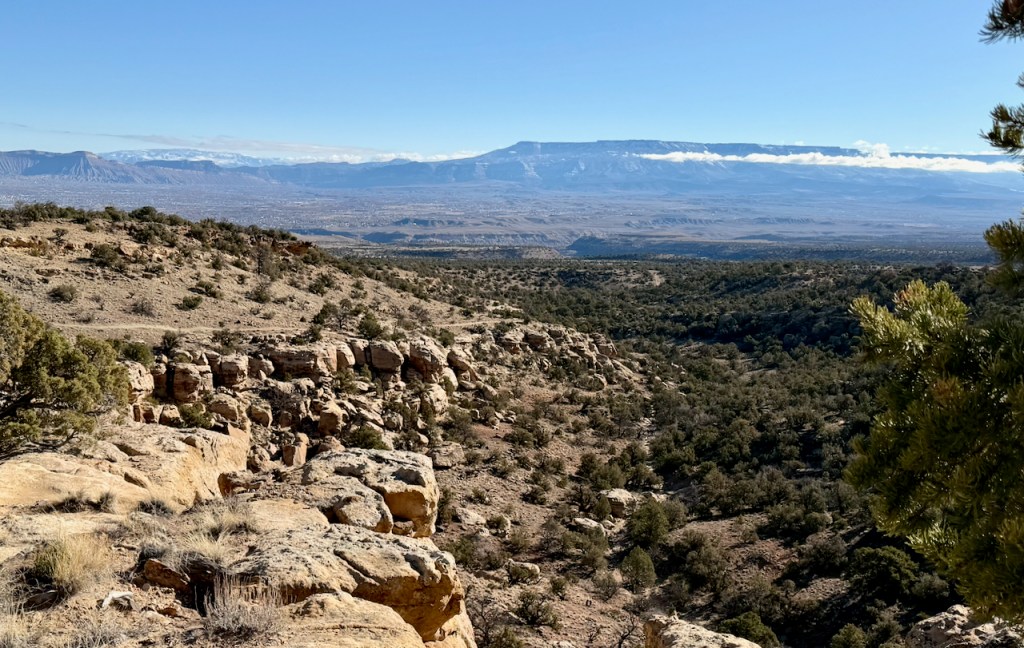
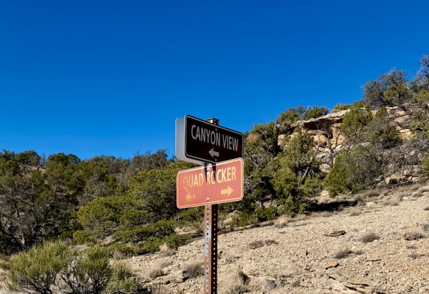
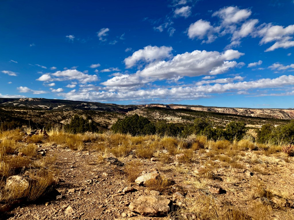
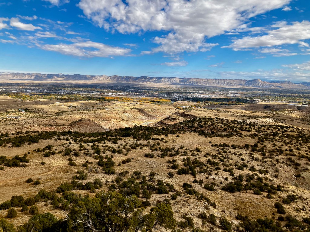
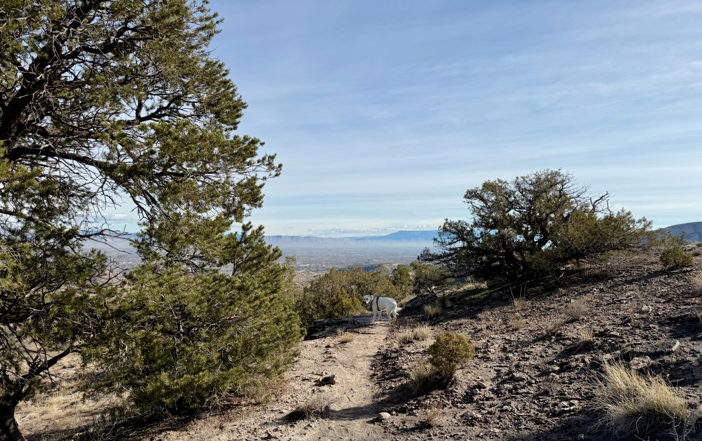
I came to a fork in the trail offering me the normal route back on the Quad Rocker to the trailhead or a longer route on the Canyon View Trail. I opted for the Canyon View Trail because my body felt great. Plus, the views of the mesa behind the valley were awesome.
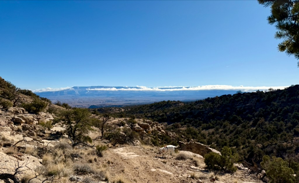
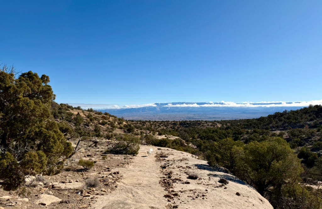
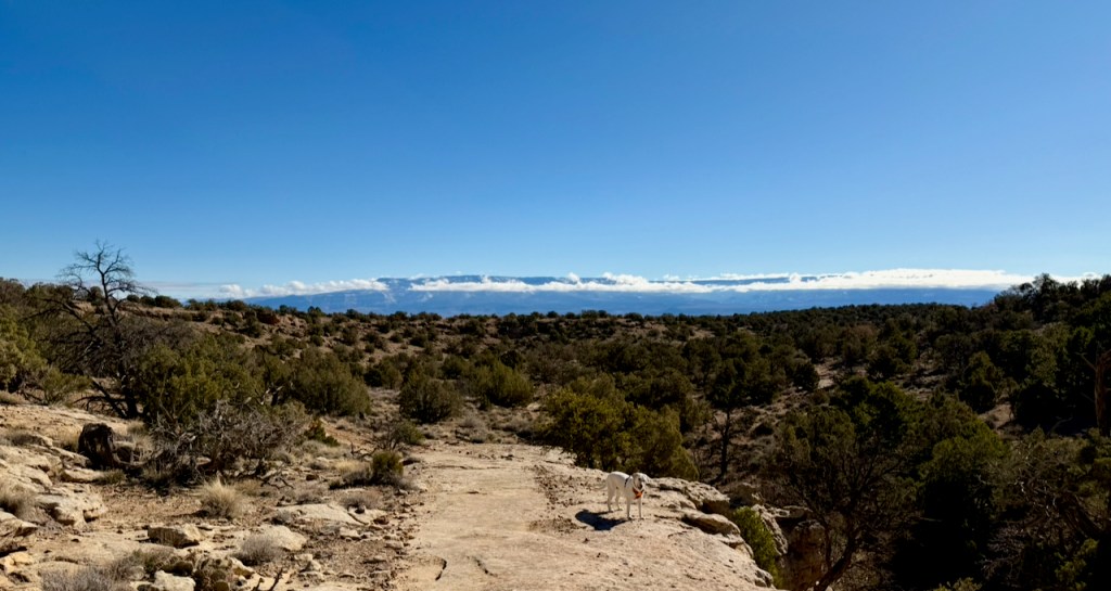
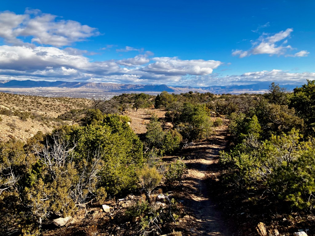
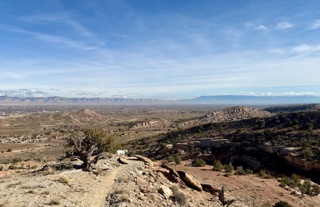
I could tell from my AllTrails app that I would eventually loop back to the trailhead, but it would require a vertical drop and climb. I still felt great, and this is when I decided to write this post to express how grateful I am to be able to participate in a hike like this at my age.
It was a long, gradual climb back to the car, but my body still felt great, even as I could tell that Gracie was wearing down. This is a Saturday, so it was good that we got on the trail early because the trailhead lot was full of mountain bikers ready to start their adventures. I will end this post with a big thank you, God.

HOA has Gone Astray
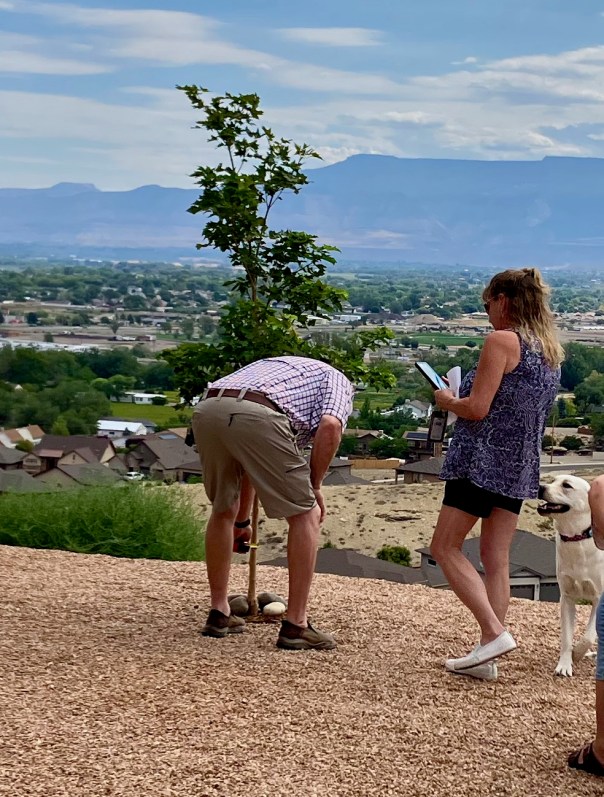
There is a reason why we tend to avoid buying a house that has a Homeowners Association, HOA, but of course HOAs are important for maintaining property values and promoting peace and harmony within a neighborhood. Unfortunately, it is all too common for an HOA to be led by humans who always wanted power but never earned it. Plus, the real problem is that nobody wants to serve on their HOA board, which allows a rogue board to go unchecked. So this post is about my experience with our HOA in what has played out to be the most egregious penalties you could ever imagine being levied against an owner. Spyglass Ridge HOA confiscated Pam & Greg Smith’s $2000 landscape deposit based on their backyard maple tree having a trunk caliper that was questionably short of the required 1.5 inches.
Since that verdict was rendered, it has come to our attention that the tree caliper was incorrectly measured. The entire backstory on this can be found at https://adventurecontinues.org/hoa.
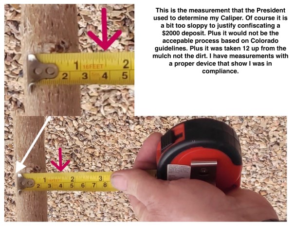
Here are the details about the caliper measurement
I have never gotten any feedback from an actual HOA board member so I decided that my next step would be the following request to the HOA on 11/5/25:
I would like to challenge the process by which we were not allowed a Board Review of our Landscaping Deposit Confiscation. How the 30 days was enacted without response to my request for clarification and how you waited until the 30 days was up before you rendered a final decision.
I really did not think that I would be granted my review request; however, on 11/10/25, I was notified that I would be given 7 minutes to state my case at the upcoming HOA Board Meeting. So I prepared the following Statement that I would read at the meeting. I made this request to highlight the fact that our HOA provides very few options for interaction; all communication goes through the secretary. That alone is a red flag. I served on an HOA Board in Oregon for 15 years, and open communication is critical for harmony.
My request was the last item on the New Business Agenda; however, before I was given the floor, the HOA President gave his own timeline that focused heavily on everything except my actual request for a board review or the caliper measurement problem. Basically I was ambushed with the HOA Board attacking me instead of listening. Finally they stated that to be fair to all residents of Spyglass, they could not grant my request since I had not complied with the HOA’s landscaping regulations.
Later, I realized what they meant about being fair to all Spyglass homeowners, since many of them had been screwed by the HOA, I should also be screwed. This is actually very sad. Since I have started communicating about this egregious act, I have received numerous comments from other owners citing that they too have been unfairly treated and even bullied. The common thread, though, was that they now just want nothing to do with the HOA and just want to be left alone.
For proper context here are photos describing our landscaping at the time of the rejection, makes you wonder why would the HOA want to penalize an owner for striving to create one of the nicest landscapes in the community. Could their be a personal vendetta involved?
So what do I do next? My fight has never been about getting my $2000 deposit back, but I could easily turn this into a lawsuit to recover my deposit due to their caliper measurement mistake. But I don’t want to sue my own community; I just wanted to help repair the HOA. See Desired Action.
Here is a Link to the Complete Story: HOA Landscaping Deposit Confiscation

Grand Junction, CO
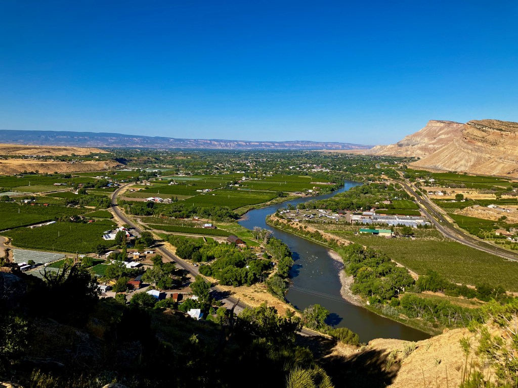
I plan on riding out my remaining years in Grand Junction, CO, so I thought it would be handy to explain why this place captured my heart. I have gone through a major life change over the last 2 years. Divorce, reconnecting and marrying my high school sweetheart, Pam, and relocating to Grand Junction, CO. We are building our dream home overlooking the Grand Valley which will be my 30th move. So why Grand Junction? There are some logistical reasons such as being half way between our families in the US. Plus I have lived here before working at Union Oil’s Parachute Creek Oil Shale Project and I had lived in Colorado 76-87 so I knew of Grand Junction.
My life started settling down after the chaos of divorce, I then focused on where to land. I loved my previous home in Oregon; the Pacific Northwest was an awesome place to live, especially with the outdoor activities that I was always pursuing. But Colorado is also an awesome place to live, but where could I find that perfect combination of affordability and adventure? Divorce does deal you a significant financial hit, so affordability was a challenge. Cost of housing in Colorado immediately eliminated relocating to a beautiful mountain resort, or the Denver front range. I did want some city amenities but did not want to live in a crowded city. Grand Junction was on my radar, so I did my research and determined the Grand Valley could be an option. Homes starting at $400K are good values. Then I needed to get buy-in from my new wife, who had very little experience with the west, not to mention her family is mostly in Ohio. So I took her on a 5-week trip around the west to show her my life’s path and to expose her to Grand Junction the beautiful low humidity weather of western Colorado. Life Transition Post
It worked, we decided Grand Junction would be a great place to live. A big part of our story is the opportunity we came across to build our own house with an awesome view of the Grand Valley, but initially we were just searching for an affordable house ideally with a view of Mt Garfield (right). I’ll leave the house story (which is incredible) to another post, this story will be about Grand Junction.
Adventure
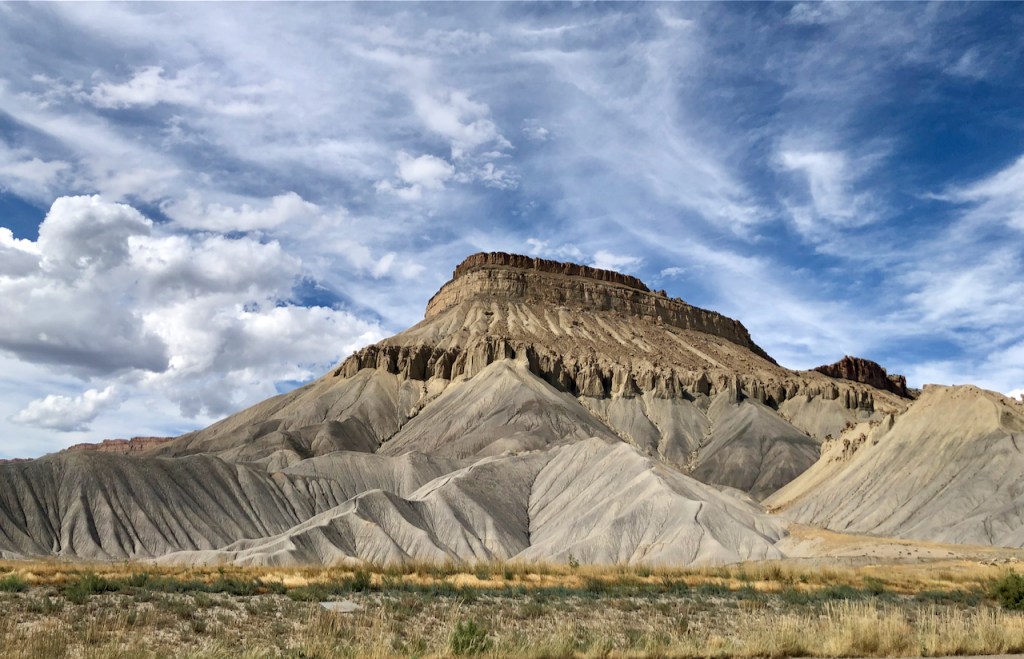
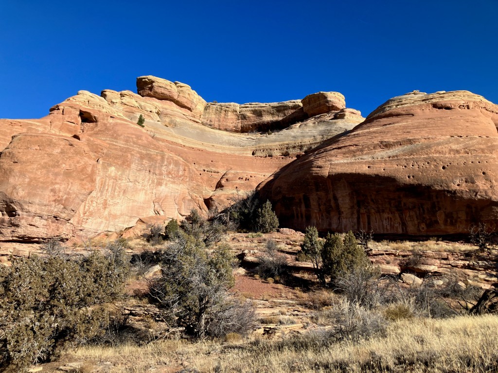
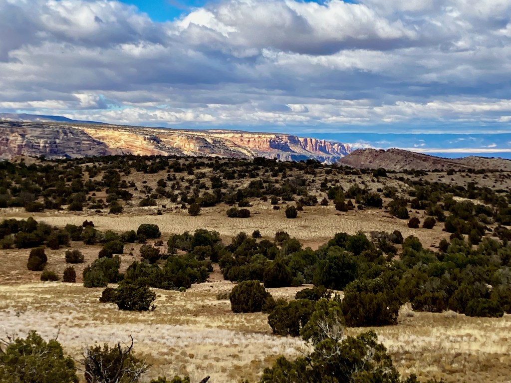
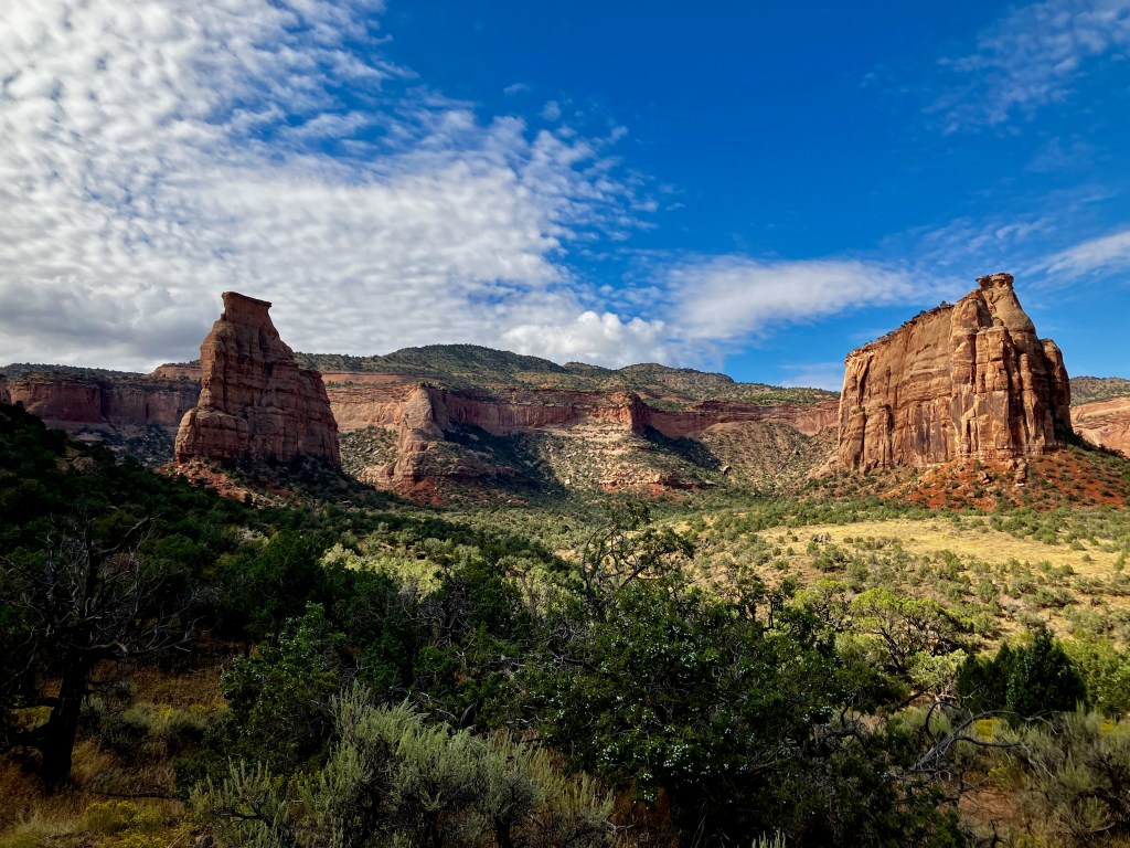
Grand Junction does not need a post from me to bring it publicity. It is already known as a fabulous place to live in the West. I will just give my review to help validate what is already known, and my followers will better understand what brought me here. For me, the adventure needed to continue, and I knew it had to offer access to wilderness. I guess I equate the exploration of new things, especially in the wilderness, as adventure. Making my final home in Grand Junction is an incredible adventure, and having all that western Colorado offers allows the adventure to continue. The nearby adventure attributes include the Rocky Mountains, Colorado River, Grand Mesa, Colorado National Monument, Uncompahgre Wilderness, and the 5 National Parks near Moab UT. Those adventure opportunities typically take the form of hiking and backpacking for me, but I never knew how much I would appreciate these opportunities year-round. My post “My Goto Hikes Around the Grand Valley” says it all.
Weather
The weather in the Grand Valley area is fabulous which makes all of those adventure opportunities a year-long reality. It really is an awesome climate, definitely a desert semi-arid mix. I would equate it to living in Phoenix, except 20 degrees cooler and far less crowded. It does get hot, maybe 30 days at or slightly above 100, but with 15% humidity, all you need to do is chill in the shade. Winter temperatures can get cold at night but generally get into the 30s & 40s during the day. Those temperatures again are enhanced by the lack of humidity; you can be very comfortable in the sun if the temperature is above freezing. I wouldn’t mind a bit more snow; the average snowfall is only 15″, but it sure is better not having to worry about snow. But of course, if you want to drive through the mountains to Denver, you will have to deal with serious snow.
Winter Recreation
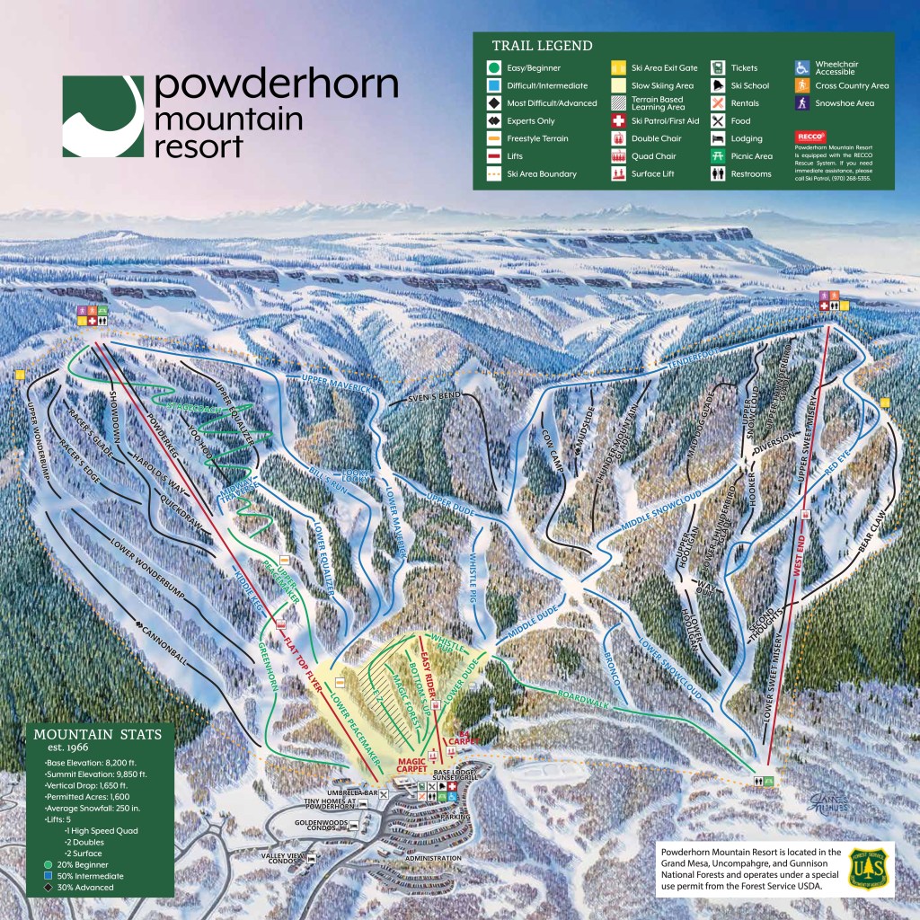
I will be 70 in a few more months, but I still enjoy recreation other then just hiking. Skiing has always been important to me, but I only need to ski a few times every winter to recharge that battery. Powderhorn Mountain Resort with 1650′ vertical is all that I need. I have skied most of the other big ski mountains, but my body can’t justify those prices anymore. Powderhorn has some great Blue Runs that totally satisfy my needs.


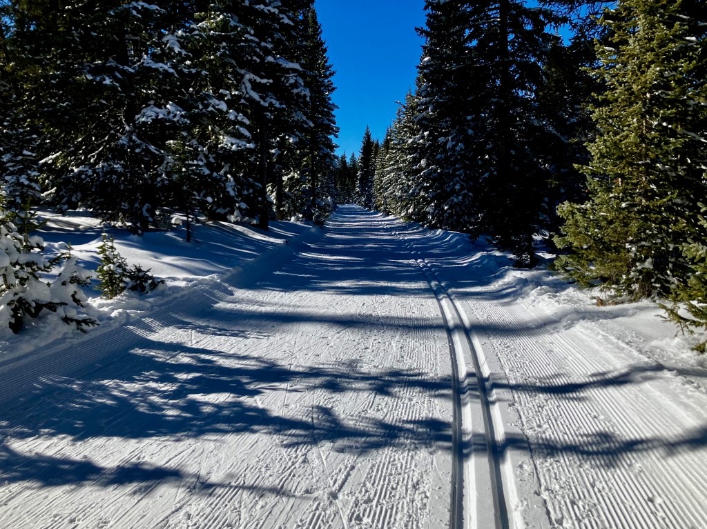
Nordic Skiing has not been in my blood since I was telemark skiing long ago around Steamboat Springs. But I took those 40 year old skis and had a wonderful time cross country skiing up on the Mesa thanks to the Grand Mesa Nordic Council.
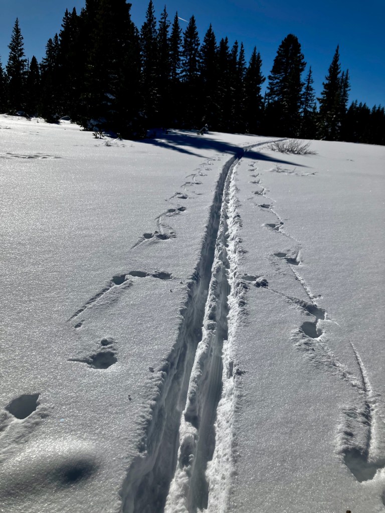

The go-to winter recreation options for the Grand Valley typically means going up to the Grand Mesa which is less than an hour drive. However, options such as Aspen, Crested Butte, or Telluride are easily accessible. I’m actually looking forward to taking my grandchildren up to the Mesa for some serious sledding.
Summer Recreation
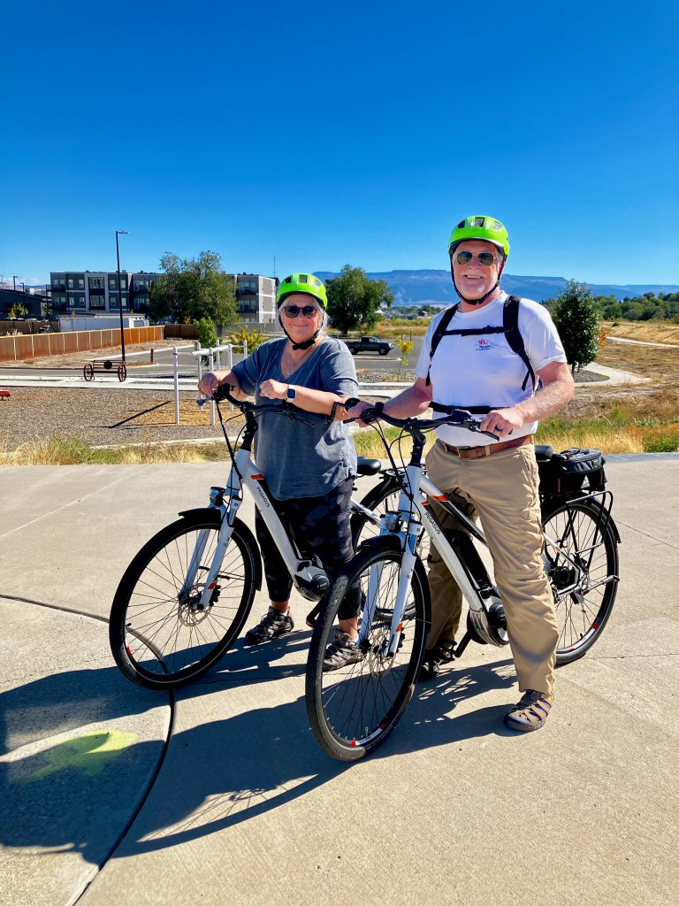
You can include all forms of warm weather recreation in the Grand Valley, but the most popular options, other than hiking, focus on water sports or the numerous biking trails, especially around the Colorado National Monument. I am looking forward to exploring options like Stand Up Paddle Boarding (SUPing) on the Colorado River or trying out some of the easier mountain biking trails. There are 28 miles of paved trails, mostly highlighted by the Riverfront Trail, which we have taken advantage of numerous times already.


Another activity that I am looking forward to returning to is Fishing, and oh boy, those 300 lakes up on the Mesa along with the rivers sure do encourage that.
Community
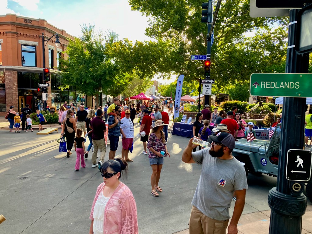
What kind of community is Grand Junction? It is a regional hub for commerce, serving a very large region of western Colorado and eastern Utah. This means having most of the big box stores and restaurant chains easily accessible. We can confirm the availability of quality health care with a couple of strong hospital systems. Quaint downtown commerce environments are found in downtown Grand Junction, Fruita & Palisade. Traffic is not really apparent, there is a saying that you can get anywhere in 11 minutes, and I tend to agree. Excellent seasonal events are highlighted by the awesome fruit grown in the valley, most known for Peaches. Other telling features are happy people working at the DMV or Post Office. Yes, Grand Junction is a friendly place, but the locals do not want to see their secret discovered. I guess this post doesn’t help with that, but reality does kick in, which means of course Grand Junction is going to grow, but there is plenty of room still available.


This is a short personal review of our Grand Valley that may help others find their perfect home. In the coming years, I am hopeful that I will be putting out more backpacking posts from the surrounding wilderness. However, age is catching up with me, but that may be the greatest value of this area for me. There are so many amazing easy hikes that should allow me to live out my years with nature.

My Goto Hikes around the Grand Valley
This post will highlight hikes around the Grand Valley that I use for training and bliss. I will try to link an AllTrails link for each hike to offer some navigation and directions. I would also recommend looking up these hikes on the gjhikes.com site.
I have set up this list from easy to hard.
- Miracle Rock Trail, 1 mile 200′ vertical
- Devils Kitchen Trail, 1.5 mile 311′ vertical
- Echo Canyon Trail, 2.4 mile 500′ vertical
- Mica Mine Trail, 2.6 mile 290′ vertical
- Palisade Rim Trail, 3.3 miles 616′ vertical
- No Thoroughfare Canyon Trail, to 1st waterfall ~ 3 miles
- Gunny Loop/Connector, 4 miles 480′ vertical
- Gunnison Bluffs, 4.3 miles 305 ‘ vertical
- Flume Canyon Western Loop, 4.5 mile 505′ vertical
- Flume Canyon, 5 mile 500′ vertical
- Second Thoughts + Twist-N-Shout Trail, 4.9 miles 617′ vertical
- Monument Canyon Loop Trail, 5 miles 750′ vertical
- Devil’s Canyon D1 and D7 Loop, 5.1 miles 670′ vertical
- Pollock Bench Trail, 7 miles 920′ vertical
- Rough Canyon Loop Trail, 4.5 miles 900′ vertical
- Devils Canyon Loop Trail, 7 miles 800′ vertical
Miracle Rock Trail, 1 mile 200′ vertical
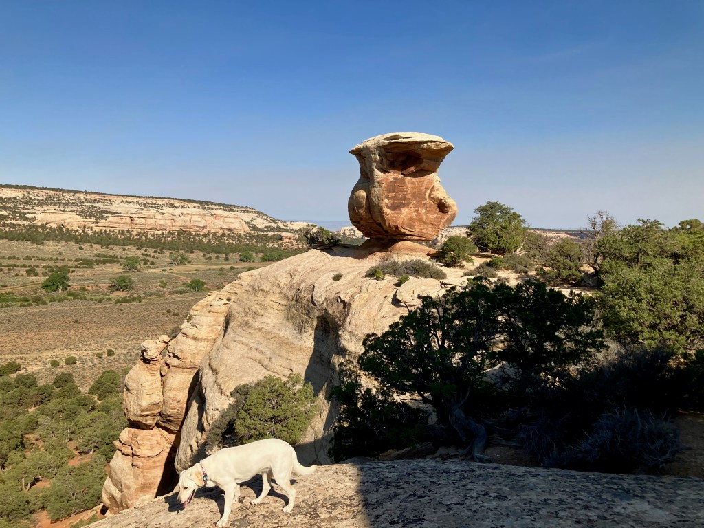
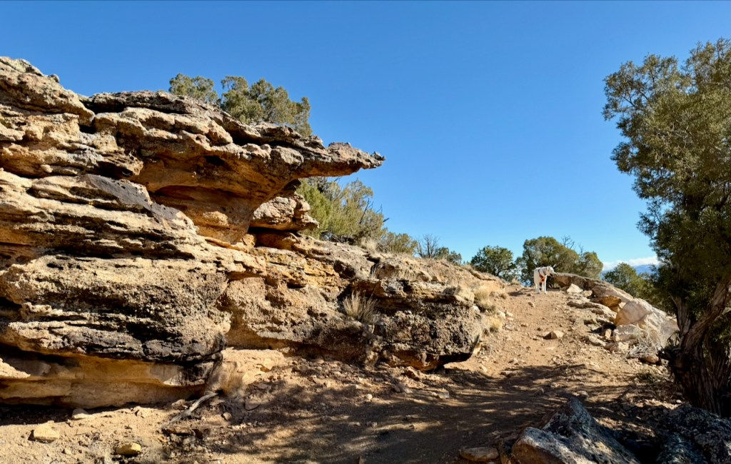
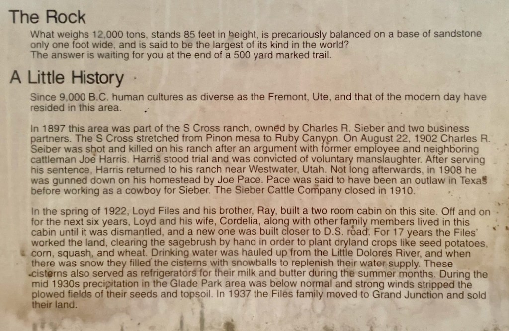
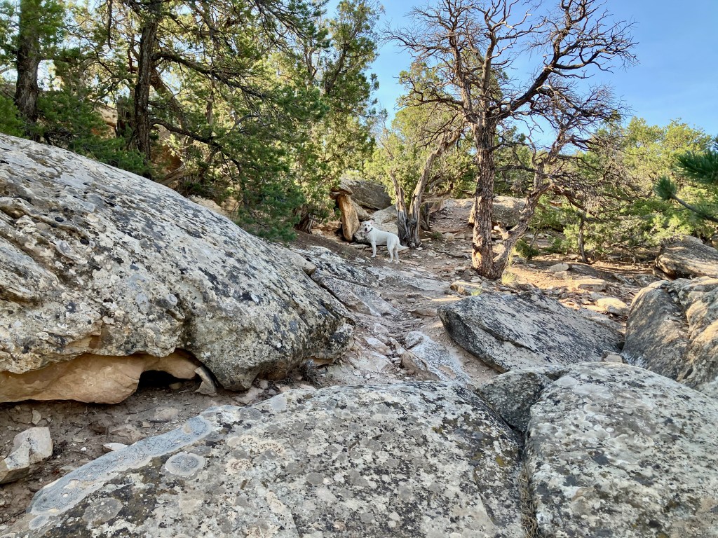
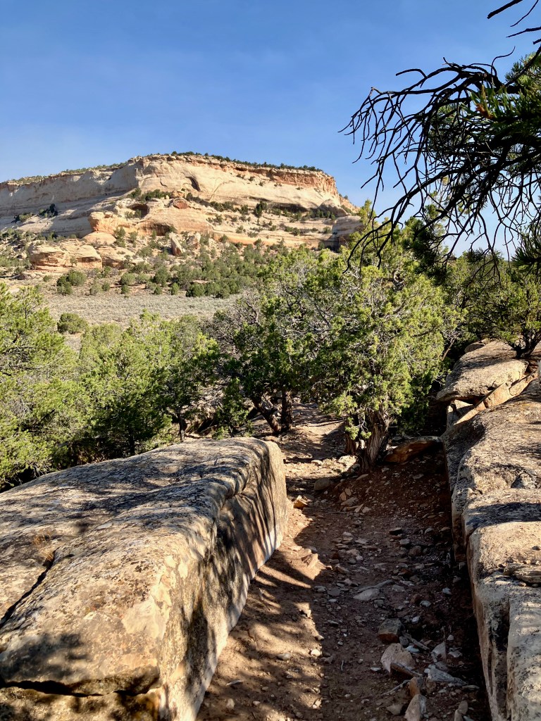
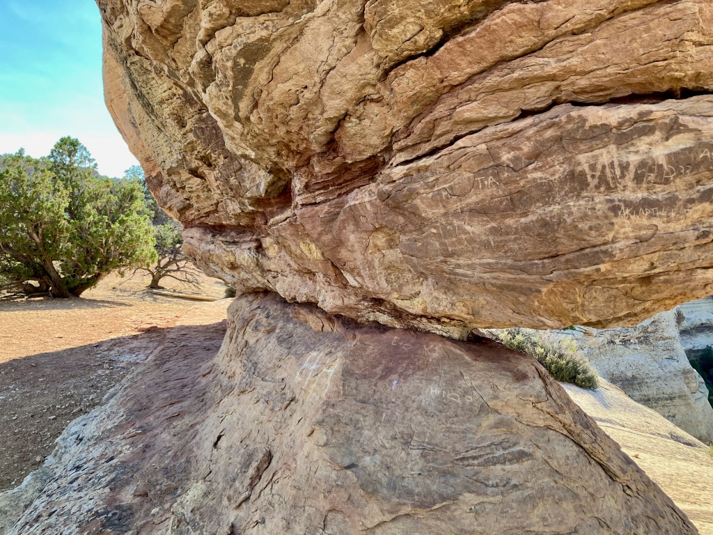
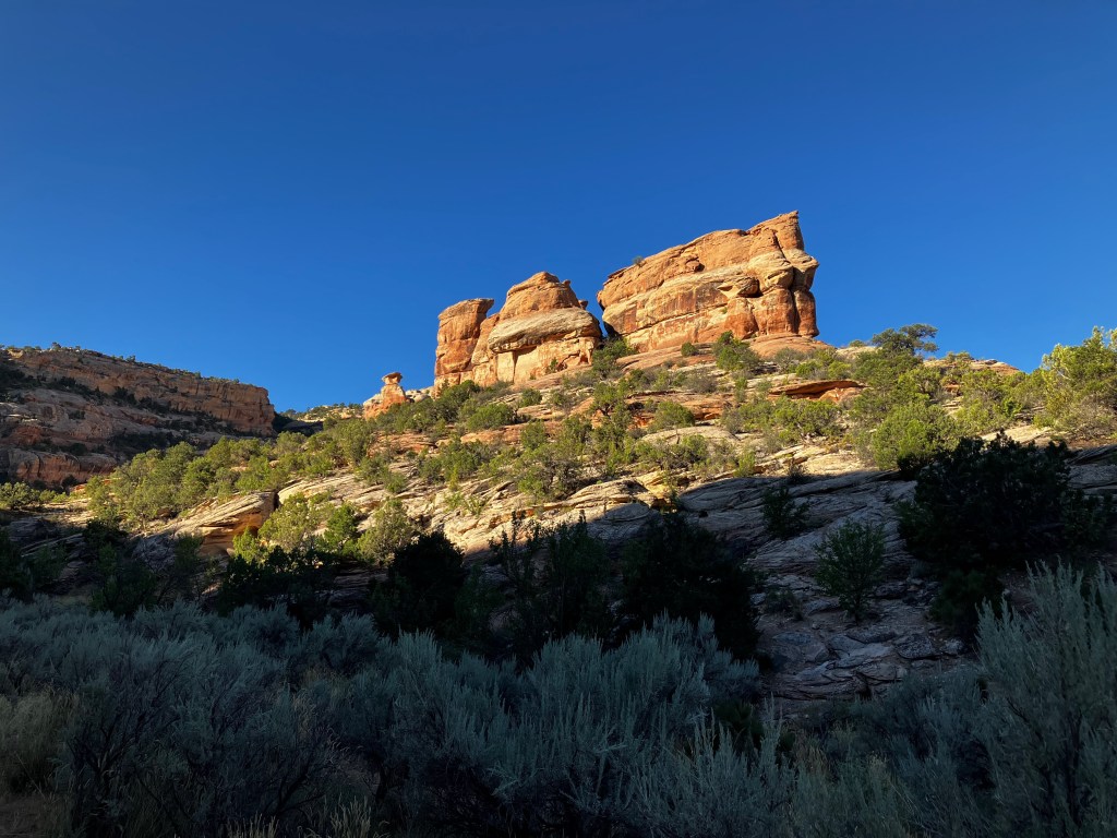
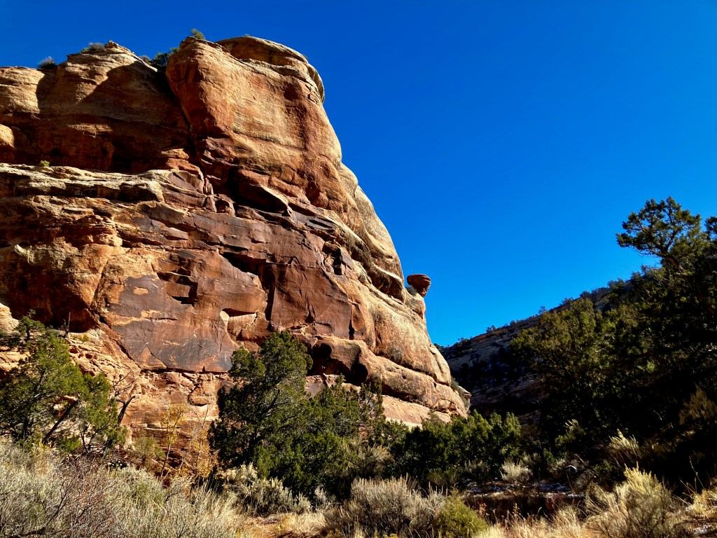
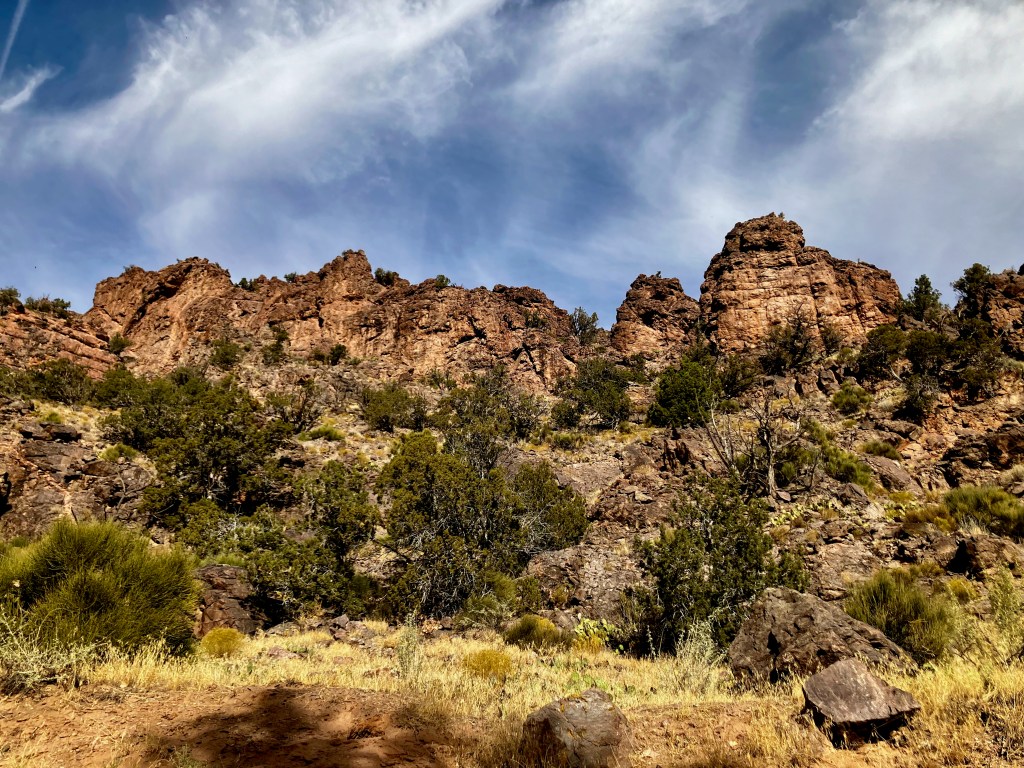
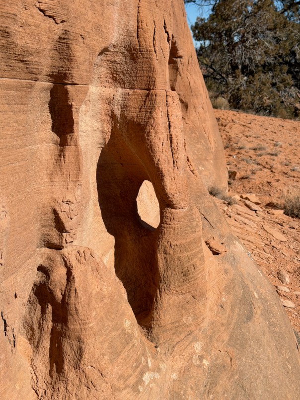
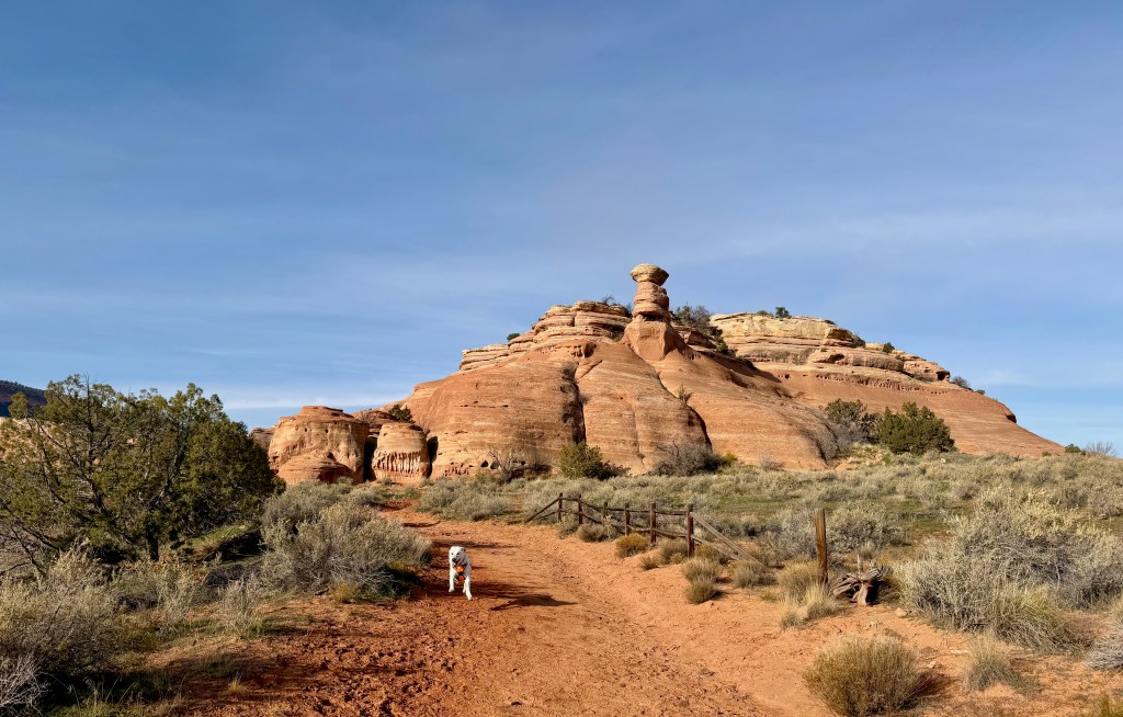
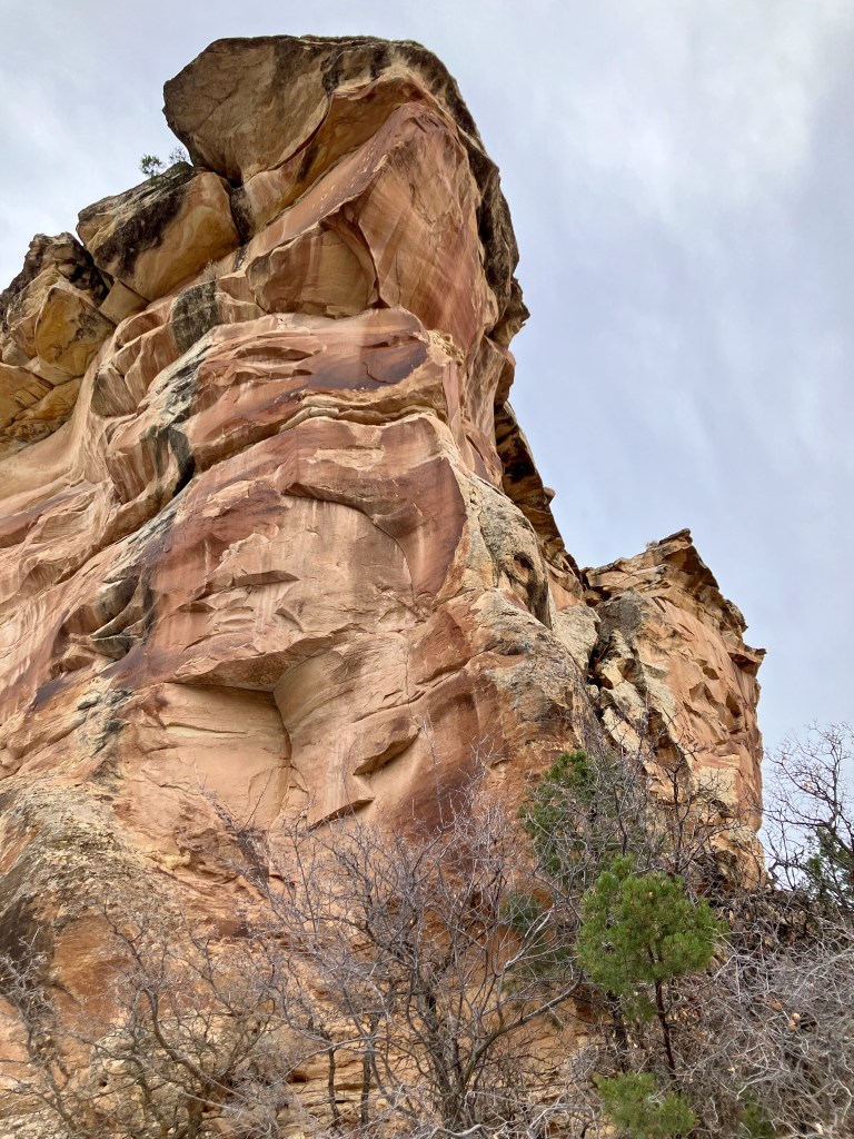
Miracle Rock Trail is located in the area of Glade Park just off of 9 & 8/10 Road. Miracle Rock weighs 12,000 tons and stands 85 feet tall, massive boulder, weighing hundreds of tons, that is perched on top of an area that is only 1 foot wide. The Trailhead is a very nice Picnic Area with a pit toilet.
Some interesting history of this site.
The hike up to the Miracle Rock is fairly straightforward of moderate difficulty. The primary views are of the Glade Park area but also some views toward the Little Dolores River valley.
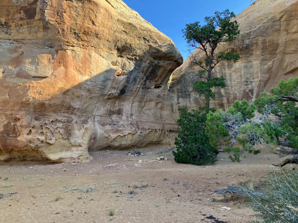
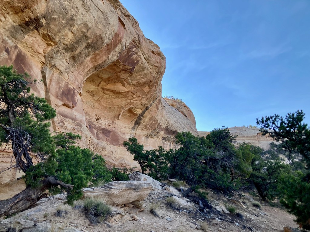
I hiked beyond the Miracle Rock at first. where the trail wraps around a rock wall, but there were some interesting formations and a nice place for a campfire.
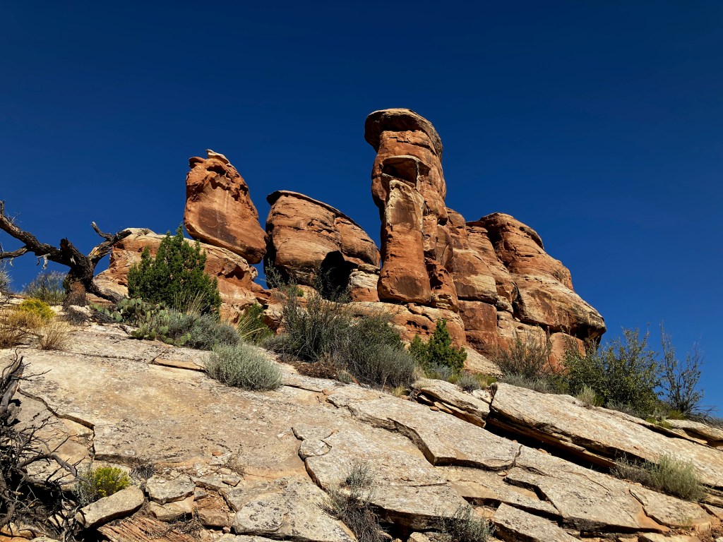
Heading back north toward the Miracle Rock began the array of views of this amazing perched rock.

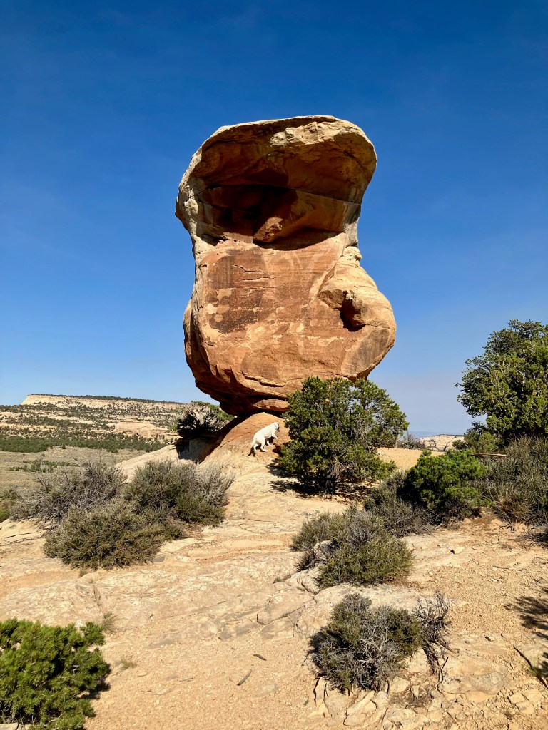
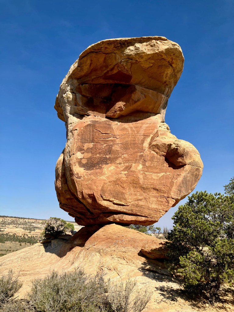
Views up close help to show how precarious this perch really is. You can’t help but wonder when this rock will fall over, hoping it is not when you are under it.
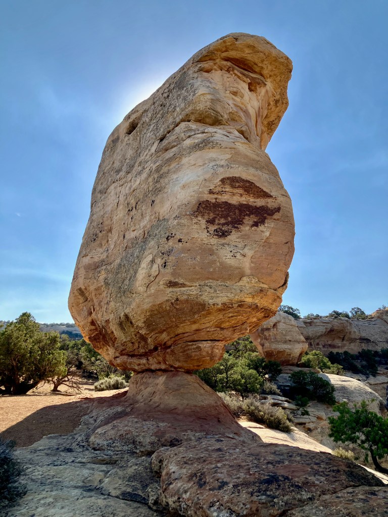
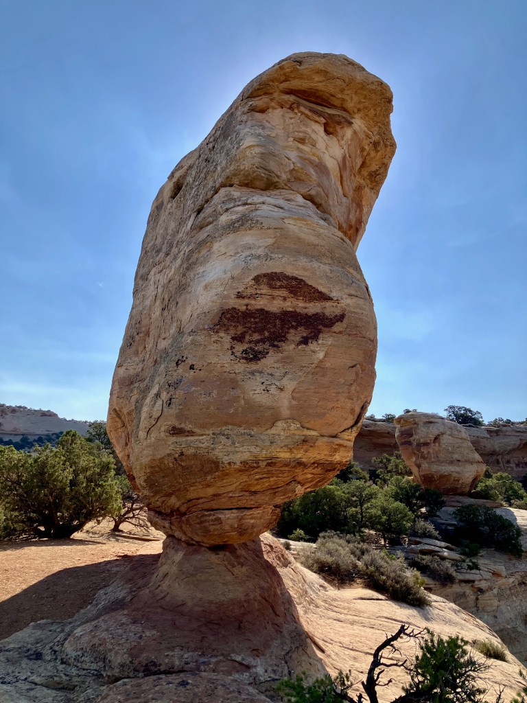
Overall Miracle Rock was an amazing reward for such a simple hike.
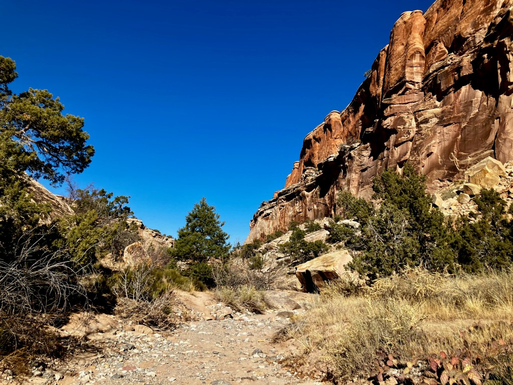
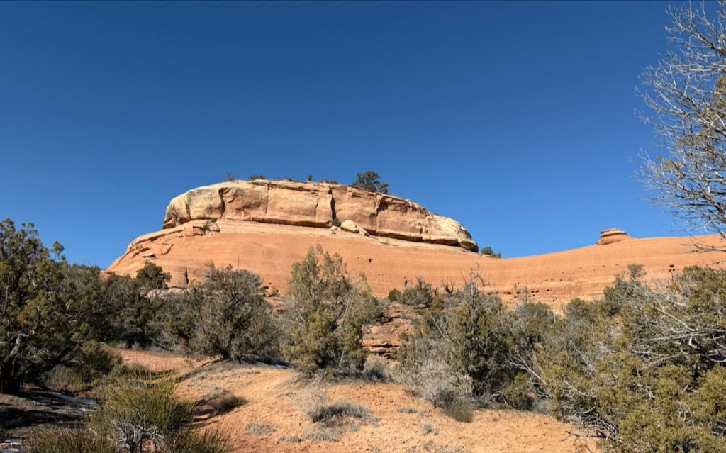
Devils Kitchen Trail, 1.5 mile 311′ vertical
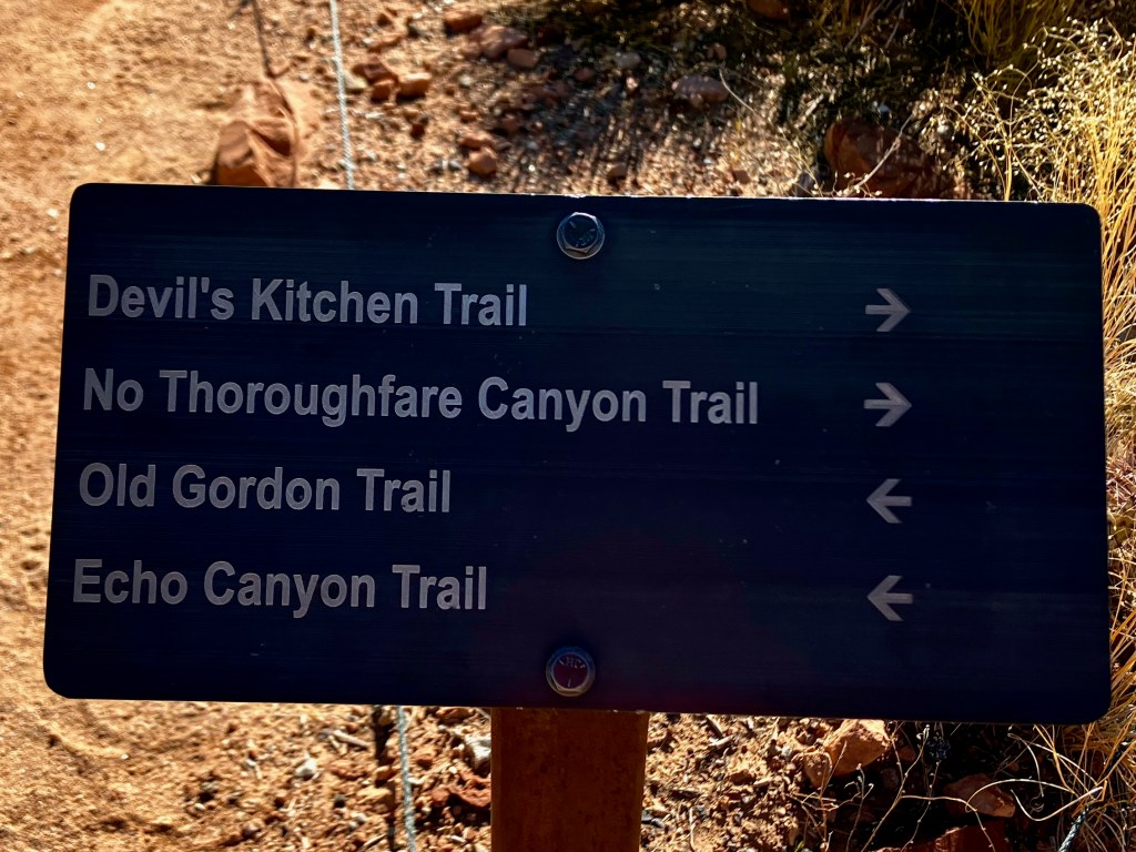
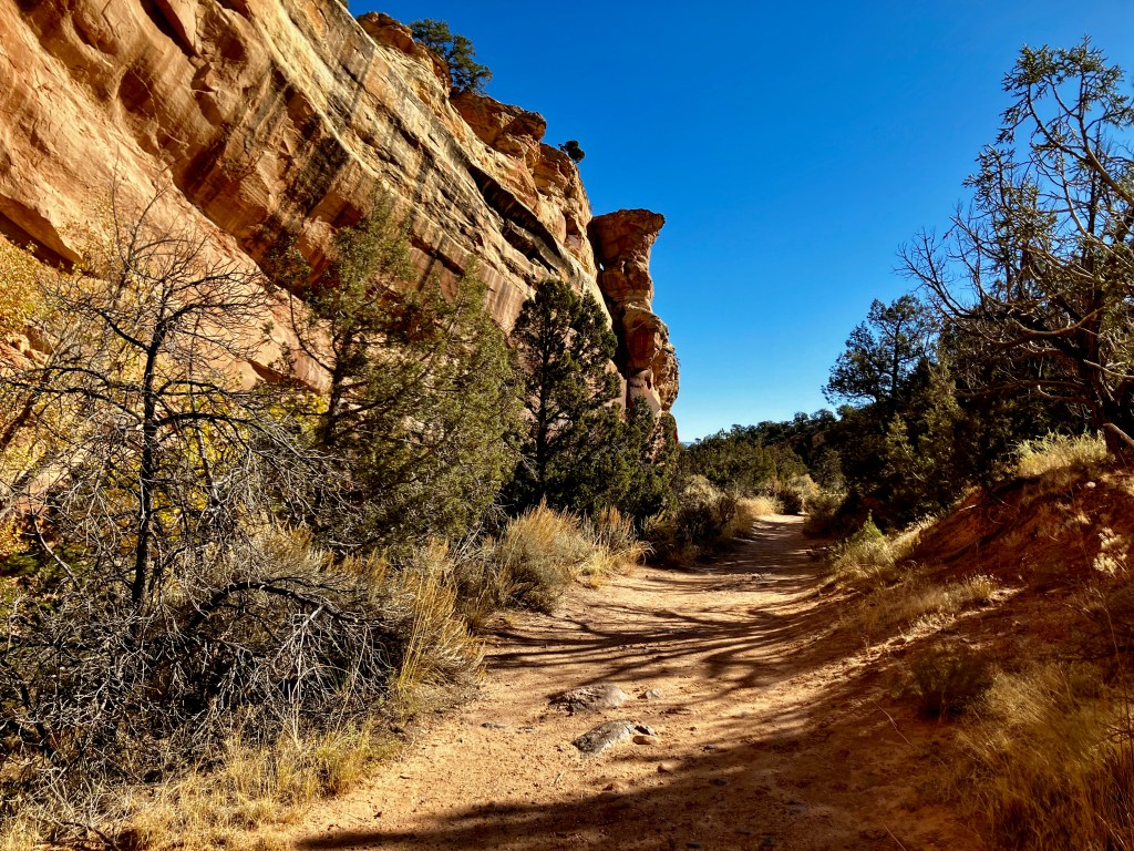
The Devils Kitchen Trail located just inside the East portal of the Colorado National Monument is perfect for getting started. I ended up hiking more then the 1.5 mile 311 ft vertical but that was because I was a bit rusty at using my hiking app. But this trail is doable by most anyone who can walk and the beauty offered the inspiration I needed. This hike starts from the Devil’s Kitchen Trailhead which serves the 4 hikes listed on the sign.
Echo Canyon Trail, 2.4 mile 500′ vertical
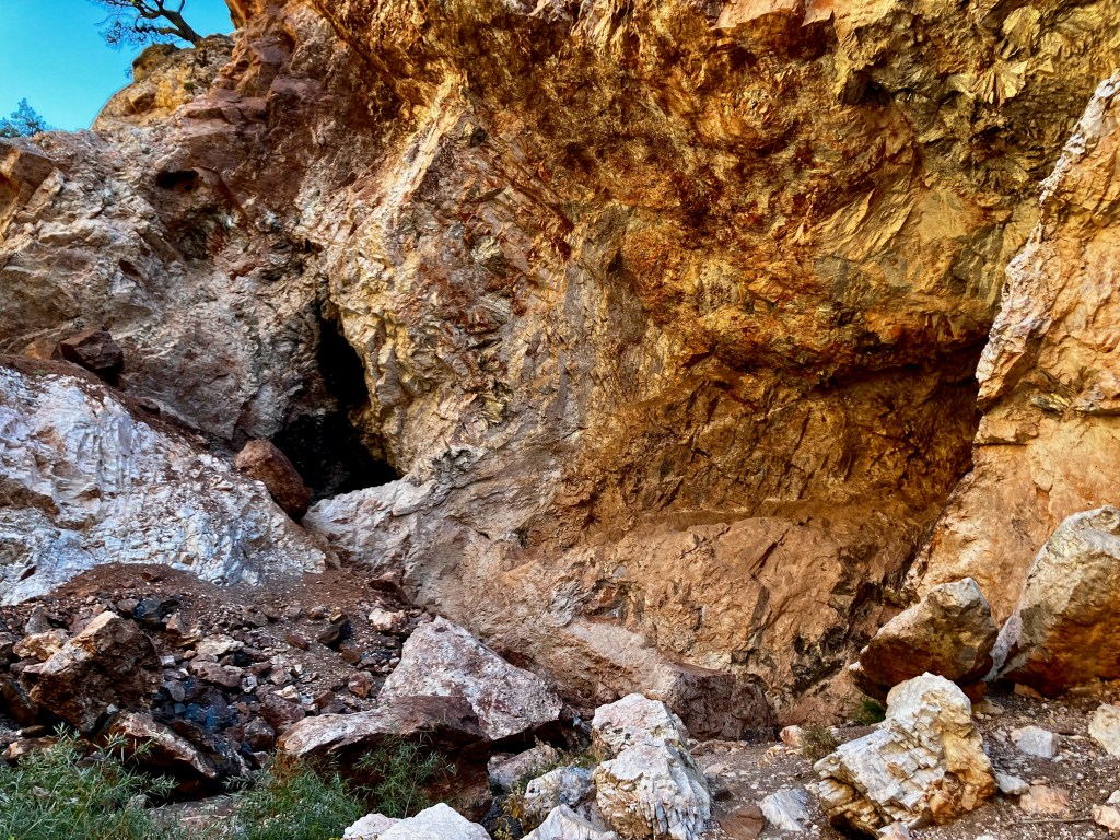
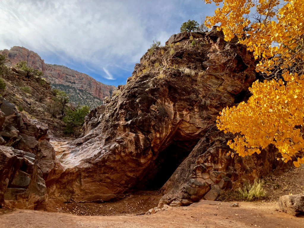
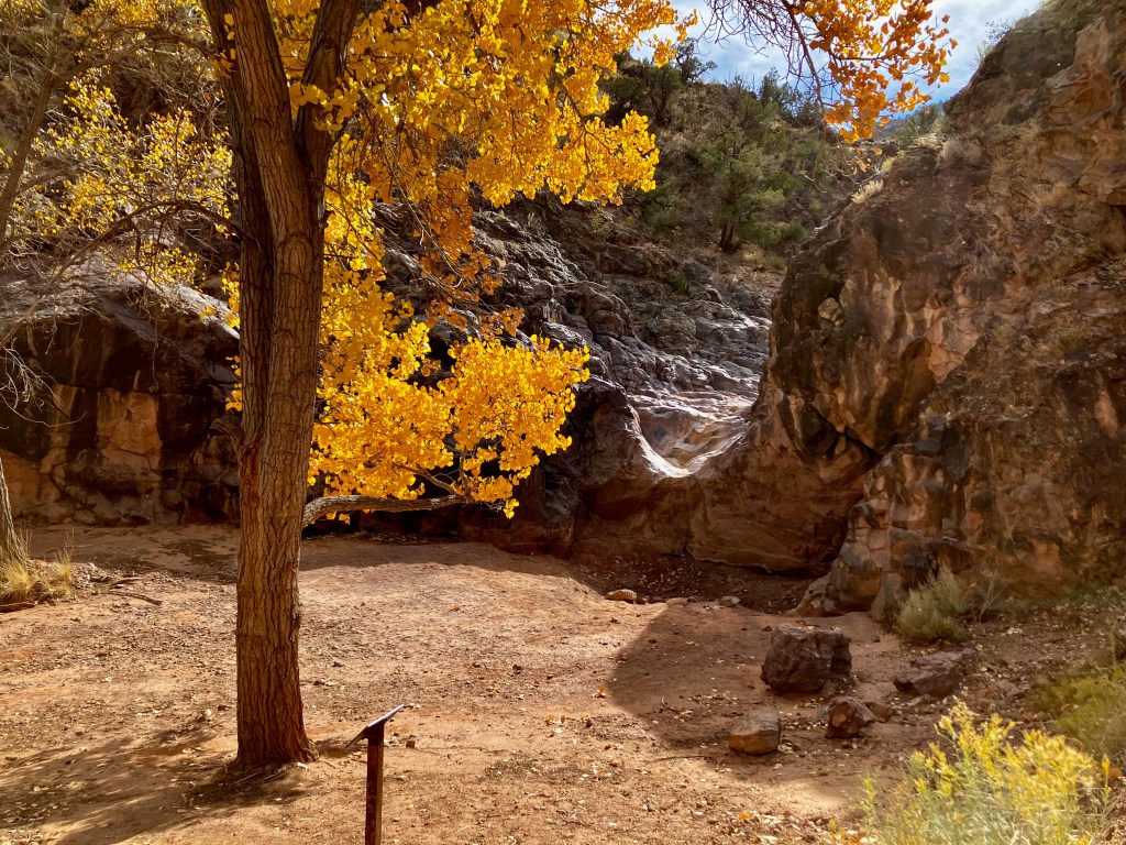
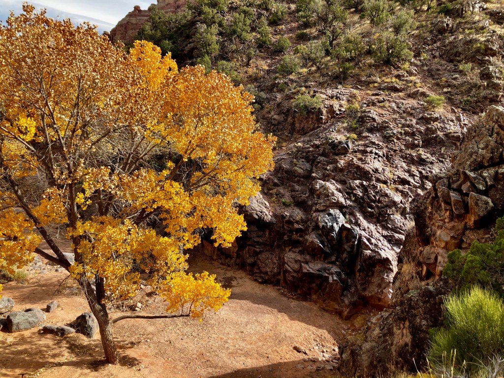
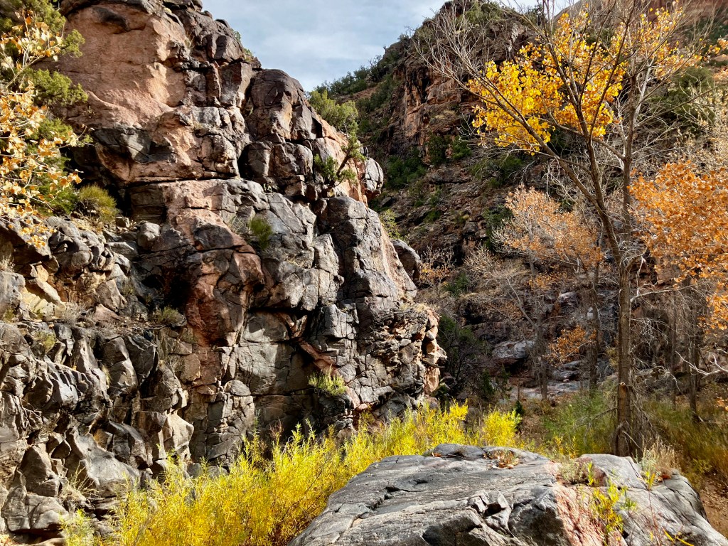
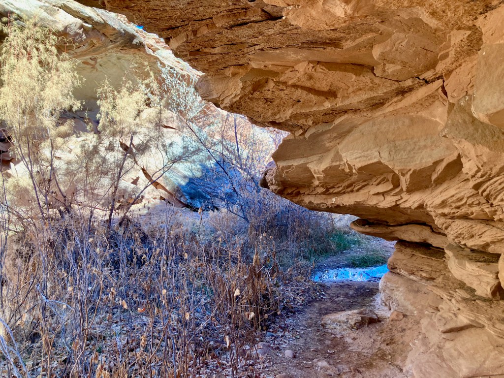
The Echo Canyon Trail in the Colorado National Monument is a moderately challenging 2.4 mile hike into what is truly an echo canyon. The waterfall is probably dry most of the year but the canyon and water spout is beautiful. This hike starts from the Devil’s Kitchen Trailhead which serves 4 hikes.

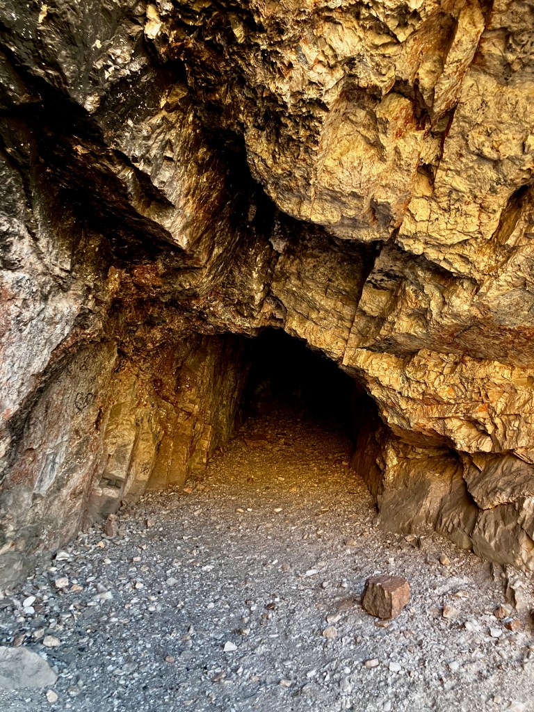
The echo canyon is the end of the trail and then you return. There are some minor boulder climbs of about 2 or 3 feet but not too difficult. There is a mining cave in the side wall, but it does not look like it was ever seriously used.
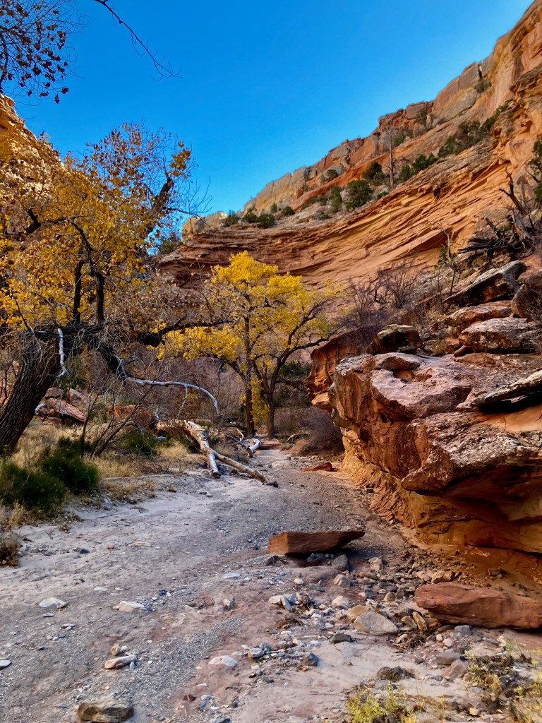
The hike back to the trailhead is just as beautiful. Overall this is a short hike with a lot of scenic value.
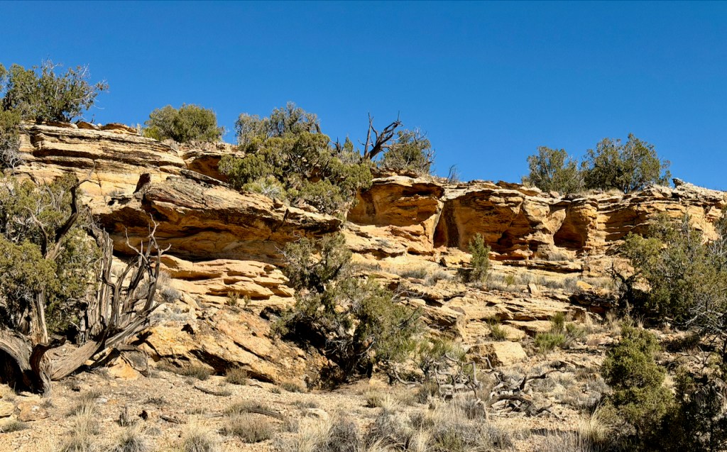
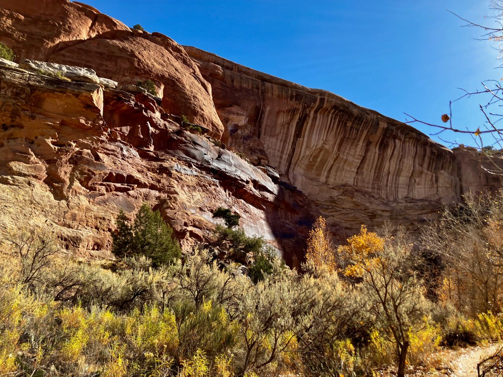
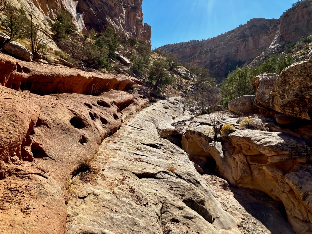
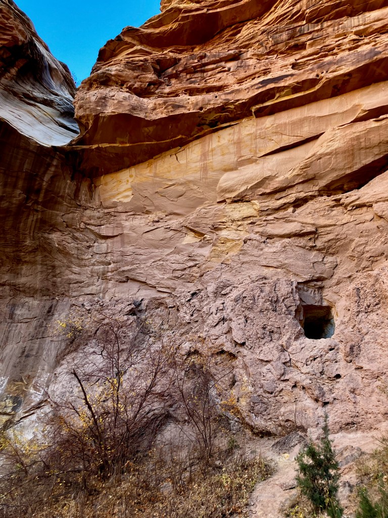
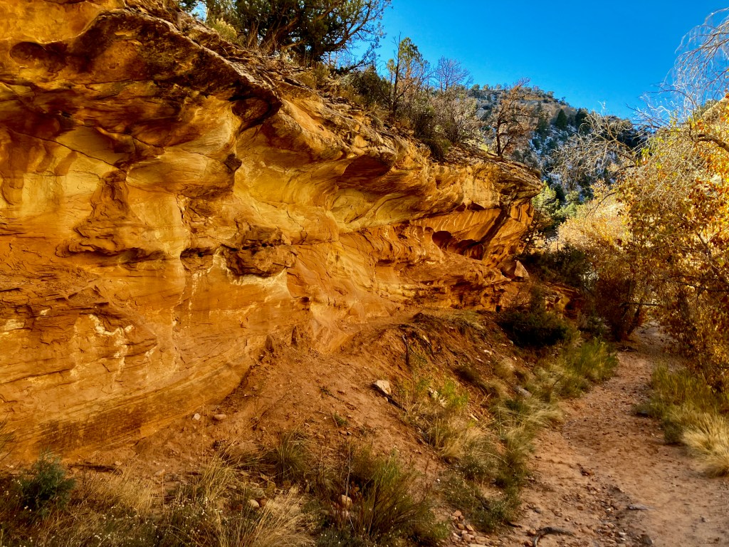
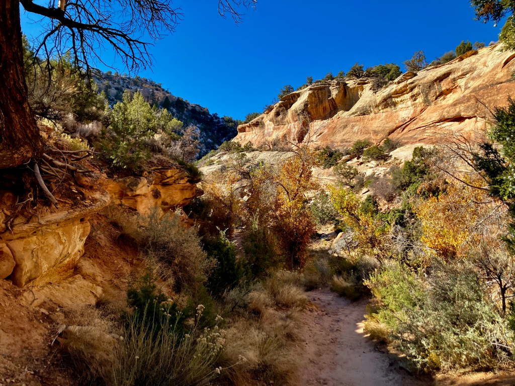
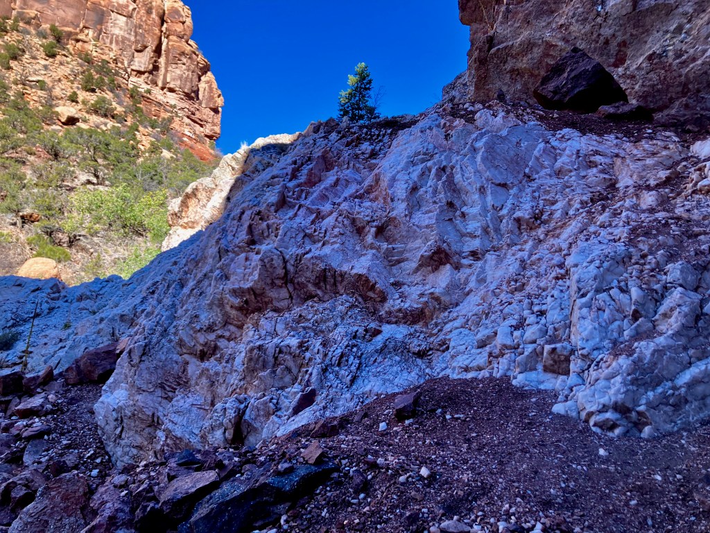
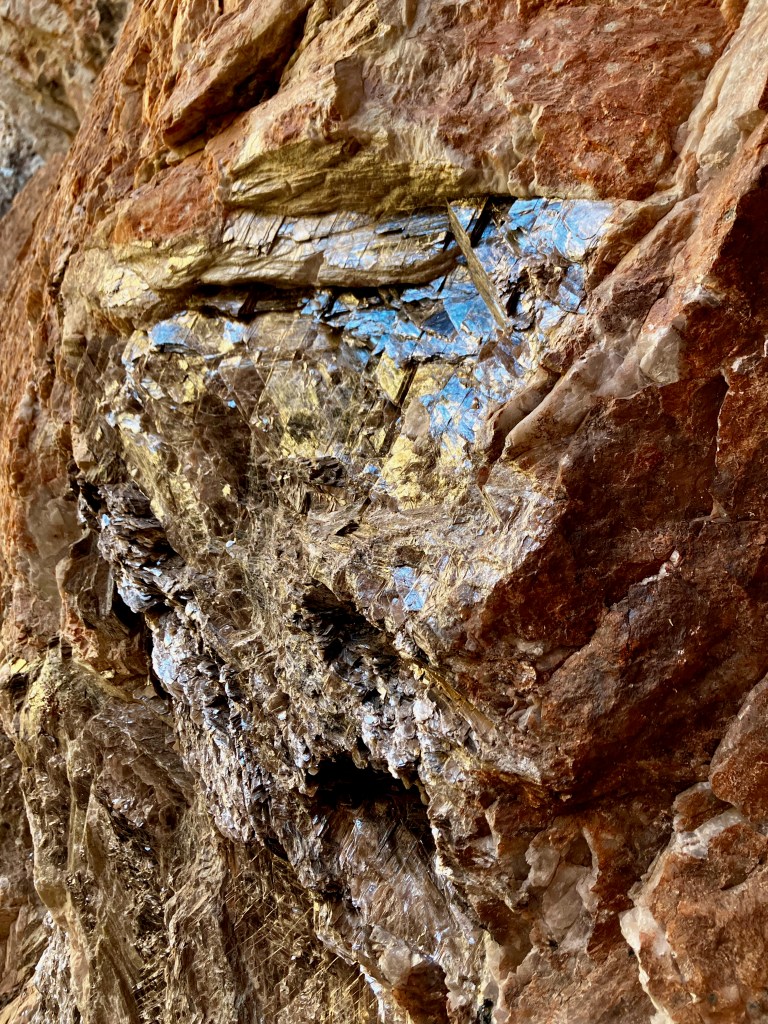
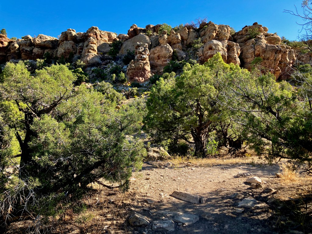
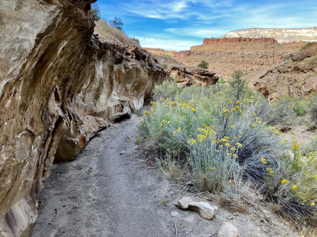
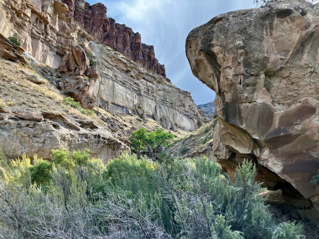
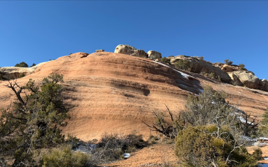
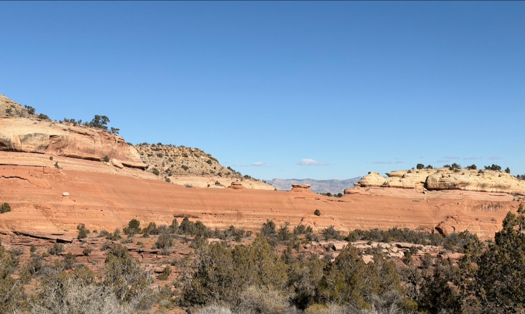
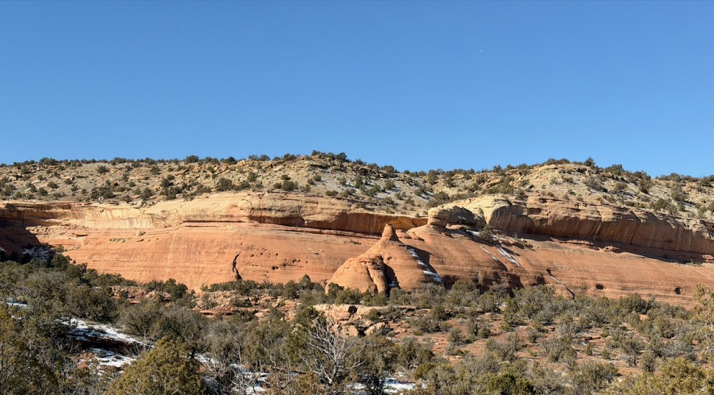
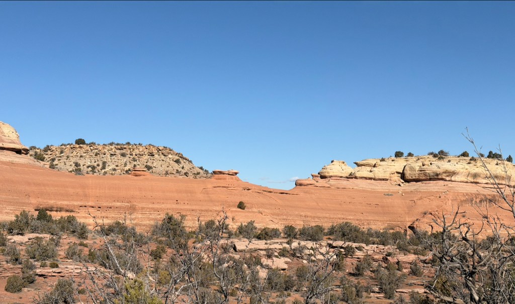
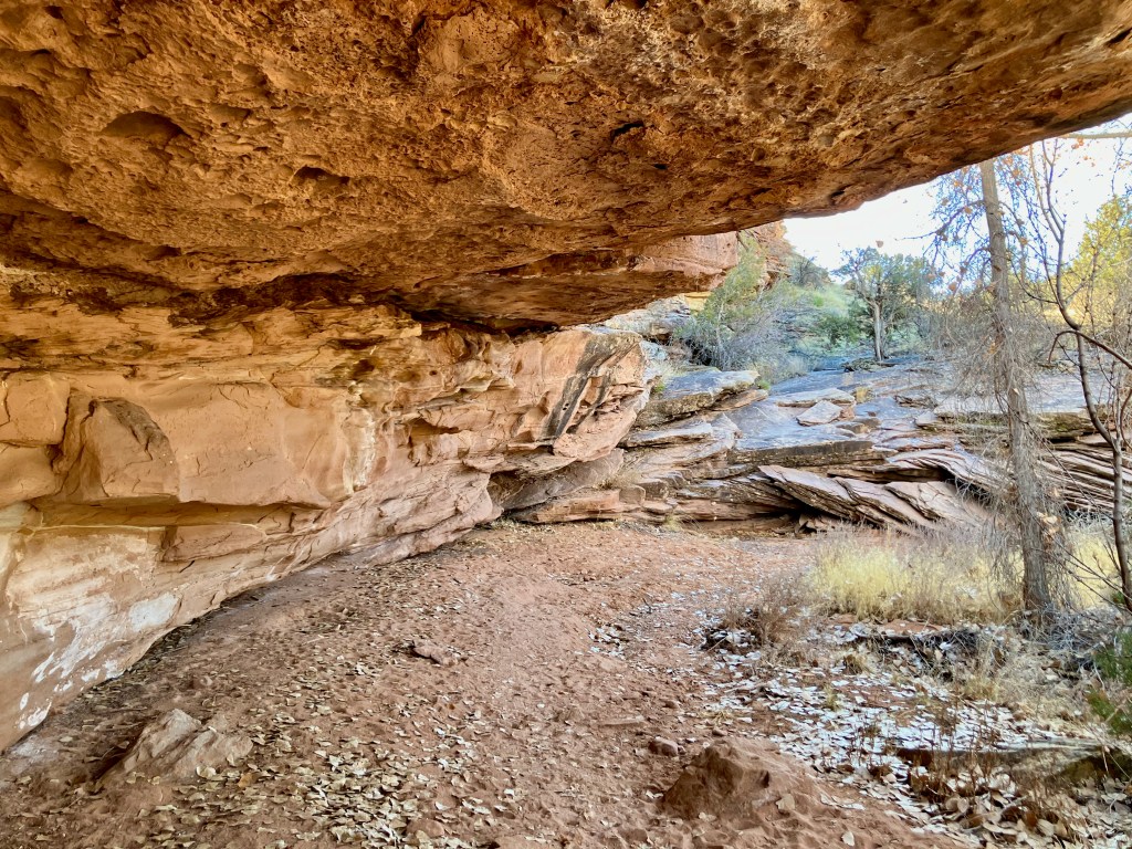
Mica Mine Trail, 2.6 mile 290′ vertical
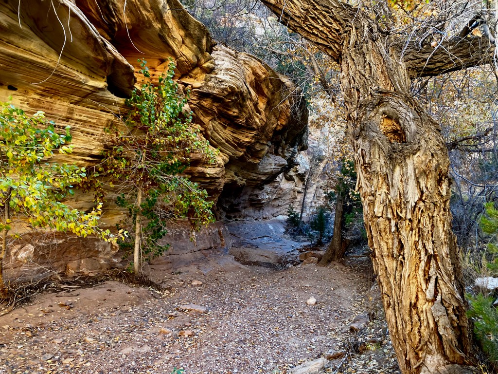
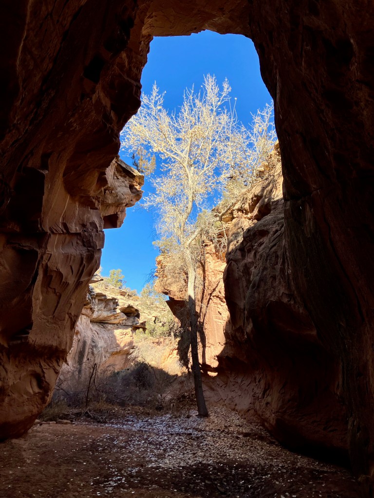
The Mica Mine Trail was a 2.6 mile pleasant surprise for shear beauty. The reviews talk about the incredible rock formations which are totally confirmed. I was snapping photos all the way.

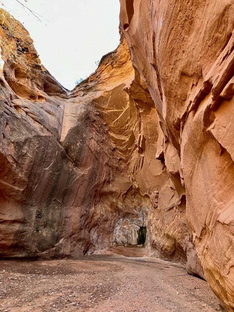
This is an easy hike, however, there are some high stepping in the beginning. You are basically hiking in a small stream canyon with very interesting rock formations, but what impressed me the most were colors & striations of the rock.
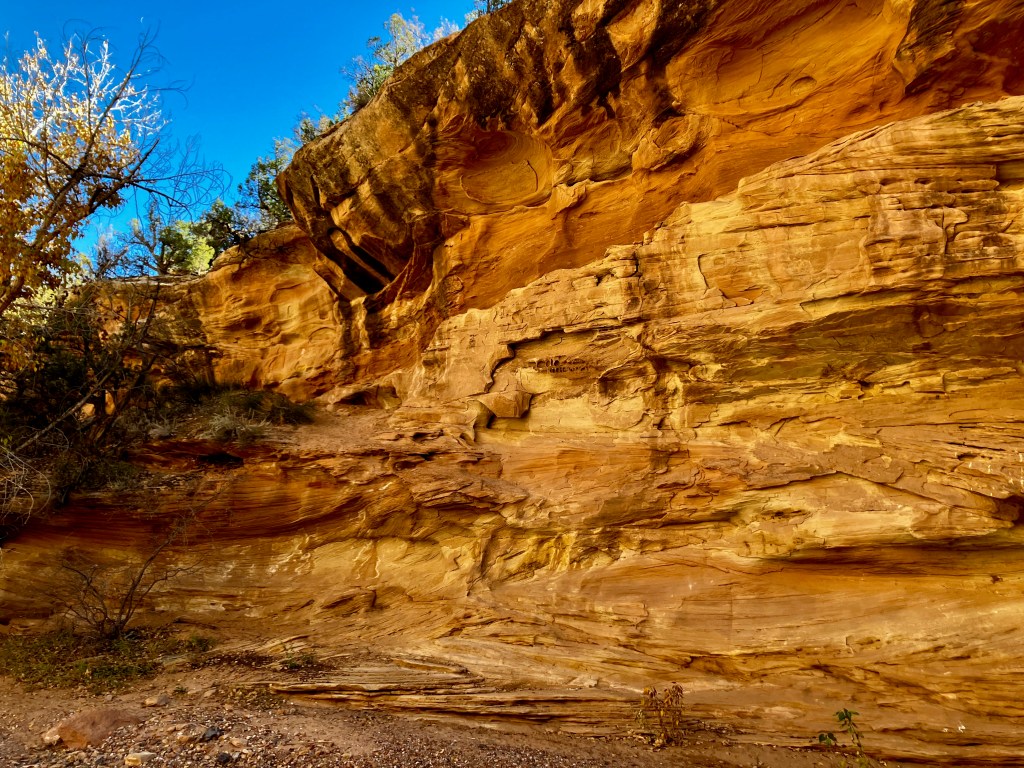
Of course the canyon rock formations grab your attention.
The added treat for this hike is the investigation of the old mica and quartz mine.

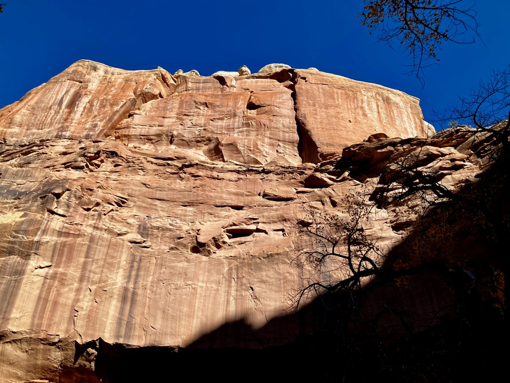
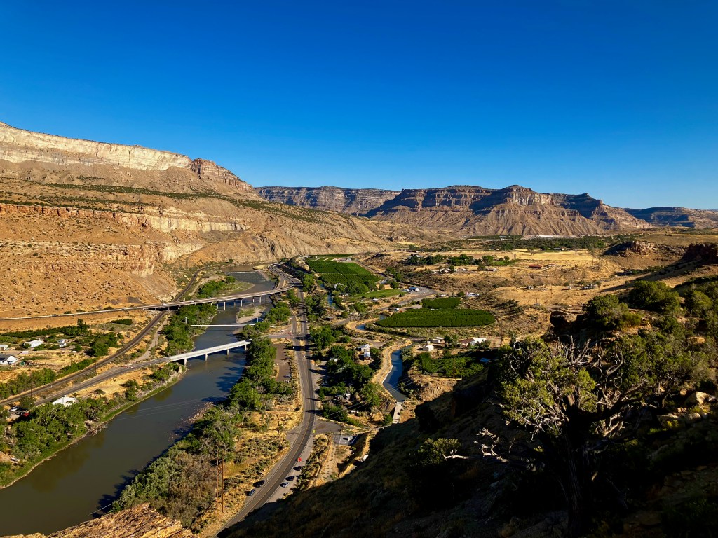
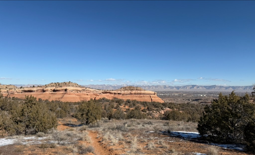
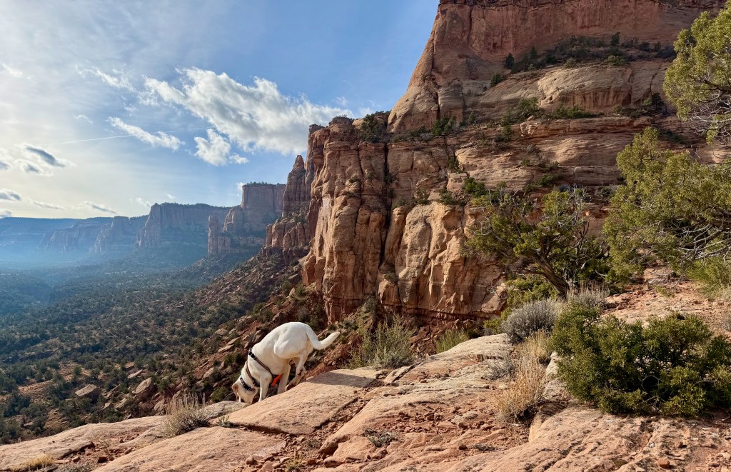
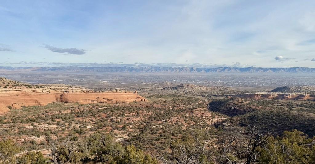
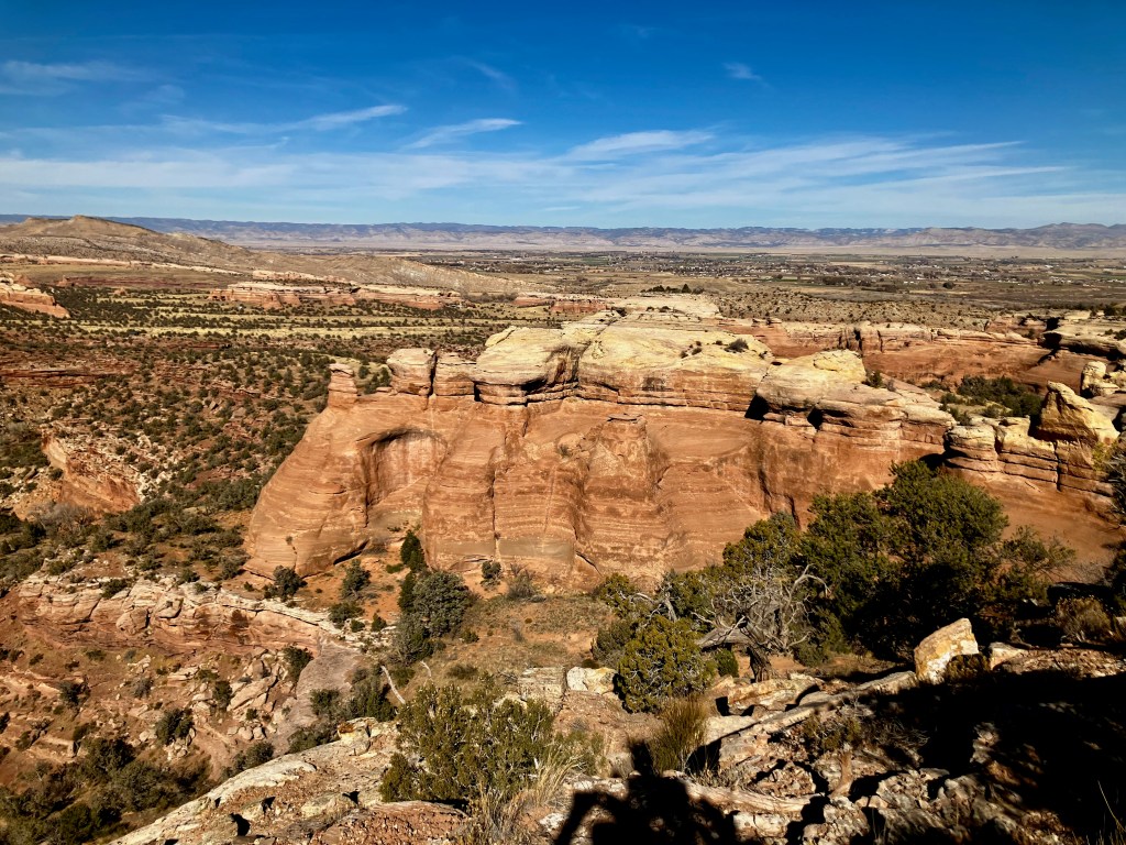
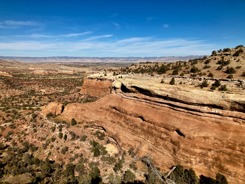
Palisade Rim Trail, 3.3 miles 616′ vertical
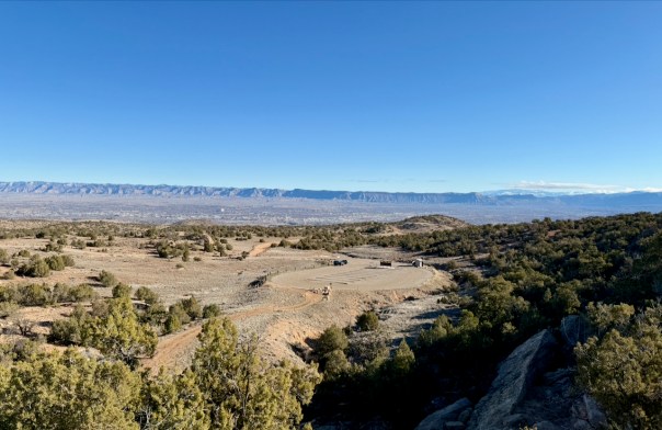
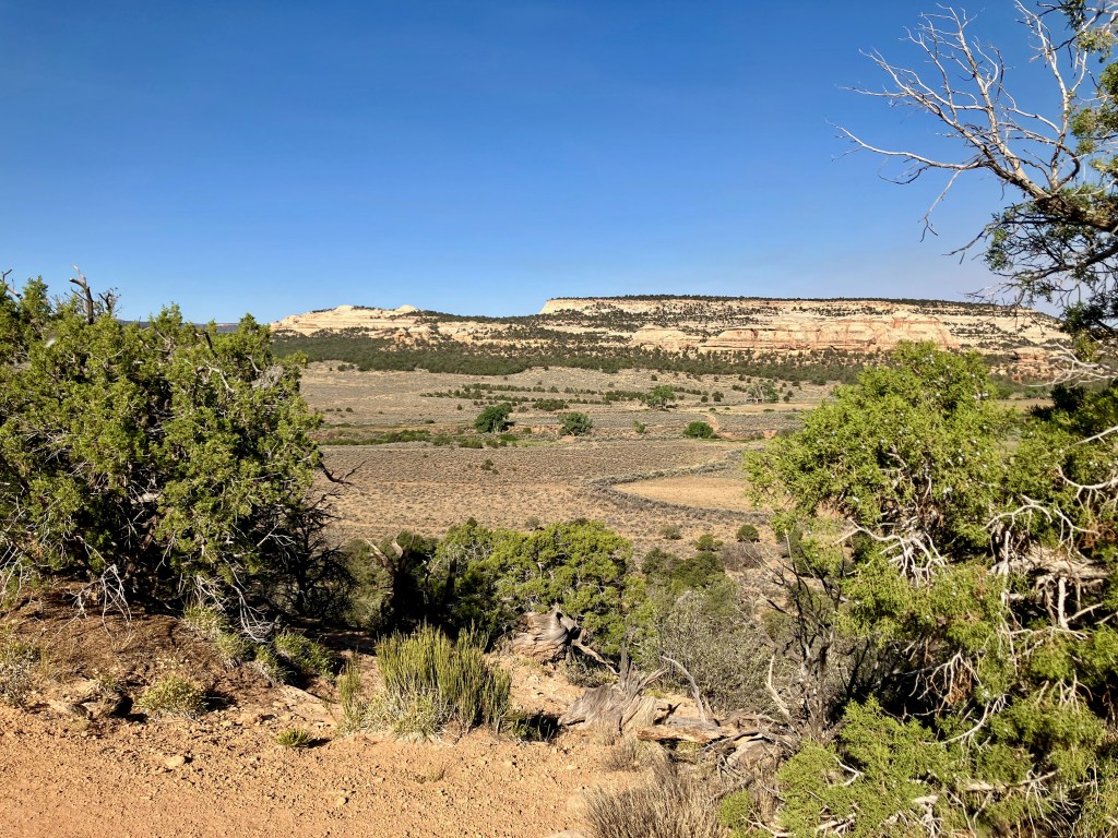
The Palisade Rim Trail gave me a different view of the valley and increased the physical effort to 3+ miles and 600+ vertical. This trail is located on the East end of Palisade up against the canyon wall created by the Colorado River. The distance and vertical were double that of my first hike but just right to create some positive pain in my legs. The fabulous views of the Grand Valley looking west confirmed for me how lucky I was to be living here. The trail is moderately challenging with a loop portion that highlights the view and the back canyon.
I recently returned to the Palisade Rim Trail to checkout the backside Palisade Plunge Trail.
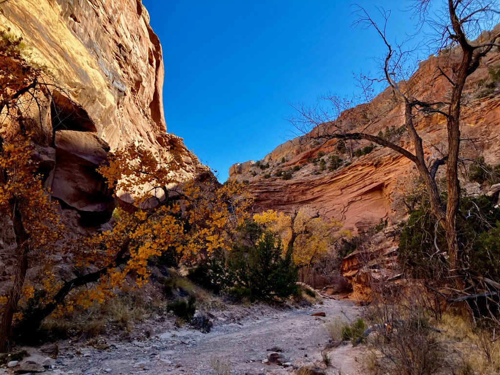
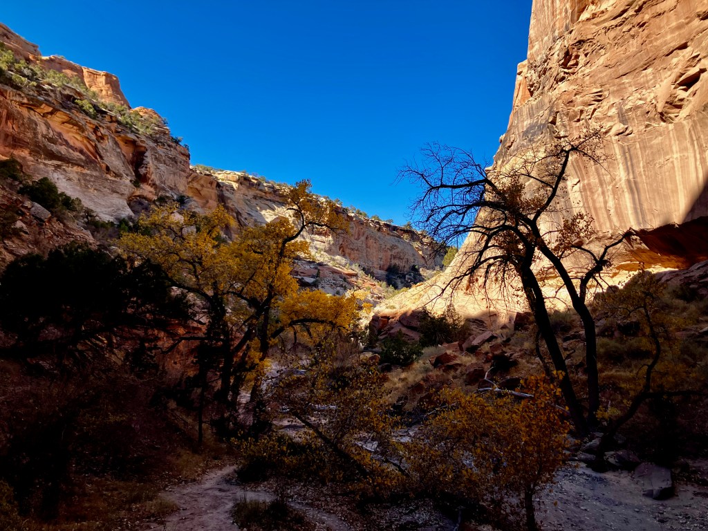
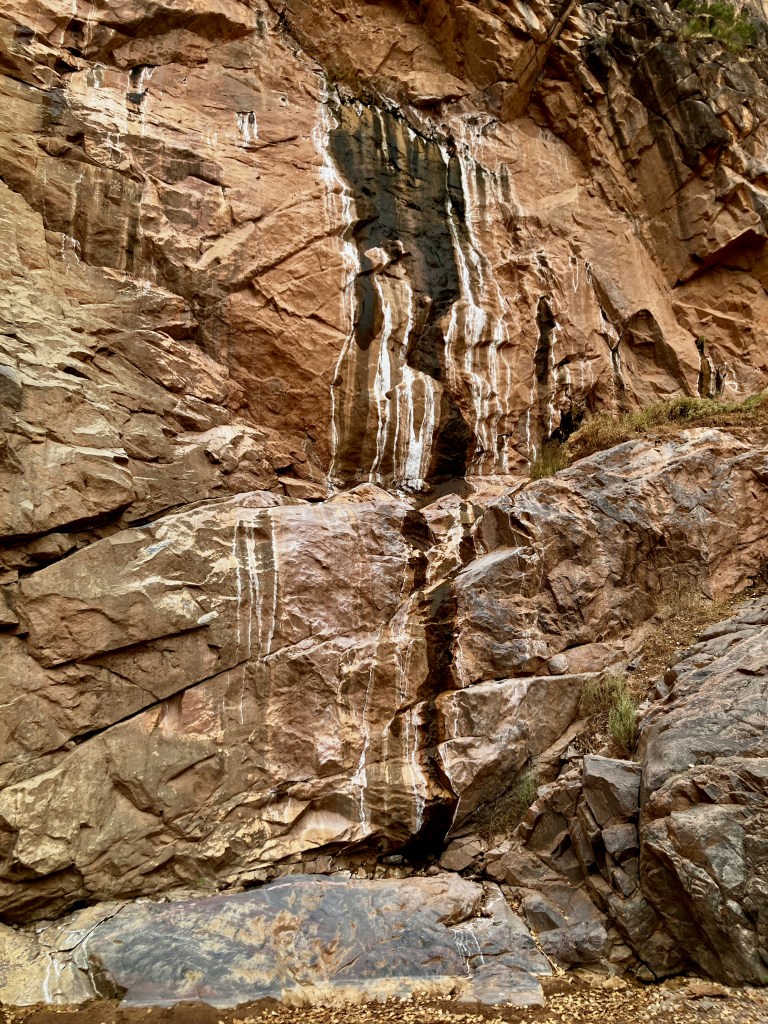
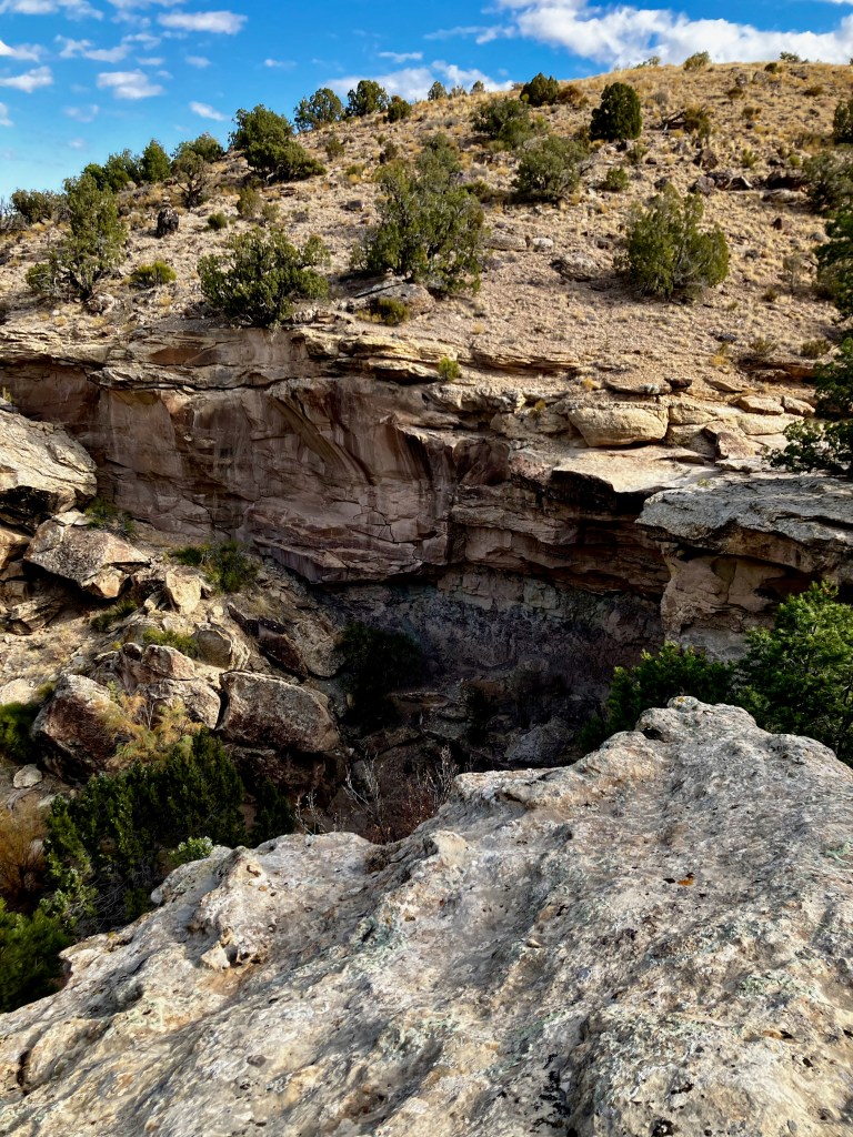
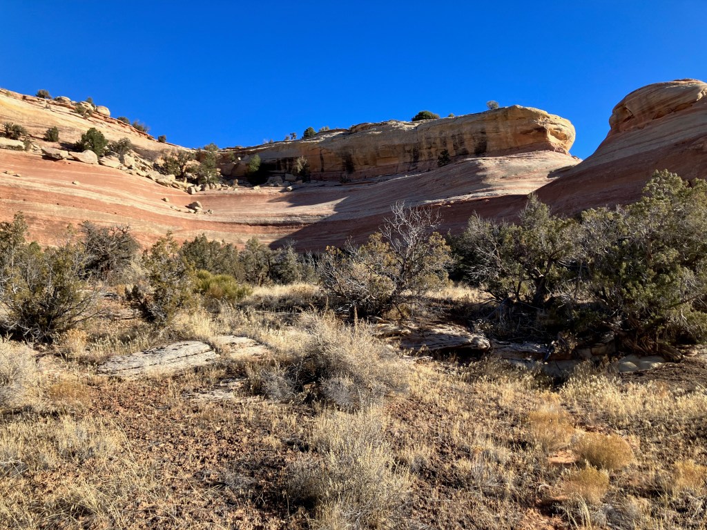
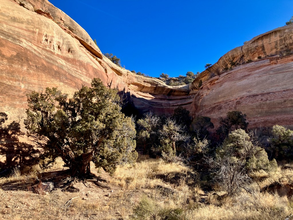
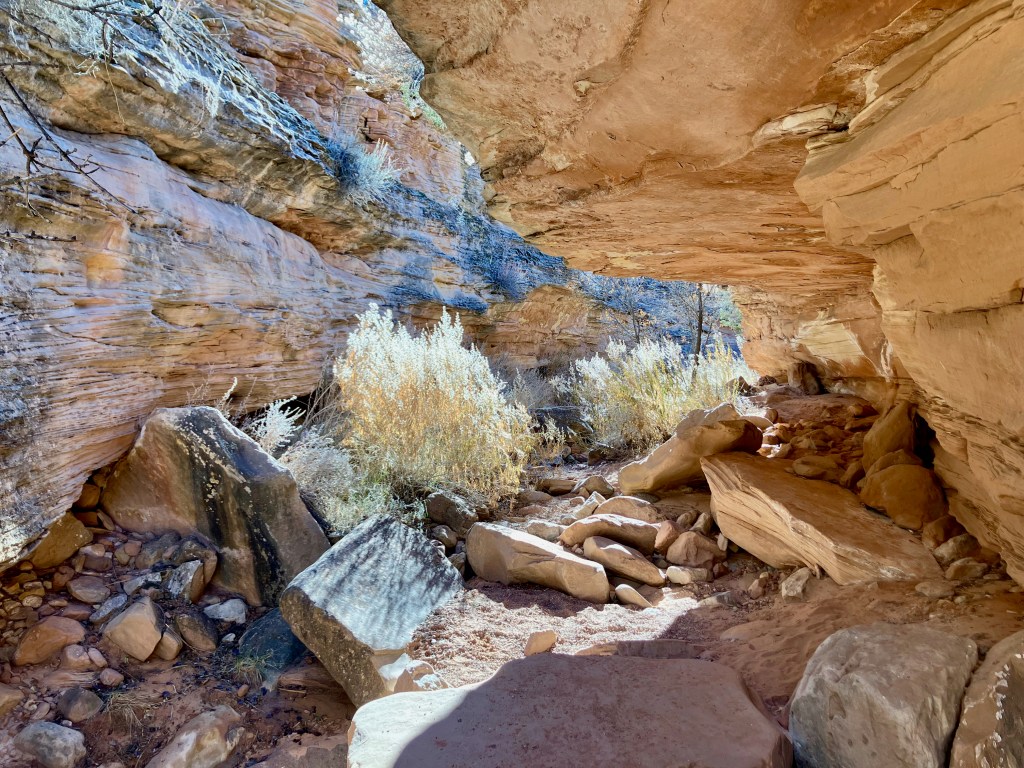
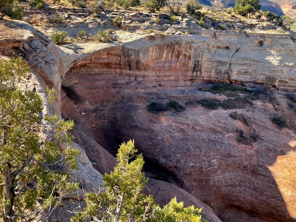
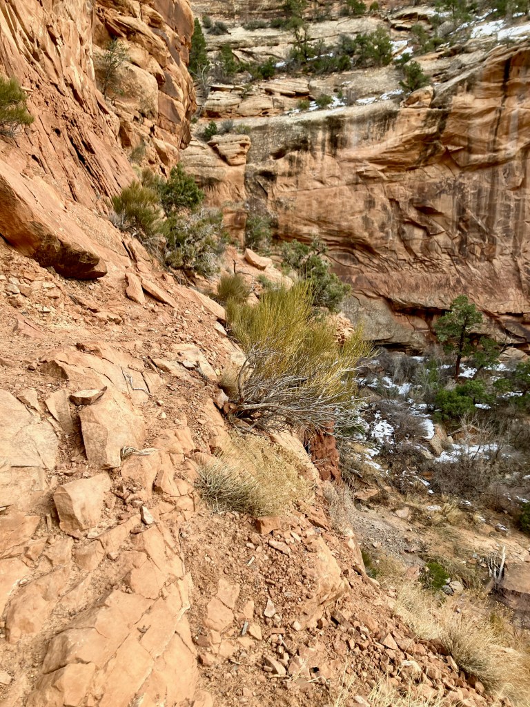
No Thoroughfare Canyon Trail, to 1st waterfall ~ 3 miles
The No Thoroughfare Canyon Trail in the Colorado National Monument was intriguing to me because I wanted to hike the 6 mile version from above, but I needed to hike the popular portion of the trail from the Devils Kitchen Trailhead up to the first 2 waterfalls. I tried to climb above the first waterfall, however, I chickened out so I definitely won’t be doing the longer version of the trail from the upper trailhead. The beginning of the hike offers these amazing fortress views.
You come to a water pool area which is like a small waterfall, the around it is beautiful. You then climb up and over via a fairly nice step climb.
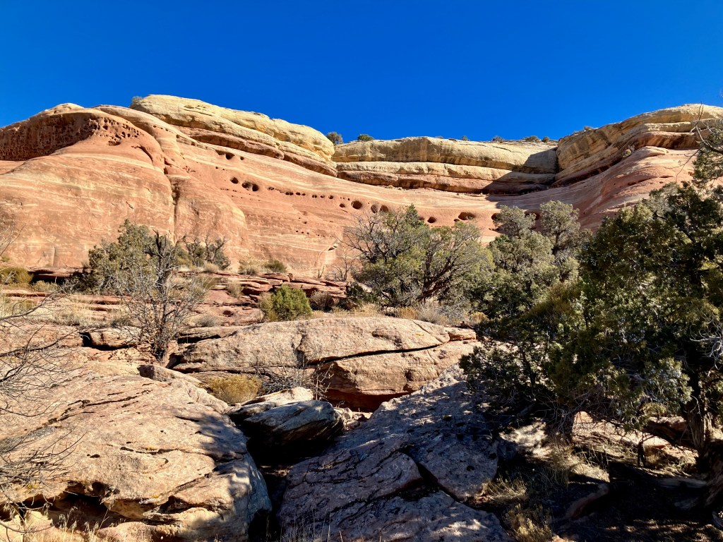
The hike up to the first falls provides more canyon beauty.
The first falls present interesting wall stains from the dry waterfall.
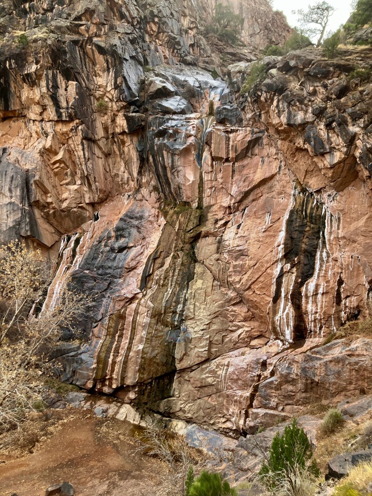
This is where I tried to climb up and over but halfway up I chickened out due to a narrow slanted section that if I slipped up would have been a 50′ fall.
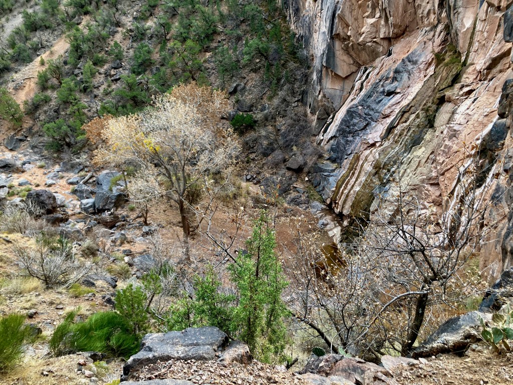
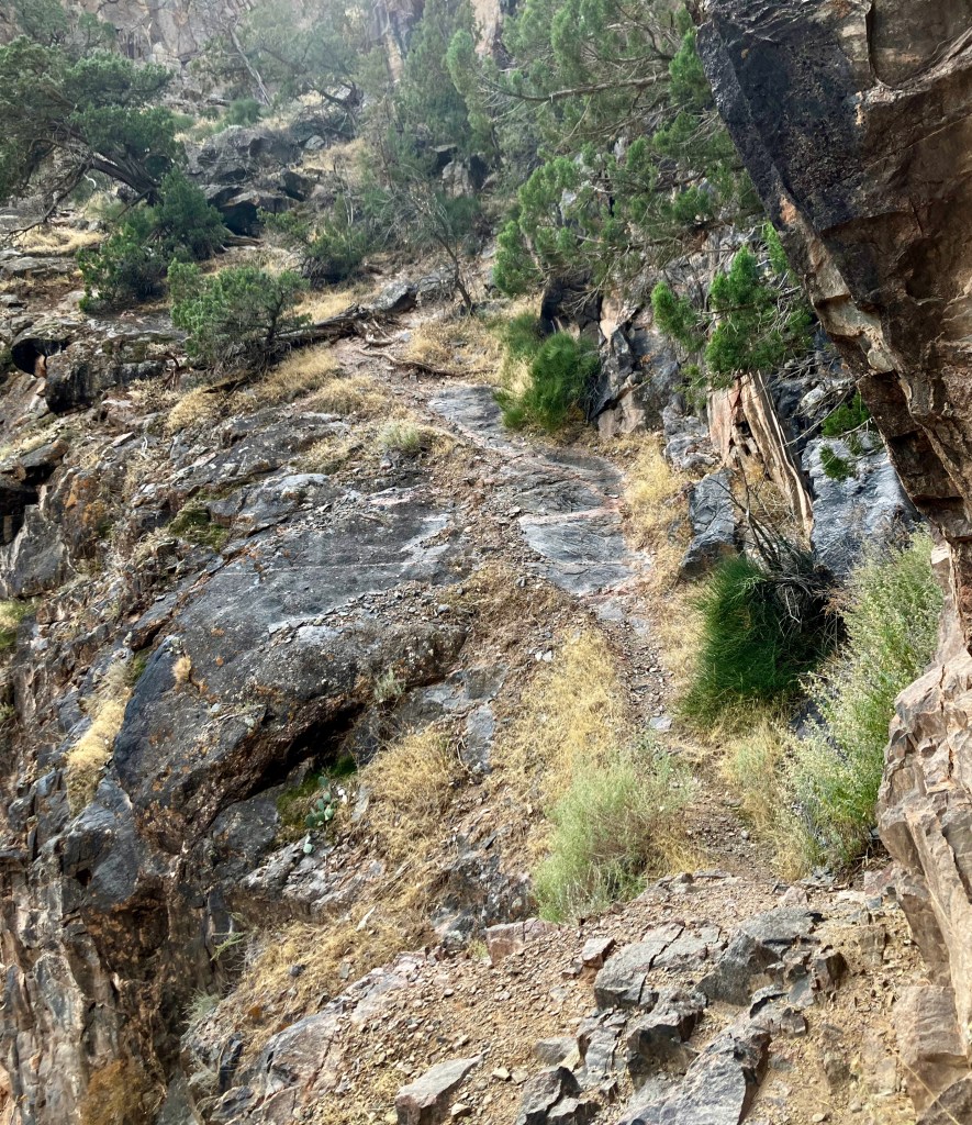
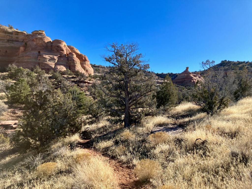
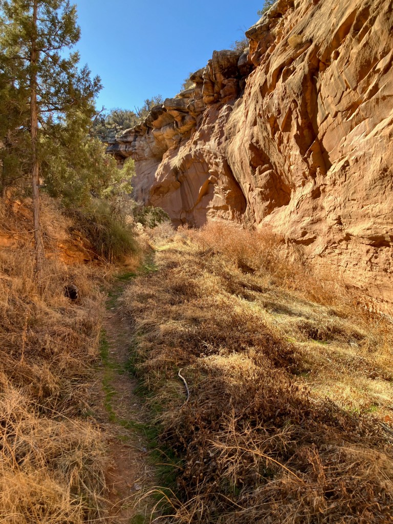
Heading back down to the Trailhead was an easy downhill trek.
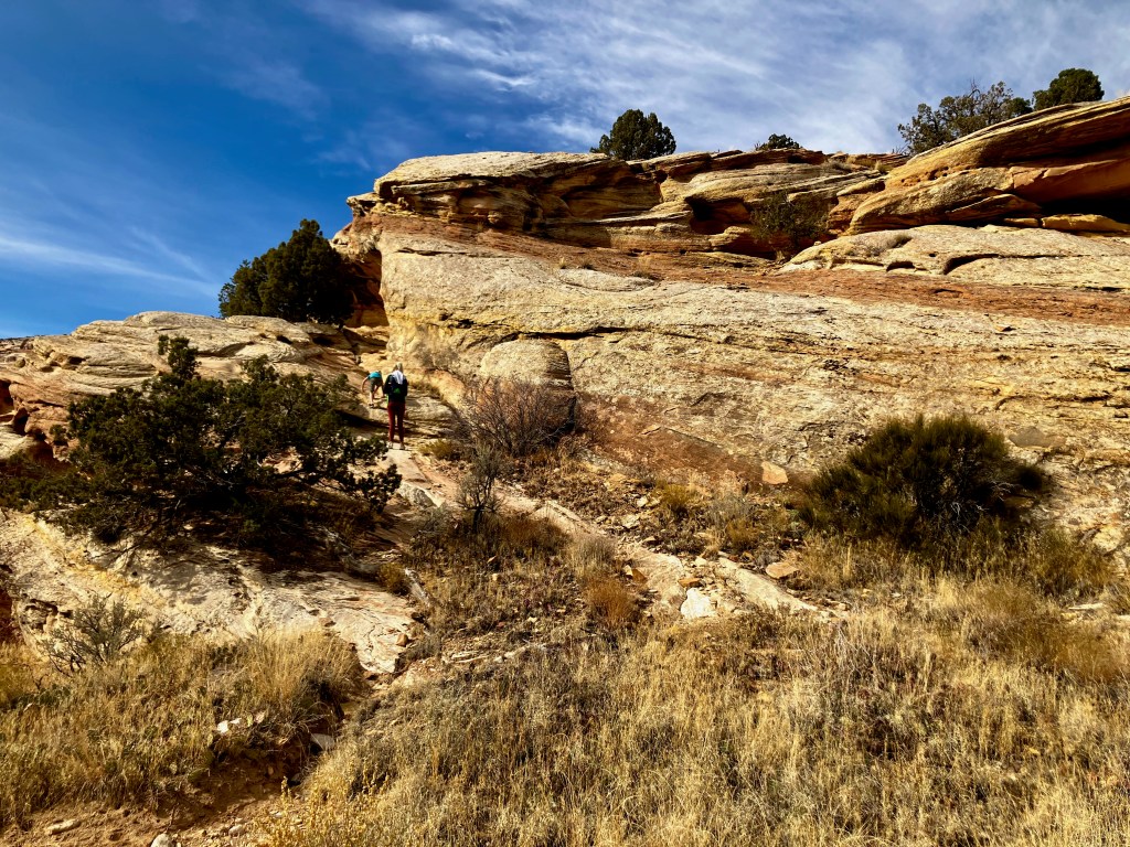
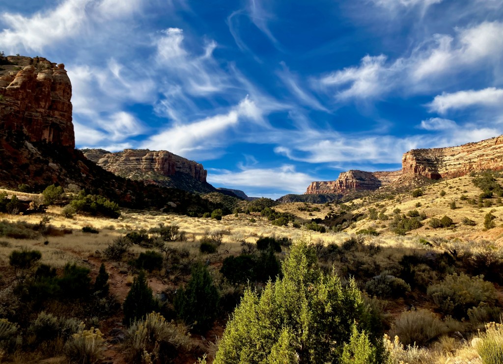
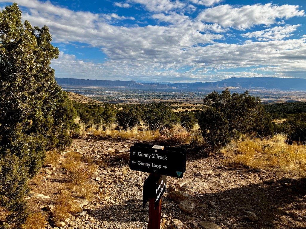
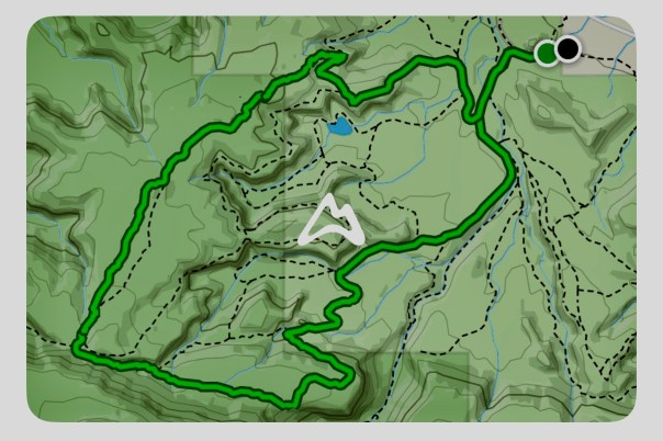
Gunny Loop/Connector, 4 mile 480′ vertical

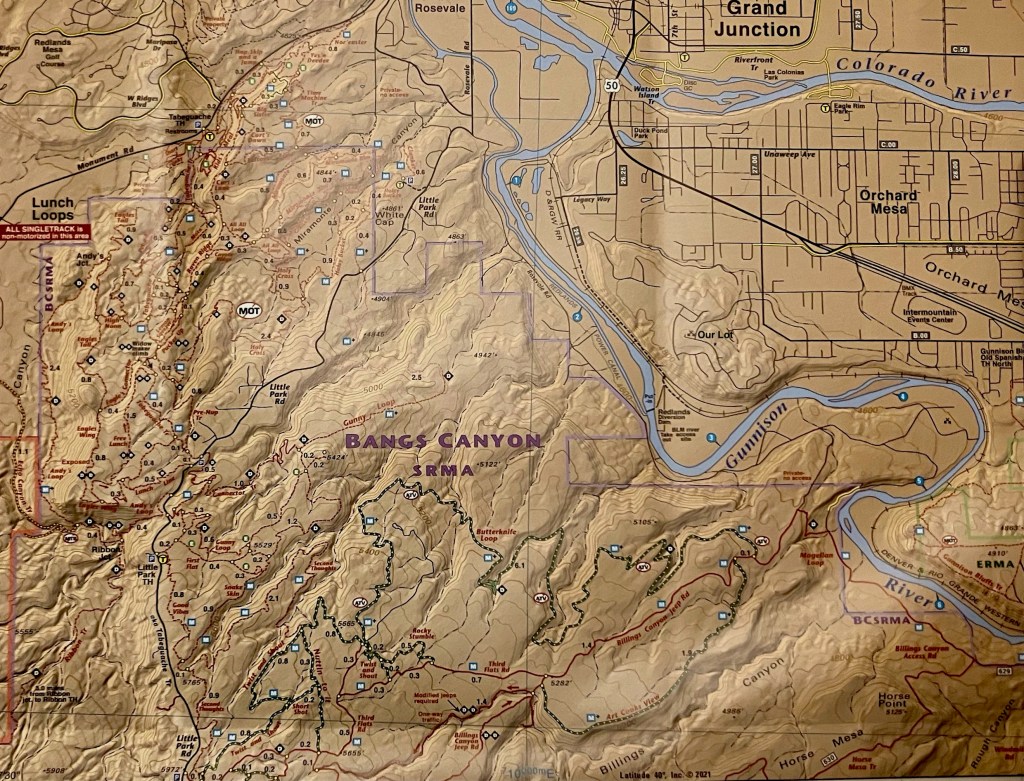
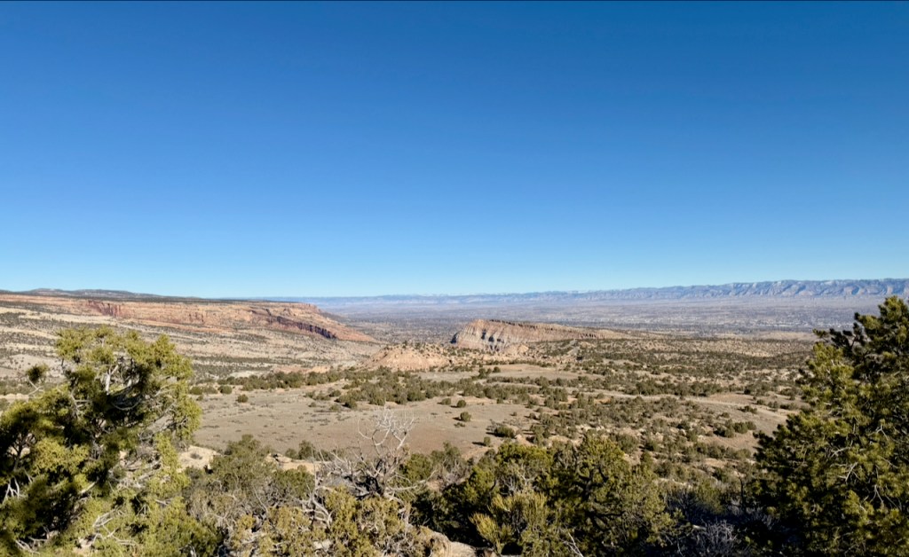
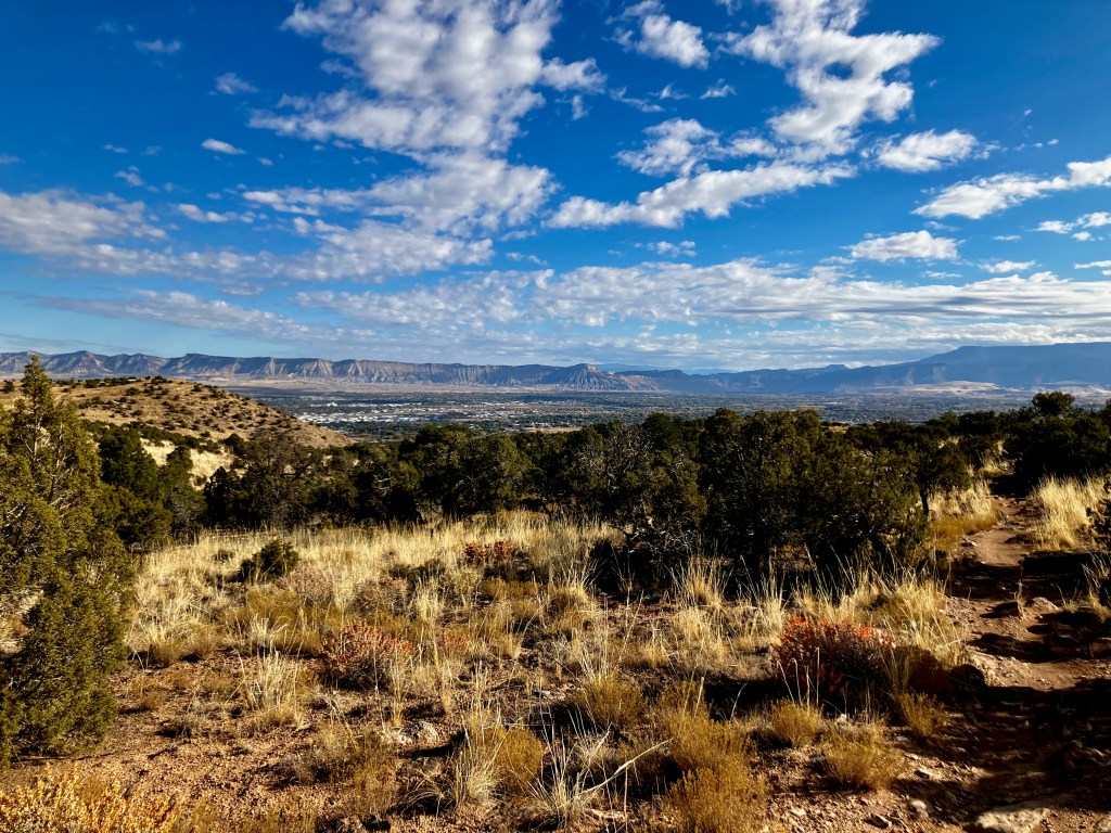
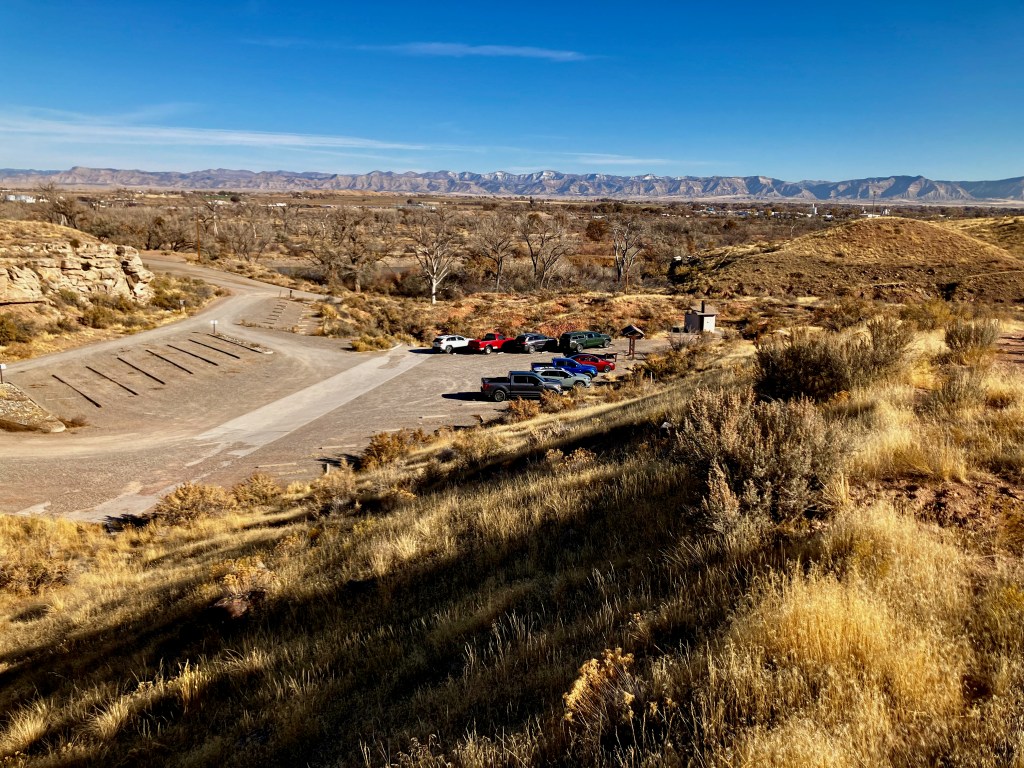
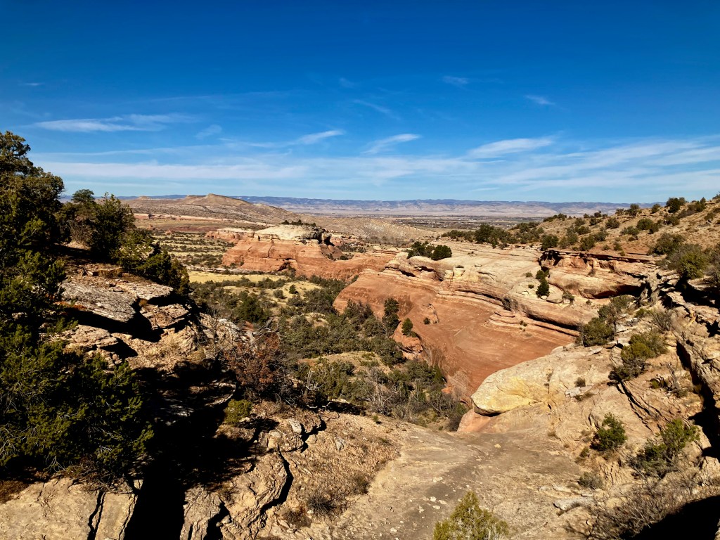
The Gunny Loop combined with the Gunny Loop Connector is one of many trail options in the Lunch Loops Trail area of the Bangs Canyon SRMA. This Gunny Loop reference from AllTrails is pretty close to accurate. This map to the right shows my path. I turned this hike into about a 4 mile 480′ vertical loop with a side link up to a great lookout at 5424′.
This hike is one of many in the area which are designated for foot or bike traffic. I would definitely classify this route a moderate. The trail hiked clockwise offers excellent signage and is well maintained. The first half of the hike offers numerous excellent views of the Grand Valley.
The second half of the trail back to the trailhead provides access to small interesting canyon undulations with views to the South and West.
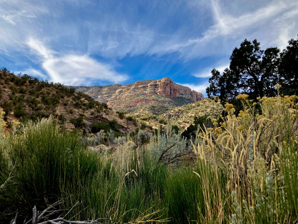
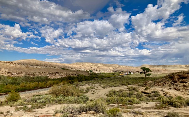
Gunnison Bluffs, 4.3 miles 305 vertical
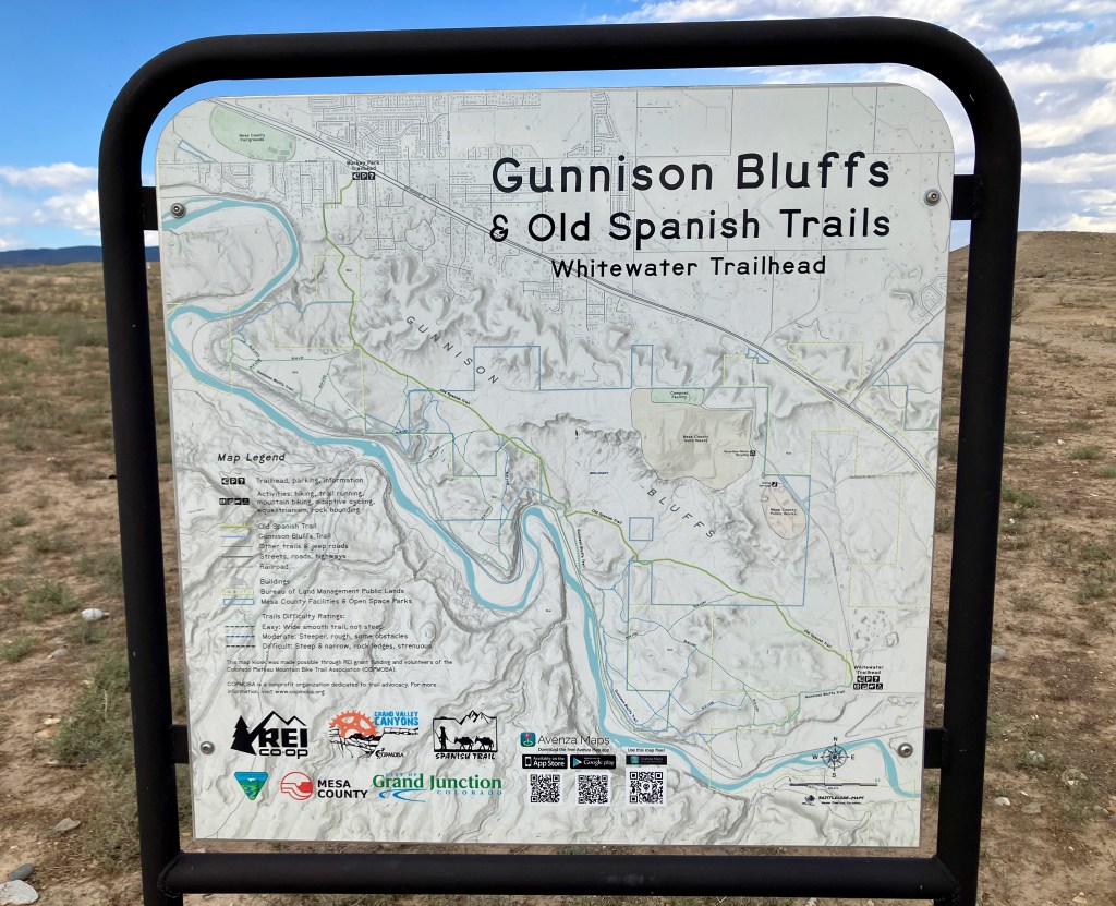
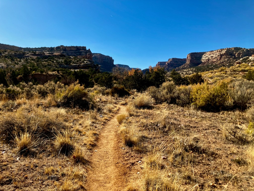
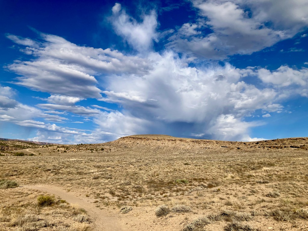
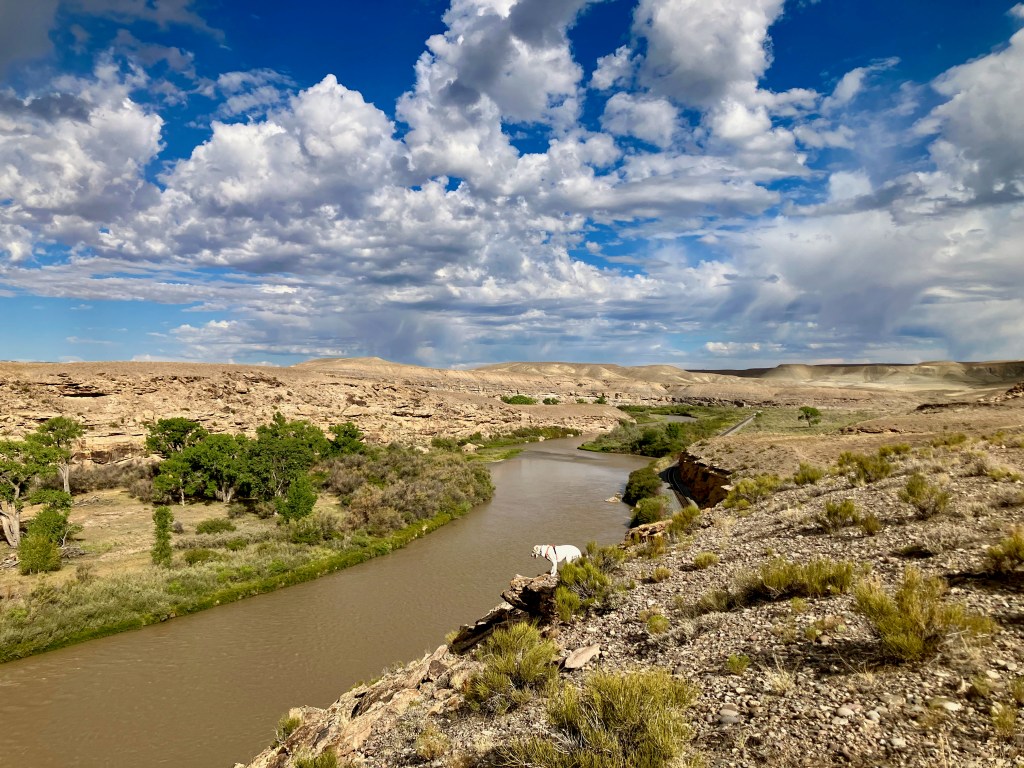
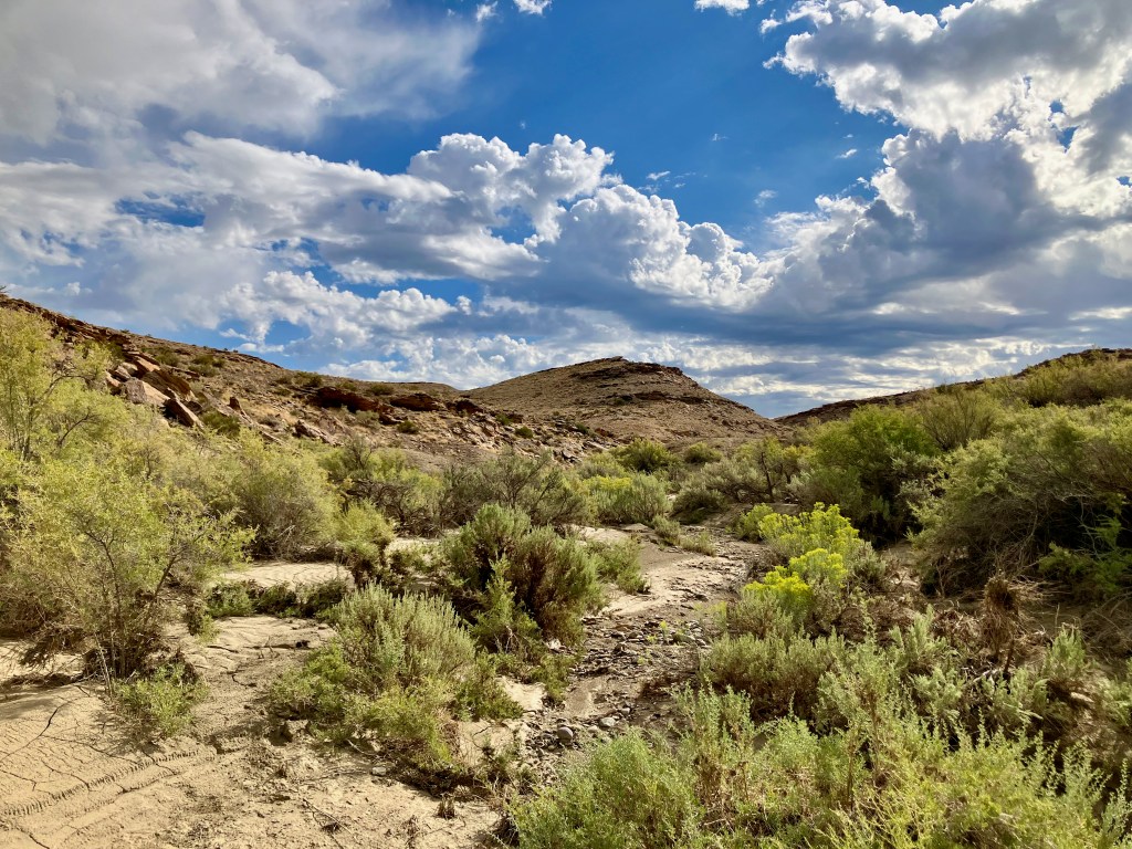
The Gunnison Bluffs Trail is a beautiful and easy hike along the bluffs of the Gunnison river just east of Grand Junction outside of Whitewater. This hike is part of the Old Spanish Trail System and is mostly on private land that . The trail travels along the bluffs above the north side of the Gunnison River. The typical semi arid desert terrain of the area is enhanced by bluffs overlooking the green vegetation along the river corridor. I loved the expansive desolate views which offer their own form of beauty. The views of the Gunnison truly reflect how a river brings life to the desert.
The loop identified in Alltrails may only be 4.3 miles, however, you can create whatever length hike you desire. Definitely some nice options for mountain bikers with side trails.
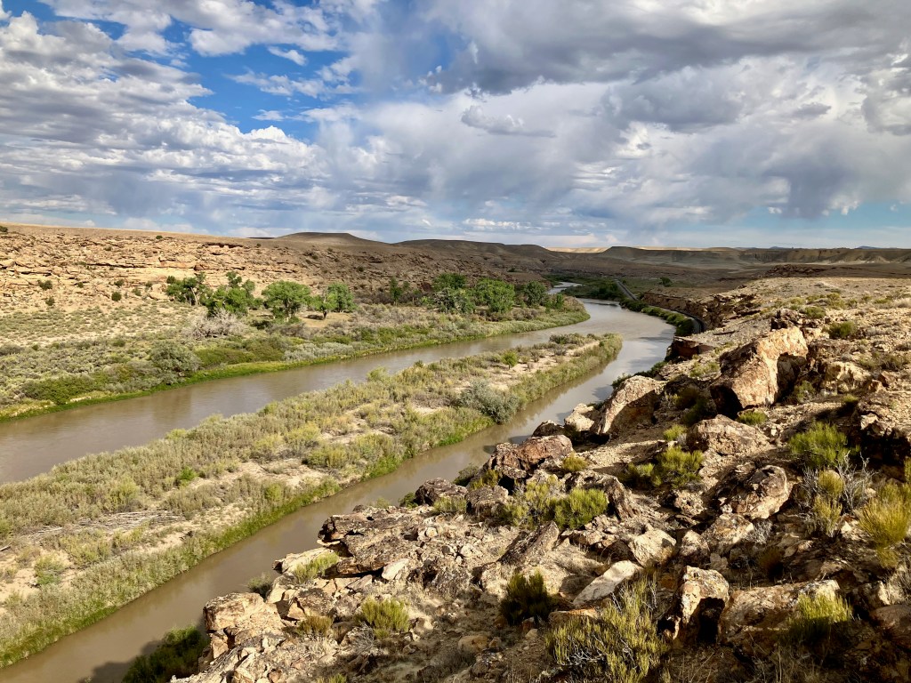
You may also be joined by a train chugging through the little canyon.
This is a great hike to feel the great open space with awesome views of the Gunnison river from the bluffs and the view of the Grand Mesa to the Northeast.
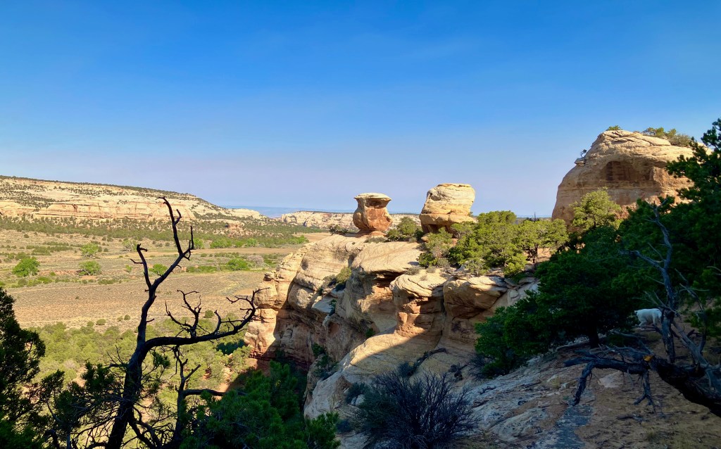
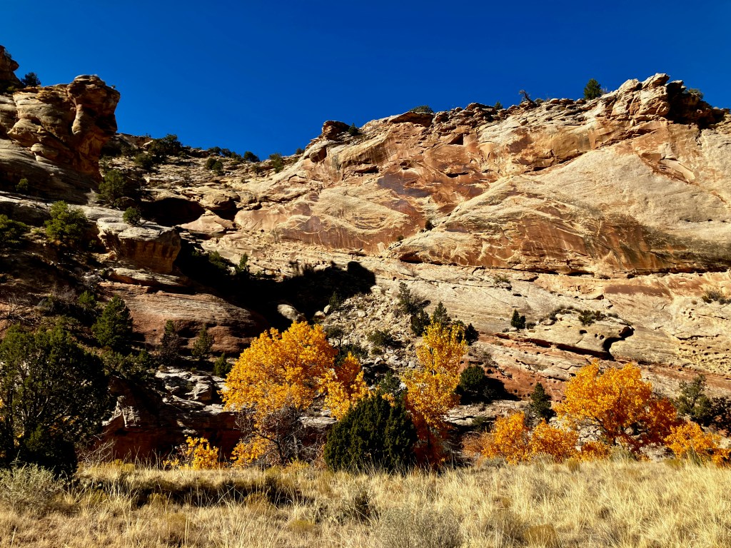
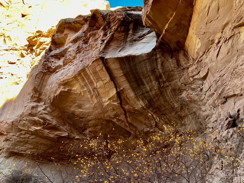
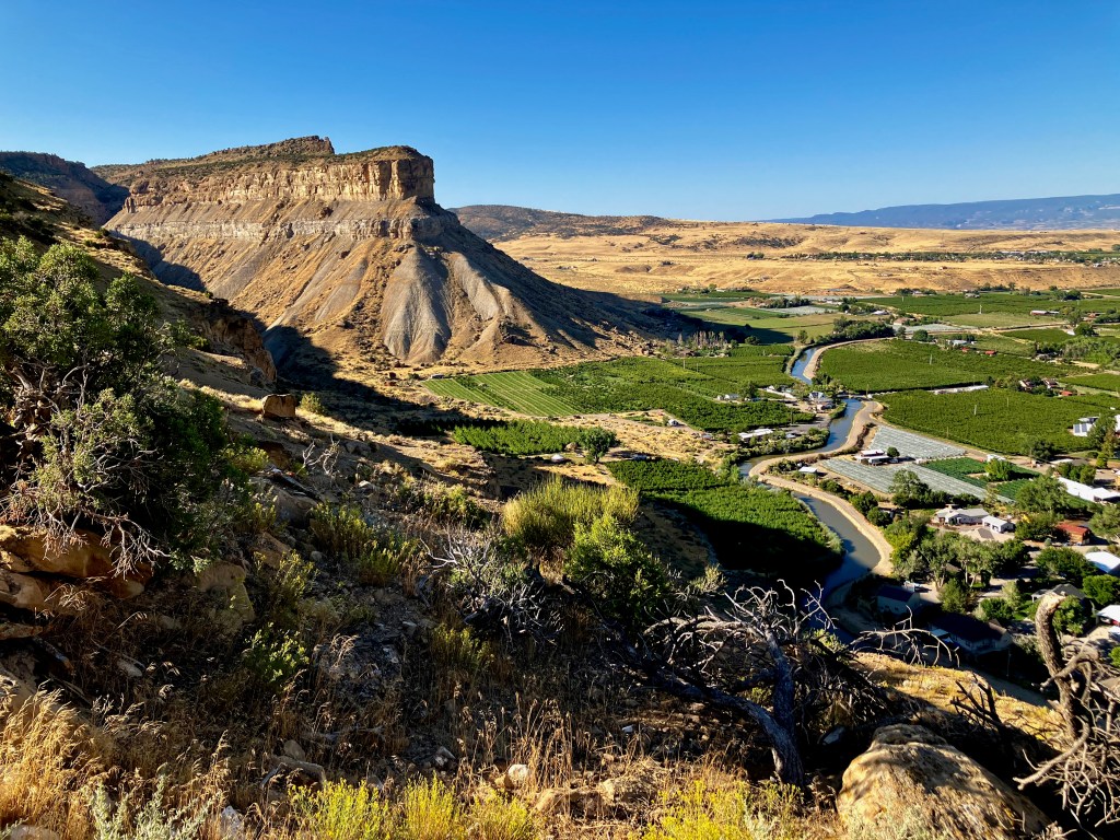
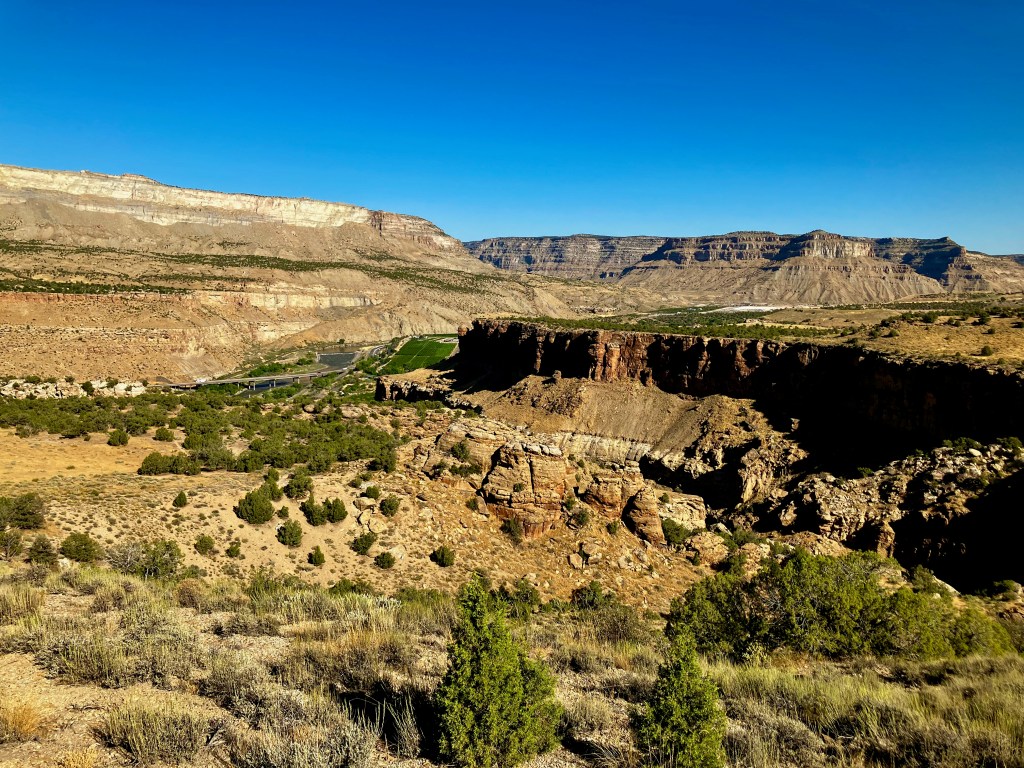
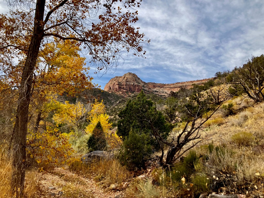
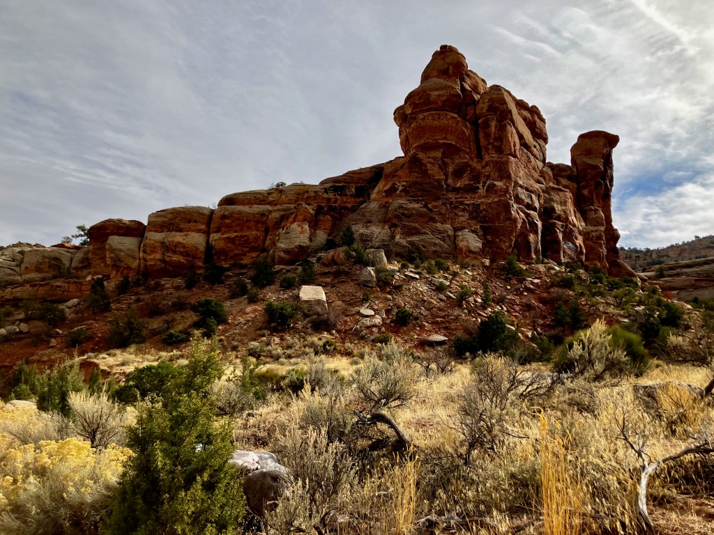
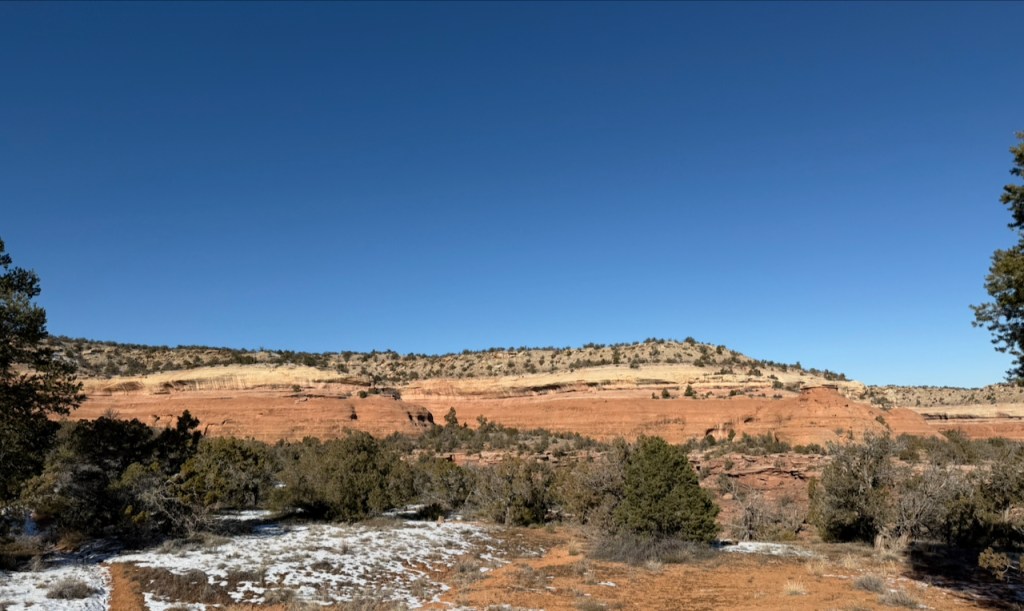
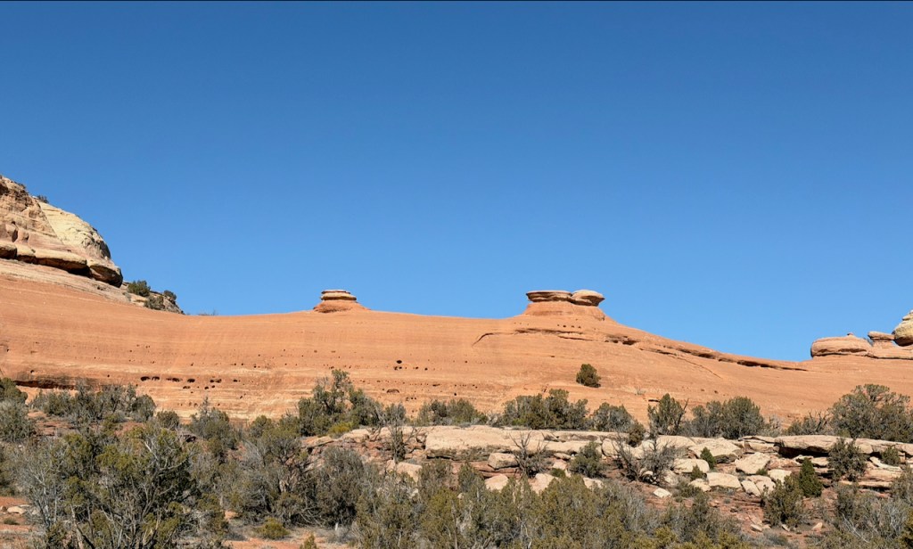
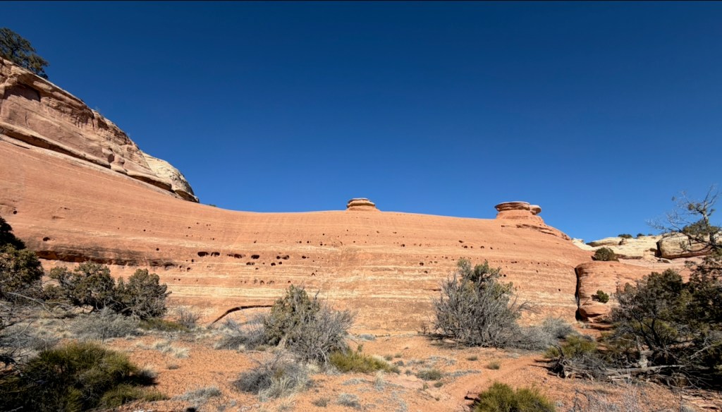
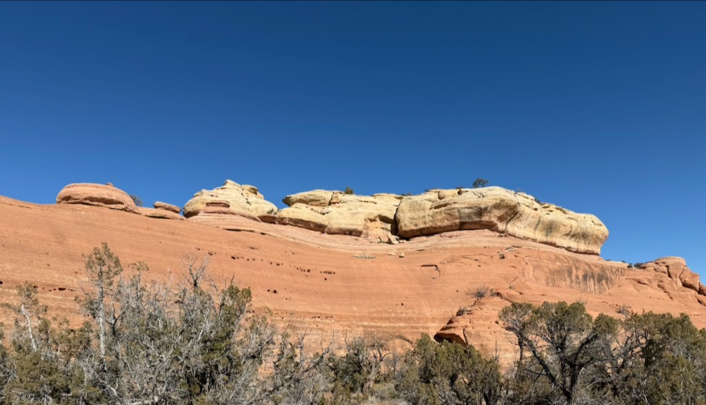
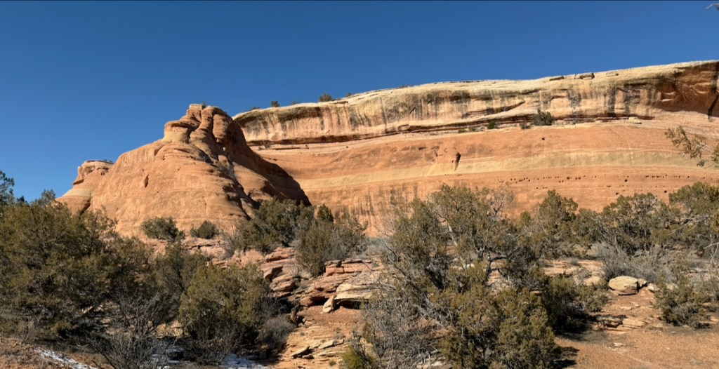
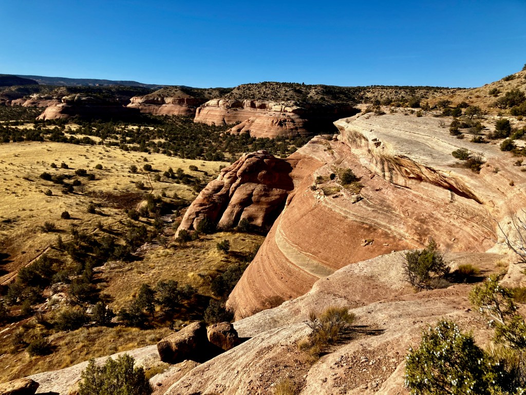
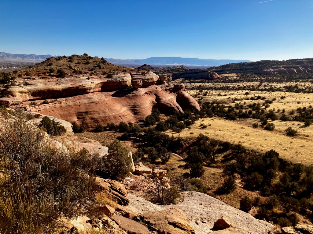
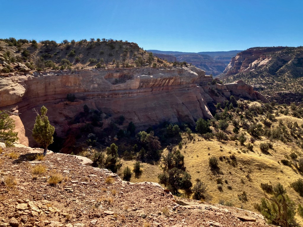
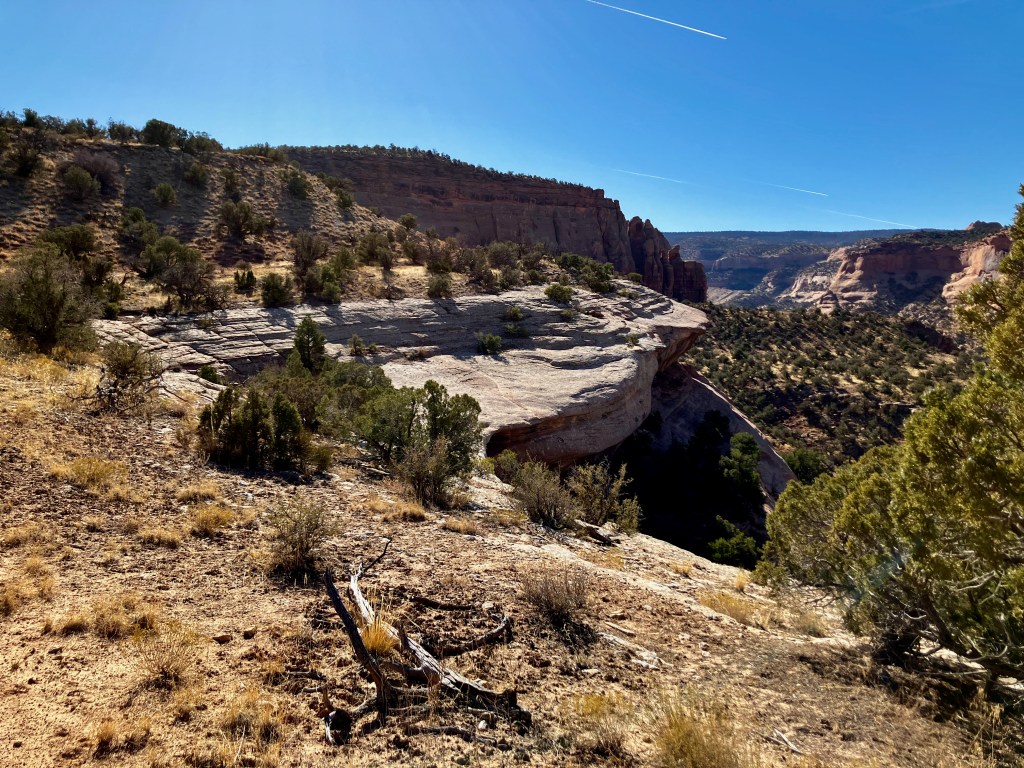
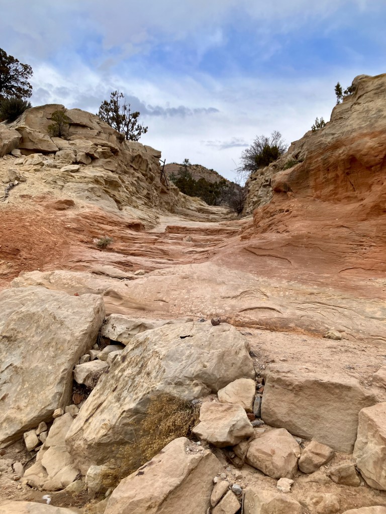
The Flume Canyon Western Loop, 4.5 miles 505′ vertical
The Flume Canyon Western Loop Trail is just west of the Flume Canyon taking you south & west to return under the Pollock Bench. The trail was always worthy of a good hike and the views were excellent from below the Pollock Bench. I parked at the Pollock Bench Trailhead but you could park along the road just before the turn in to the Trailhead. The hike is a gradual climb of about 500 feet to the loop return point.
The trail is an continuous presentation of rock ridges and formations.
The return part of the loop takes you over to below the Pollock Bench. I did notice more runners on this trail probably because of the consistency of the dirt trail.
Heading back.
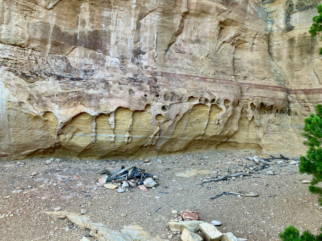
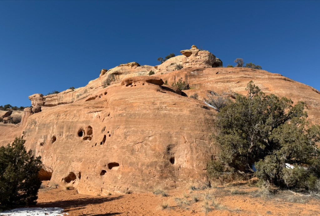
There are so many small holes in the sandstone rock walls that do serve as nesting sites for falcons, wrens and swallows. And then there are some unique rock art forms created by millions of years of weather..
Finishing out the hike takes you around the base of the bench with panoramic views.
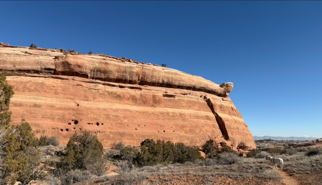
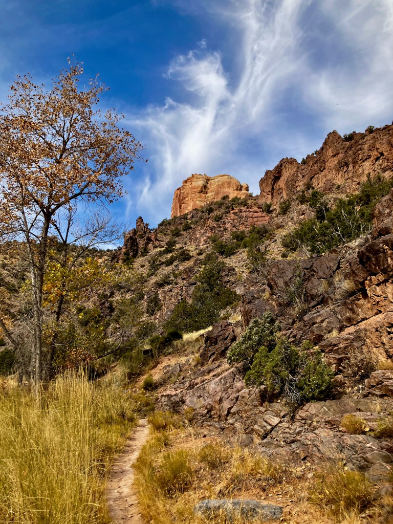
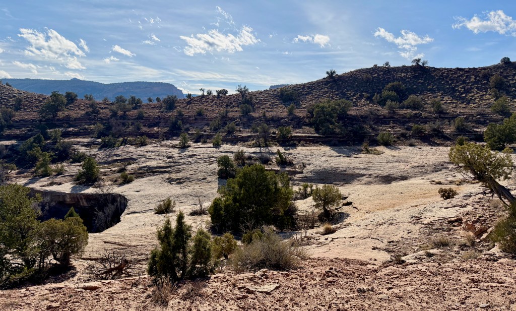
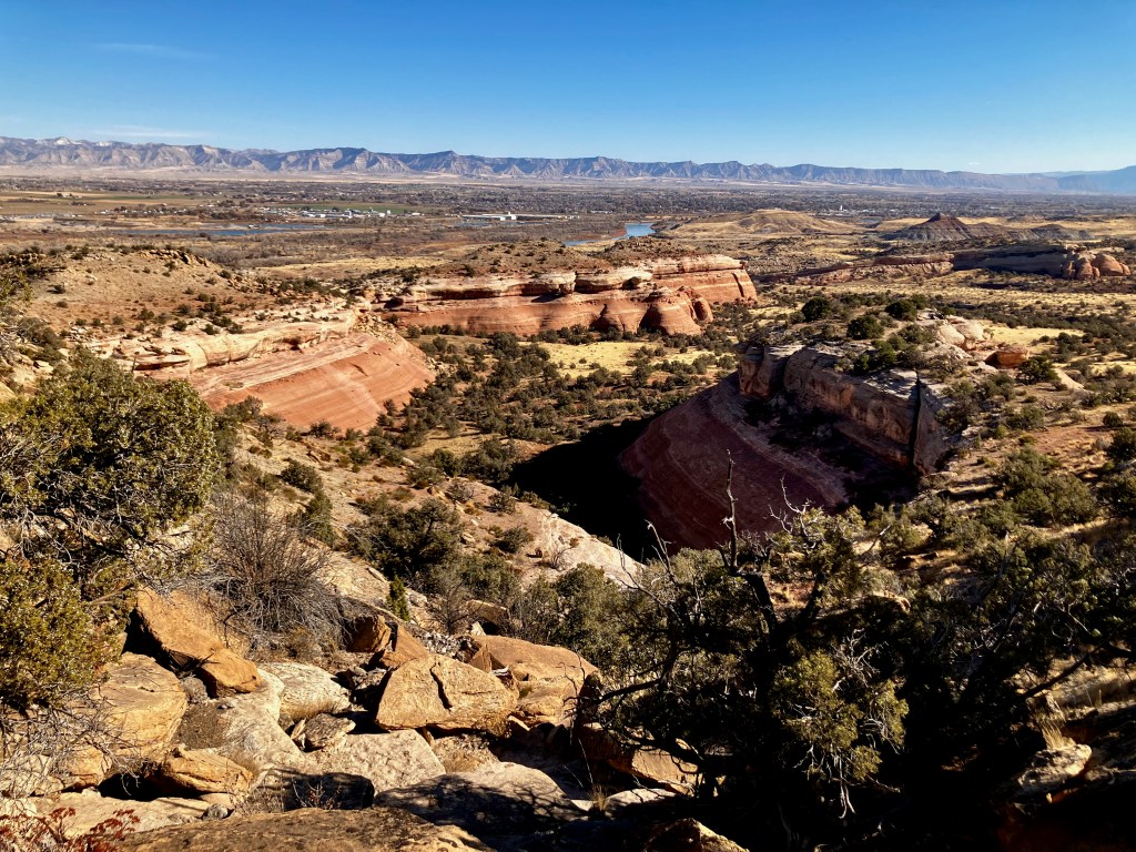
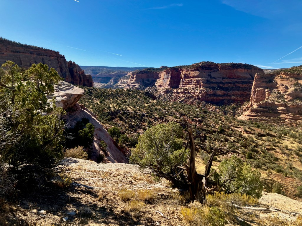
The Flume Canyon, 5 miles 500′ vertical
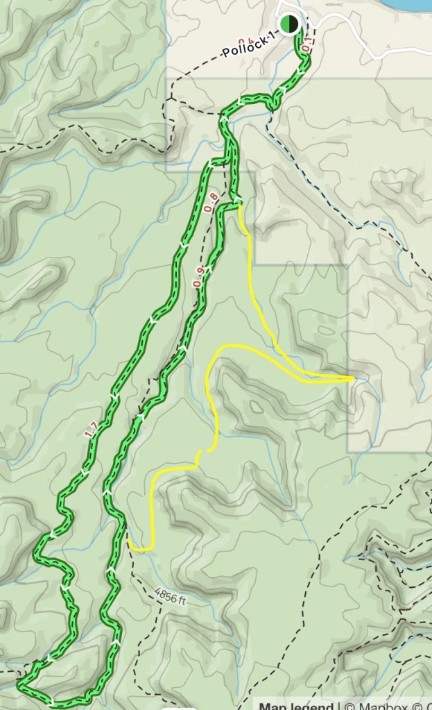
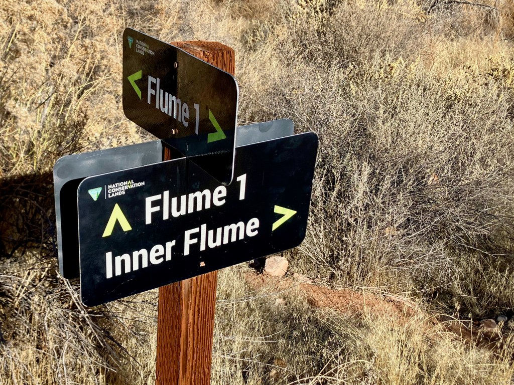
The Flume Canyon Trail in the McInnis Canyons National Conservation Area does not get high marks for excitement but that is only based on the trail documented on Alltrails. I would rank the area as exceptional using the actual Flume Canyon Trail as a baseline. You definitely want to do the actual Flume Canyon referred to as the Inner Flume. Plus there is reference to the Flume 1 Trail which confuses what should be the best path. I came to a fork in the trail which I assumed was the Flume Canyon Trail because it took me into a small canyon to the east for the actual trail. The yellow line shows my exploration. I knew I was off the main trail but used a path that took me to a small box canyon. I did end up hiking about 5 miles.

Then it was easy to backtrack a bit and find a real trail that took me to the Devils 1 Trail which merged with the east side of the Flume Trail.
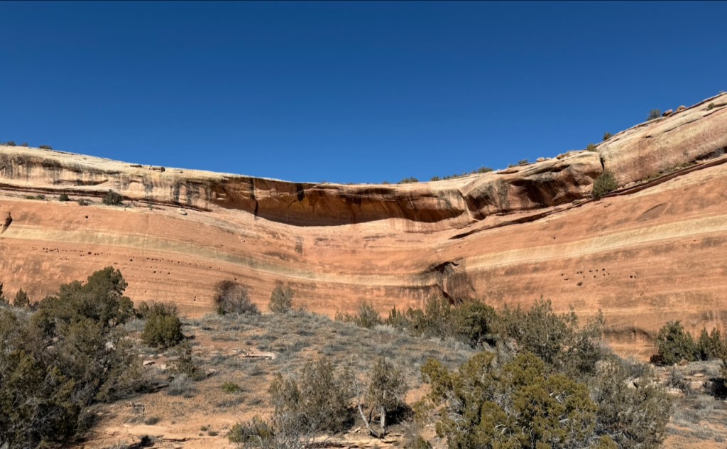
Shortly after rejoining the Flume Trail I came across the end of the canyon from above.

As I travelled back toward the trailhead on the Flume Trail I realized that this canyon was the true Flume Canyon and it looked like it needed to be explored. After about a mile I could tell that the canyon was shrinking enough to allow me to find a trail down into it. If I had stayed on the Flume Trail I would have seen the sign designating the Inner Flume which is basically what I was able to access.
Overall this Flume Canyon area was awesome and definitely calls me back to properly identify a new route. BTW, I met a couple my age who had set out to hike the Devils Canyon Loop but got stuck on the Devils D1 Trail taking them over to Flume. As I was leaving I found this out after I offered them a ride back to the Devils Canyon Trailhead.
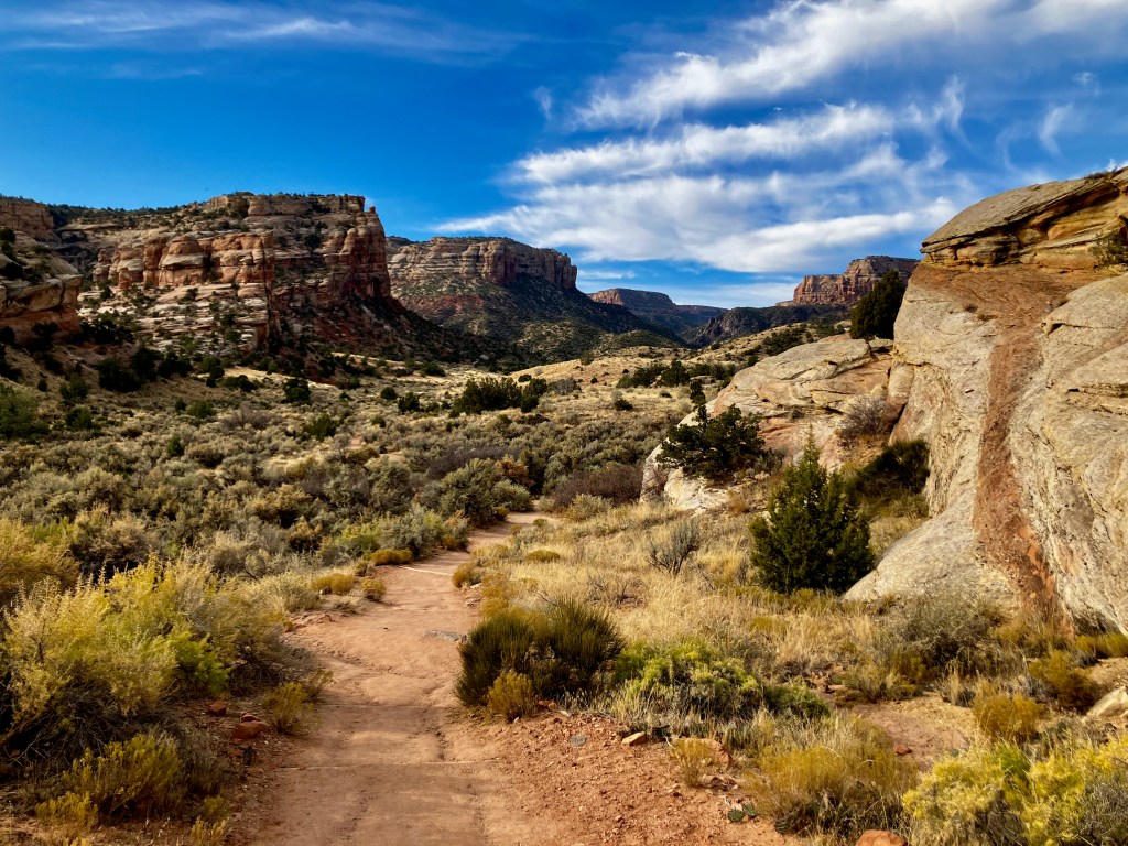
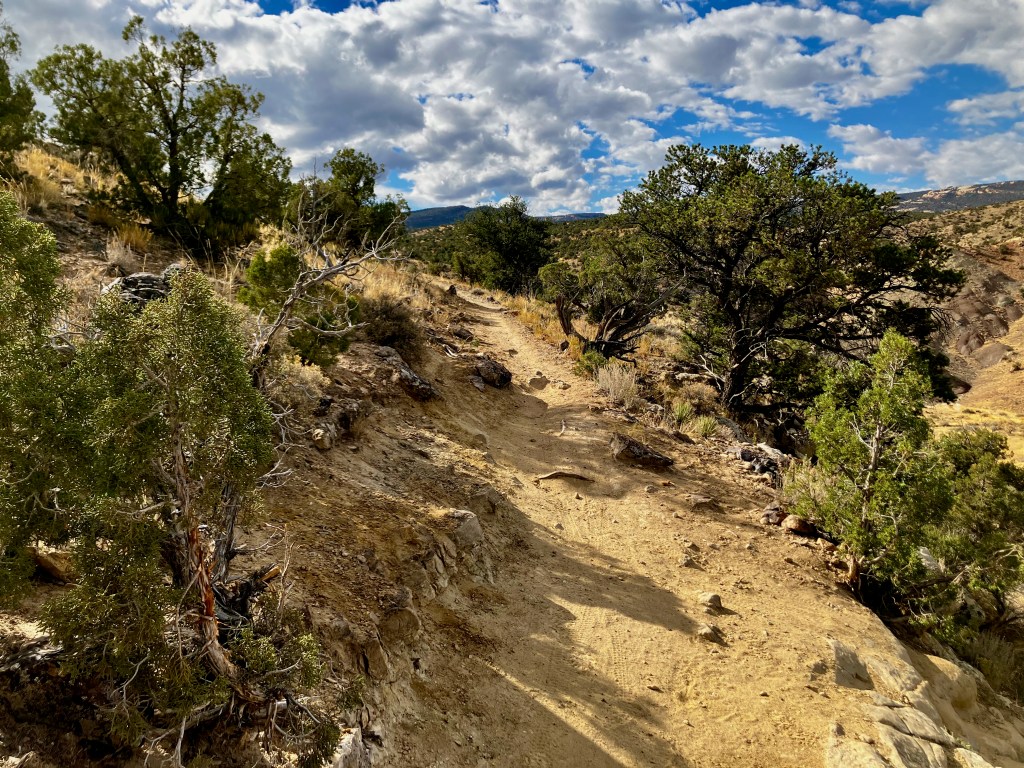
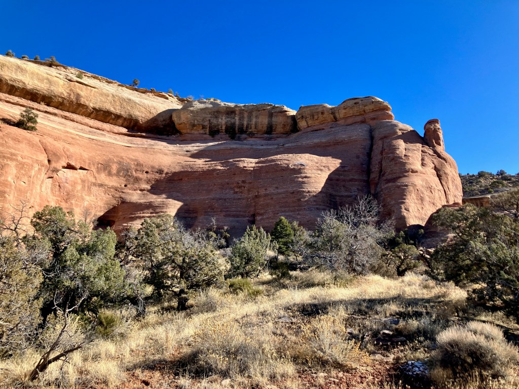
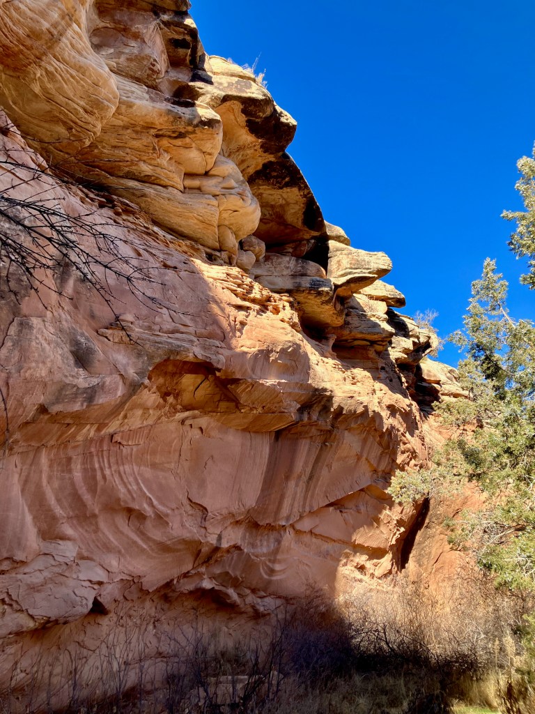
Second Thoughts Trail and Twist-N-Shout Trail Loop
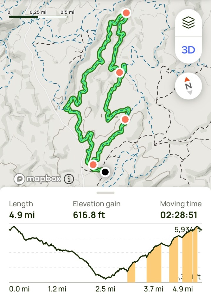
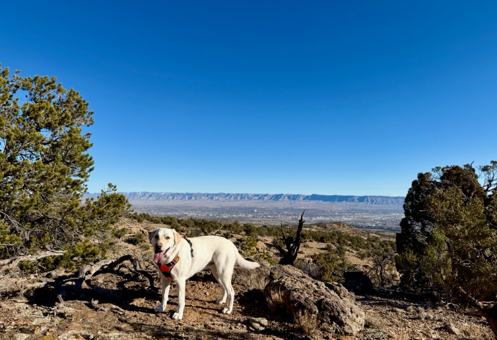
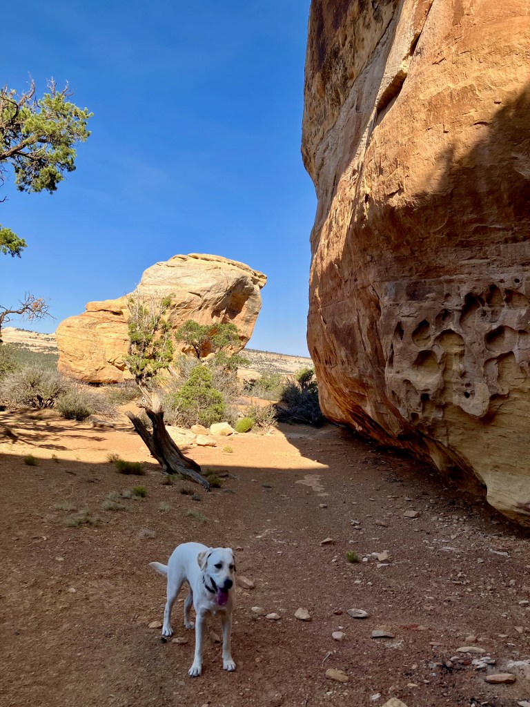
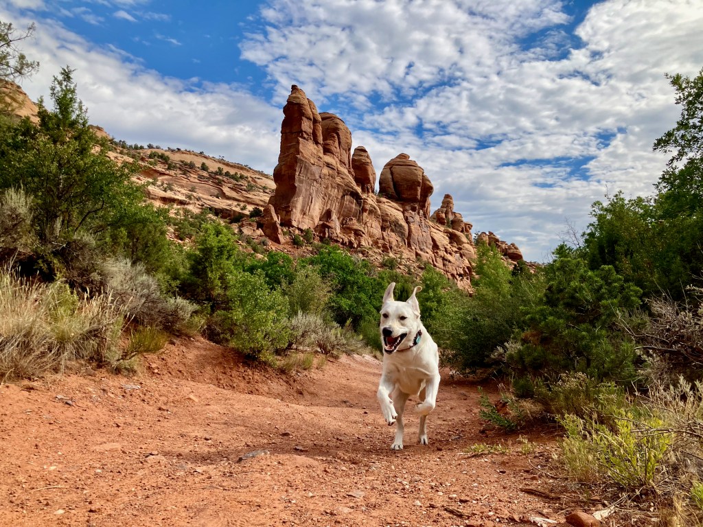
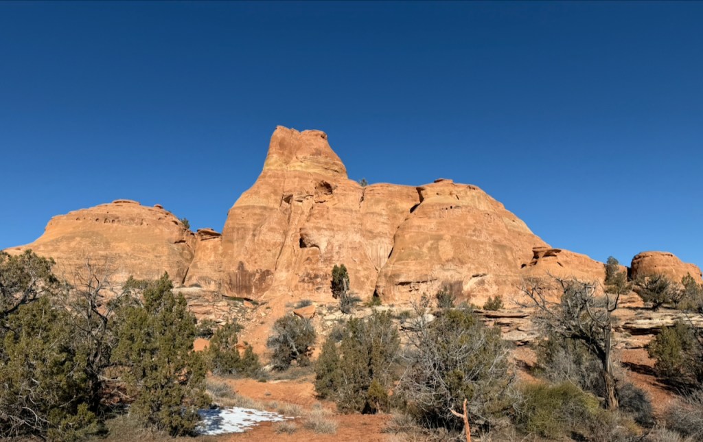
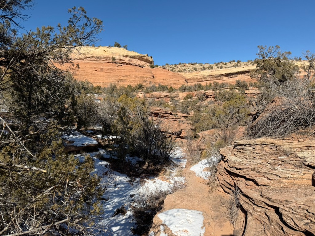
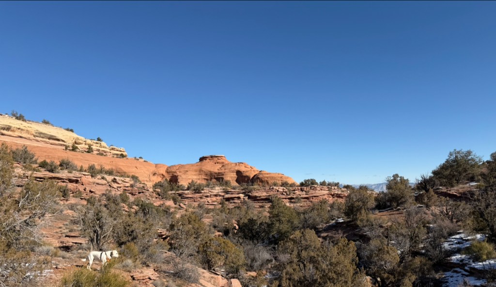
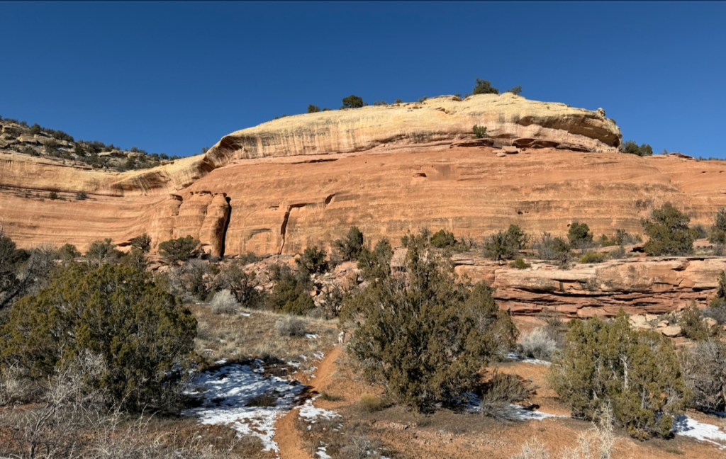
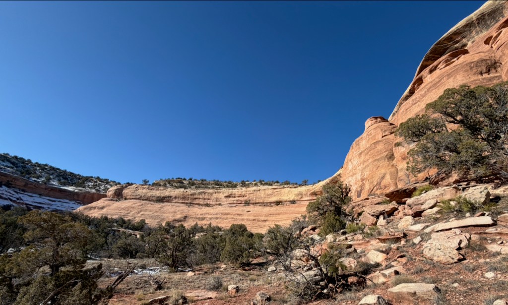
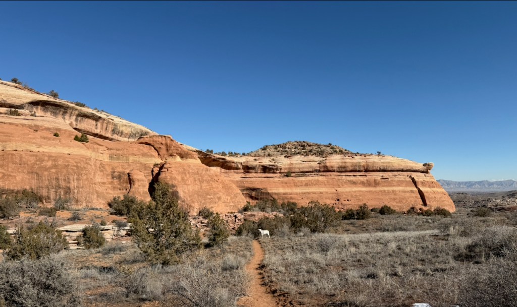
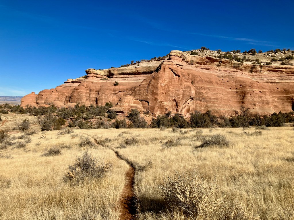
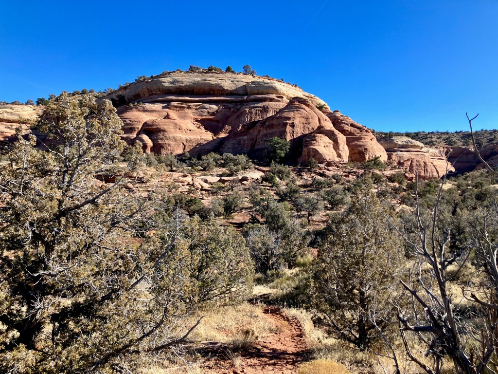
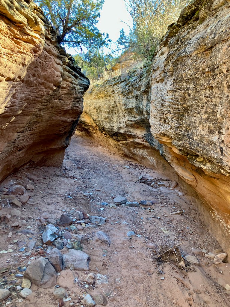
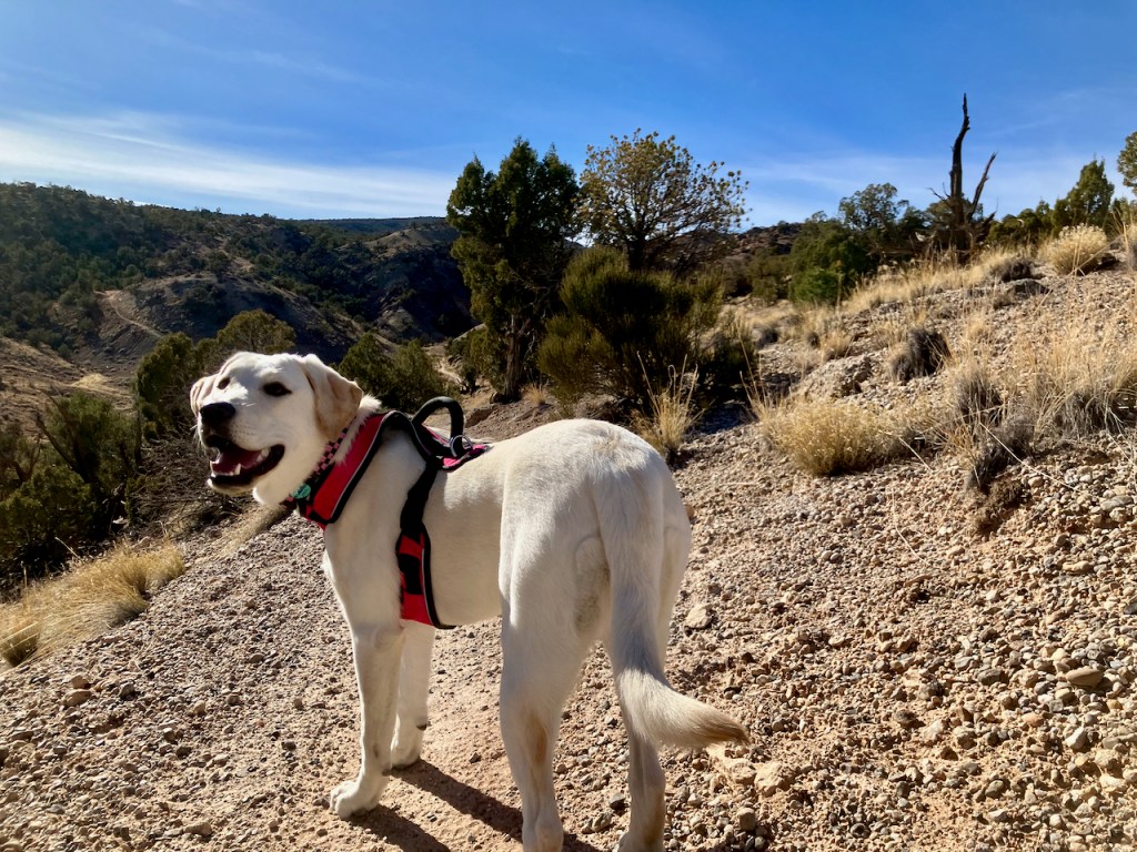
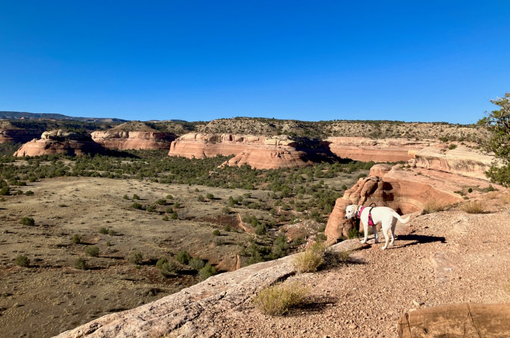
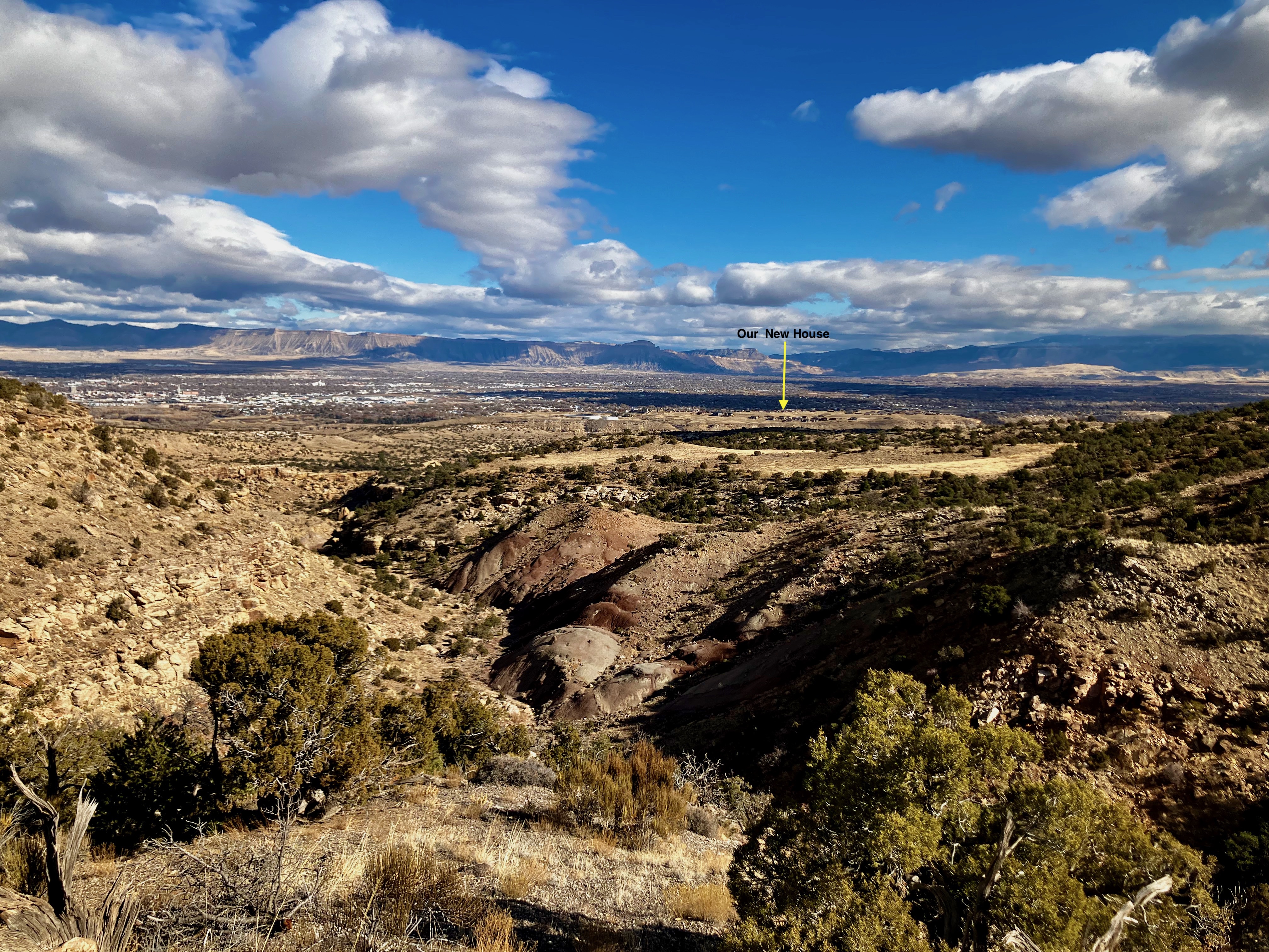
The Second Thoughts Twist-N-Shout Trail is another hike from the Lunch Loop Trail System of the Bangs Canyon Recreation Area, BLM. This moderate 4.9 mile 600+ vertical hike provides almost a constant view of the Grand Valley. I started this hike from the Third Flat Trailhead, but it also appears you could park along the Little Park road and start. My first try for this hike was after a rainstorm which cut it short due to the heavy mud. My second try allowed me to complete the entire loop starting with the Second Thoughts route and then finishing with the Twist-N-Shout to complete the loop. The vertical does give you a serious workout. My recent hike with my 7 month old Lab, Gracie, definitely wore her out. I was also surprised by the view of our new house in Spyglass Ridge to the north.
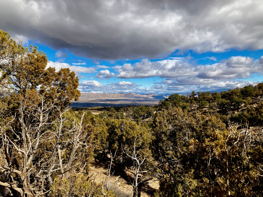
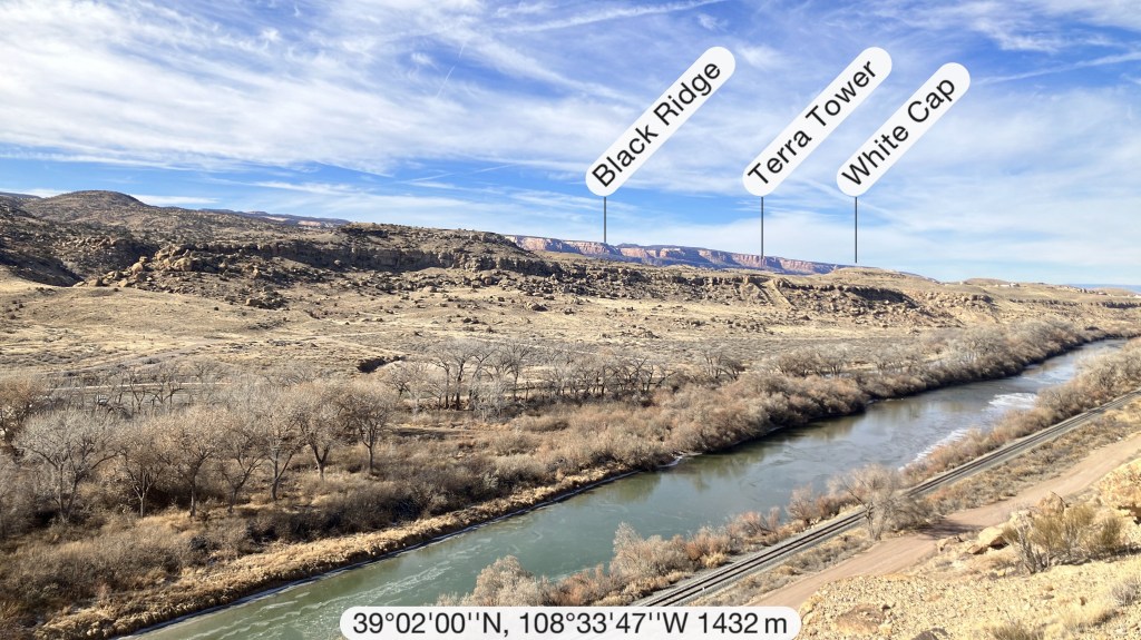
I also like the view over to the Black Ridge of Colorado National Monument.
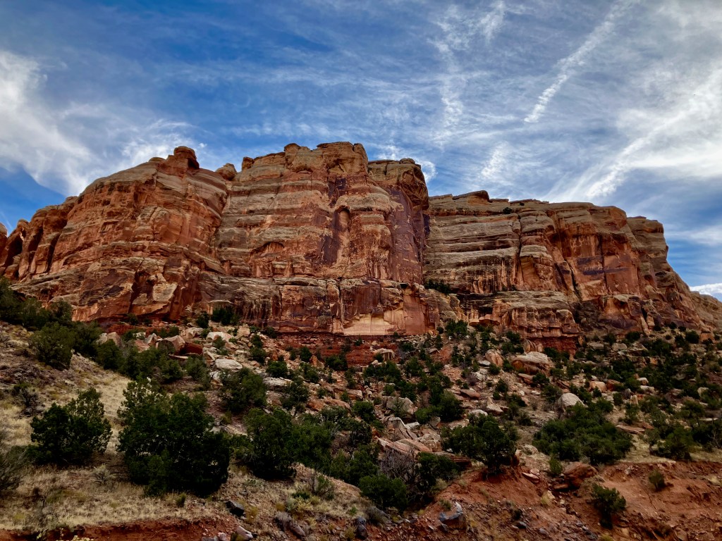
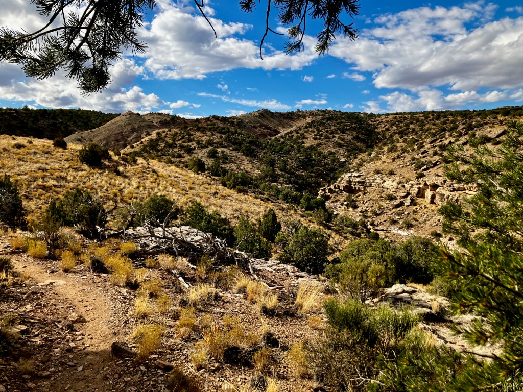
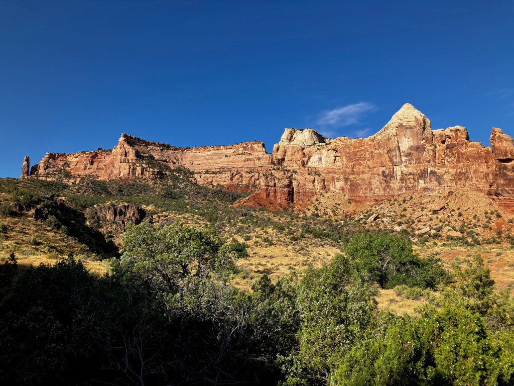
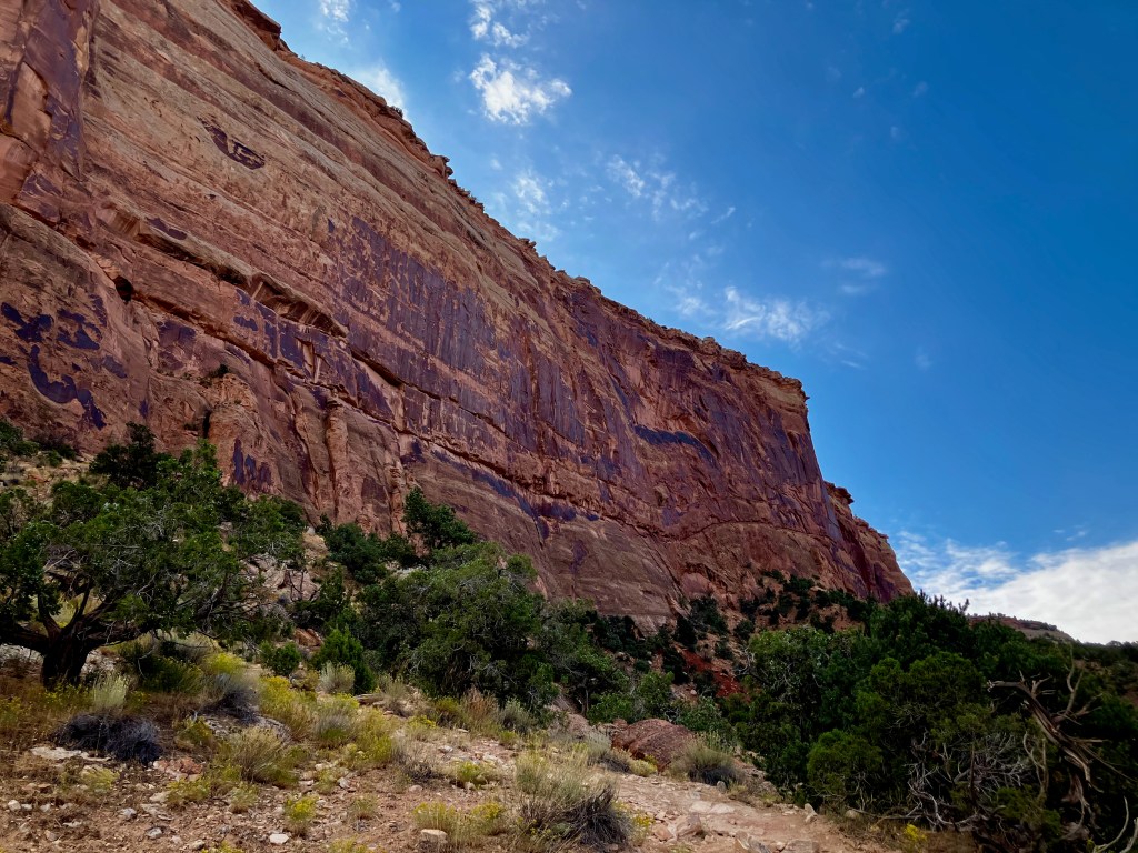
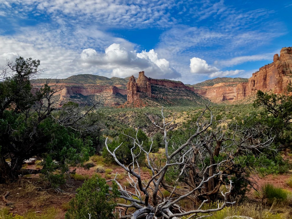
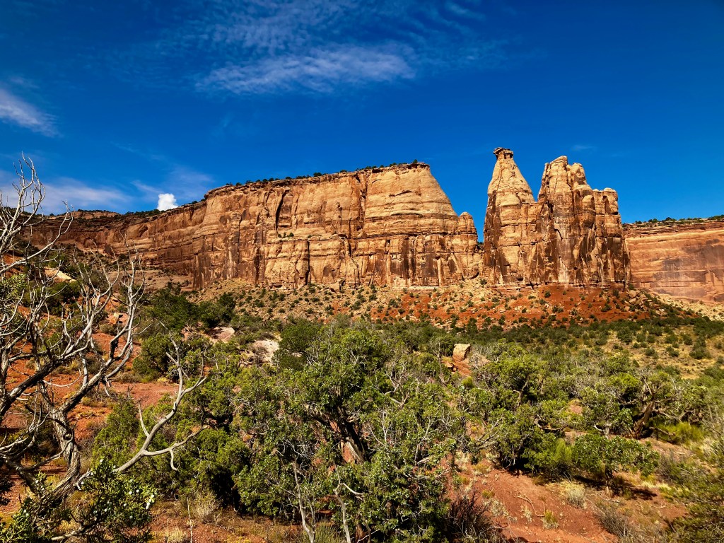
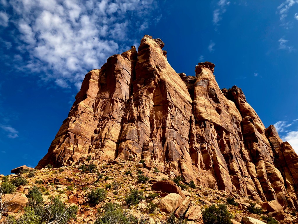
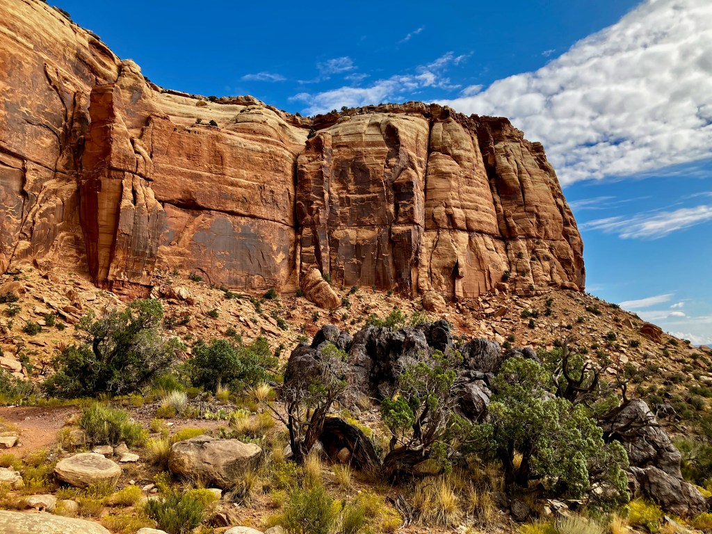
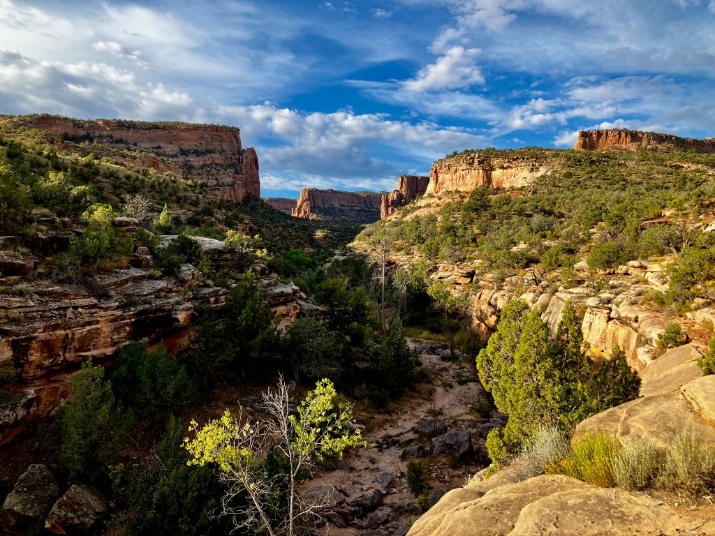
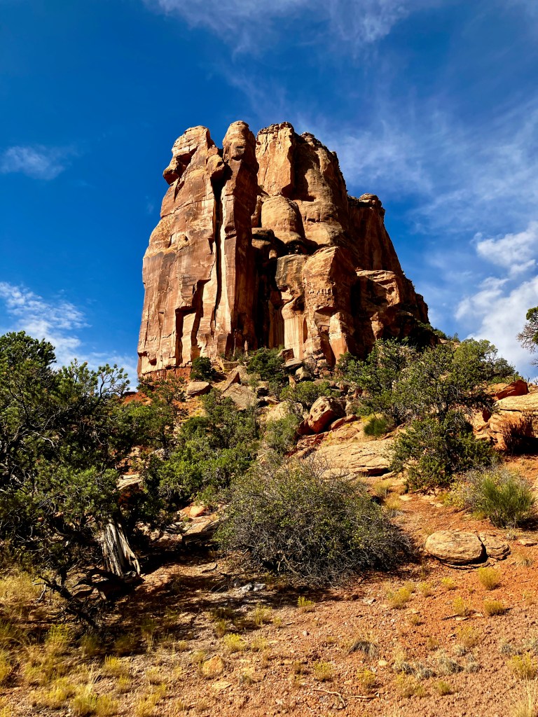
Monument Canyon Loop Trail, 5 miles 750′ vertical
The Monument Canyon Loop Trail gives you access to the amazing rock sculptures that you typically take in from the road above through the Colorado National Monument.
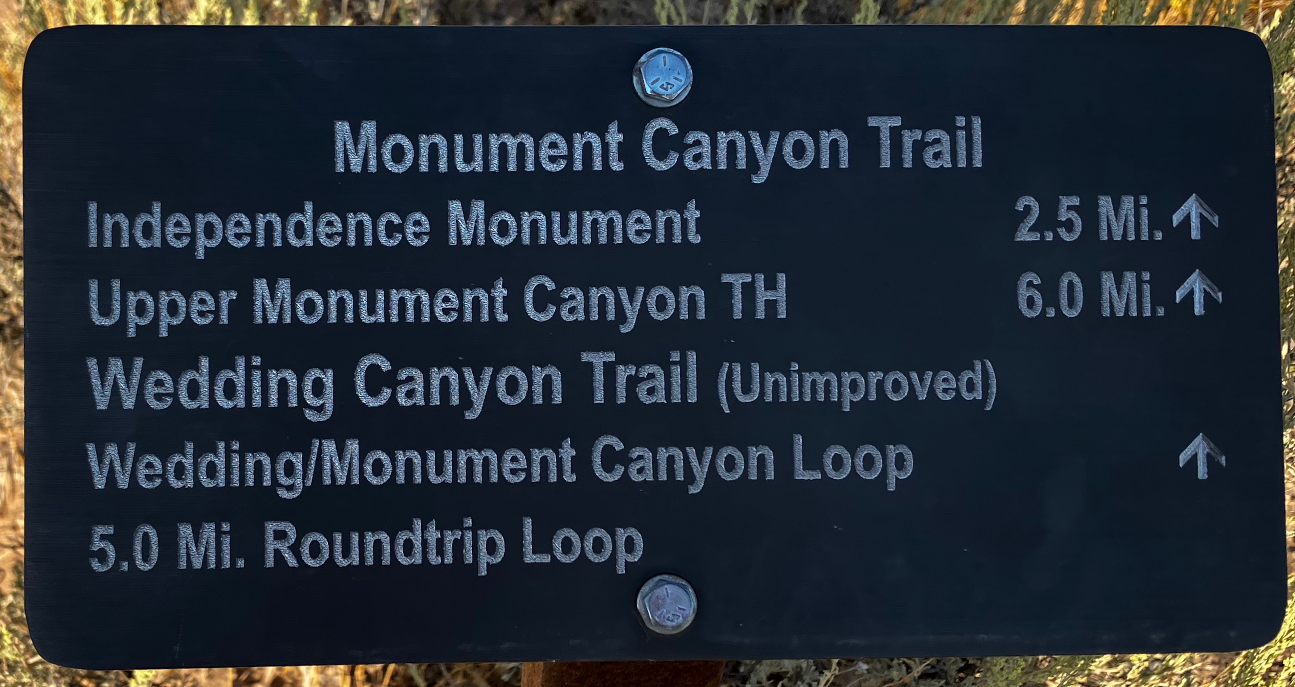
The loop is created by combining the trail to Independence Monument and the Unimproved Wedding Canyon Trail. I believe starting the loop counterclockwise with the Wedding Canyon Trail is the most scenic direction. The term “unimproved” is apt, with a few steep sections that slow you down a bit but are not a problem. There are magical views as you approach the Independence Monument section of the loop. This hike takes you below a number of scenic overlooks used by visitors to the National Monument. The photos follow the counterclockwise direction of the loop.
Devil’s Canyon D1 and D7 Loop
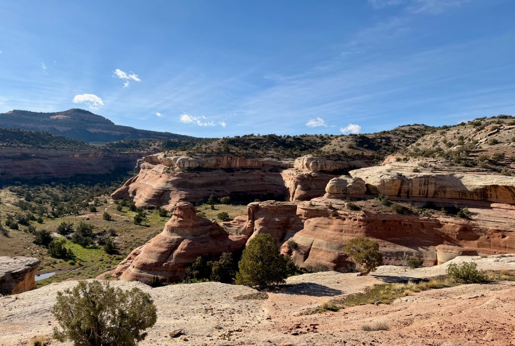
The Devil’s Canon D1 to D7 Loop was 5.2 miles and 679′ vertical when I hiked it. It is accessed from the very popular Devil’s Canyon Trailhead in the McInnis Canyons National Conservation Area. The main hike that I started on was the Devil’s Canyon Trail, but I have come to appreciate all of the D Numbered Trails that are to the west of Devil’s Canyon. In fact, there are various connector trails over to the Pollock Bench Trails.
The D1 trail can take you to the Devil’s Canyon trail or it will take you to a western side overlook of the canyon, which is spectacular. However, the D1 trail climb is all uphill with a final climb up and over a pass that puts you on the D7 trail. There are many unique rock formations and great views of the Fruita end of the Grand Valley along the climb.
The mini pass over to the D7 trail which is a bit steep reminded me of the many passes I have conquered in my backpacking adventures.
This is the high point so it is all downhill from here. The D7 trail provides more valley views along with more unique rock formations as you head back to the trailhead from the west.
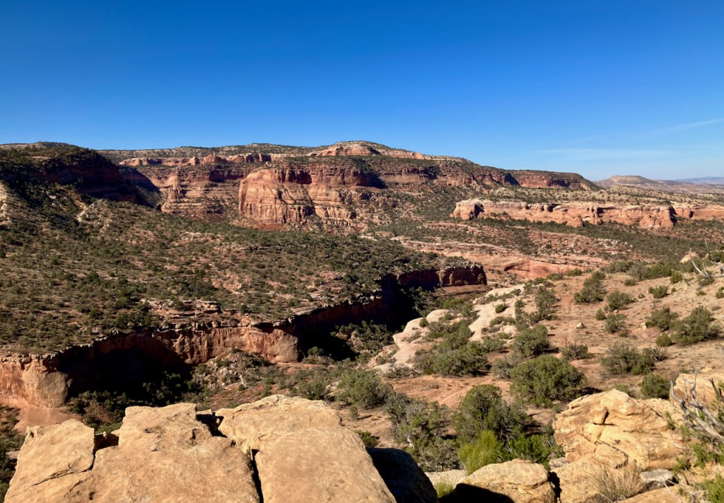
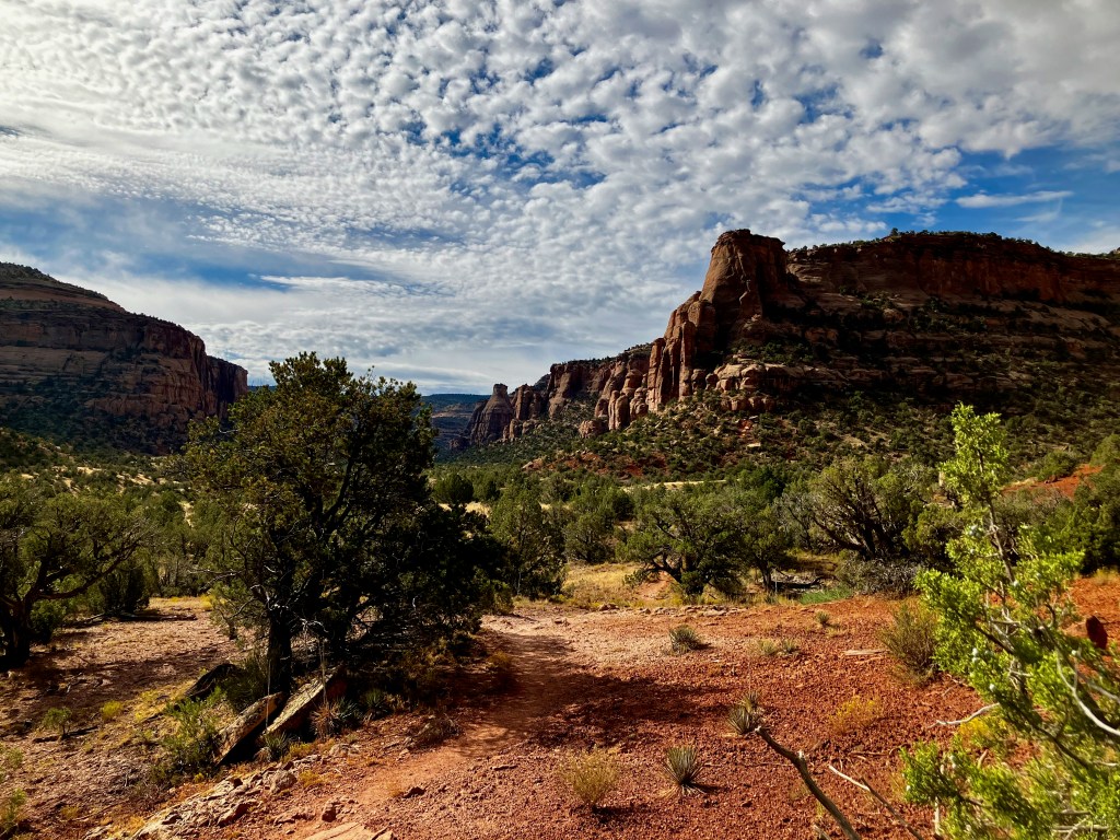
Pollock Bench Trail, 7 miles 920′ vertical
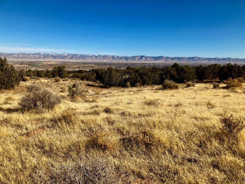
The Pollock Bench Trail is a 7 mile loop with 900+ vertical just east of Devils Canyon is accessed from the Pollock Bench Trailhead. This easy hike offers the different perspective of being above the canyons with great views of the Grand Valley. You are more exposed on this hike so ideal to hike this in the Spring or Autumn. The early part of the hike hits you with most of the climb and the best views of the Grand Valley.
The loop portion of the hike walks you around the top of various canyons that offer unique stone sculptures.
The last portion of the loop offer views back toward Devils Canyon.
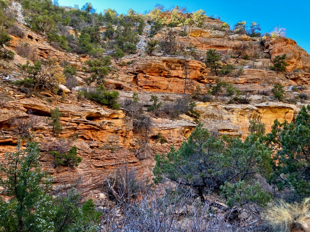
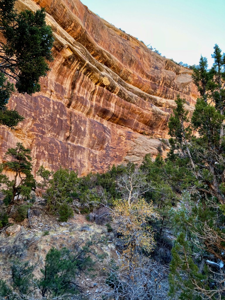
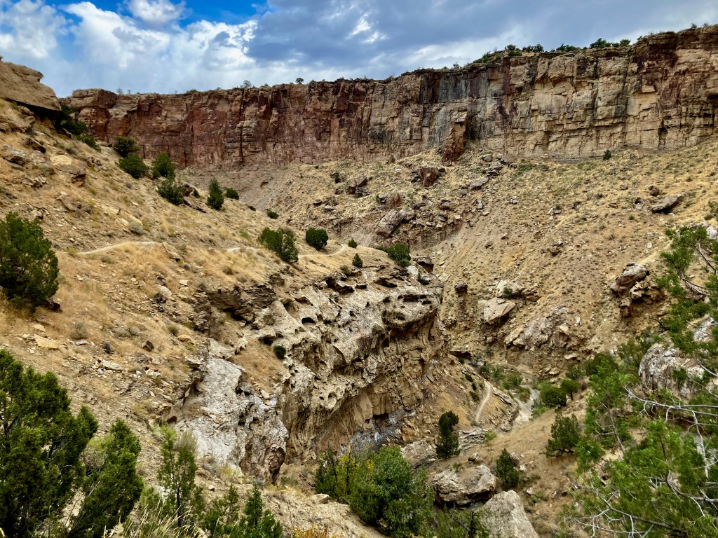
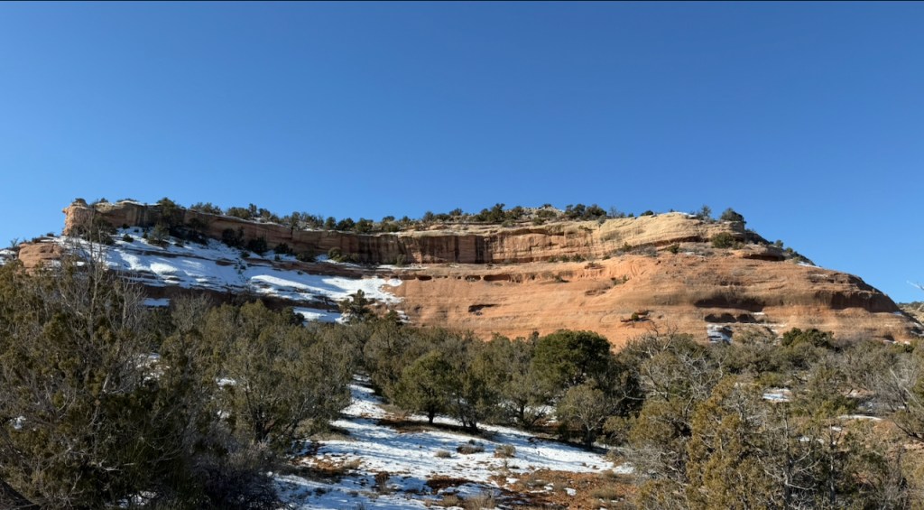
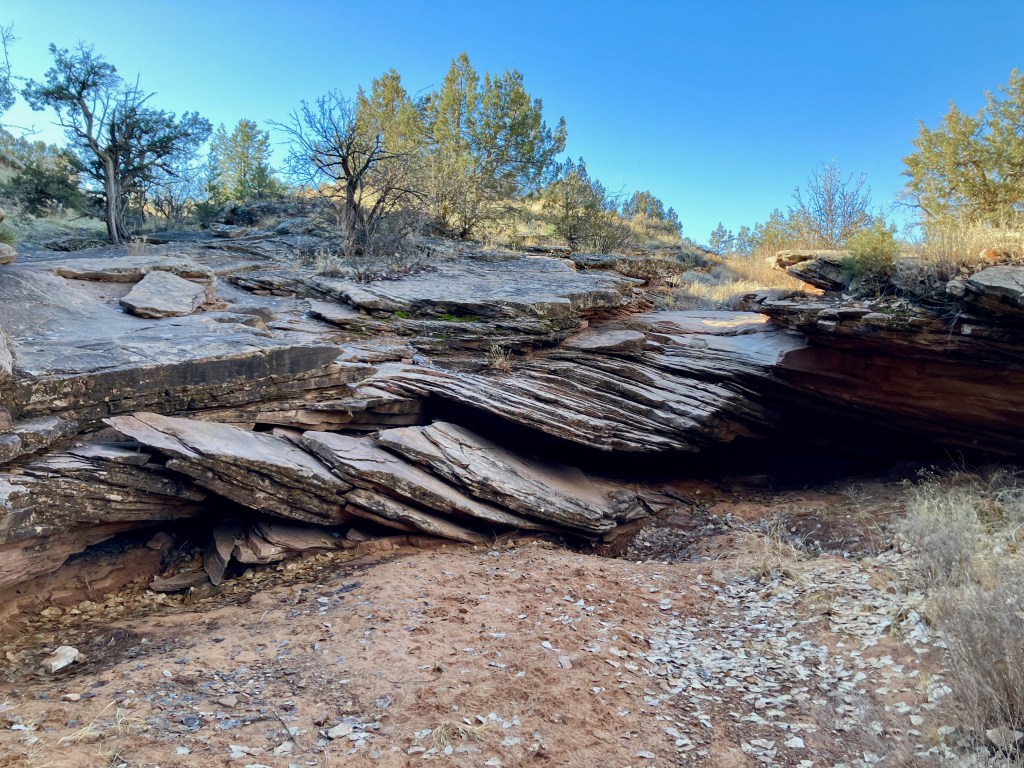
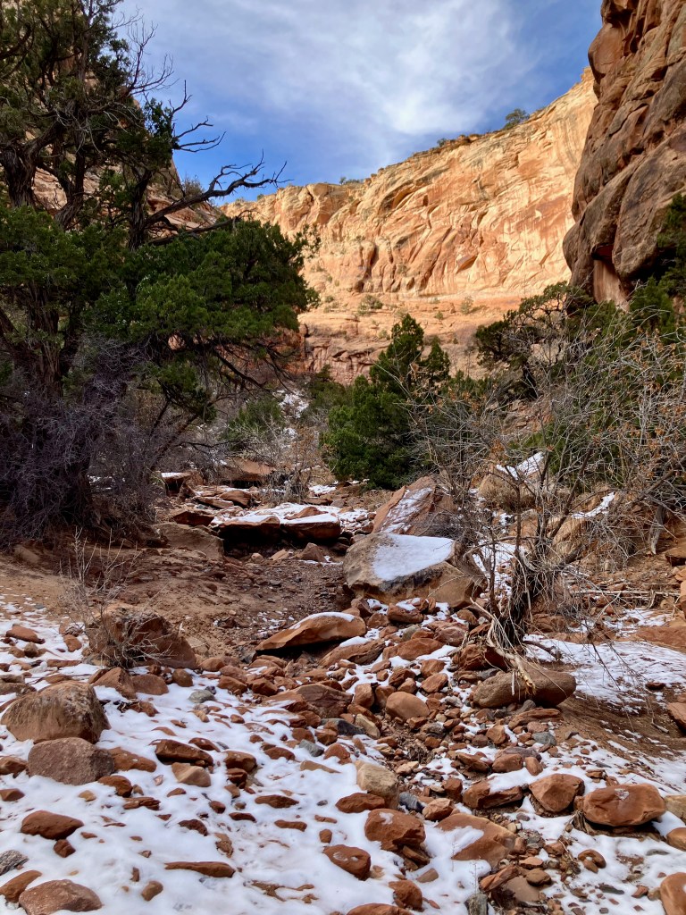
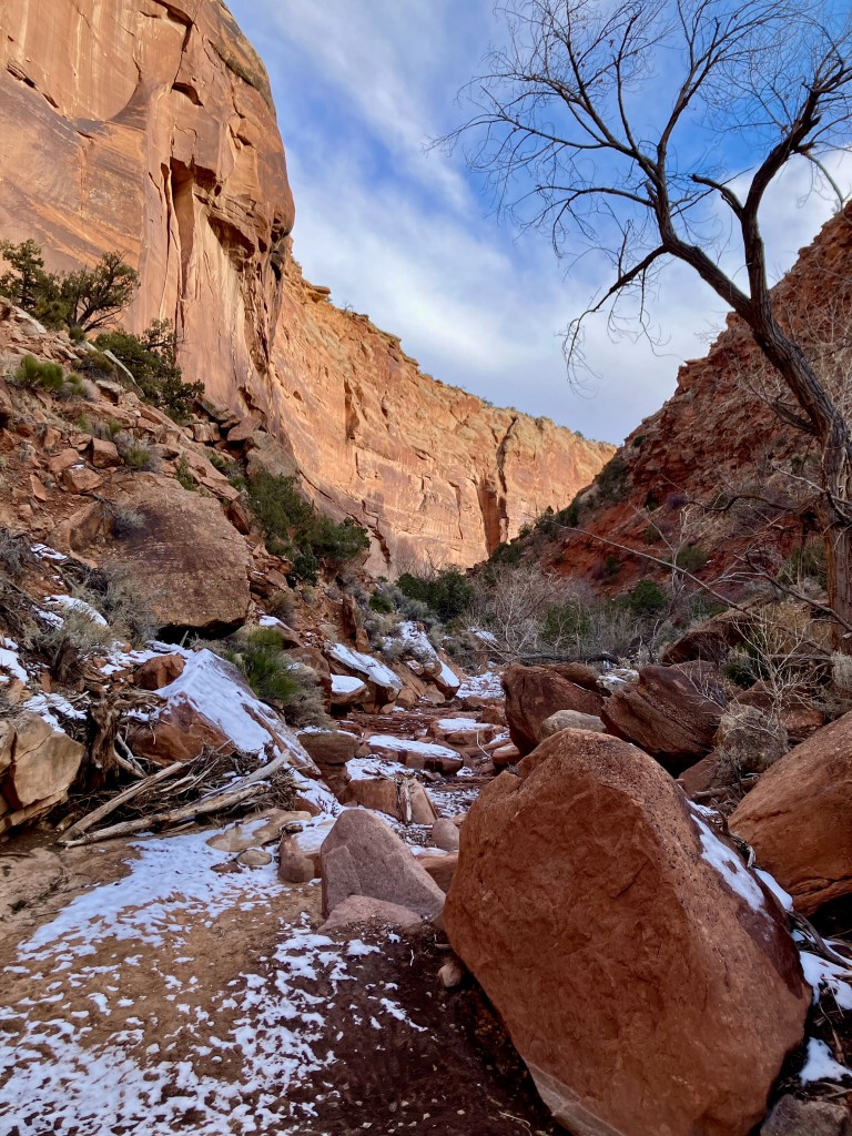
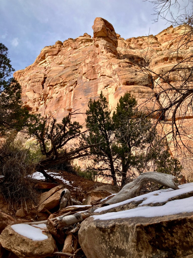
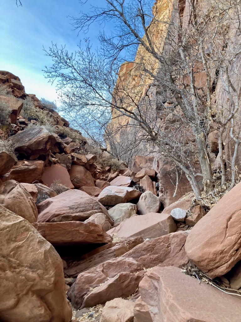
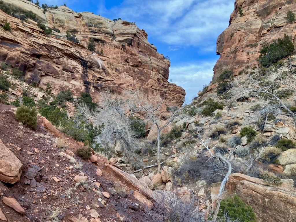
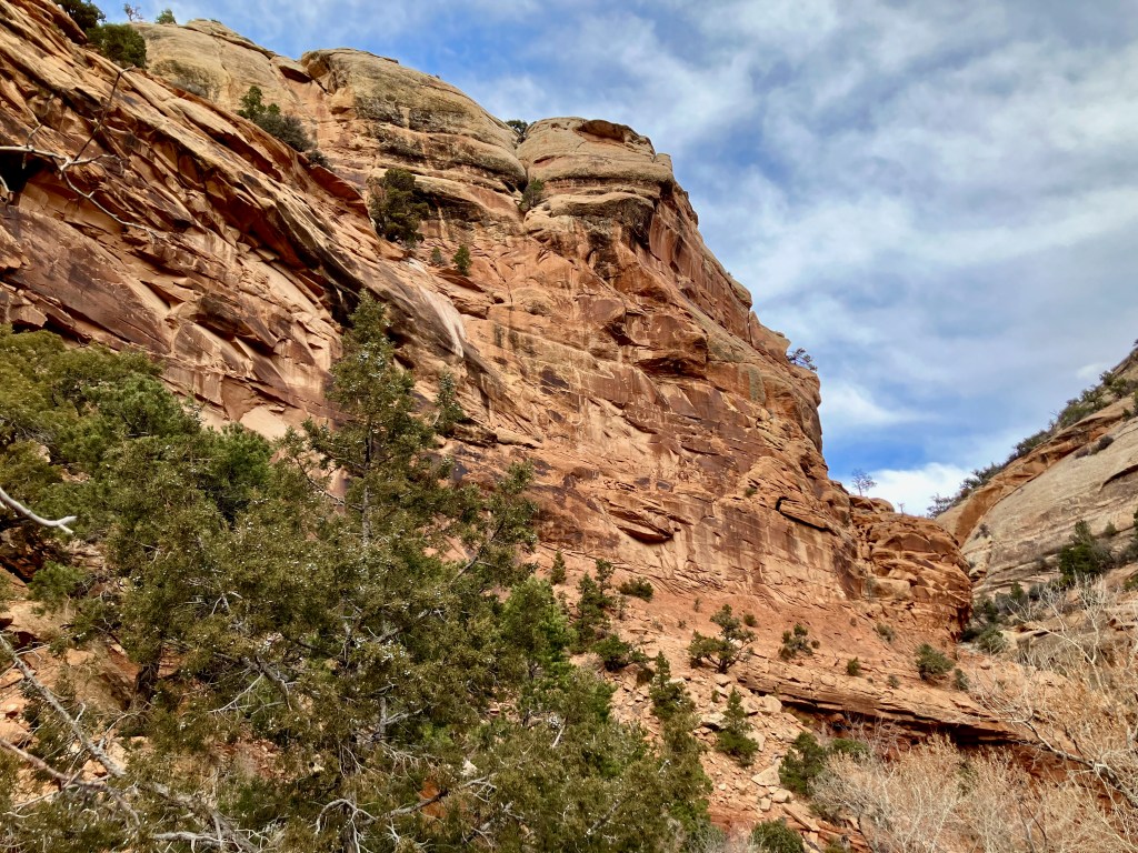
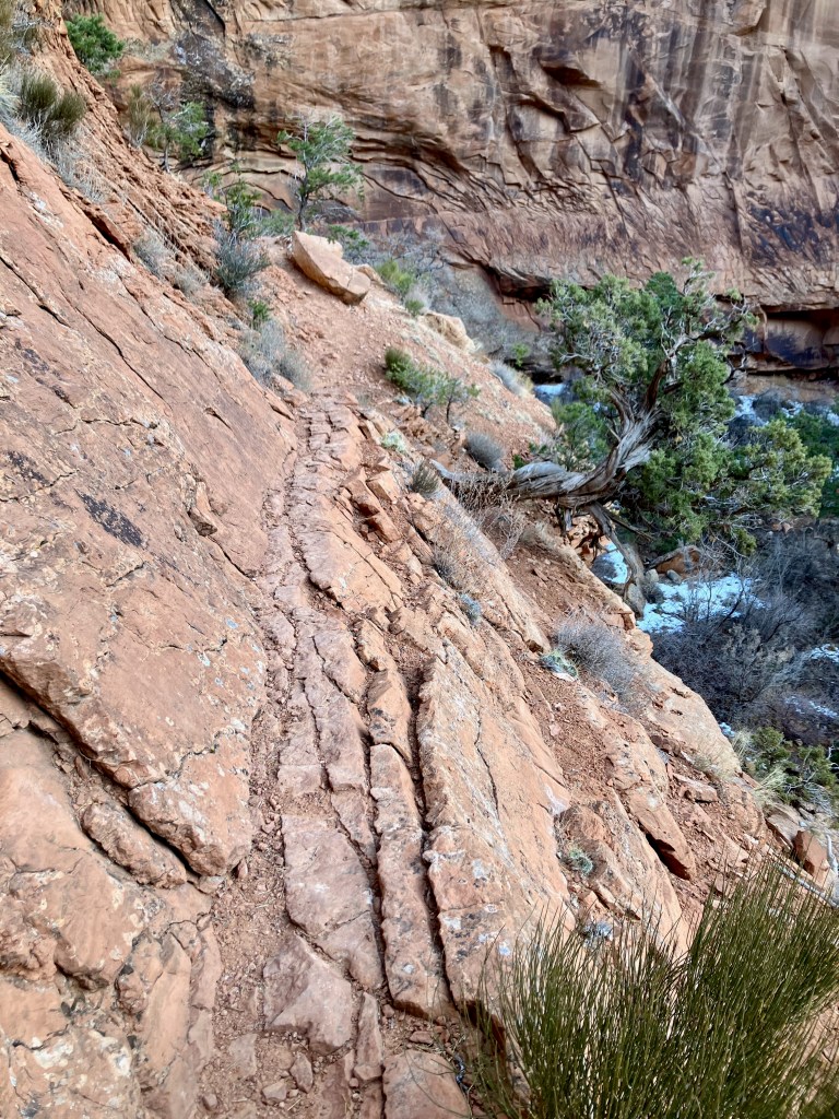
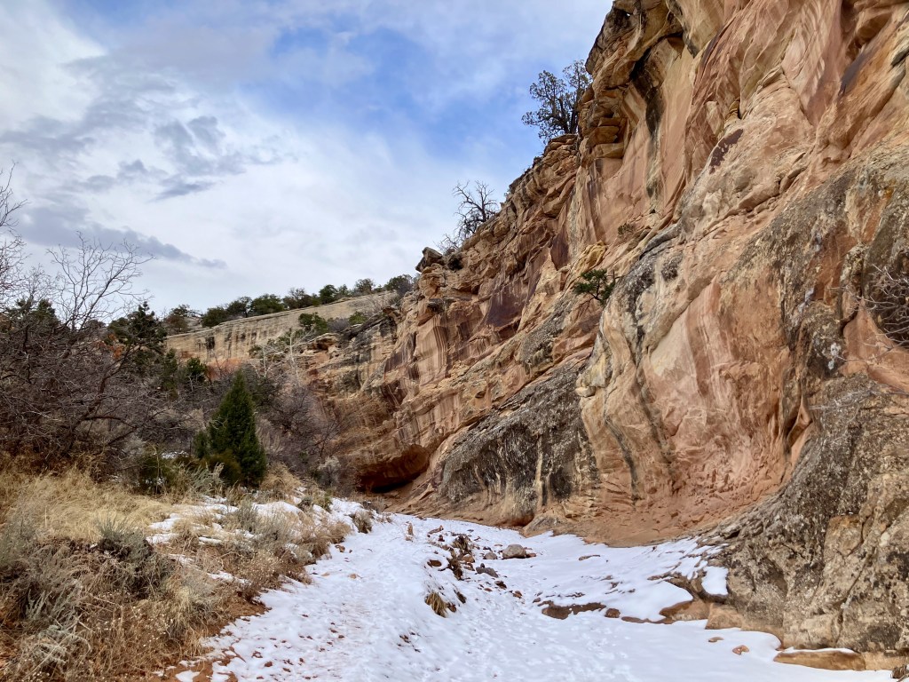
Rough Canyon Loop Trail, 4.5 miles 900′ vertical
I enjoyed the Mica Mine trail so much I wanted to go back to take on the Rough Canyon Loop from the same trailhead. This 4.5 mile trek is listed as moderately challenging but I would categorize the canyon portion as difficult. You want to do this hike clockwise which means you start out going down the ATV road which is above the canyon to the north. This first half of the hike is easy with good views of the Grand Mesa. This trail also accommodates ATVs until you begin the return up the Rough Canyon.
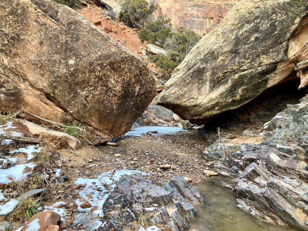
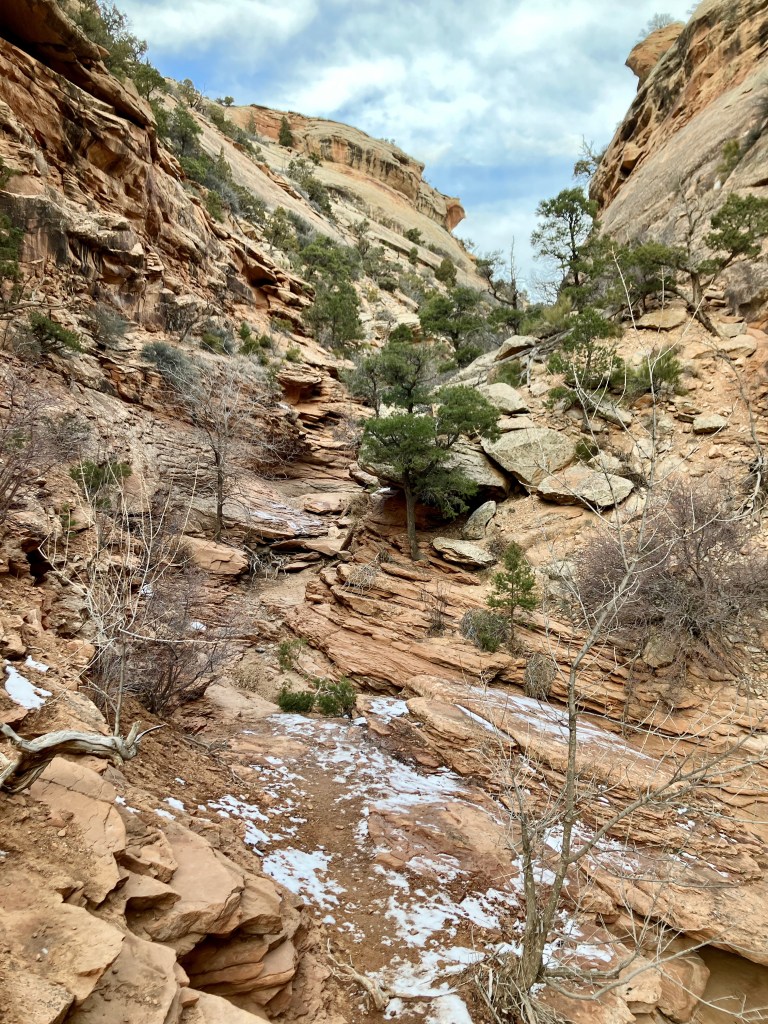
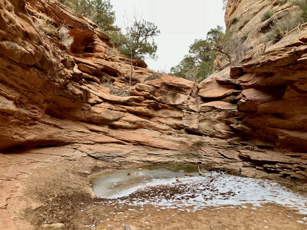
The Rough Canyon return begins with a shift to a less travelled trail that comes upon a sculpted rock trail and scenery. But then you enter into the canyon which on this day in December had a white coat of snow.
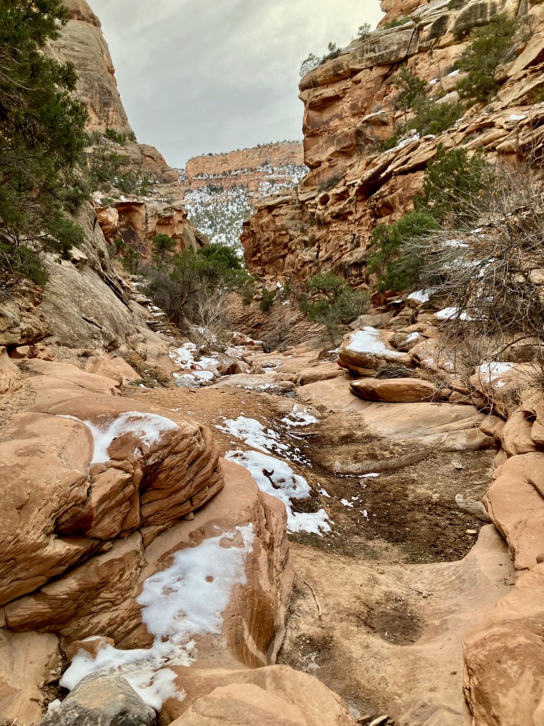
The canyon then presents you with one challenging section after another typically requiring you to select the correct route around blocking boulders. If you choose the wrong way just turn around and try another. Lots of 4-5′ boulder climbs which tends to really wear you out.
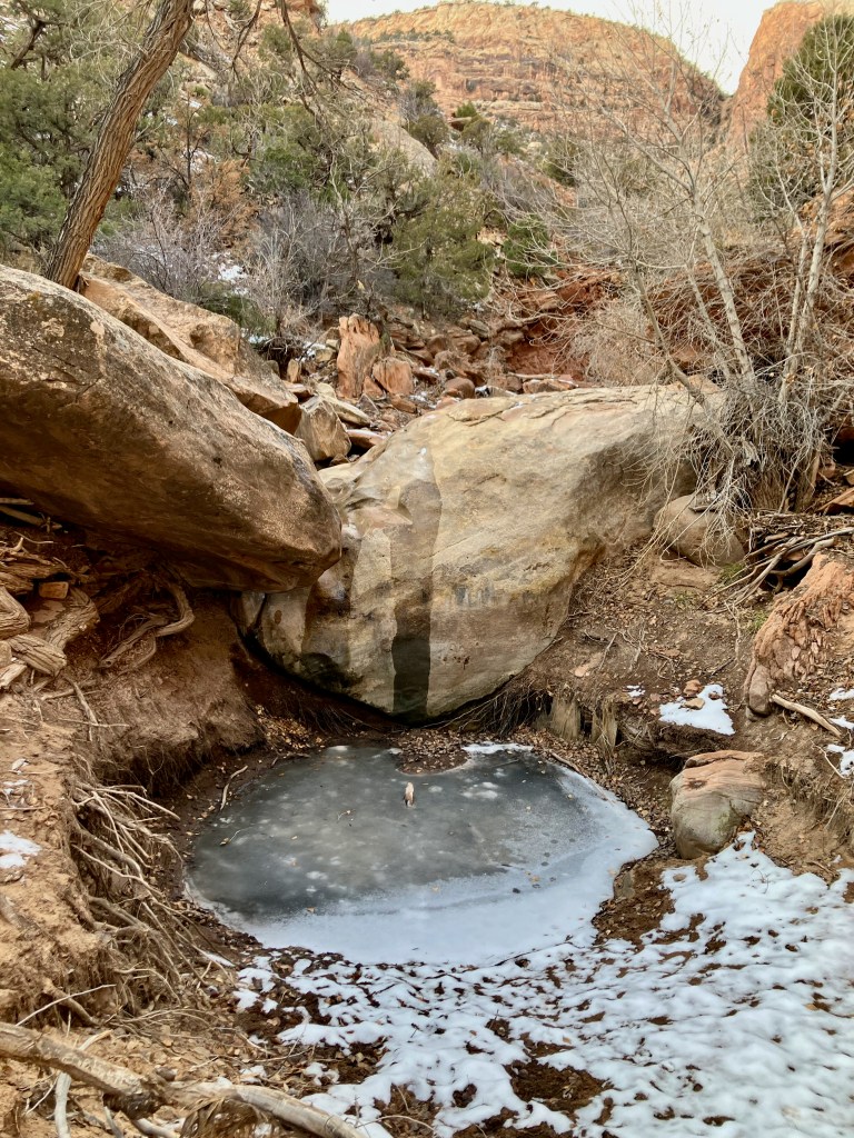
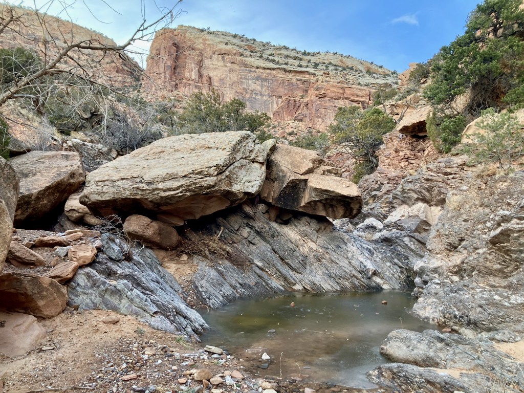
As you start to approach about a mile from the end you come upon a a canyon obstruction that can’t be climbed over. Then you see stairs leading off to the left which looks like it means traversing along narrow ledges above the unpassable waterfall type area. It does turn out to look worse then it is, but you need to call on your no fear of heights mentality.
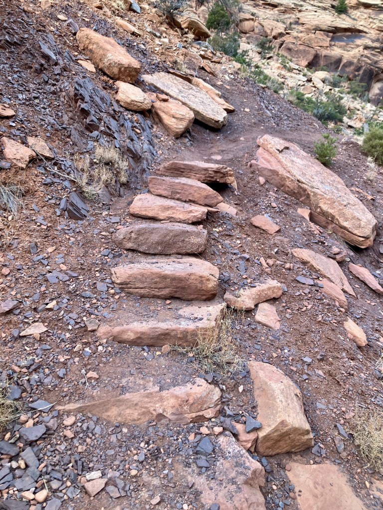
The trail goes back to typical boulder climbing, but it does begin to broaden out as you near the finish.
Slideshow Below
Overall a good hike that does push you physically.
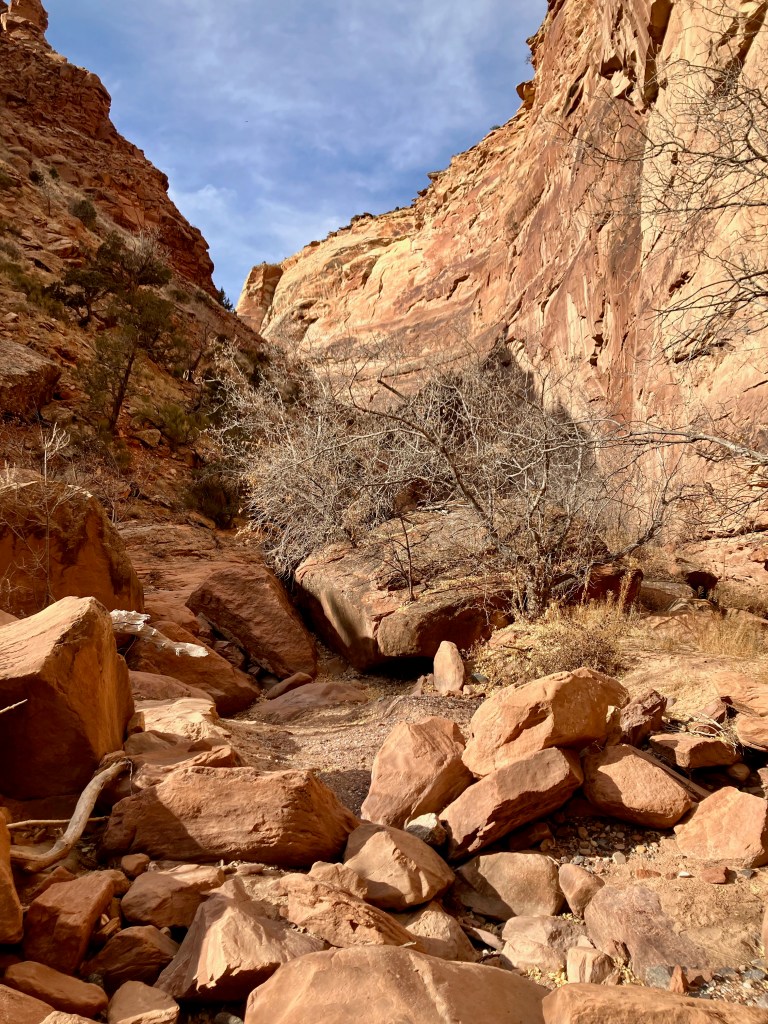
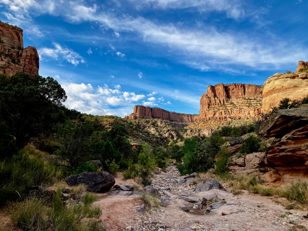
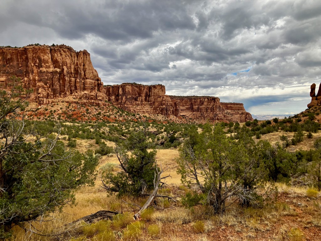
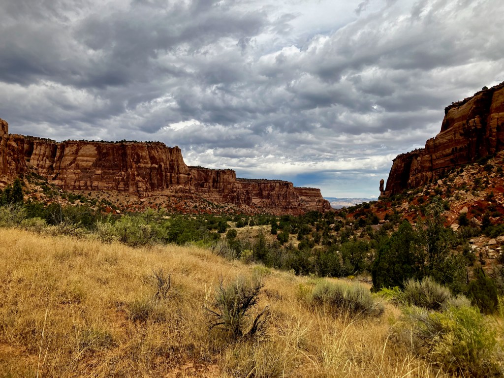
Devils Canyon Loop Trail, 7 miles 800′ vertical
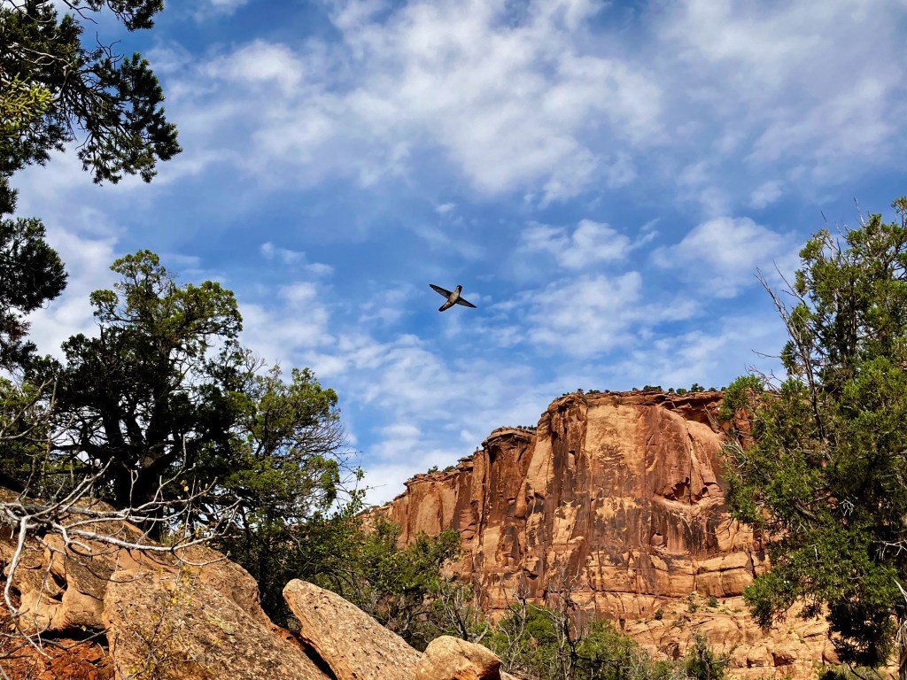
I needed a trail that would push me enough to validate whether I was ready for more serious hikes and backpacking trips in the mountains. The Devil’s Canyon Loop Trail located in the McInnis Canyons National Conservation Area ended up being 8 miles with about 900′ vertical, which when packaged with approaching storms, gave me just the test I needed. The lower portion of the trail before the loop is a nice hike, but the real magic is found on the upper portion.

I always lose the trail at about the 1.1 mile point where the D1 rejoins the Devils Canyon Trail. You need to drop down to the Devils Canyon Trail. However, you could just stay on the D1 trail and enjoy the great options of the D1, D4, D5, D6 and D7 trails (map right.
I had a close encounter with a hummingbird (photo below), which provided me with numerous amazing photos.
The old shed/cabin signifies the furthest point from the trailhead when I realized that the weather was changing more rapidly than I expected.
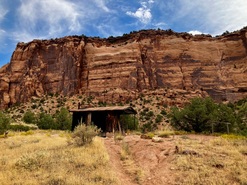
I had to rush back to the car, which was actually a perfect way to confirm that I was prepared to resume my old backpacking adventures. The Adventure Continues now.

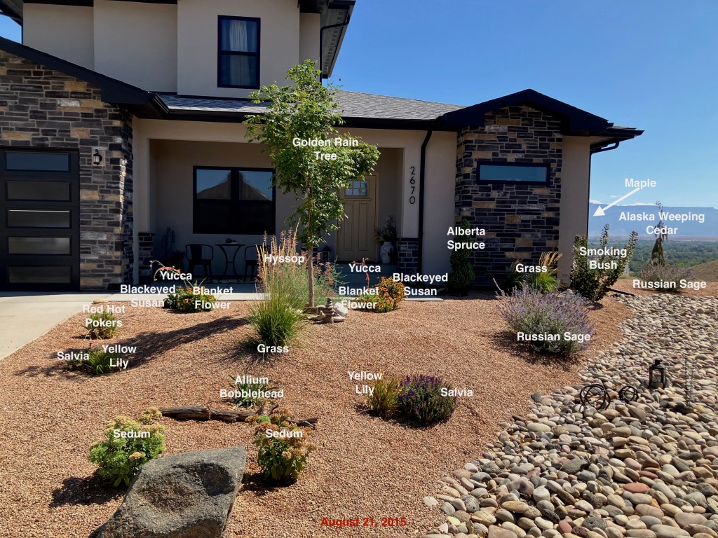
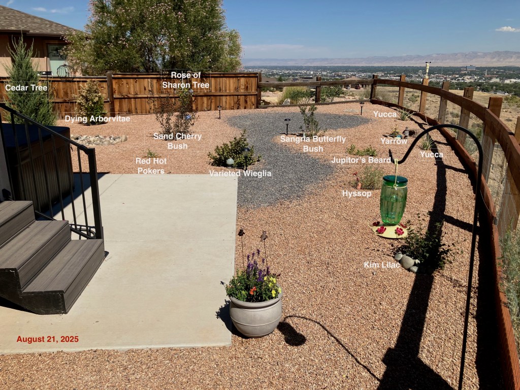
Colorado House
This post is for following the construction of our home in Grand Junction, CO
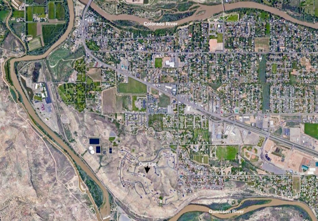
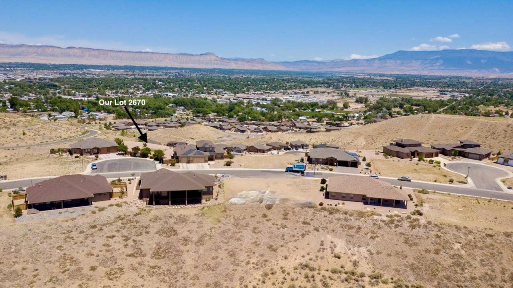
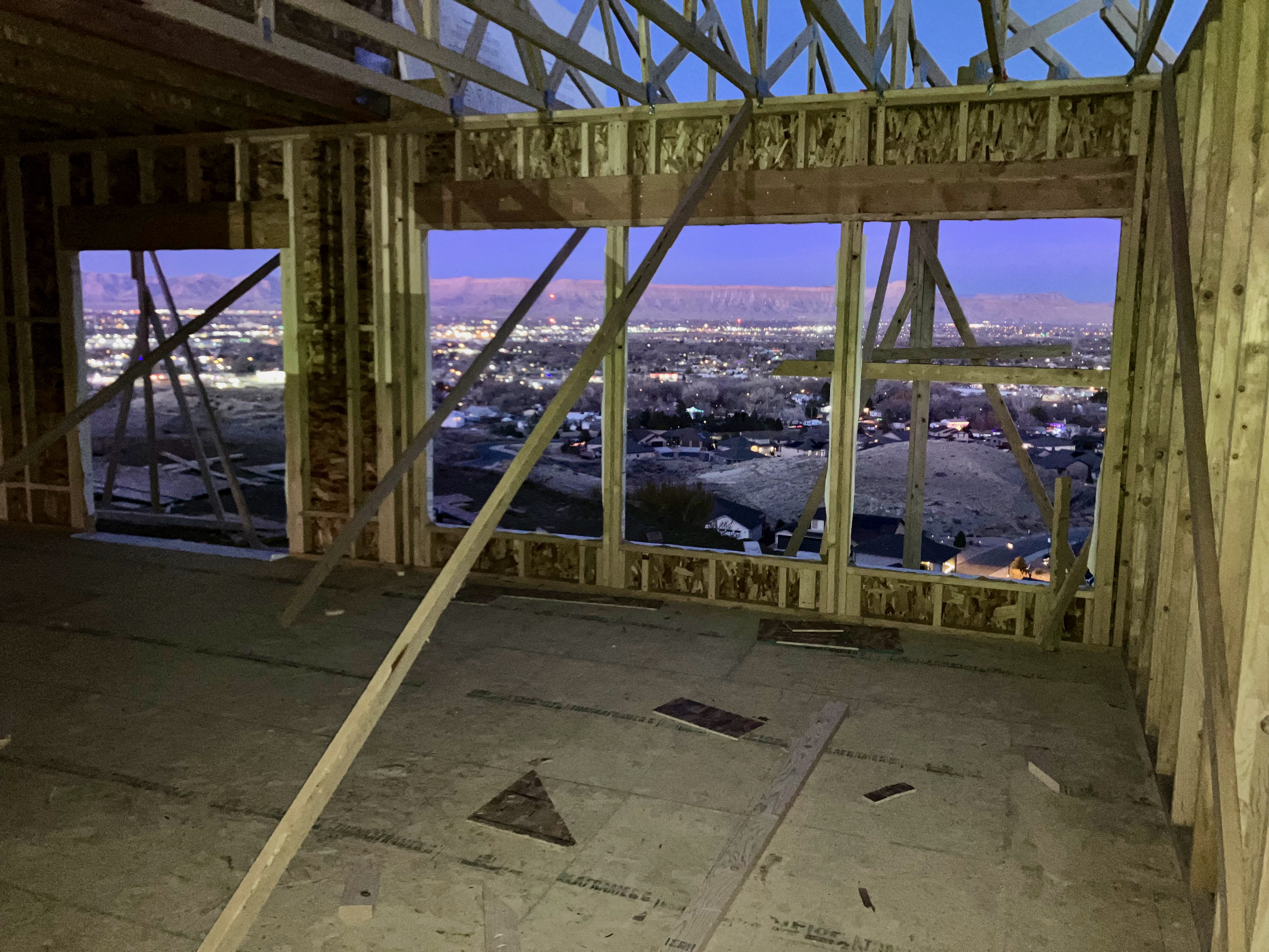
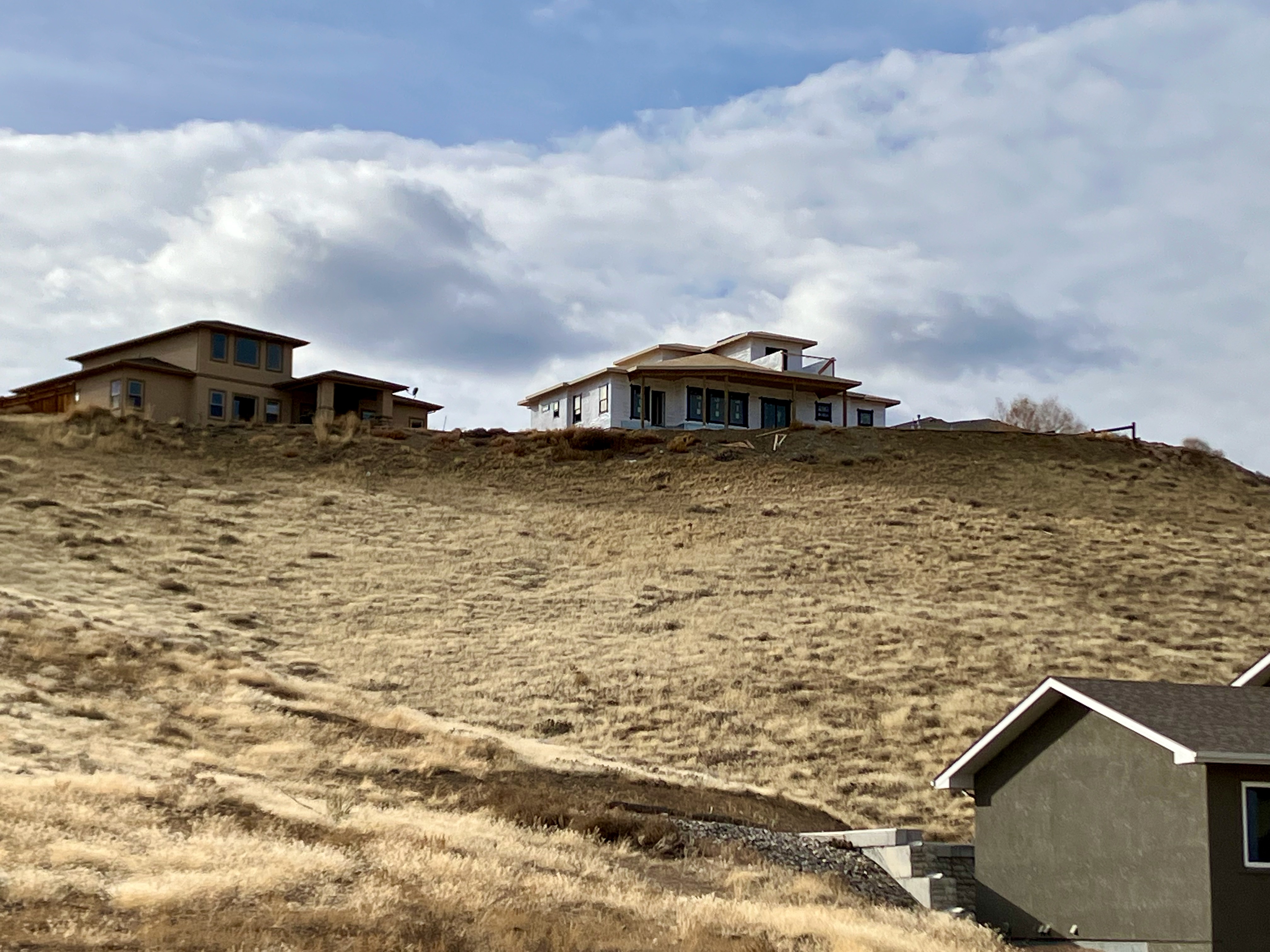
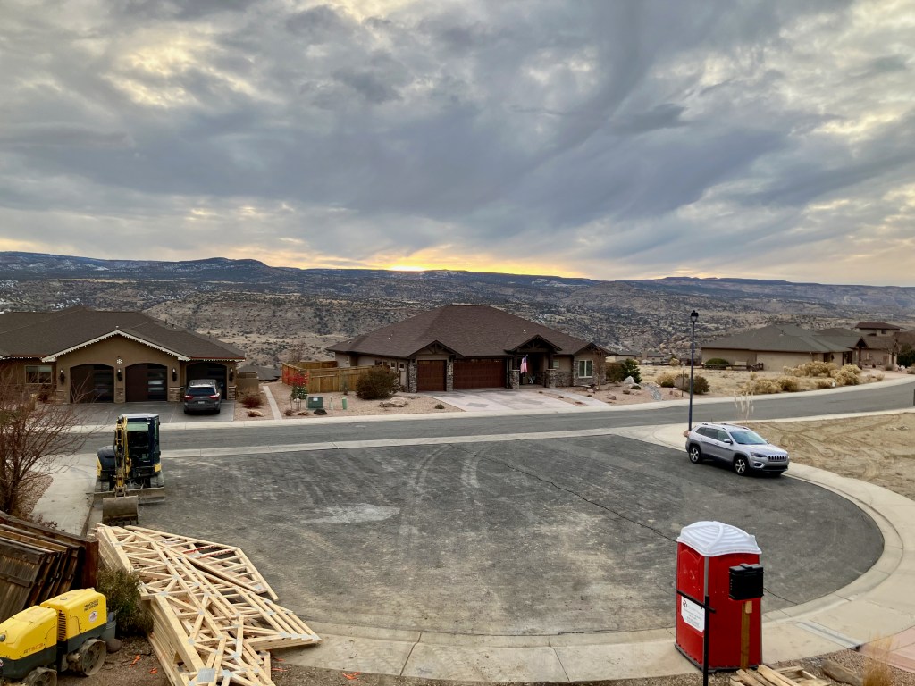
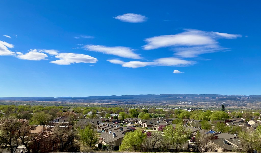
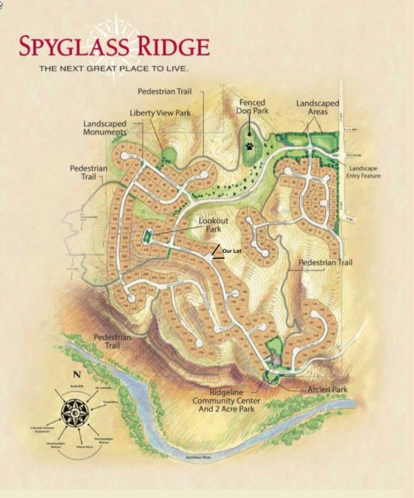
It all started with finding and buying one of the few lots at Spyglass Ridge that has the view I would have wanted. We were able to buy Lot 174 which had been combined with lot 173 to create a new mini subdivision. This turned out to be an incredible headache for the sellers to be allowed to sell it to us. But we did close on our land on June 5th. Our backyard will overlook the Grand Valley with Mt Garfield to the NE.
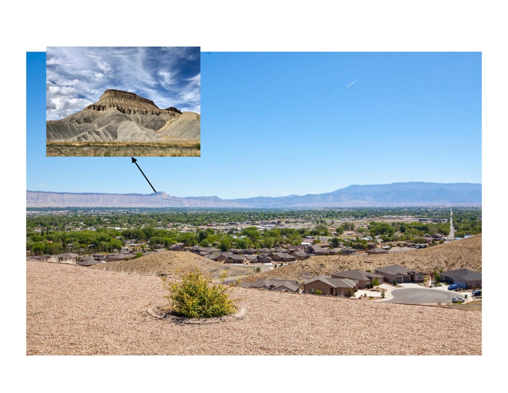
My goal for finding a house in Grand Junction was always to have a glimpse of Mt Garfield. Ever since I lived in Palisade during my stint with Union Oil during the Oil Shale Boom and Bust of the early eighties I have had a connection with this mountain and the Grand Valley. This opportunity for Pam & I to live out the rest of our lives overlooking and being a part of this valley seems like the icing on the cake for a wonderful life. I believe this move to Grand Junction will be my 29th move.
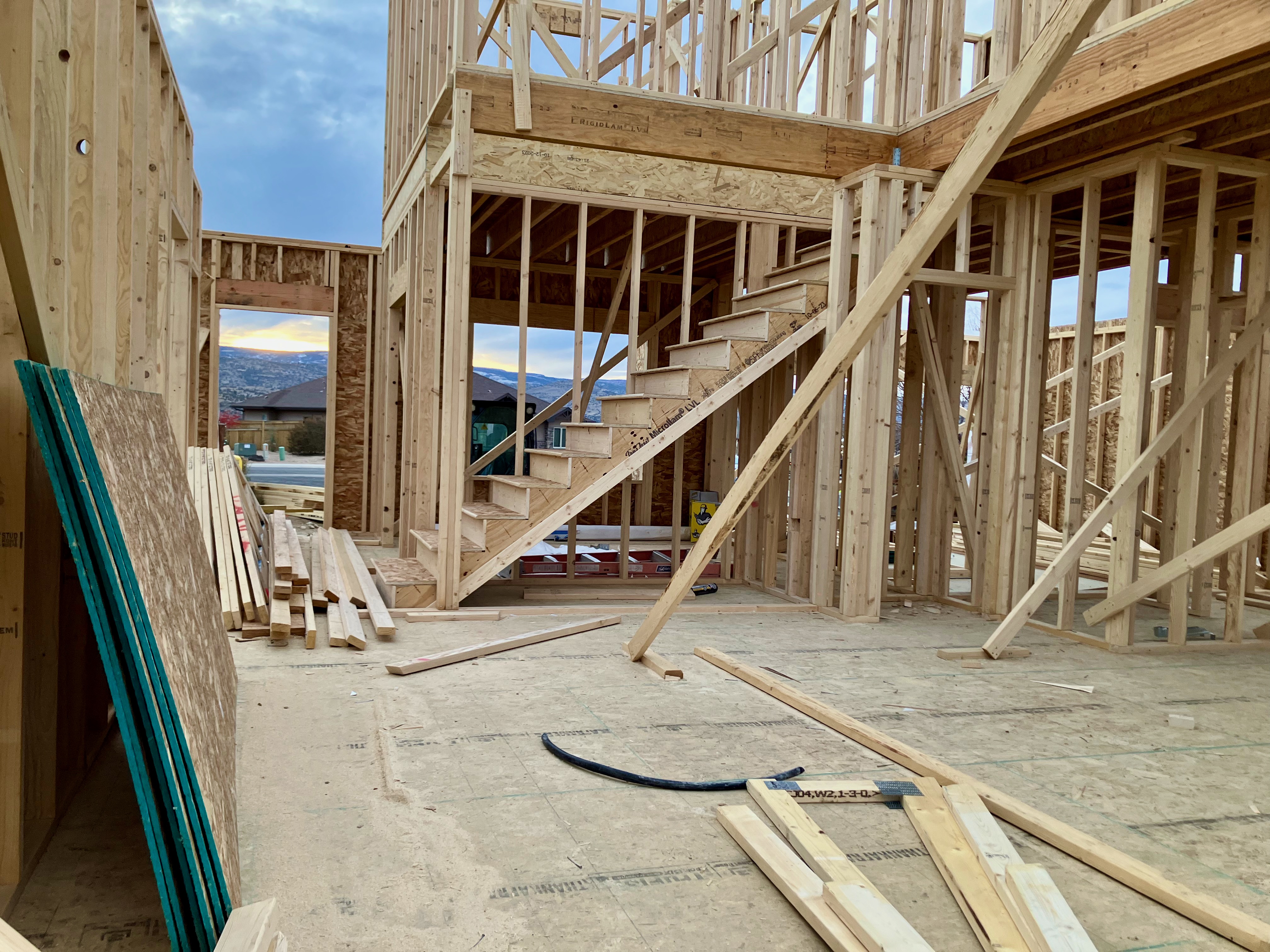
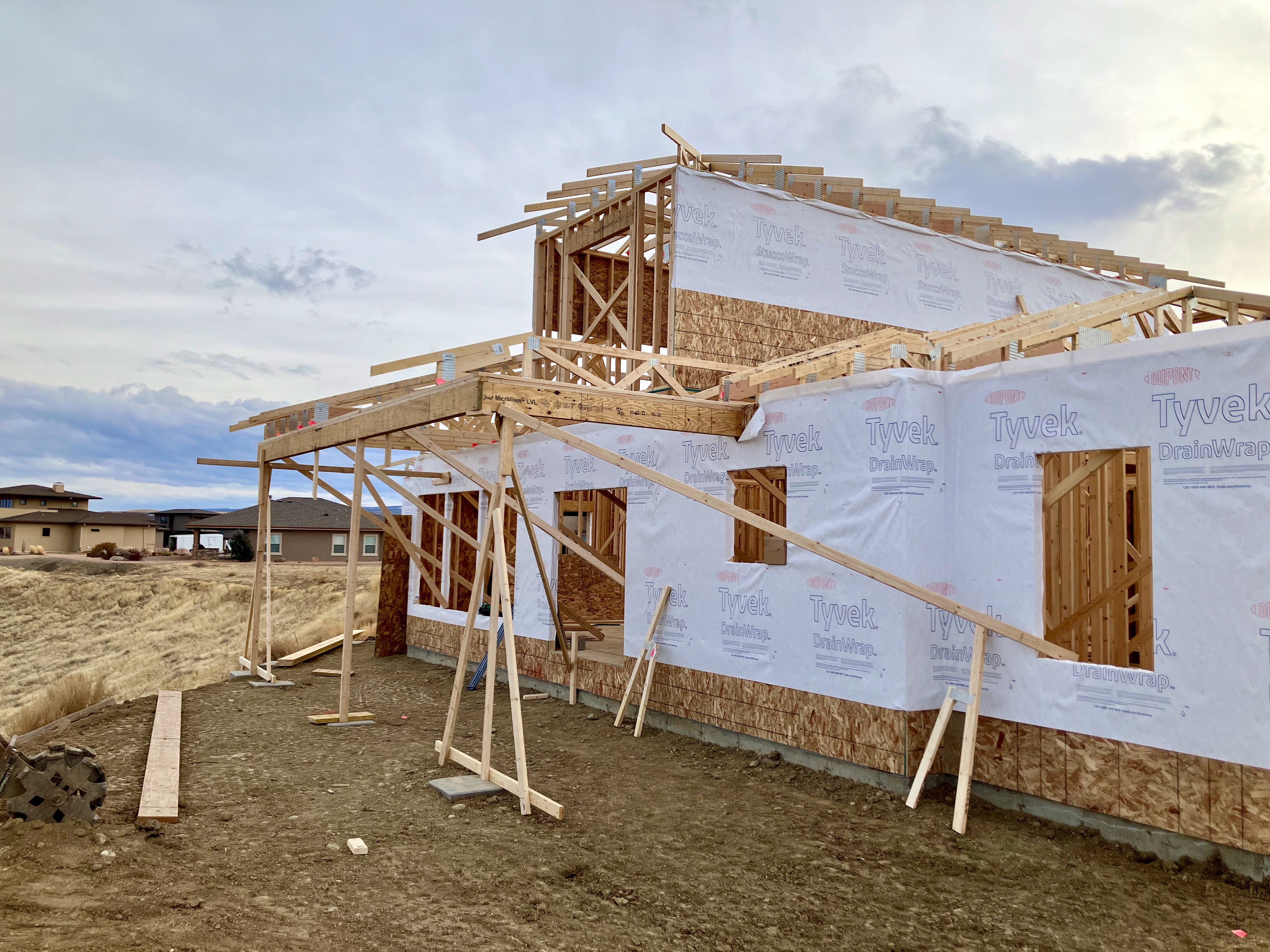
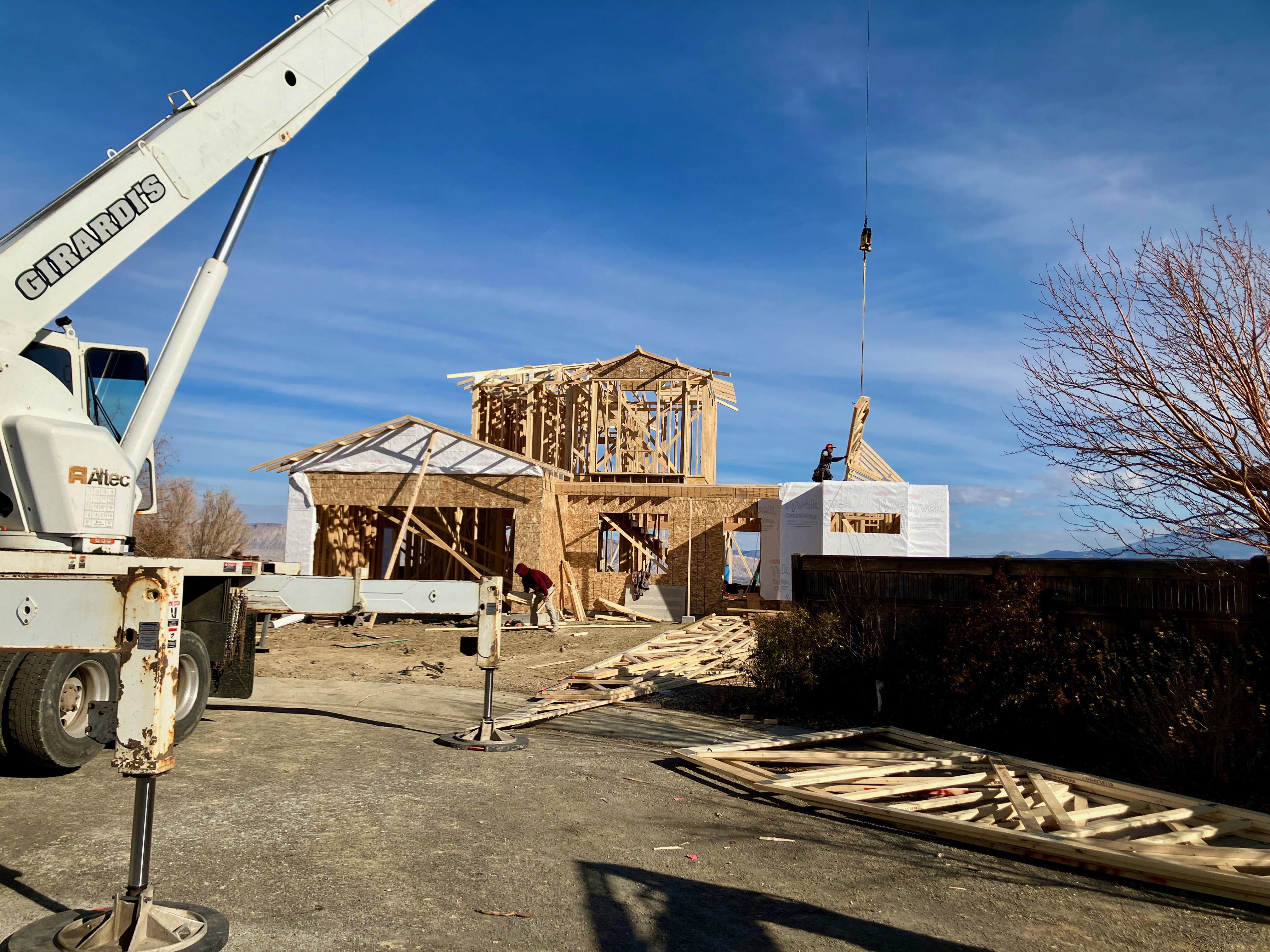
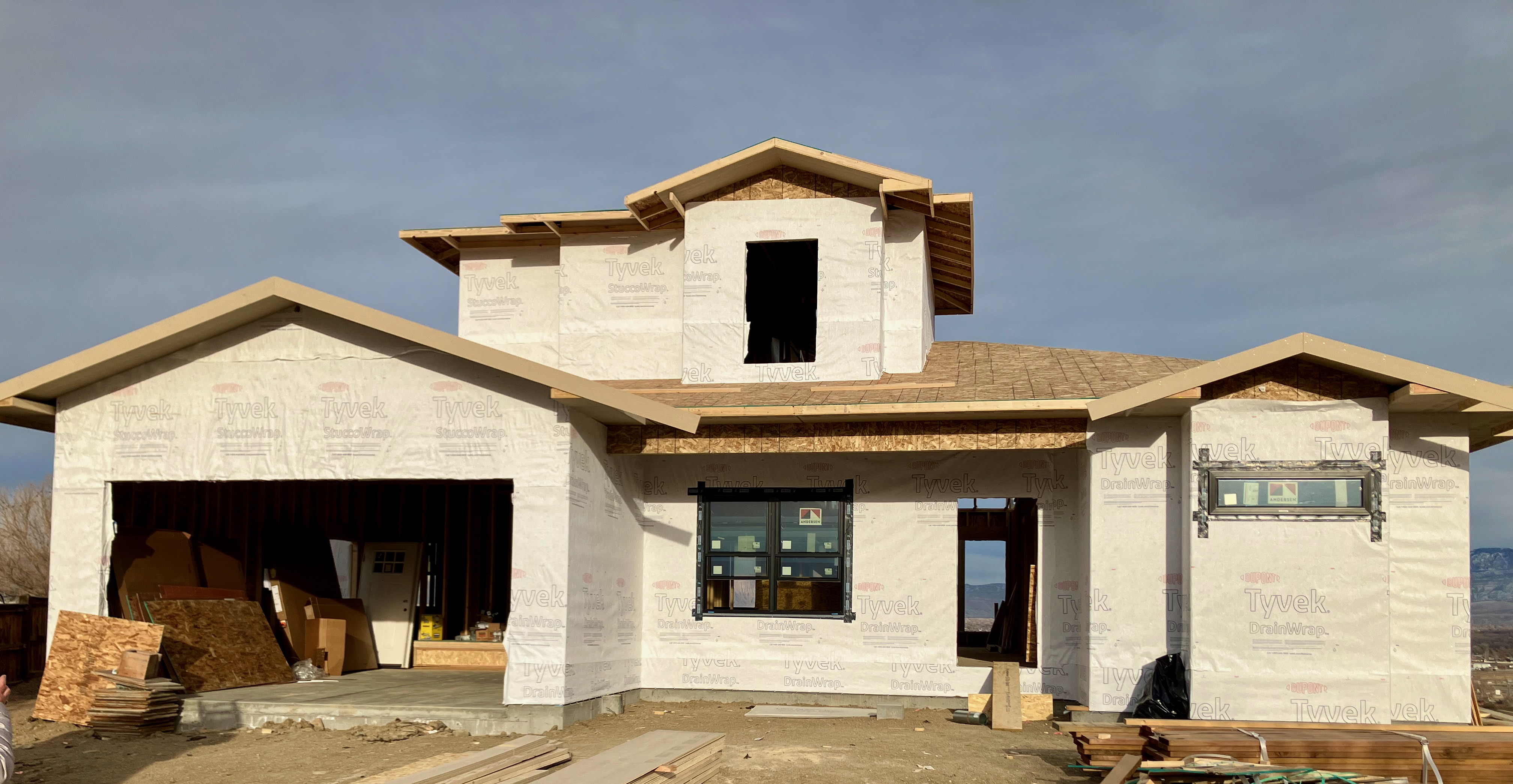
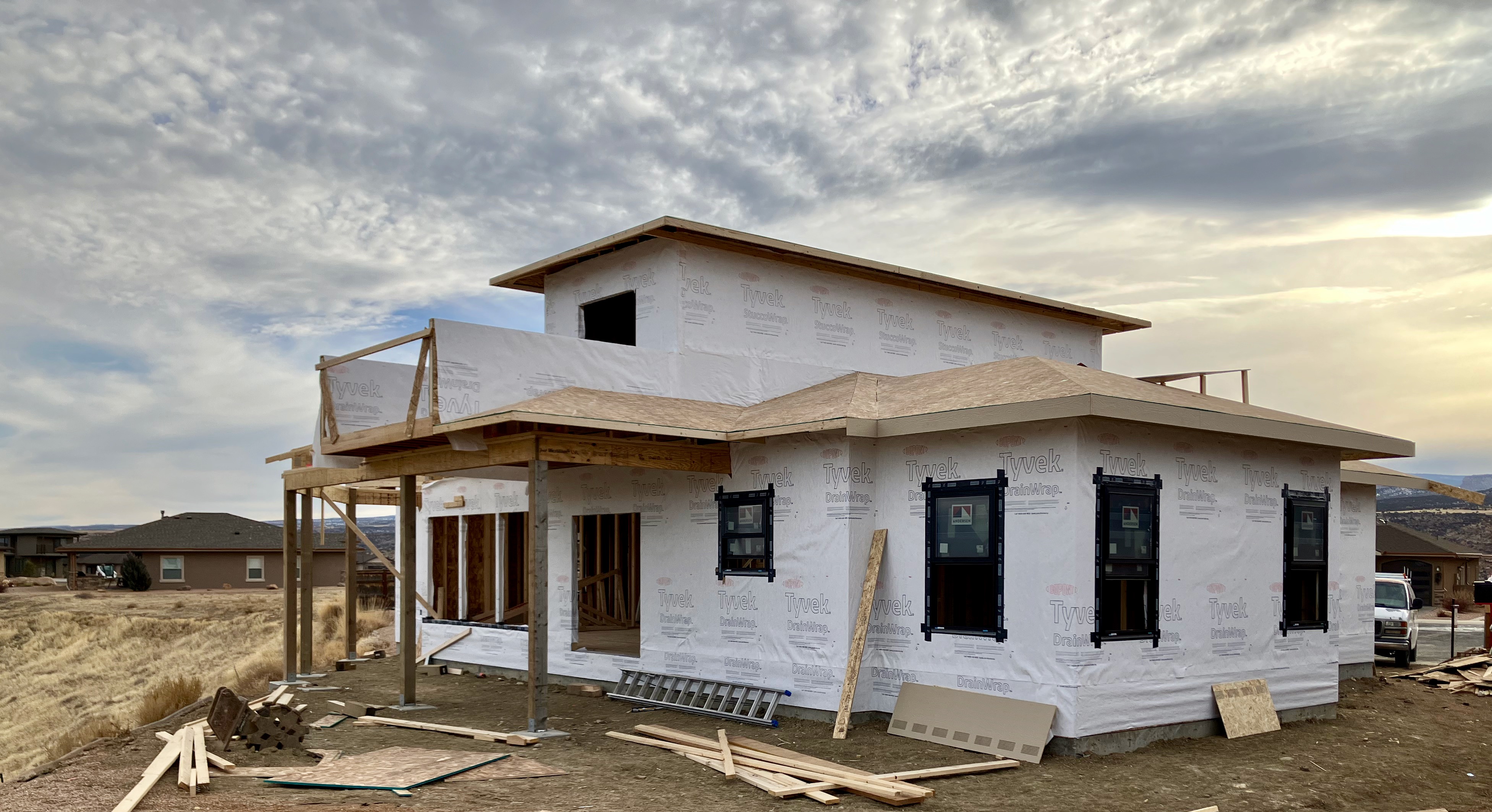
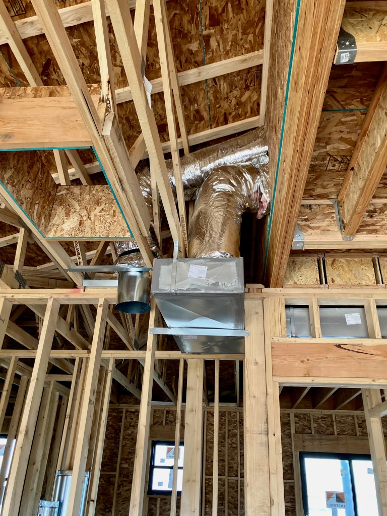
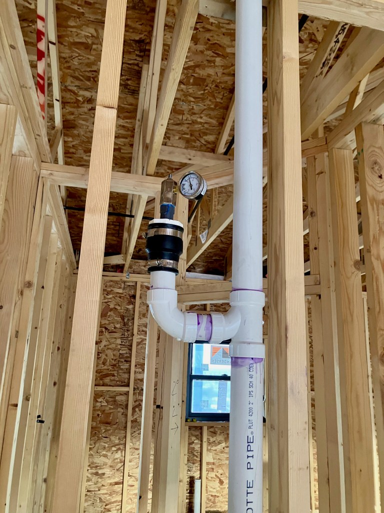
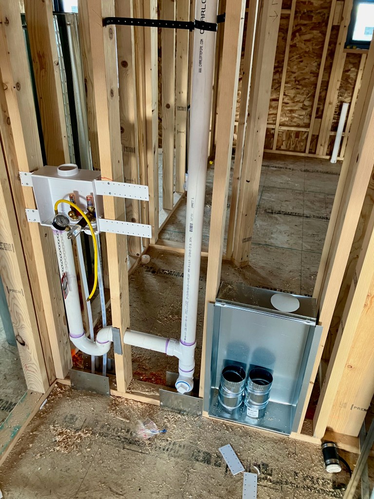
Construction
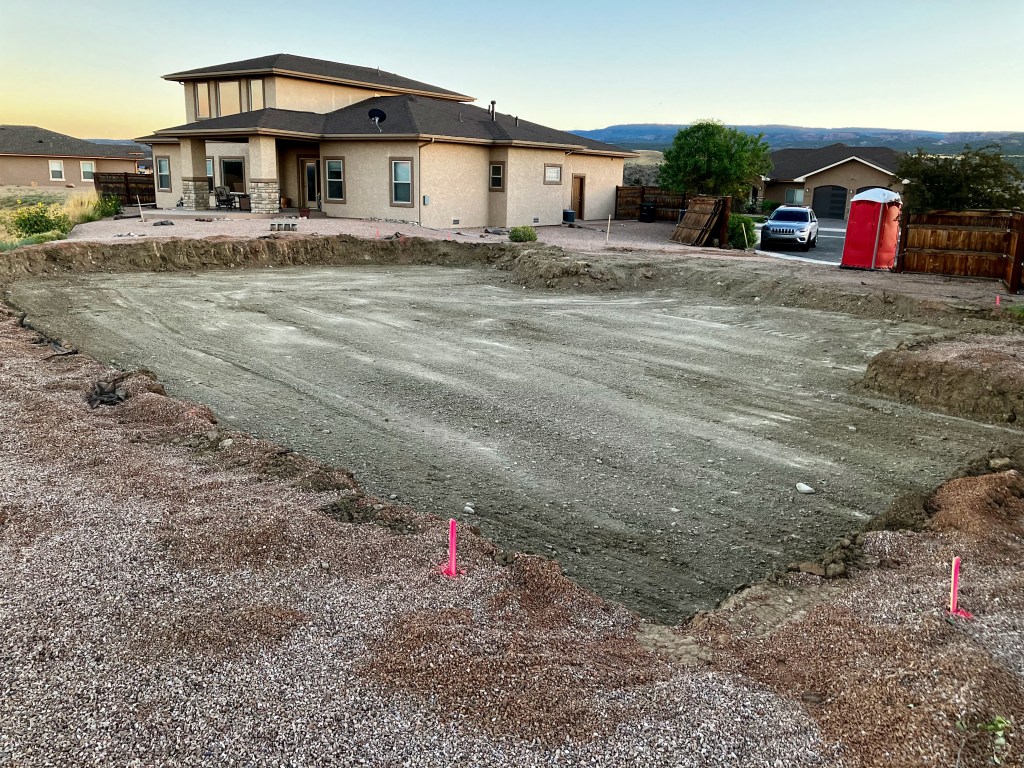
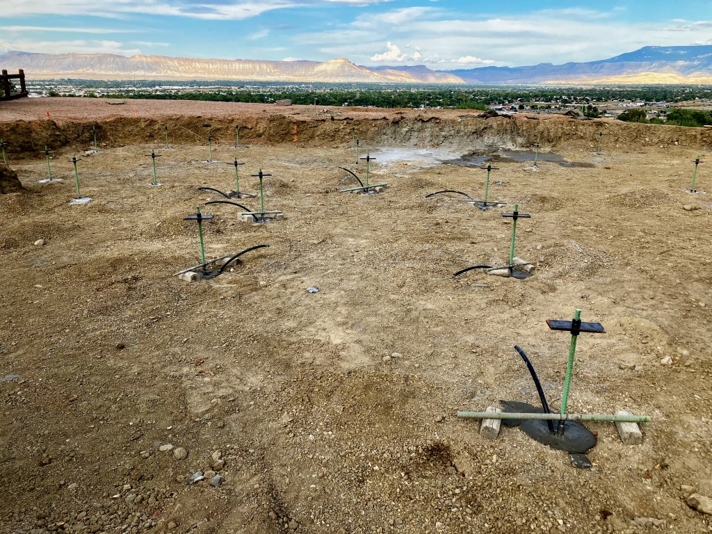
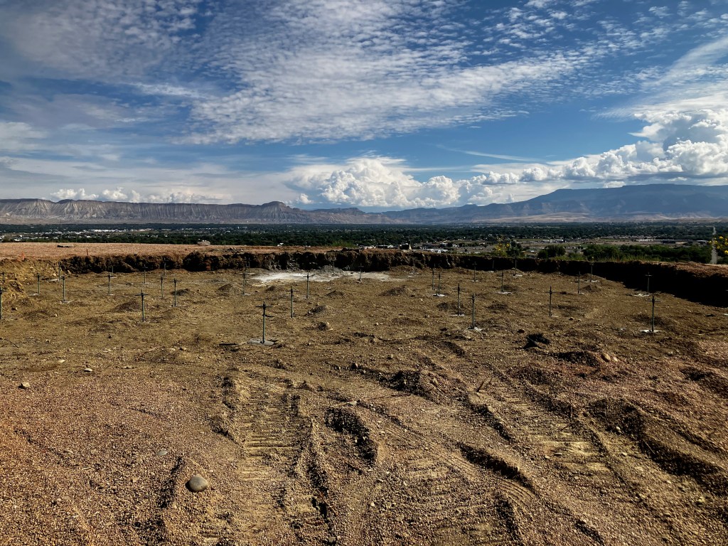
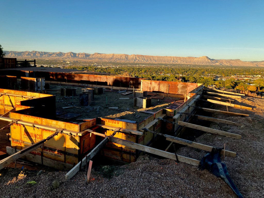
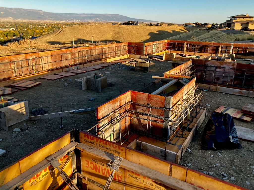
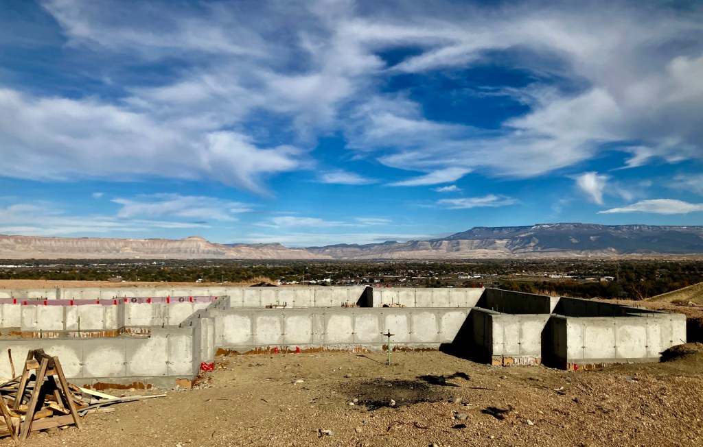
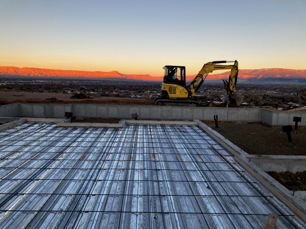
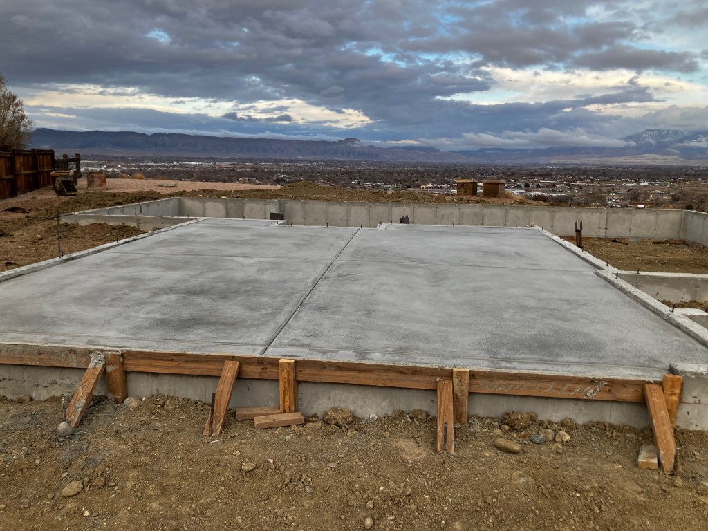
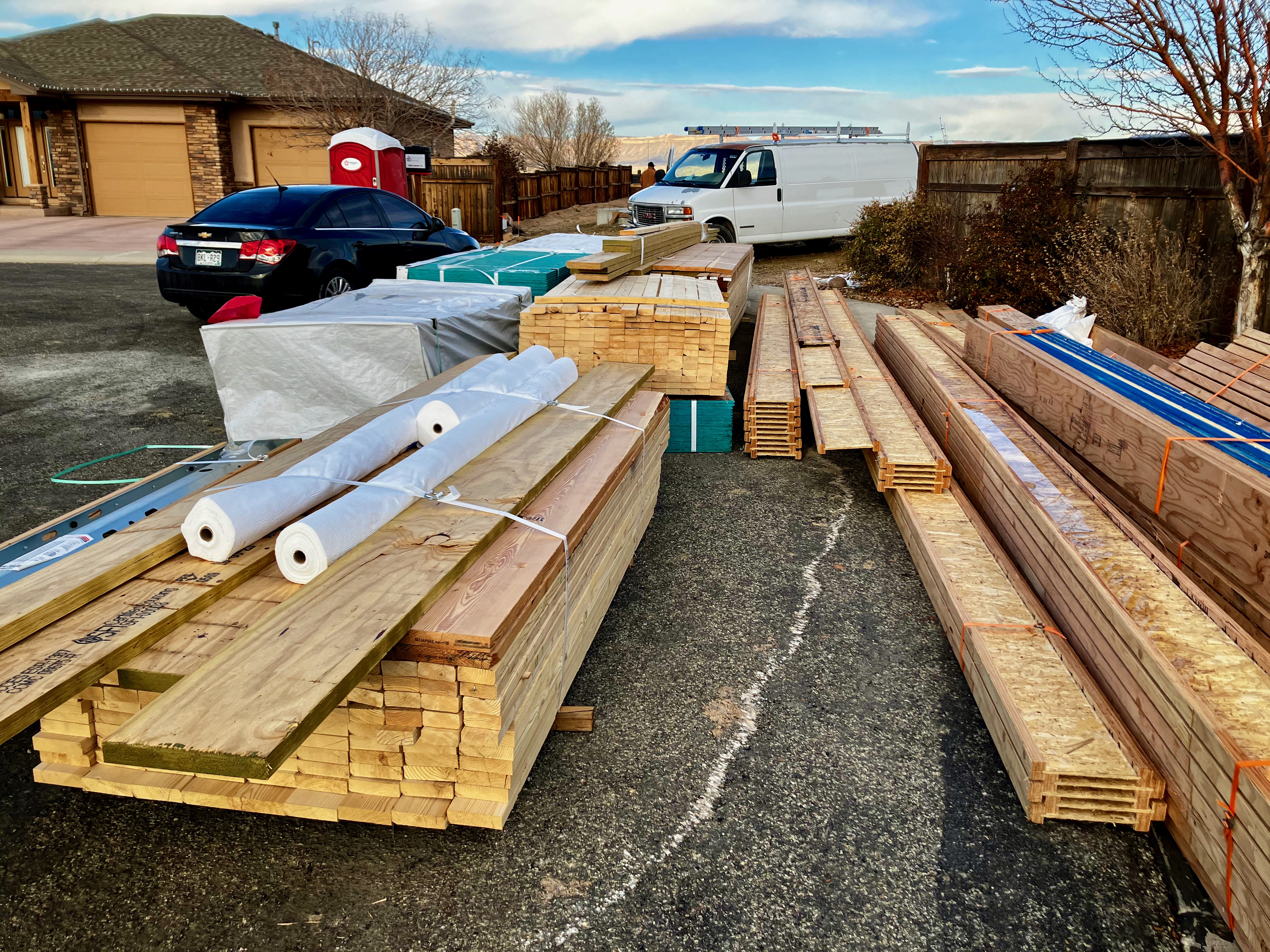
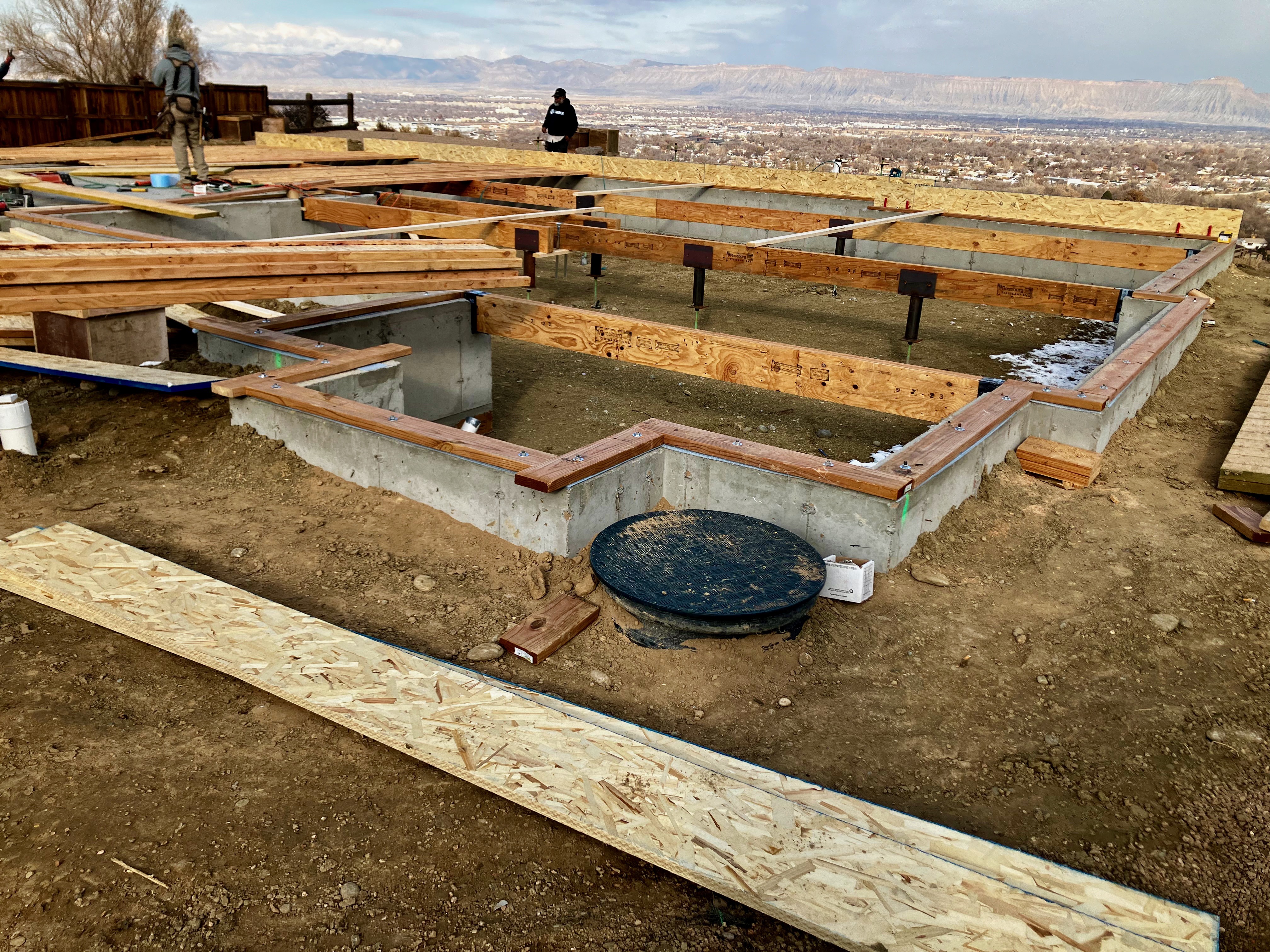
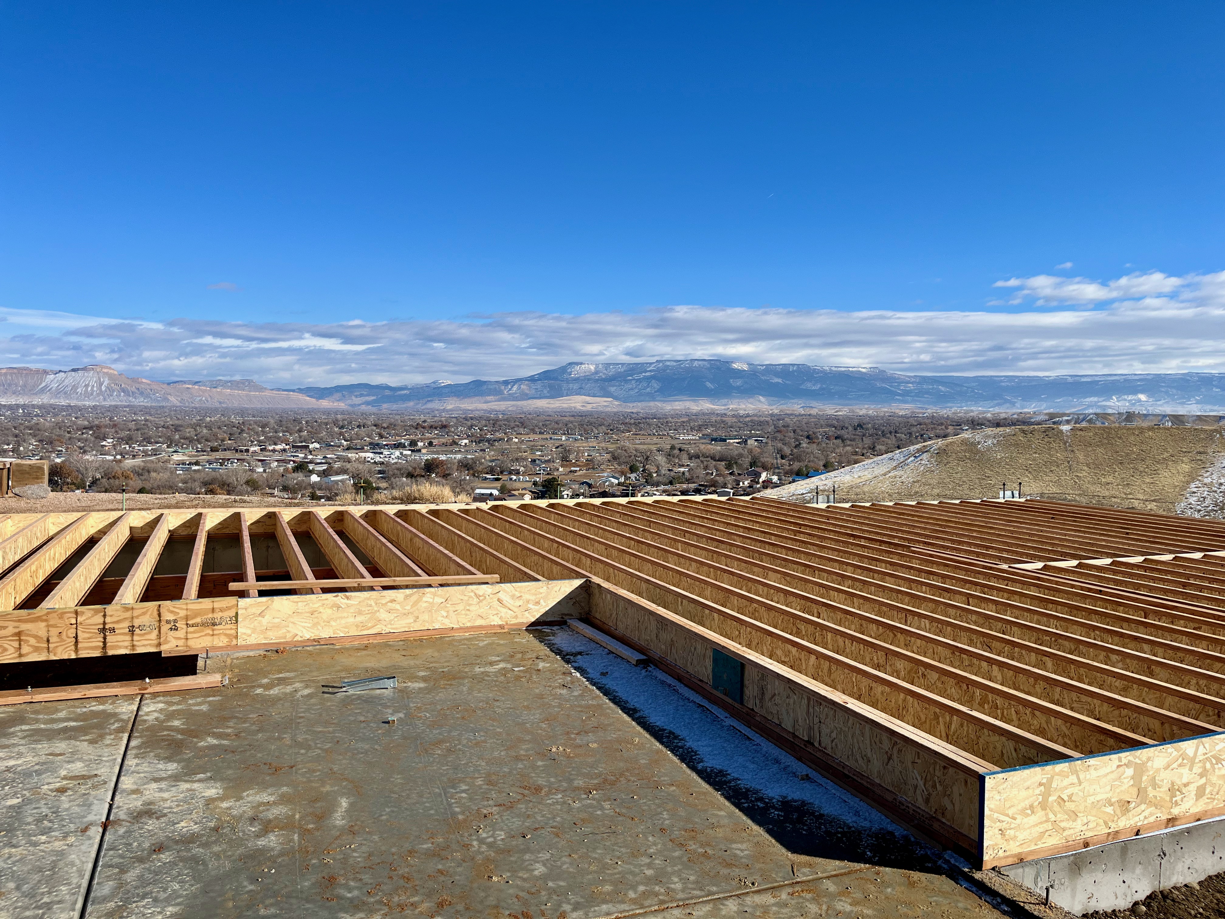
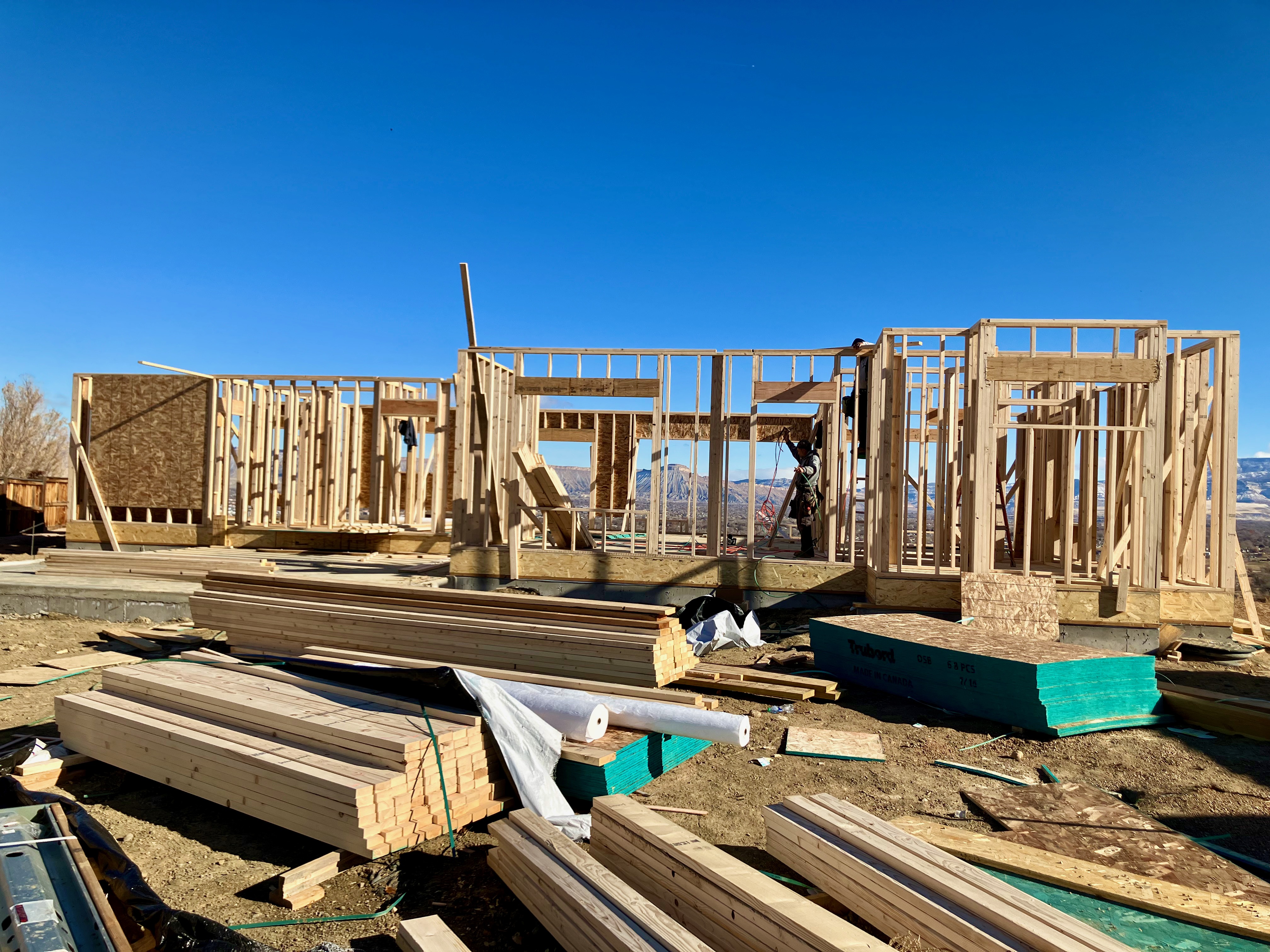
Construction Updates, construction began the week of August 28, 2023. Micropiles were completed on 9/14, there are 41 30 ft micropiles. Foundation was poured on Halloween. Framing began on November 29, 2023.
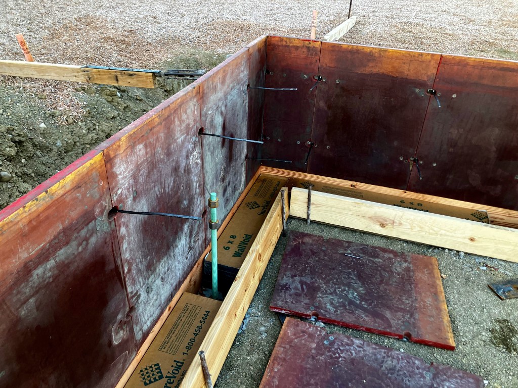
Foundation
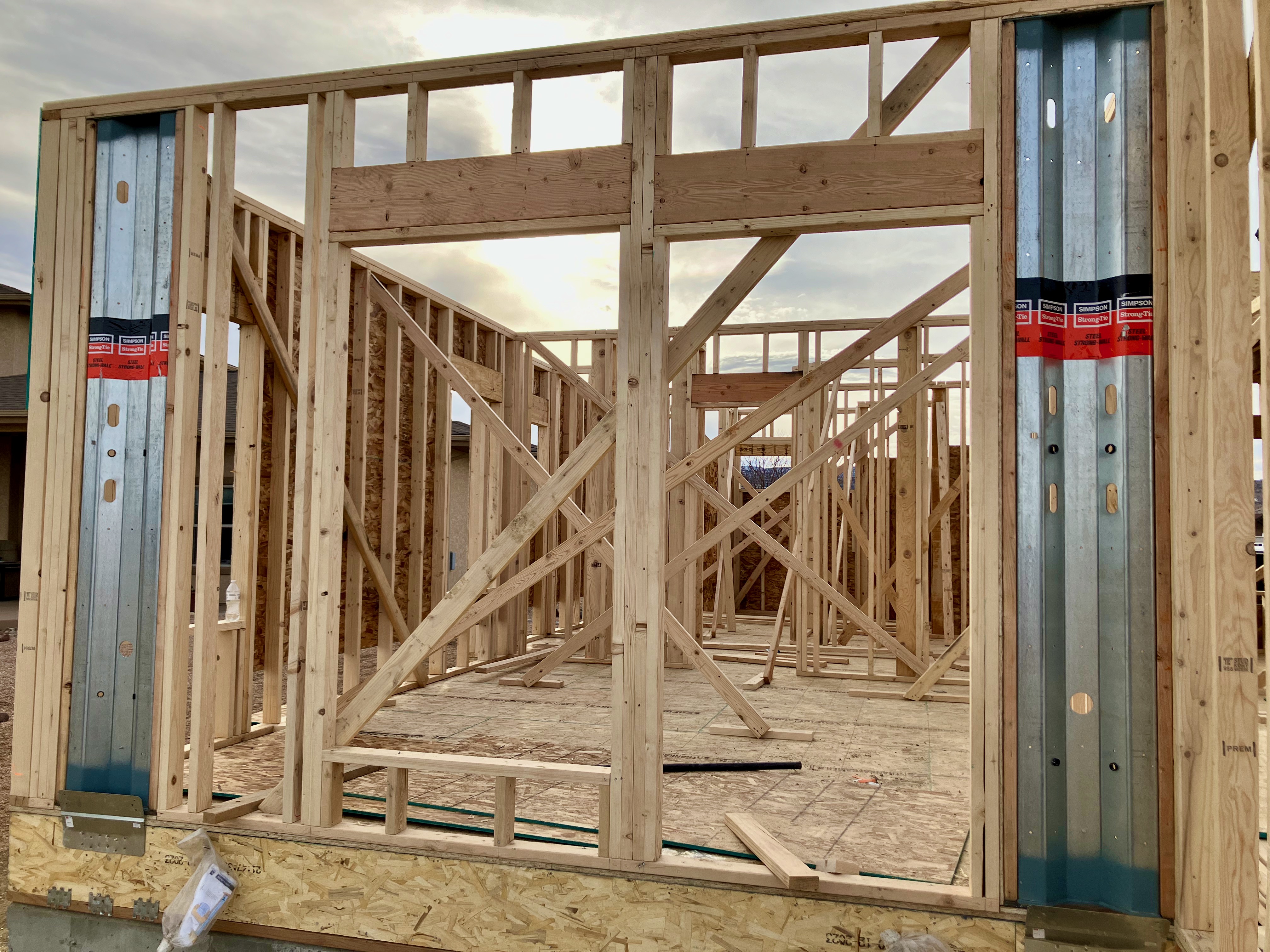
Framing
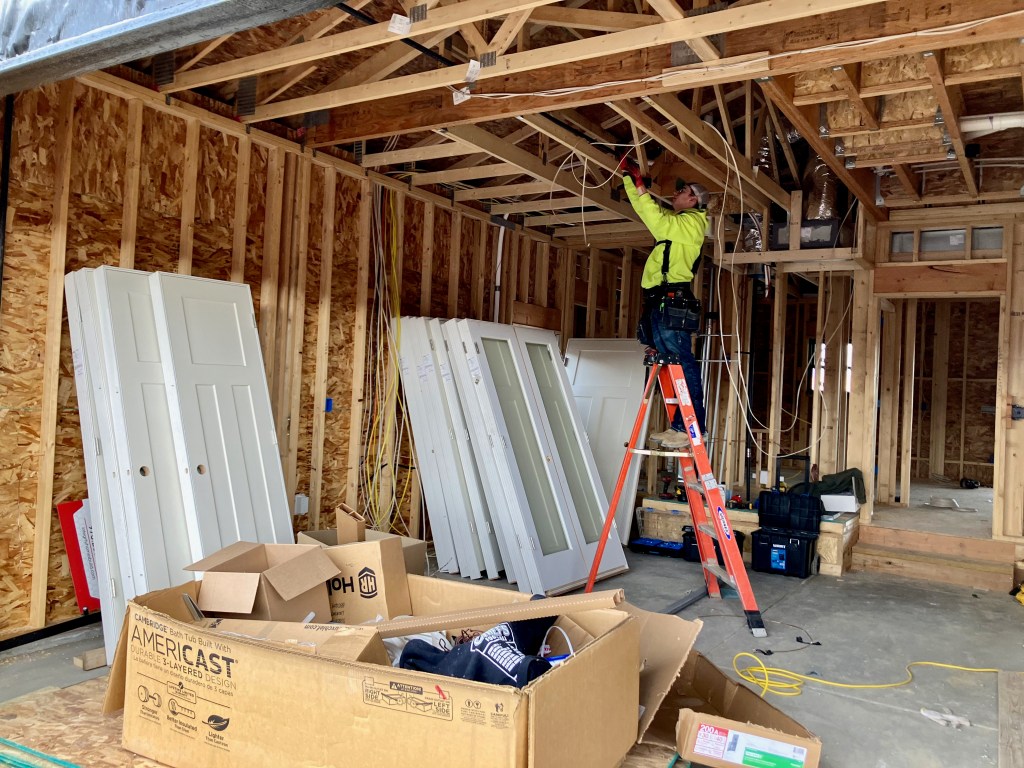
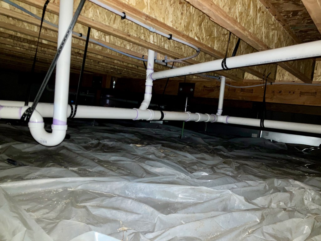
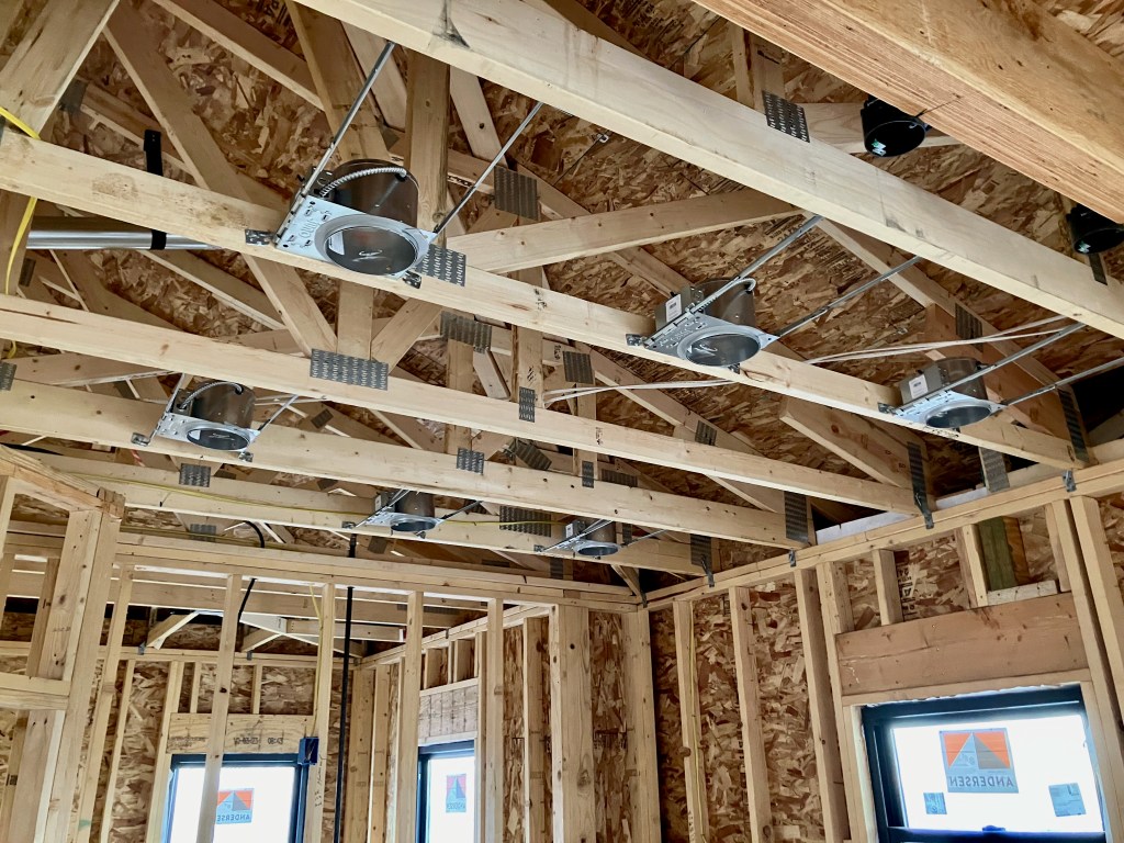
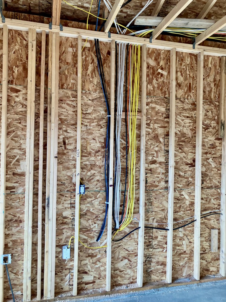
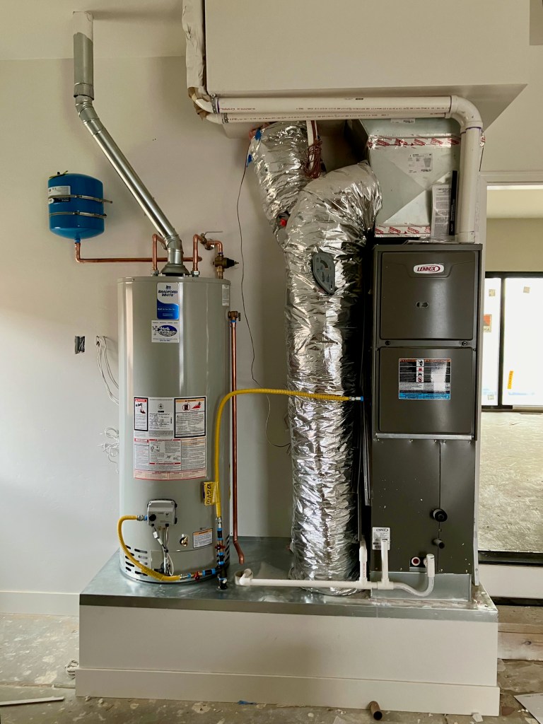
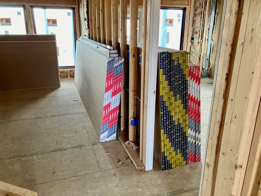
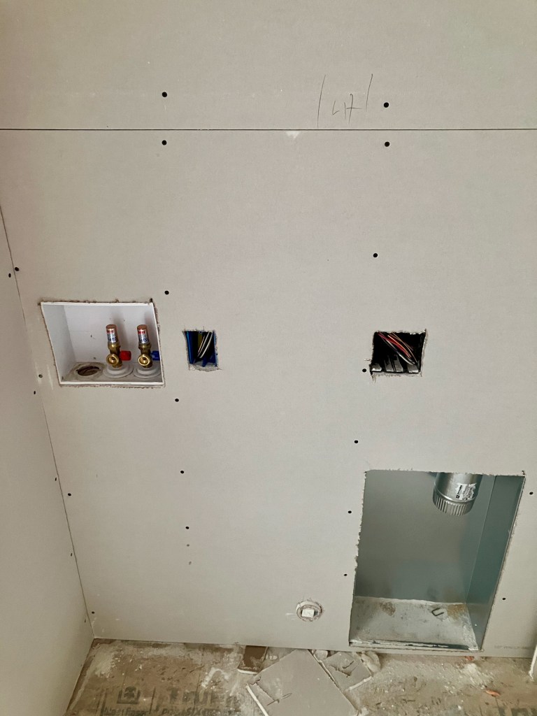
Plumbing, Gas & HVAC
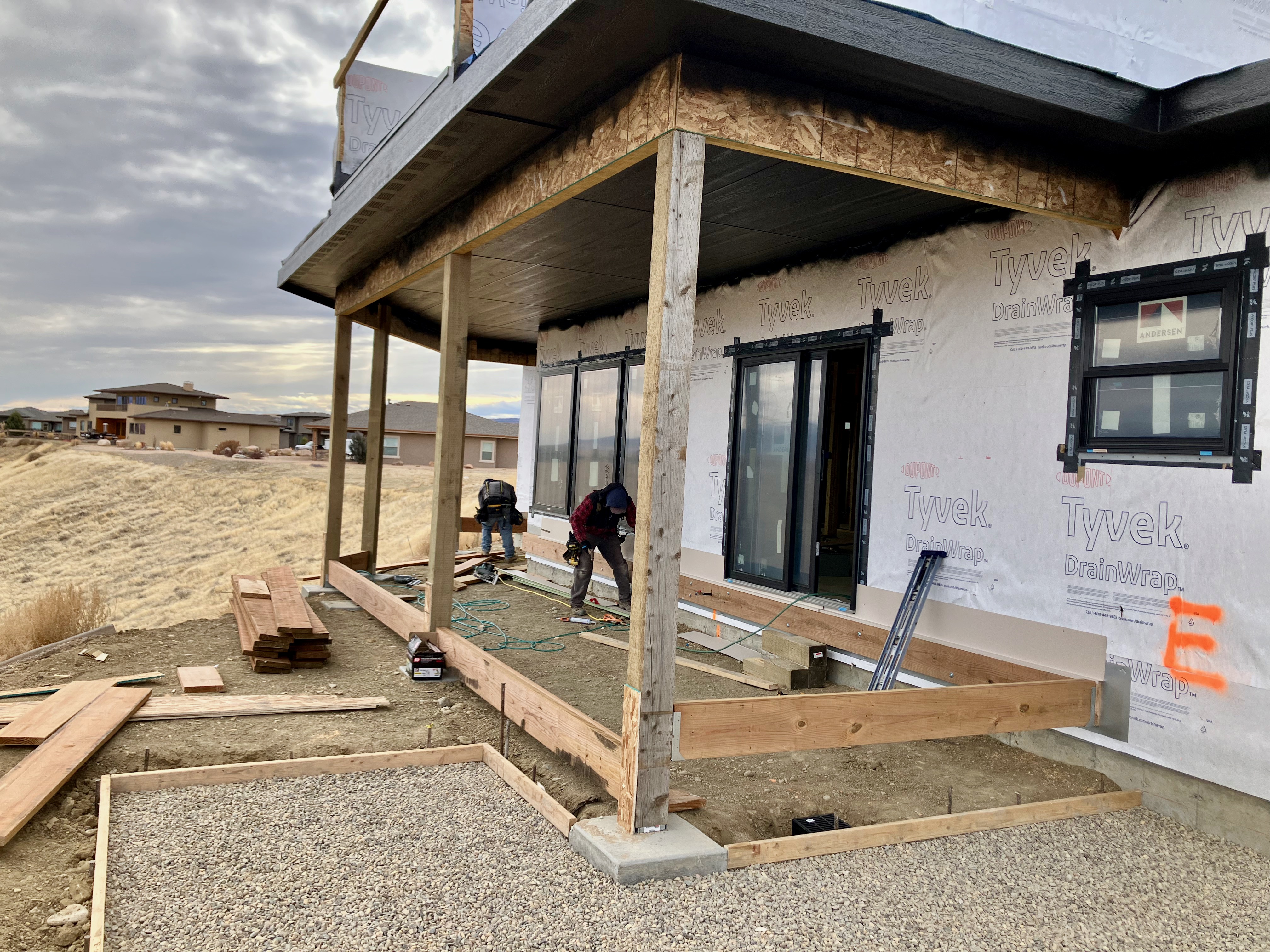
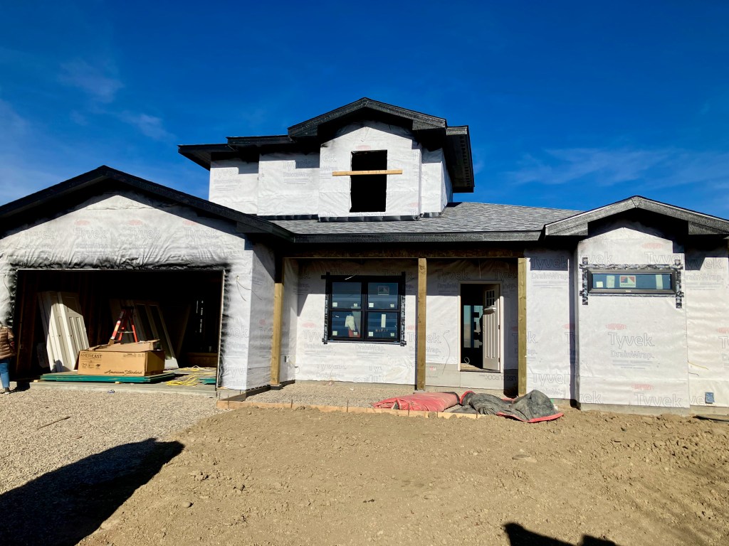
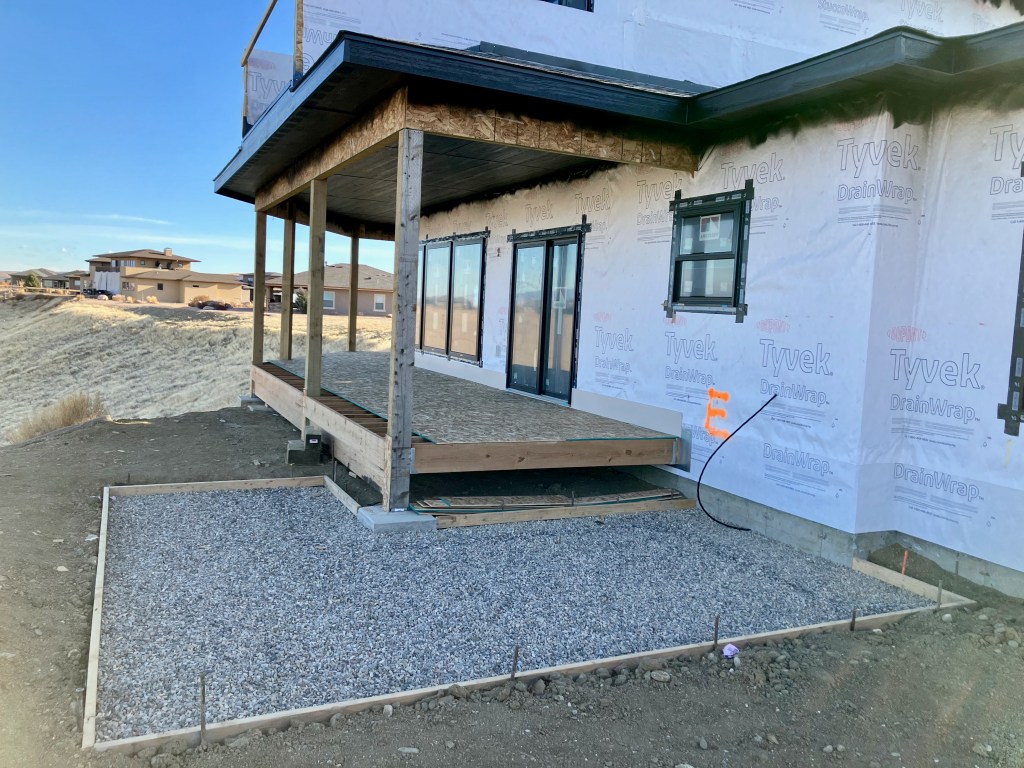
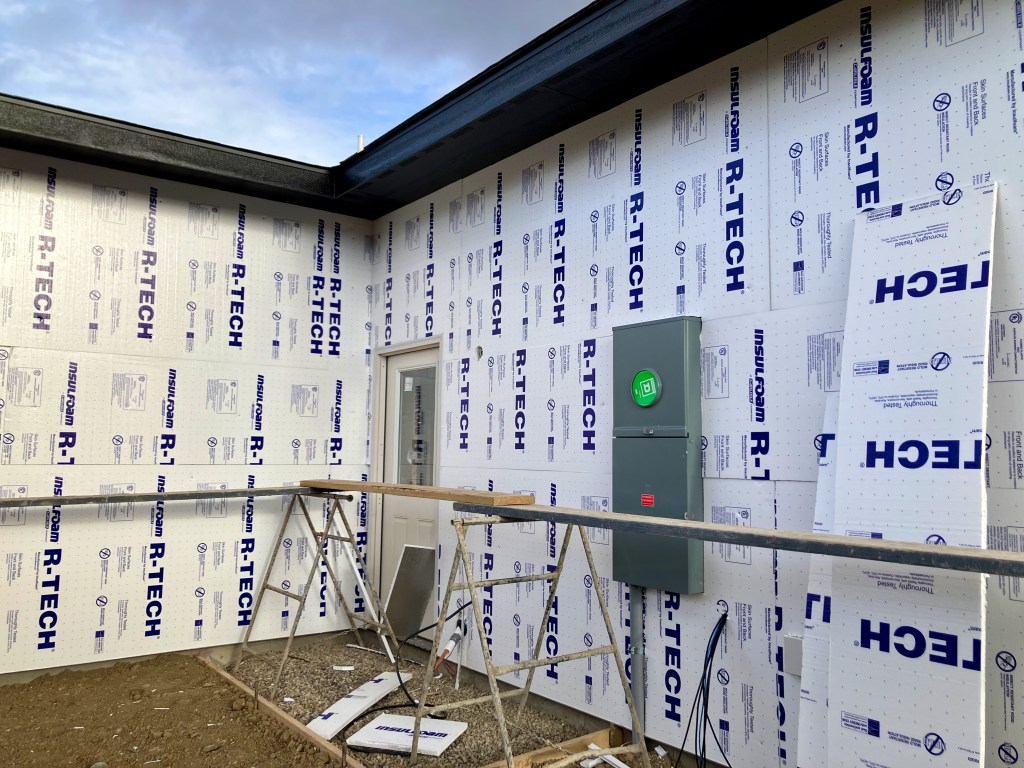
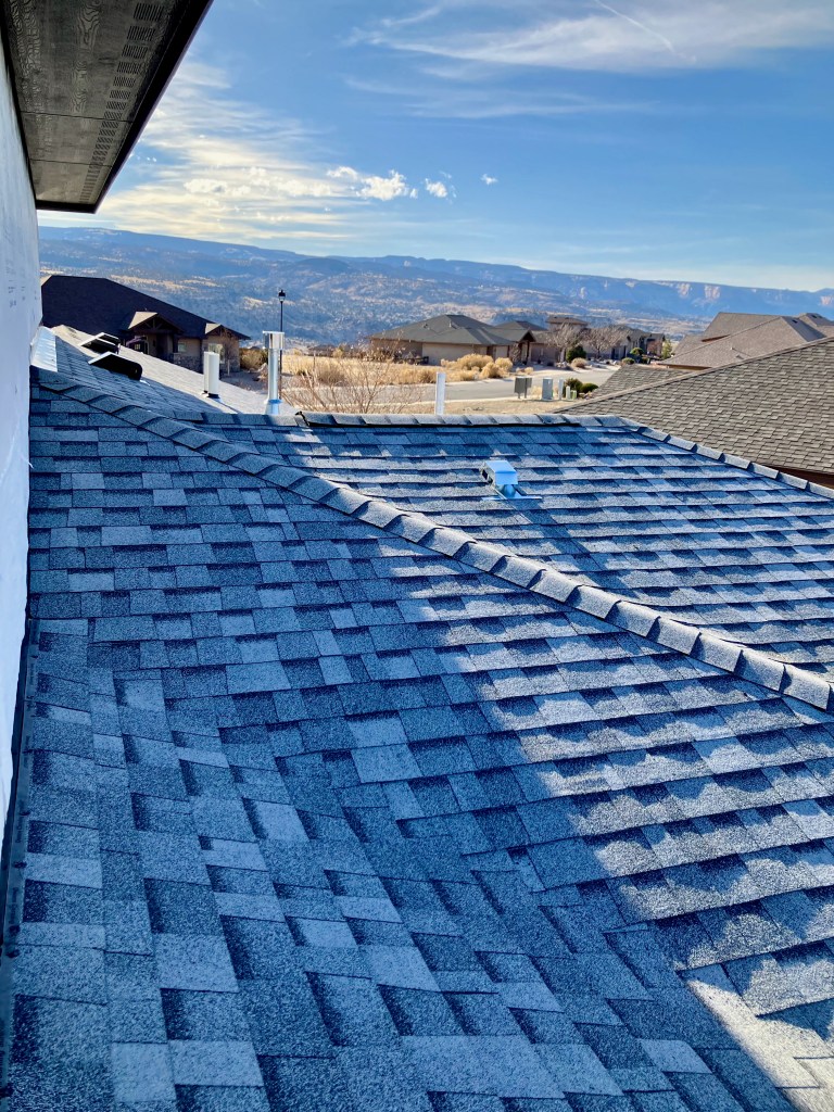
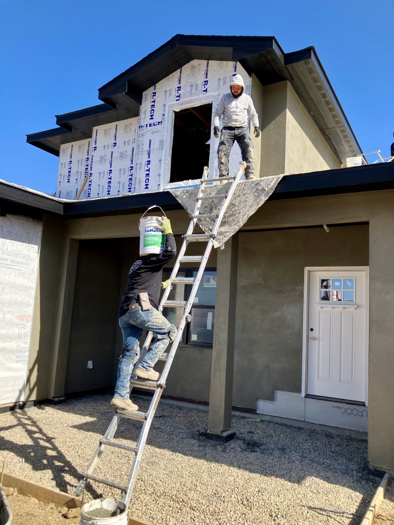
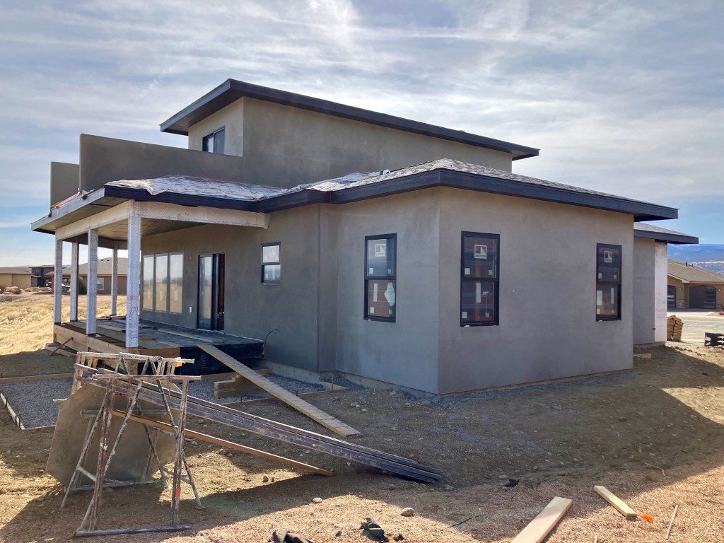
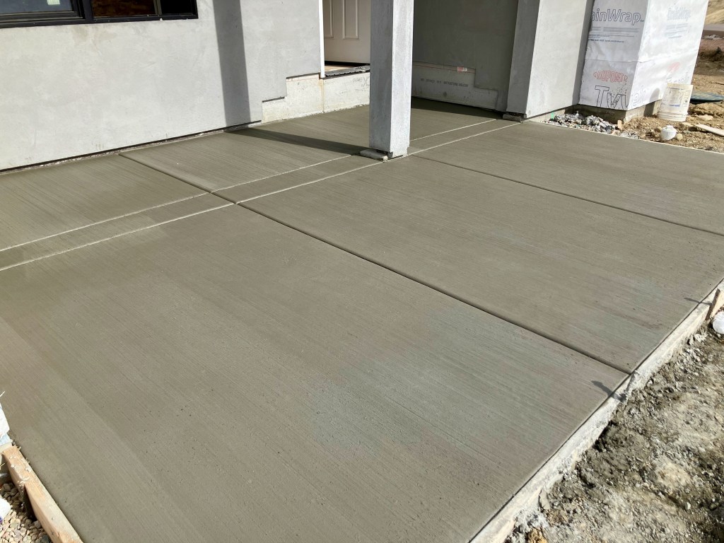
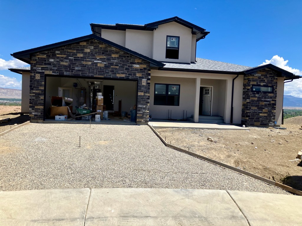
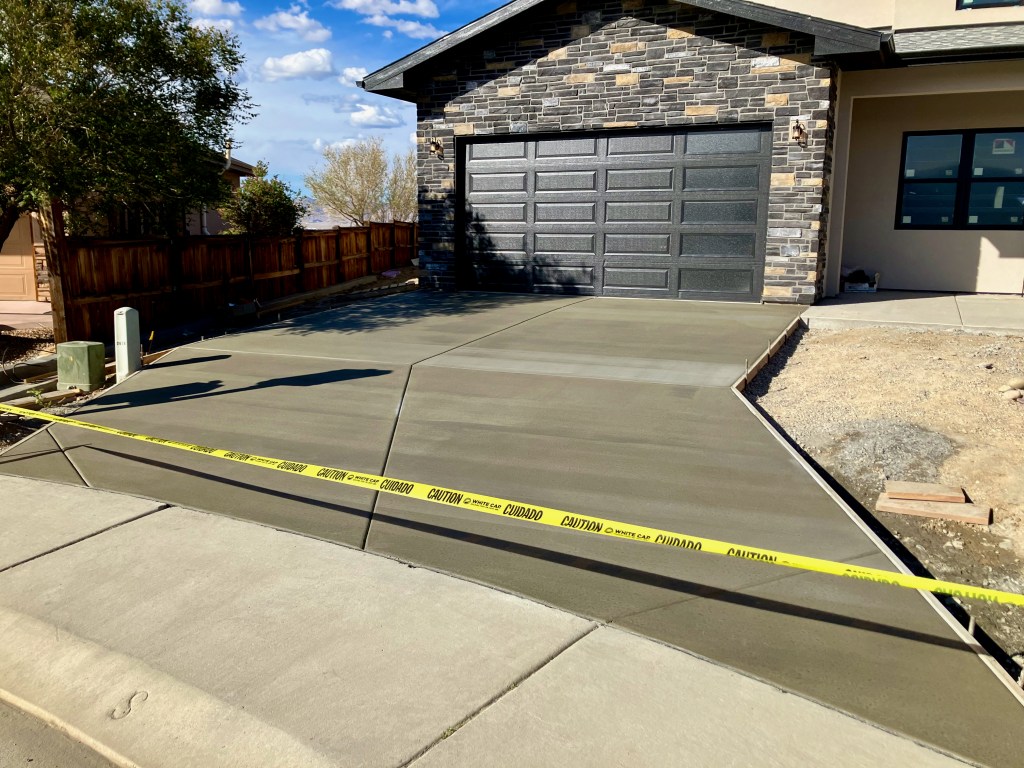
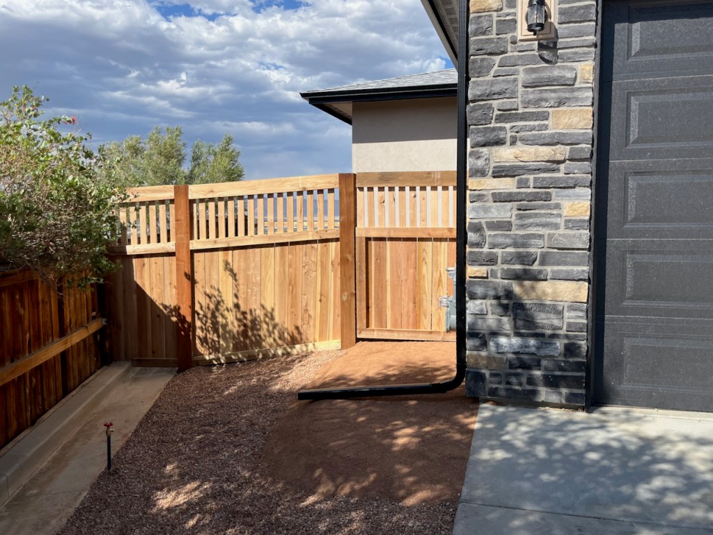
Exterior
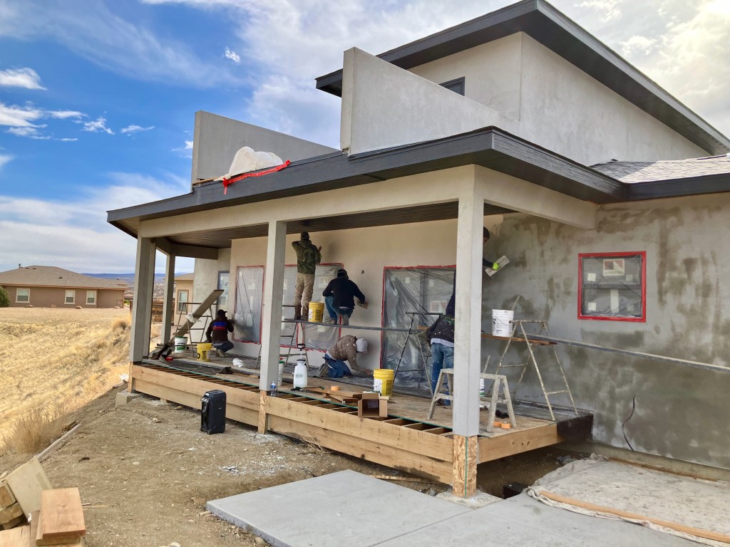
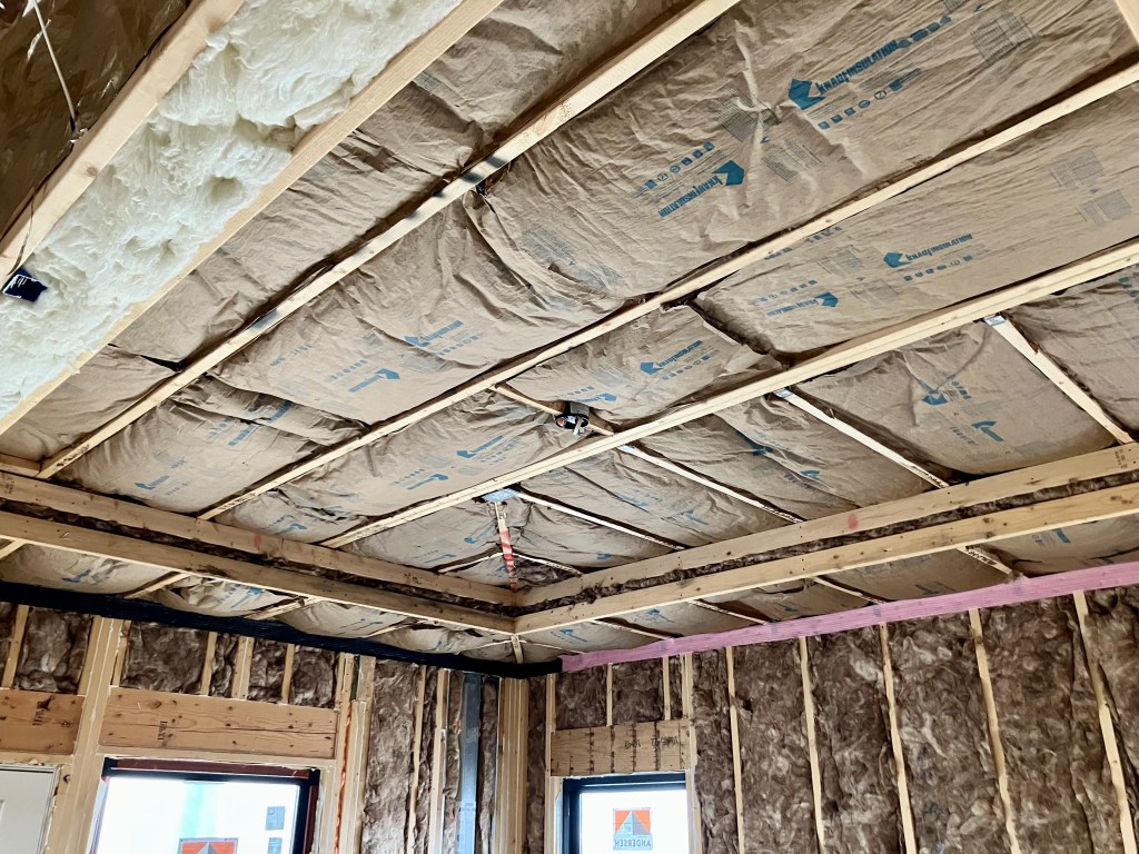
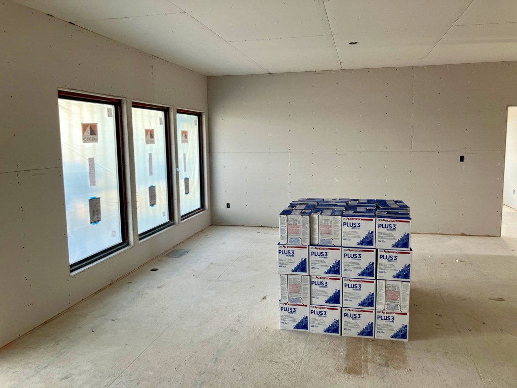
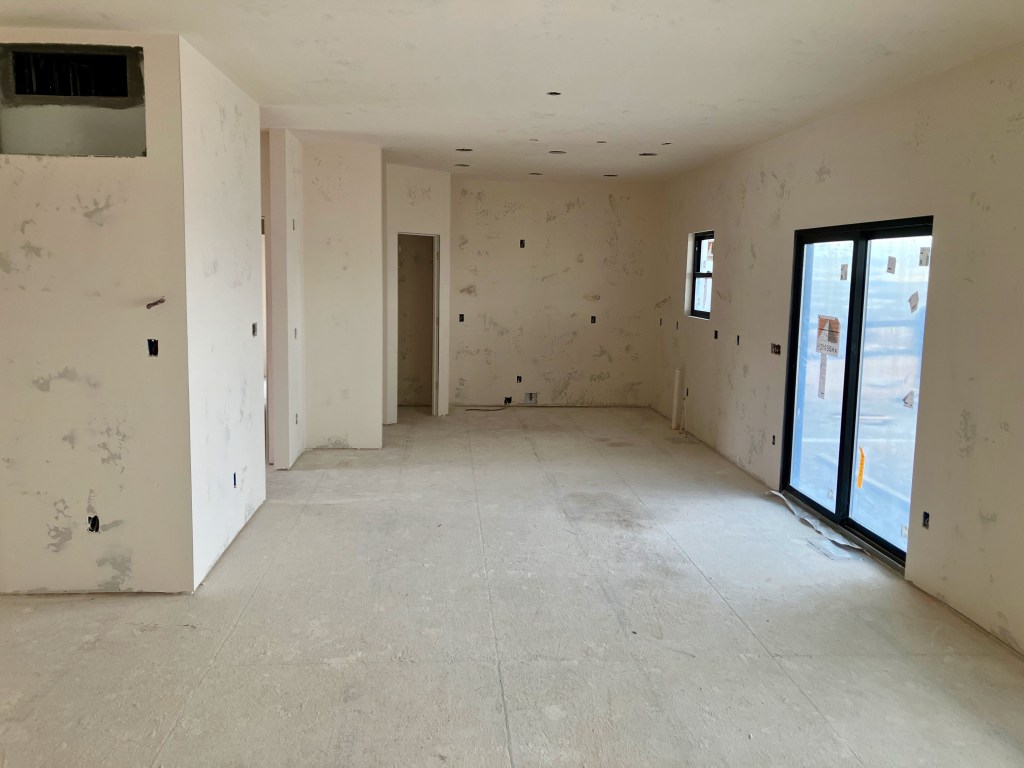
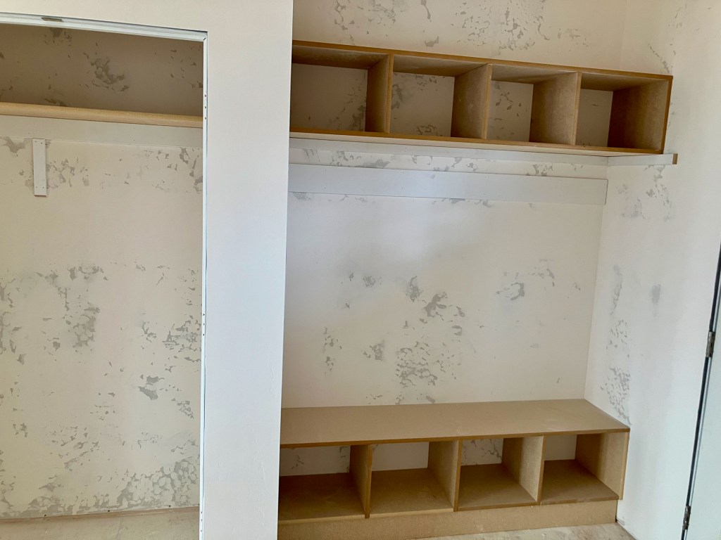
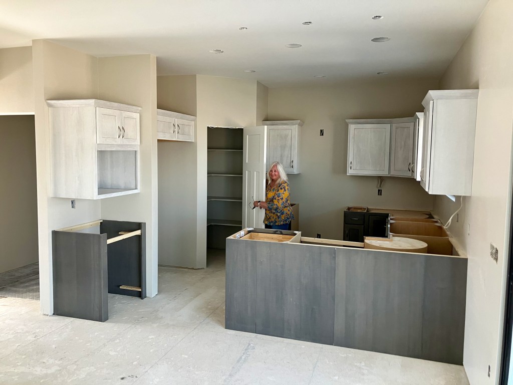
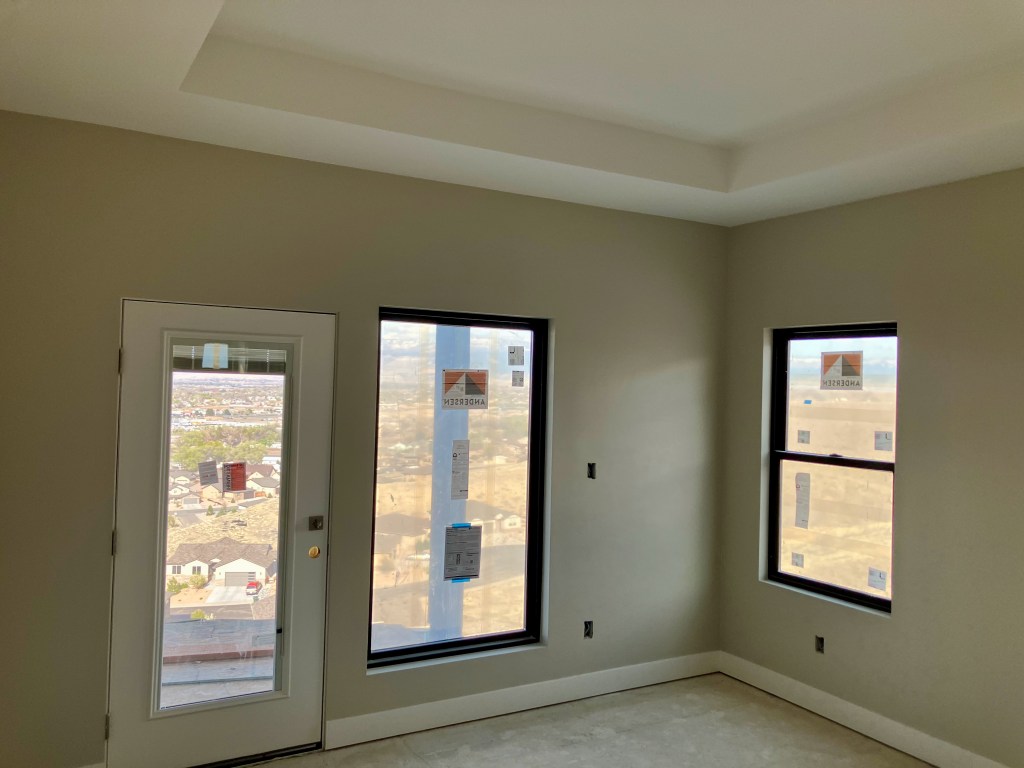
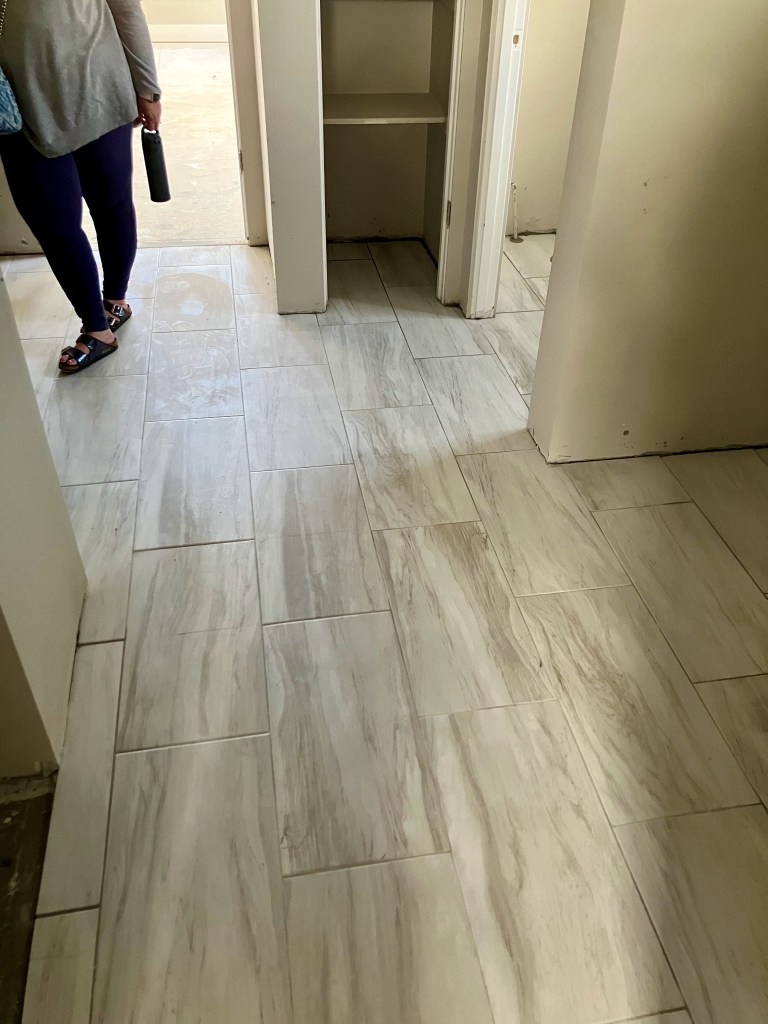
Interior

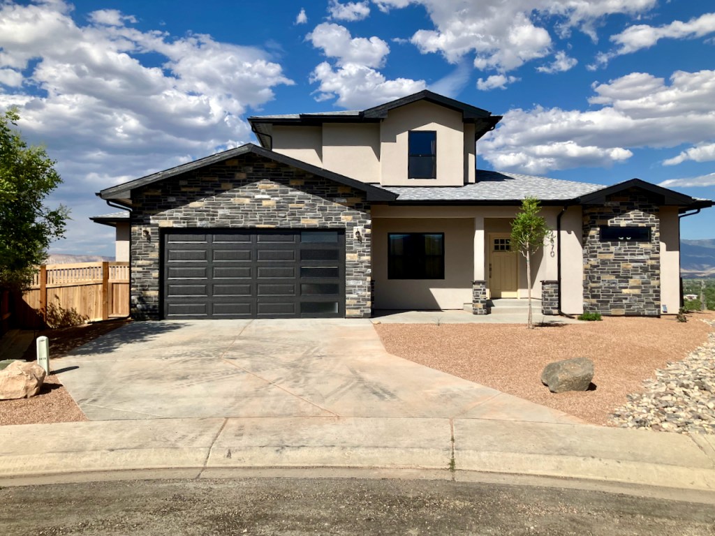
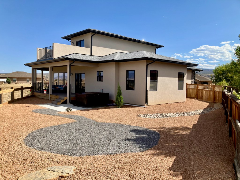
Finished House
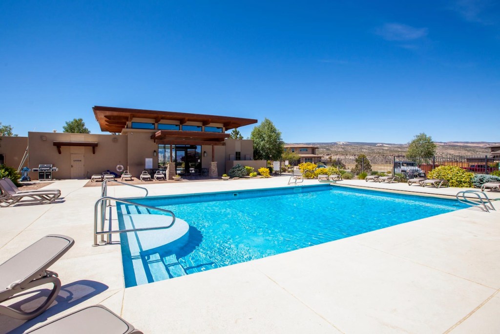
Subdivision
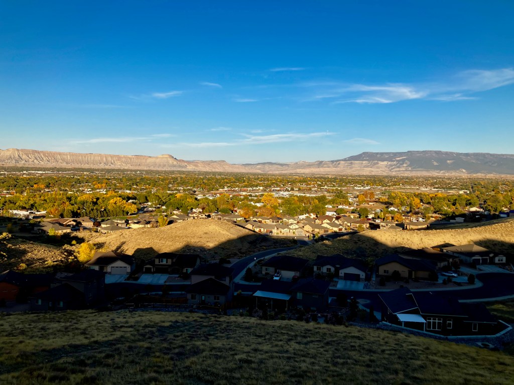
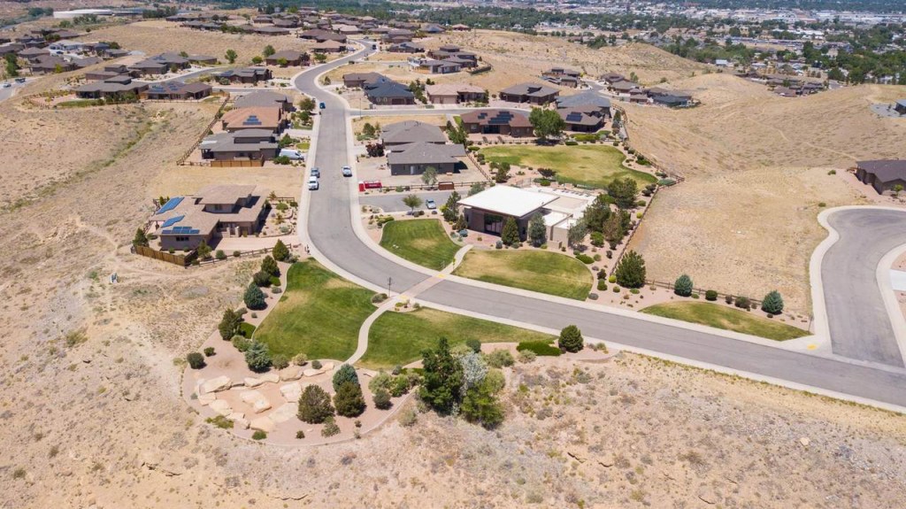
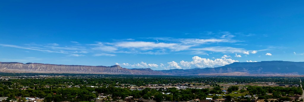
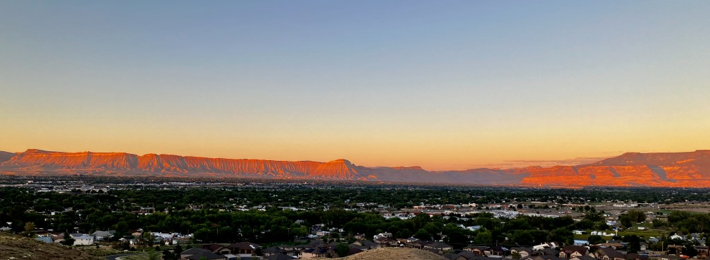
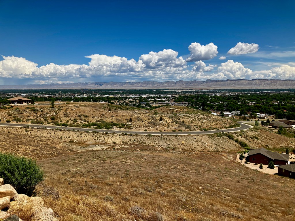
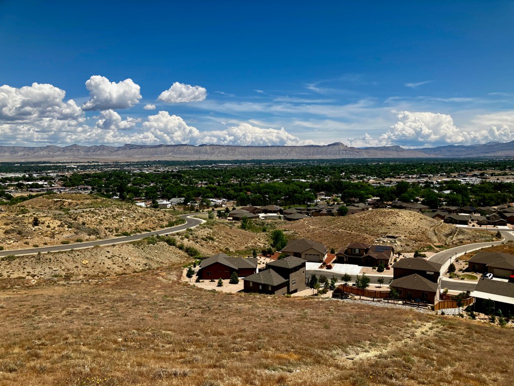
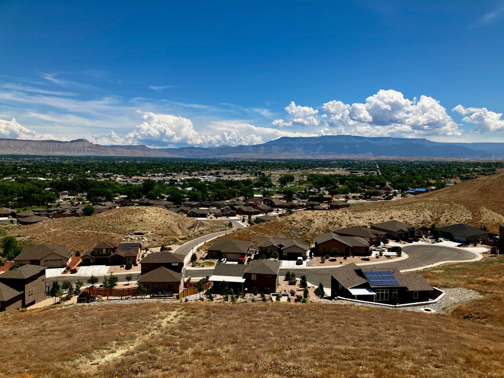
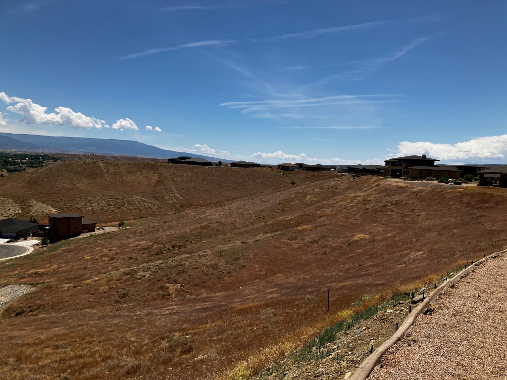
Views from our Lot NW, N, NE, E and South

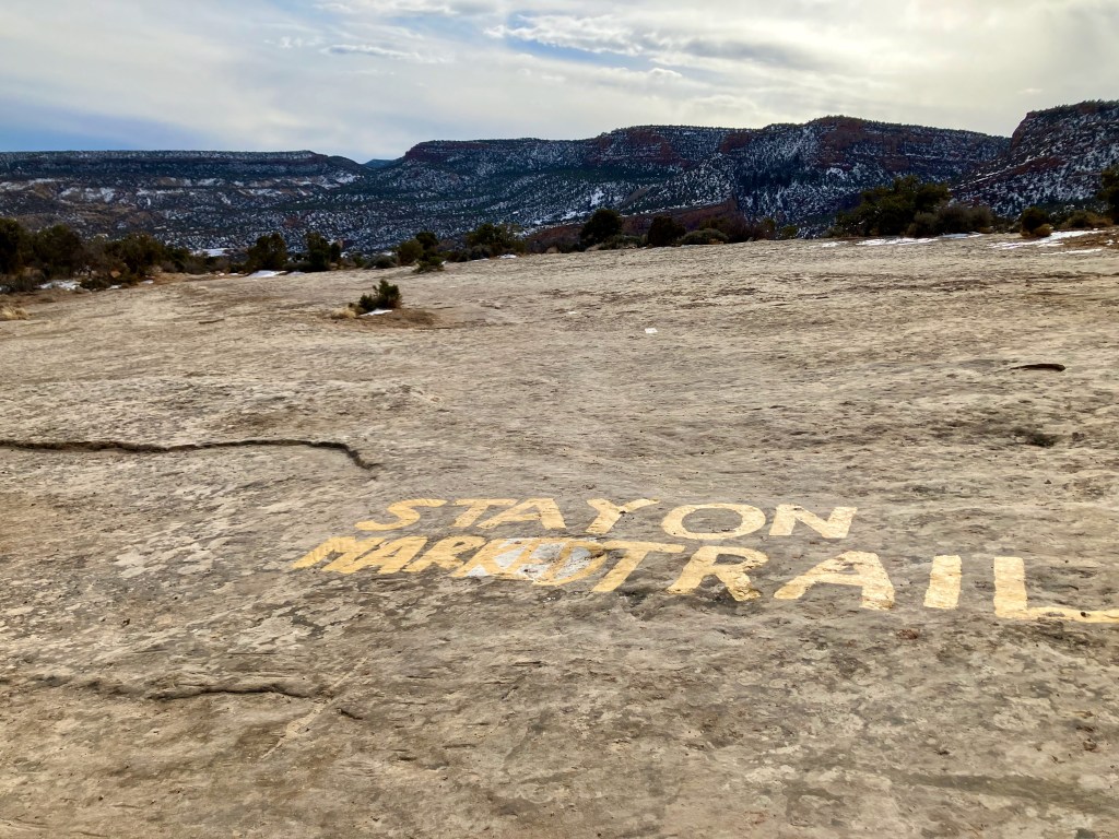
Hiking Trails
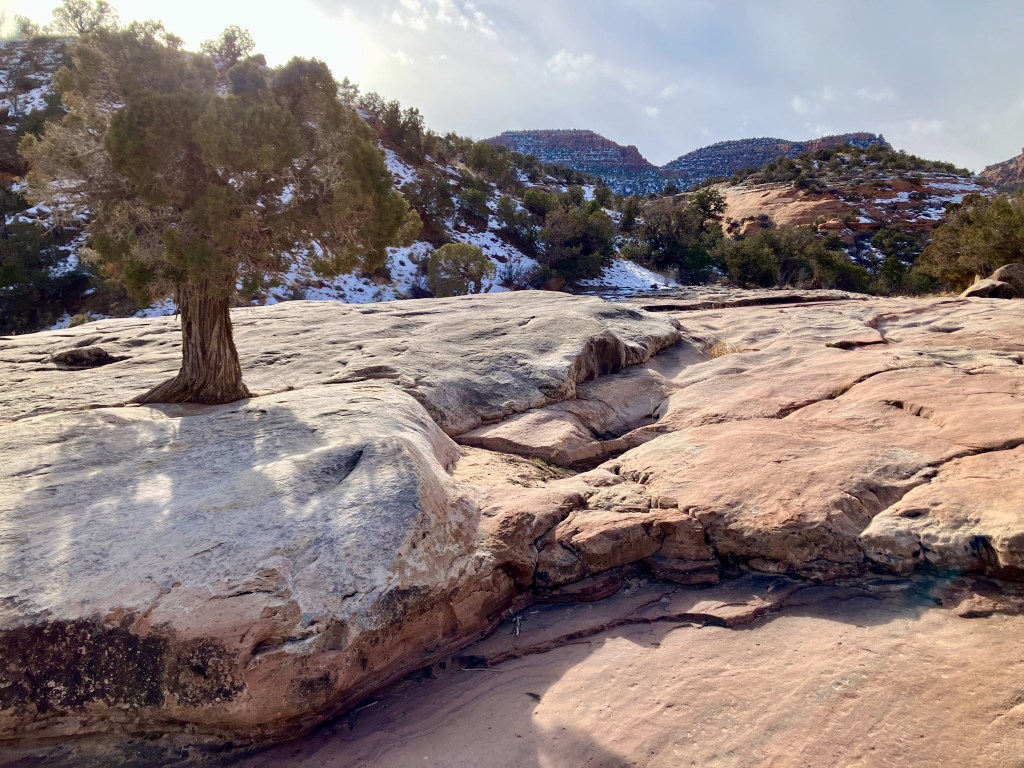
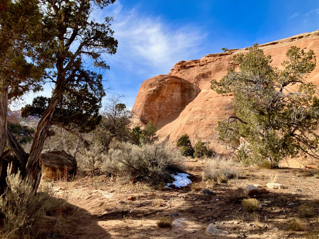
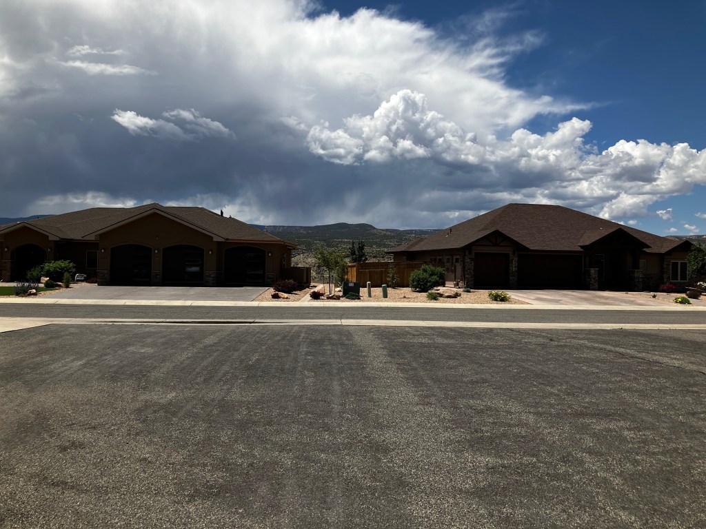
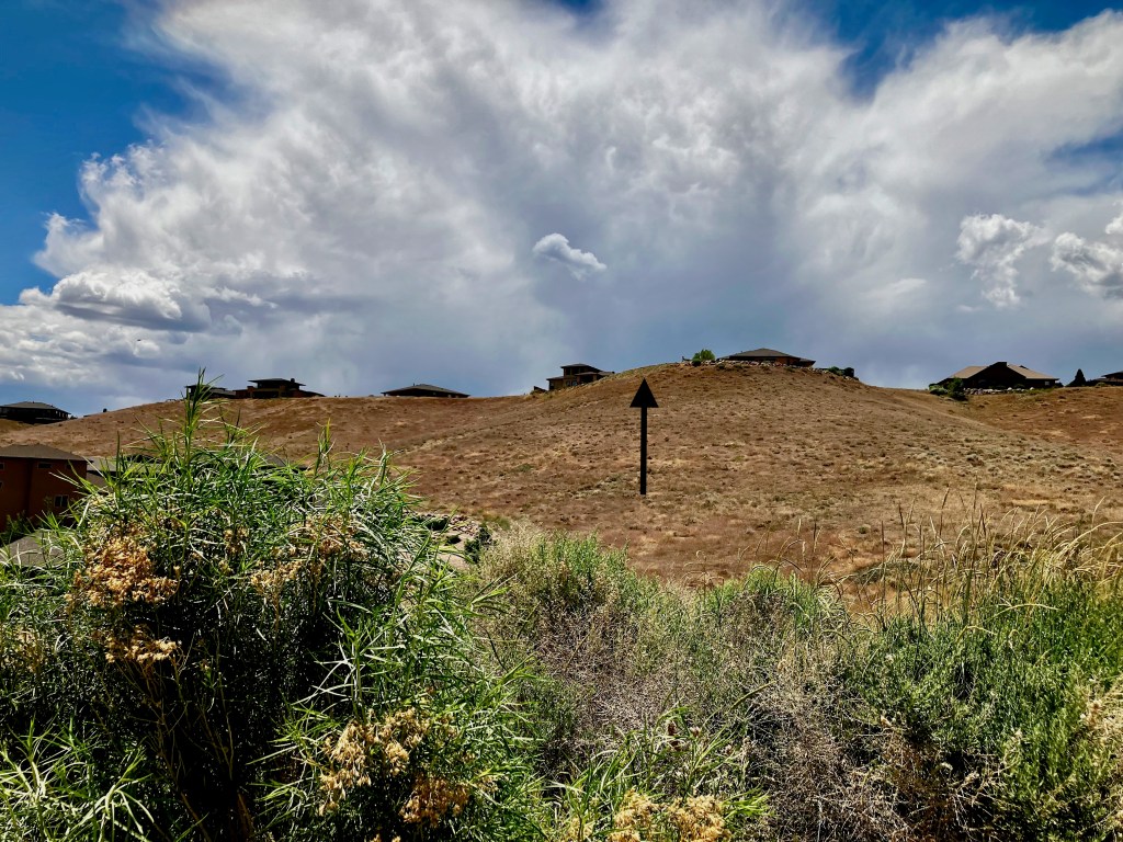
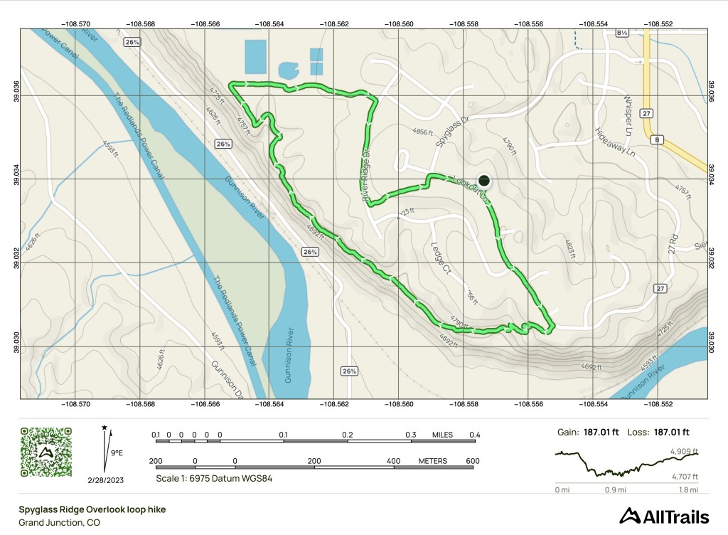
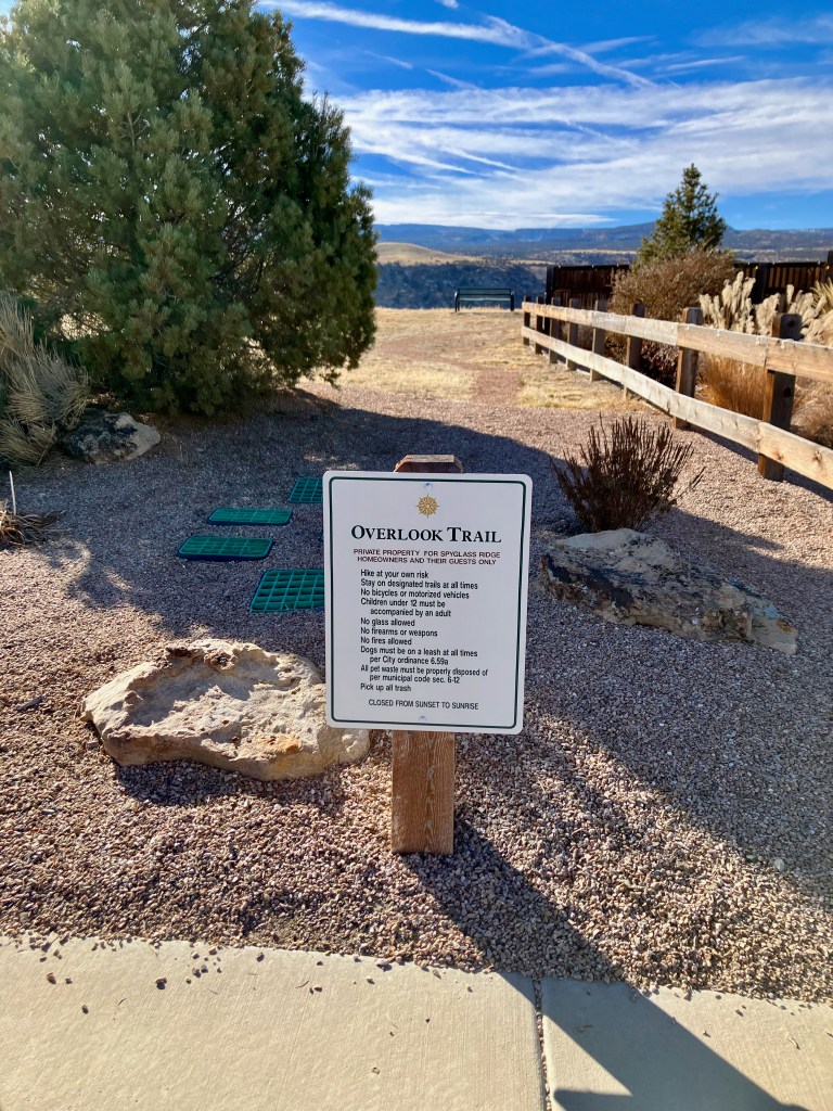
Spyglass Ridge has developed excellent hiking trails around the subdivision. Here are a couple of hikes I have documented from our house.
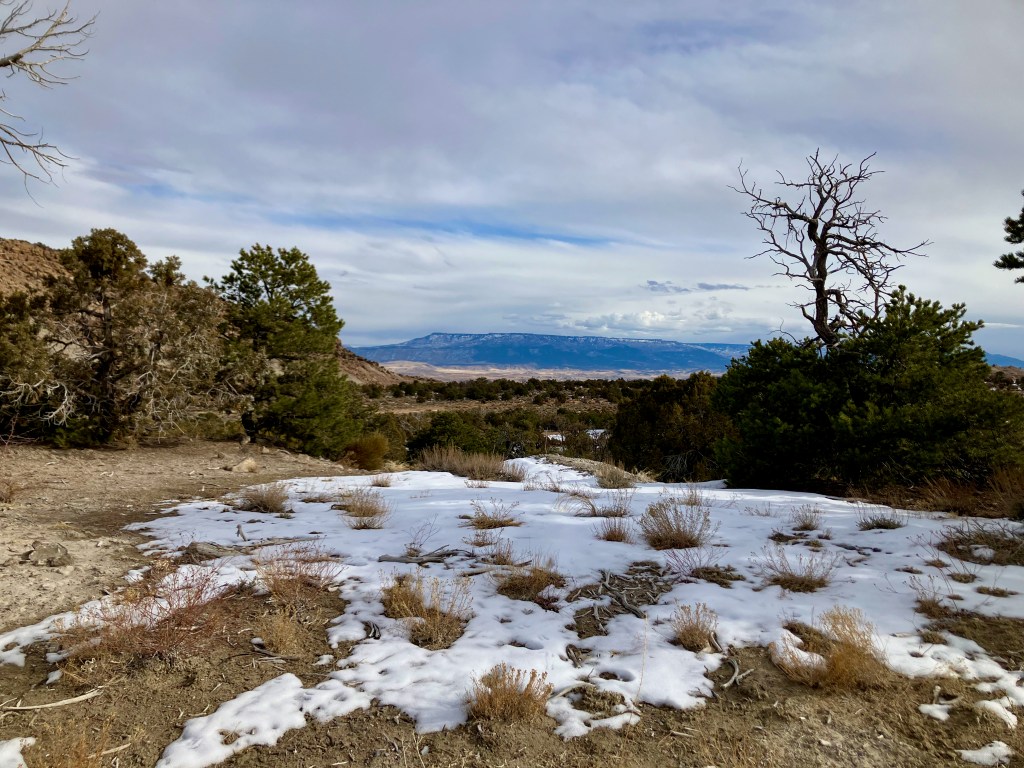
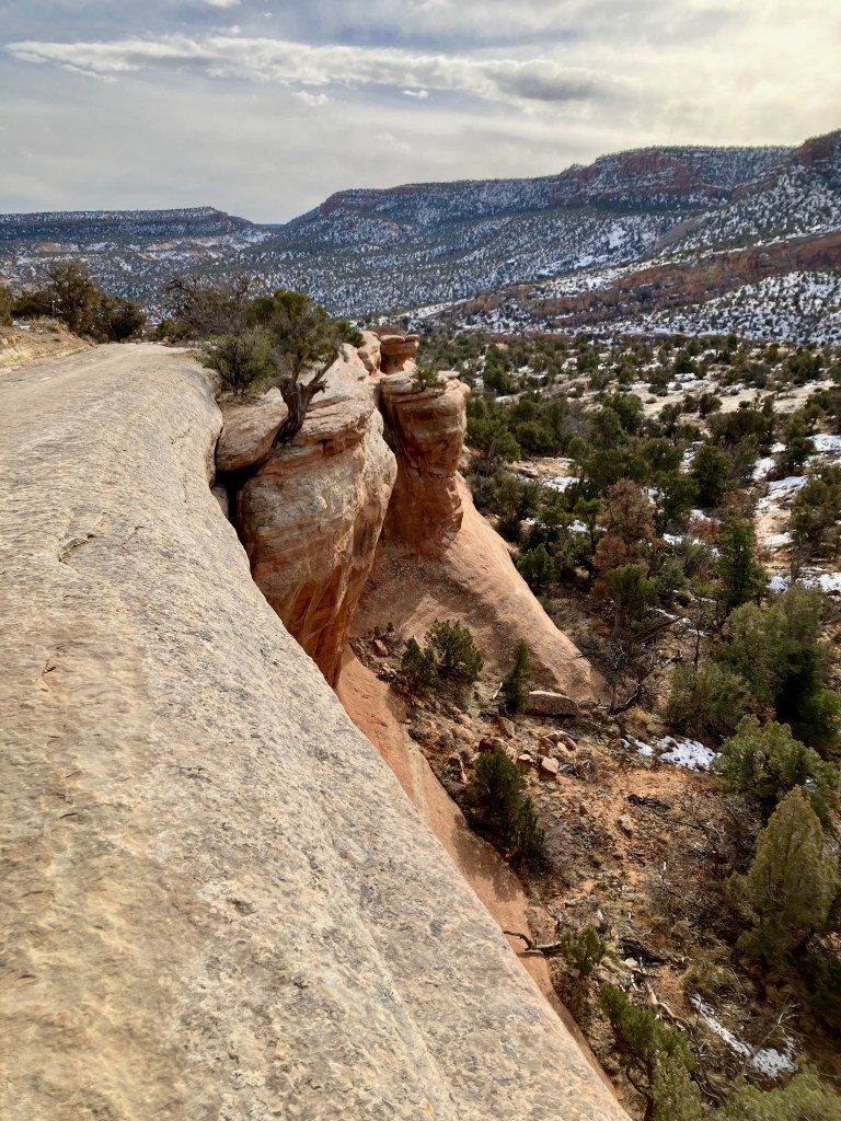
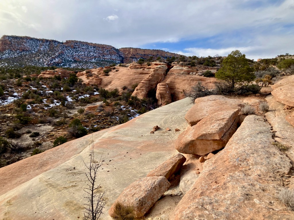
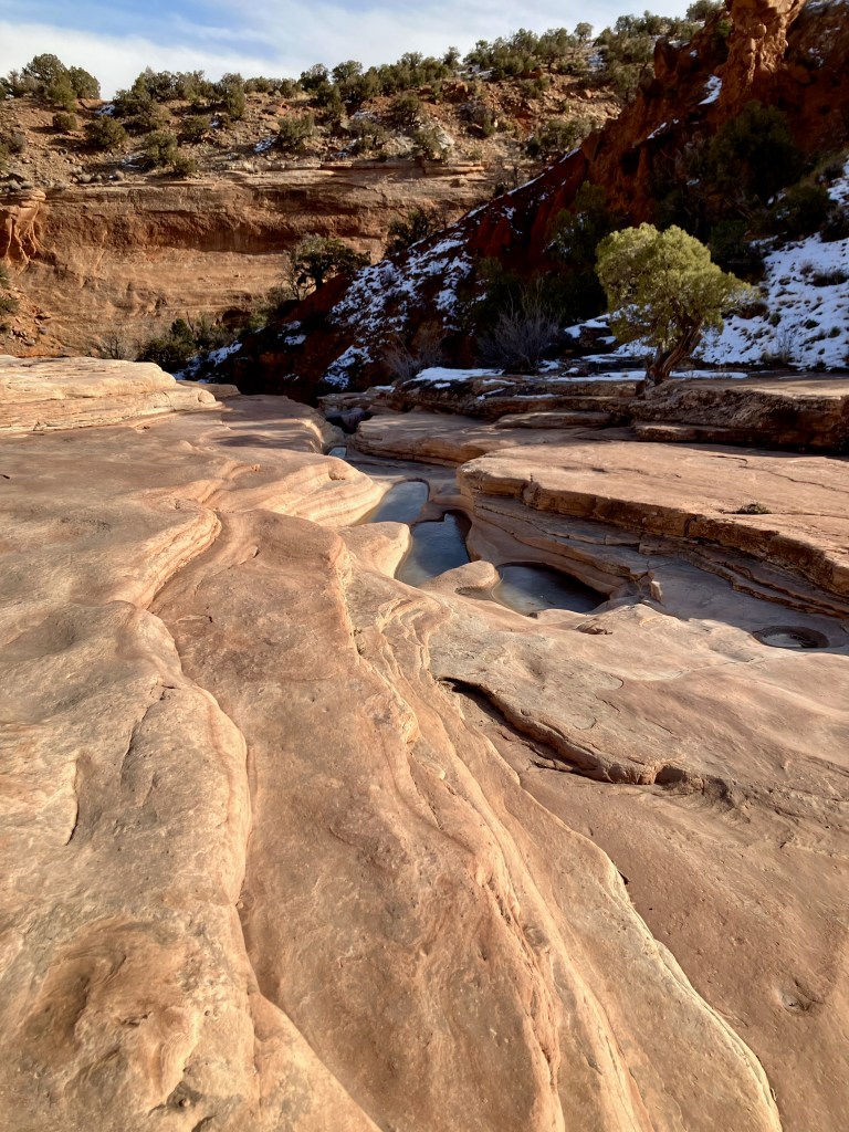
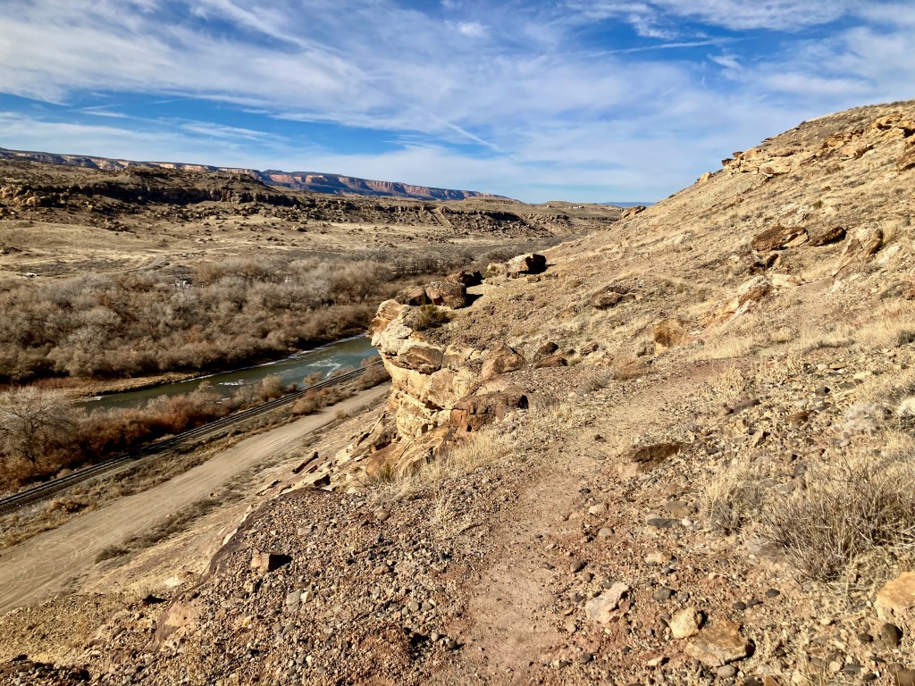
Overlook & River Ridge Trail
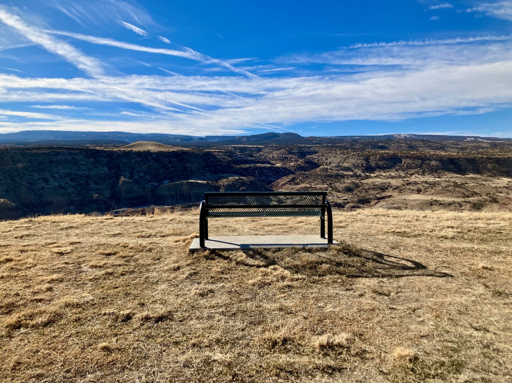
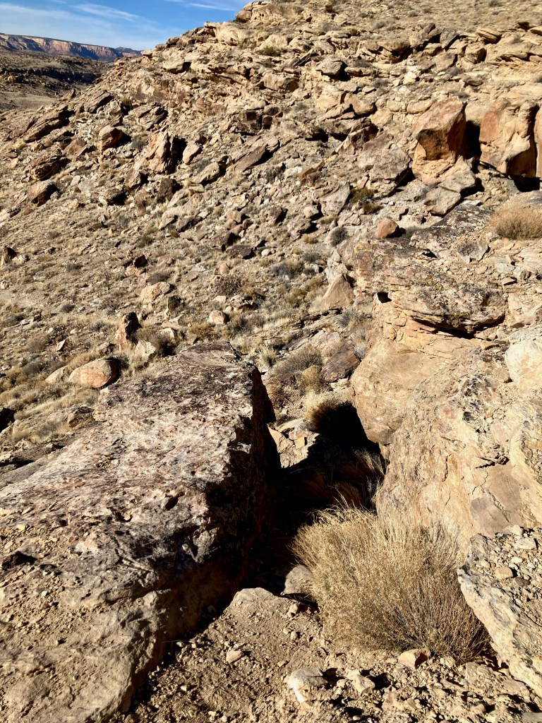
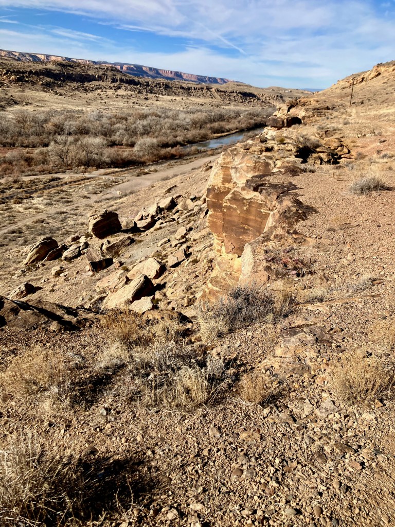
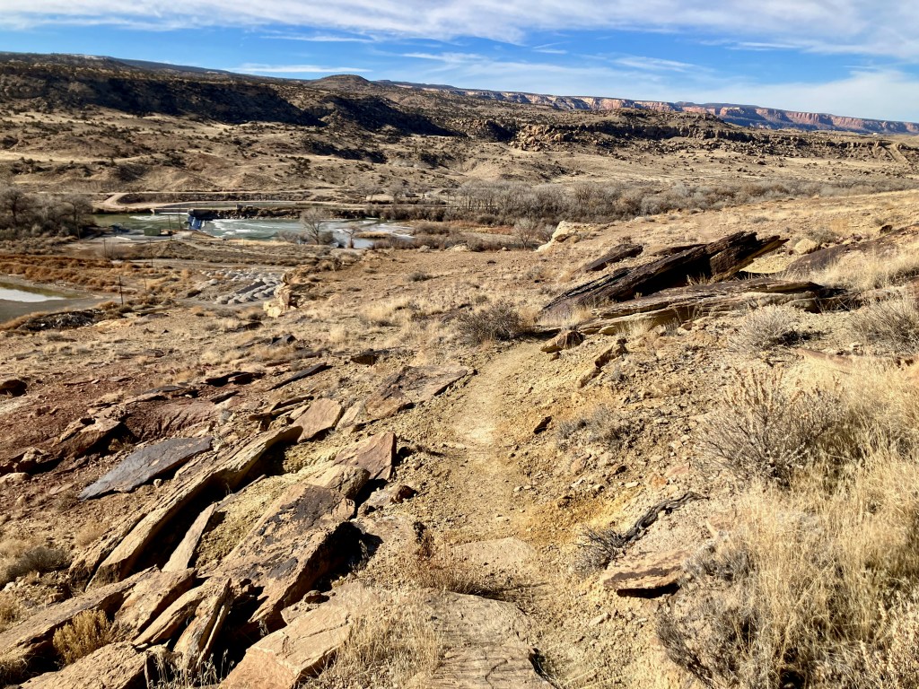
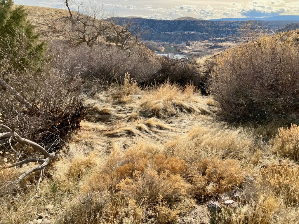
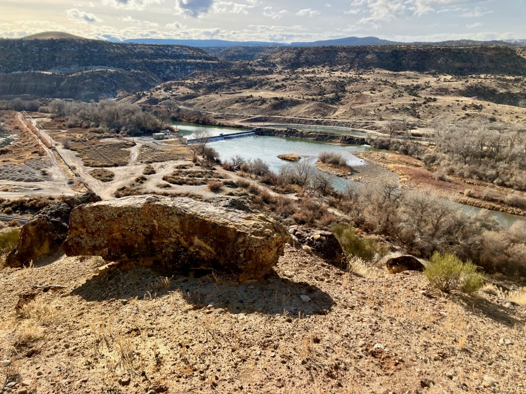
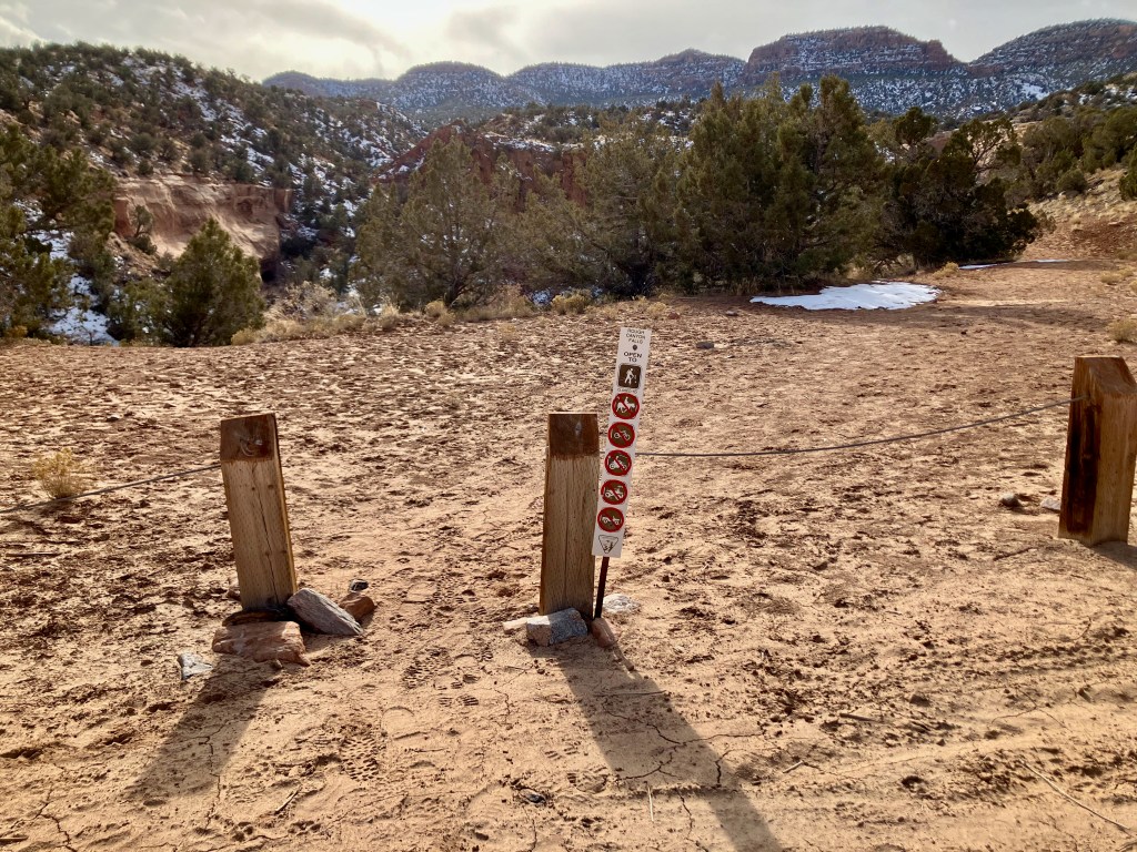
Liberty View – Secret Canyon Trail


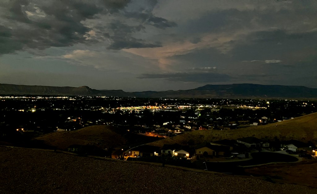
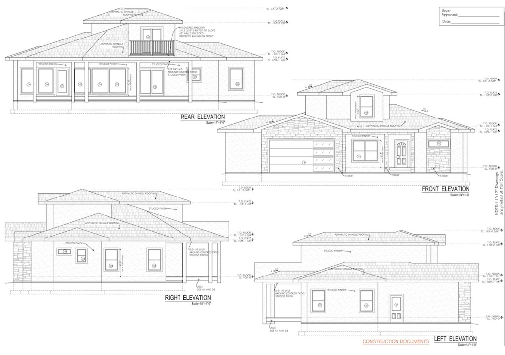
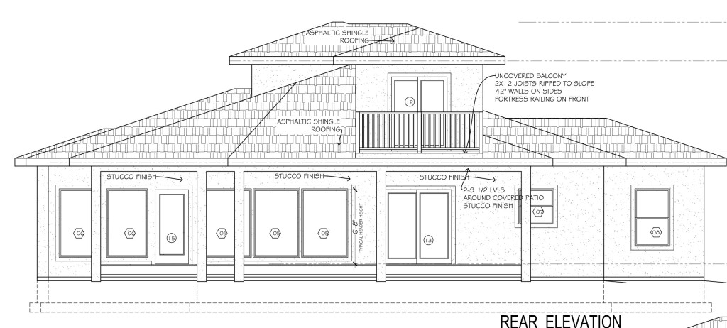
The focus of the house is on the back side with the view of the valley.
Our builder was great working with us to utilize large windows and create a large covered patio along with a nice open deck off of the upstairs bedroom.